Alaska has more glaciers than anywhere else in the United States, somewhere around 100,000 of them, and most visitors see exactly one: a white smear on a mountainside, viewed from a road or a boat deck at a distance that makes it look like snow. We wanted to get closer than that. The second half of our trip was built around three ways of doing it, on foot with crampons, in a kayak among the icebergs, and from the deck of a small boat in a fjord, plus the one permit we had spent six months and a fair amount of money trying to win.
September made all of it possible and some of it harder. The tundra was turning red, the bears were eating everything they could find before hibernation, and the tour operators were running their last trips of the season. It also meant weather. One of the things we had booked did not happen the way we booked them, and another did not happen at all.
This episode covers the southern half of the state: the Denali Highway, the glaciers of the Glenn and Richardson corridors, Valdez and Prince William Sound, the Kenai Peninsula, and the ninety-two miles of dirt road that run into the heart of Denali National Park.









The Denali Highway
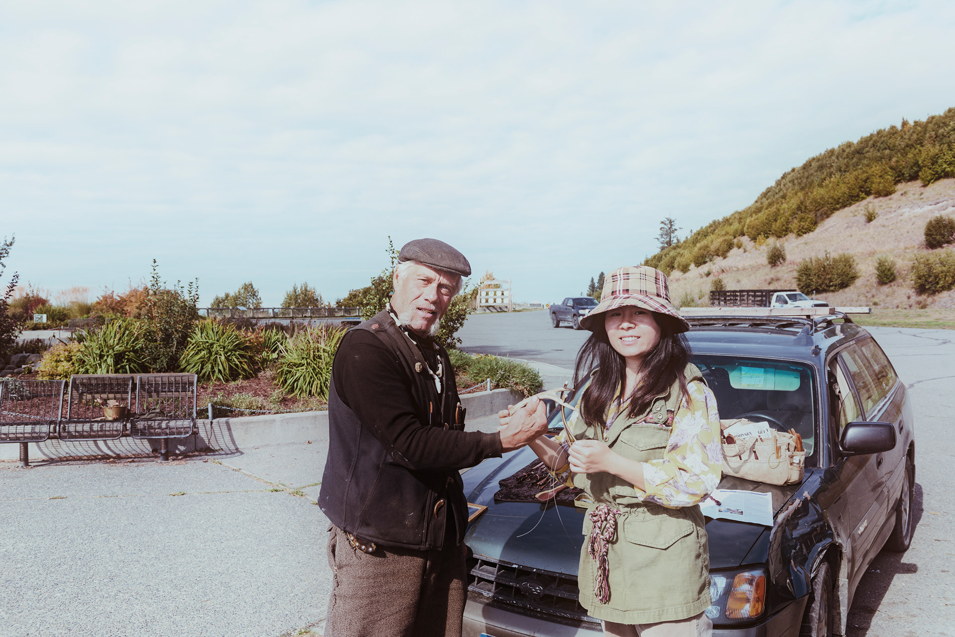
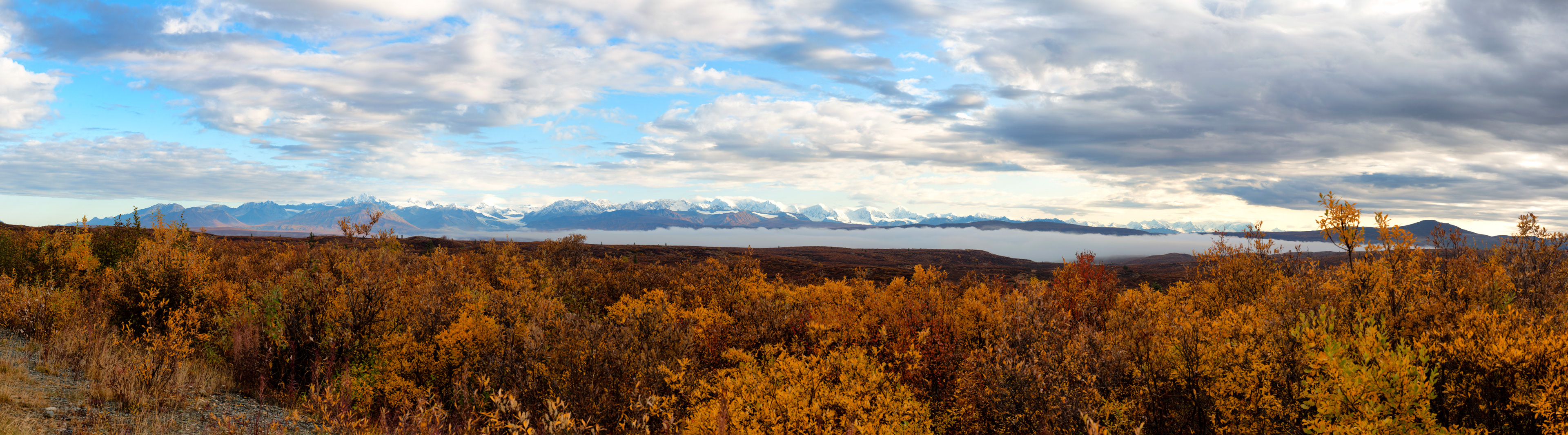
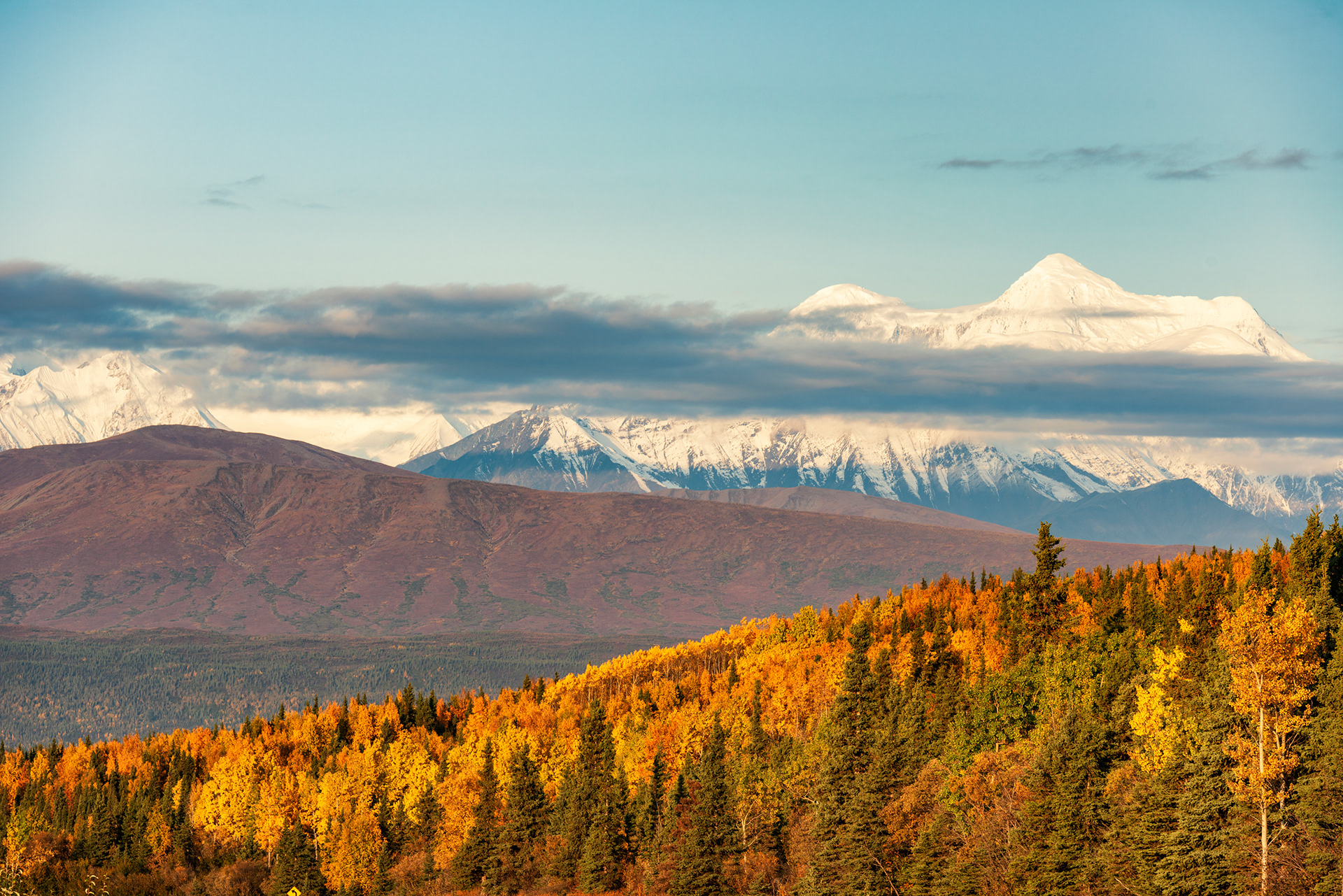
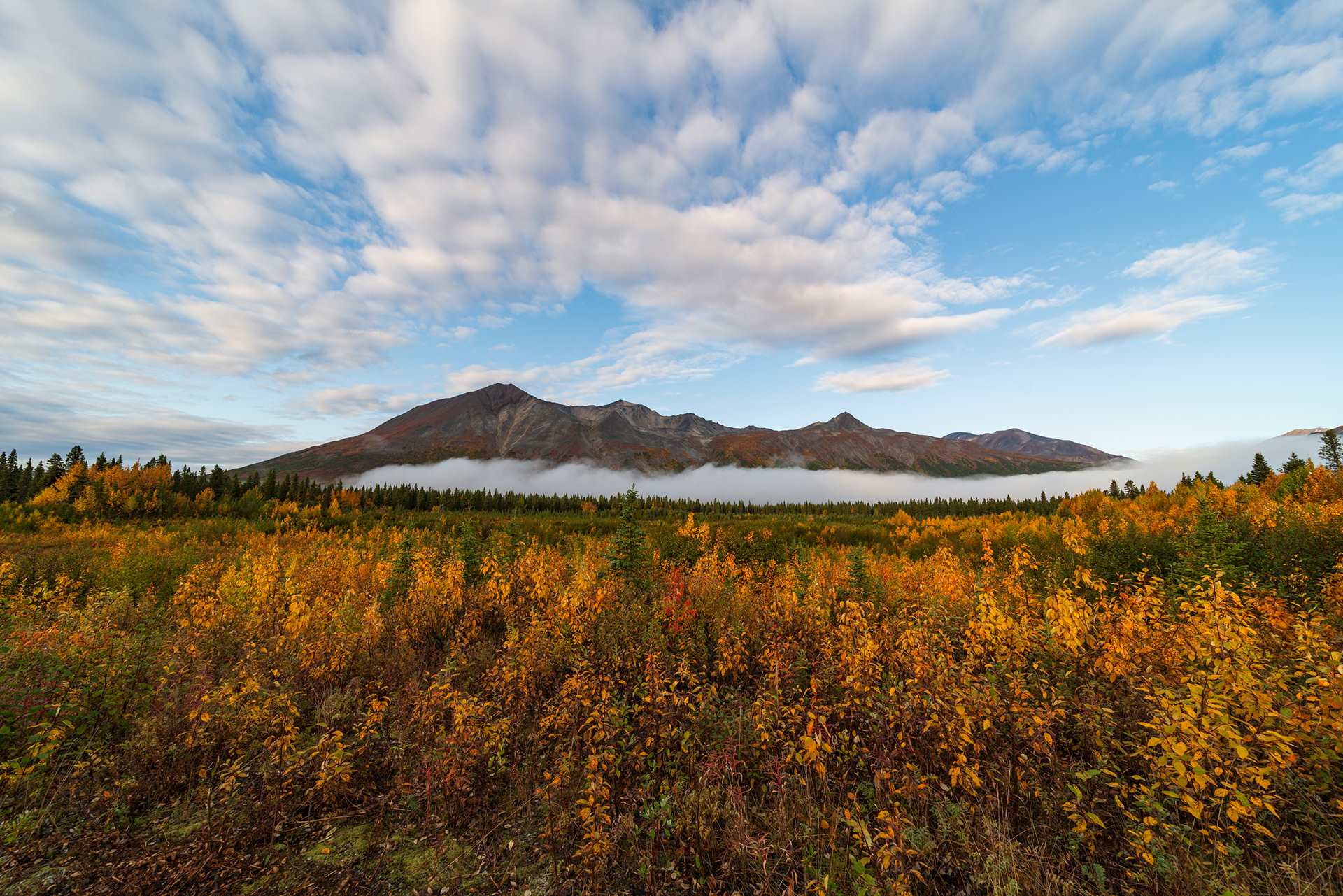
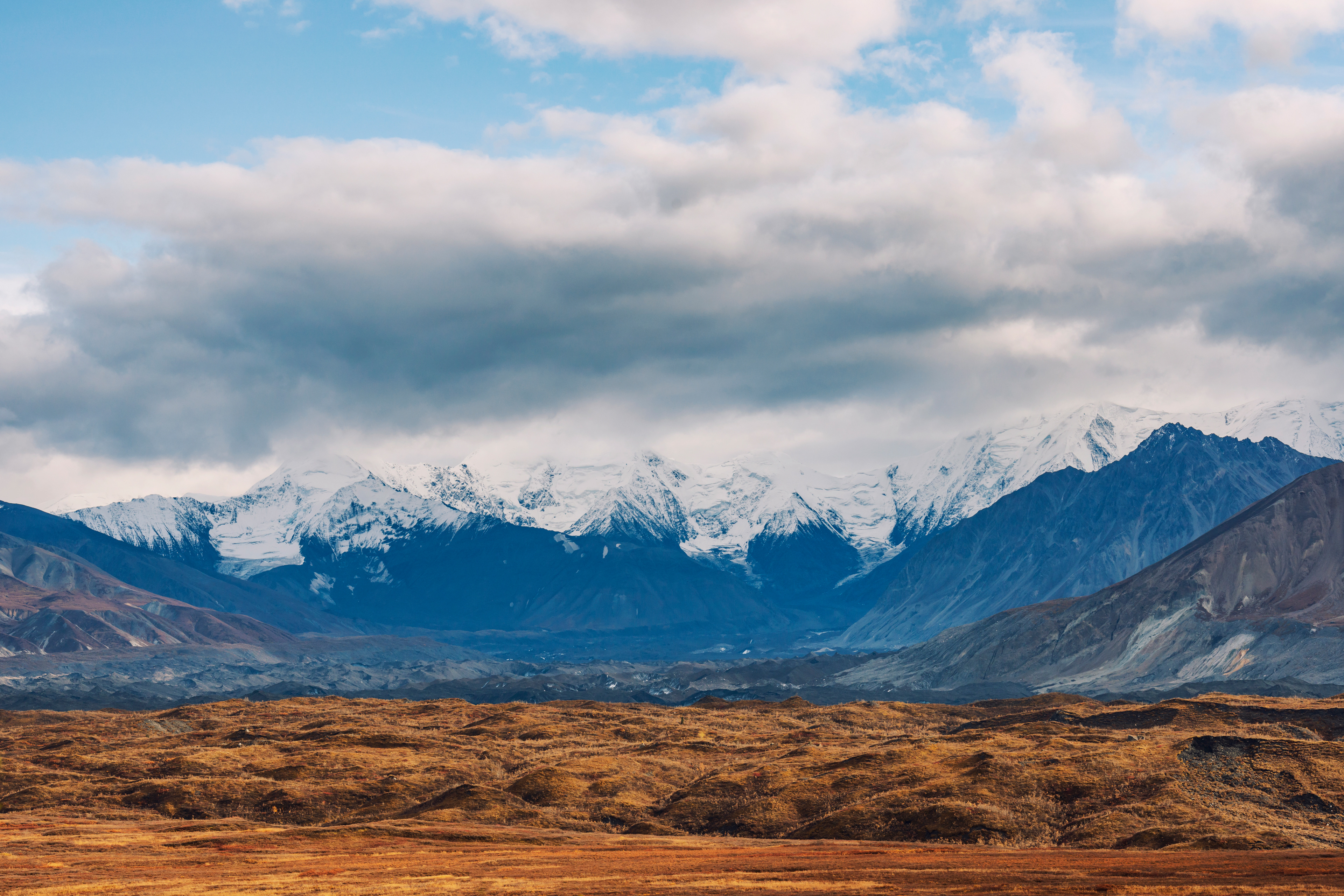
We left Delta Junction in the morning, drove south on the Richardson Highway, and turned west at Paxson onto what is probably the most underrated road in Alaska: the Denali Highway, which runs 134 miles from Paxson to Cantwell, along the southern flank of the Alaska Range. When it opened in 1957 it was the only road to Denali National Park. Then the Parks Highway was completed in 1972, took over the job of getting people there, and left this one with nothing to do but be beautiful. It has been a scenic route ever since. Most of it is gravel in good condition, and when we drove it we passed two separate crews laying asphalt, so the balance is shifting. More people will find it soon.
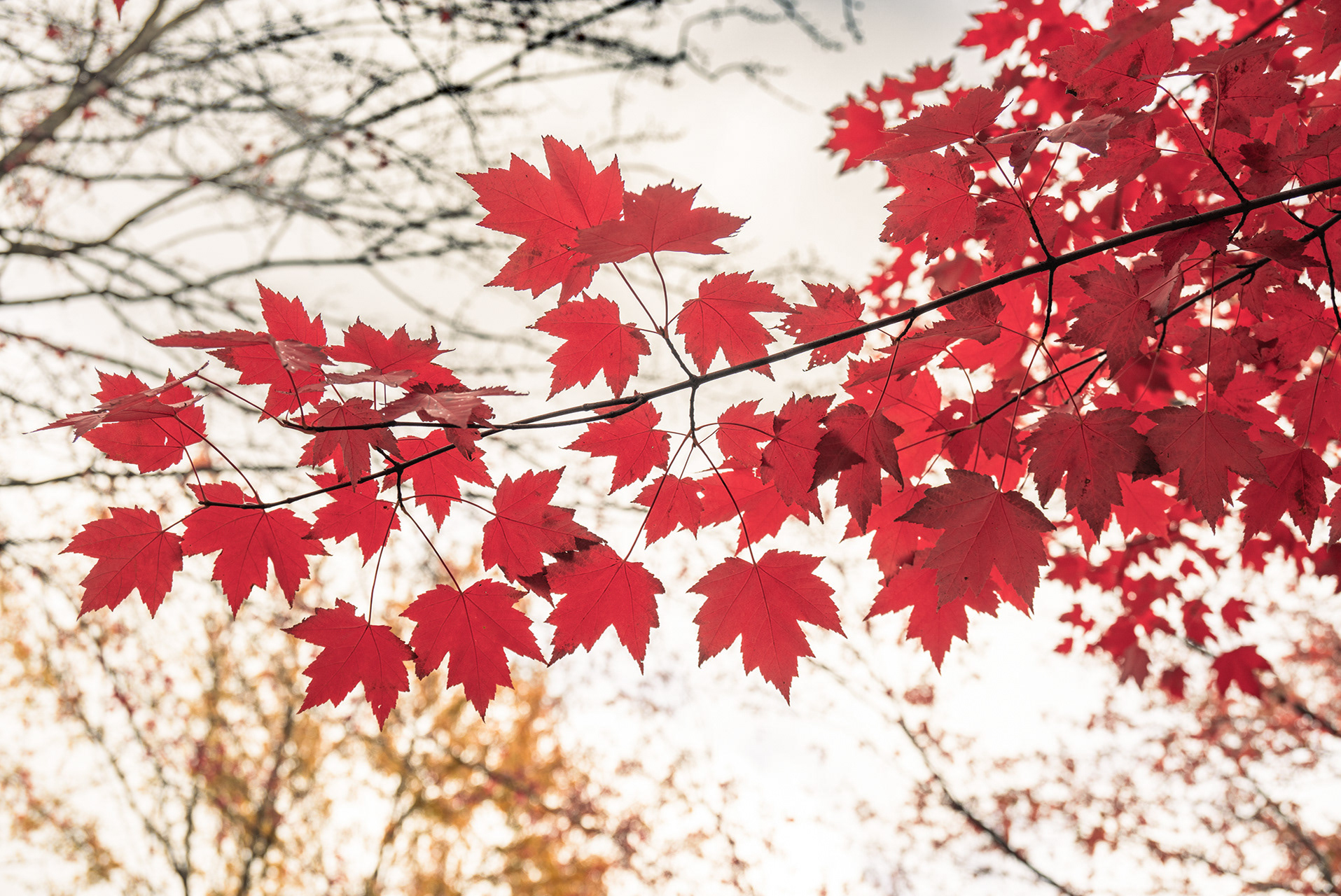
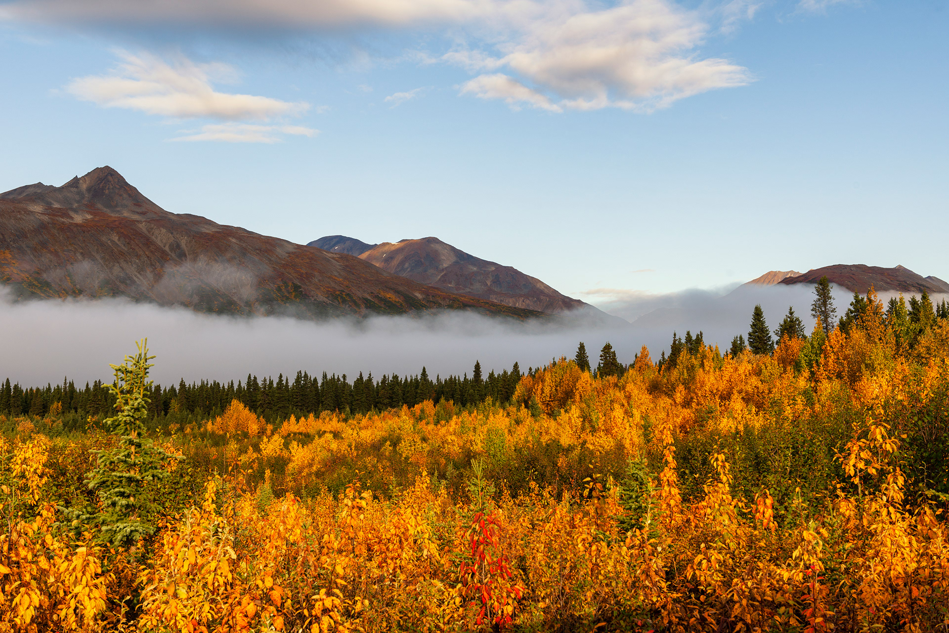
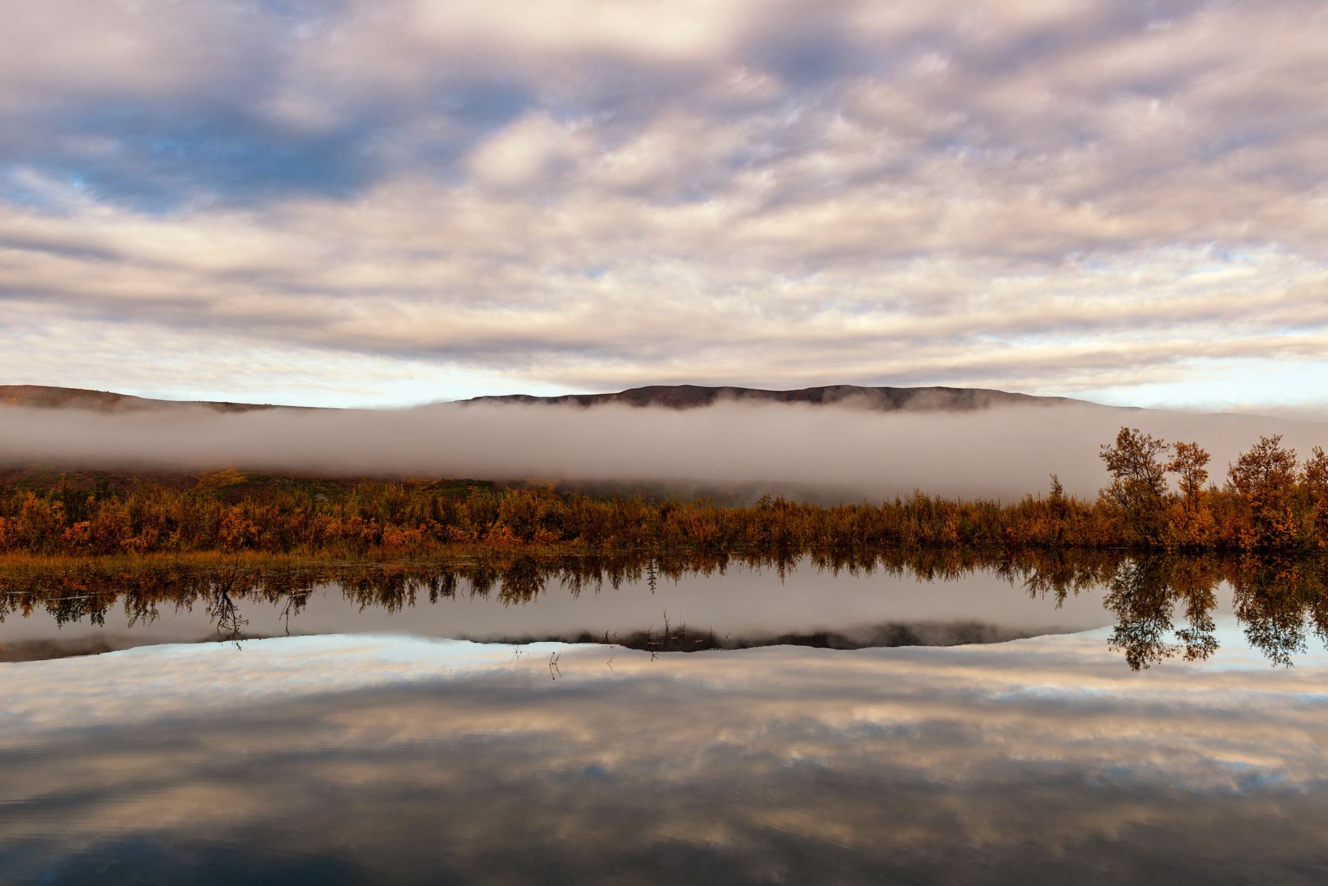
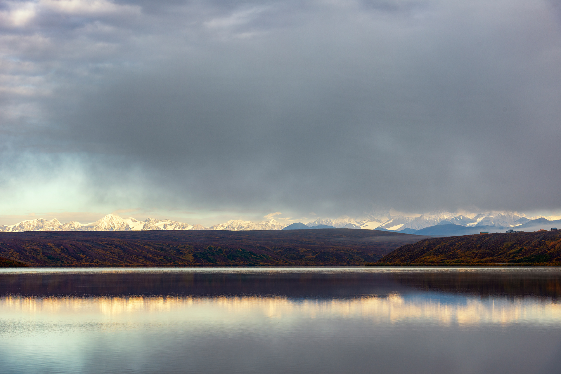
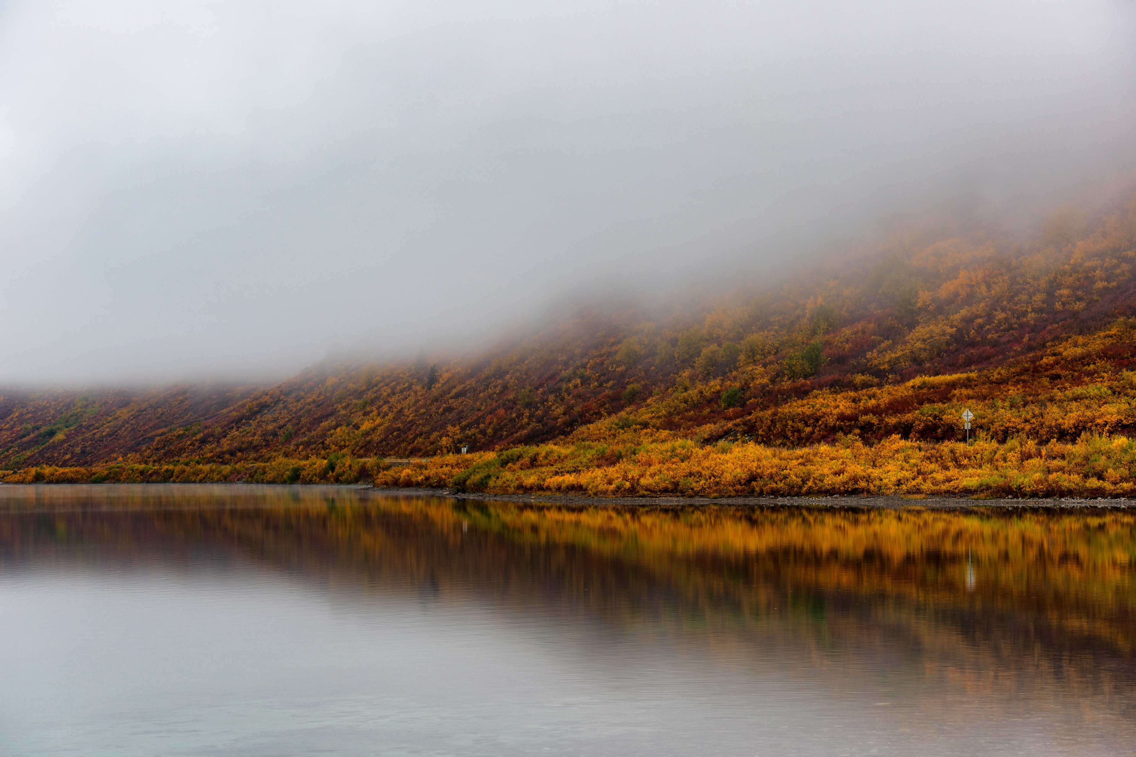
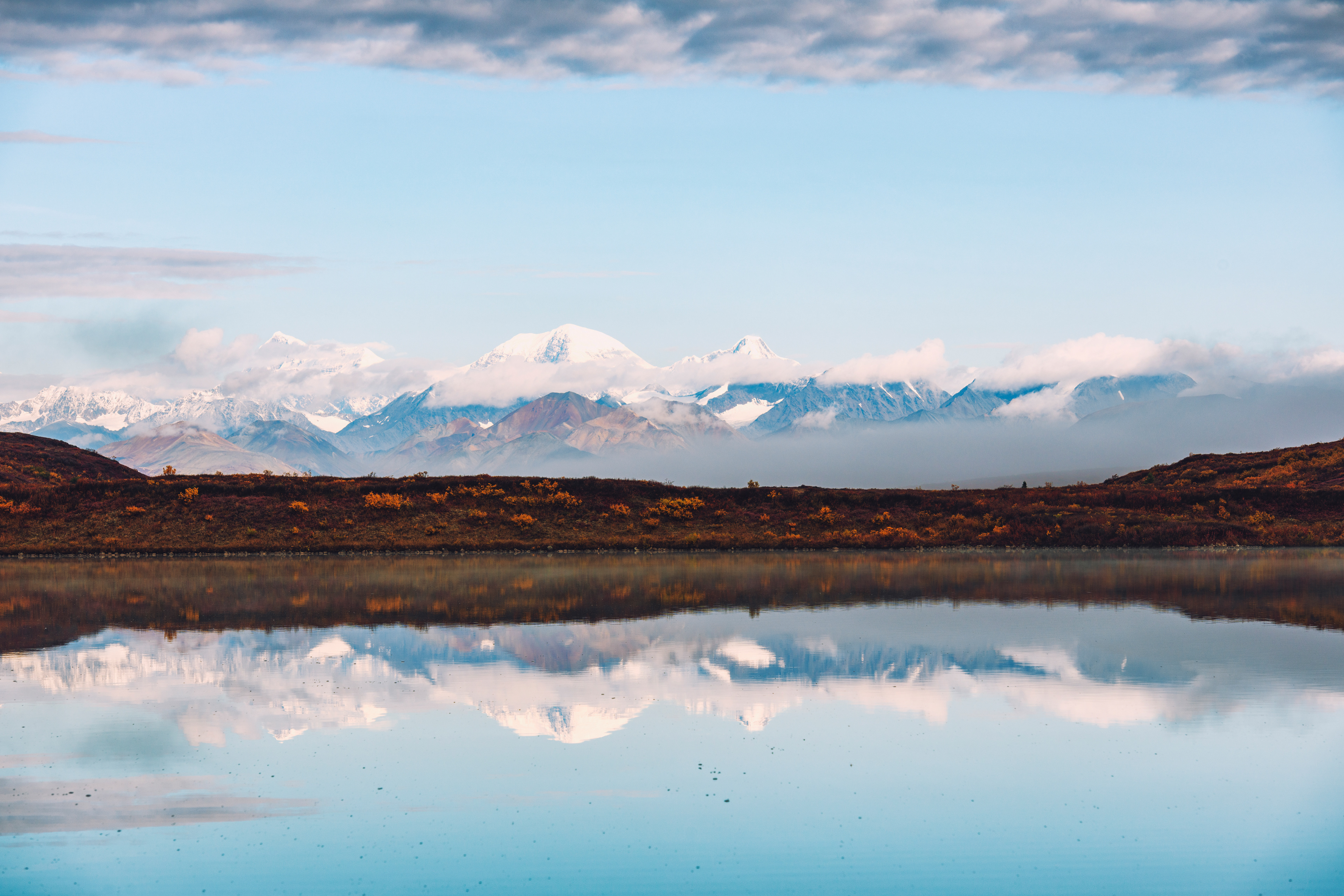
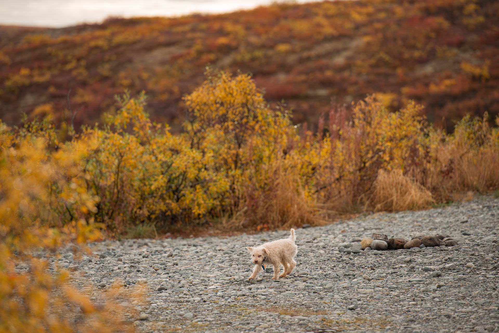
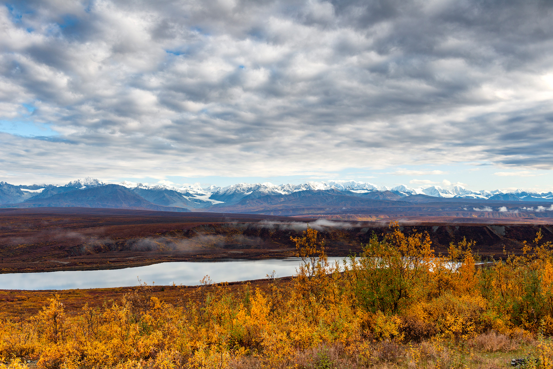
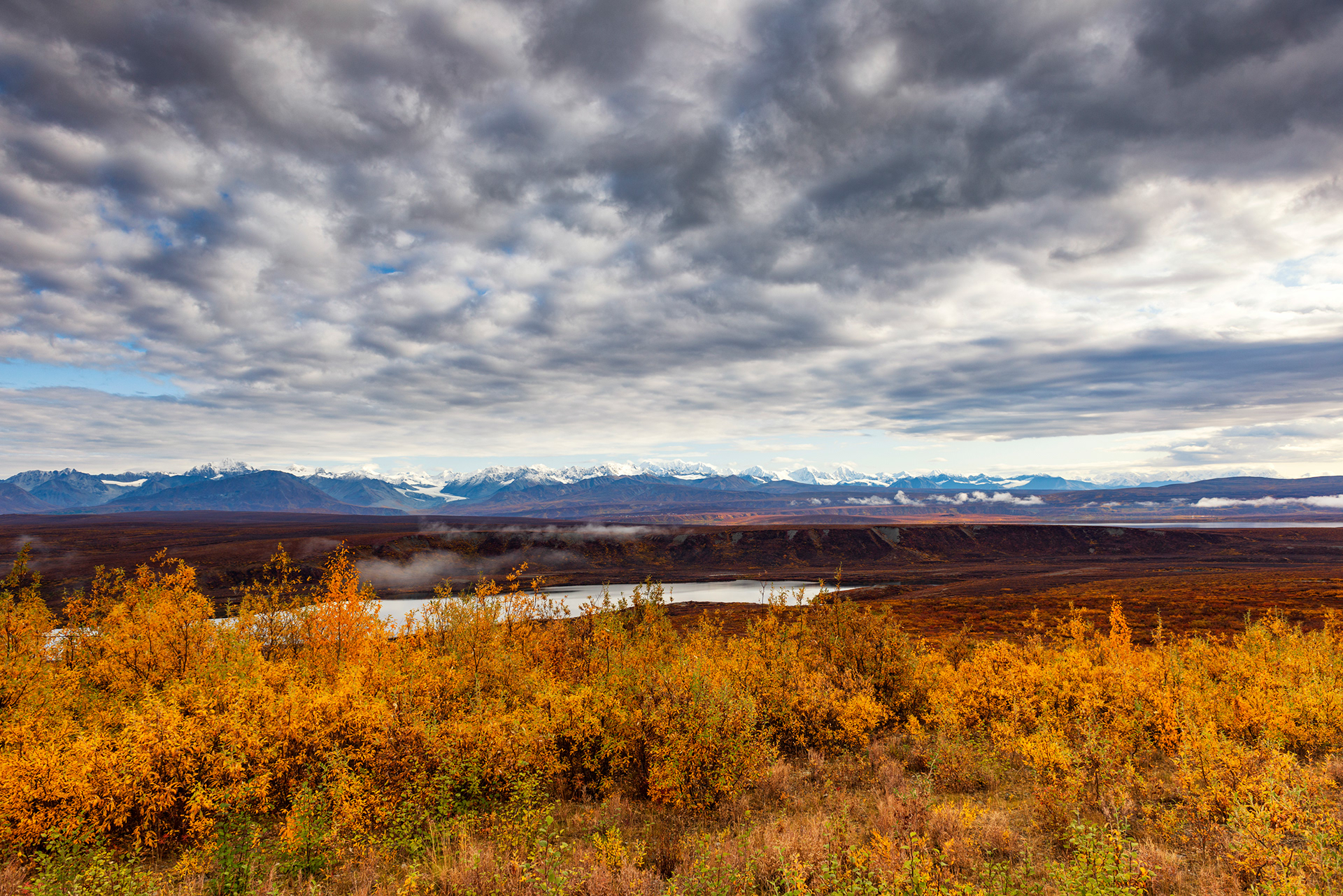
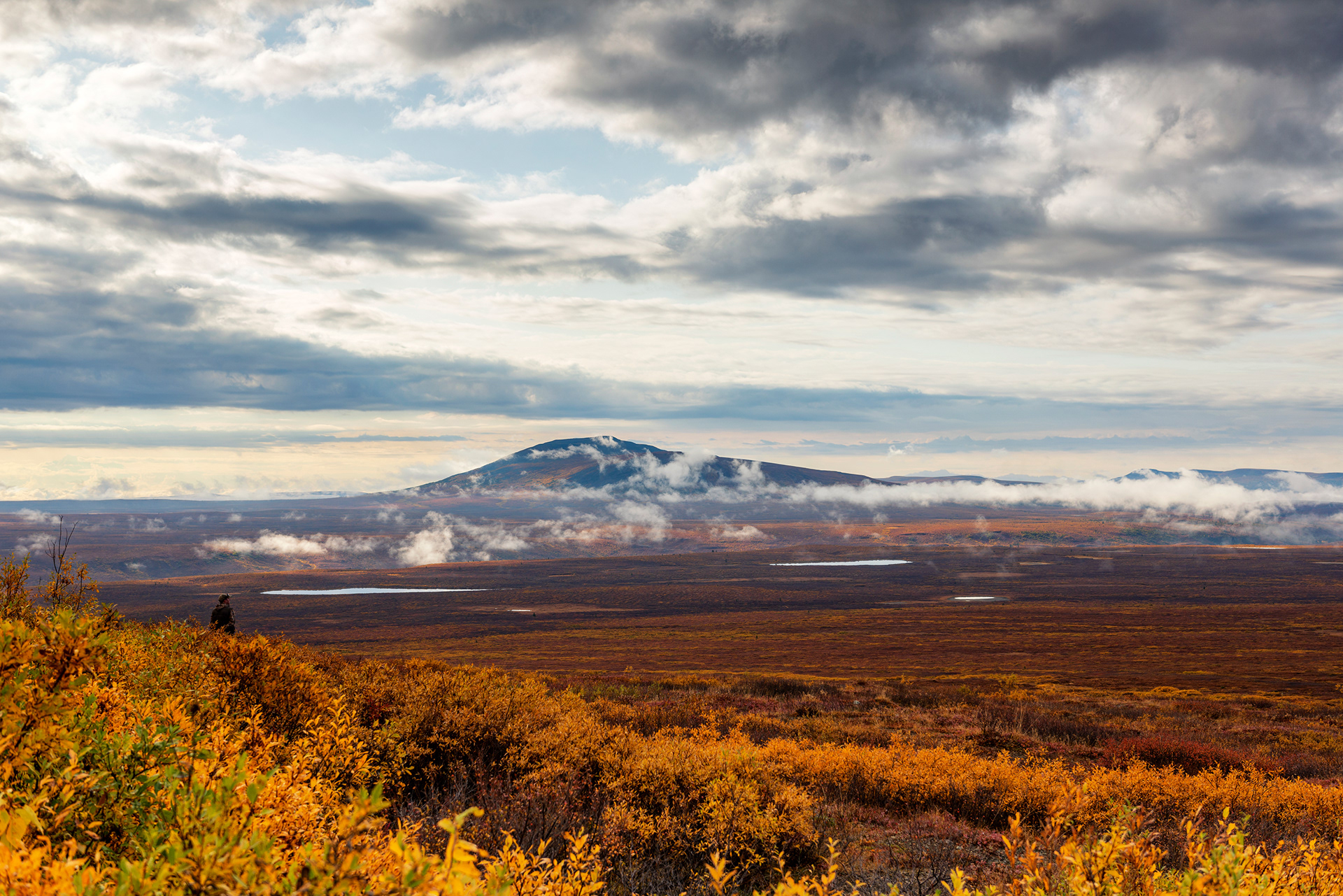
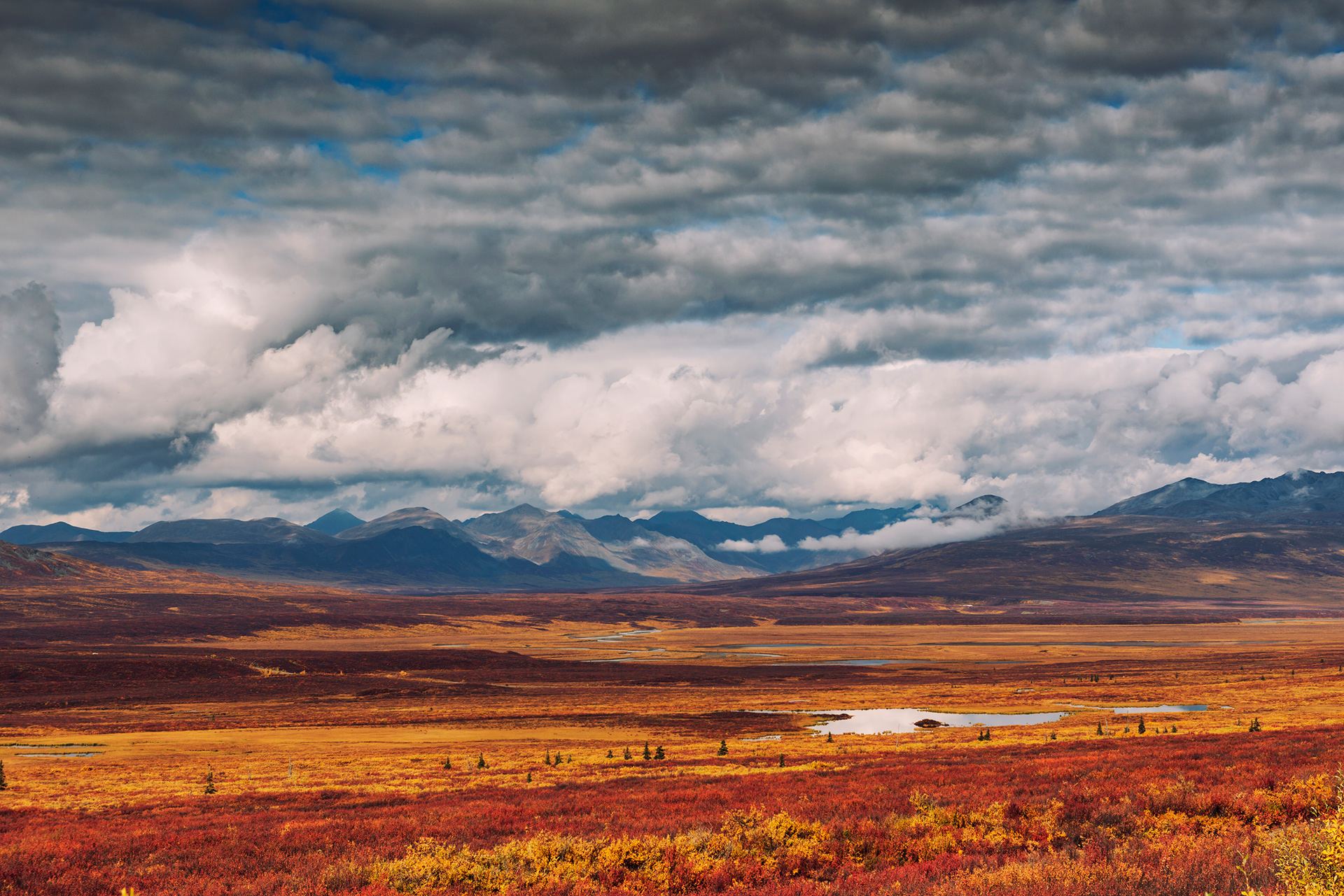
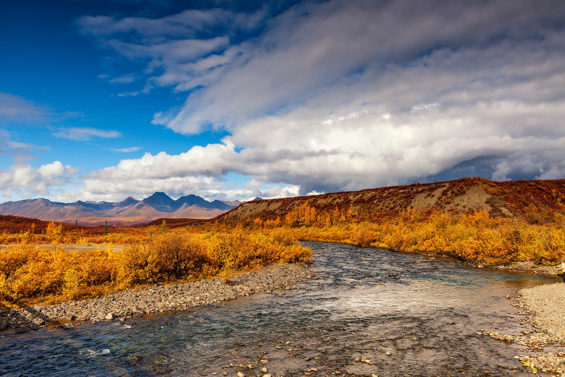
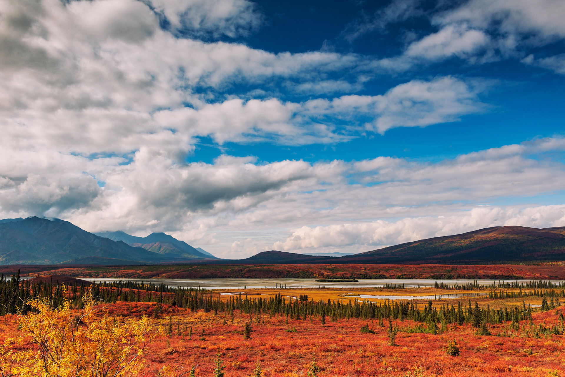
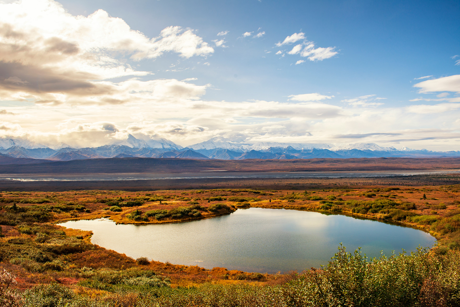
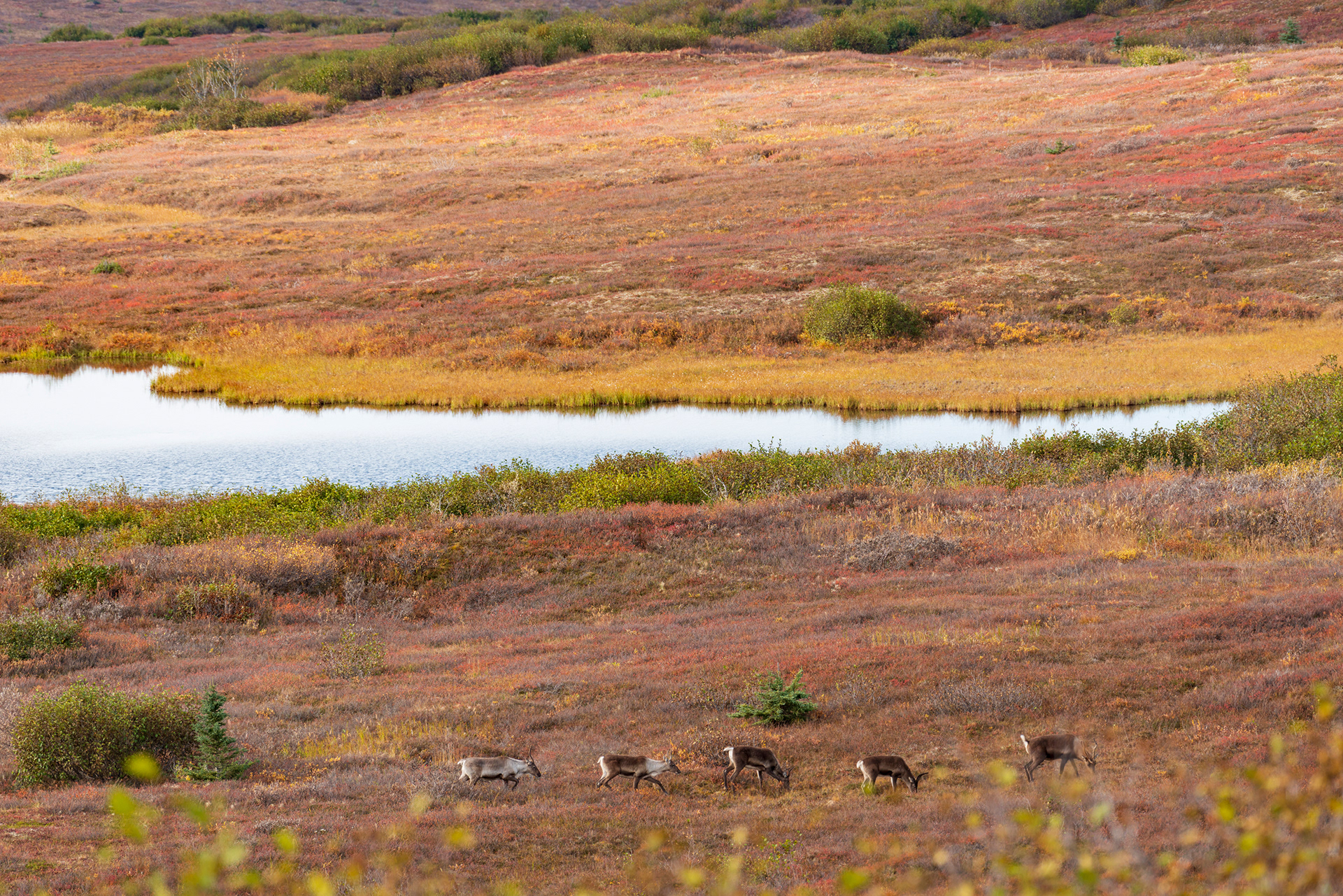
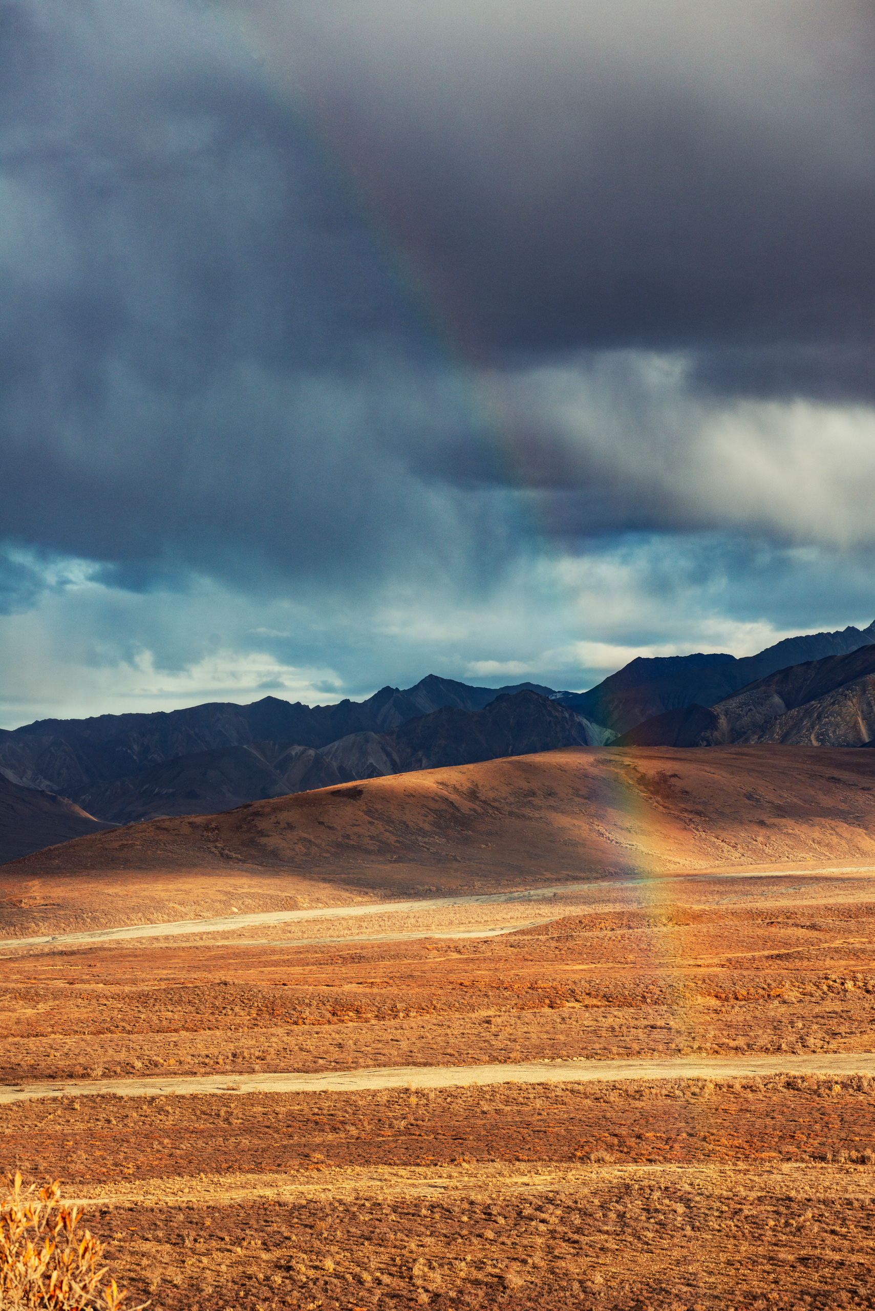
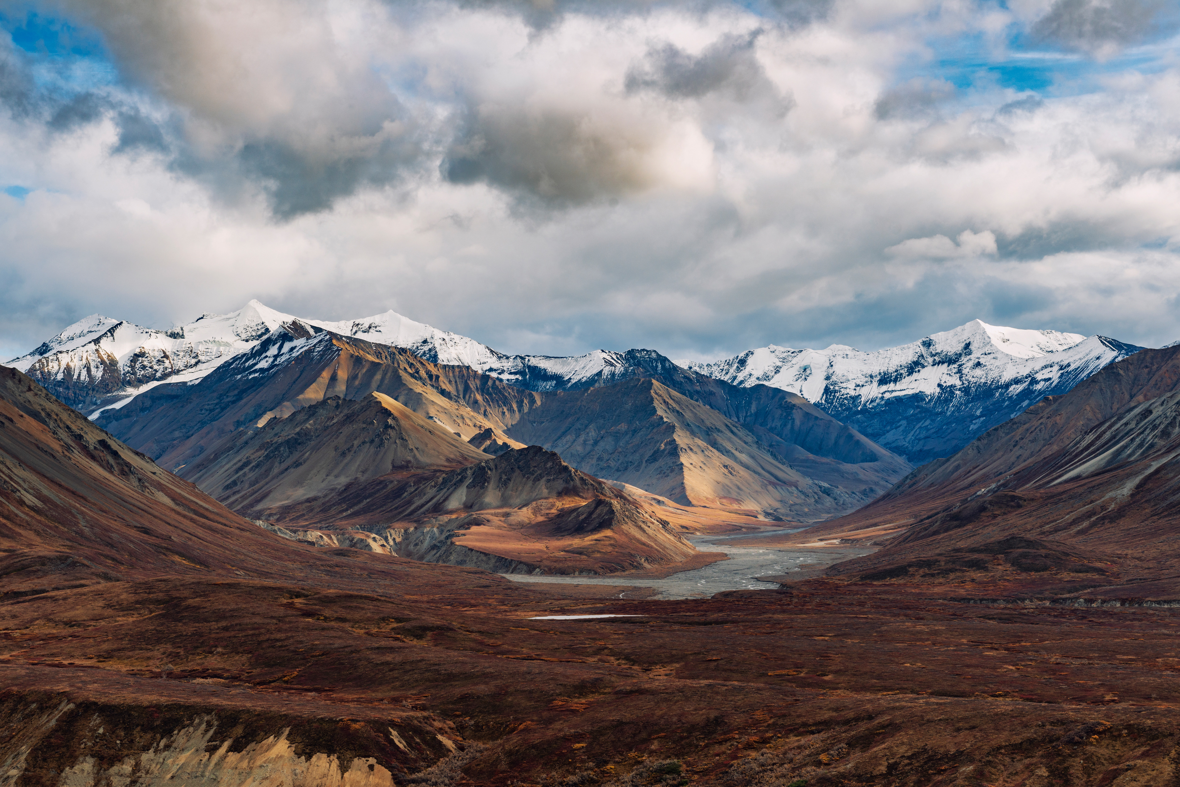
The first stretch west of Paxson is the best position on the whole road for mountains. The Alaska Range fills the view to the north and the Wrangell Mountains stand off to the southeast, and between them are lakes that hold both. At Summit Lake the water was still enough to take the peaks whole. Fog was lifting out of the valleys. Someone had set up a camp by the shore and brought their dog, which struck us as a much better plan than ours. Further west the country flattens into tundra and the color starts. Kettle ponds, hundreds of small round lakes left where blocks of glacial ice melted out of the ground, sit scattered across a plain that in mid-September had gone scarlet and rust and gold. The blueberries along the shoulder are wild and free to pick. We stopped for them more than once.
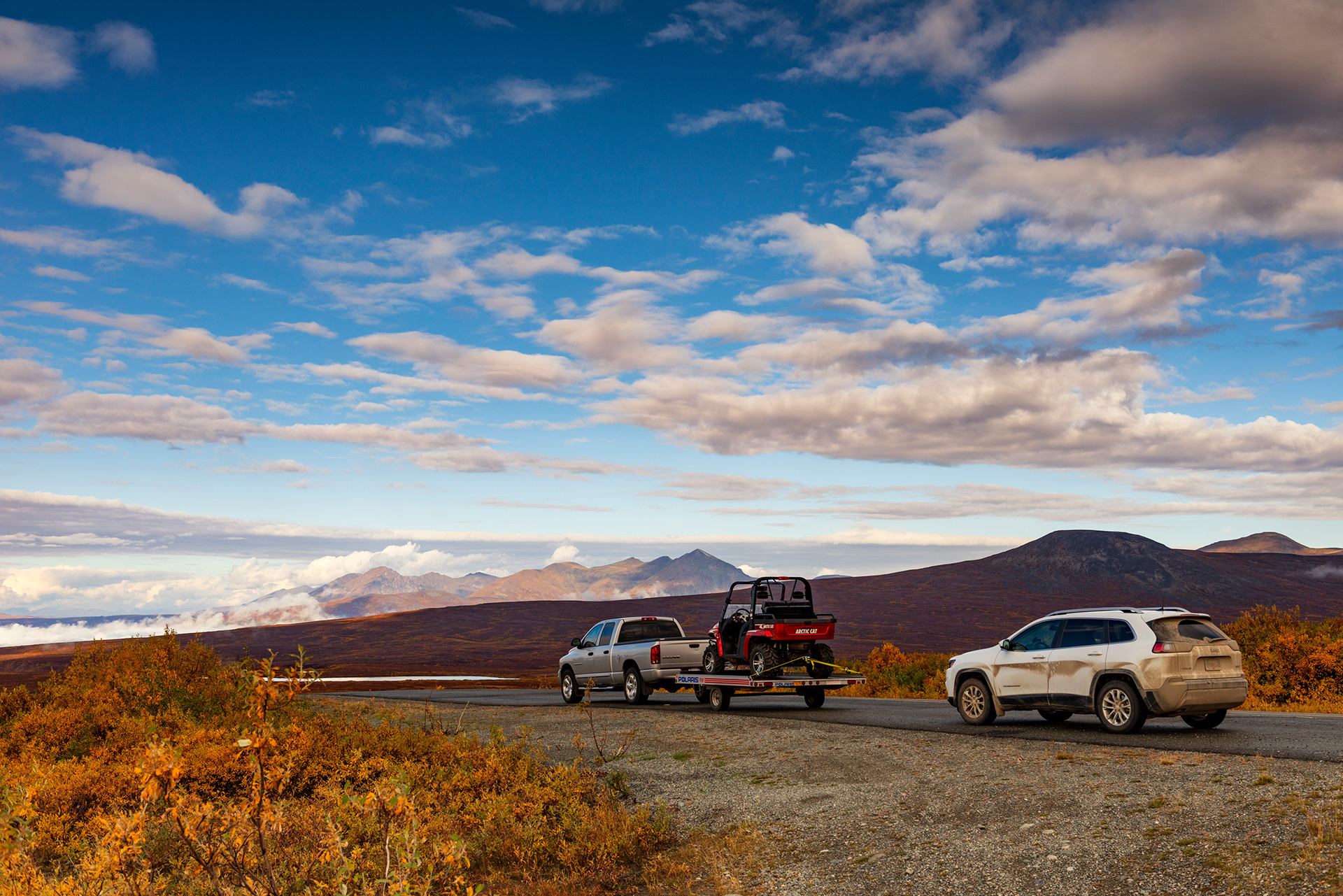
We gave the Denali Highway barely one day, and it was definitely not enough. The correct way to do this road is to camp on it for at least one night, and to bring or rent an ATV for the side tracks that run off into the hills. We passed someone towing one behind a truck and felt the particular envy of people who have planned badly. It goes on the list for next time.


Matanuska Glacier
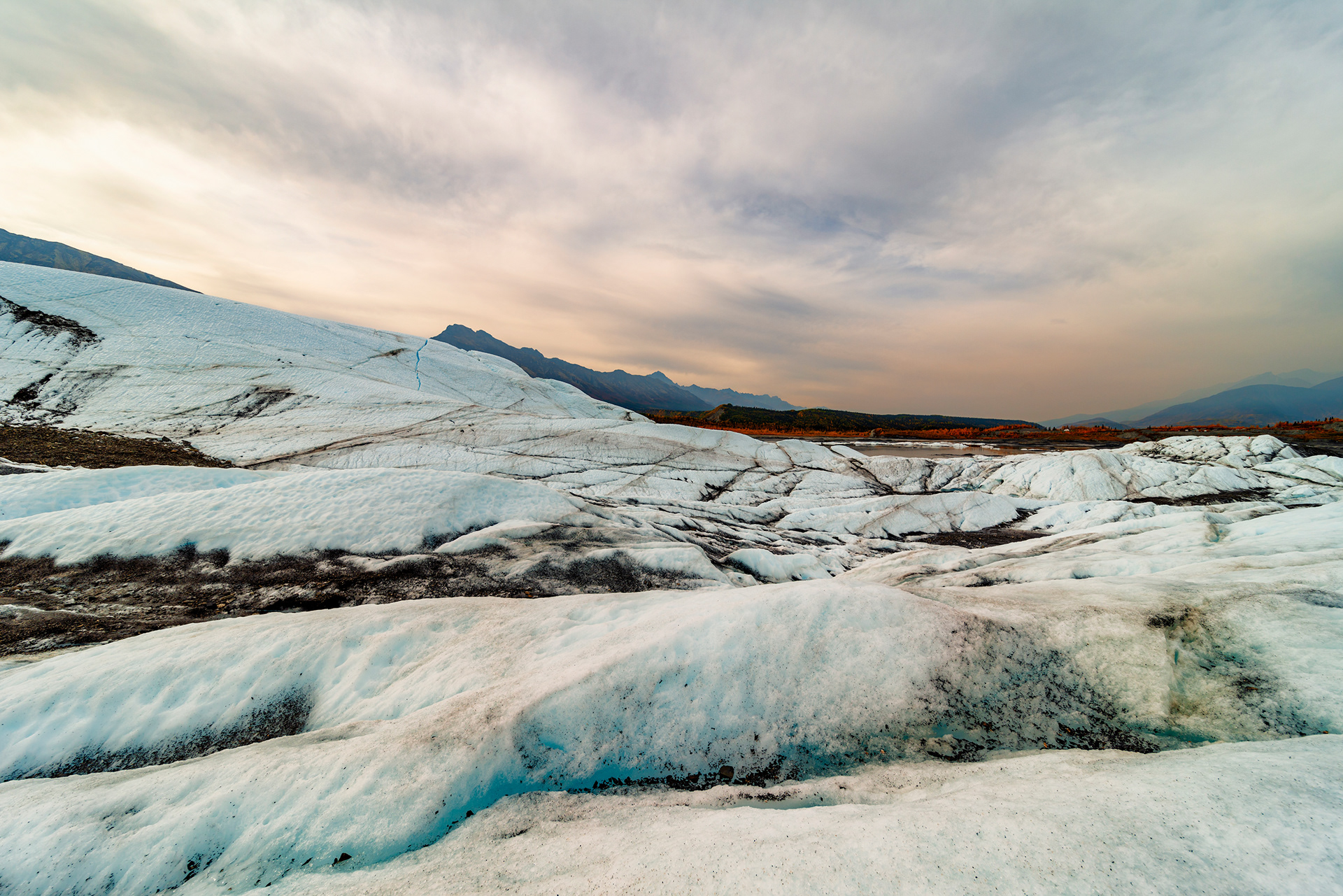
Glaciers form where snow never entirely melts. Each year's snowfall compresses the layers beneath it, the snow turns to firn and then to granular ice and then to solid glacial ice, and when the mass gets heavy enough it begins to move downhill under its own weight. A glacier that stays within its valley walls is a valley glacier. One that spills out onto flat ground and spreads is a piedmont glacier. One that reaches the sea is a tidewater glacier, and Alaska has all three.
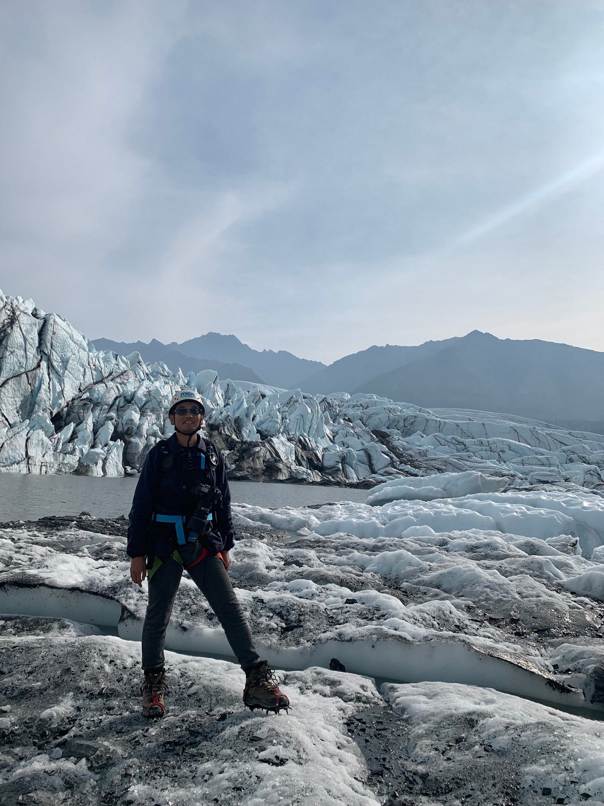
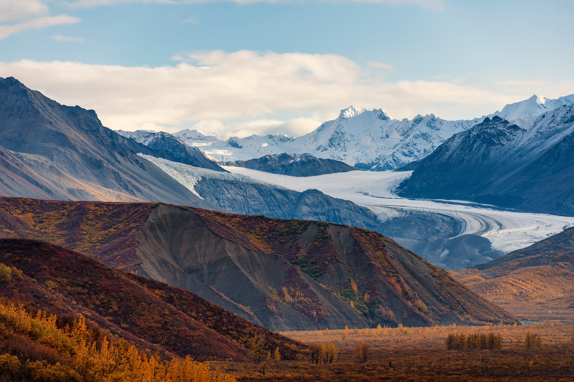
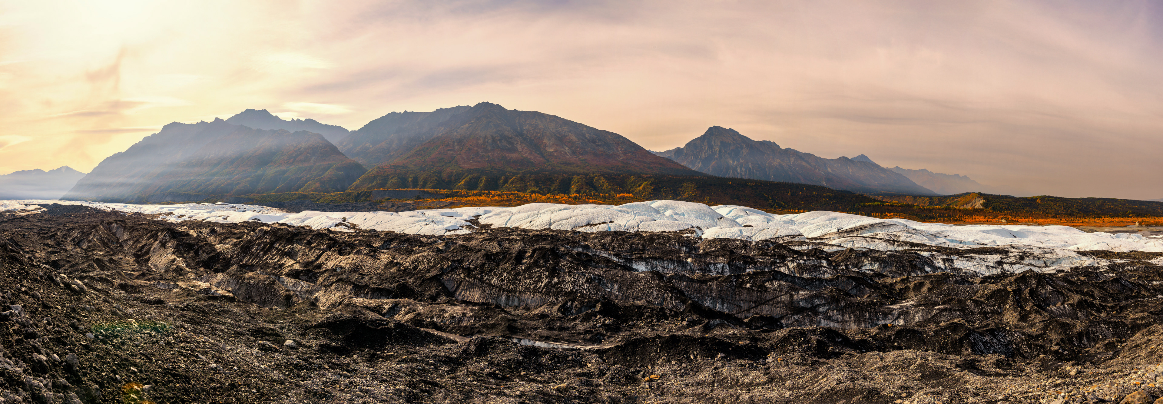
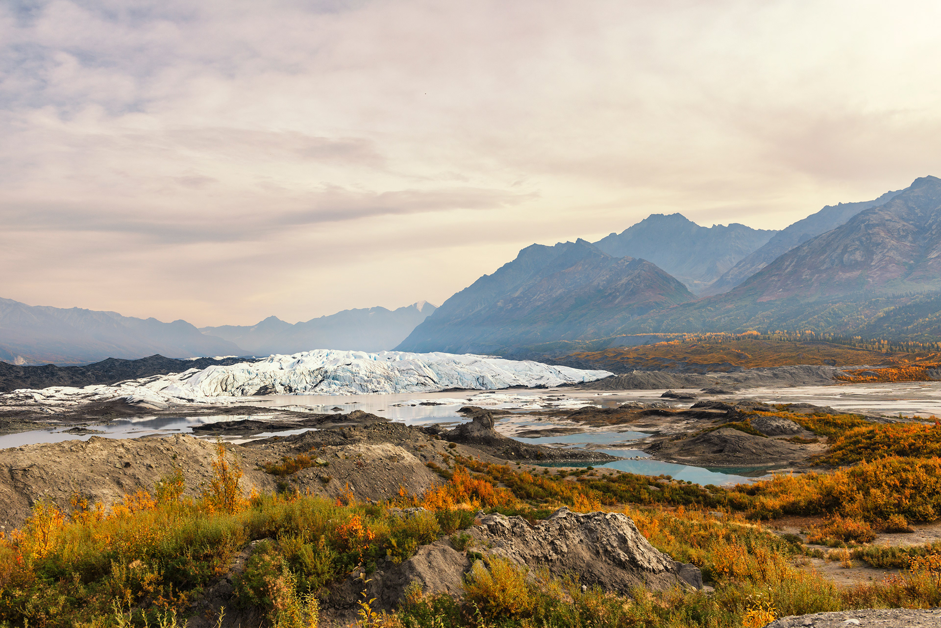
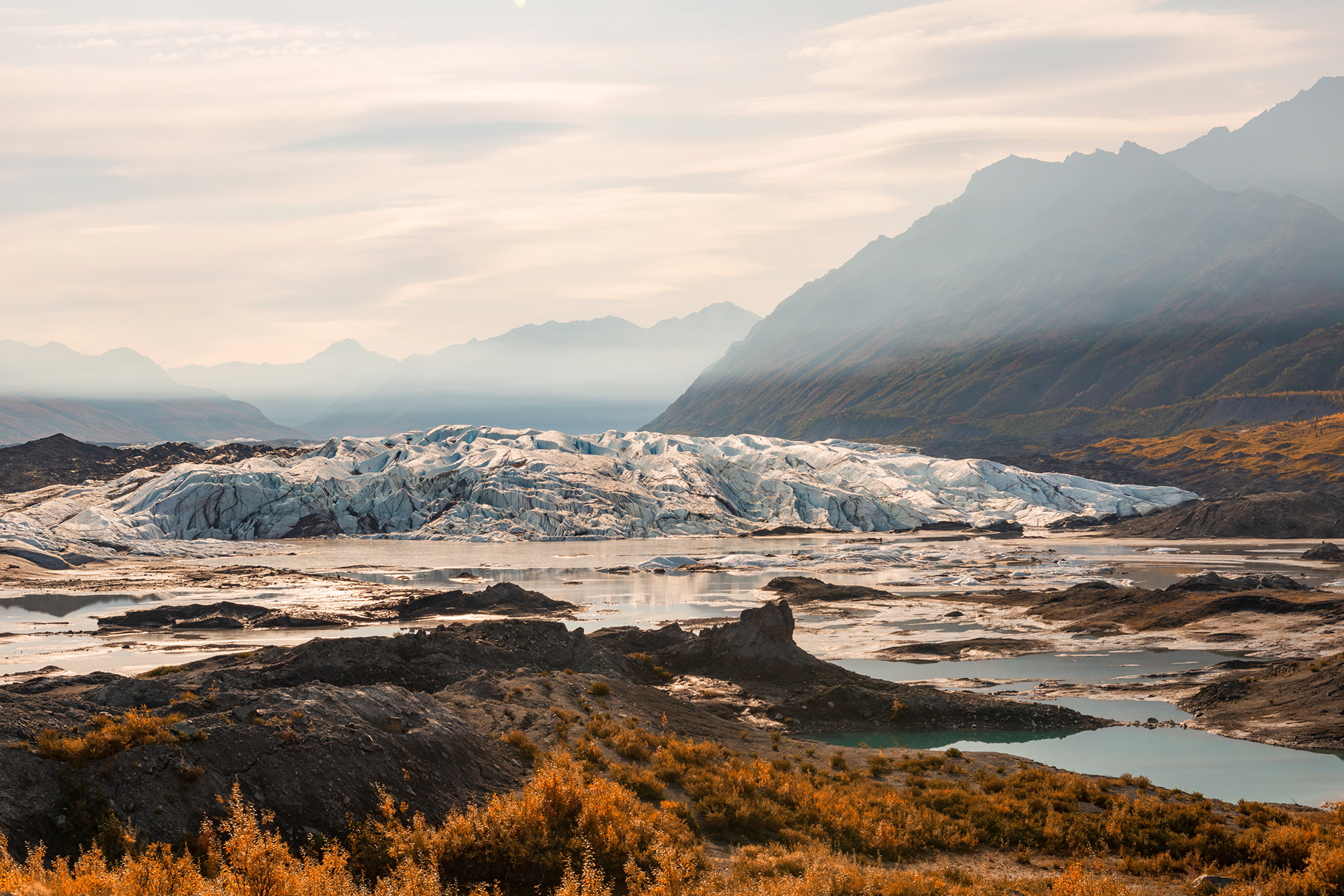
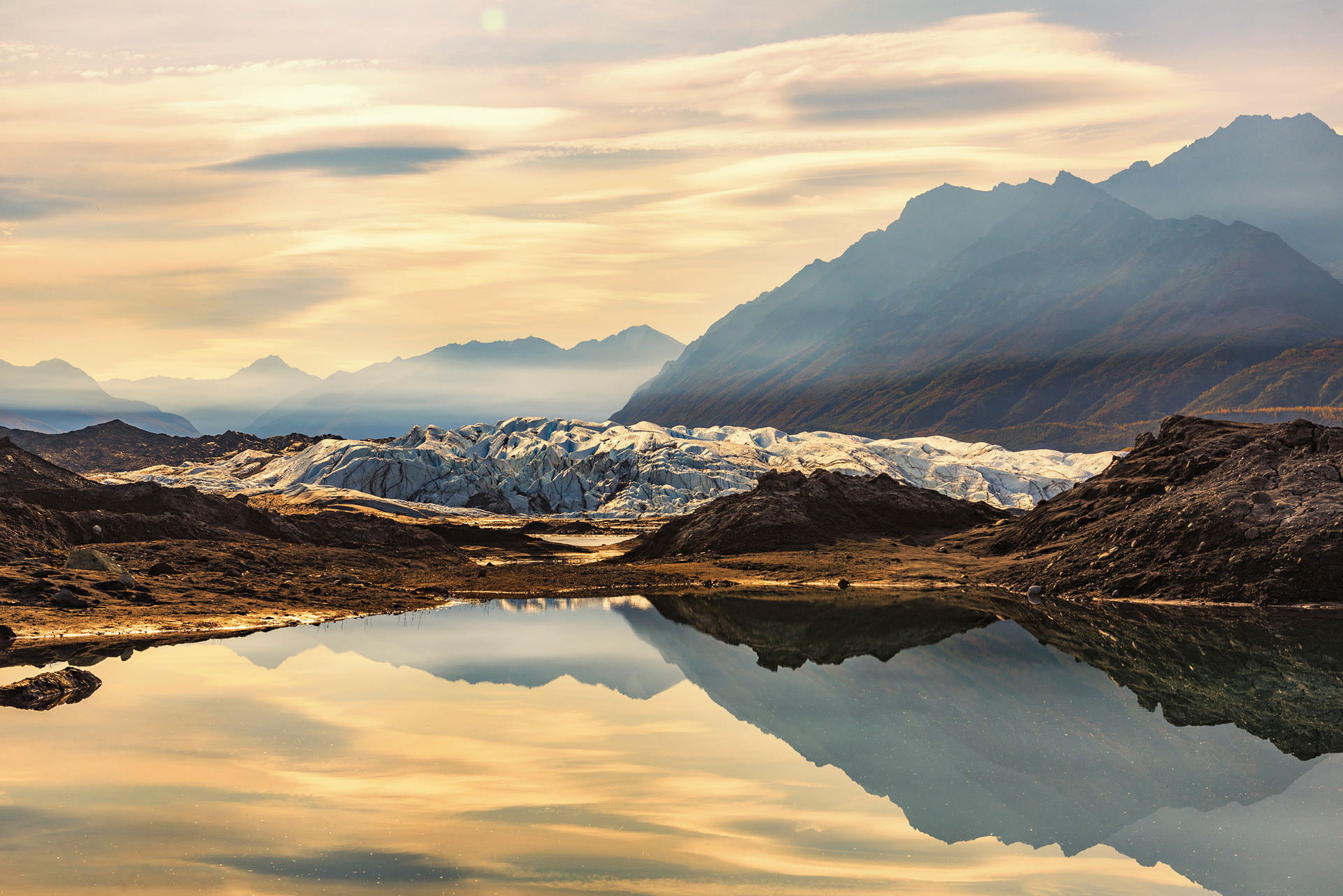
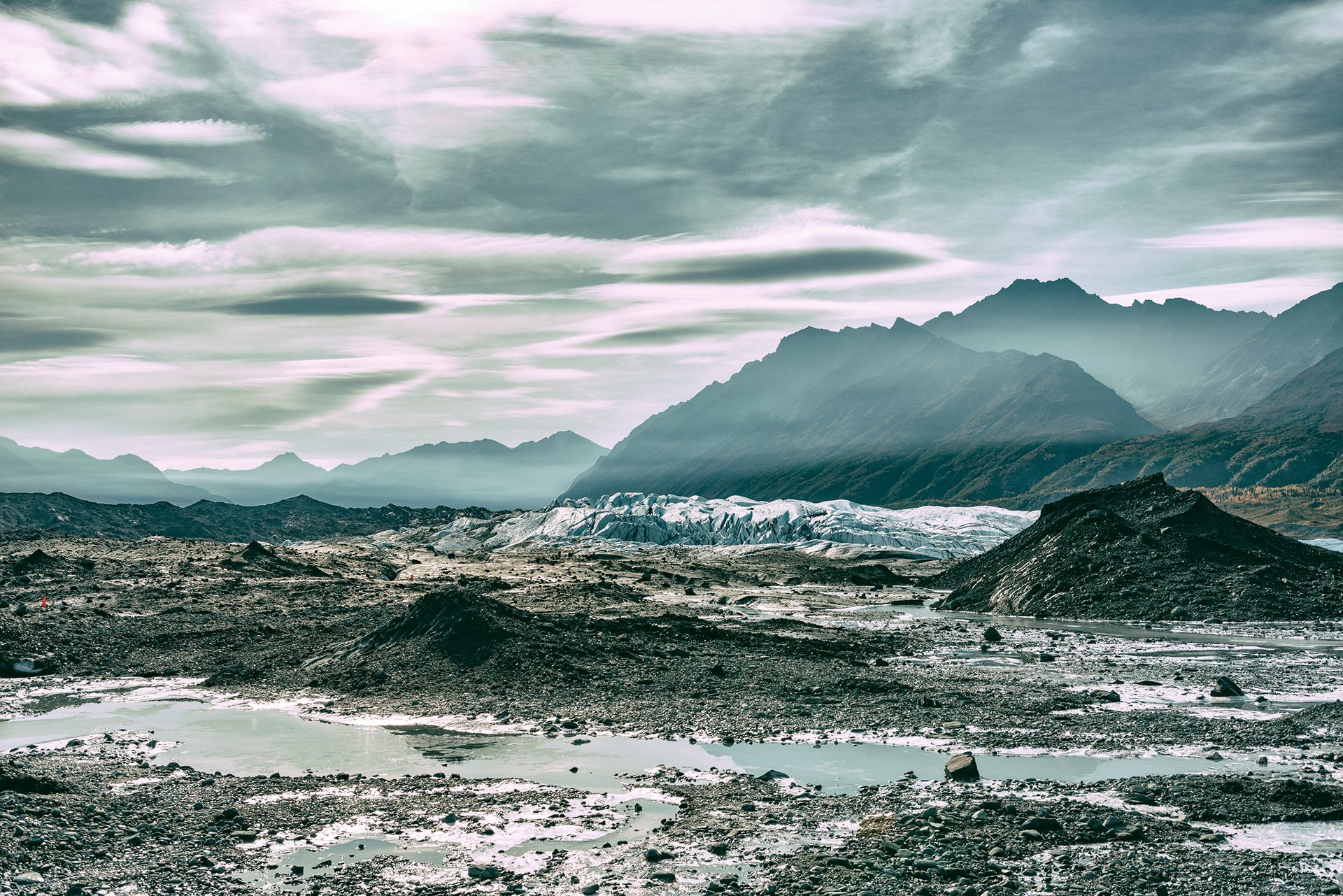
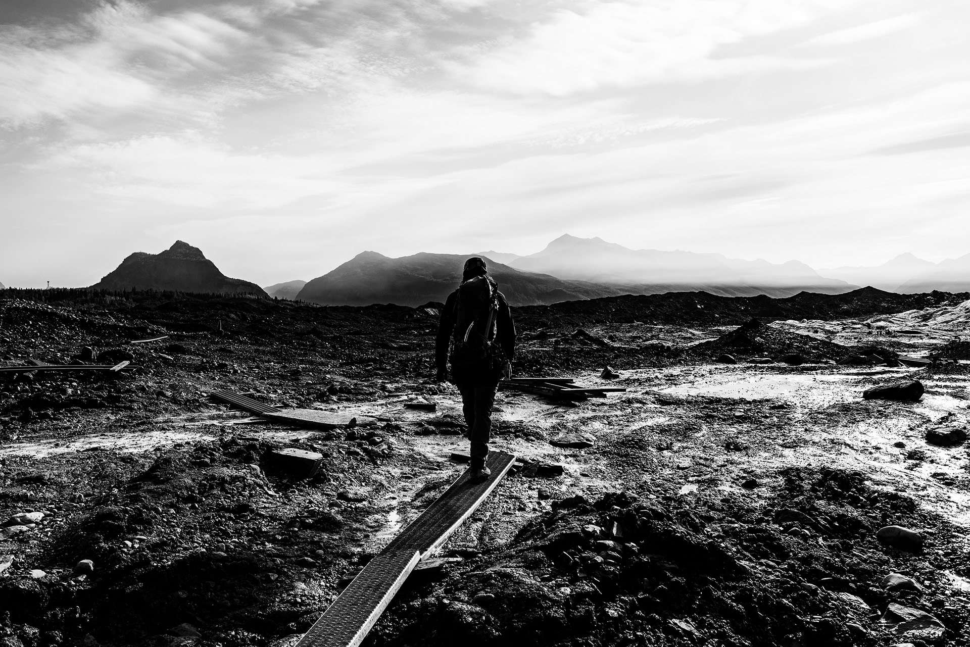
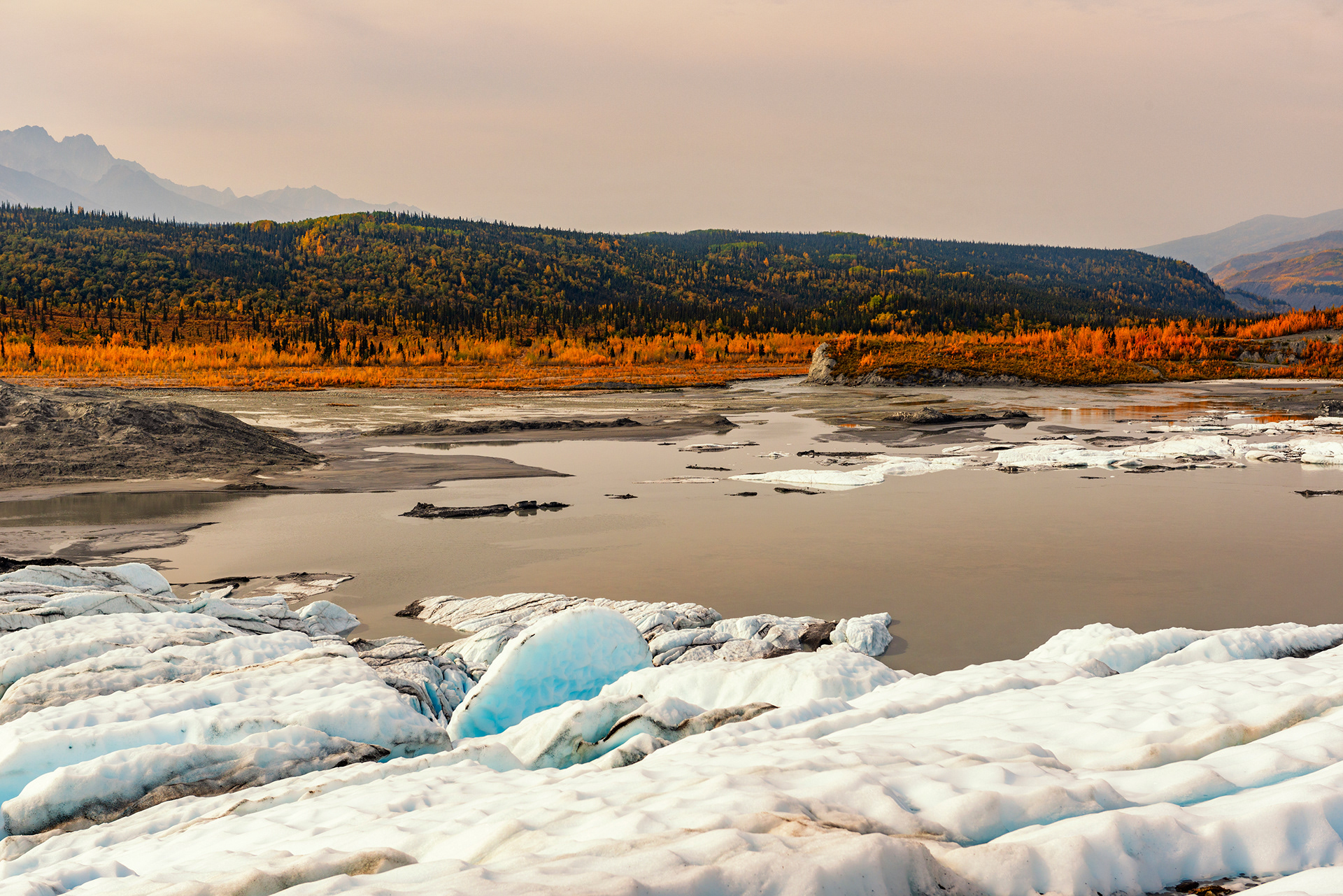
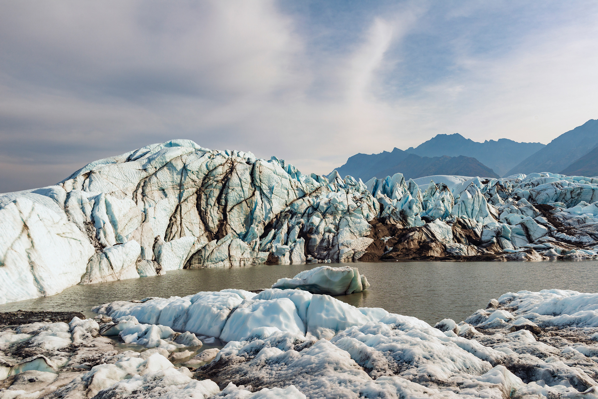
The Matanuska is a valley glacier, 27 miles long and four miles wide, sitting alongside the Glenn Highway about two hours northeast of Anchorage. Its meltwater forms the Matanuska River. It is the largest glacier in the United States you can drive to, and one of very few in Alaska you can walk on.
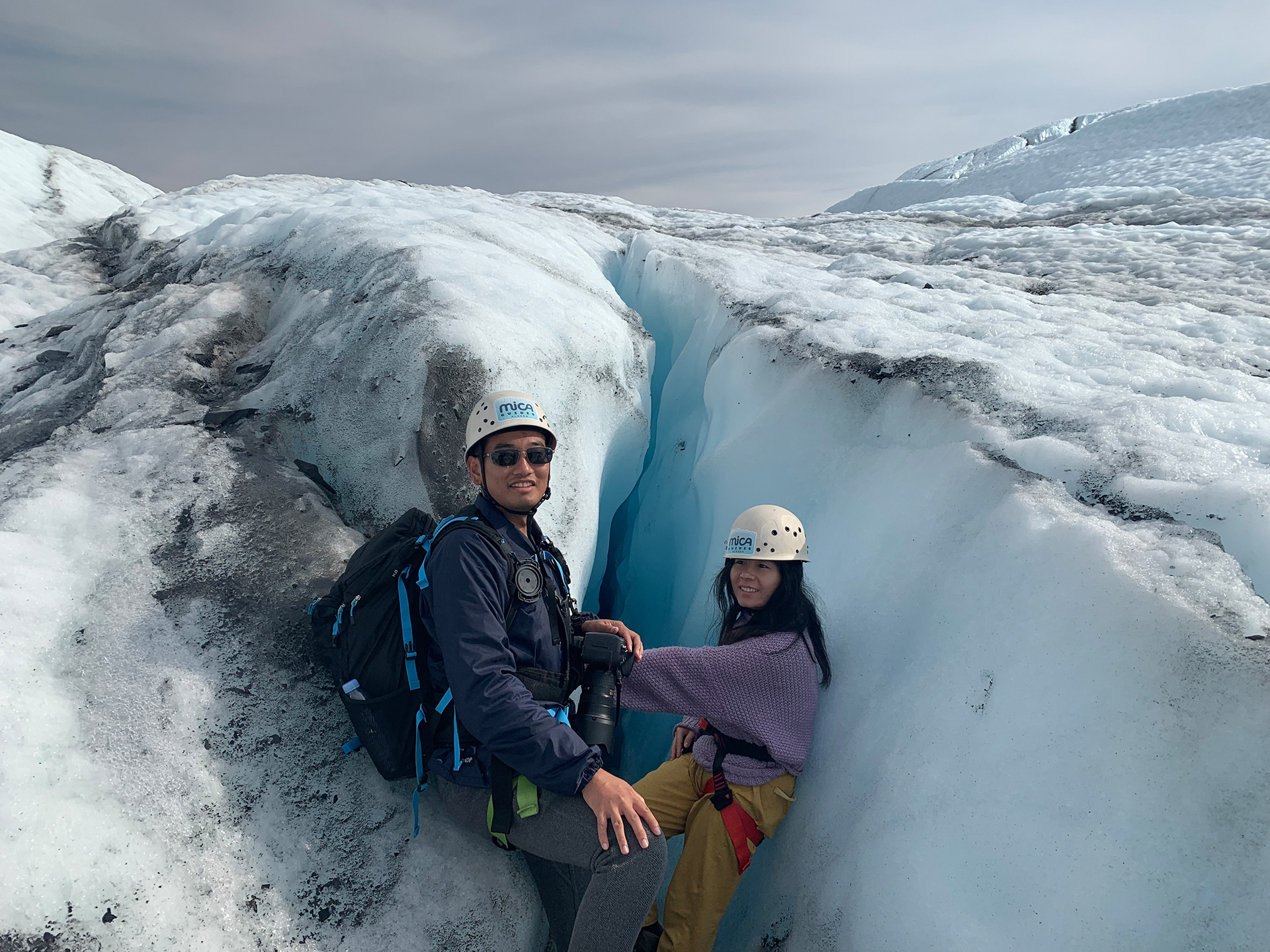
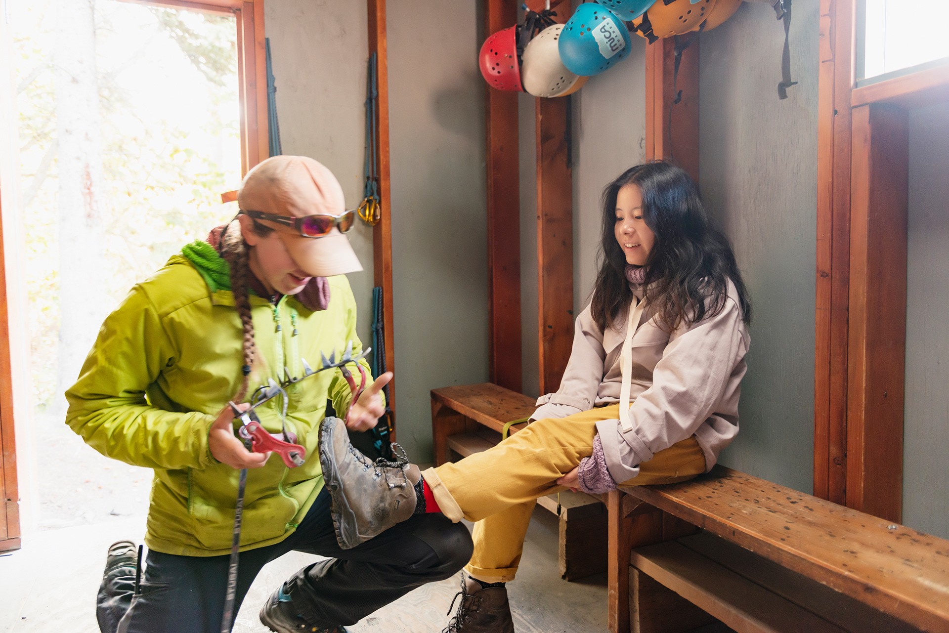
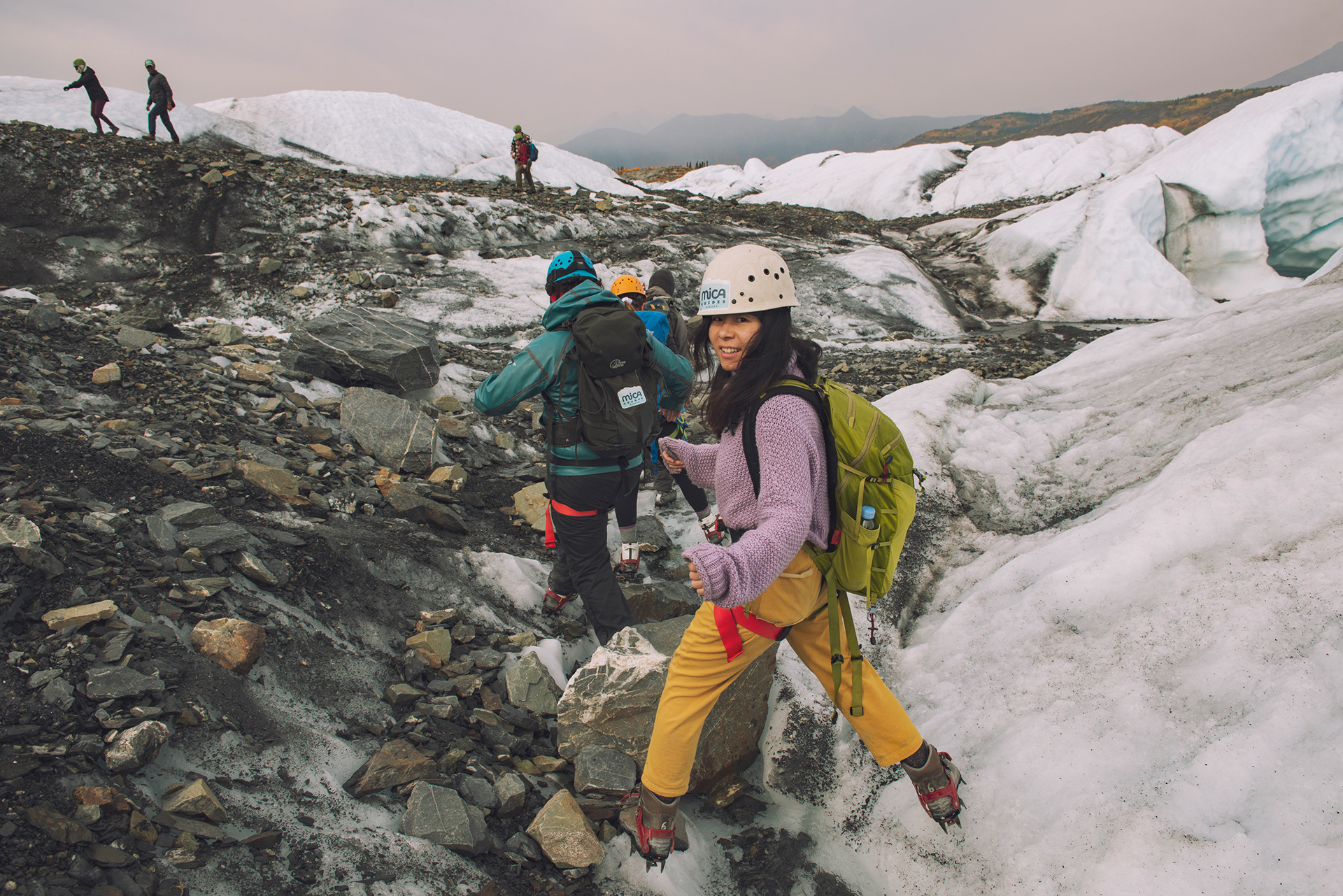
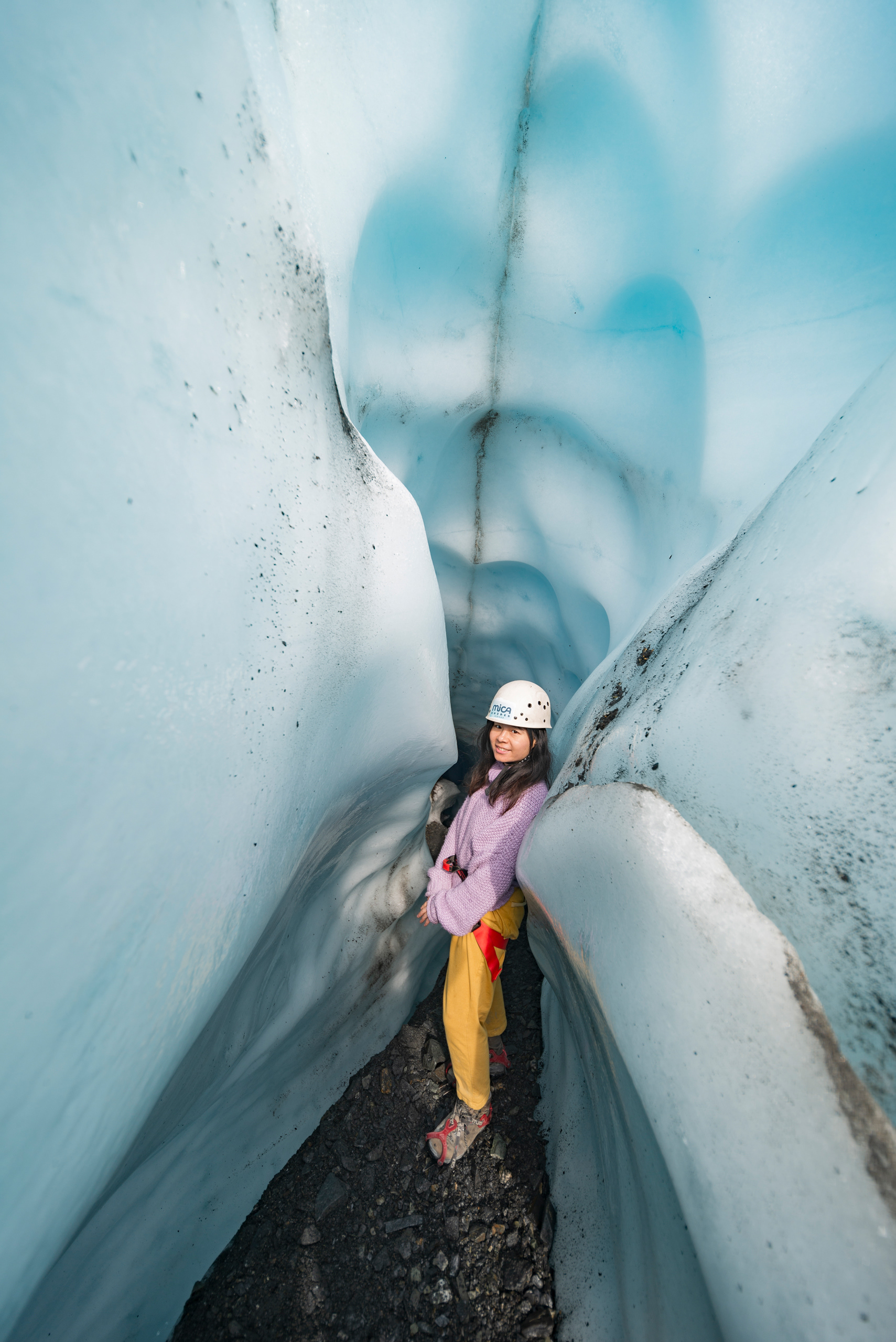
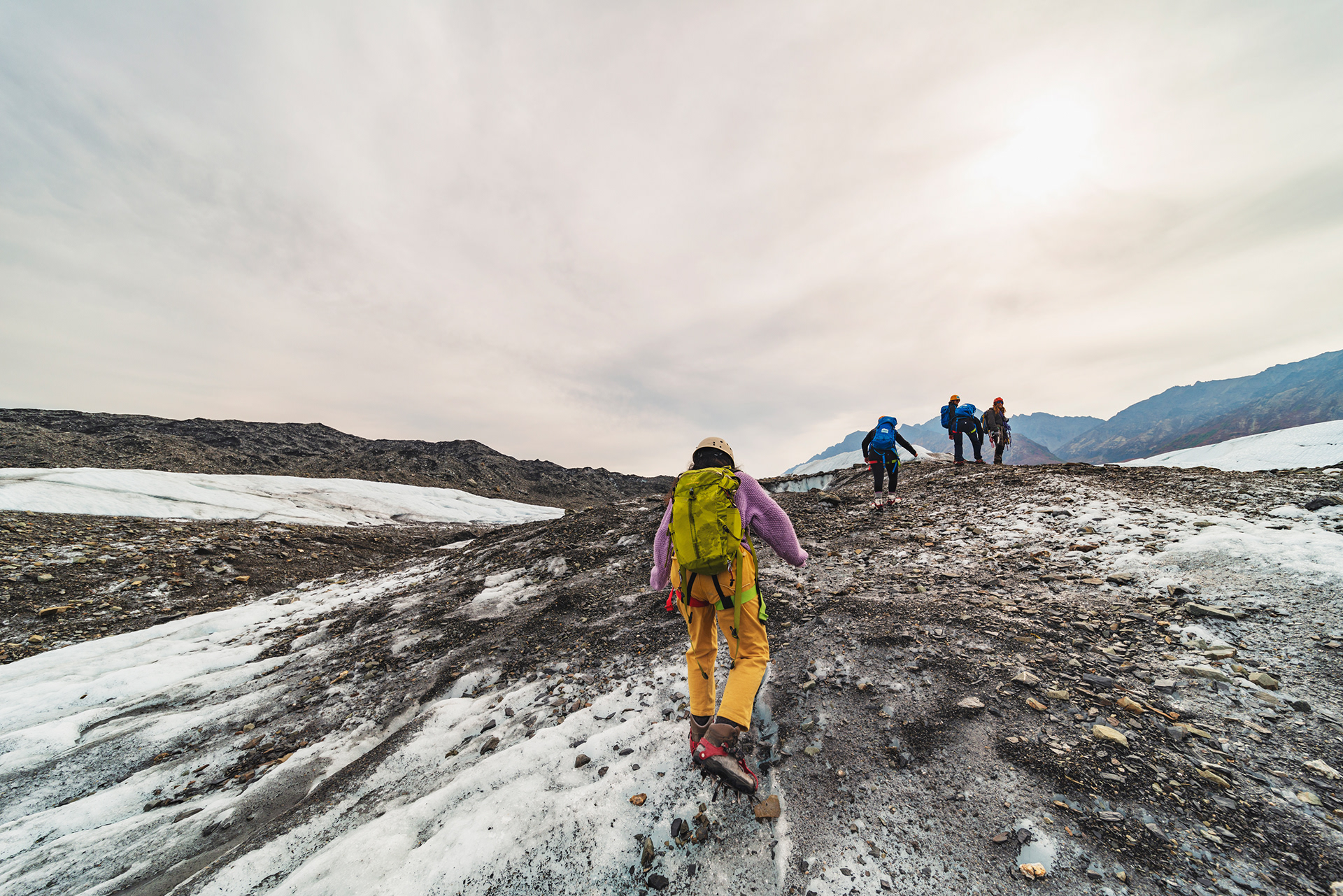
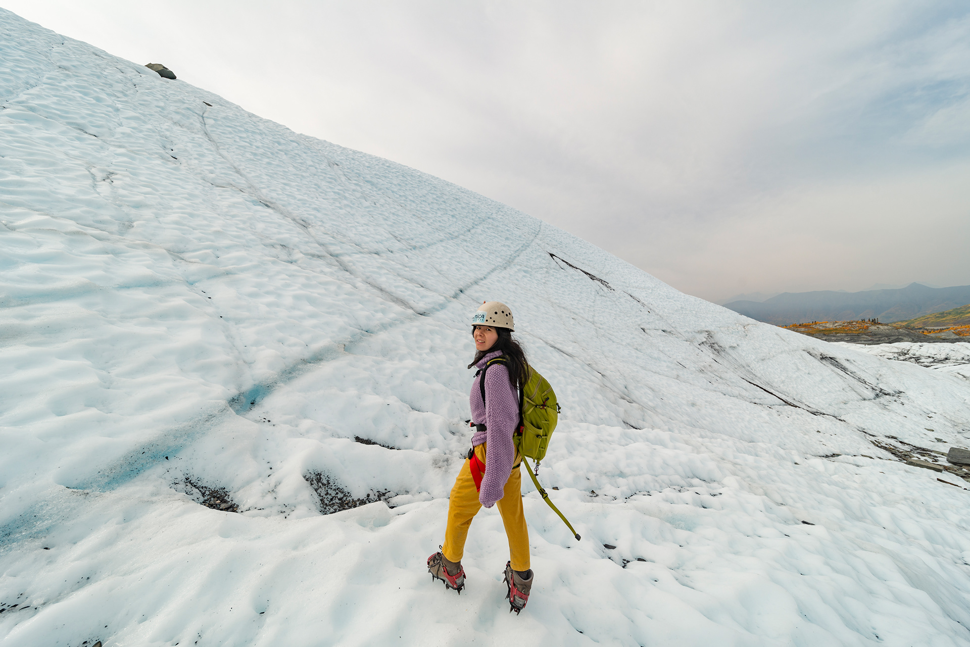
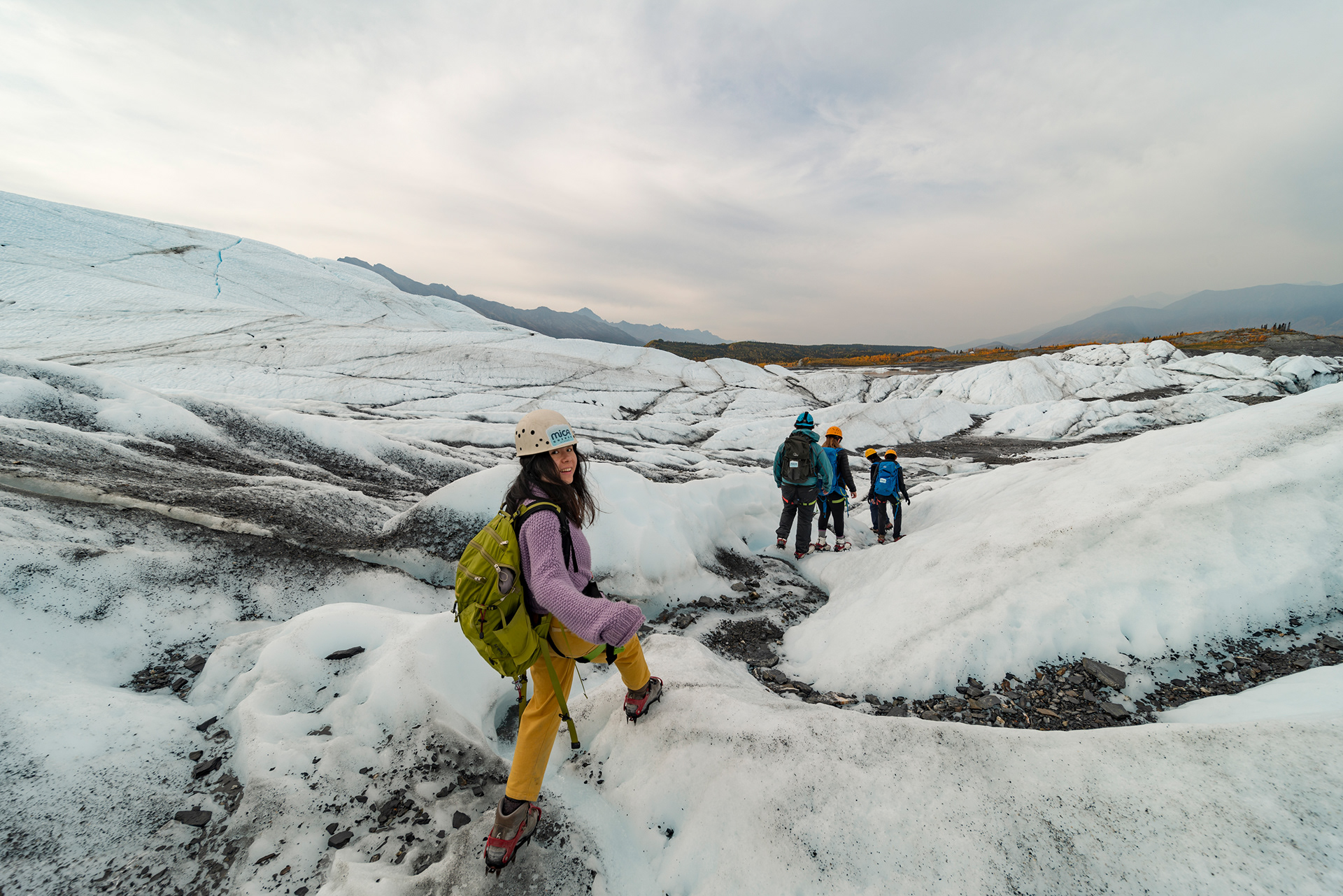
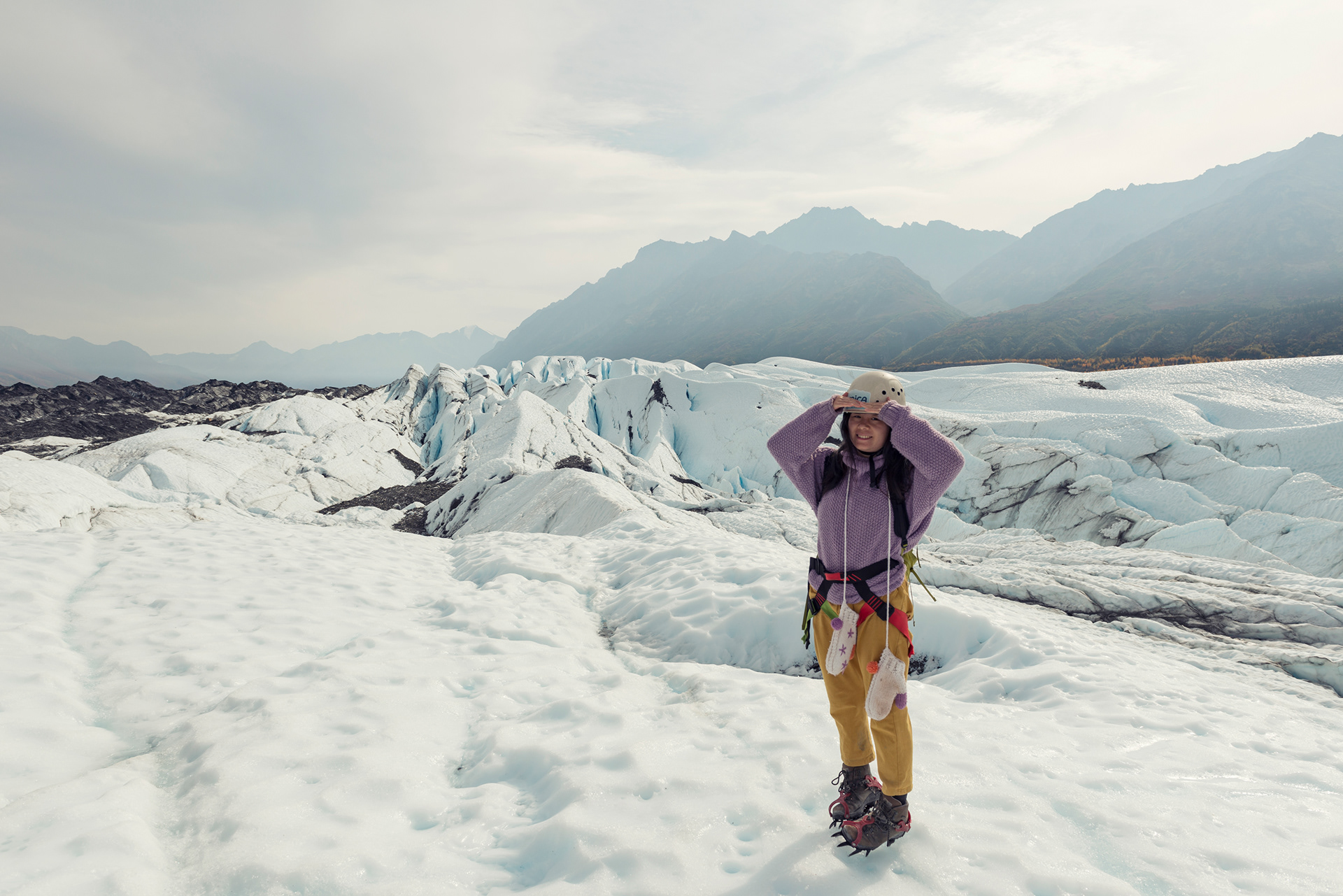
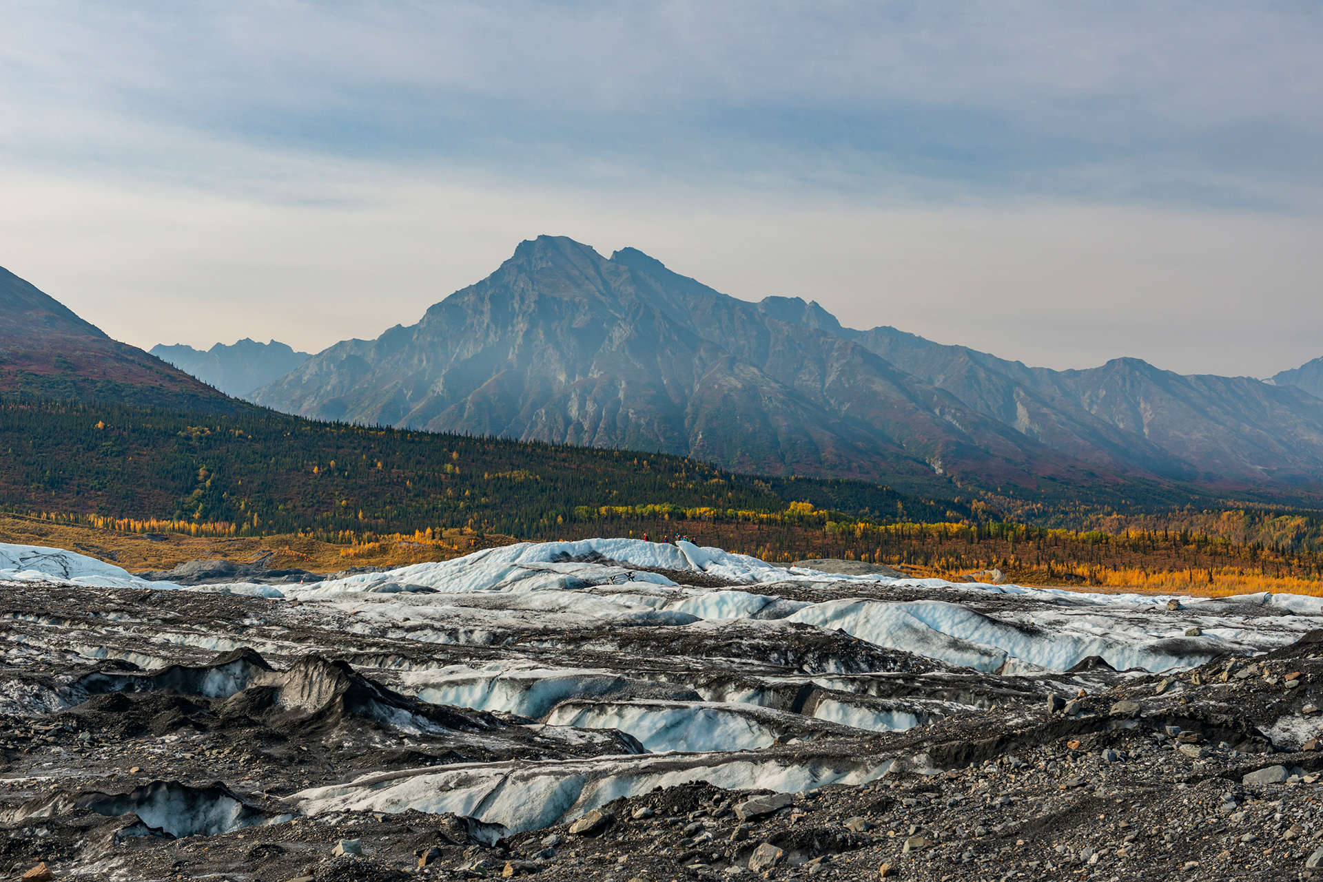
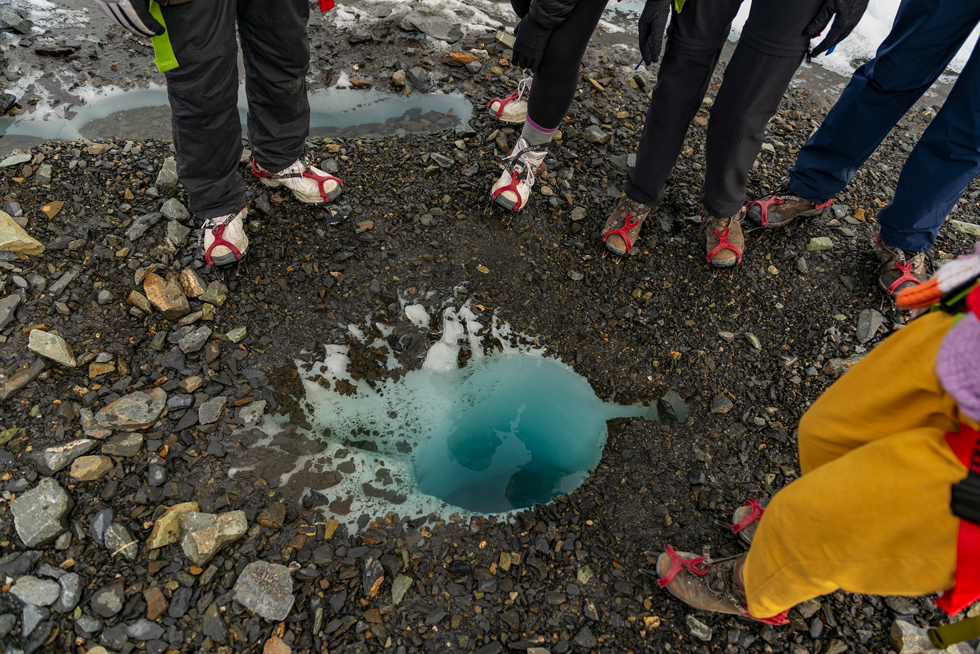
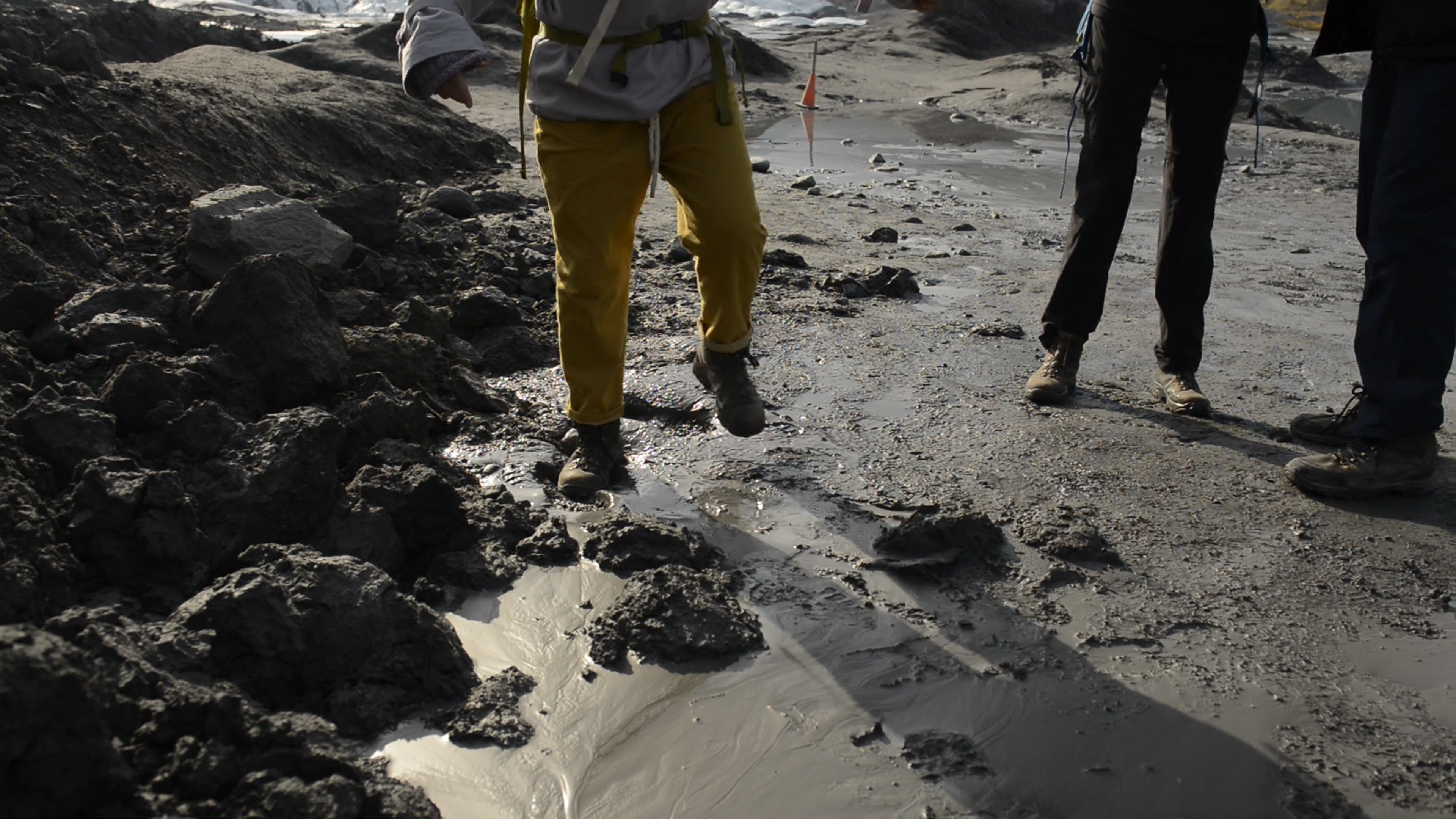
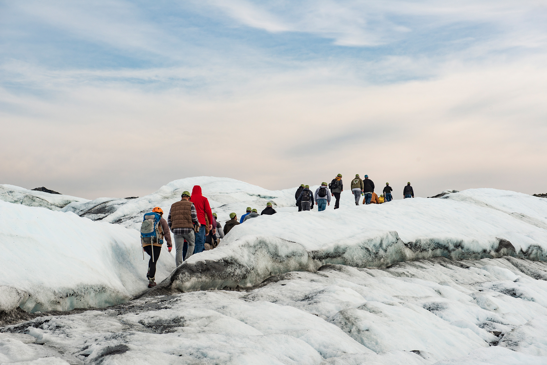
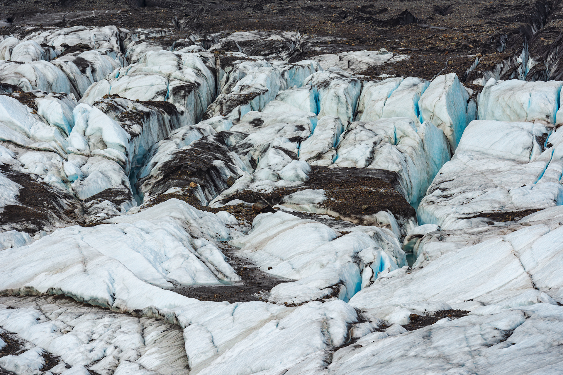
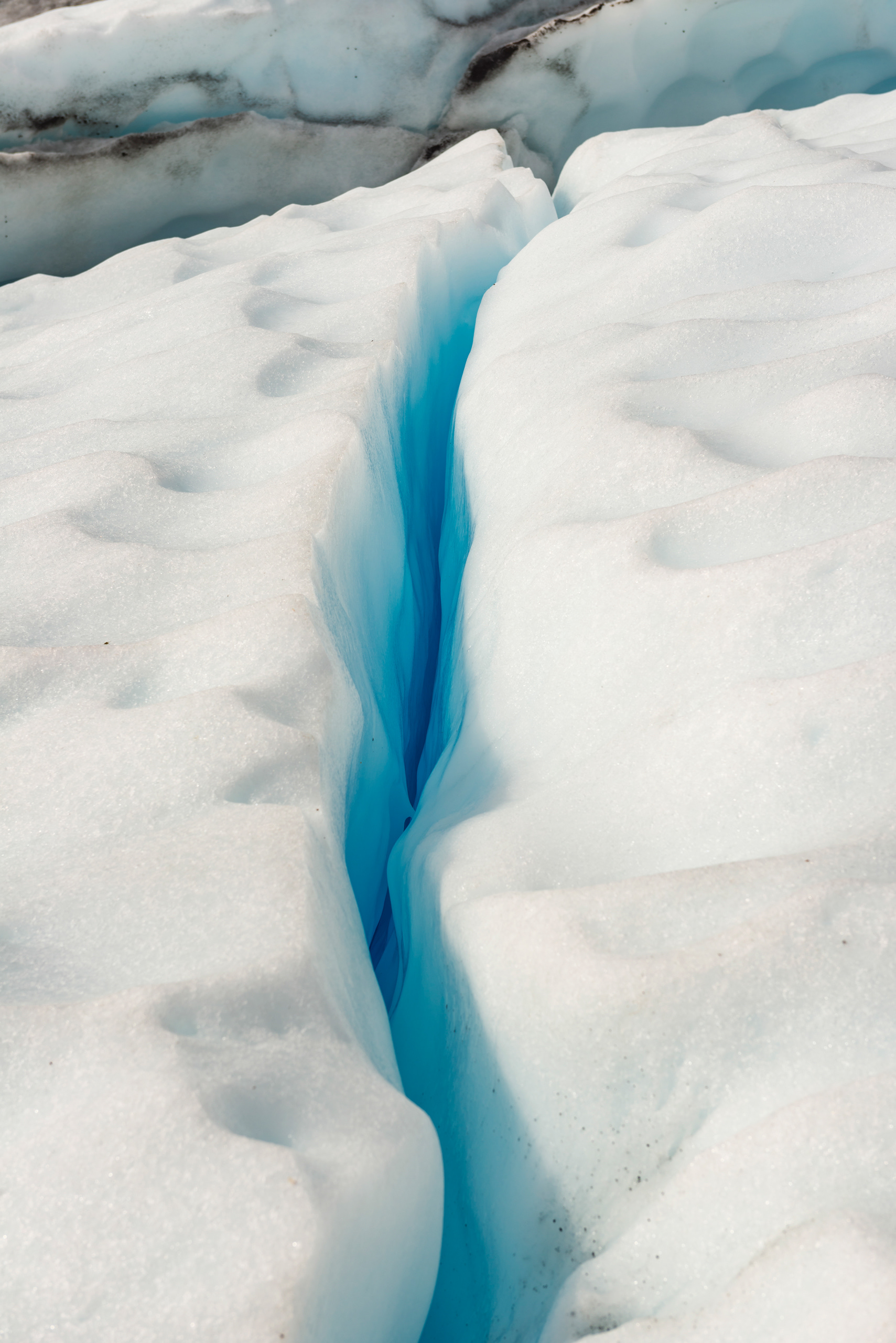
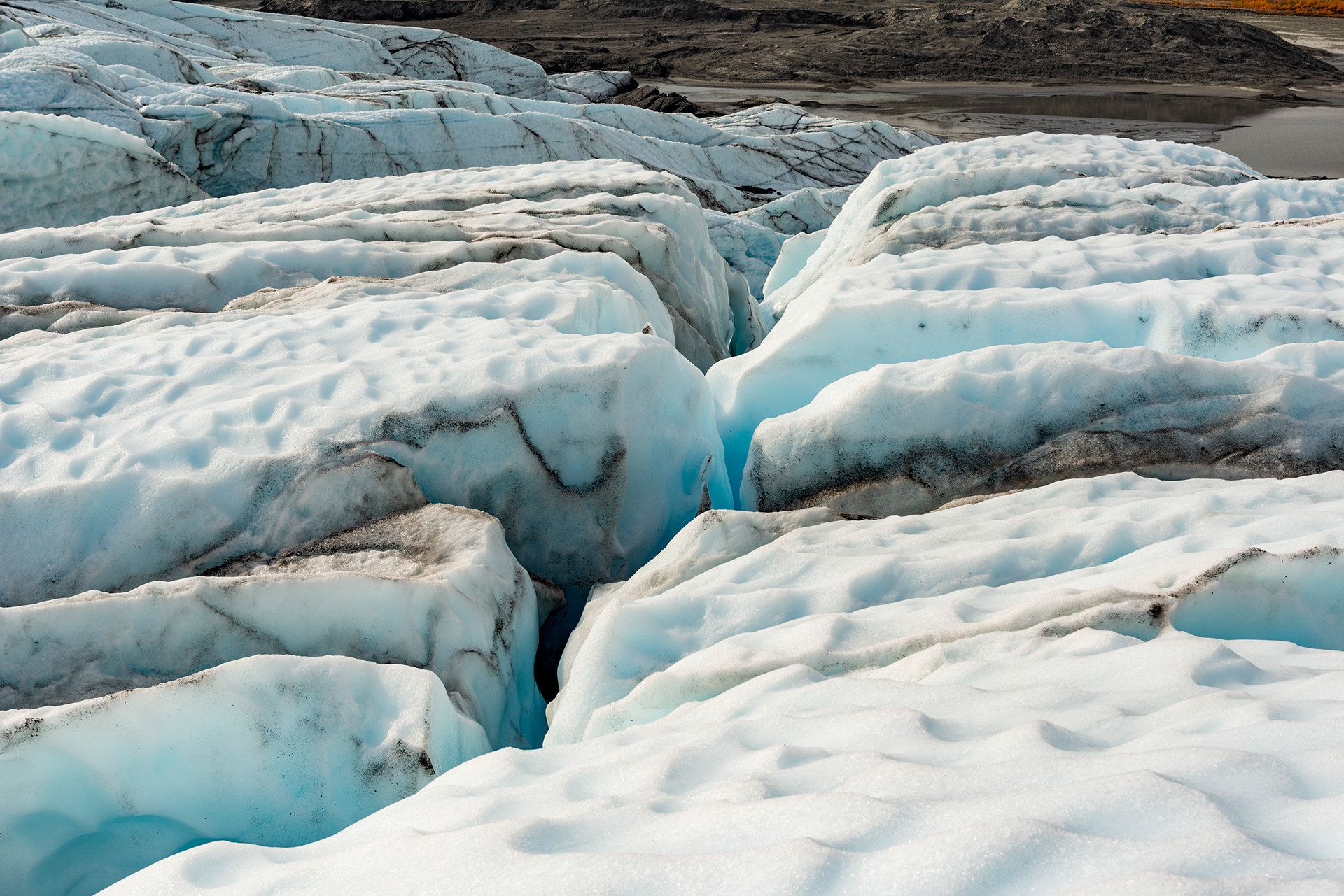
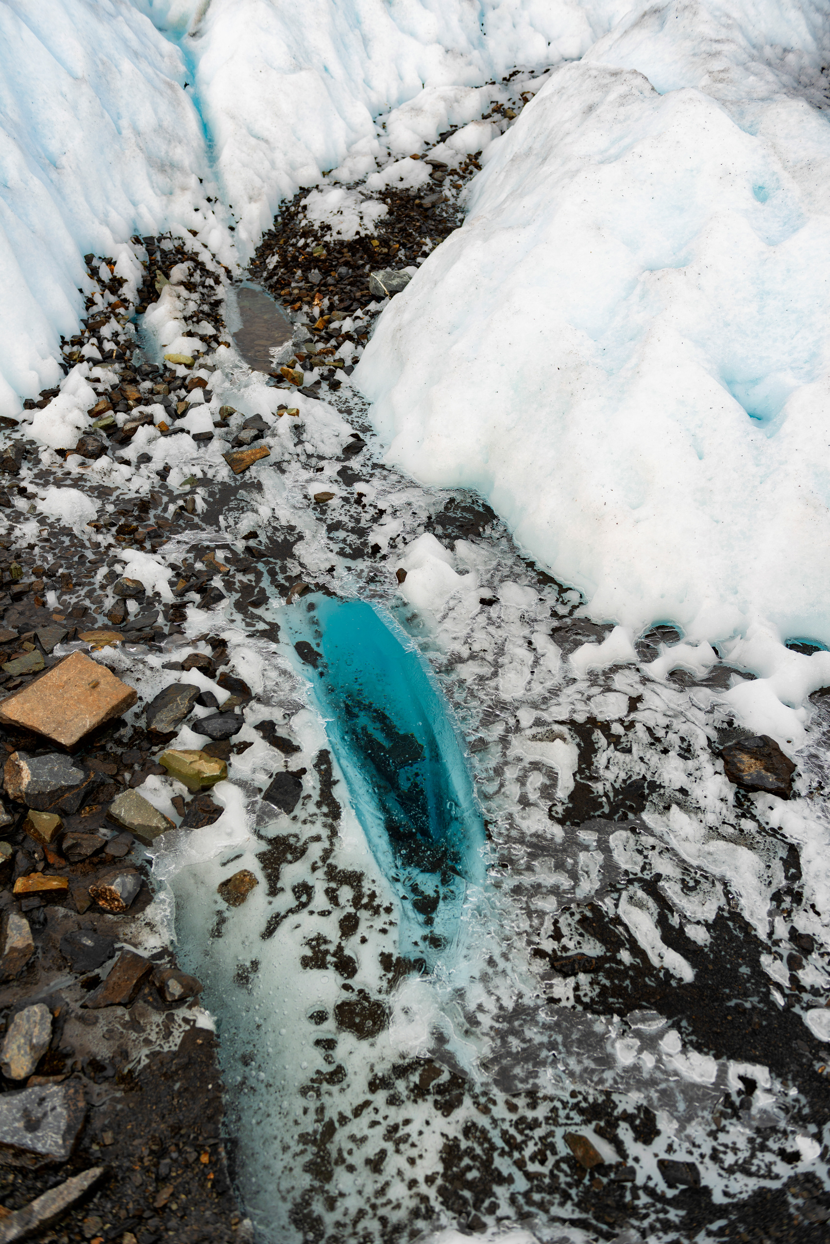
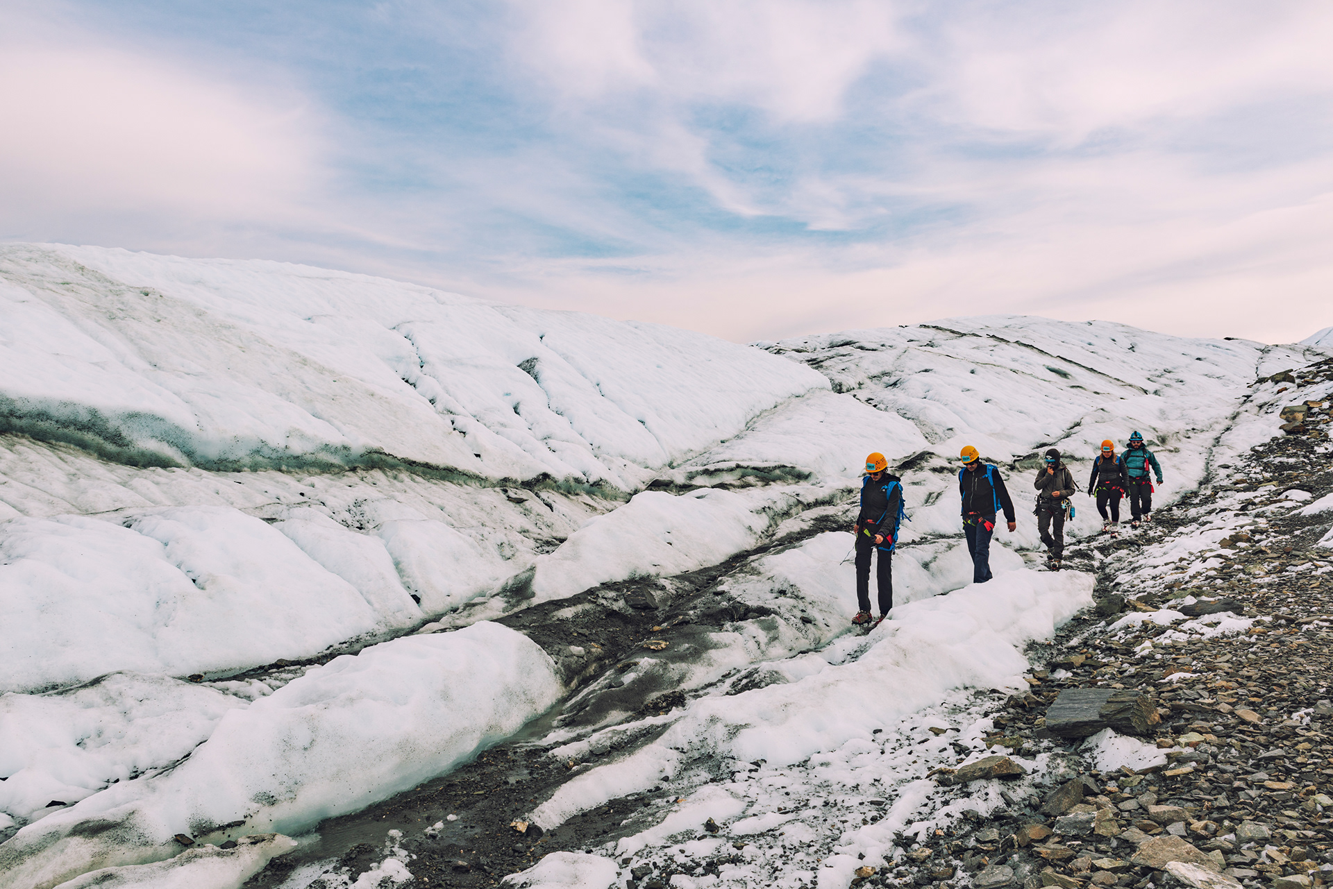
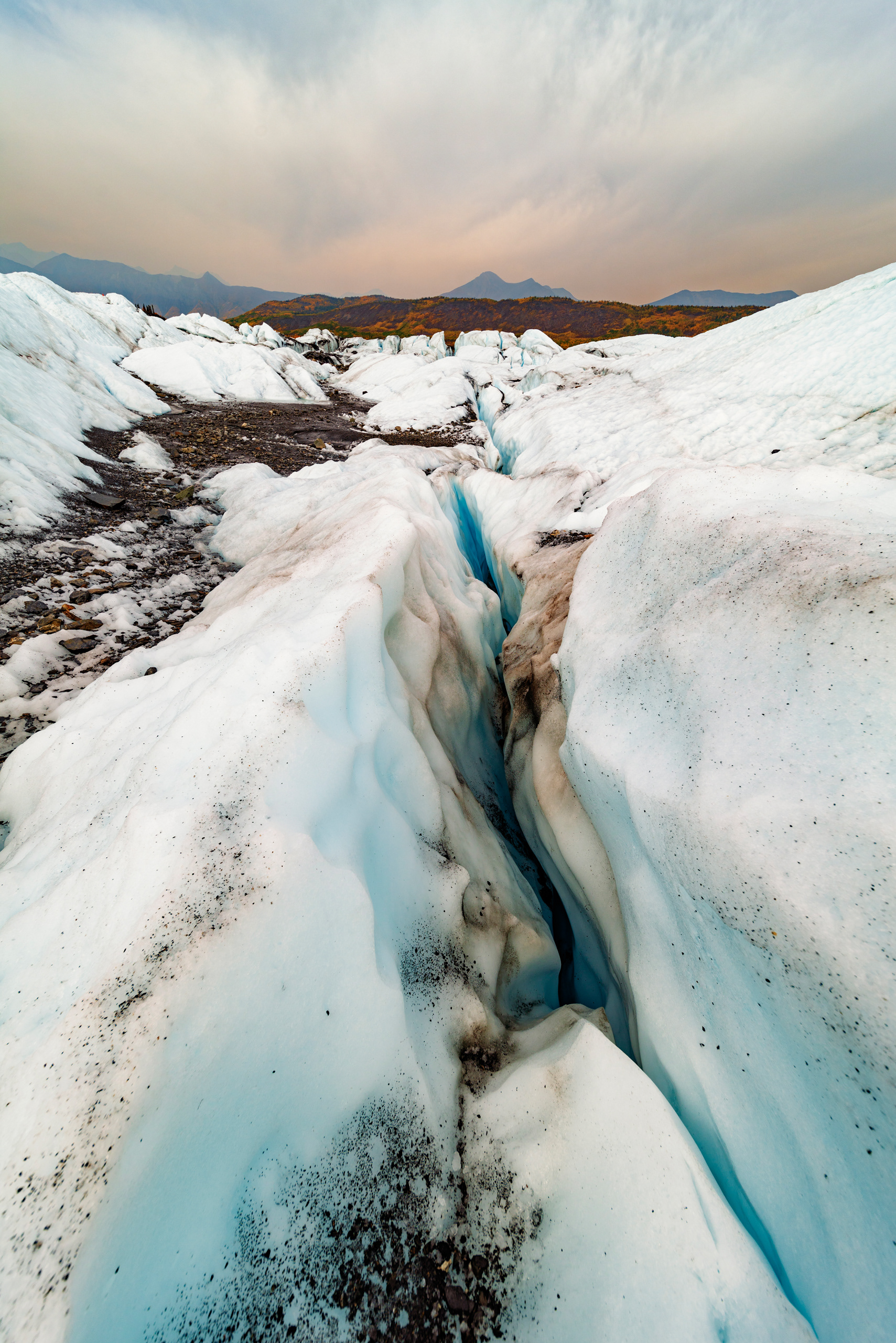
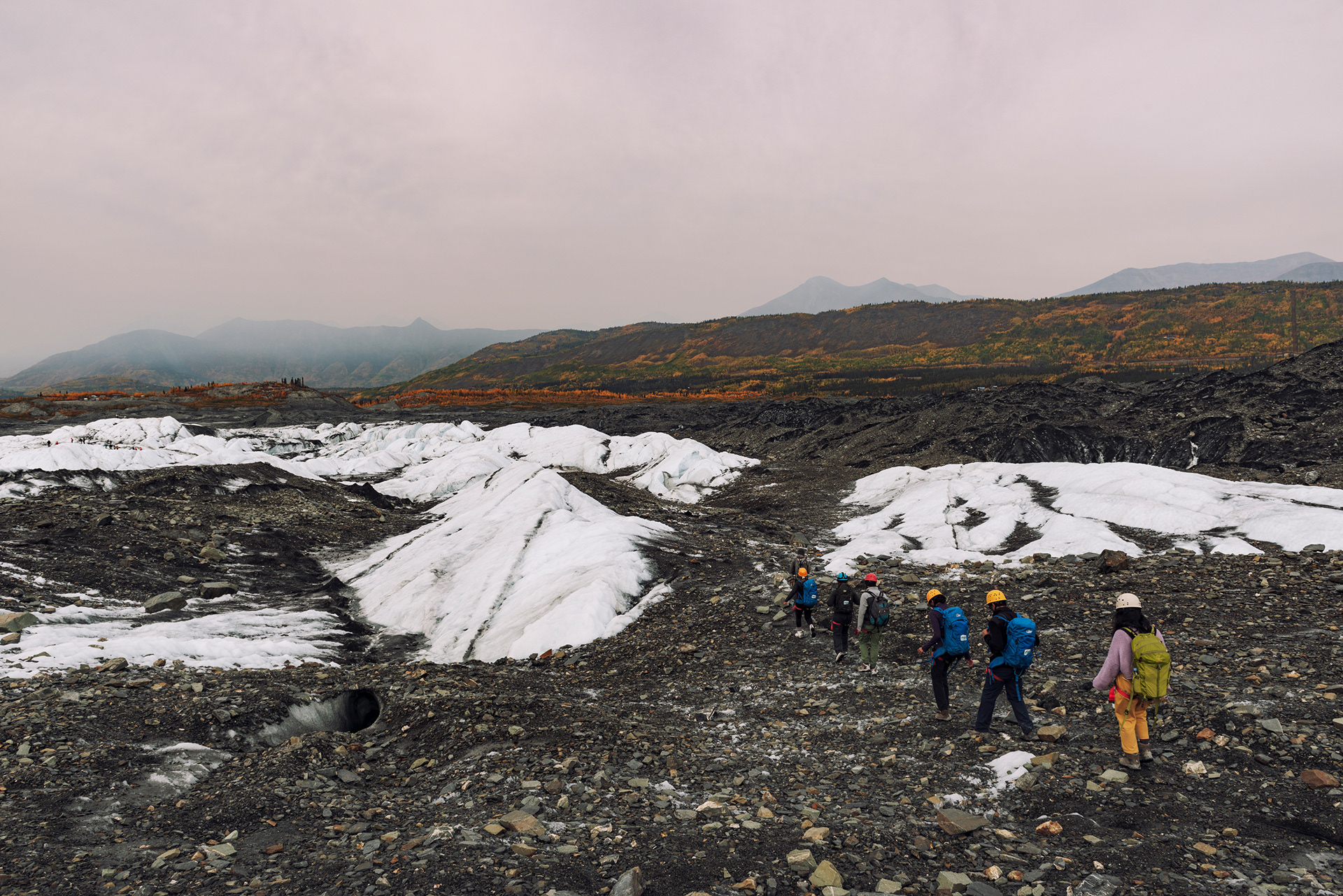
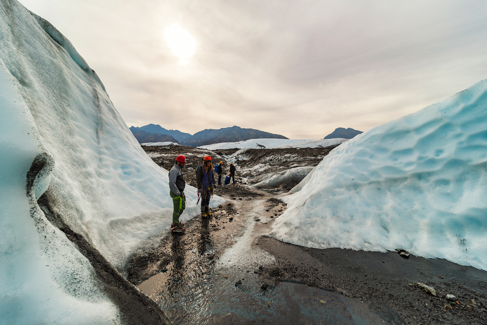
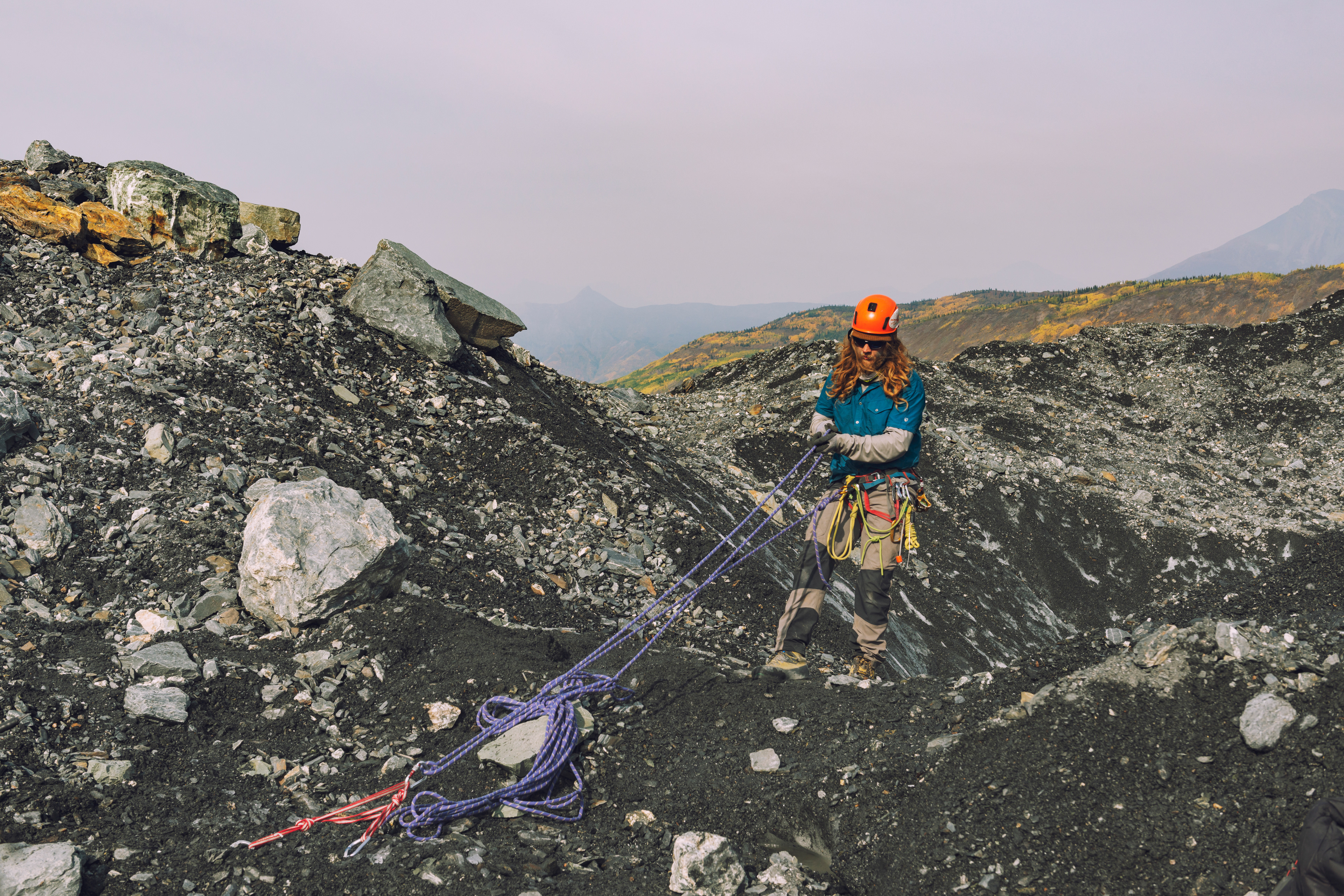
Although you can walk on it alone, we booked a guided trek instead, a full day with seven of us and two guides. It is much safer, and the guides know where the good parts are, which on a glacier is not something you can work out by looking. Ours were relentlessly cheerful and spent the day hunting for things to show us. That day happened to be my wife's thirtieth birthday, and this glacier trek is a perfect birthday gift for her. The walk starts at the terminus, where the ice ends and the outwash plain begins, and within a few hundred yards of that boundary the ground is green and alive. Then you put on crampons and step onto the ice, and everything is grey and white and, when you look into any crack in the surface, blue.
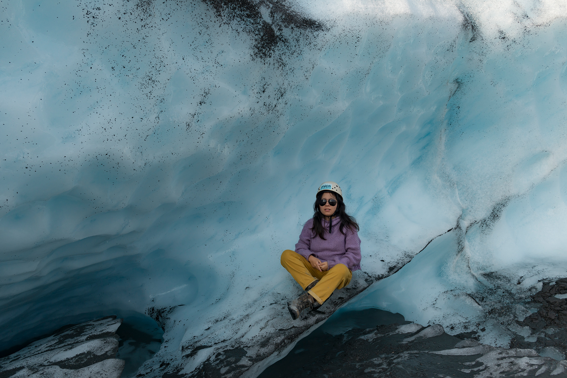
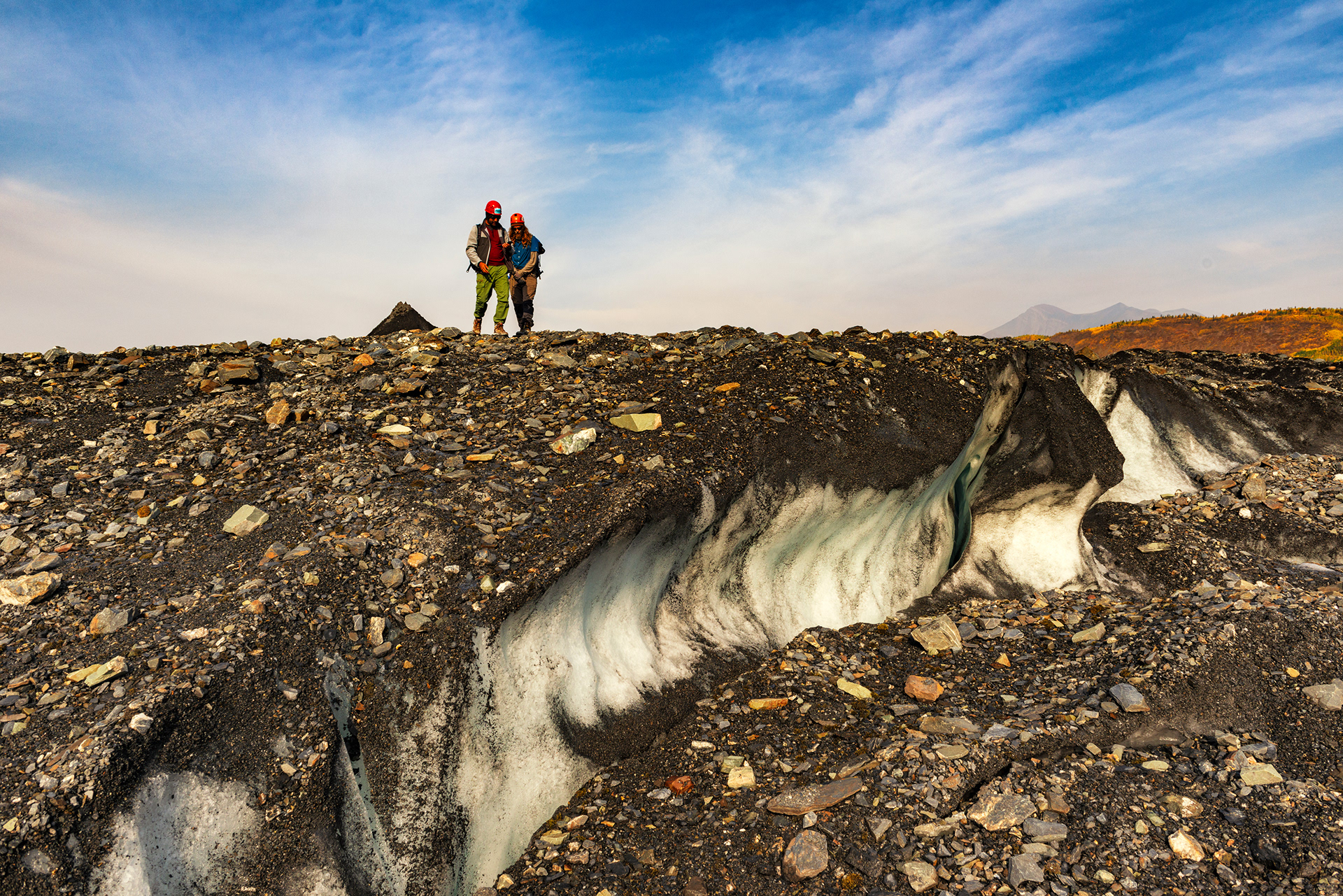
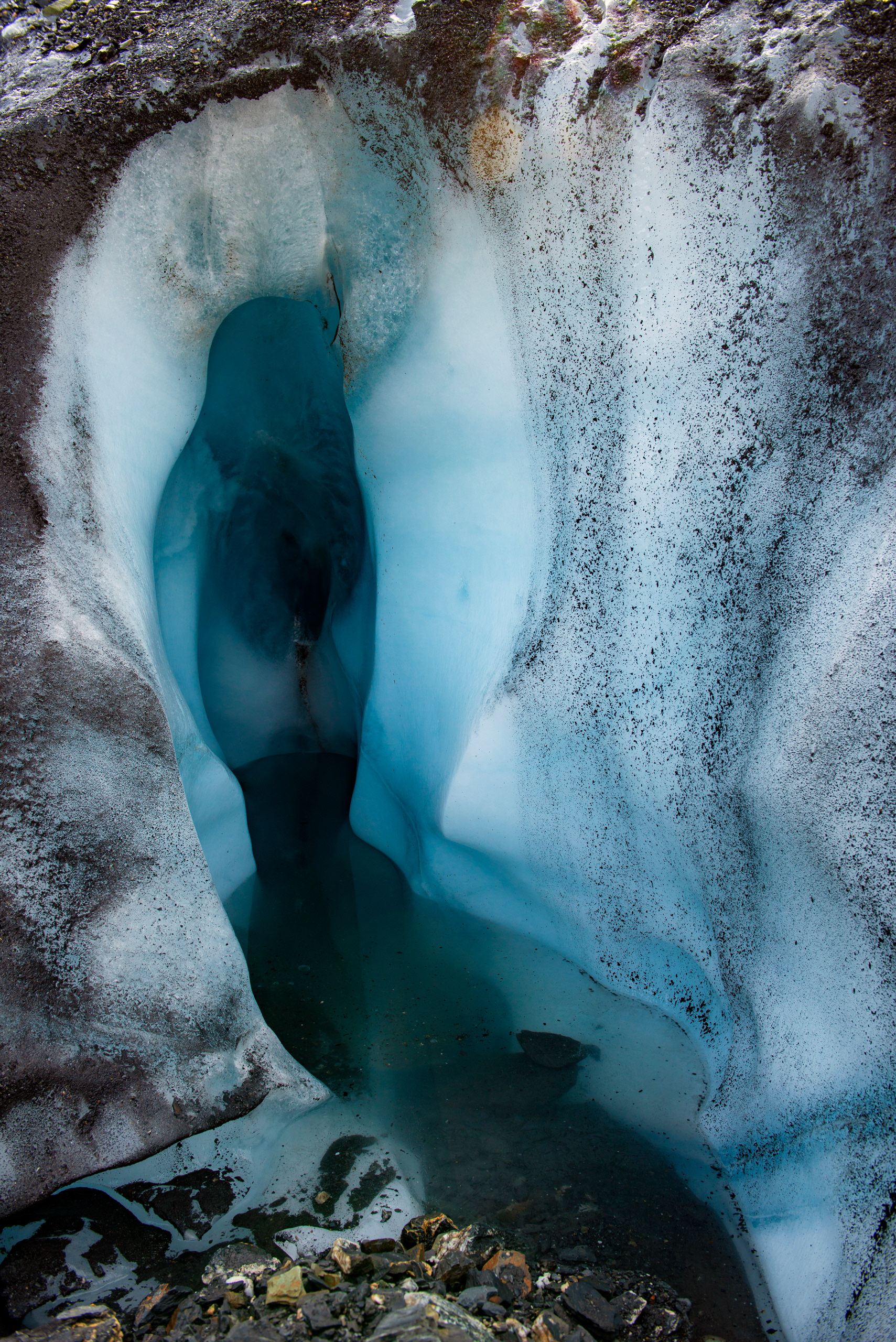
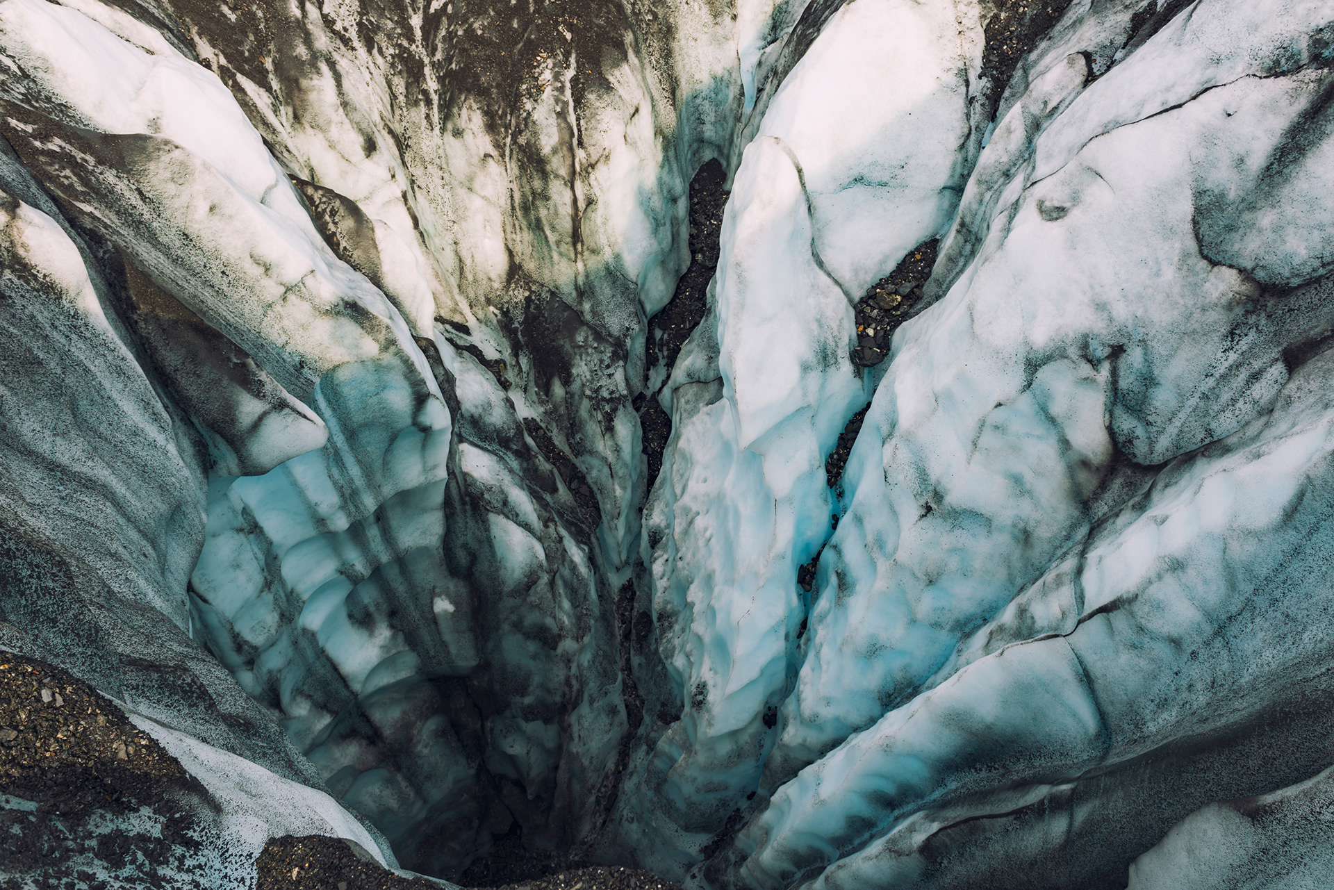
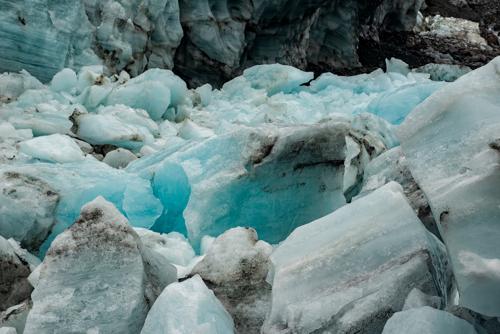
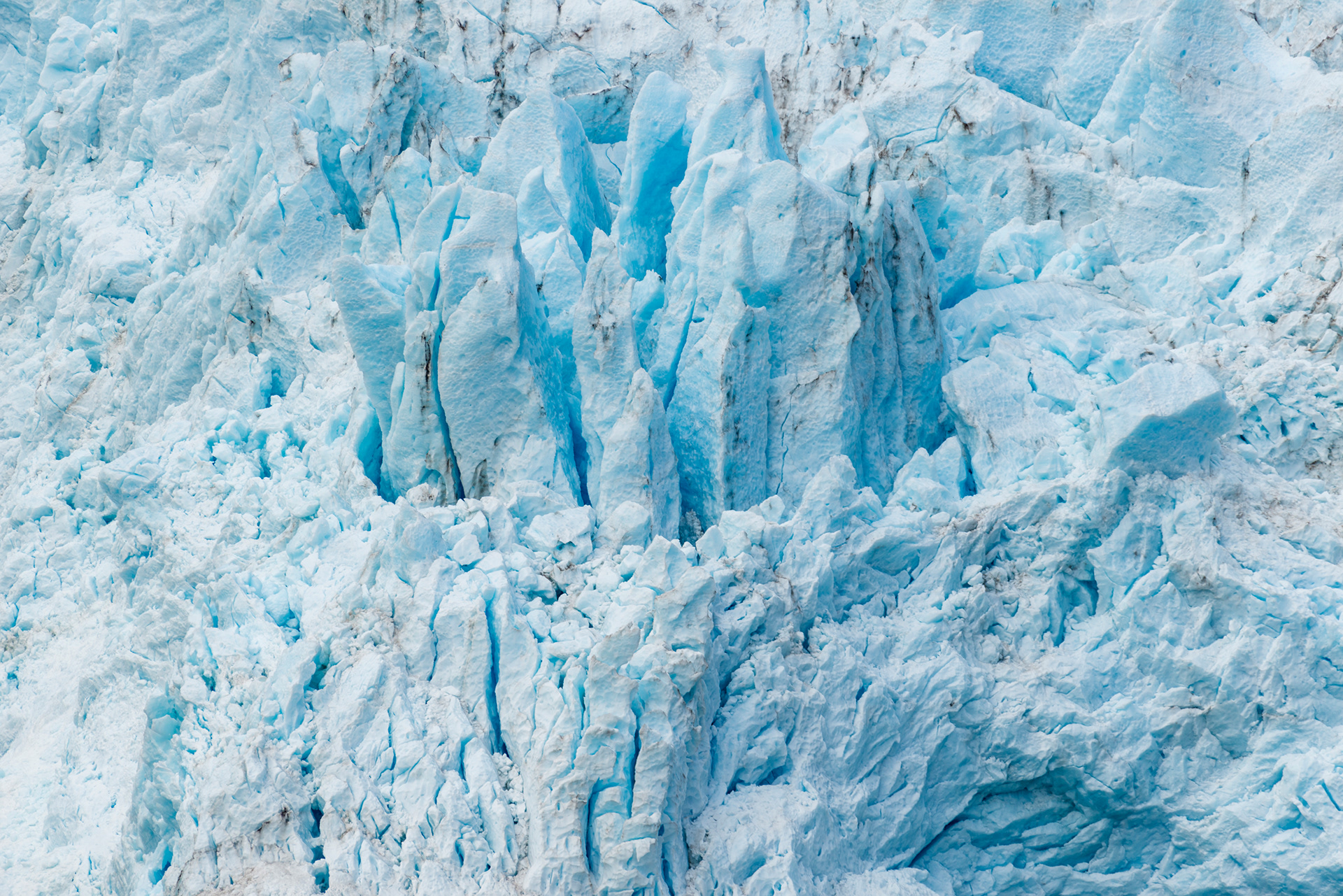
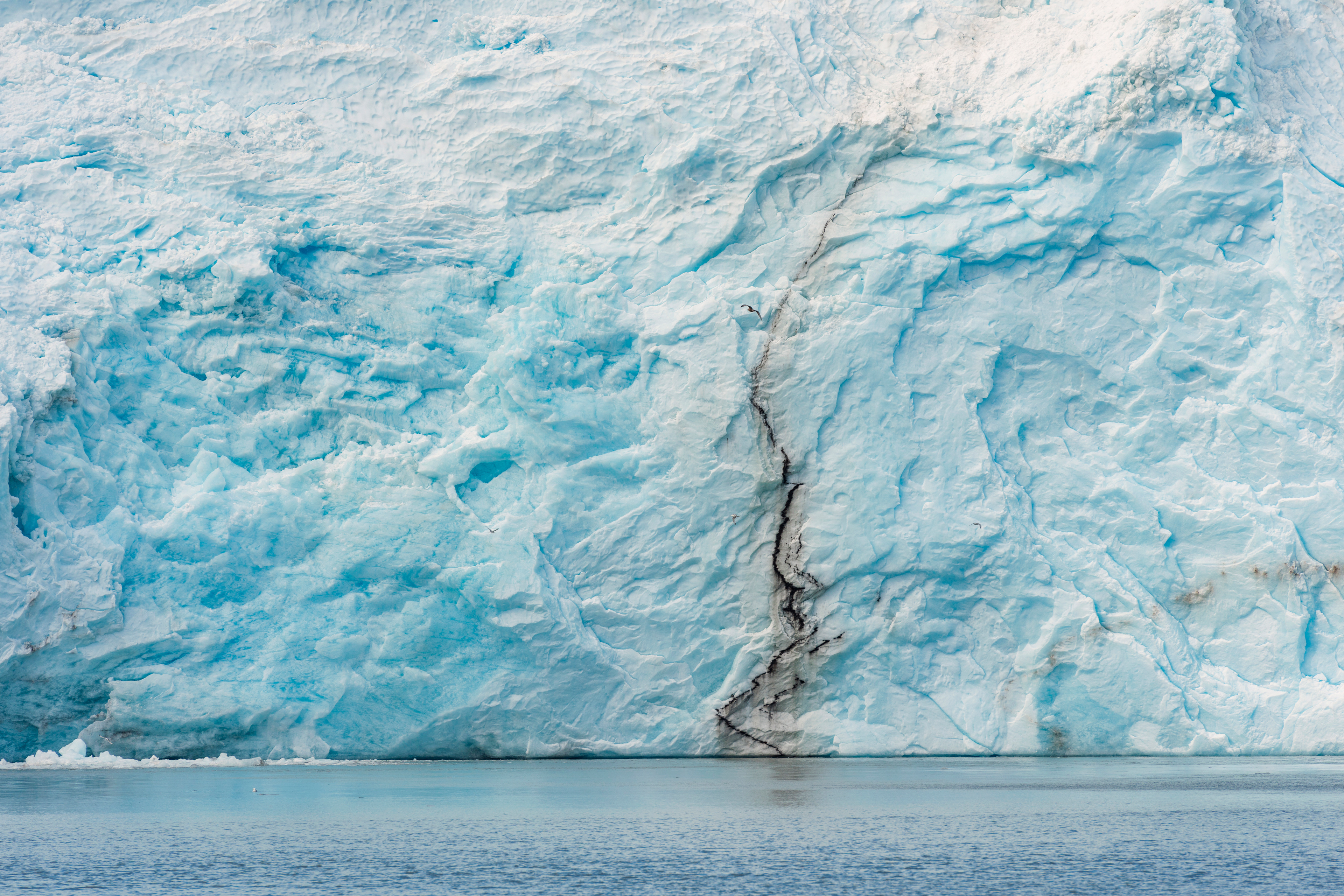
Why do glacier ice appears blue? Glacial ice absorbs the long wavelengths of sunlight, the reds and yellows, and scatters the short ones. The further light travels through the ice before it comes back out, the more red has been removed and the bluer what remains. That is why a crevasse grades from white at the lip to a deep saturated blue at the bottom, and why the color seems to come from inside the ice rather than off it.
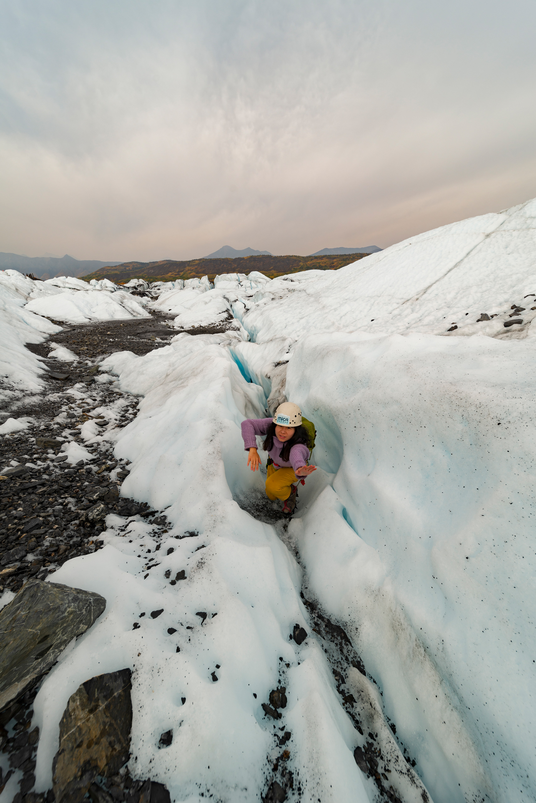
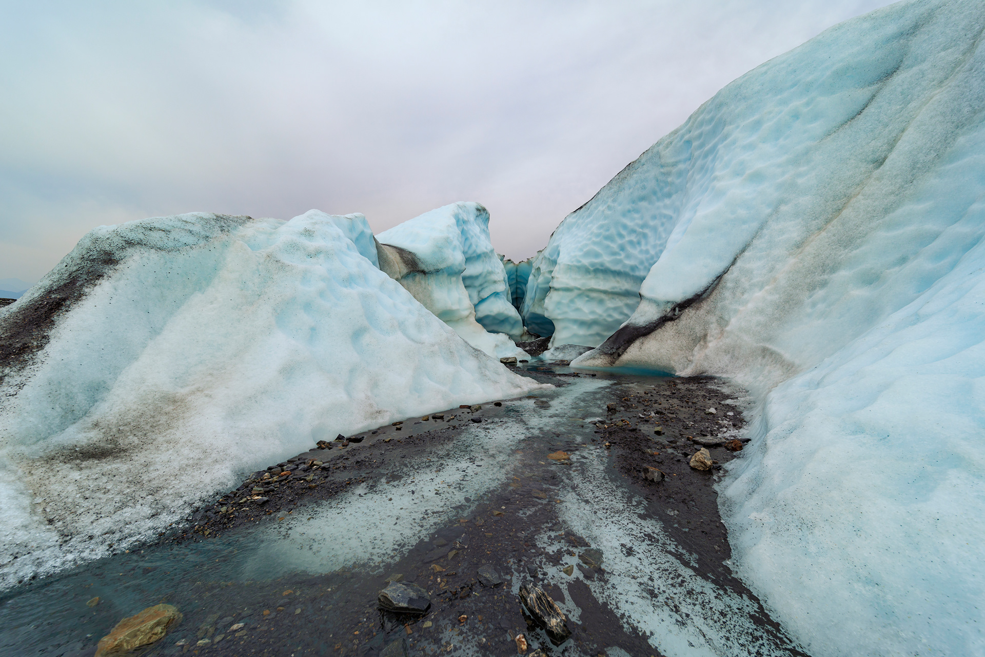
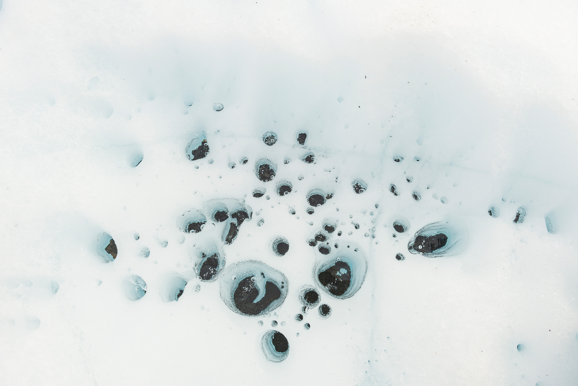
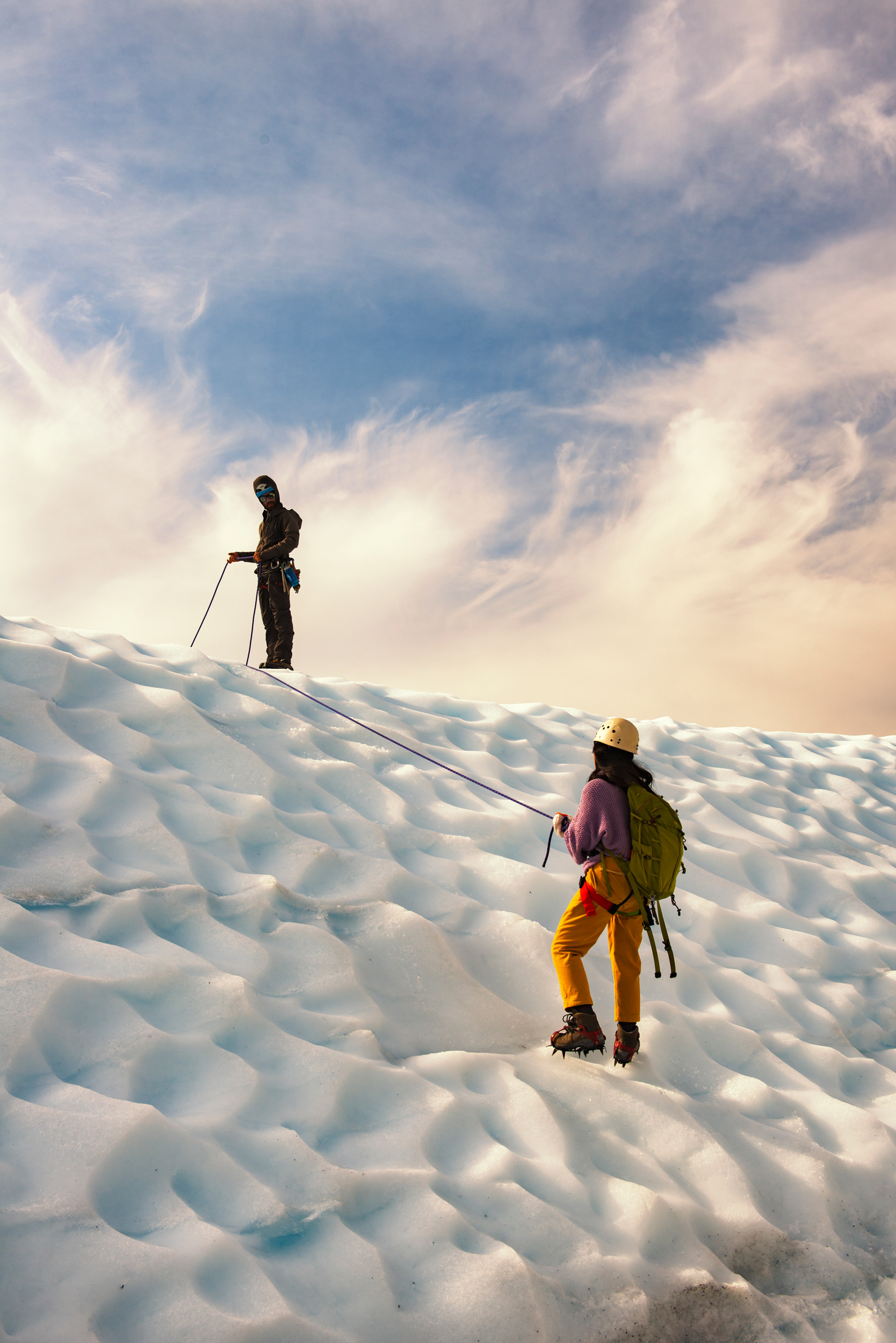
The guides set up two things for us during the day. The first was a rope anchored at the edge of a deep crevasse, so we could lean out over it and look straight down. My wife is afraid of heights and did it anyway, with her eyes shut for part of it. The second, at the end, was a short steep slope we climbed from the back and came down the front of on a rope. Neither was technical. Both felt like more than they were, which is the point. In between we found the things you cannot plan for. A slot canyon of pure glacial ice, S-shaped, narrow enough to touch both walls, where we stayed much longer than the schedule allowed. Meltwater running clear and very cold. Air bubbles suspended in the ice in columns. Two small ice lakes that stopped the whole group. A thin blade of ice that had weathered into the shape of a fan.
My wife had hoped to see an ice cave however it is very unpredictable, especially in September. The summer melt has drained the good ones and glacier movement makes any of them unreliable, and we found only a few small ones, one of which went back further than a headlamp could follow. Partial credit. The fog came in during the afternoon and made everything closer and stranger, and we came off the ice tired in the specific way that uneven ground makes you tired.
One (unfortunate) thing to know: most of Alaska's glaciers are retreating. Retreat does not mean the ice flows backward. It means the ice is melting at the terminus faster than the glacier can push new ice forward, so the end of it moves uphill. Portage Glacier used to be visible from the road. Now you have to hike to see it. That is the direction all of this is going, and it is the practical argument for going sooner rather than later.









The Glenn and Richardson Highways
The drive from the Matanuska to Valdez covers two highways and most of a day, and it would be worth doing even with no glacier at either end.
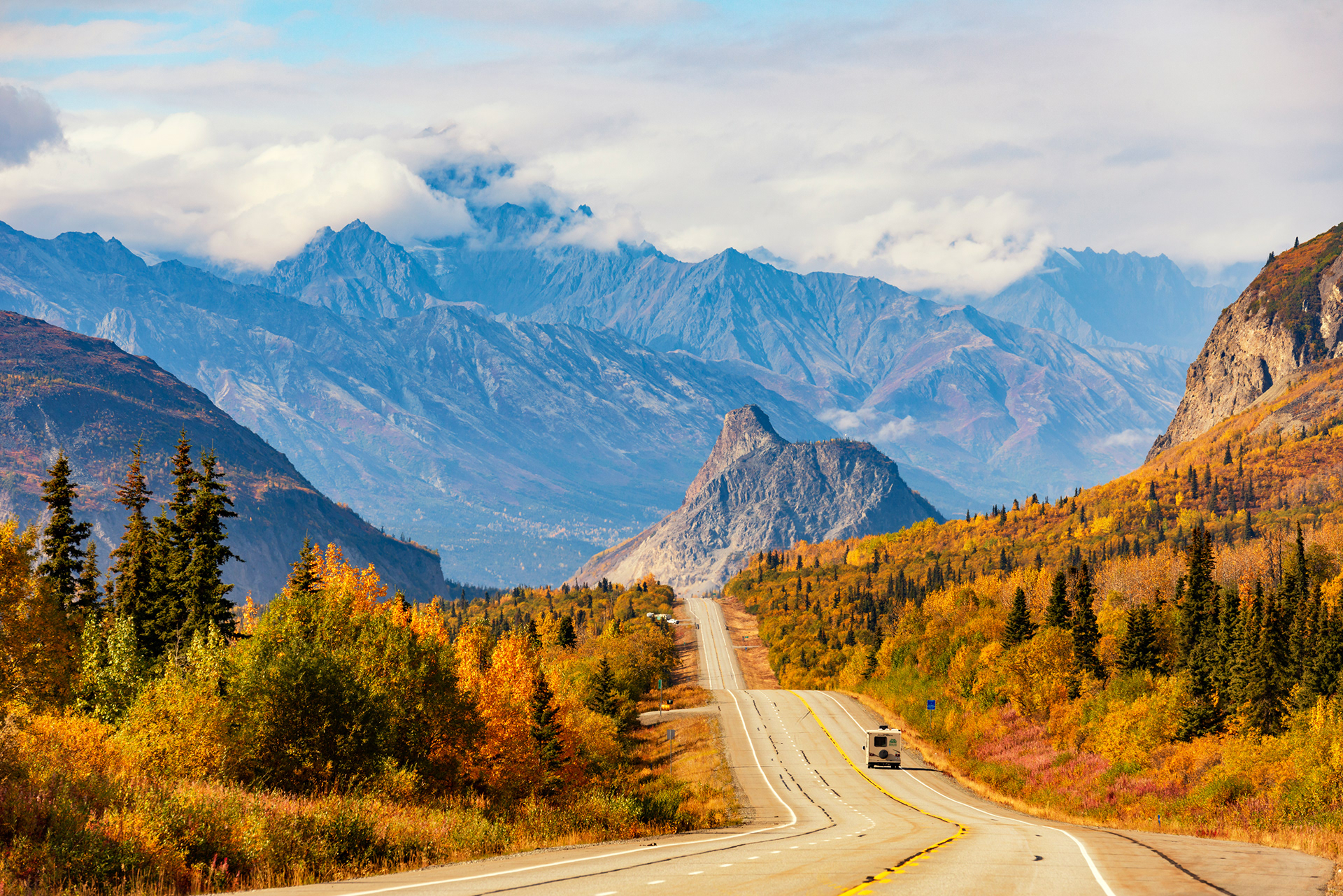
Lion Head: A few miles from the Matanuska, on the Glenn Highway, a rock hill shaped convincingly like a lying lion rises above the road. The highway rolls up and down in front of it. It is the landmark of that stretch and the reason to keep the camera in the front seat rather than the trunk.
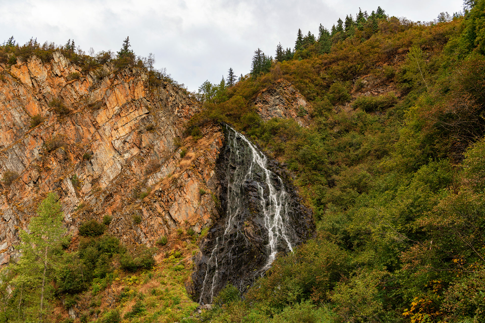
Bridal Veil Falls and Horsetail Falls: Two waterfalls on the Richardson Highway just north of Valdez, close enough together to see both from the same pullout, falling down the rock wall right beside the road. Both names are borrowed from Yosemite, where the falls are far more famous and far larger. These ones you can hear from the car with the window down.
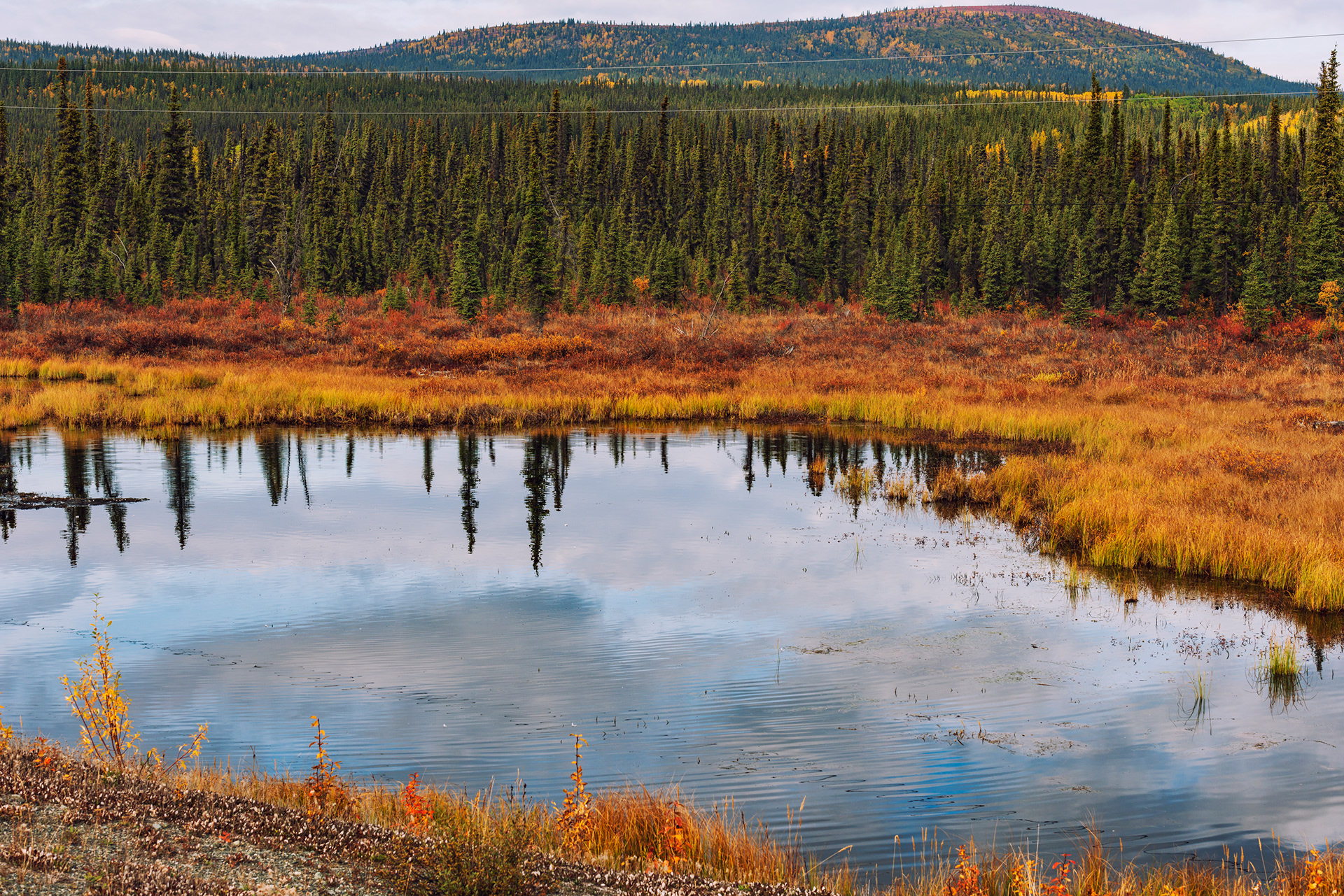
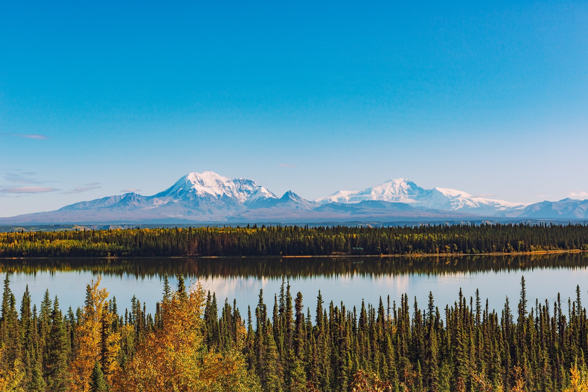
Thompson Pass and Blueberry Lake: The southern Richardson climbs over Thompson Pass with the St. Elias range standing to the east, and this is the best of the road. Blueberry Lake, just below the pass, is a reflection pool with mountains behind it and tundra color around it in September.
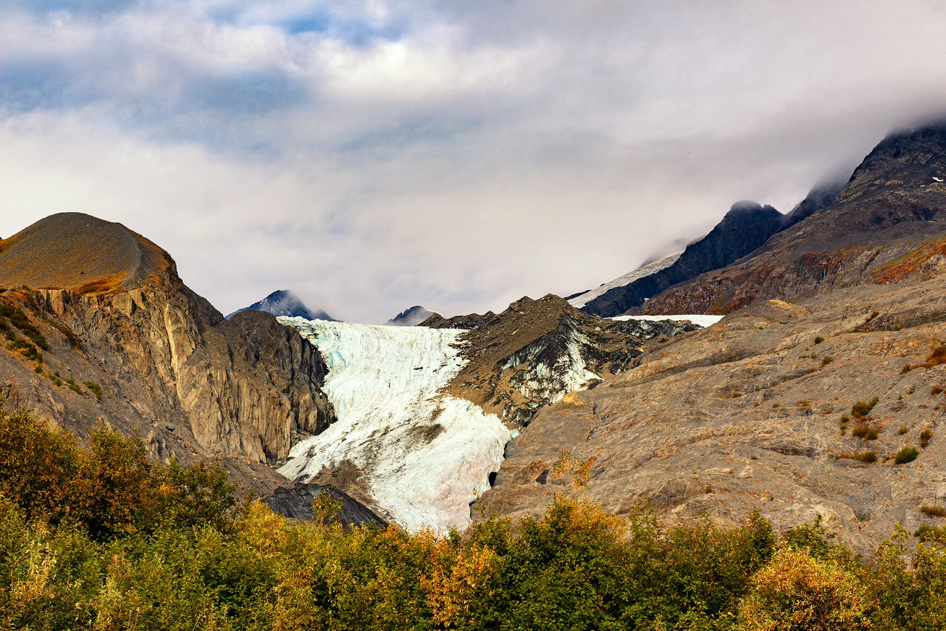
Worthington Glacier: Another glacier you can reach from the roadside, and the clearest illustration of what retreat looks like. It has pulled back so far and so fast that when we visited there was only a small tongue of ice left to see from the viewing area. Photographs from a few decades ago show something else entirely.


Valdez and the Columbia Glacier
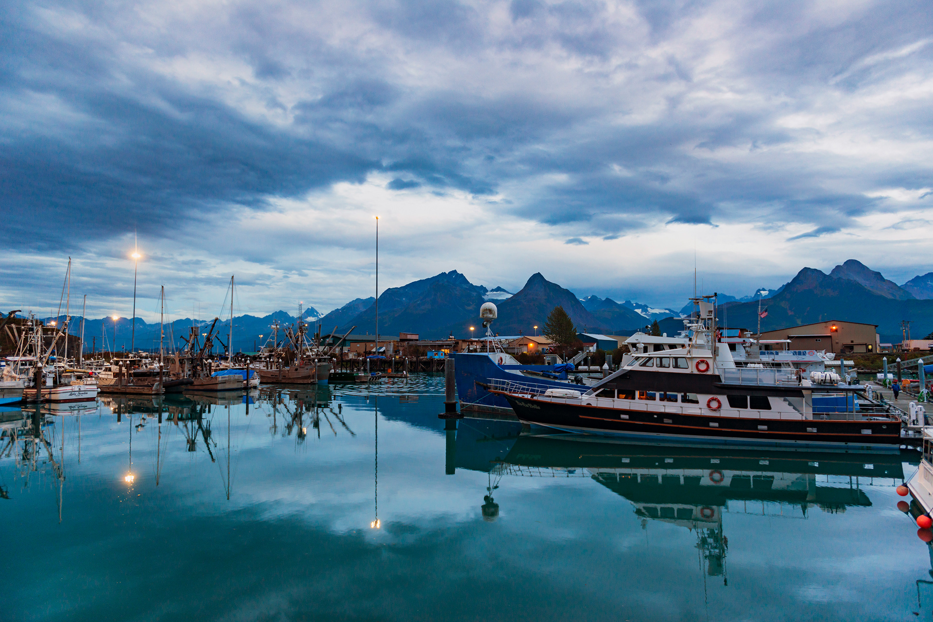
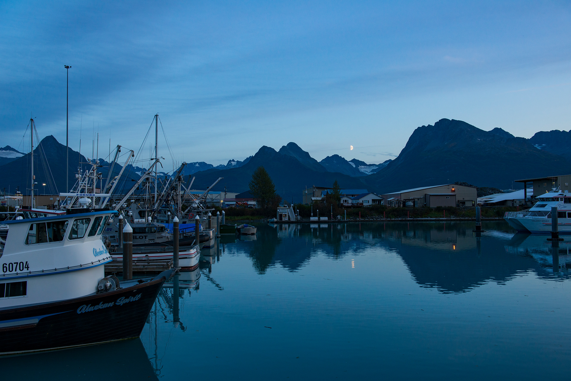
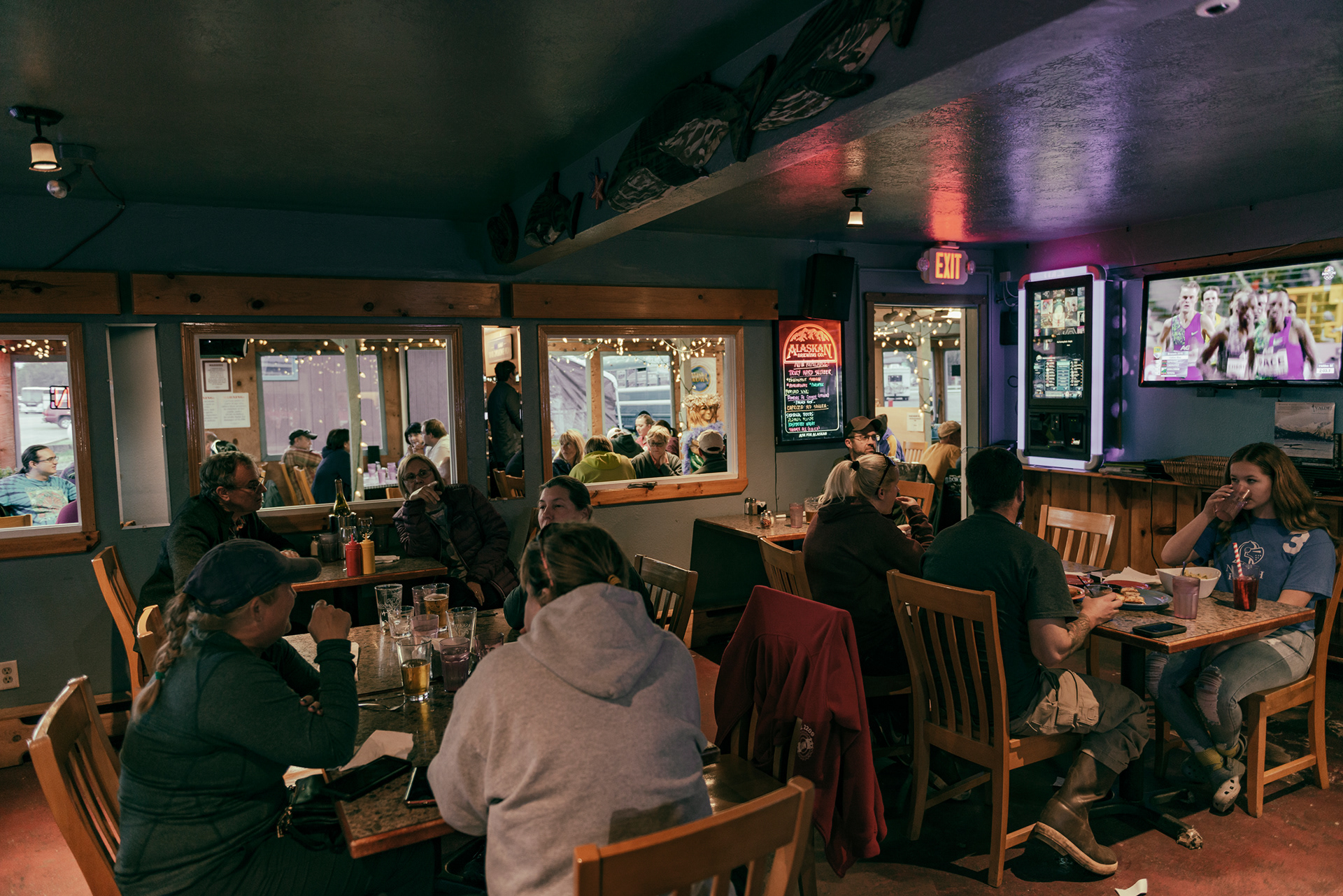
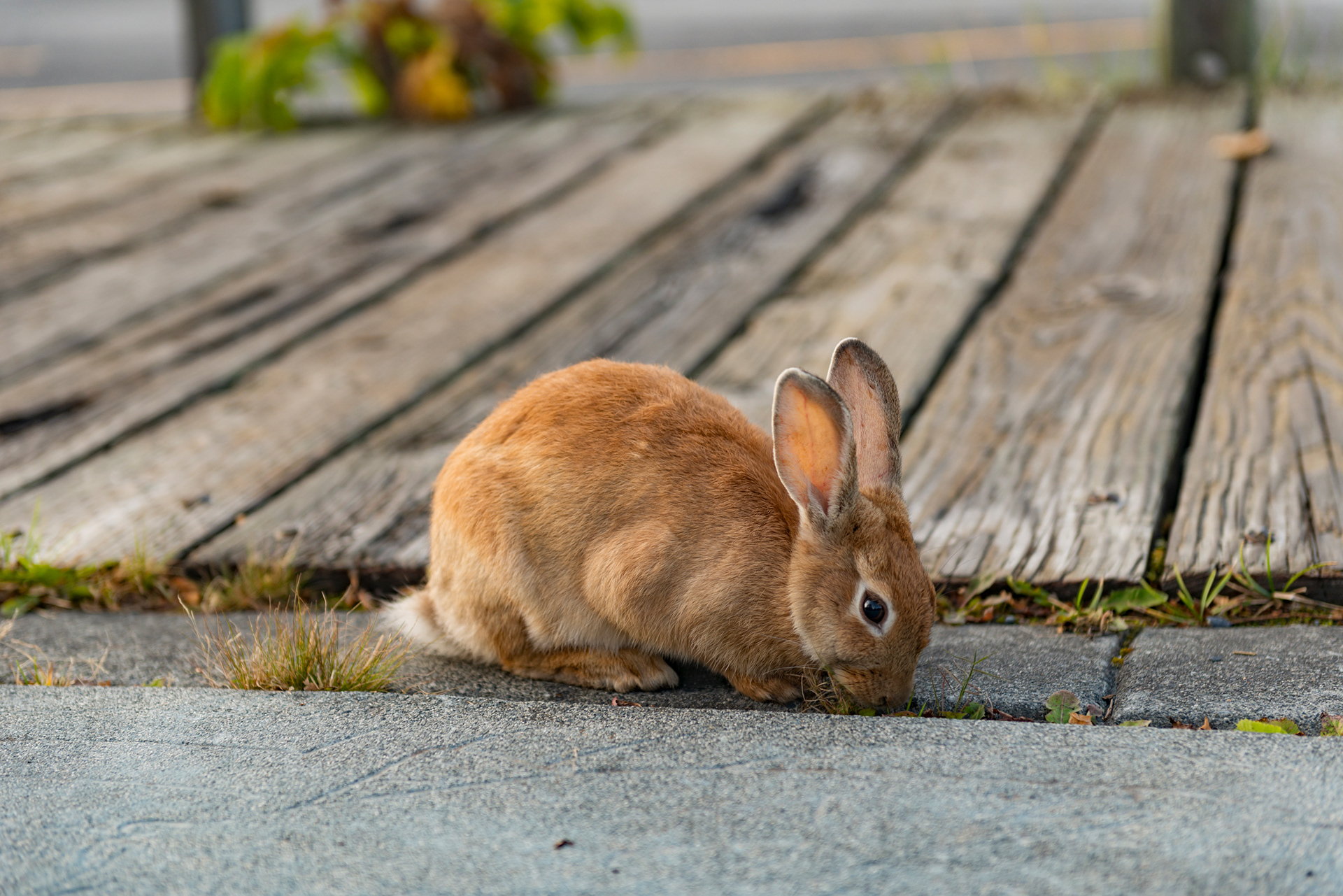
Valdez sits deep inside Prince William Sound with mountains on three sides and the sea on the fourth. It is the southern terminus of the Trans-Alaska Pipeline, which is the same pipeline we had been driving beside a week earlier at the top of the state. Crude from Prudhoe Bay travels 800 miles down the Dalton and Richardson corridors and gets onto a tanker here. We arrived in the evening. By September the summer crowds are gone and the town is quiet and very pretty, the harbor full of masts, the light coming down the inlet late and low. There are hares everywhere in Valdez, in an unusual number of colors. We had dinner at The Fat Mermaid on the waterfront, where the food was good and the kitchen was in no hurry whatsoever.
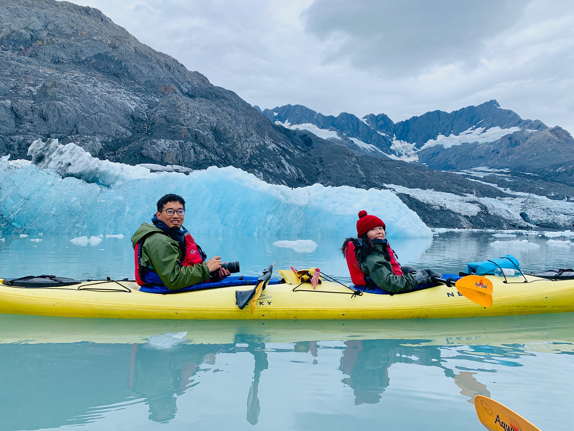
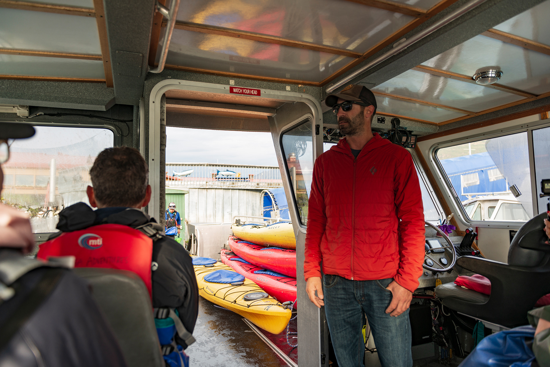
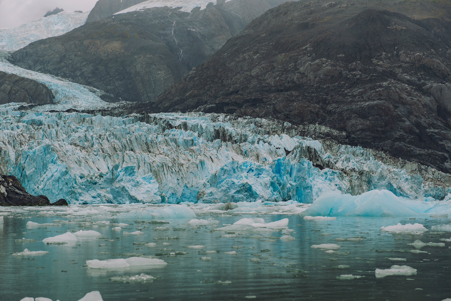
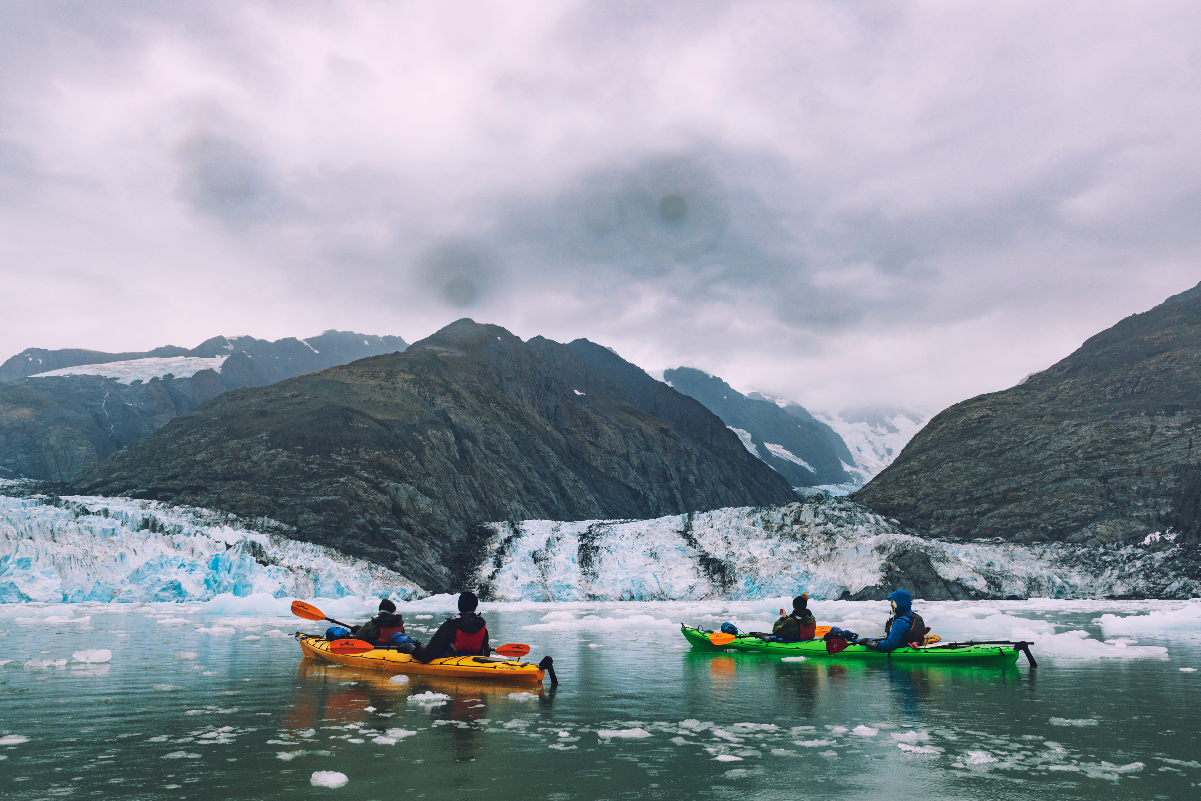
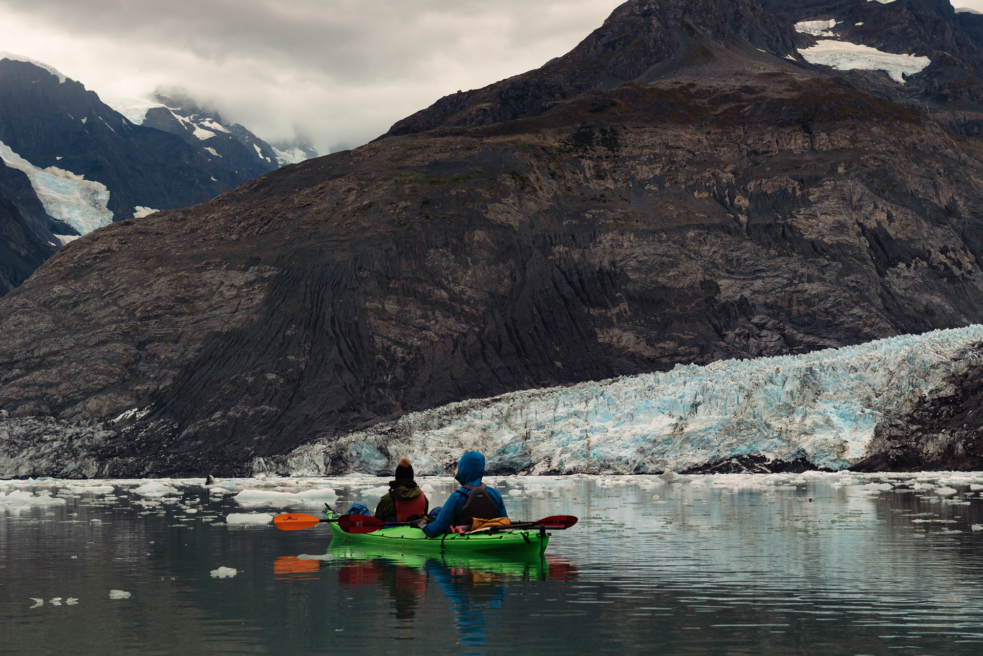
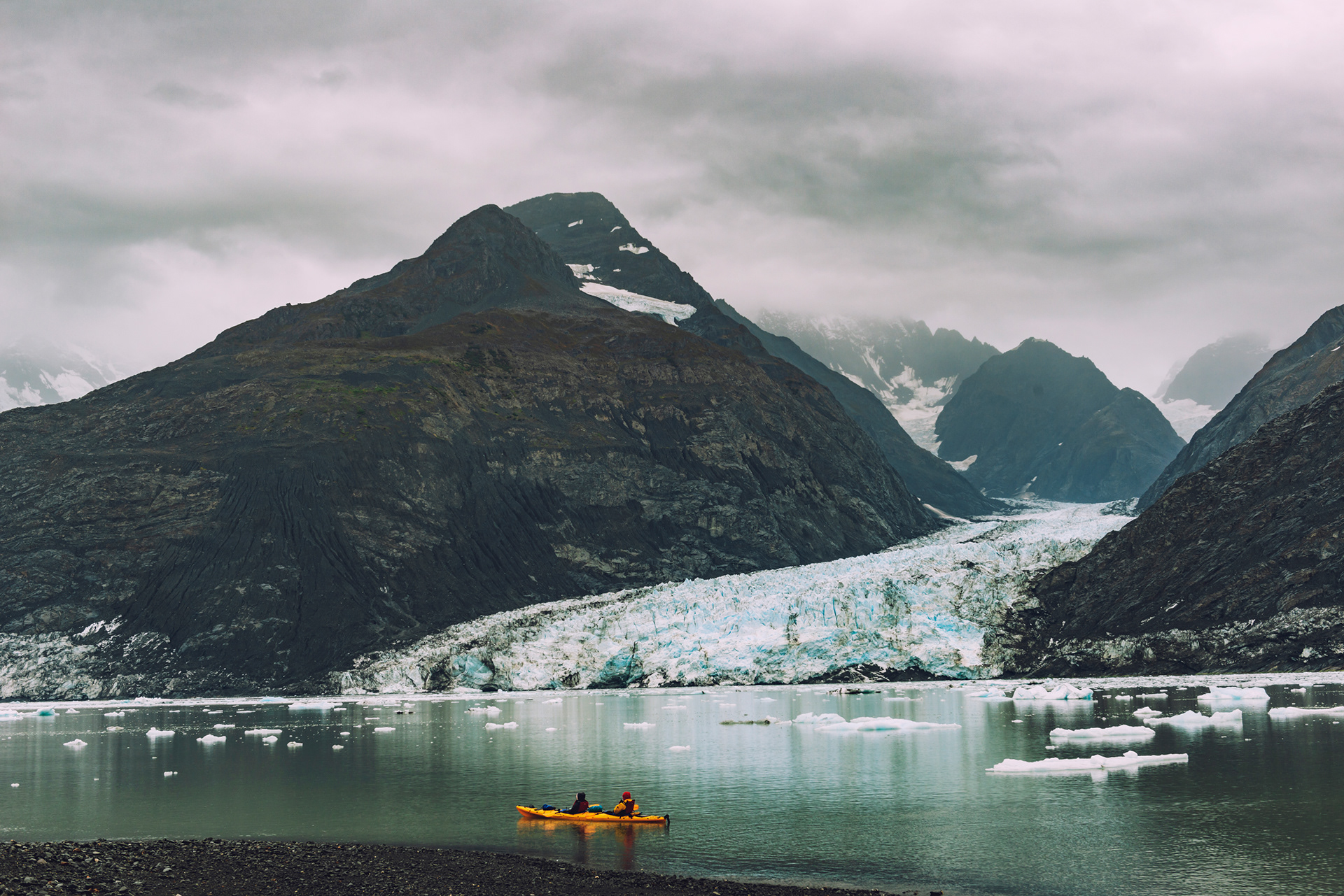
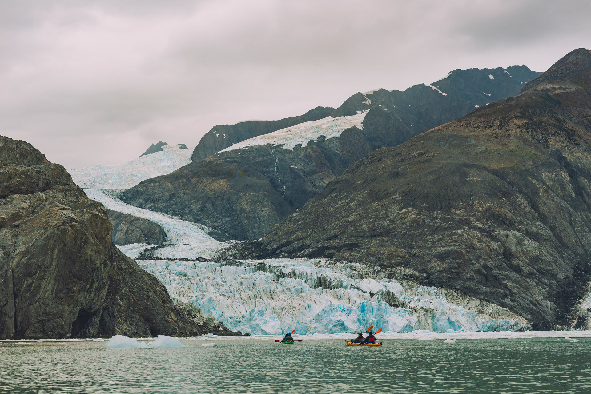
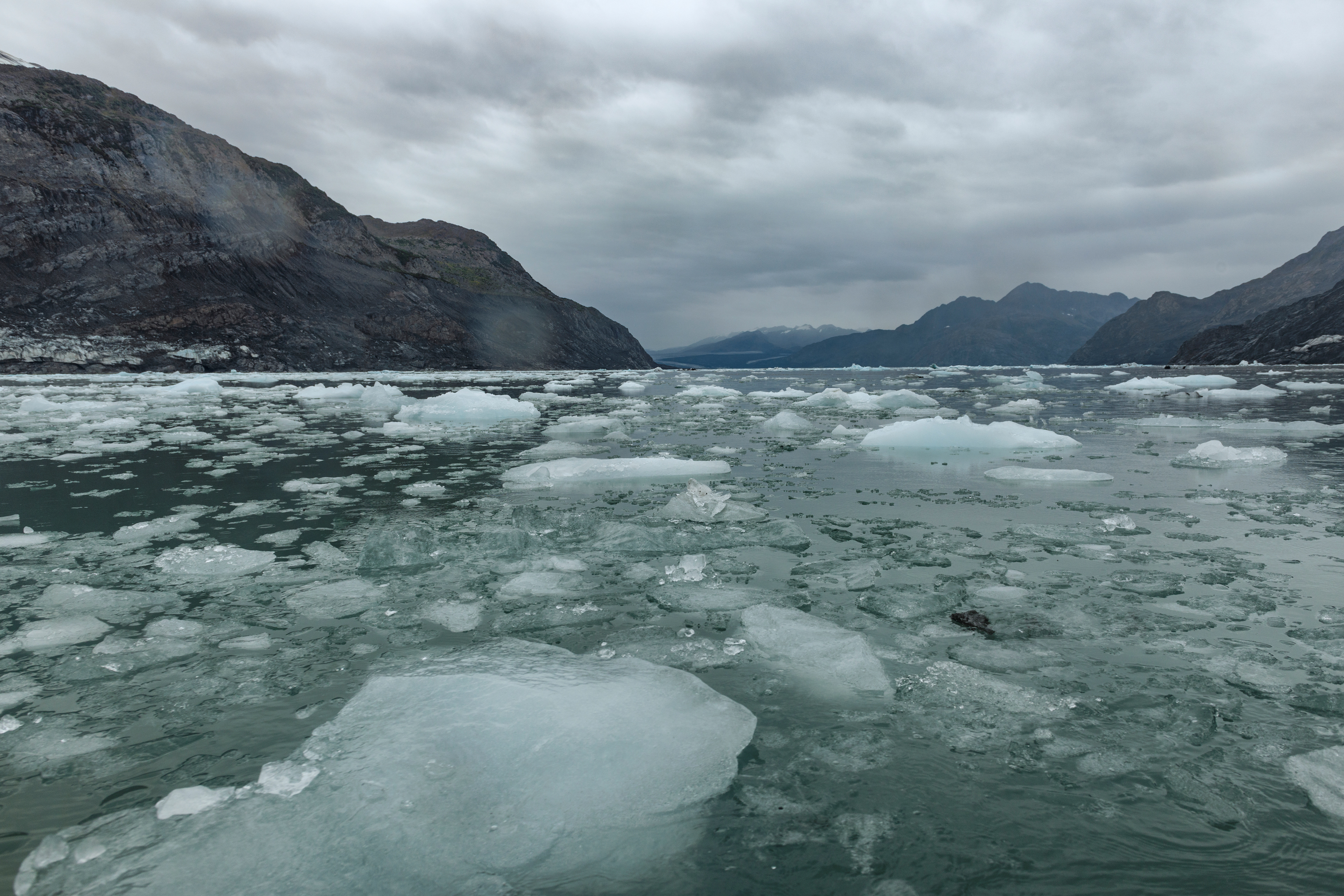
The next morning we were at the dock at eight for the thing we had come for: a full day of sea kayaking at the face of the Columbia Glacier, the largest tidewater glacier in Prince William Sound and one of the fastest-moving glaciers in the world. The guides dressed us first, which took a while. A windproof layer, then a waterproof layer over that, then a life vest over both, until everyone in the group was shaped roughly like a bear. My wife had brought a nice outfit in the hope of decent photographs and never got to wear any of it.
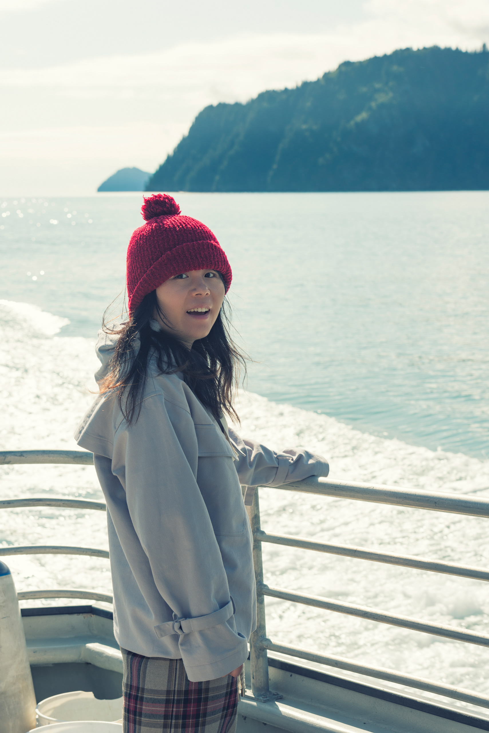
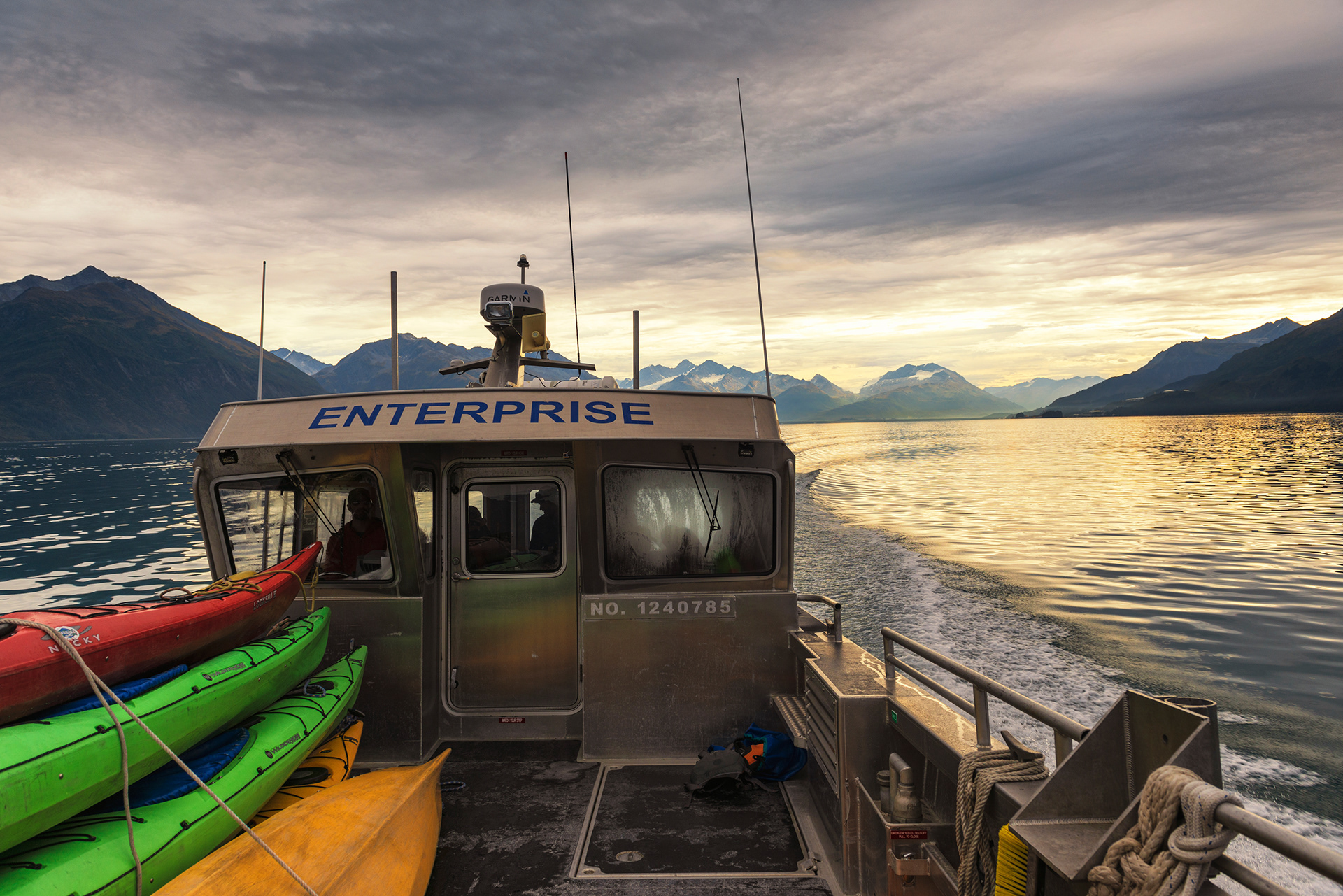
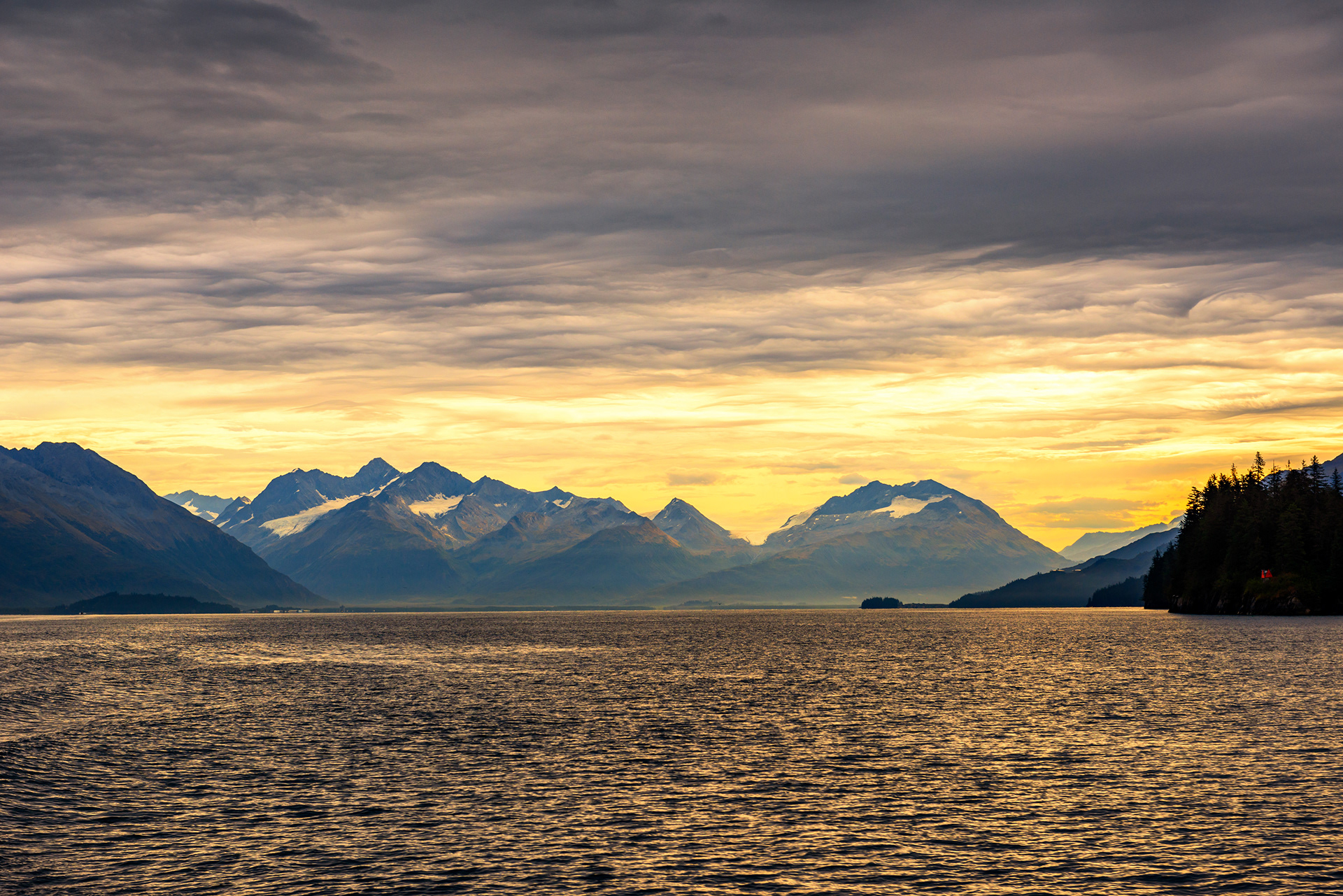
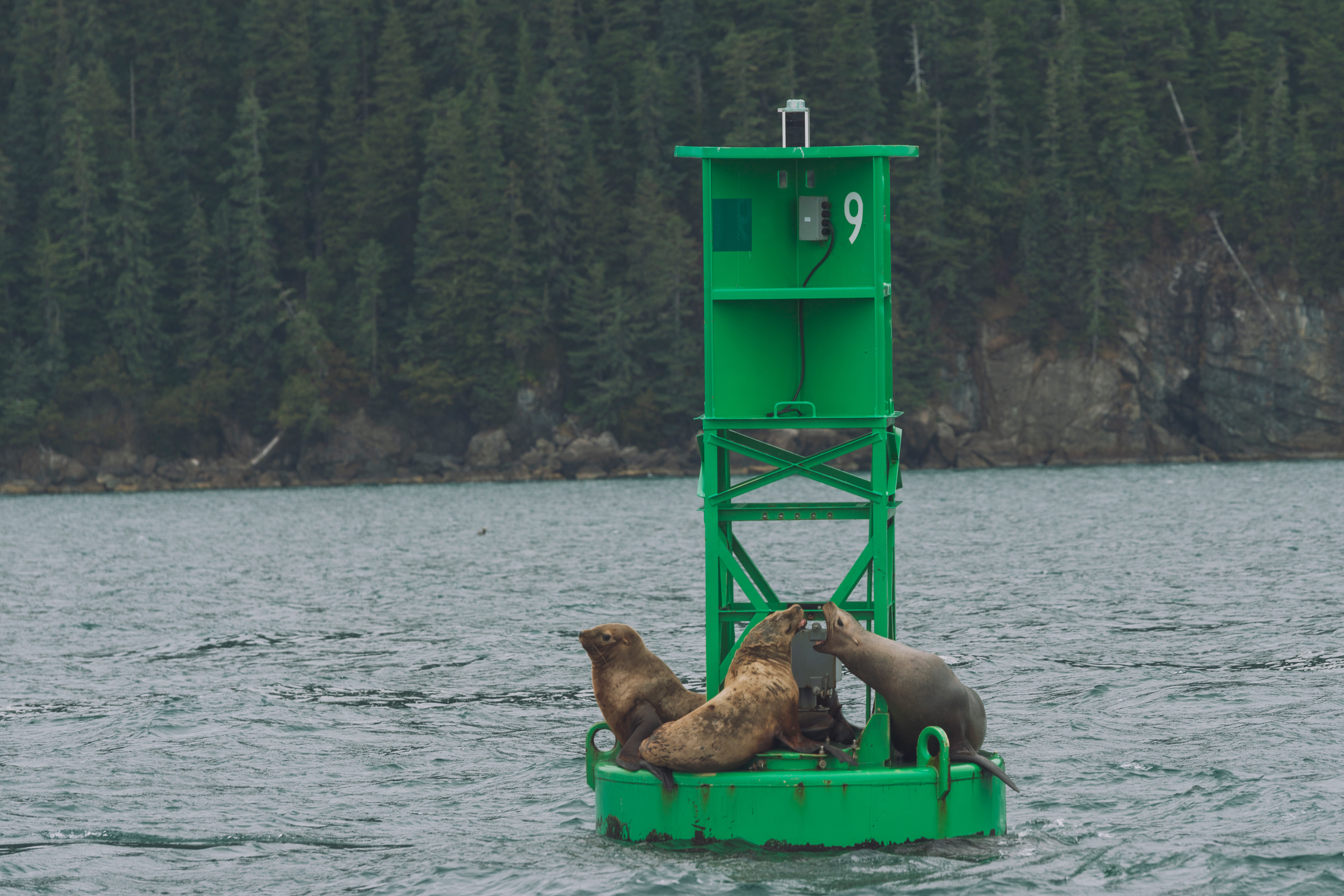
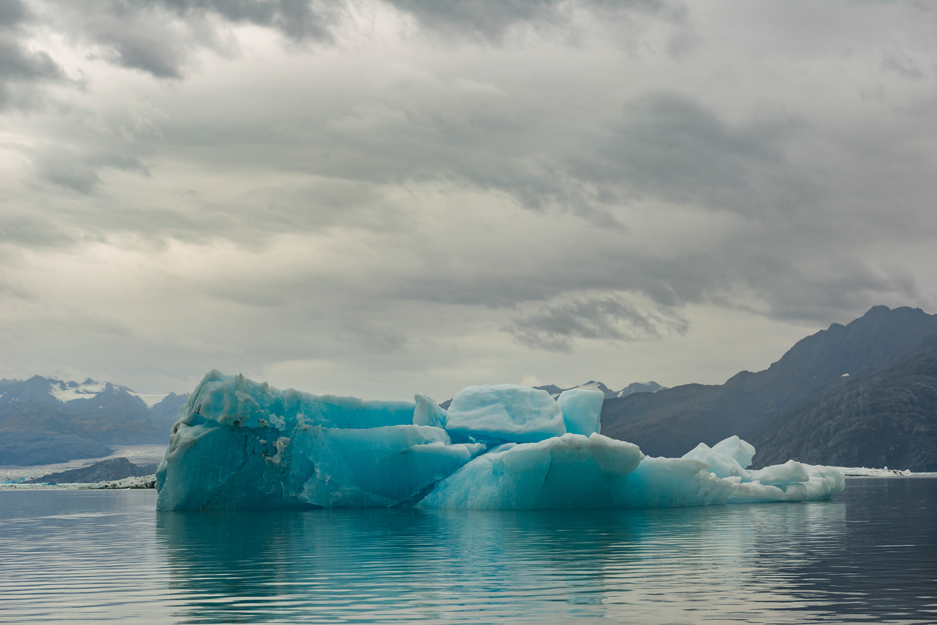
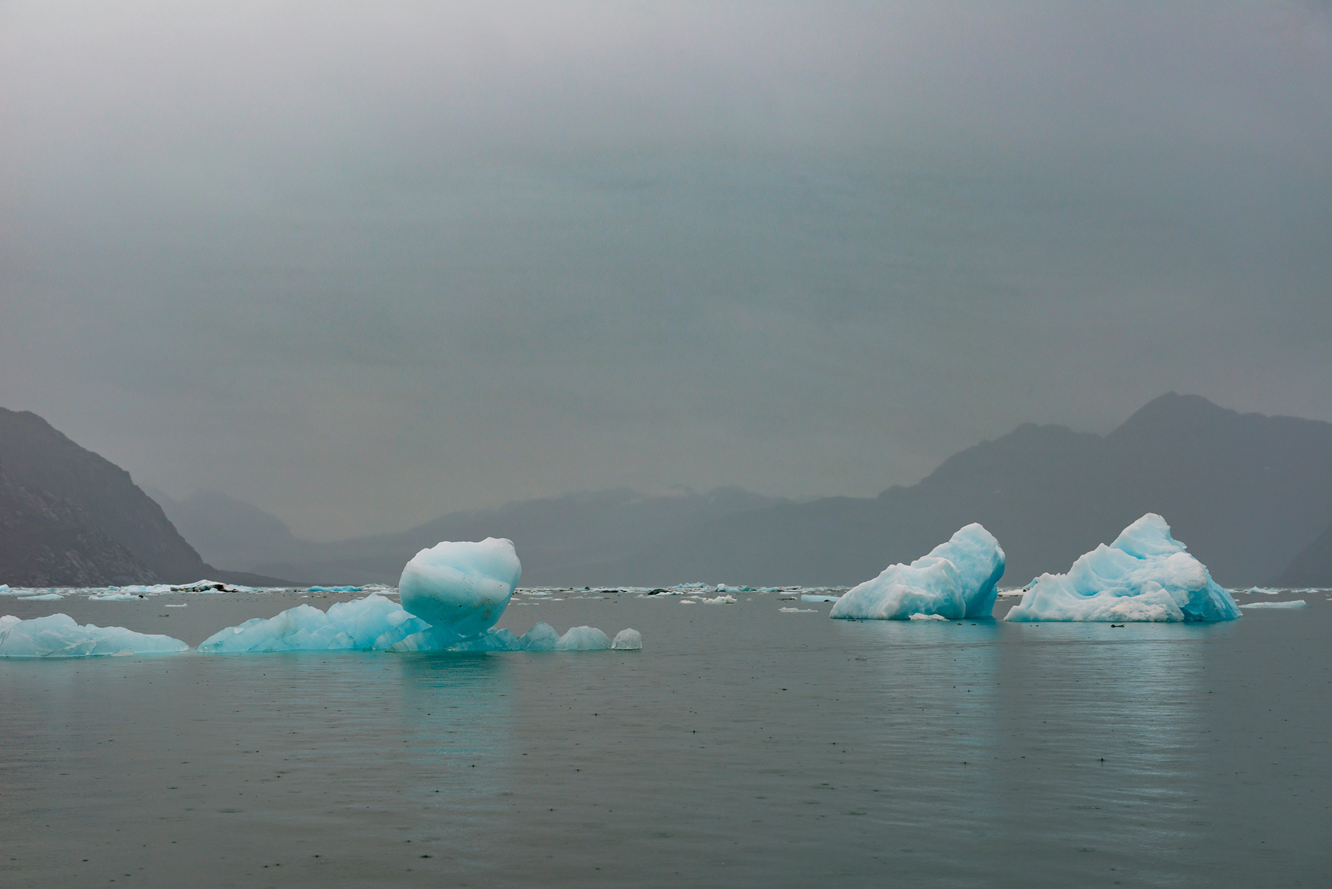
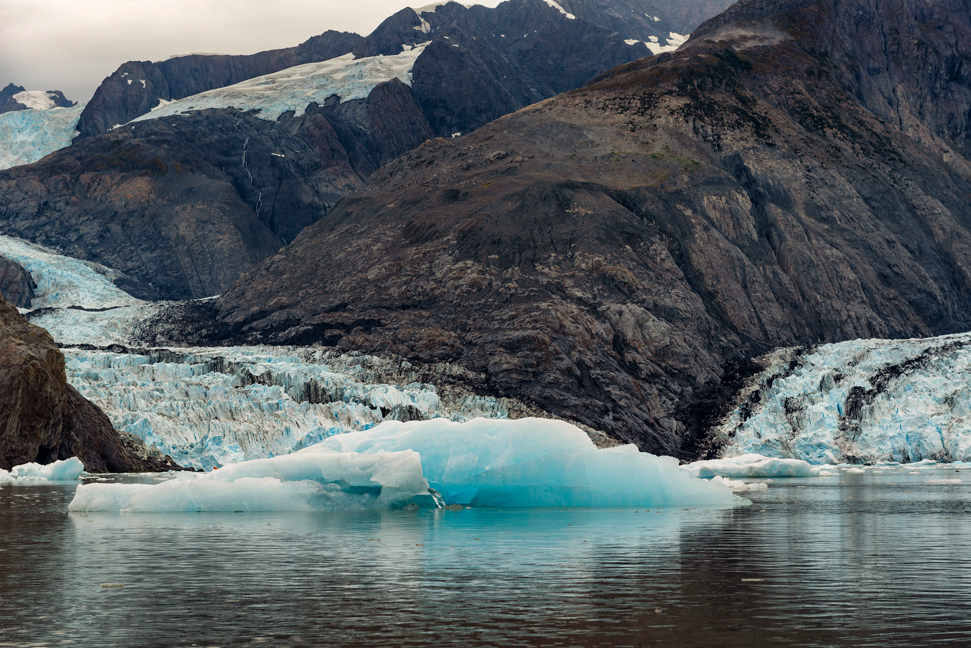
It is ninety minutes by boat from Valdez to the glacier, and the boat's deck is mostly taken up by kayaks, so the passengers ride inside. I went out on deck partway to take pictures and understood immediately why we had been made to put on three layers. Seals appeared beside the boat. Mountains came and went in the cloud. Here is something counterintuitive about photographing ice: you want an overcast day. Direct sun washes the blue out of floating ice and flattens it. Under a grey sky the same ice glows. We had cloud and light rain the entire day, which meant we had excellent conditions, and I say that fully aware of how it sounds.
We had been told that a few years ago this tour could not reach the upper end of Columbia Bay at all, for safety reasons. Now it can, because the glacier has retreated far enough to make room. Access improved because the ice is disappearing. Nobody on the boat quite knew what to do with that. The kayaking itself is harder than it looks. Two people in one boat have to agree about direction, and turning around a floating chunk of ice requires the kind of coordination that takes a few hours to develop. Photographing anything while paddling is close to impossible. Water came off the paddle onto our faces and was extremely cold. We tasted it, out of curiosity, and it had almost none of the bitterness of seawater, which tells you how much glacial meltwater is sitting in that bay.
The ice got bigger and more frequent as we went in. Three separate tidewater glaciers are visible from the water there, and we paddled to one in the morning and a second after lunch. Above the glacier face the clouds were black and there was lightning in them. We got as close as the guides would allow, which was close enough to hear it. Lunch was on shore, with hot cocoa the guides had carried in, and the bathroom arrangements were the memorable part. There is no facility. There is a pile of broken ice, and behind it you deal with three layers of clothing in the rain.





The Seward Highway
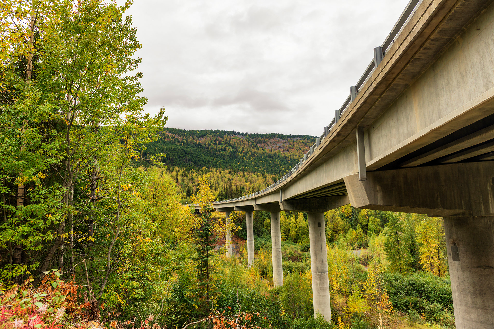
From Anchorage, the Seward Highway runs 127 miles south to the town of Seward. Both are named for William H. Seward, the Secretary of State who bought Alaska from Russia in 1867 for $7.2 million and was mocked for it at the time. The best part of the road is the first part, along the Turnagain Arm just outside Anchorage, where the water is on one side and the Chugach mountains come straight down to the shoulder on the other. The railway runs along the same corridor. We saw a train working its way along the coast and agreed that doing this route by rail would be worth a trip on its own.
Tern Lake: At the junction where the Sterling Highway splits off toward Homer, a small lake sits with snow peaks directly behind it and a great many water birds on it. It is the postcard of the Kenai Peninsula and it is right at a road junction, which feels like cheating.
Bear Creek Weir: A few miles north of Seward, a salmon weir where you can watch the fish run. In September the returning salmon are the reason half the wildlife on this peninsula is where it is. We didn't notice any salmon here though.
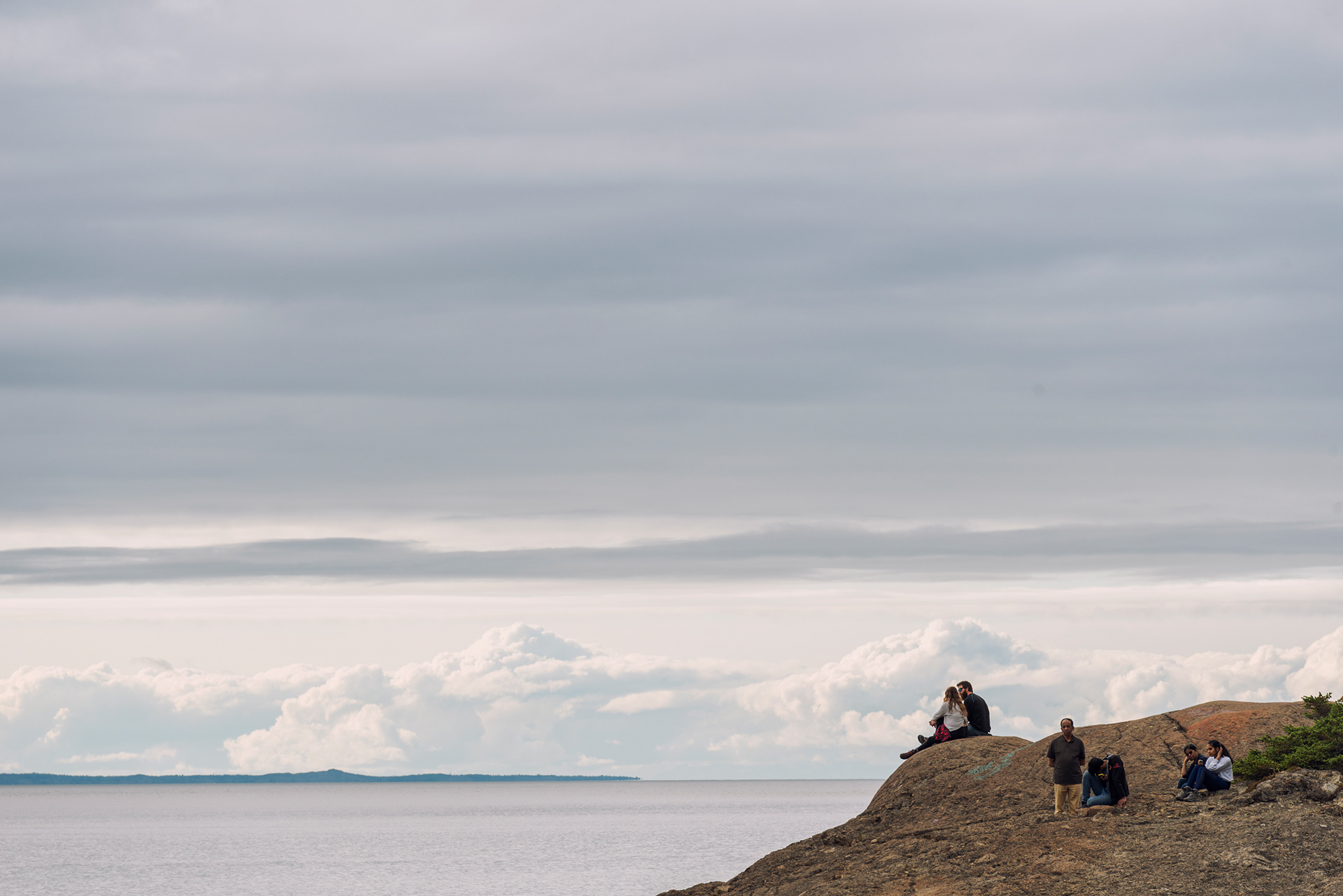
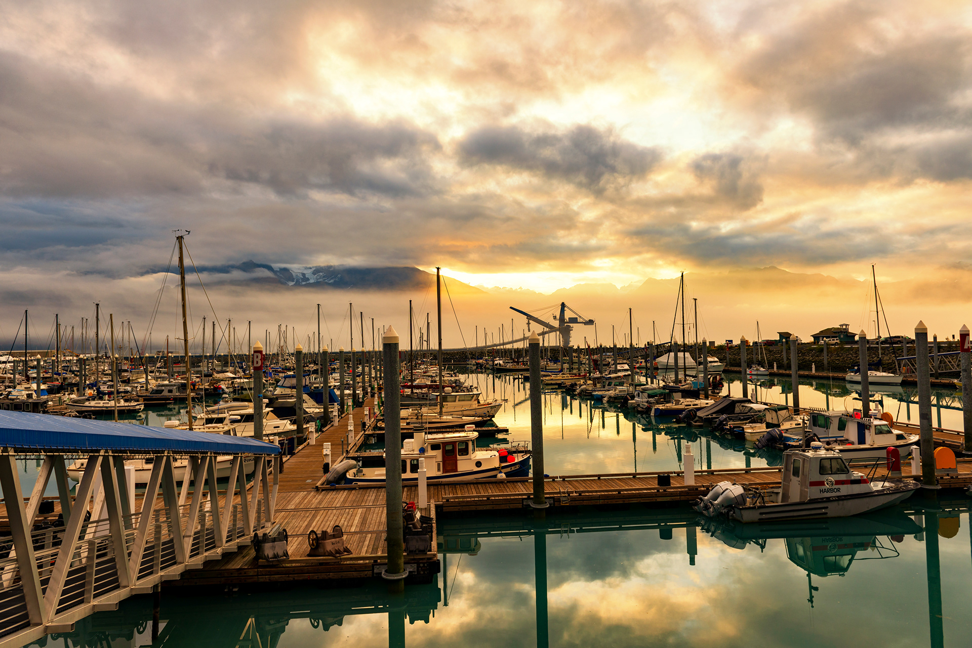
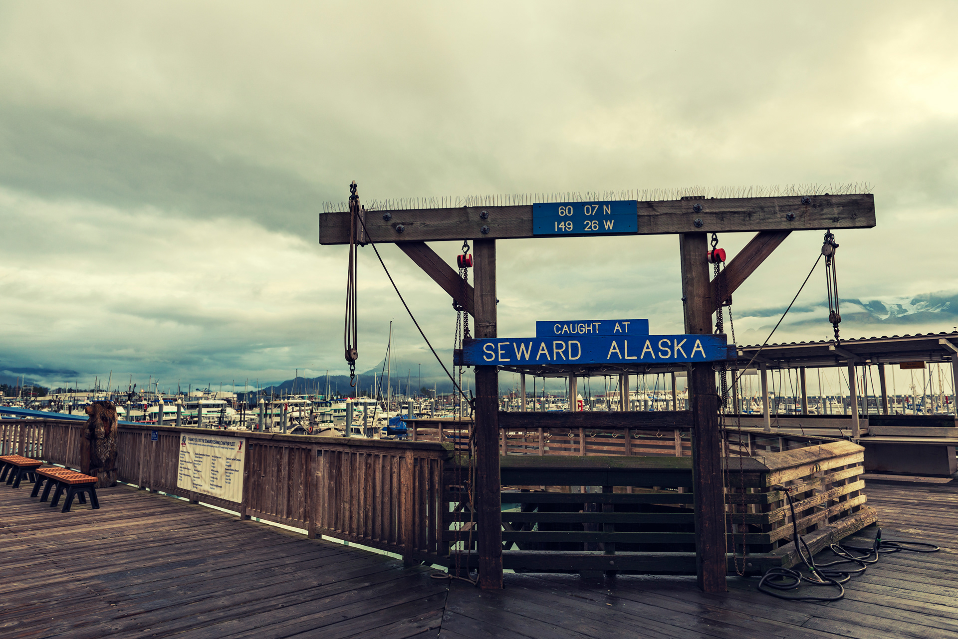
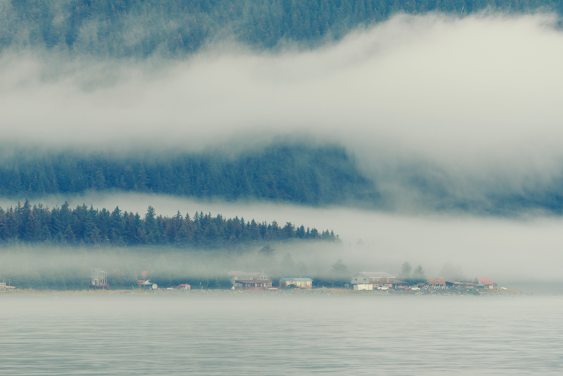
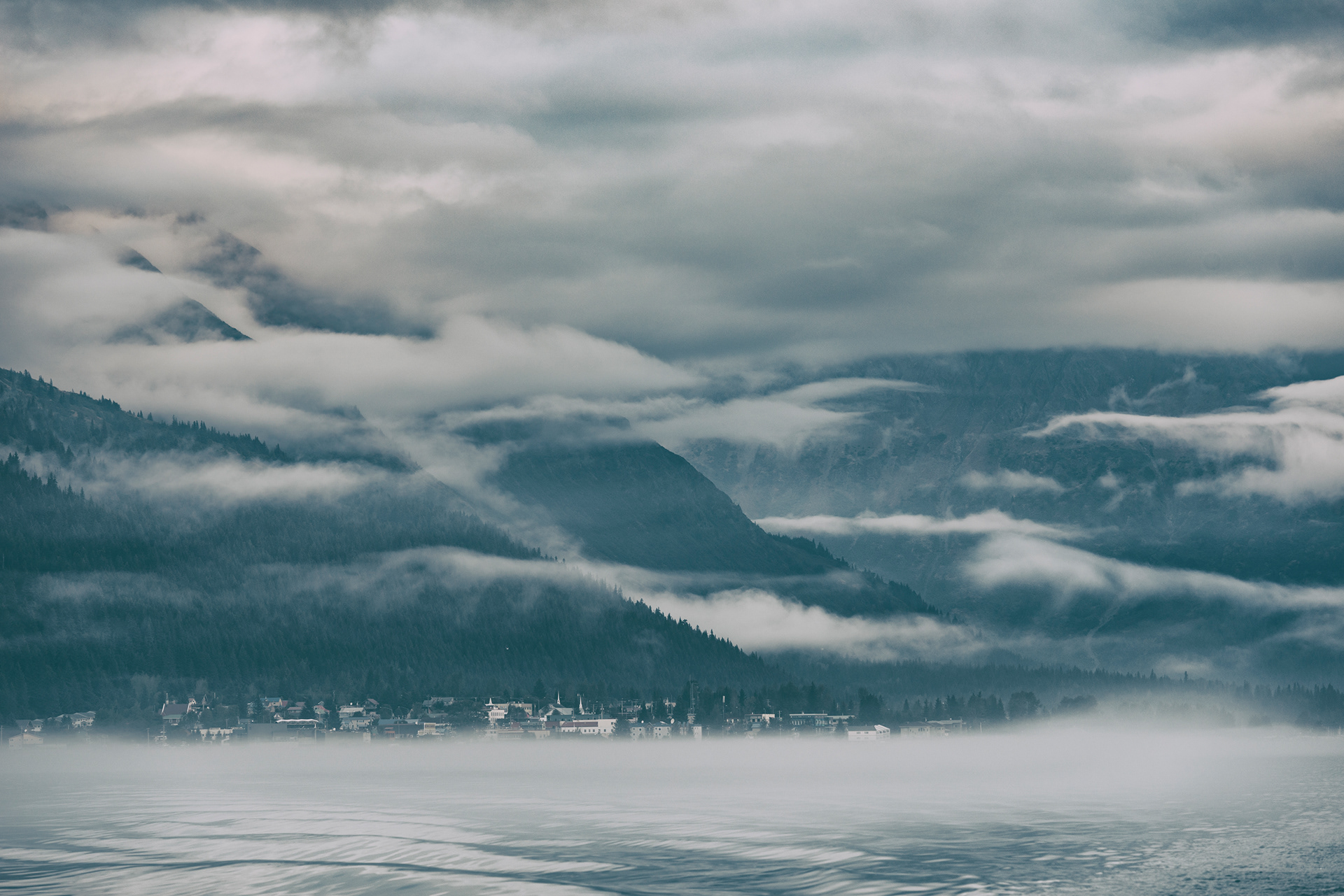
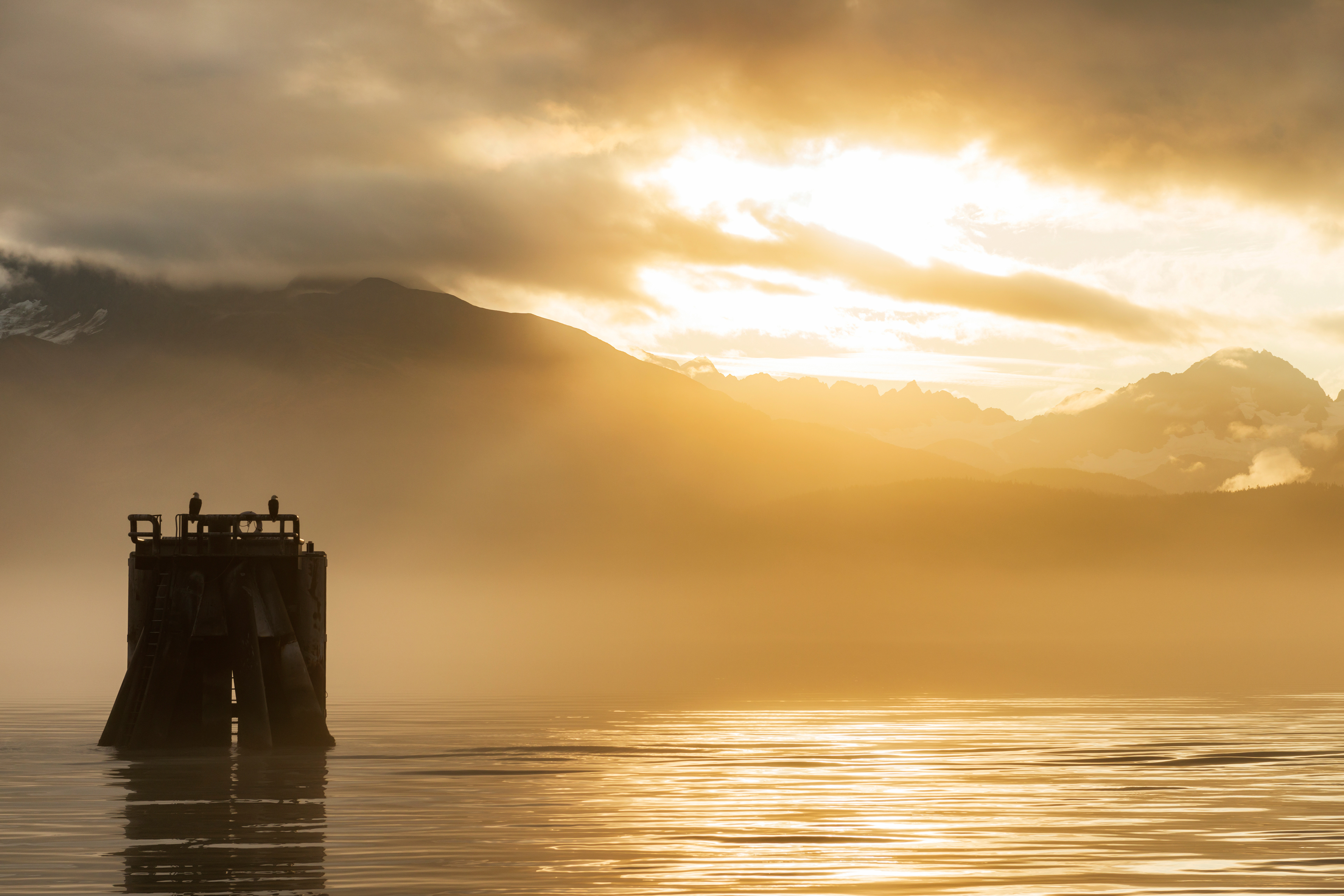
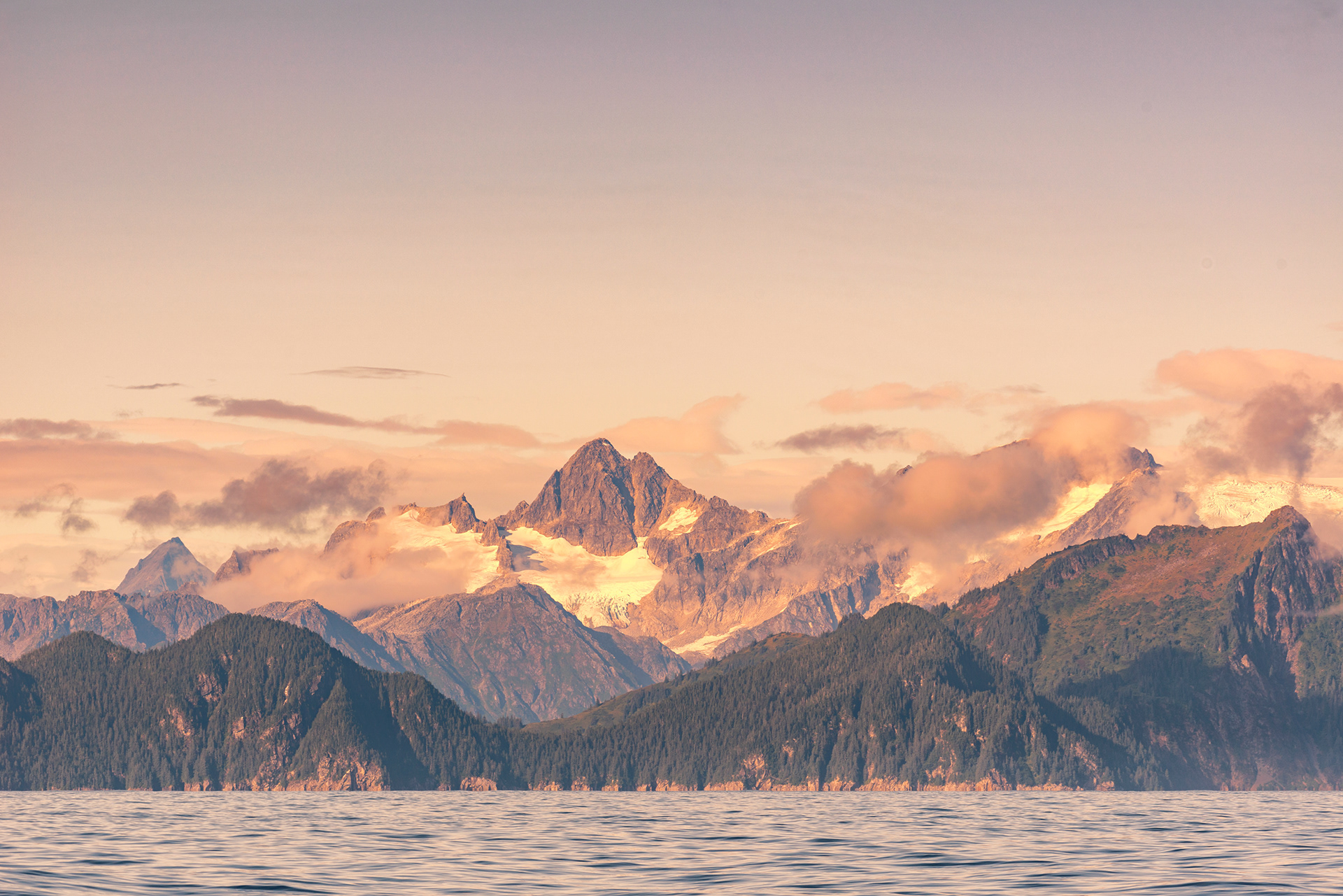
Seward itself is the gateway to Kenai Fjords National Park, and from June to August it is busy with cruise traffic. By September the visitors have thinned out and the harbor goes back to being a working harbor. We were there for the sunrise two mornings running, and both times the light came up the inlet and turned the whole port gold.




Kenai Fjords by Sea
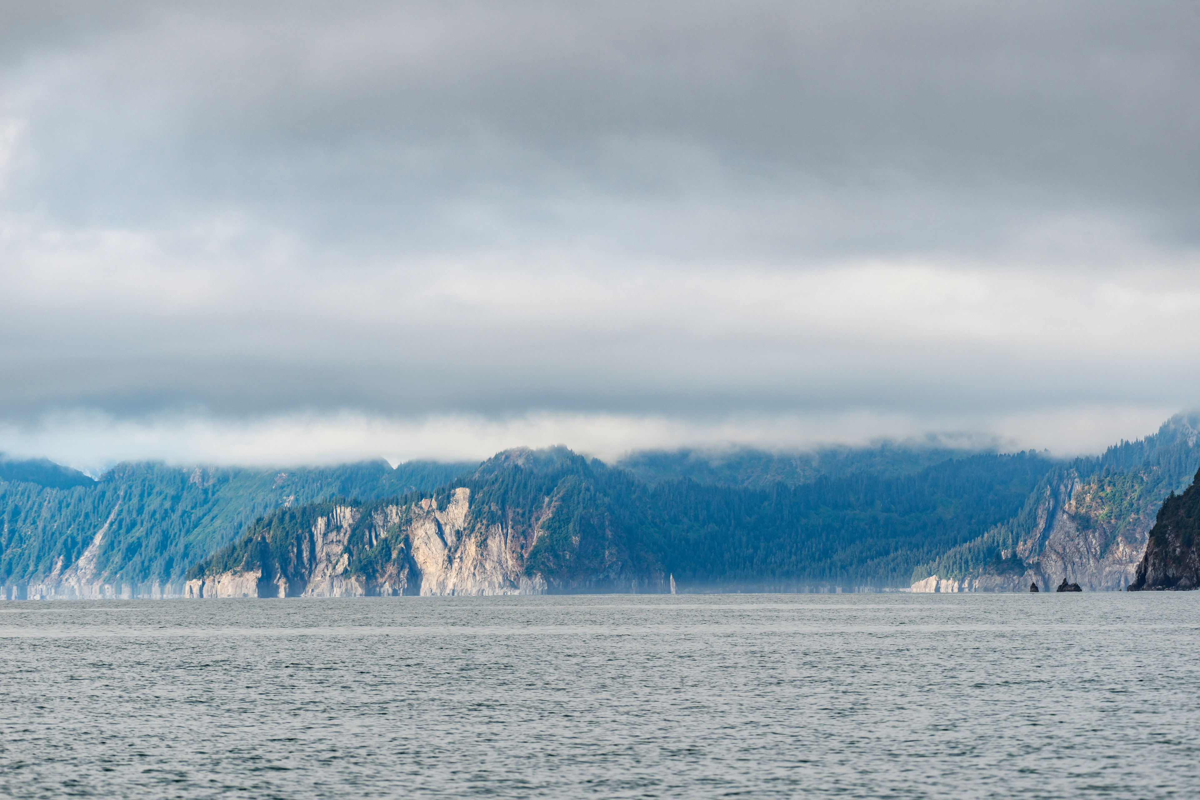
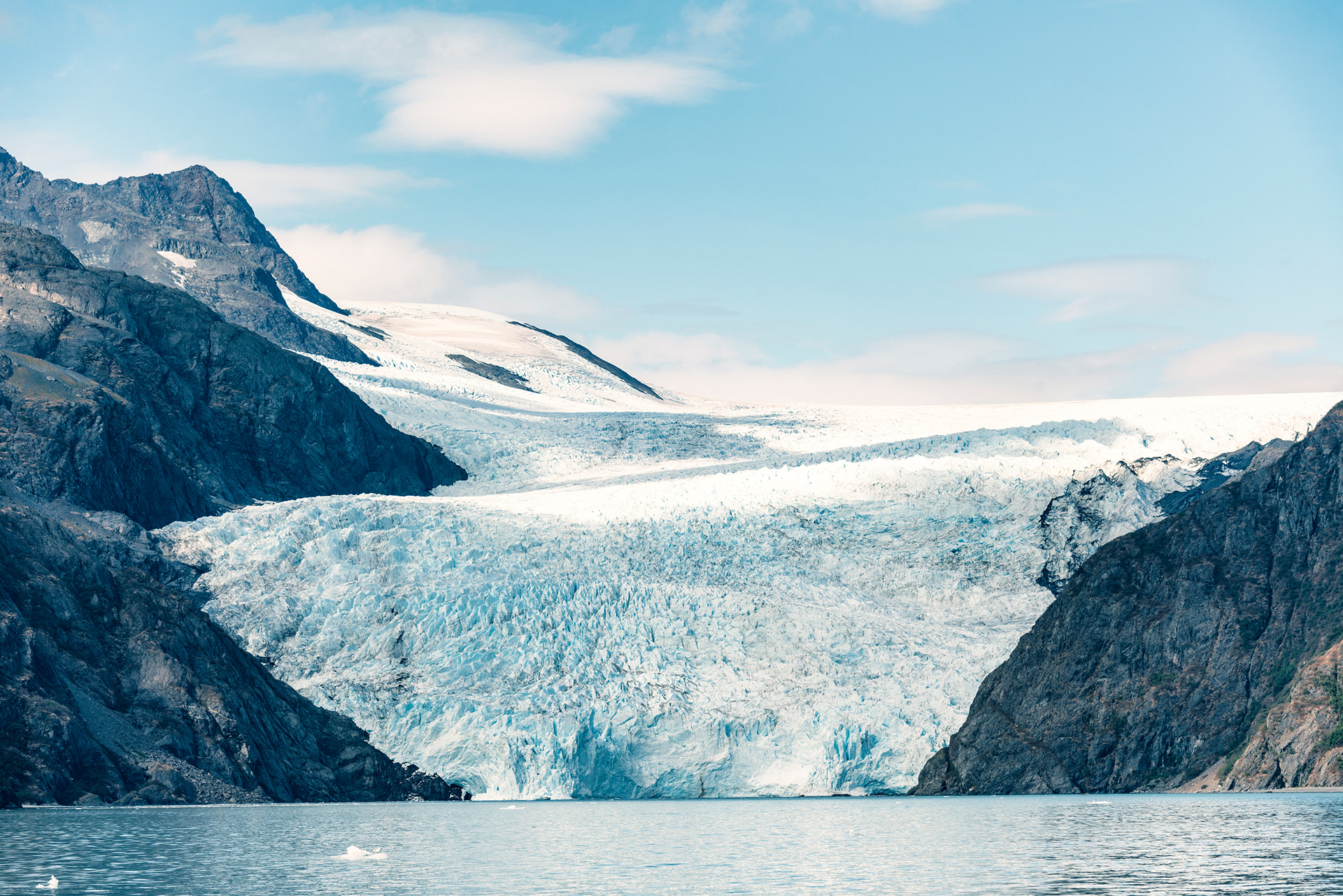
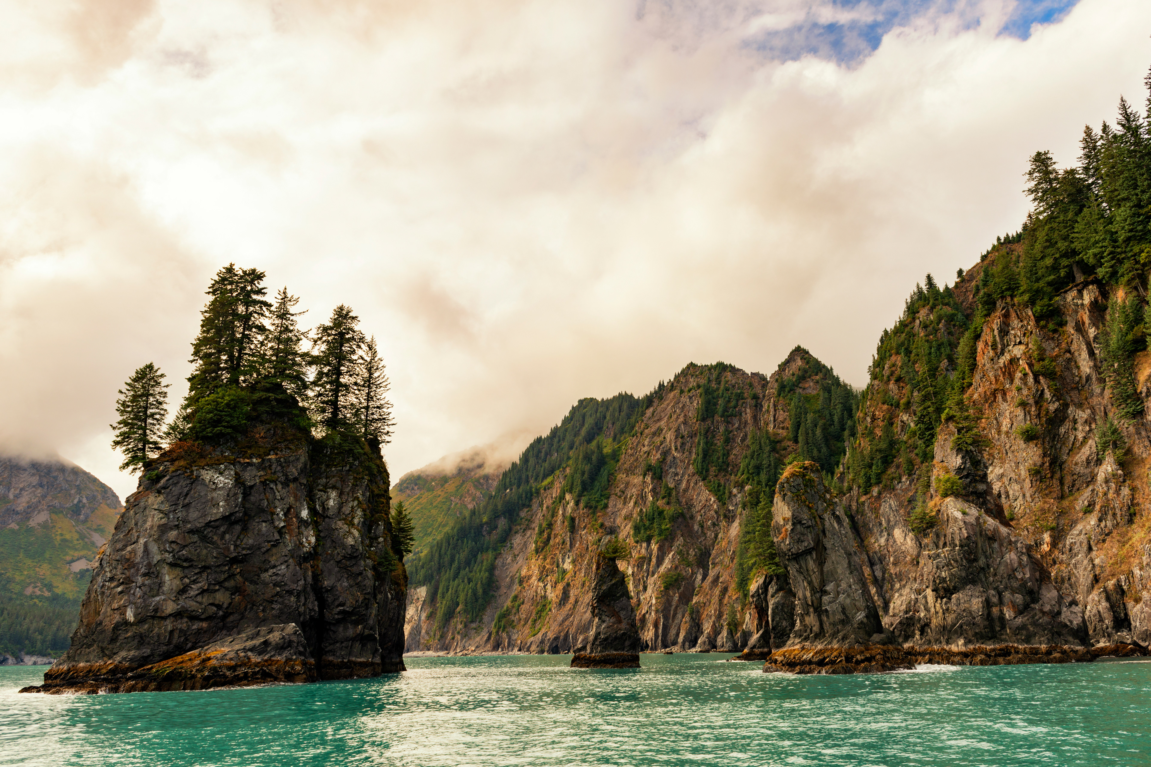
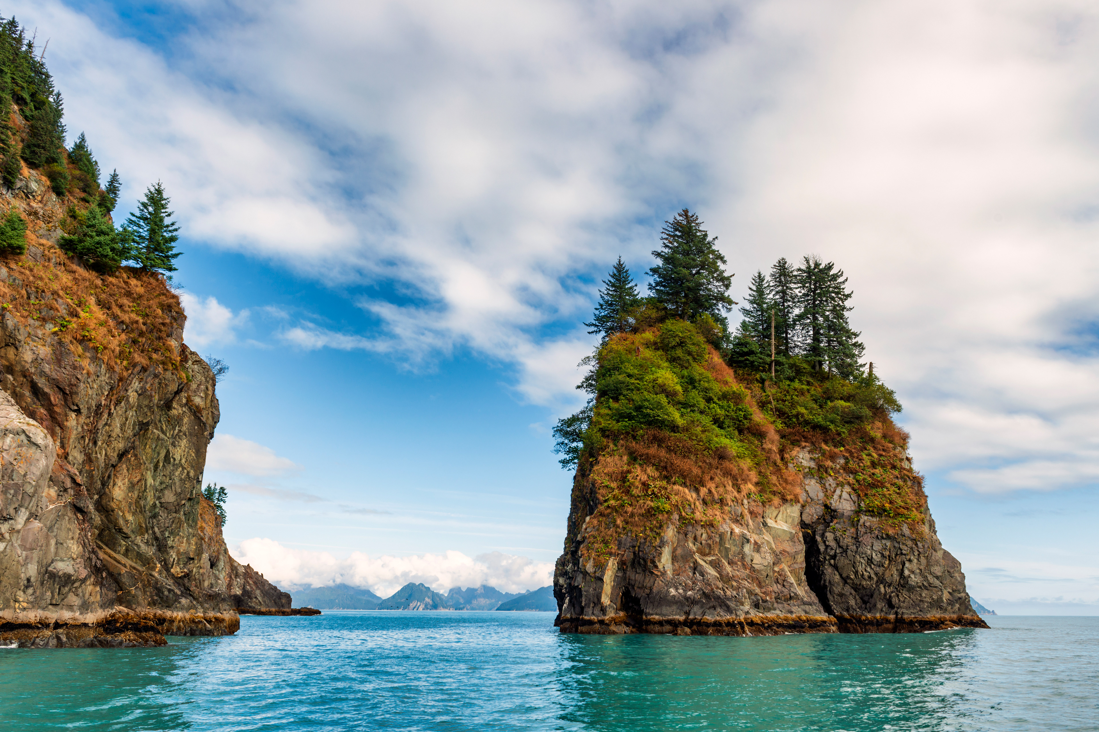
A fjord is a valley that a glacier carved and the sea then flooded. The word is Norwegian and the landform is a high-latitude specialty: ice grinds a U-shaped trench down to the coast, the ice retreats, the water comes in, and what is left is a deep inlet with walls. Kenai Fjords National Park covers about 1,047 square miles, roughly half of it under the Harding Icefield, and the fjords along its coast can only be seen from a boat.
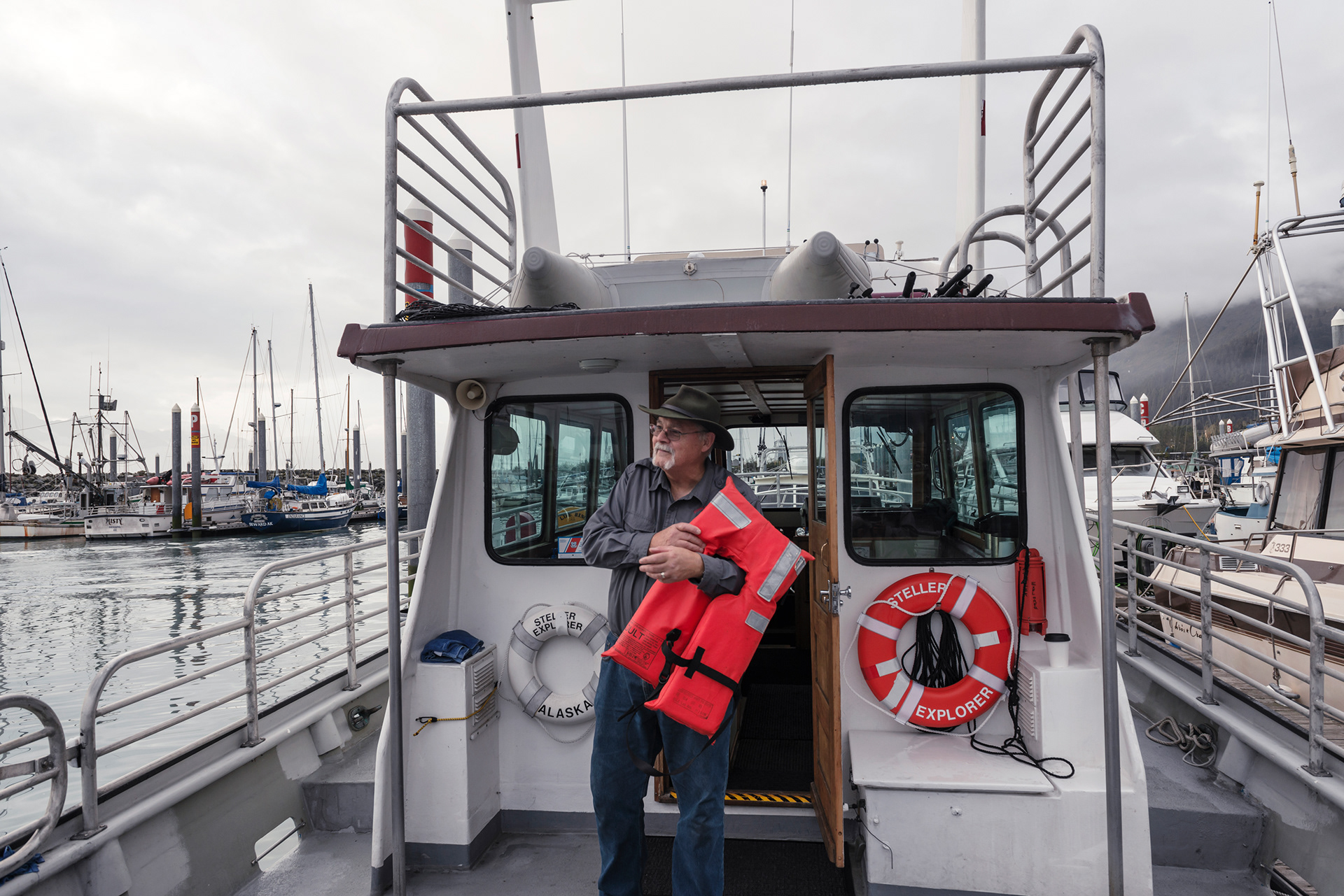
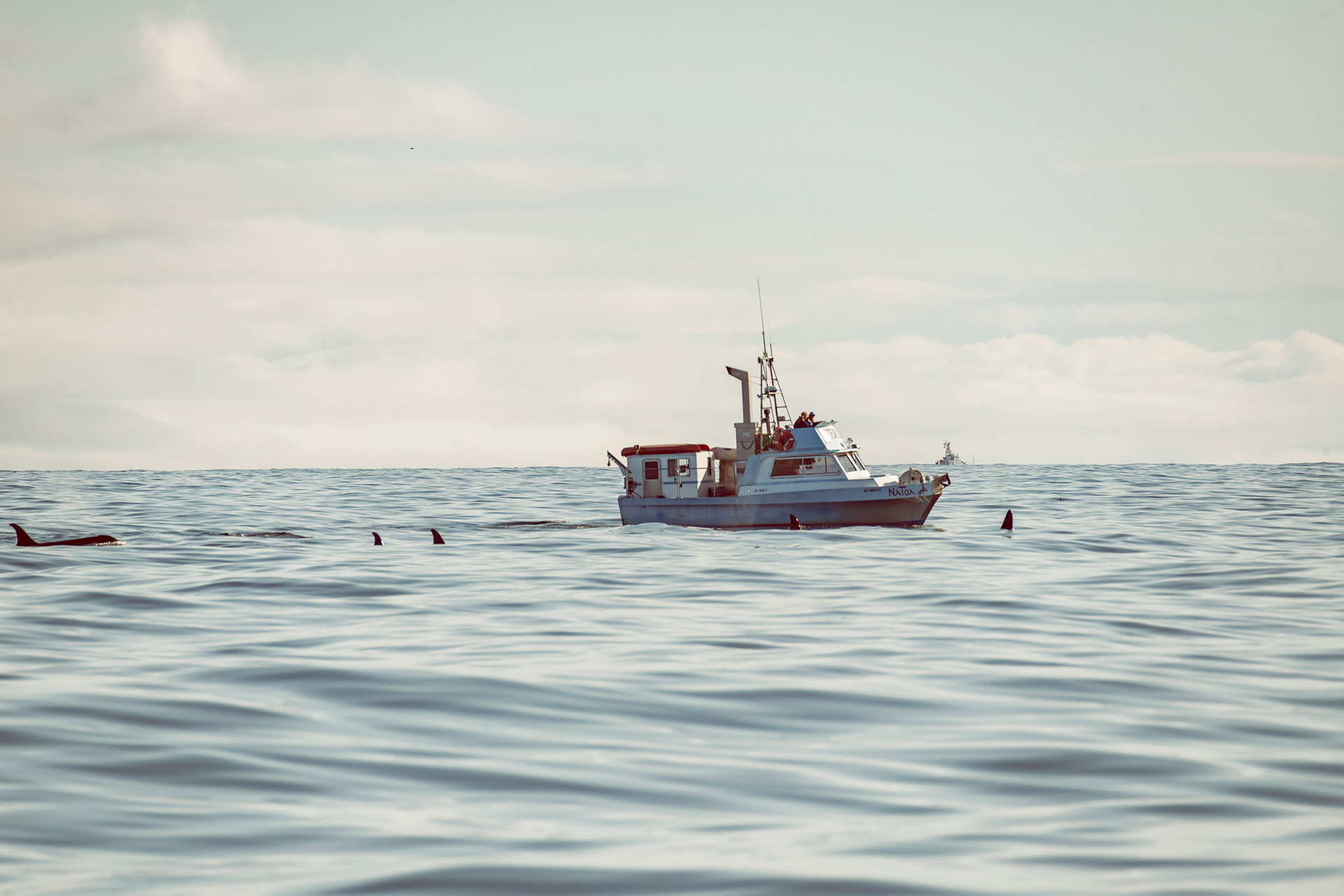
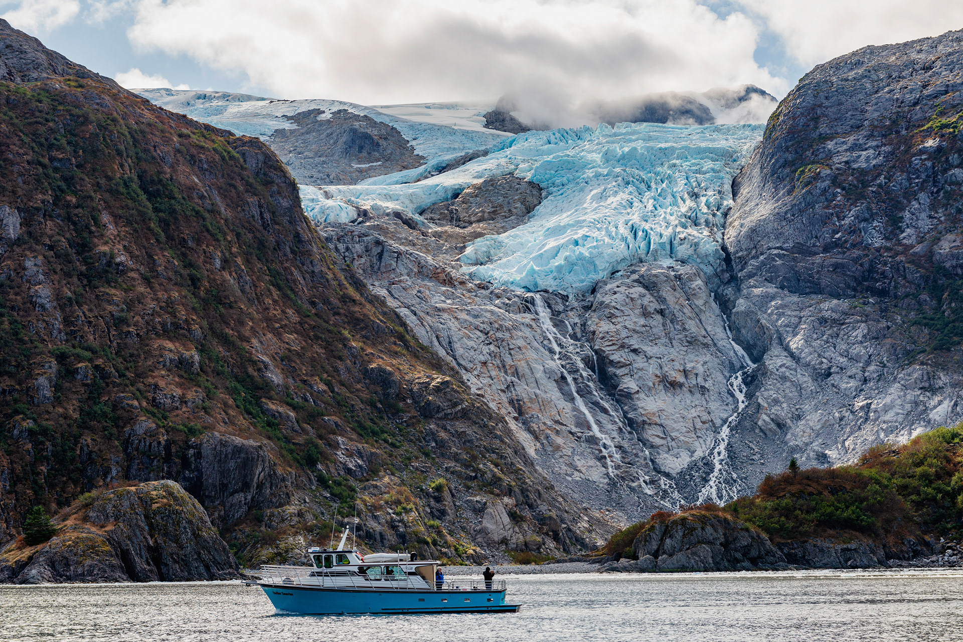
The big operators here are Major Marine Tours and Kenai Fjords Tours, and they run large boats on fixed routes. We booked something smaller instead, a wildlife and glacier tour run by Alaska Saltwater Lodging that caps at fifteen passengers. We got lucky. Ours was the last run of the 2019 season and there were seven people aboard including the captain, an older man who had been working these waters long enough to know where things would be. That is the whole argument for the small boat. A large vessel follows its schedule. Ours went where the animals were, stayed as long as we wanted, and turned around when something better came up on the radio. The day runs from eight in the morning until about five in the afternoon, and I would repeat the advice we were given: take the seasickness tablets even if you never get seasick.
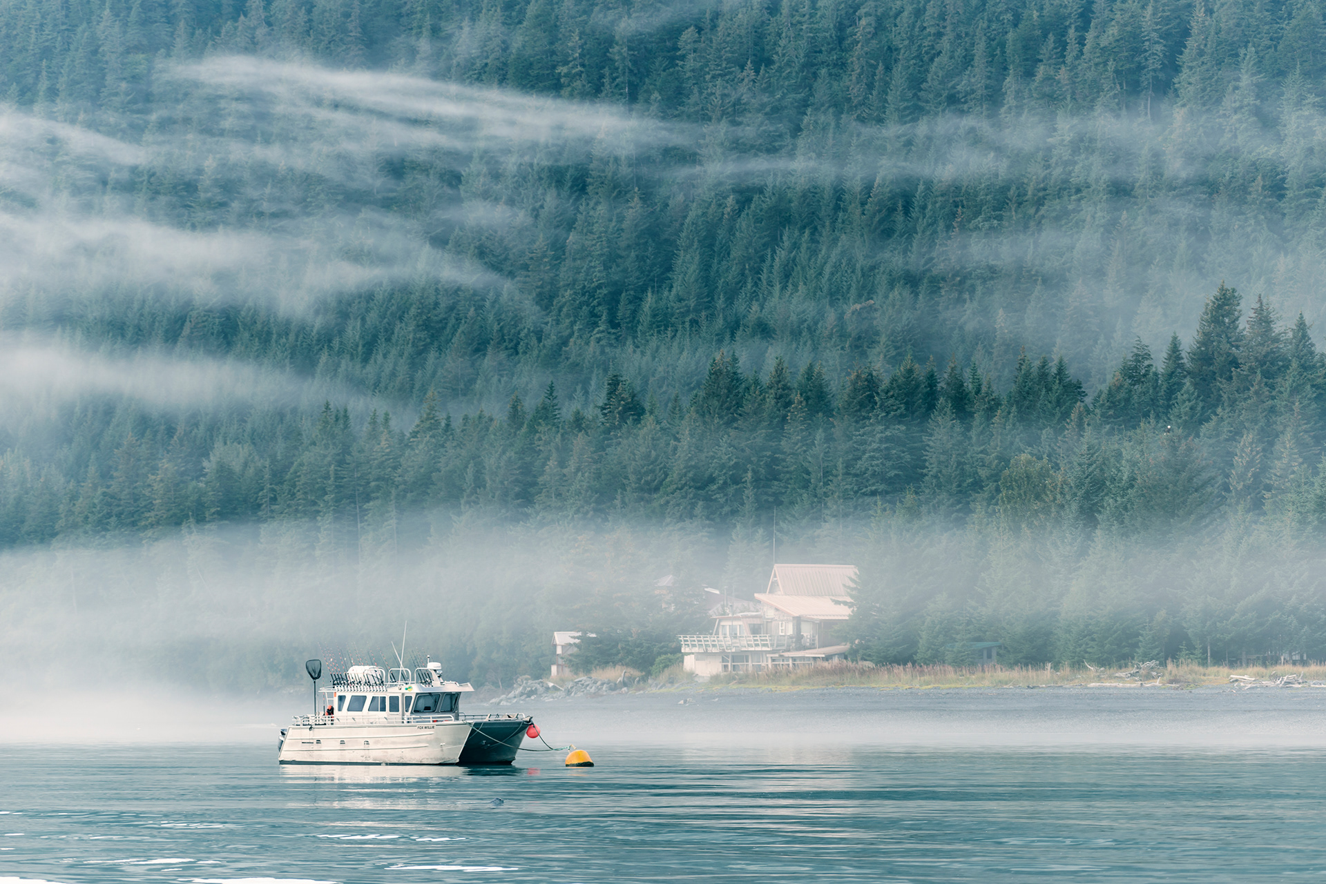
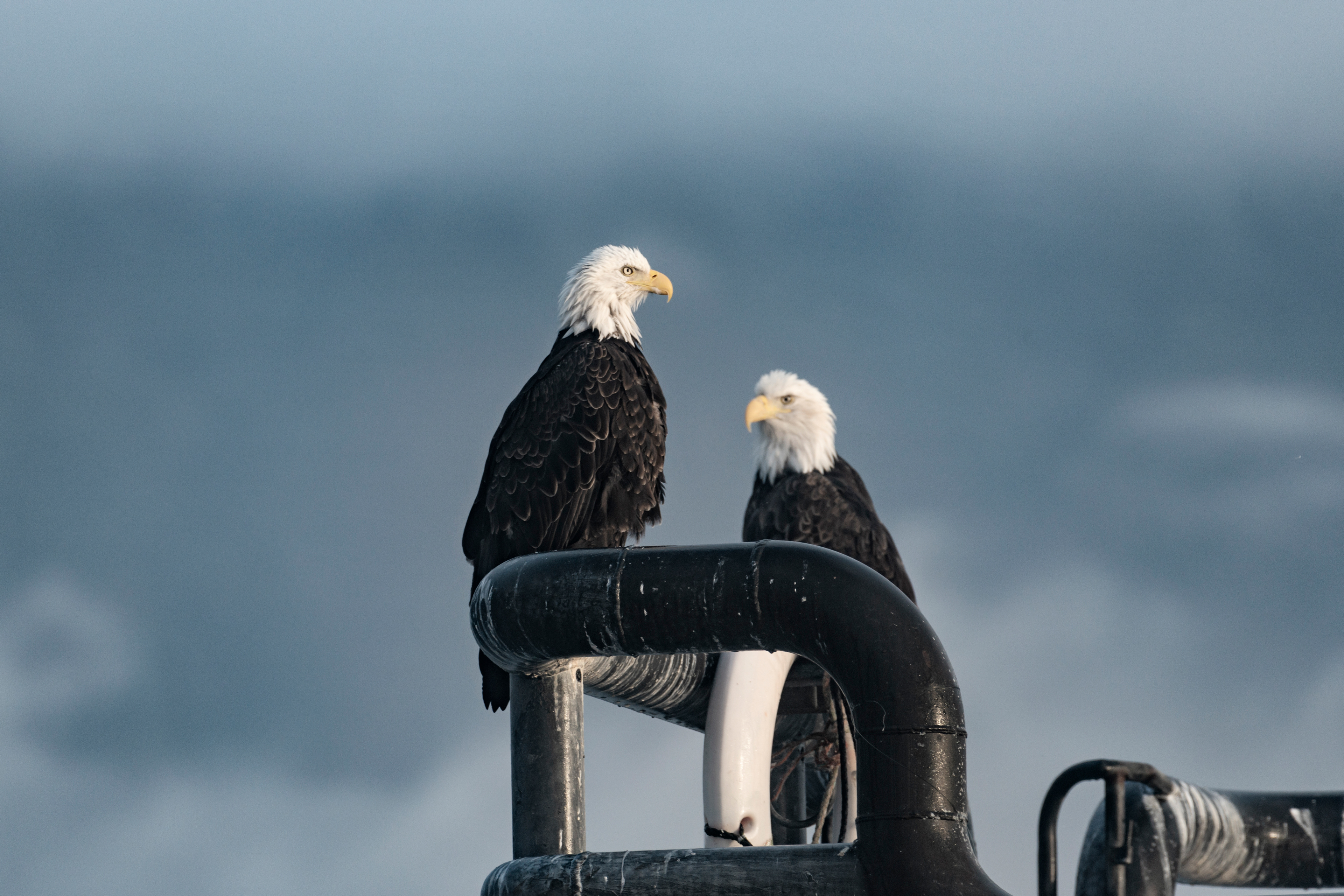
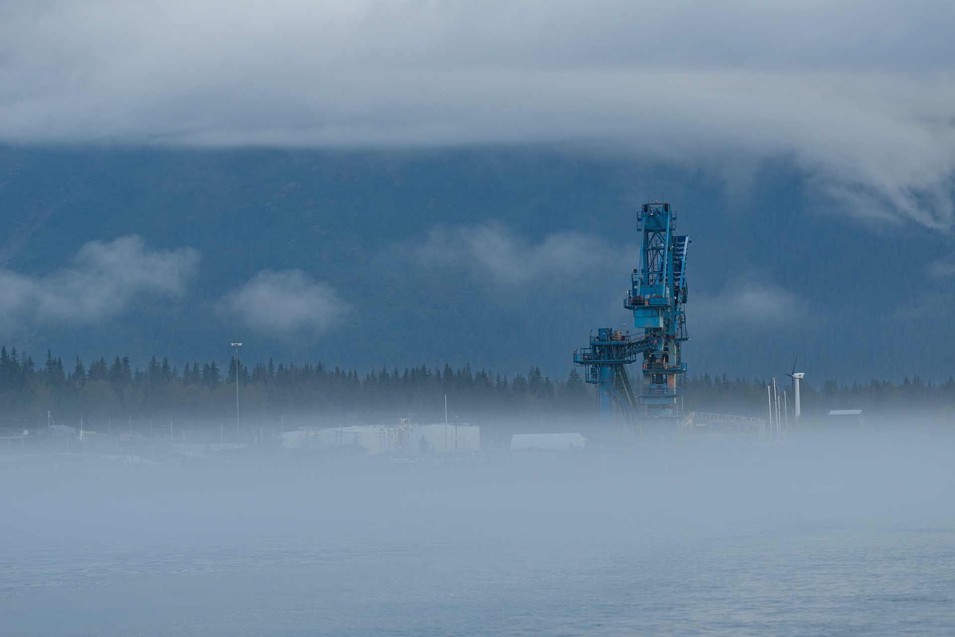
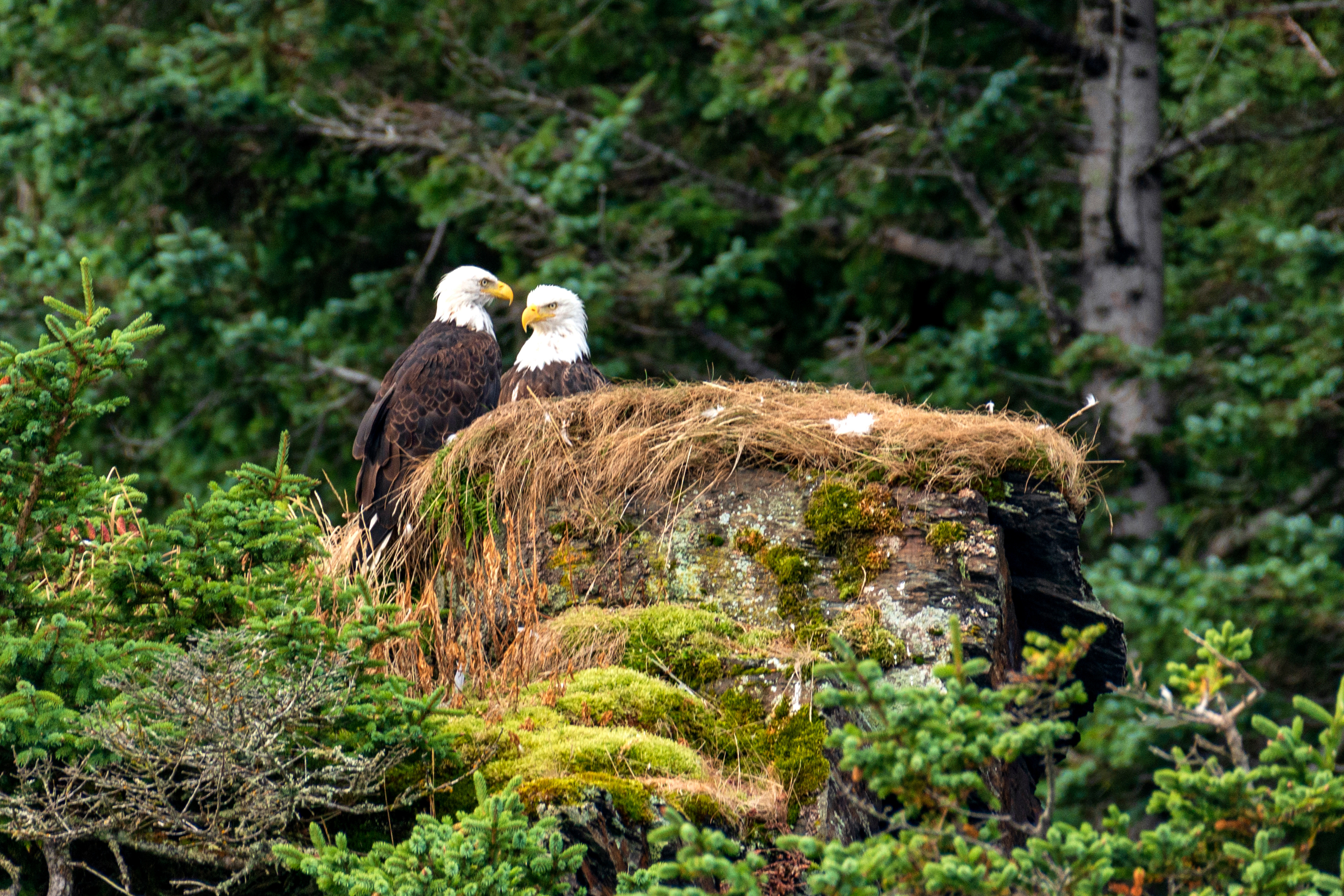
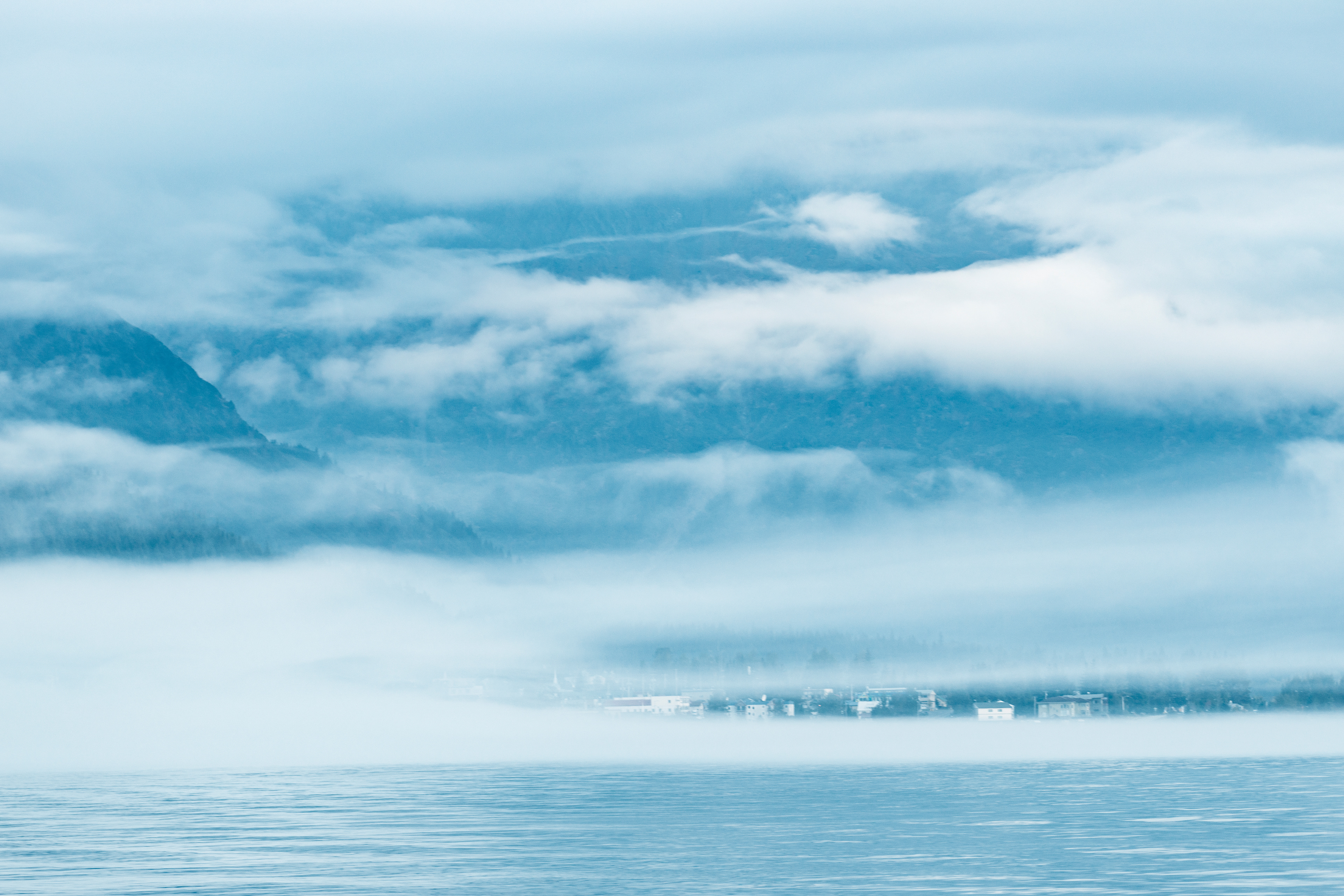
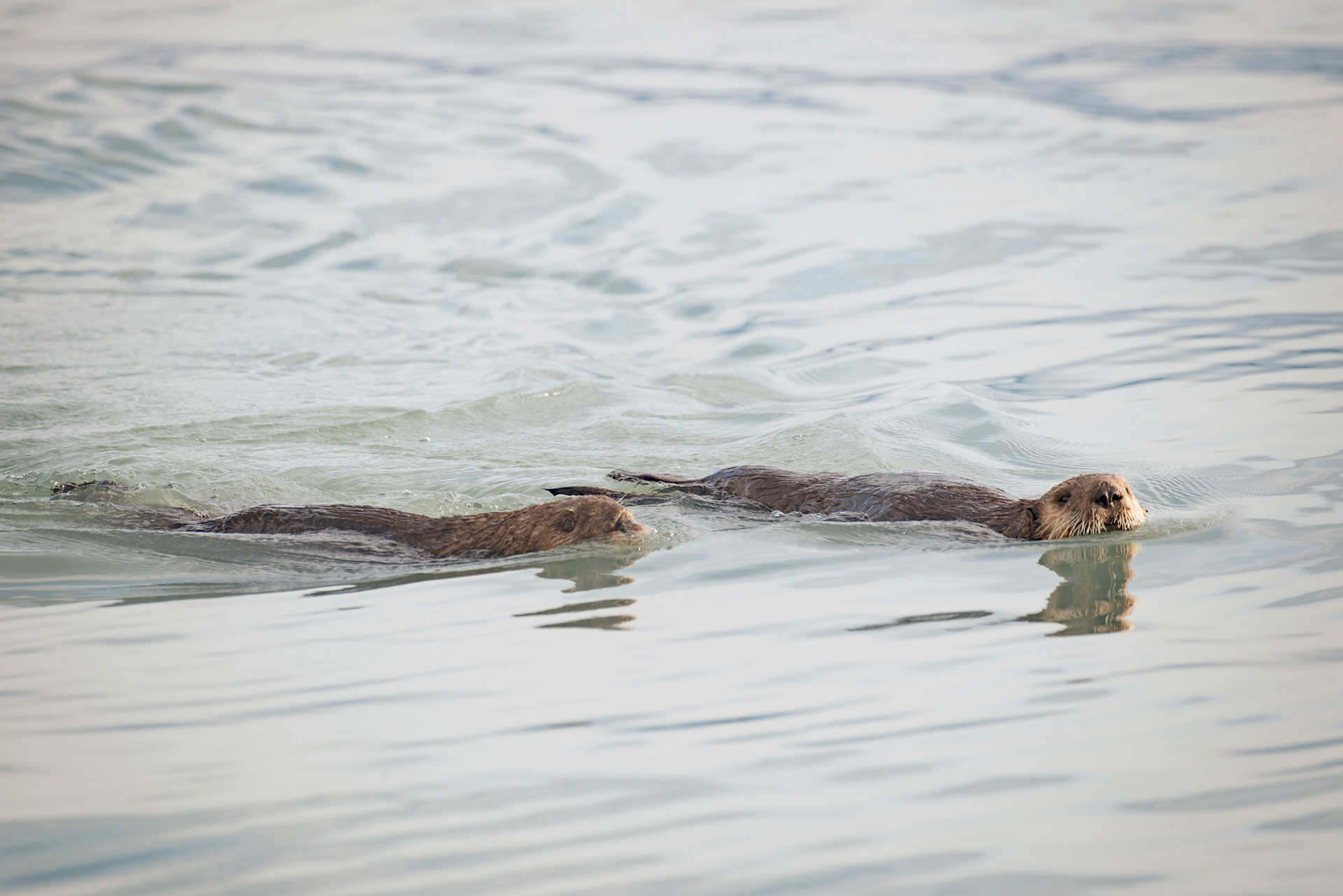
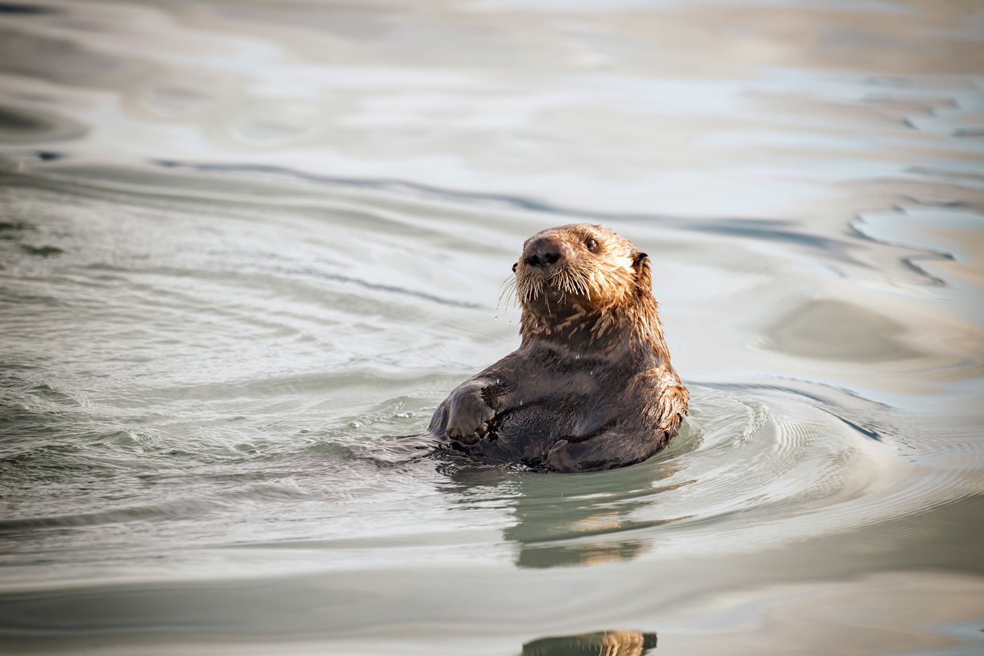
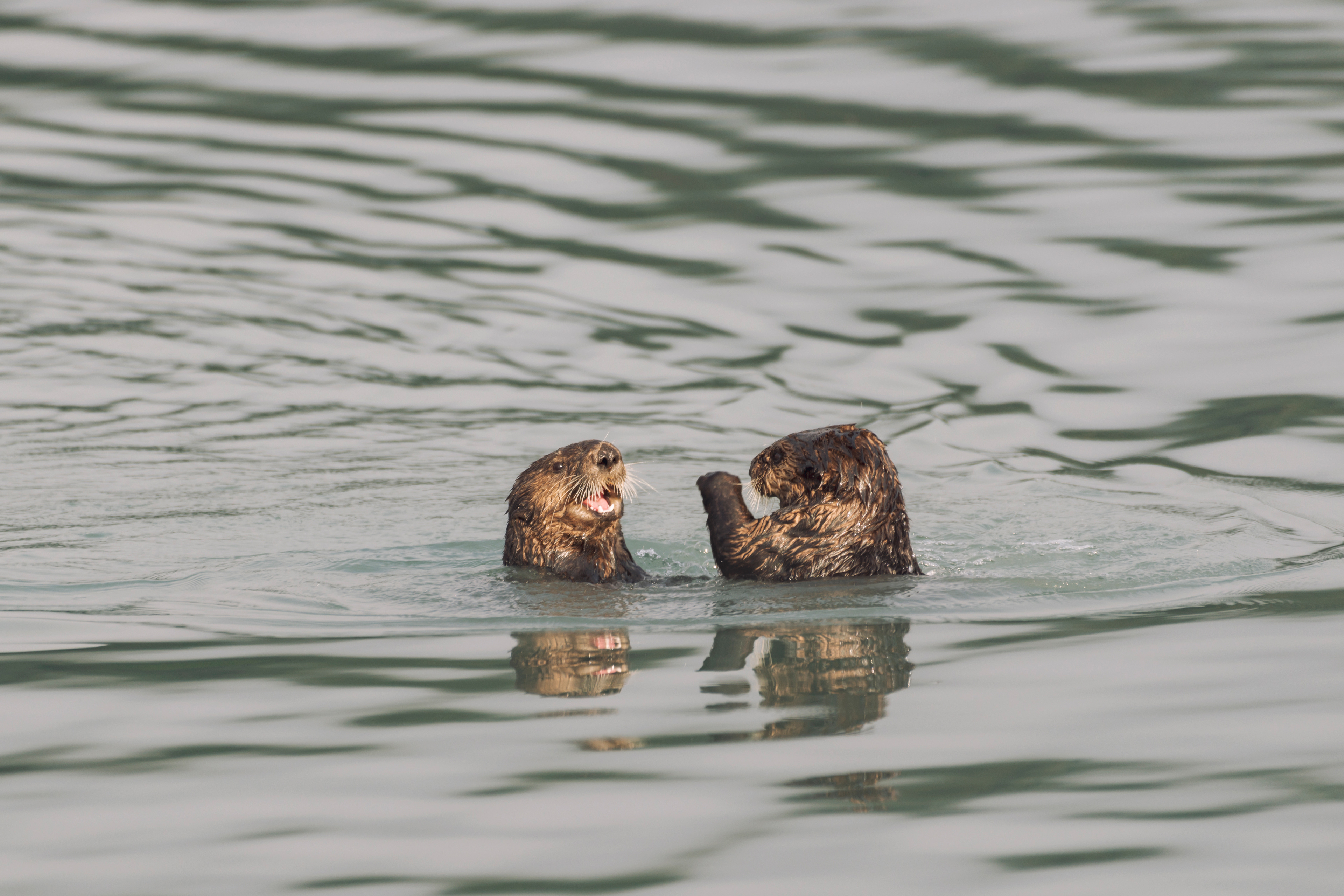
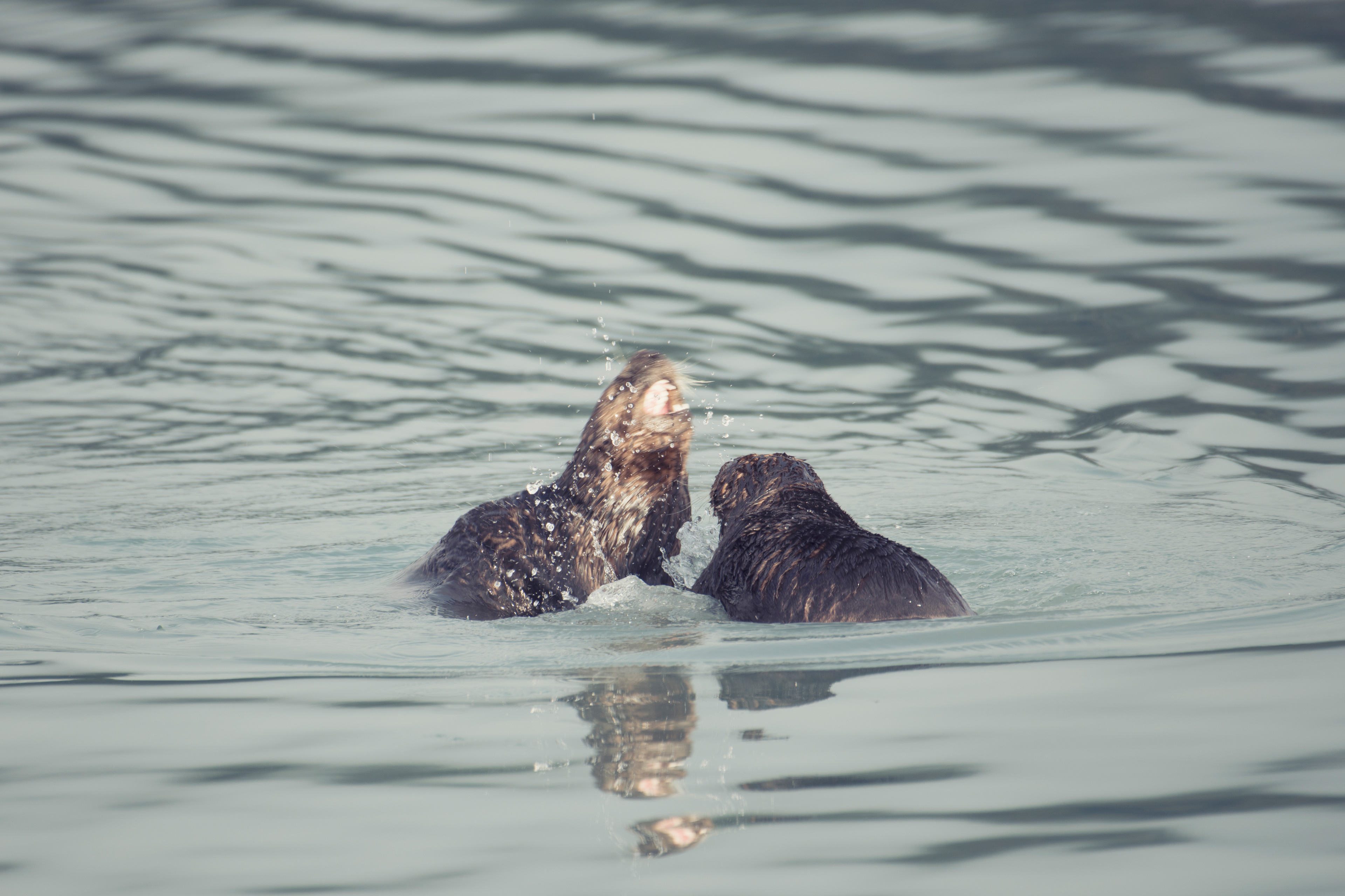
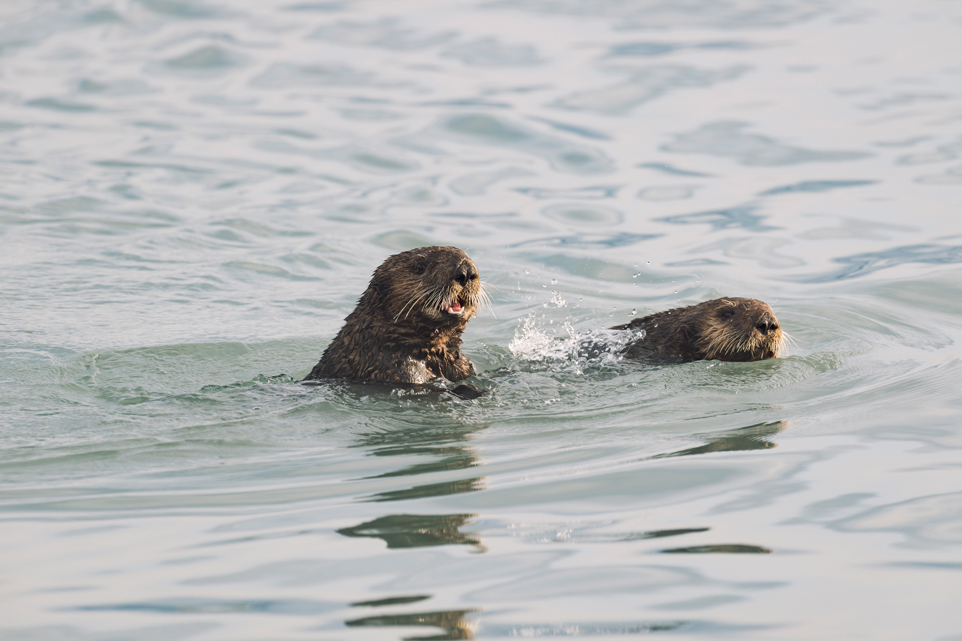
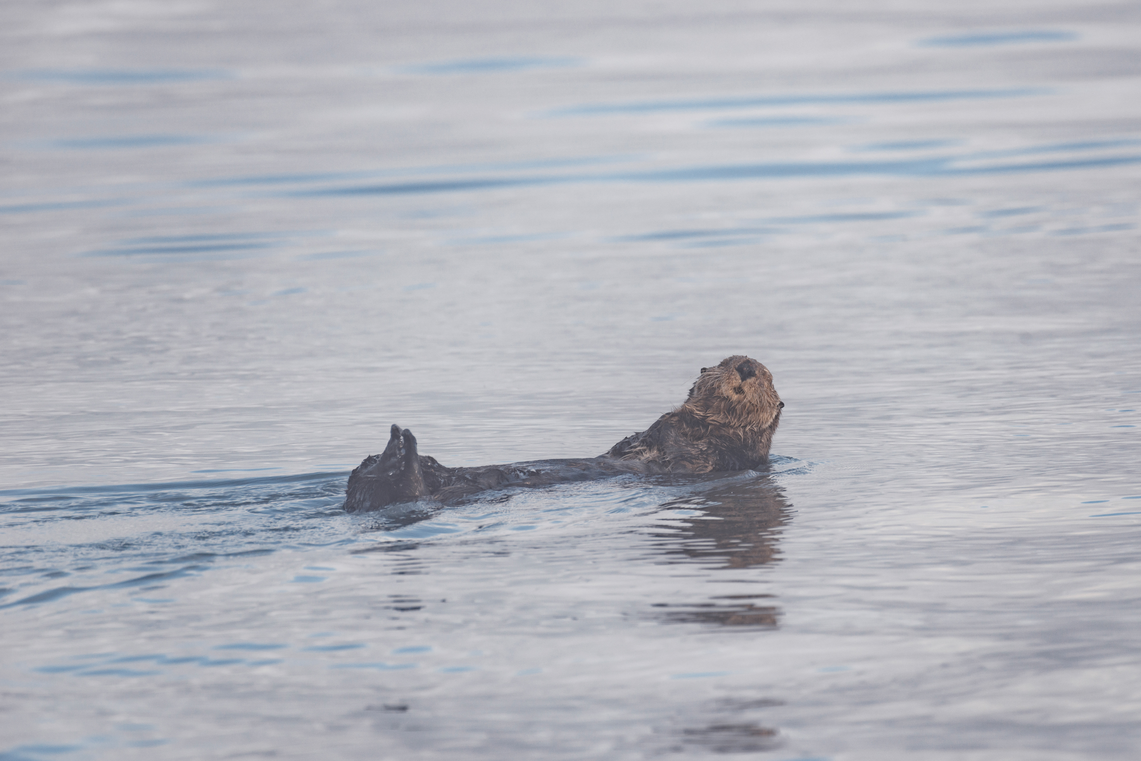
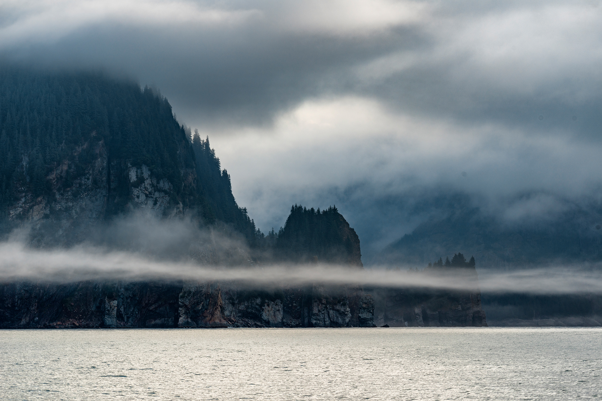
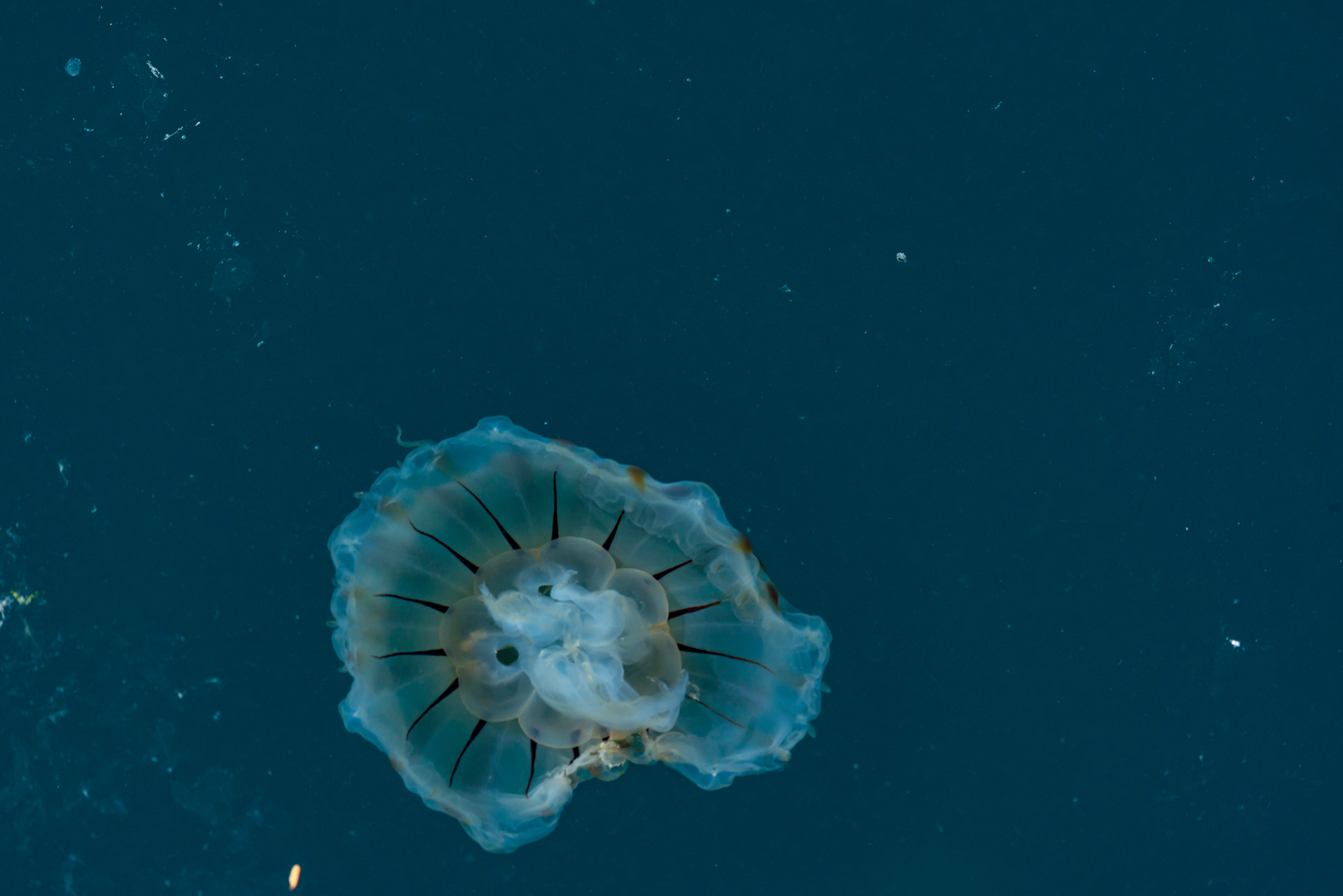
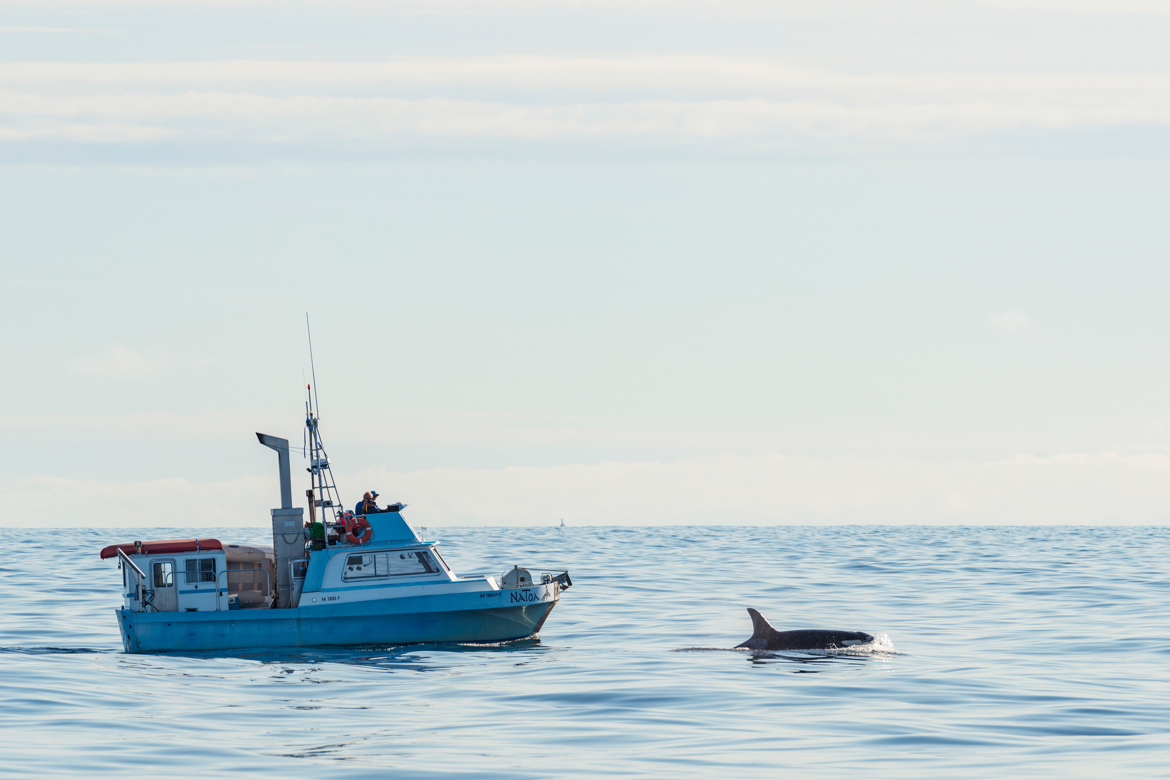
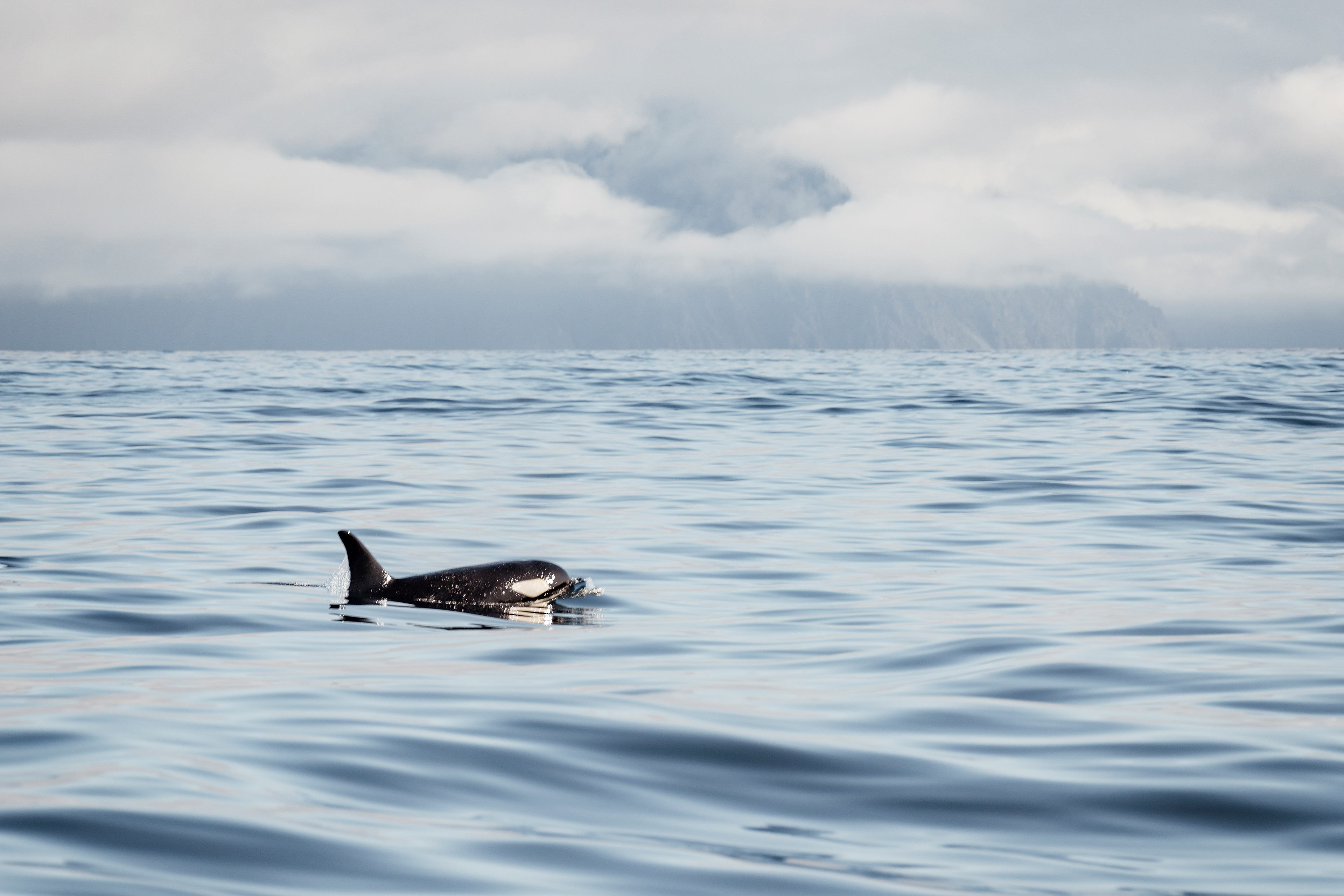
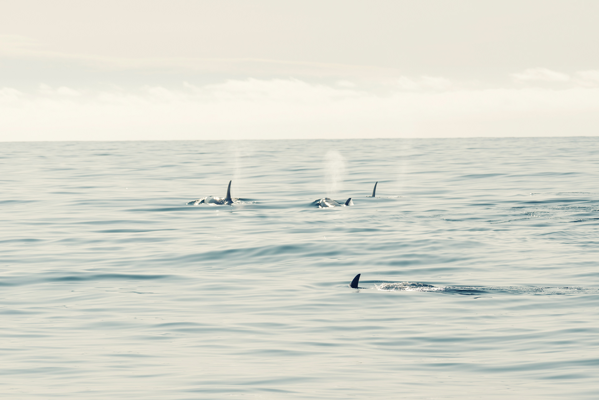
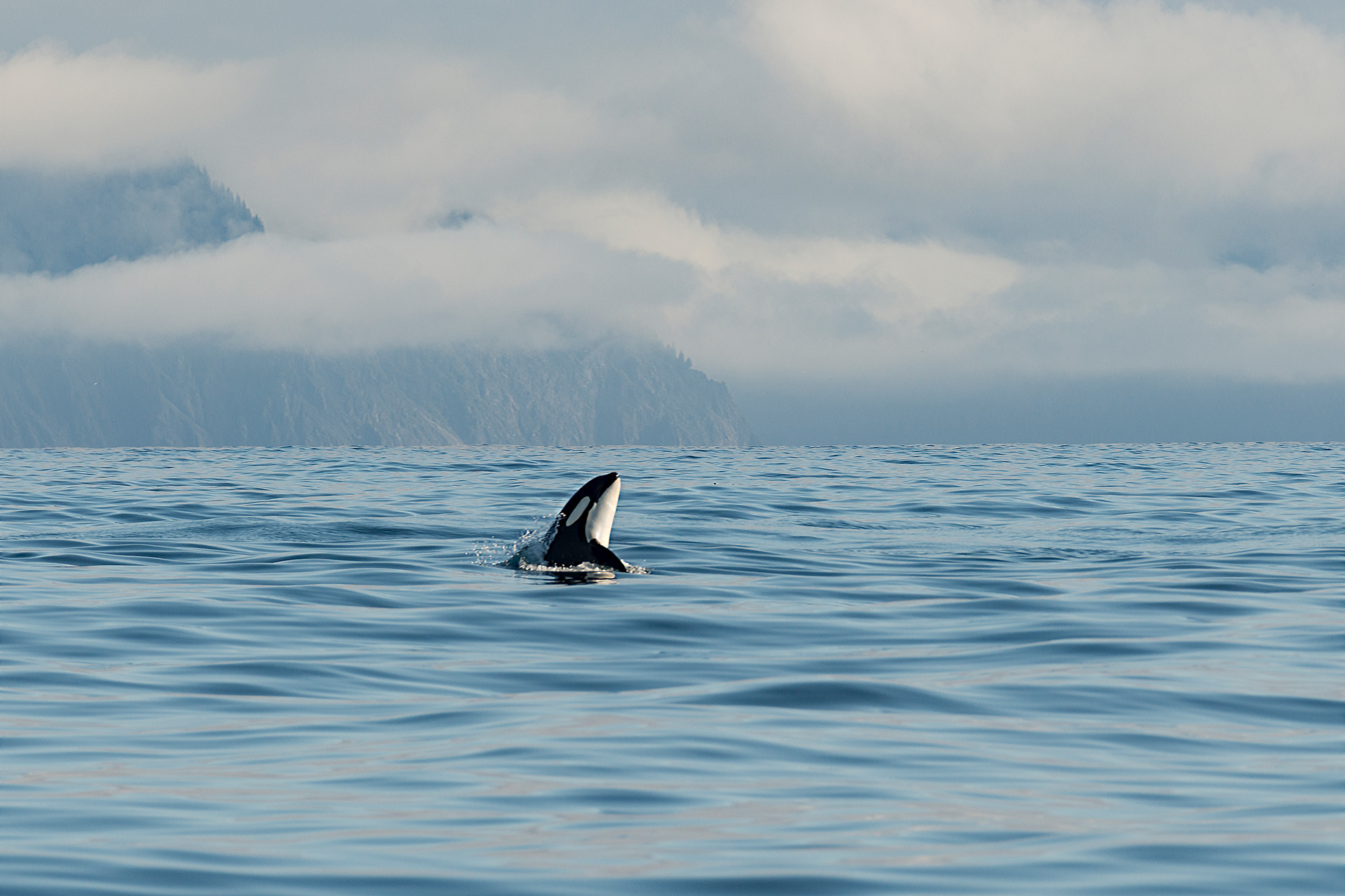
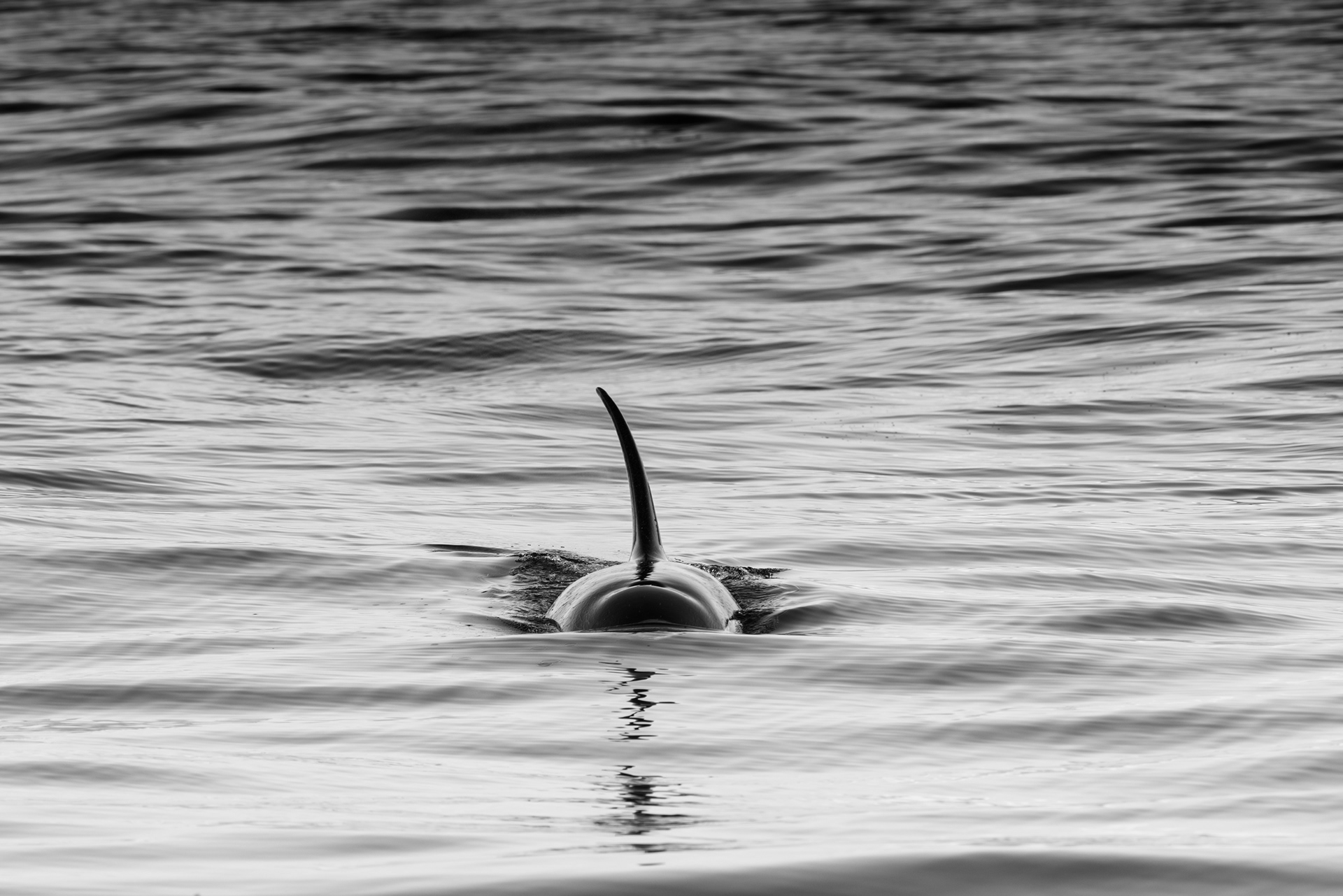
We left in fog. The harbor, the village below the mountains, the sun coming through the mist onto the water: all of it looked like ink on wet paper for the first hour. Ten minutes out we found two bald eagles. Shortly after, a raft of sea otters, which we watched for half an hour while they rolled, splashed, floated on their backs, and generally performed. Then more eagles, on the cliff, at the nest. We were on our way to look at the fjords when the captain took a radio call about killer whales and changed course. It took an hour to get there and the pod was still feeding when we arrived. Killer whales are not whales but the largest of the dolphins, and they sit at the top of the marine food chain, and they were completely indifferent to us. They surfaced around the boat for a long time. I tried to photograph one breaching and got a fraction of it, which is the best I can do.
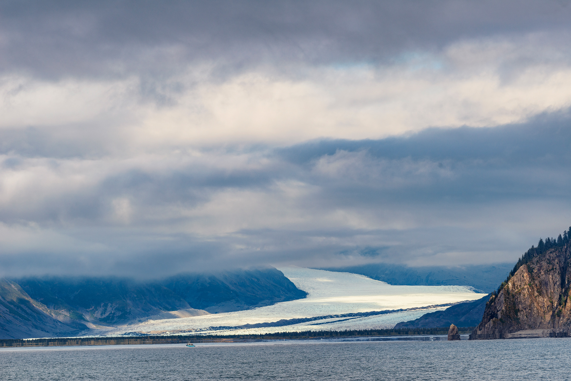
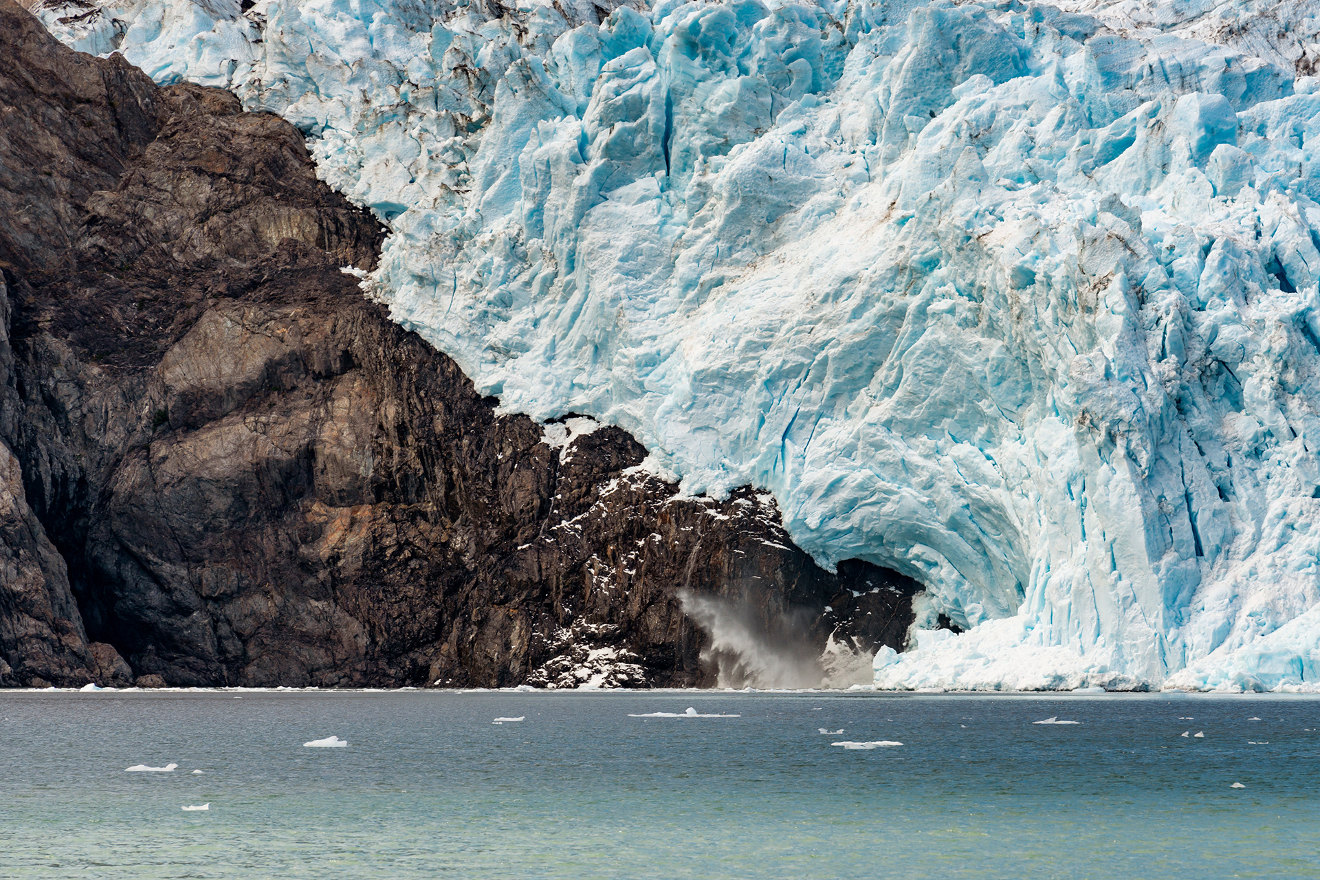
The last stop was Holgate Glacier, a tidewater glacier at the head of a long fjord. The captain told us that this one, unusually, has not been retreating in recent years but advancing slightly. Then he shut off the engine and let the boat drift among the floating ice, and everyone went quiet and waited. A section of the ice sheared off of the glacier and dropped into the water, and the gulls that had been standing on the floating ice all took off at once, and the swell reached us a few seconds later and lifted the boat.
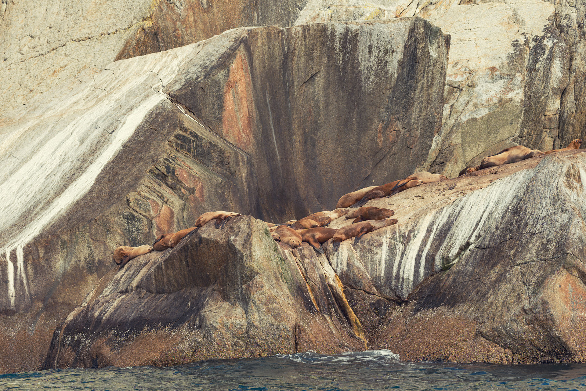
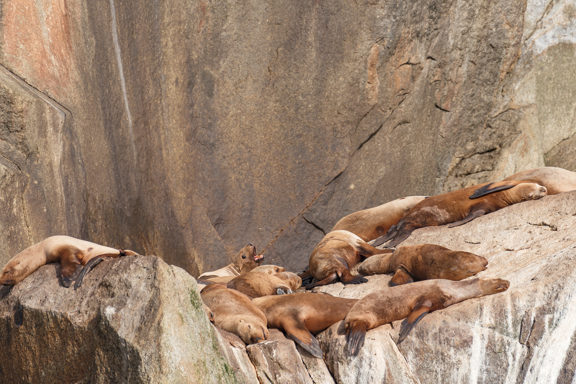
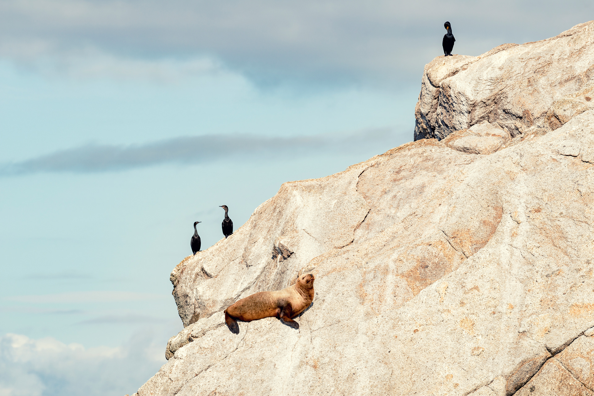
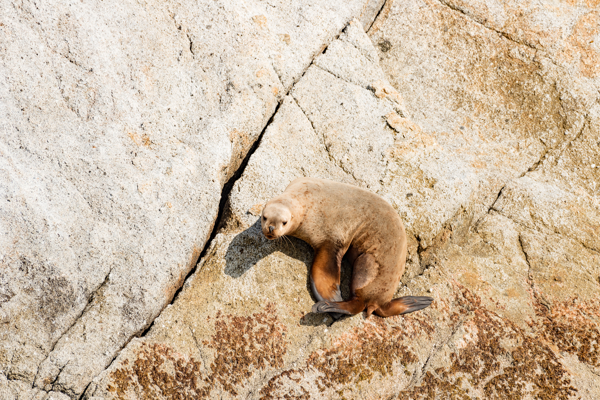
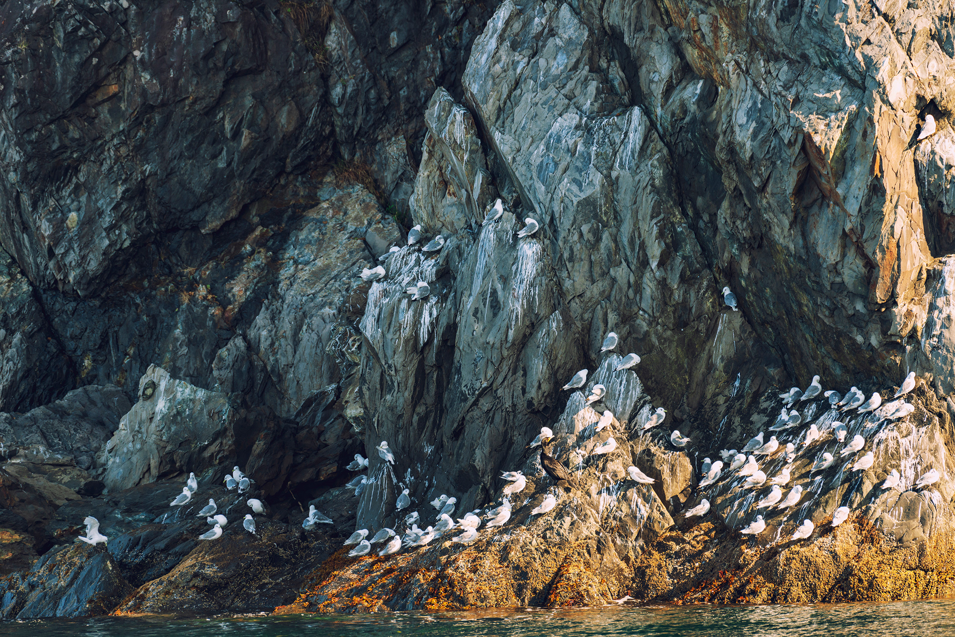
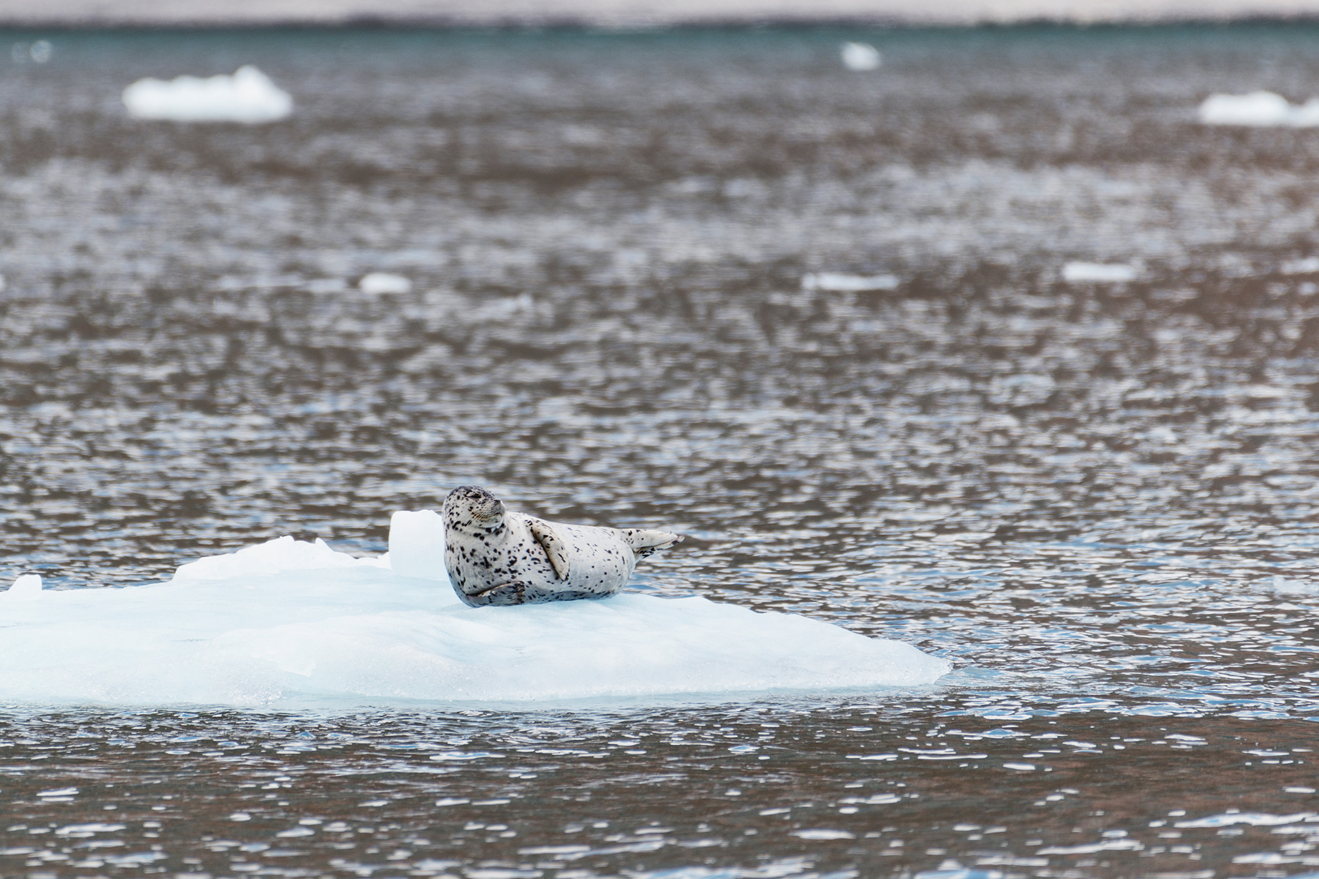
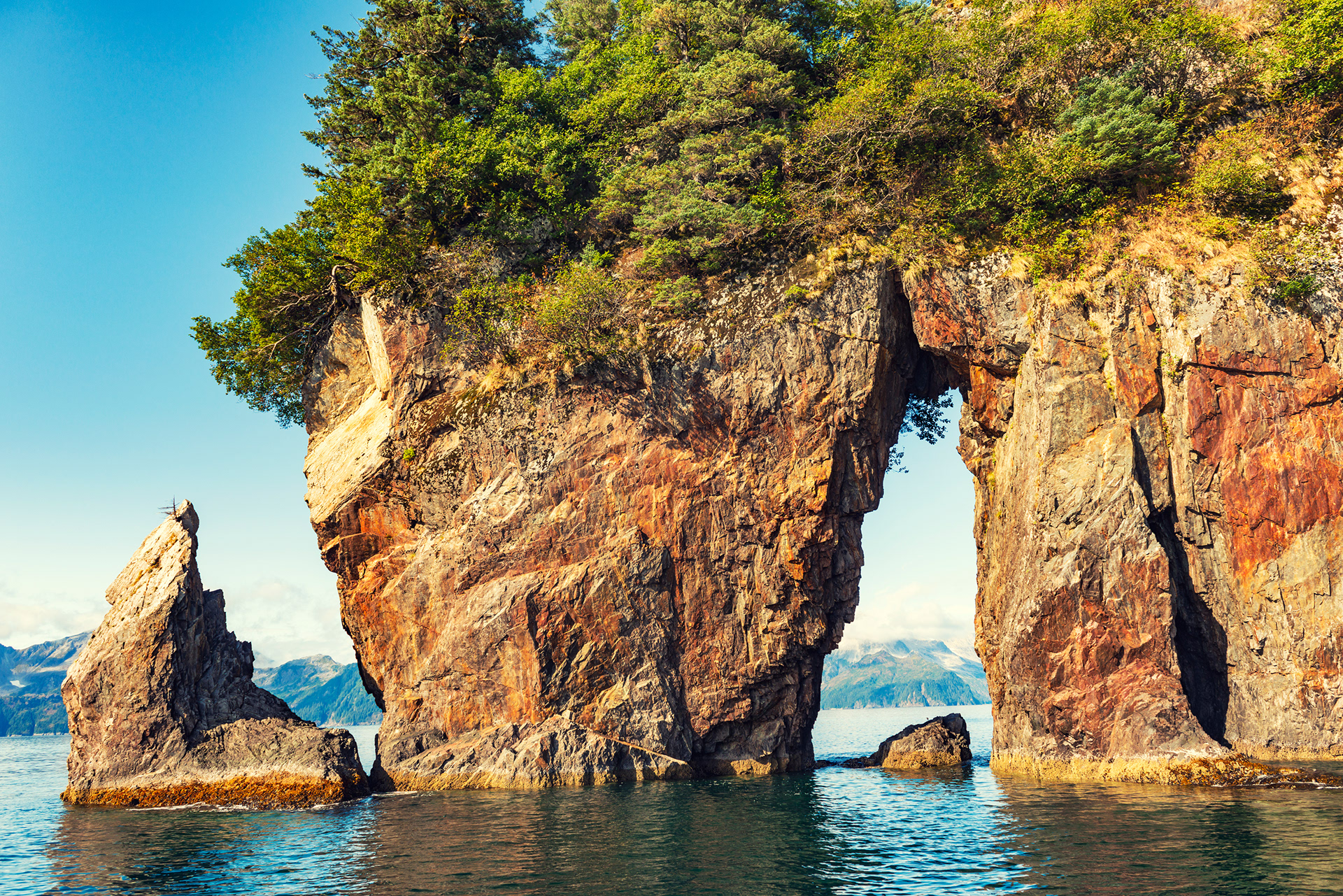
On the way back we found a harbor seal lying on its side on a piece of ice, sunbathing with an air of complete entitlement, and seven people with cameras behaved like paparazzi. Further on, Steller sea lions were hauled out on the rocks, sharing them with cormorants. There was a horned puffin, briefly. There were cliffs covered in nesting gulls, a sea cave, and moss growing on a rock wall in patterns that looked deliberate.








The Harding Icefield Trail
Kenai Fjords is one of only three national parks in Alaska you can drive into, and its single road ends at the Exit Glacier visitor center. The Harding Icefield Trail starts near there: 4.1 miles up, with about 1,200 meters of elevation gain, which is the entire difficulty of it. There is nothing technical. It is just a great deal of climbing.
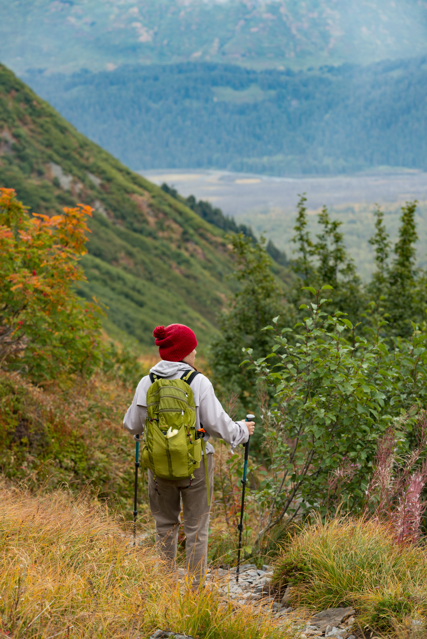
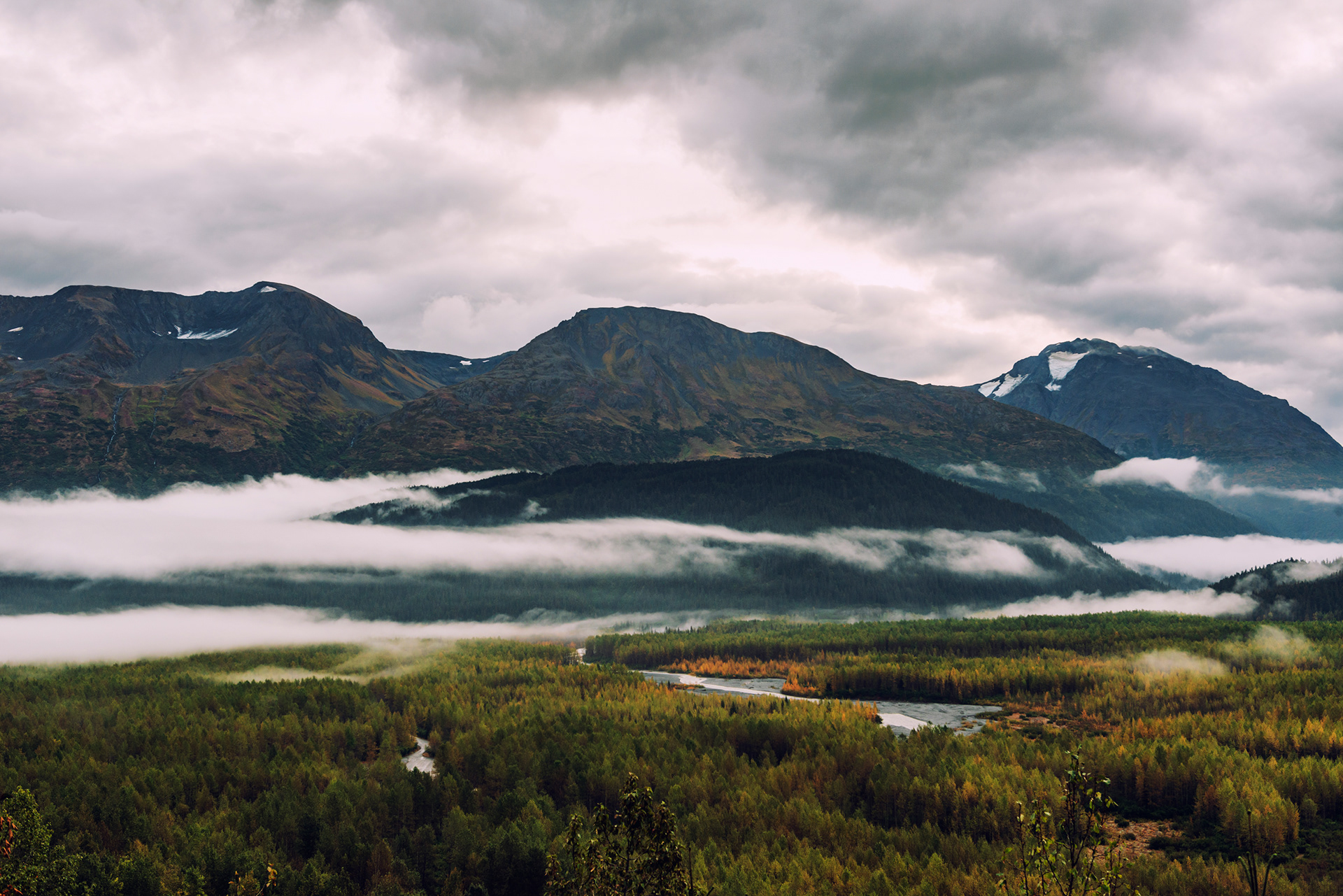
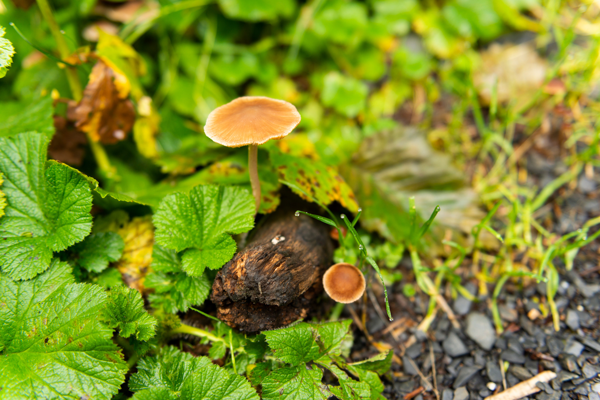
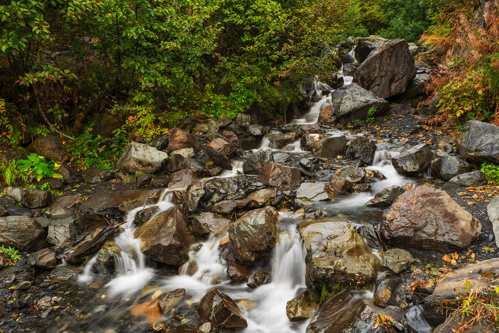
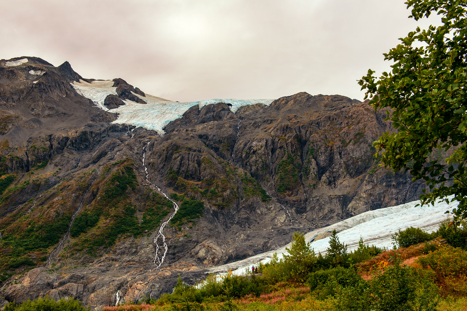
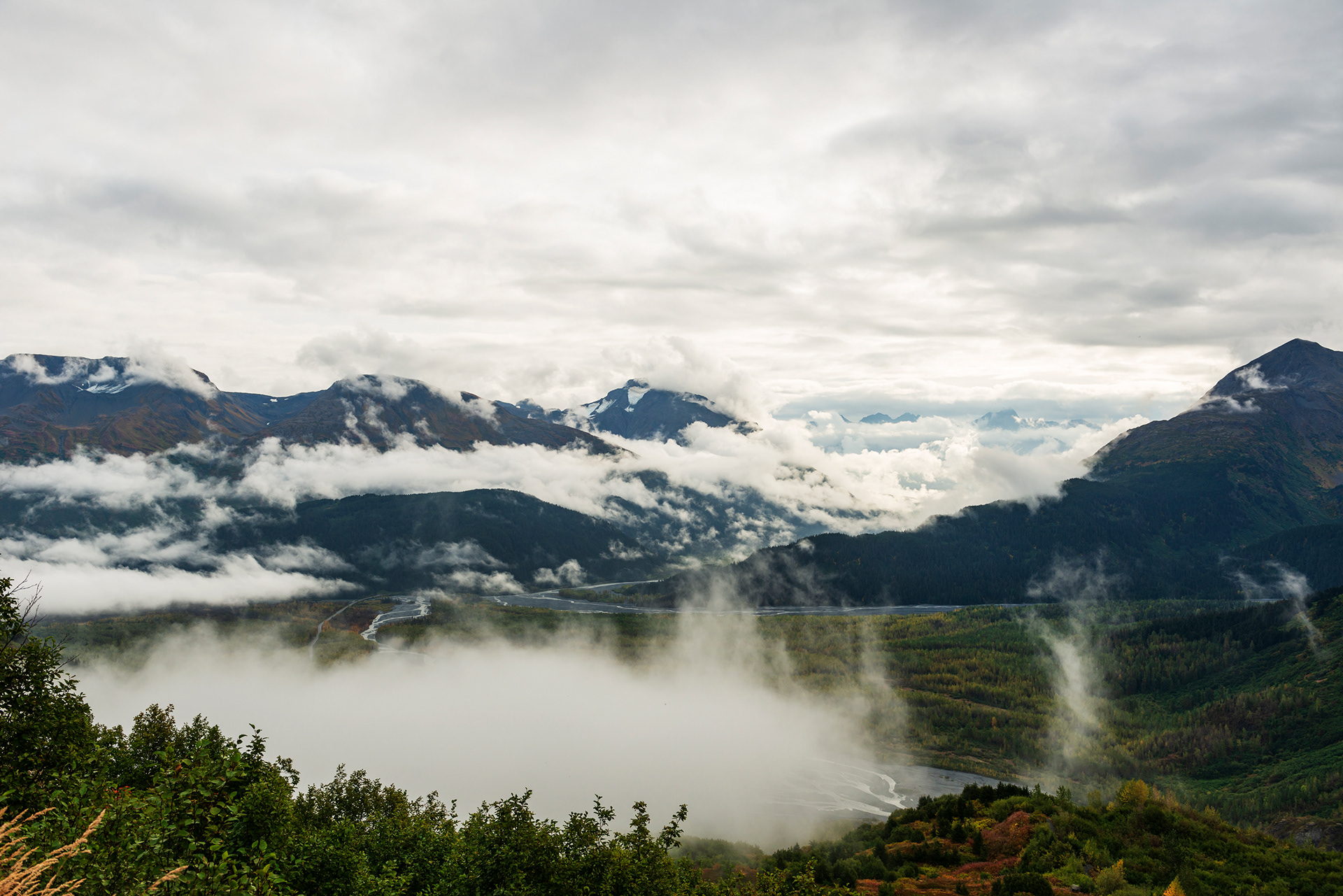
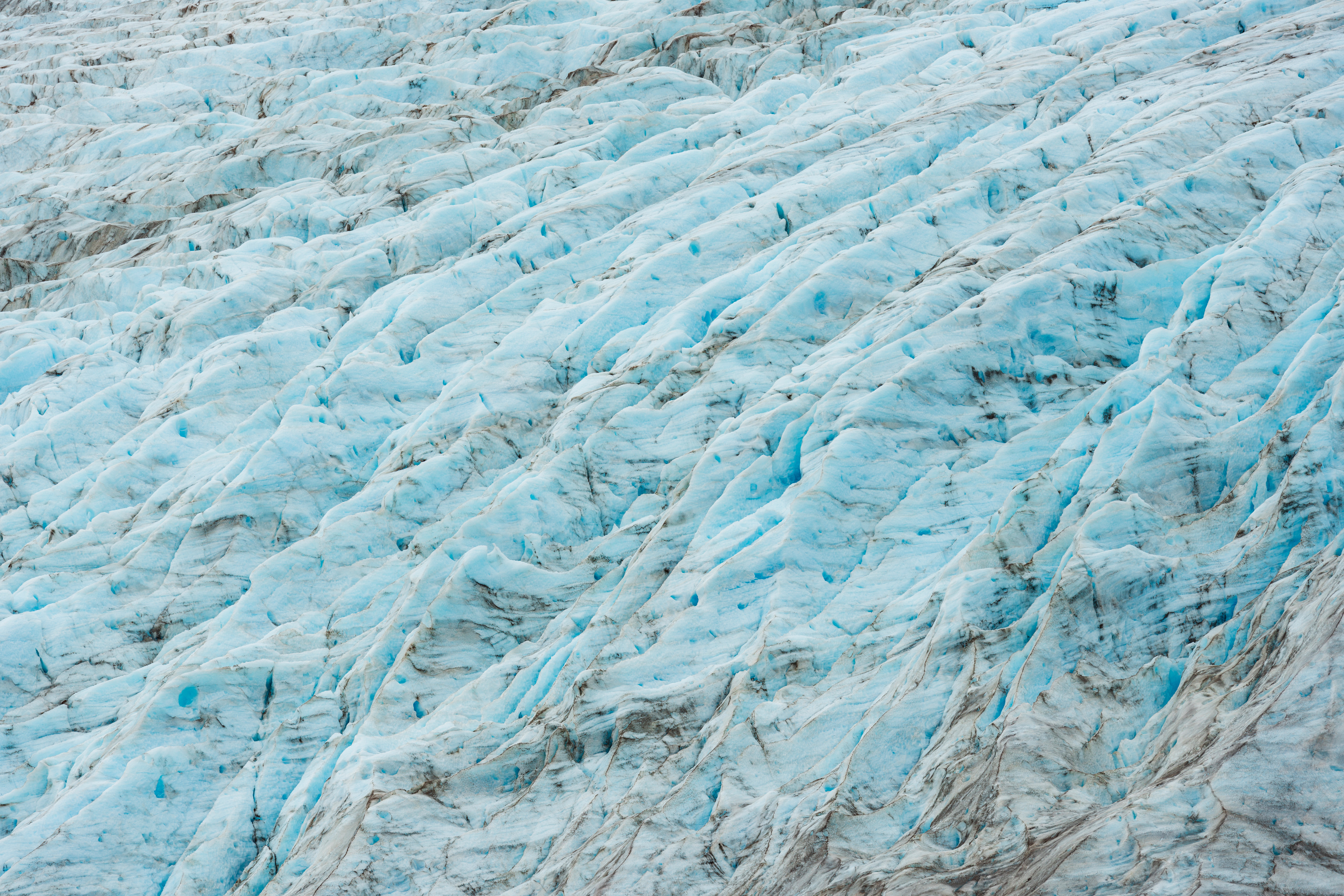
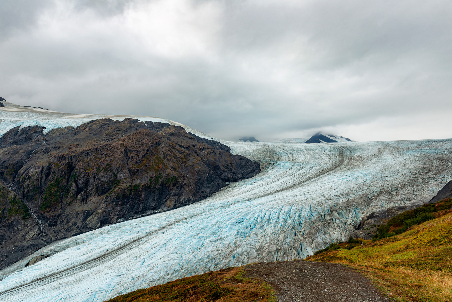
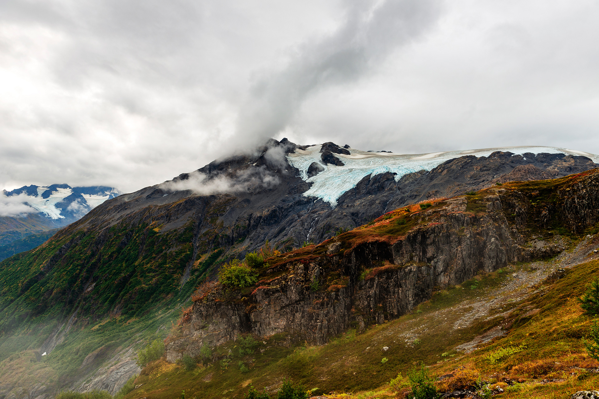
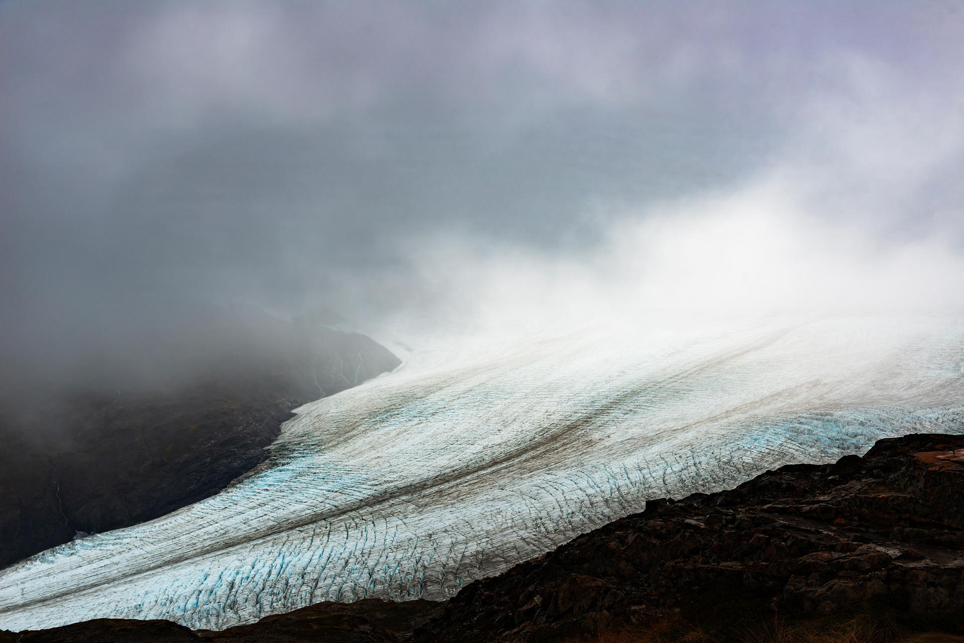
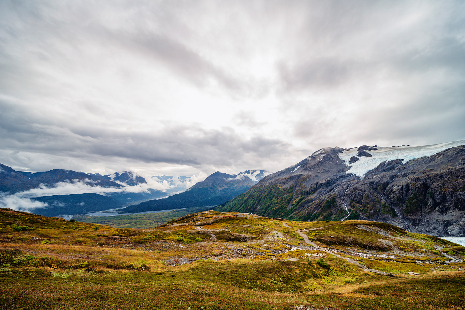
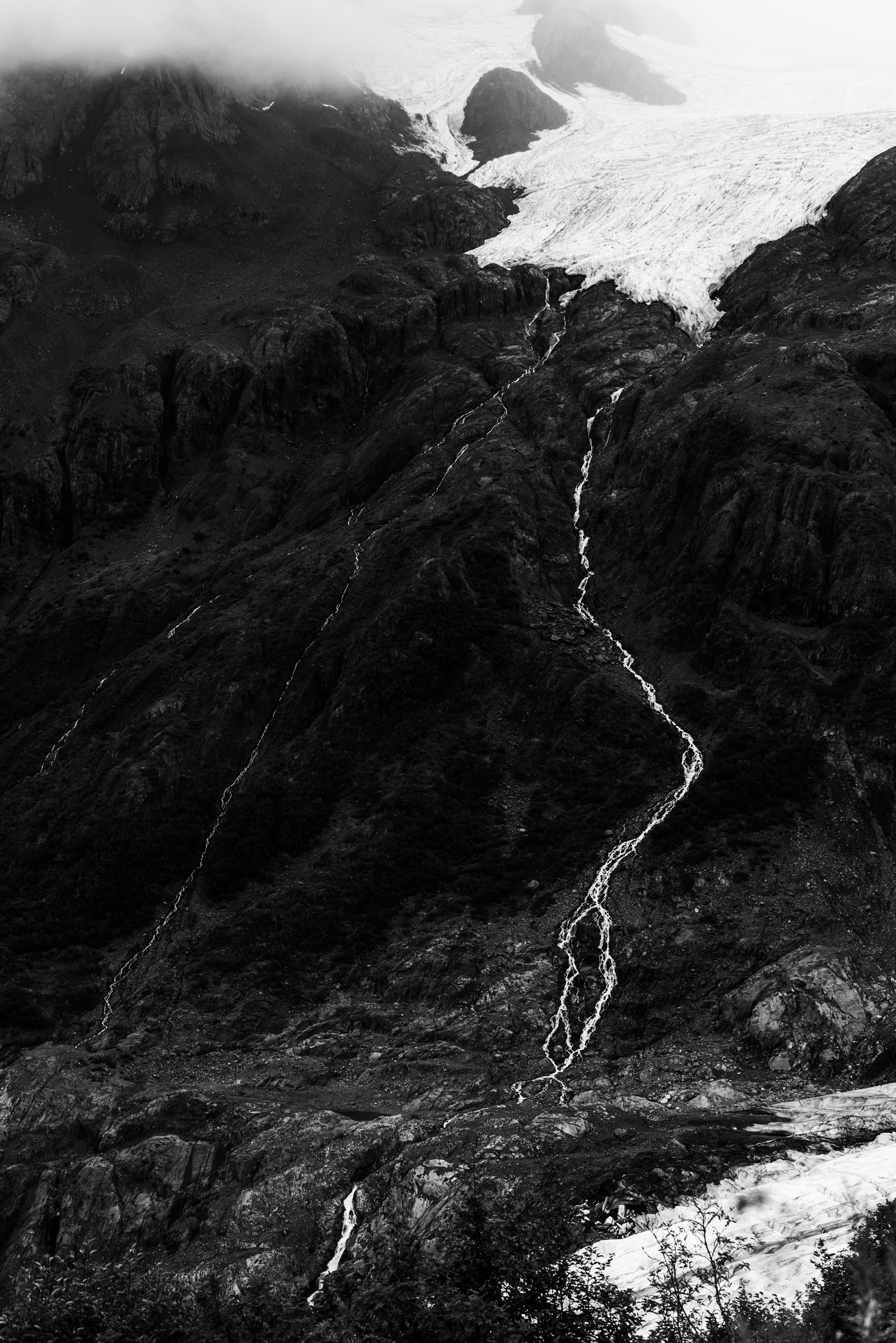
The Harding Icefield is the source of dozens of glaciers, Exit Glacier among them, and it is enormous. The trail is essentially a tour of ecological zones stacked on top of each other: cottonwood and alder at the bottom, then a wooden bridge over a clear stream coming down off the mountain, then meadow, then heather, then bare rock. Mushrooms grow in the wet lower section. Fog rises out of the valley below you all morning. Exit Glacier is beside you for most of the climb, and from above you can read it. The flow lines, the crevasse patterns, the way meltwater has cut the rock on either side into matching grooves. It is the clearest lesson in how glaciers work that I have had.
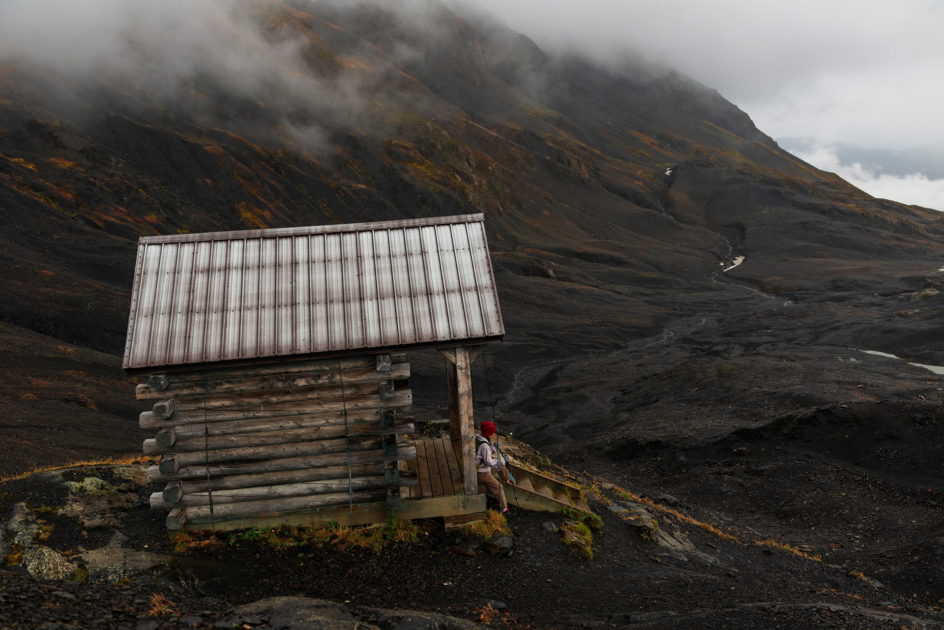
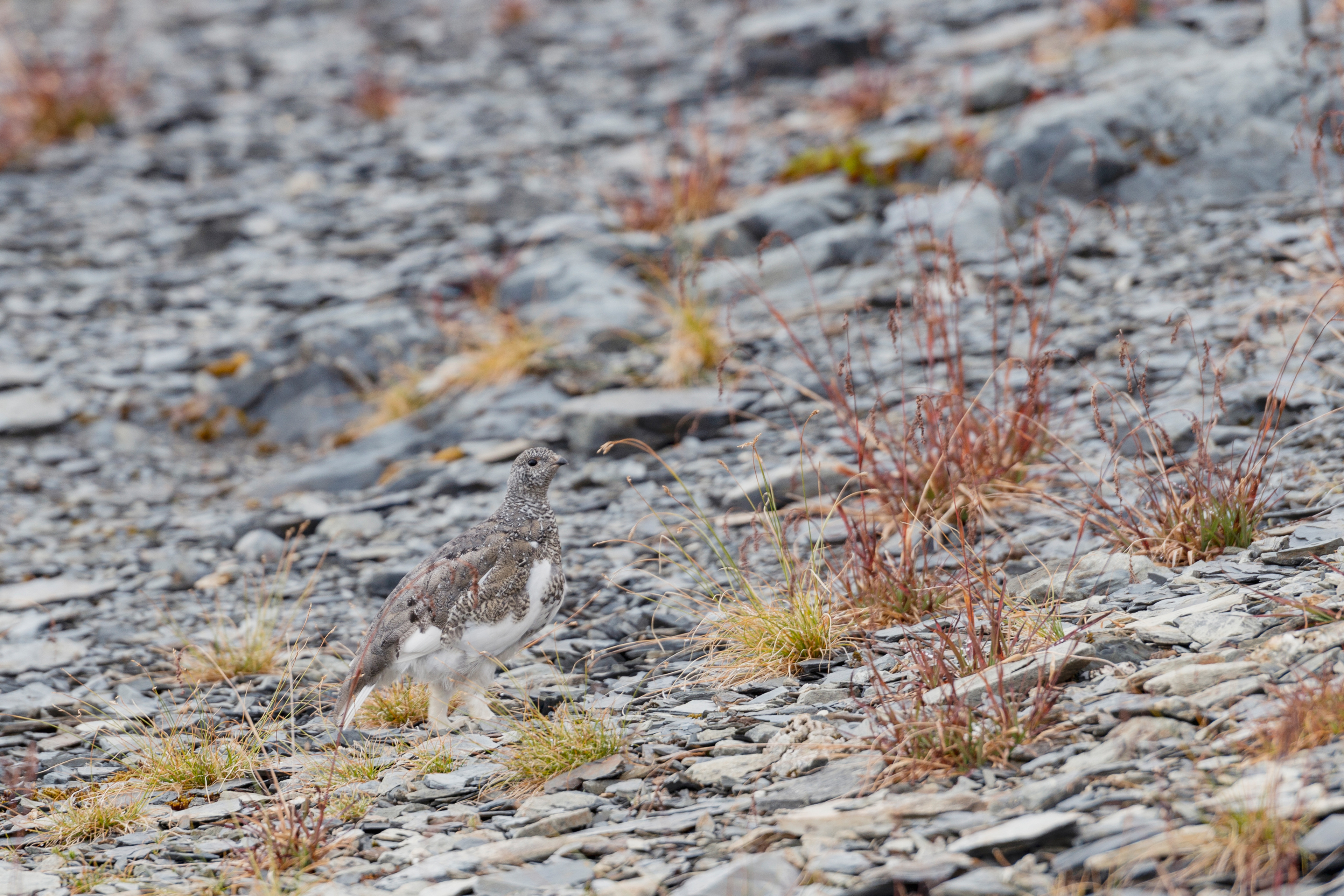
Higher up the vegetation thins and what is left hides. We heard a rough call in the rocks and found rock ptarmigan, which are the same grey as the stone they stand on and which we would never have seen otherwise. They are nervous and they ran as soon as we moved. There are bears on this trail, so we carried spray, as we had all trip. We never needed it. There is a small emergency shelter near the top, and when you see it you are nearly there. The weather did not cooperate: the icefield was completely under cloud when we reached the end of the trail, and we saw very little of what we had climbed for. It happens. Standing at the edge of an icefield you cannot see is still standing at the edge of an icefield.
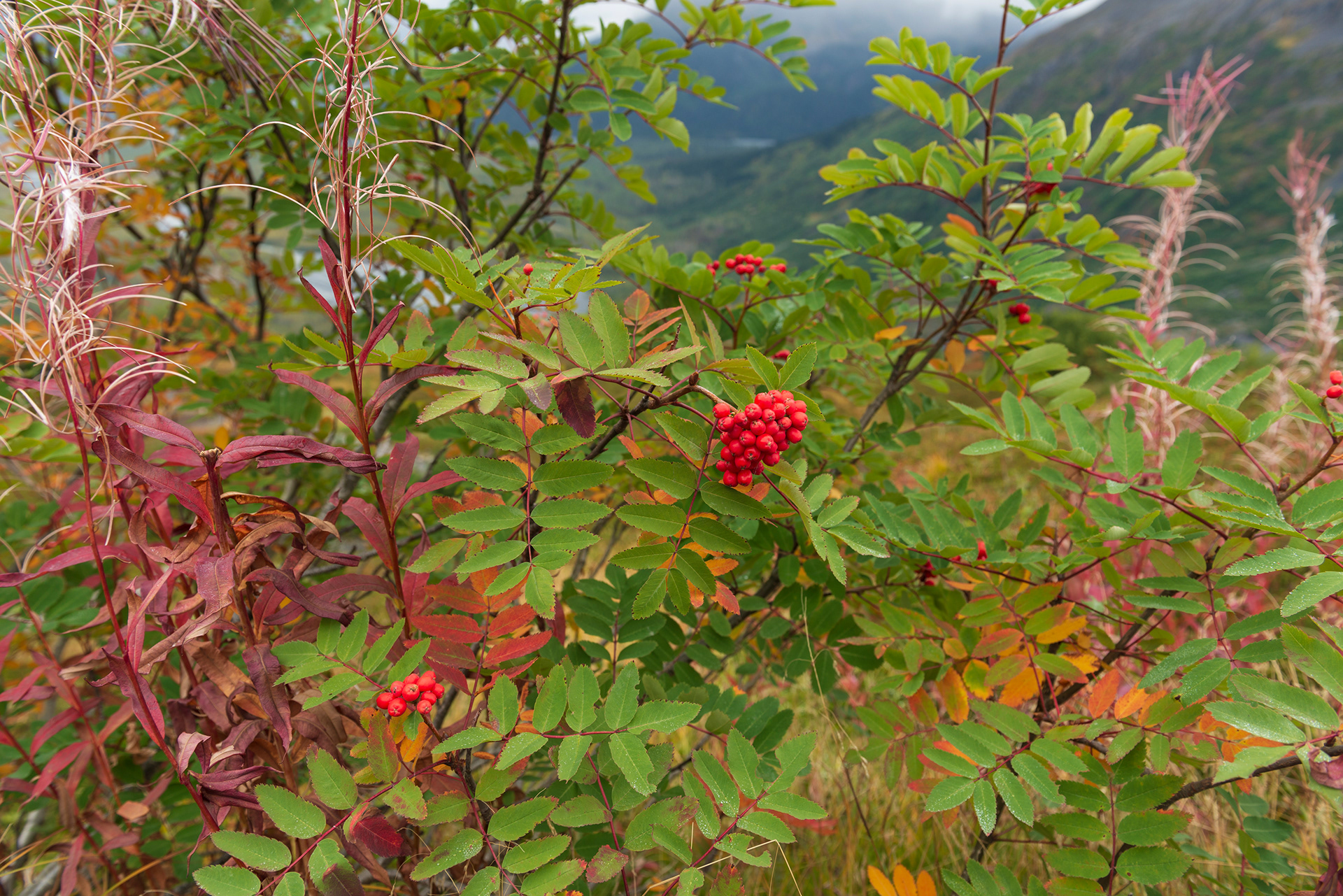
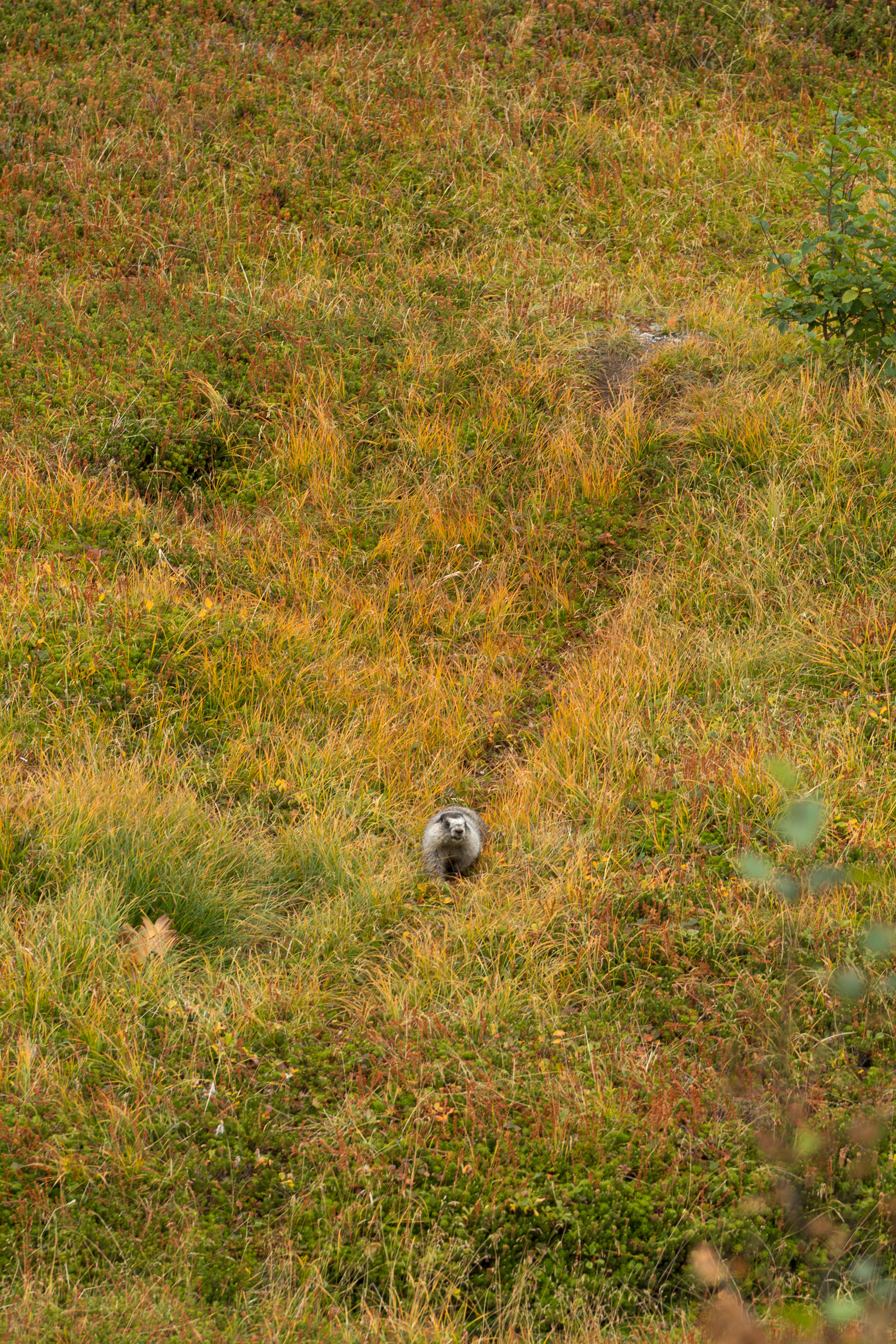
On the way down we heard something moving in the low brush and, given the bear warnings, went straight to alert. It was a hoary marmot, a large ground squirrel of the mountains, and it walked toward us rather than away. Nearby the cranberries were out, which are one of the things bears in this part of Alaska eat most in the autumn, and which explained why the signs had been so insistent.



Homer
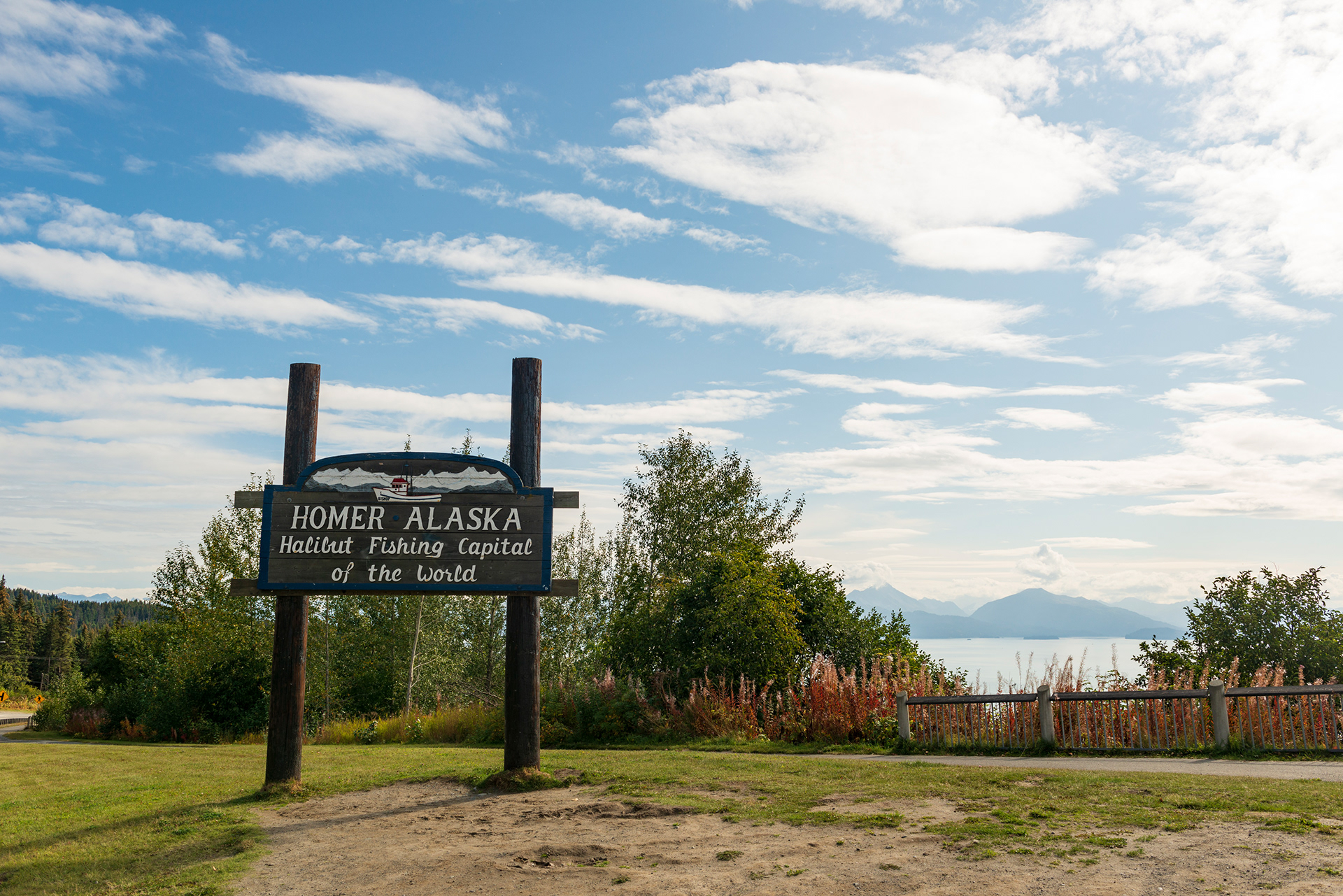
The Sterling Highway ends at Homer, which is as far south as the Alaska road network goes. The sign at the edge of town calls it the Halibut Fishing Capital of the World. We had come for bears. The plan was a flight across Kachemak Bay to Katmai National Park, where June and September are usually the two best months of the year to watch brown bears fishing. The day before, the operator called to tell us that this season had been strange and the bears had essentially stopped showing up at the usual places, and recommended we cancel. So we did. It is the one thing on this trip we planned and did not get, and I was more disappointed than my wife, who had been looking at the itinerary I had built and was privately delighted to have a day with nothing in it.
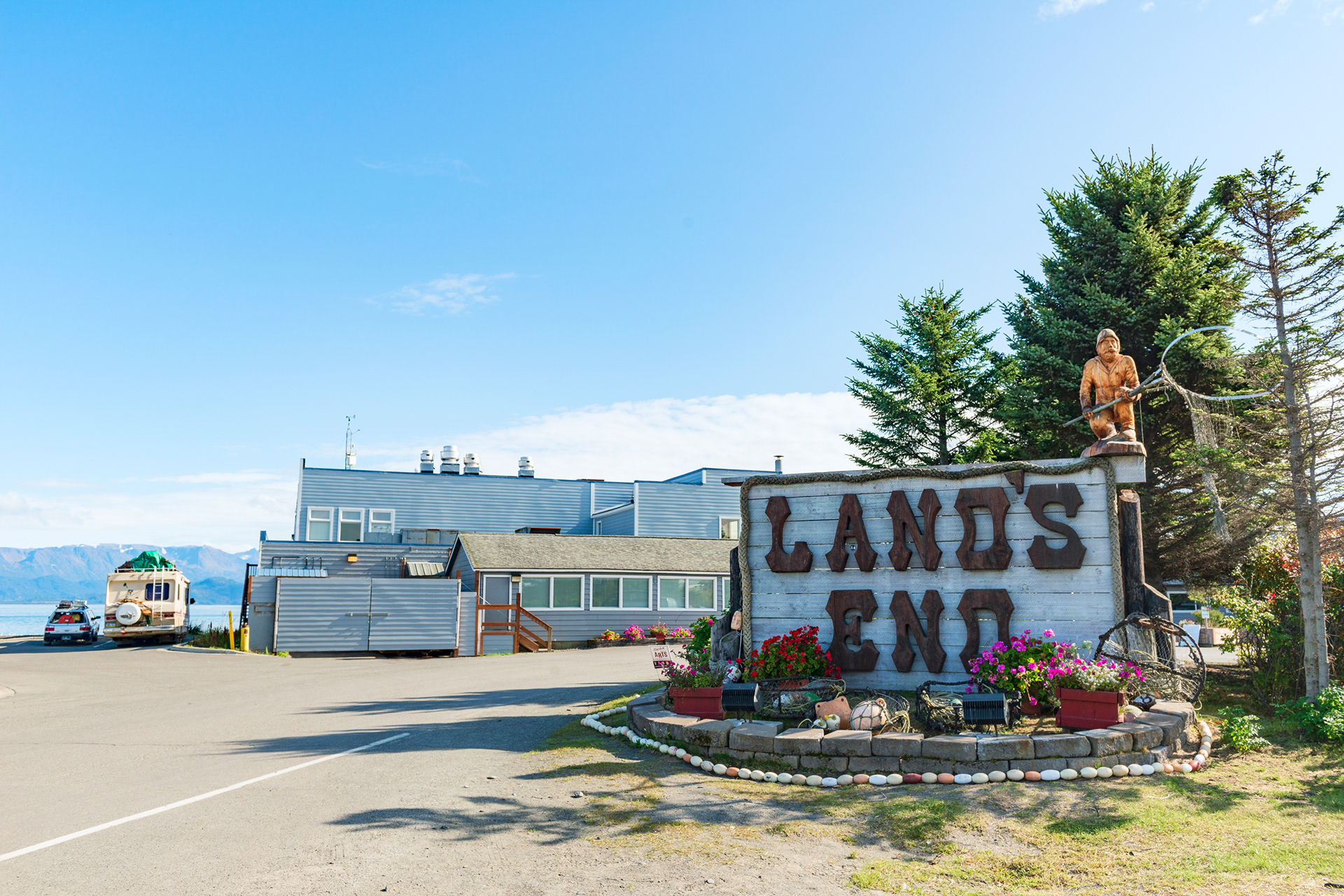
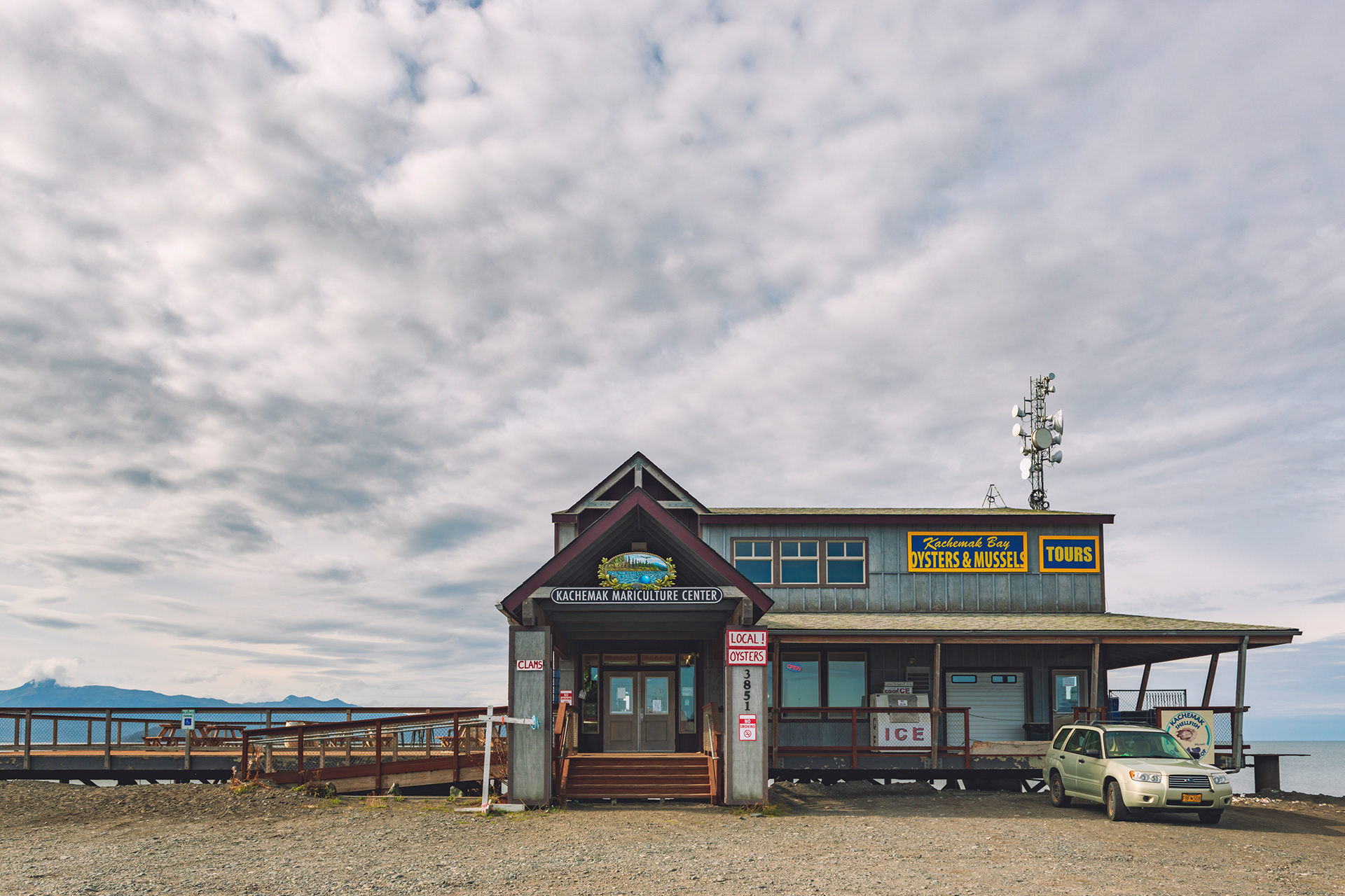
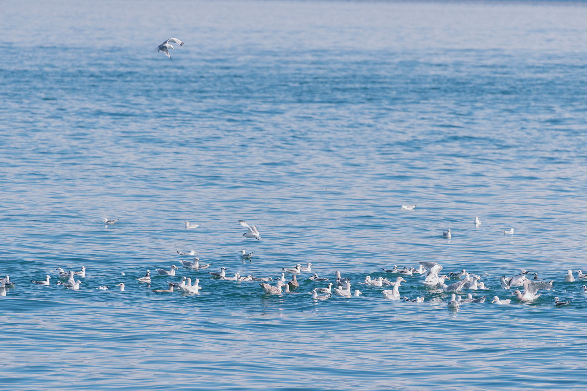
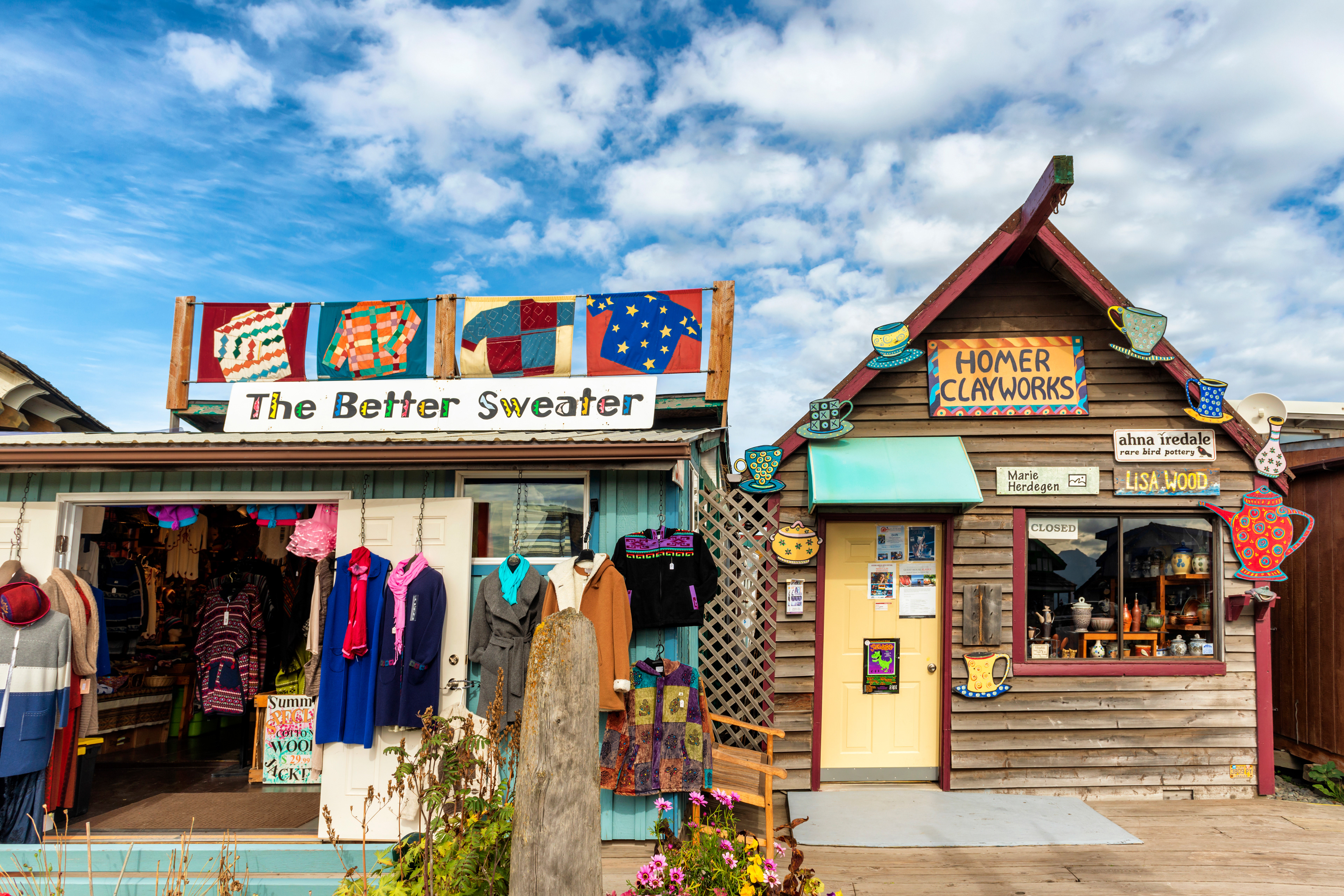
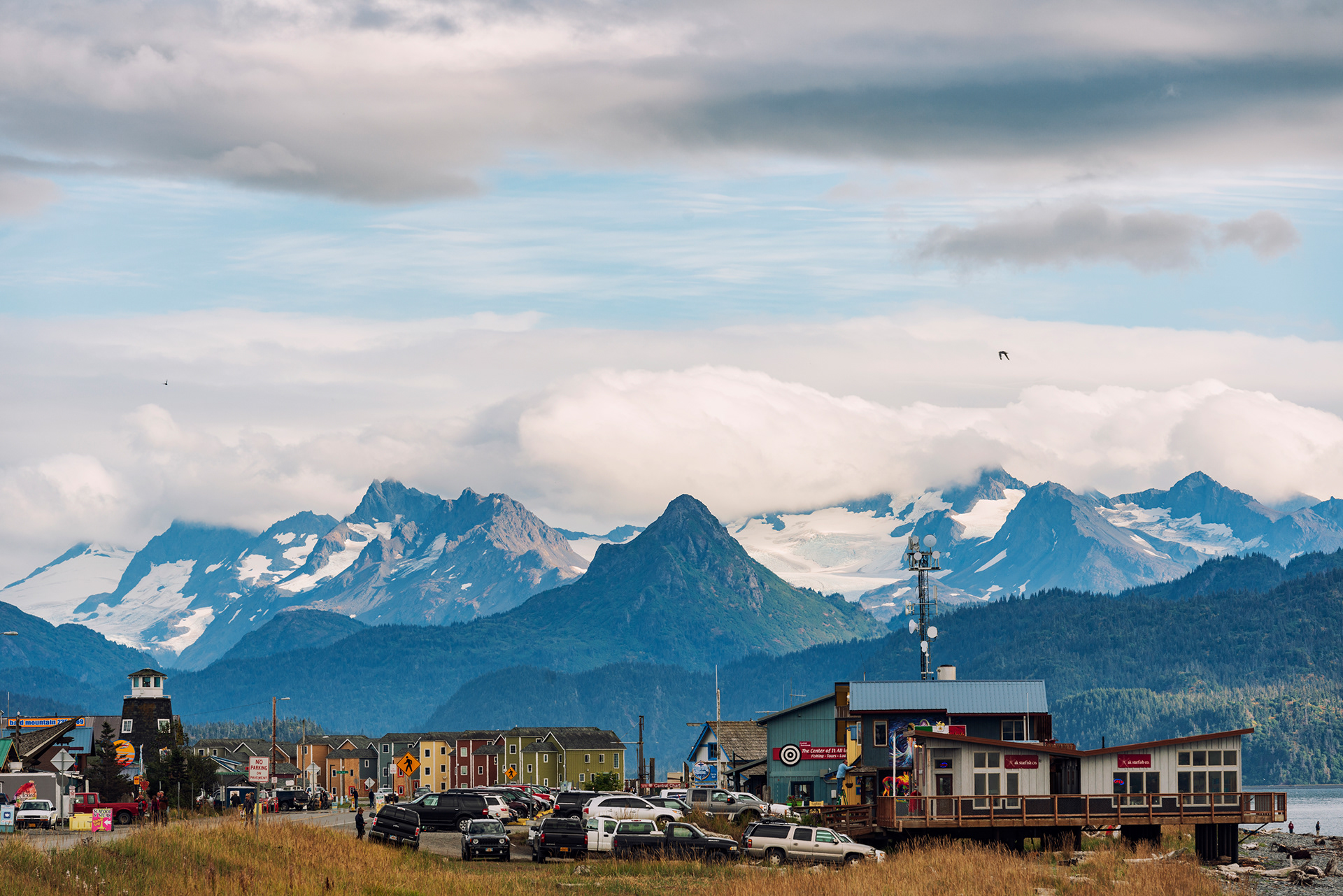
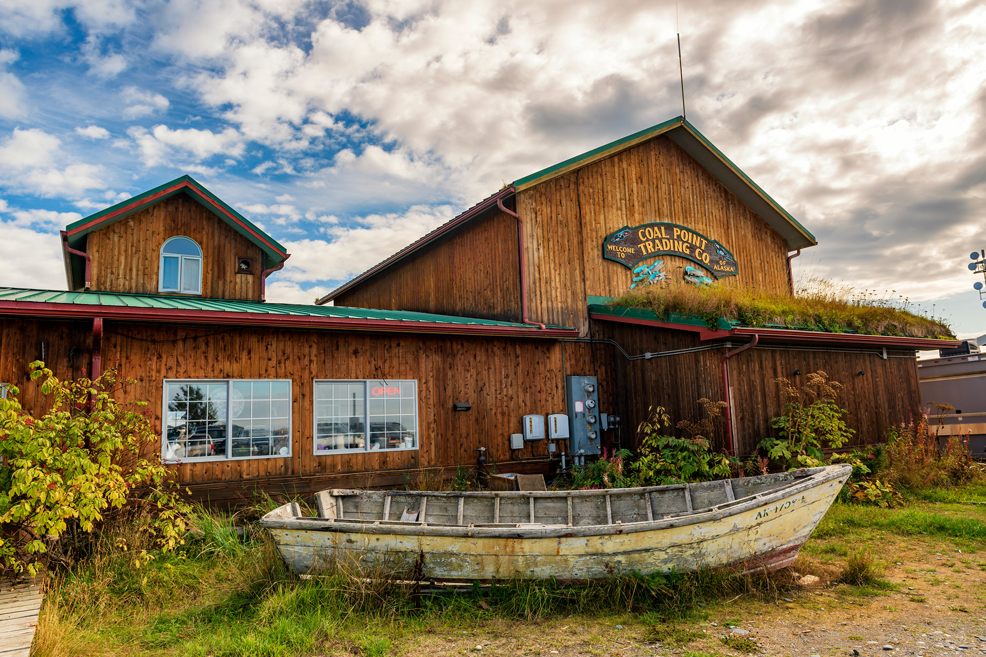
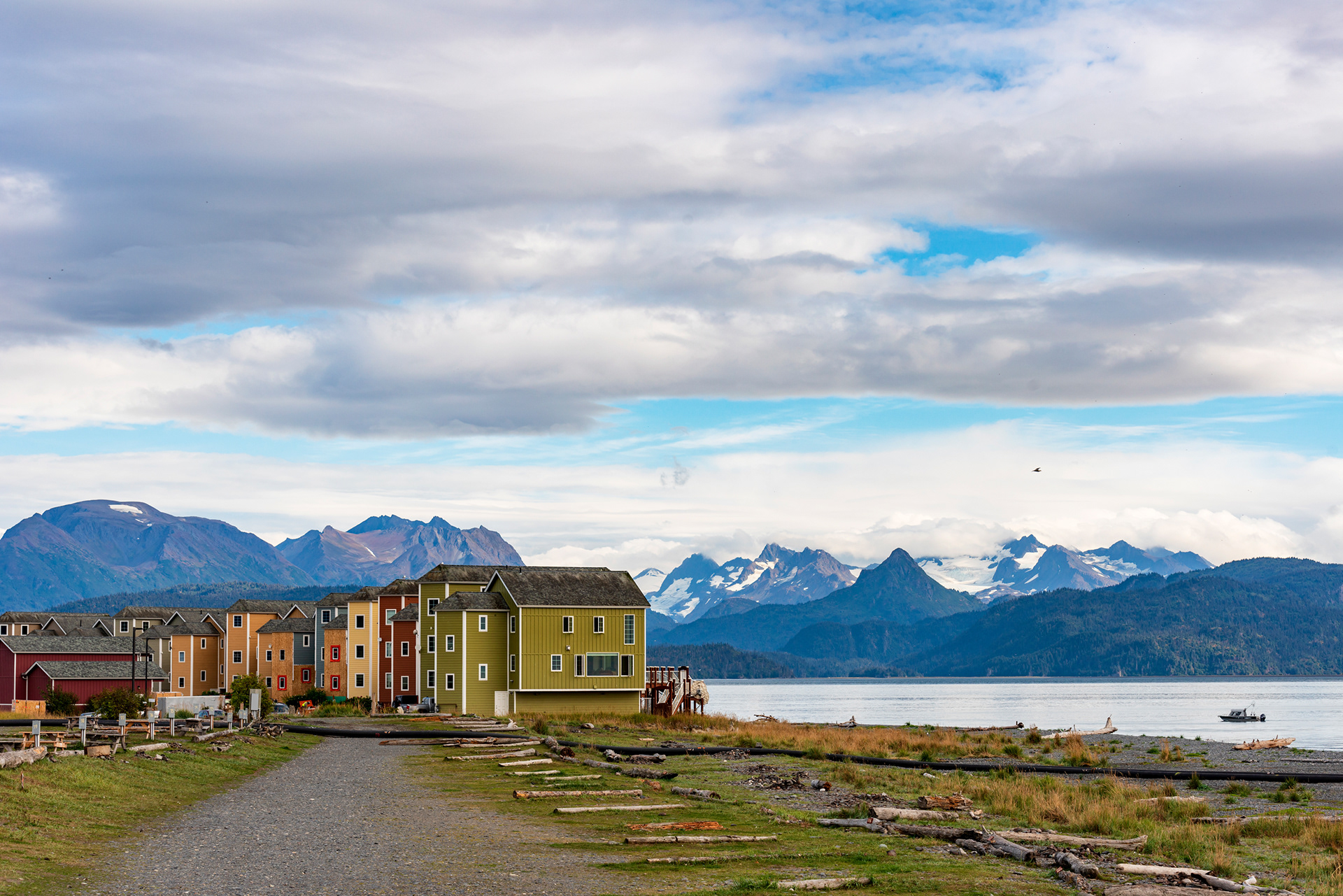
What we got instead was a slow day in a fishing town at the end of the season, which turned out to be a fair trade. The Homer Spit is a natural gravel bar that runs several miles out into the bay, with water on both sides and a road down the middle. Restaurants, shops, charter offices, and fish processing sit along it. At the far end is a park called, accurately, End of the Road Park, which is a gull colony as much as anything. The gulls own the bridge, the pilings, and the air above both.
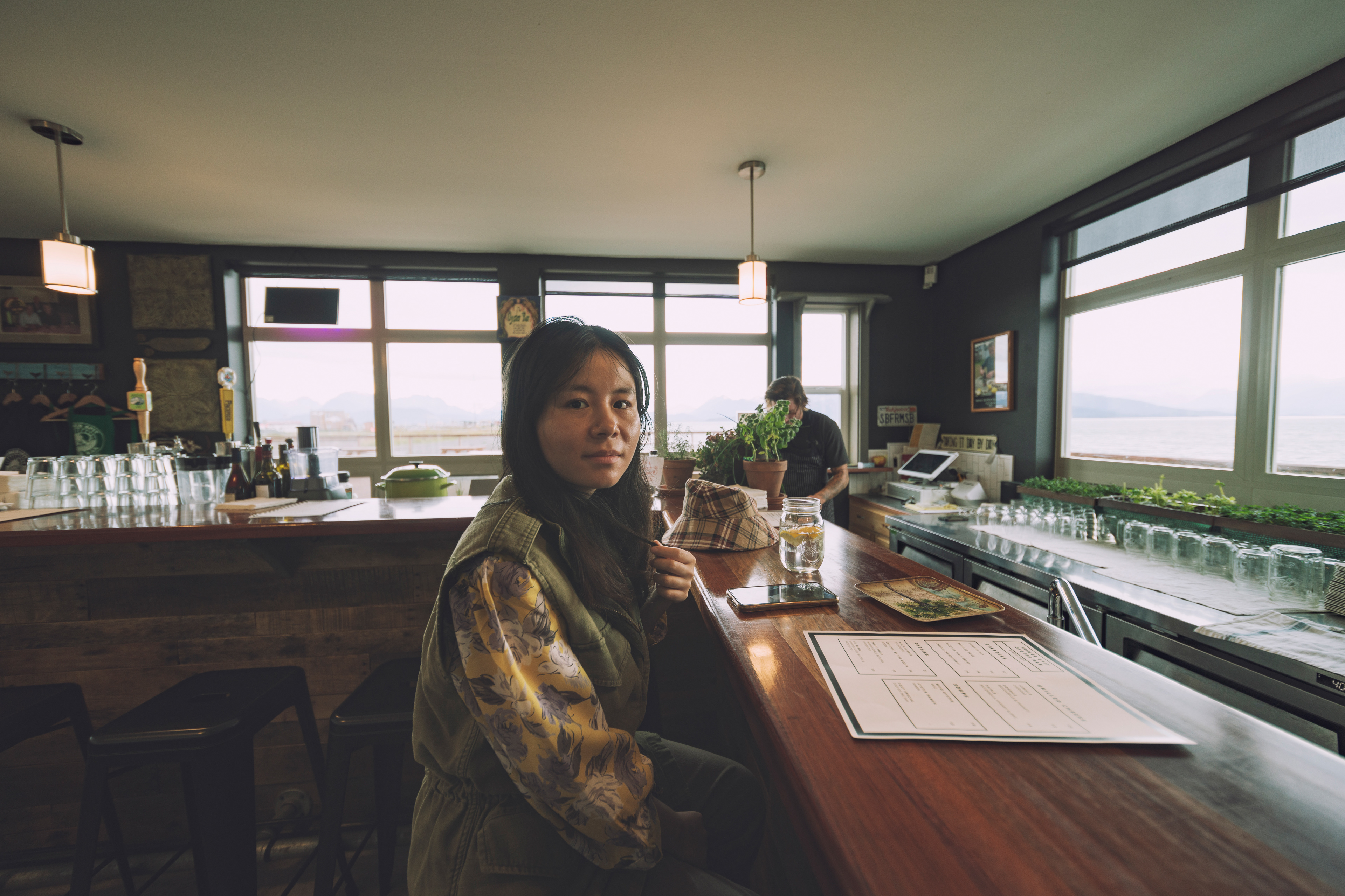
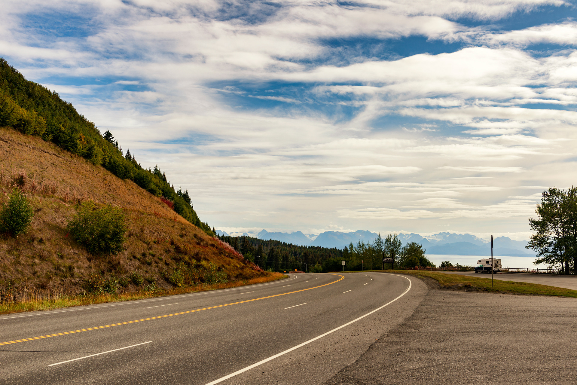
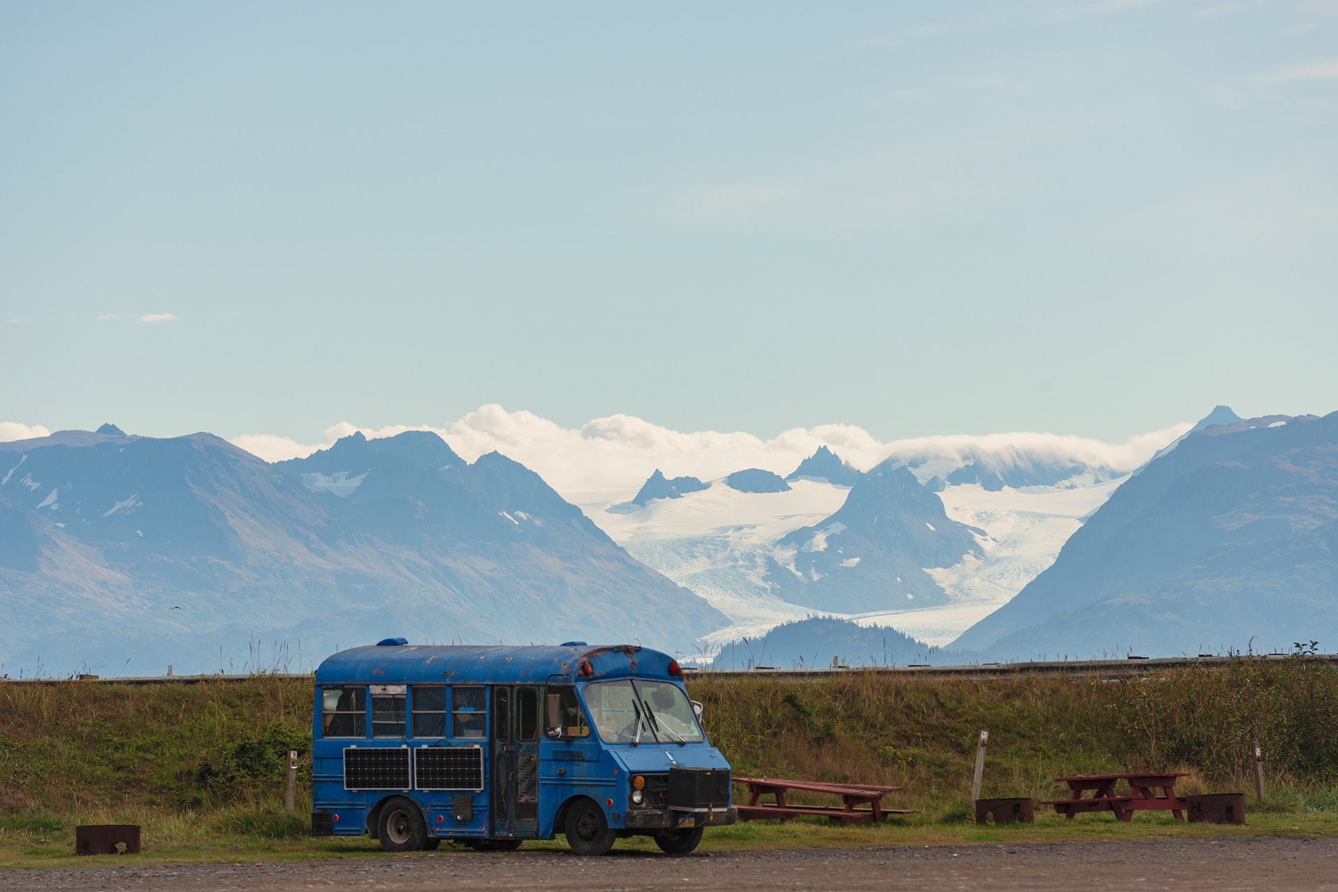
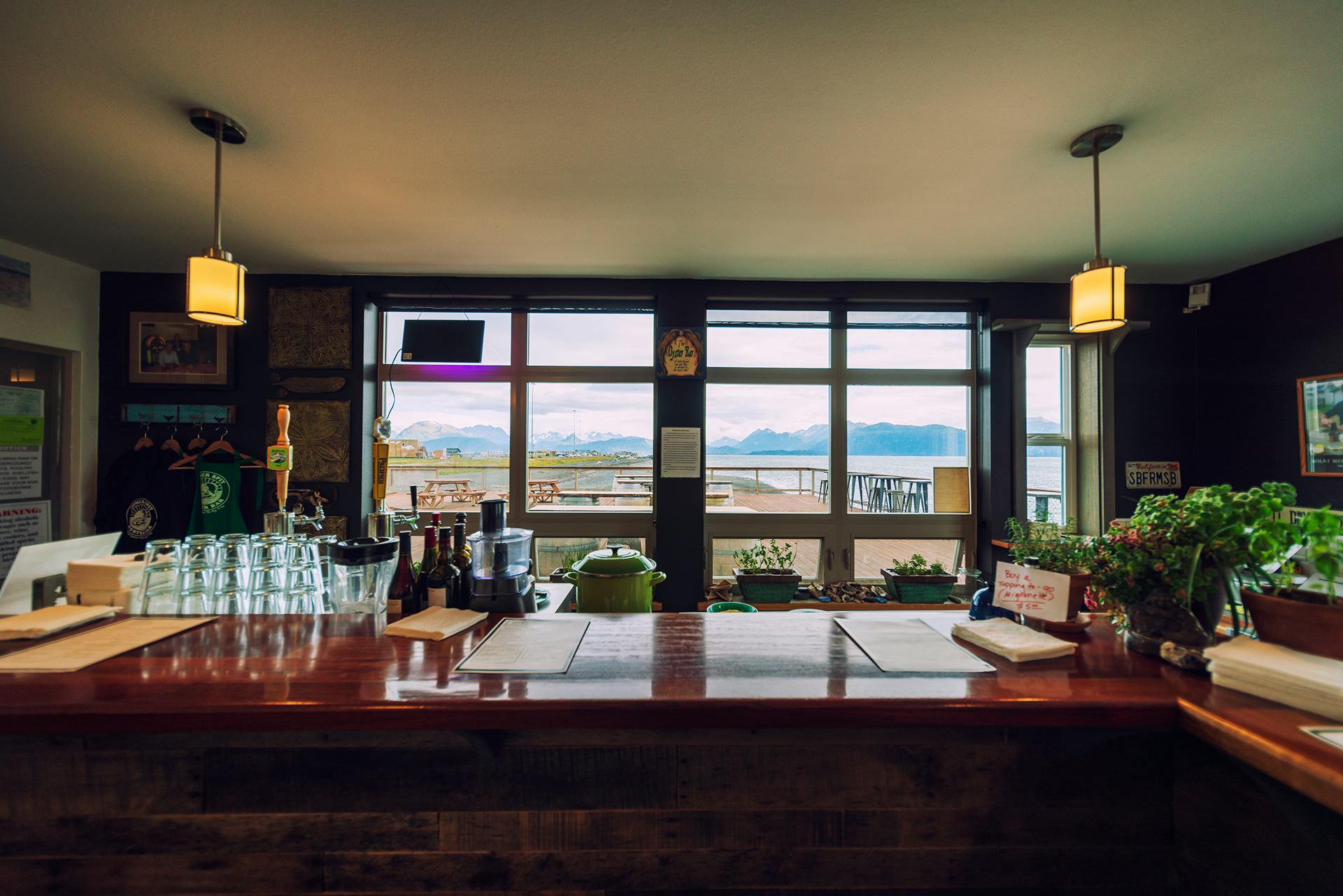
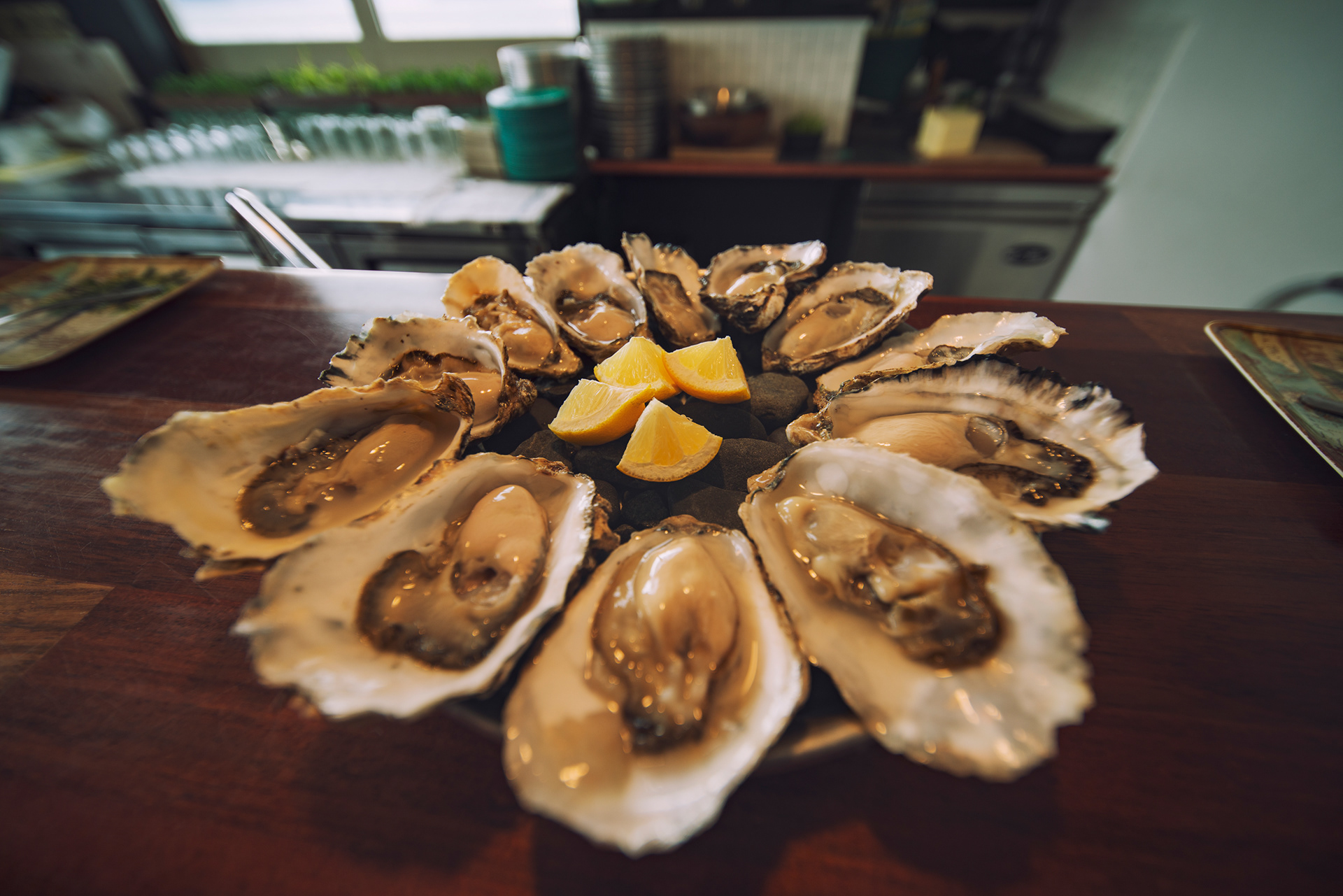
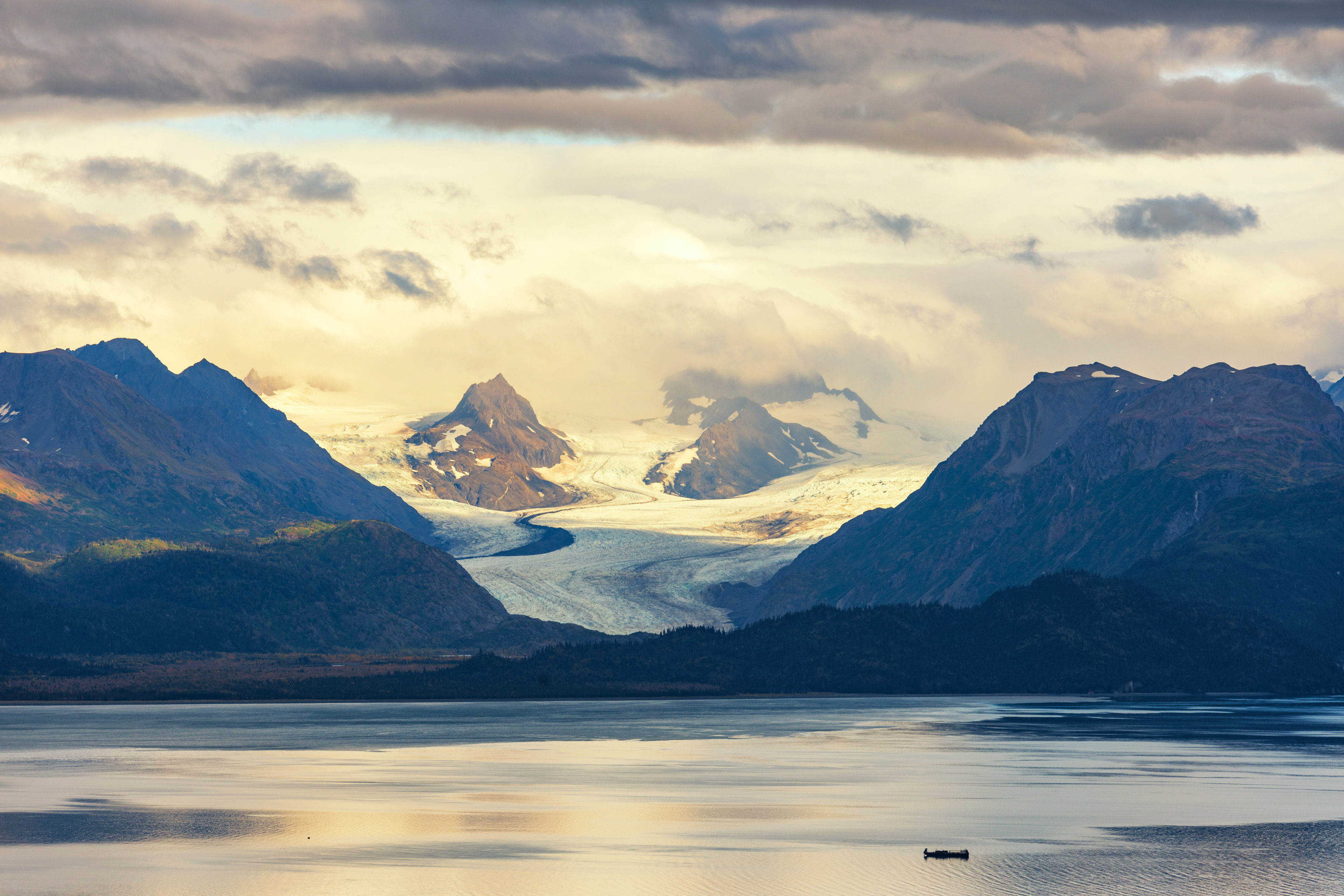
The best view of the Spit is not from it. Skyline Drive runs along the bluff above town, and from there the whole geometry is visible at once: the town in front of you, the Spit reaching out into the bay, and beyond it the water, the mountains, and the glaciers on the far shore. Most of the shops on the Spit were closed for the season, which my wife took harder than the bear cancellation. We found a restaurant that was open, with a bar facing the water, and ate a large plate of oysters looking at the bay. In mid-September Homer is quiet and slightly wistful and I liked it a great deal.
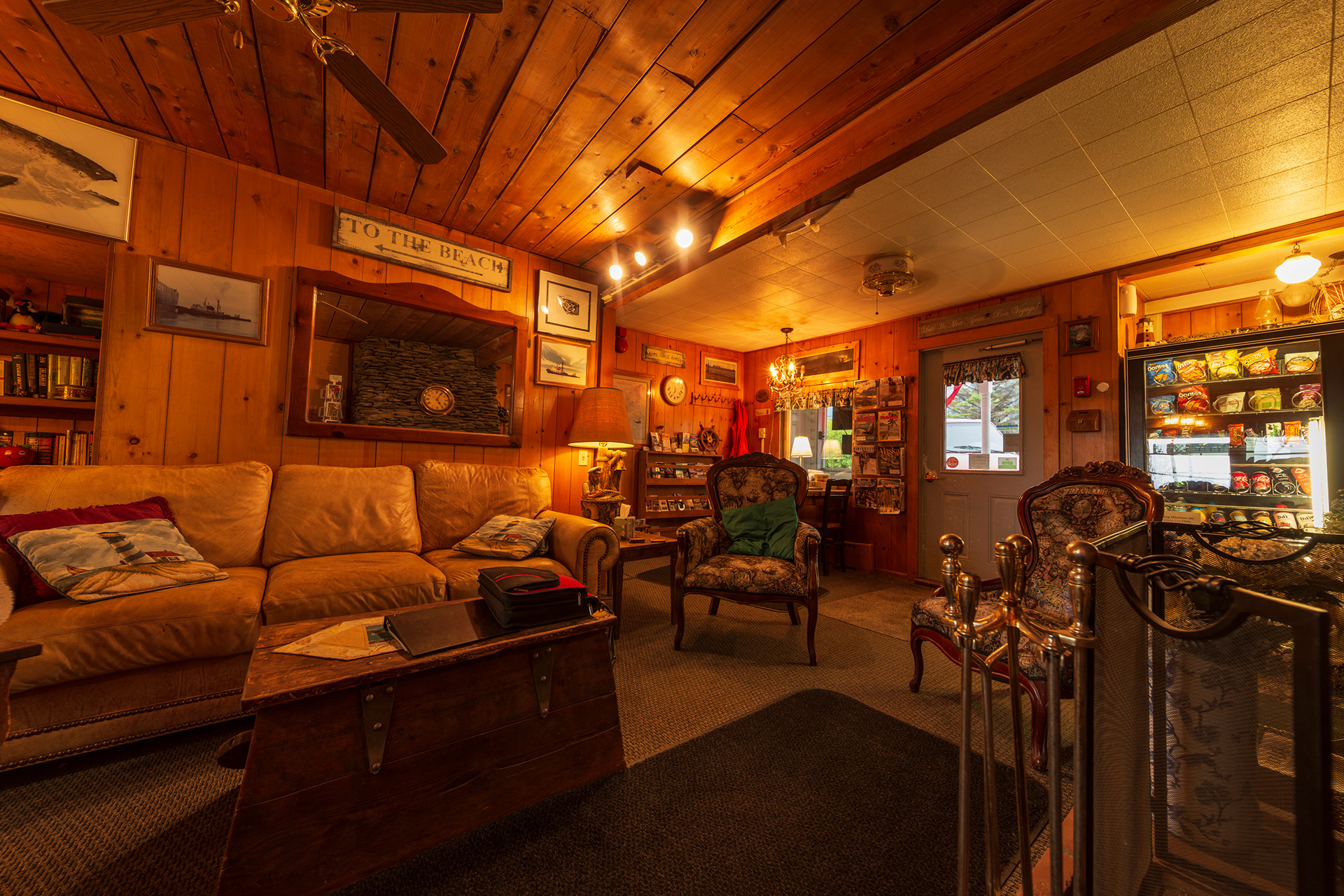
A word about where we stayed. The Driftwood Inn is a well-known historic building in Homer and we booked it because it was cheap. The lobby is lovely. The room was tiny, the corridor was too narrow to open a suitcase in, and the two beds were bunks. If you care about lodging, stay somewhere else and visit the lobby. If you do not, it is fine and it is inexpensive.




Denali National Park
Finally, the climax of the journey!
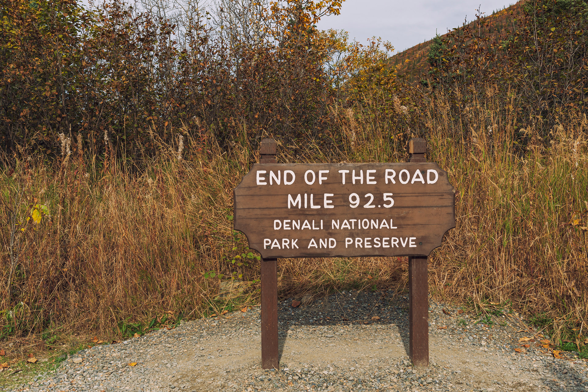
Denali National Park has one road. It runs ninety-two miles into the park, it is dirt after the first fifteen, and private vehicles are stopped at mile fifteen for almost the entire year. Everyone else rides a bus. The exception is the Road Lottery. For five days in mid-September the park opens the full road to private cars, 400 permits per day, one of the days reserved for the military. That is at most 1,600 vehicles a year. More than 12,000 people enter the draw. The odds on a single application are around one in eight.
The rules allow a permit to be transferred, though not sold, which changes the math. You can enter under the names of family and friends and transfer a winning permit to yourself, paying the $15 application fee each time and $25 more for each permit that hits. At one in eight, ten applications give you about a 74% chance of at least one, fifteen gives about 87%, and twenty gives about 93%. We filed fifteen and drew three: September 13, 15, and 16. Our itinerary only allowed the 13th, so we passed the other two on to people who could use them. One warning from the rules that is easy to miss: if the card you applied with declines when they charge it, you forfeit the permit and it goes to someone else, so use a card that will not expire before the draw.
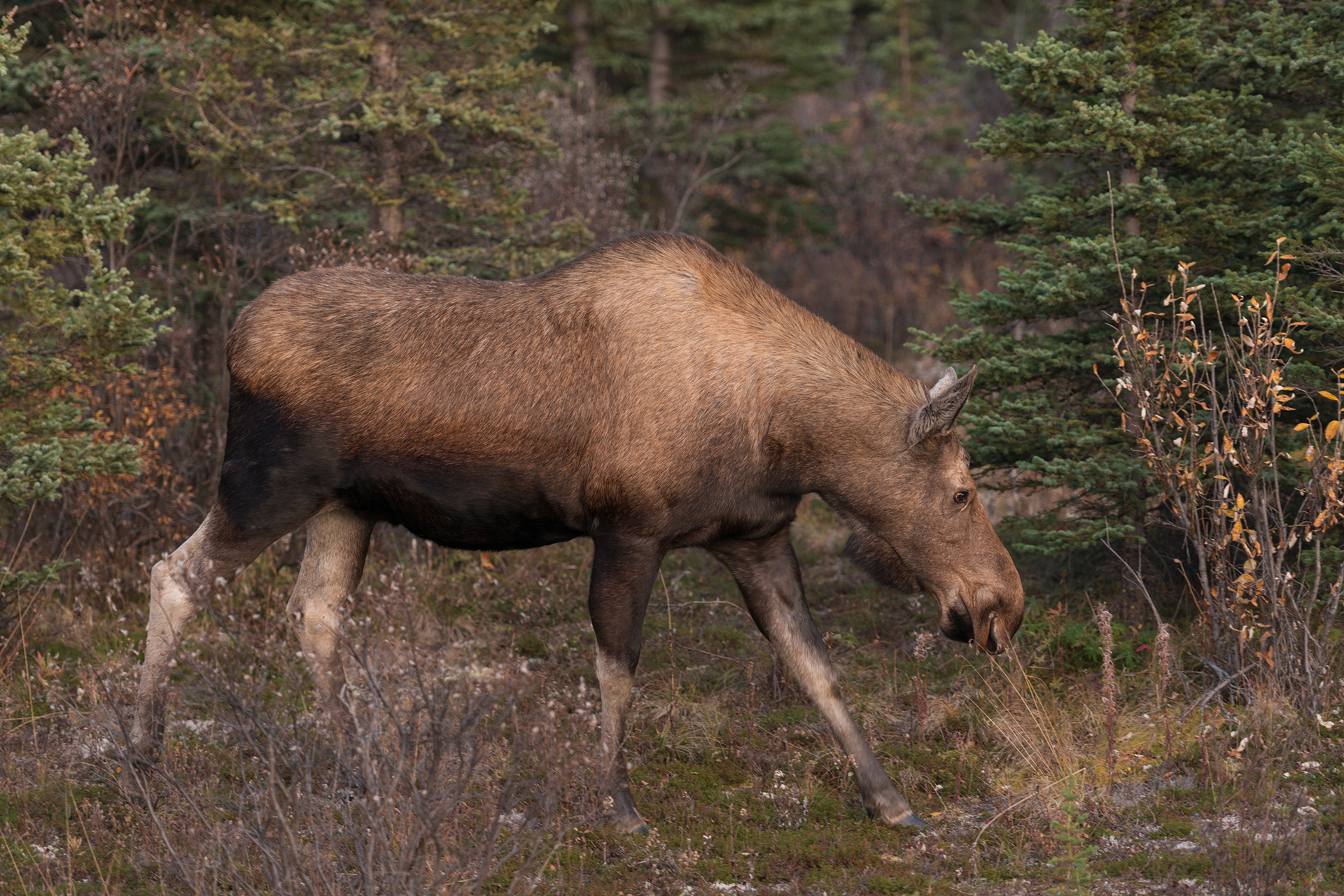
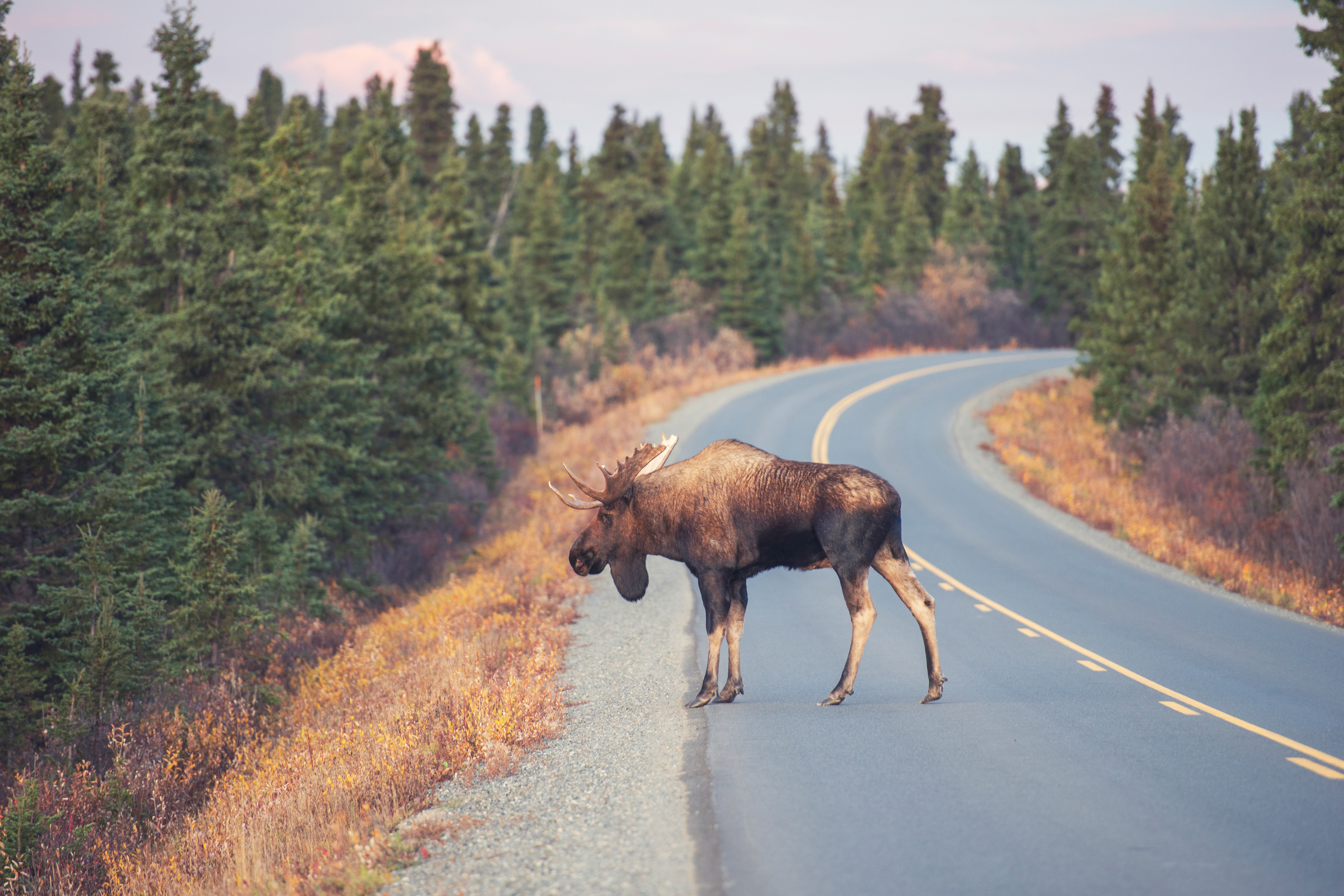
We picked up the permit the day before, because the pickup counter closes well before the road does, and got up at half past five on the morning of the 13th. Getting in early turned out to matter for reasons that had nothing to do with the permit. The first ten miles of the road are moose country, and dawn and dusk are when moose move. We counted five or six on the way in, in light too poor to photograph. On the way out that evening we found a pair right at the roadside with the sun behind them, a cow browsing and a bull crossing the road, and a crowd of people standing dead silent while it happened. The only sounds were shutters and chewing.
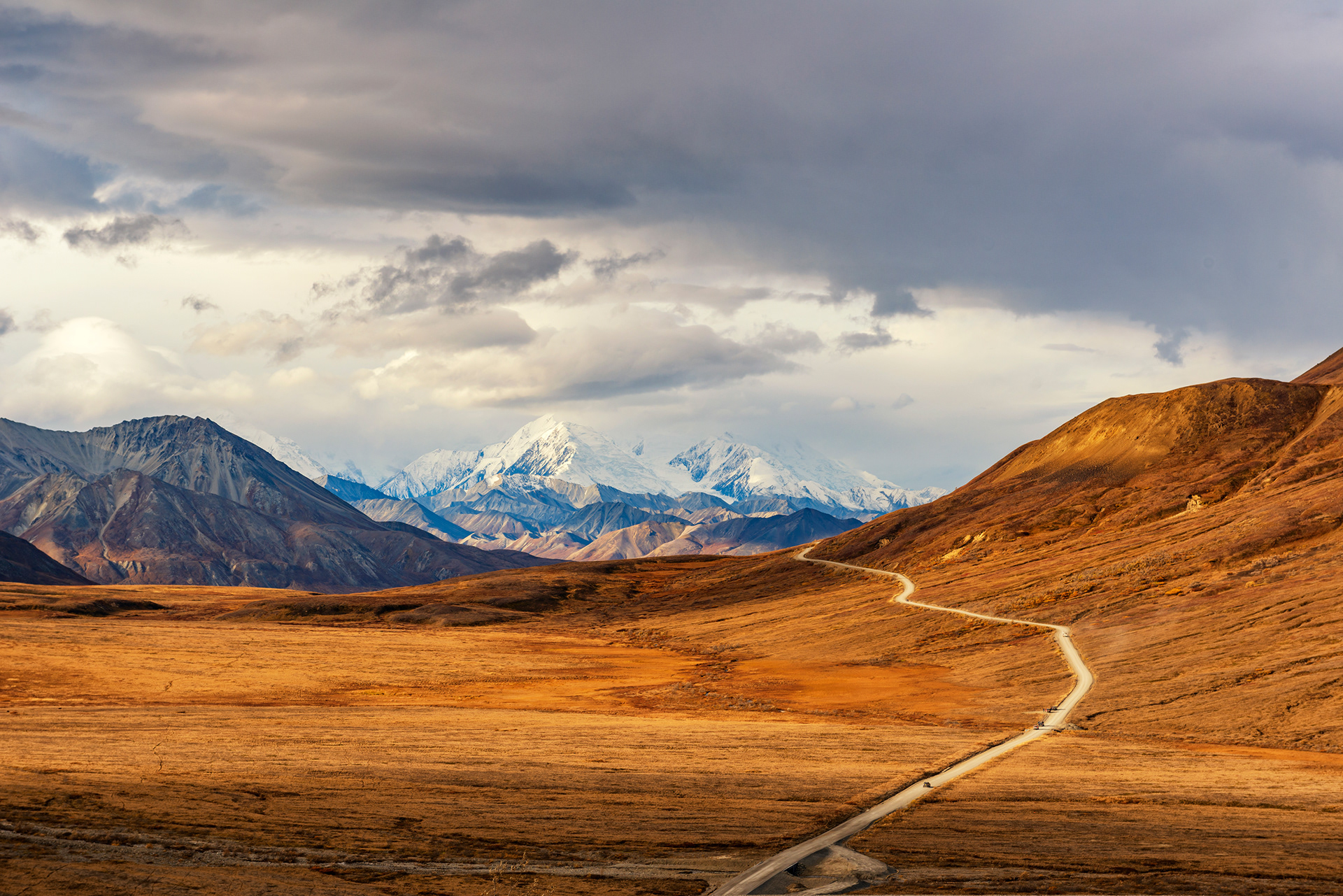
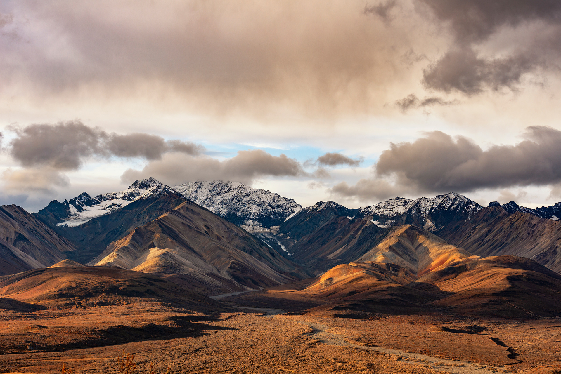
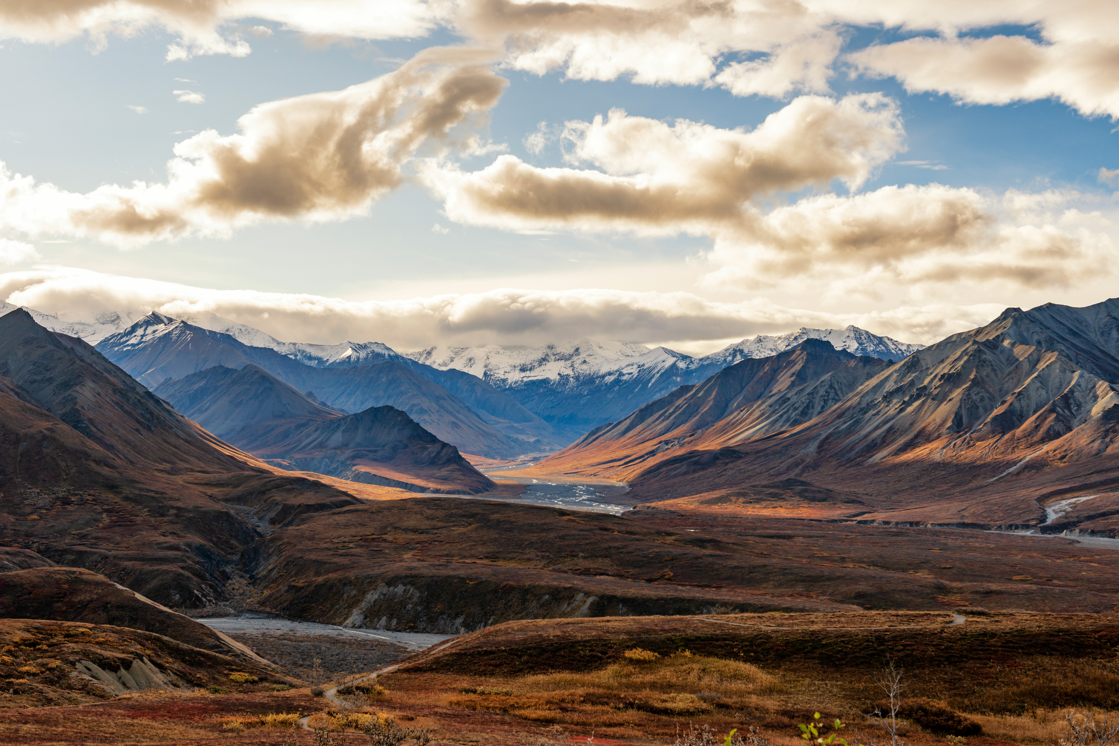
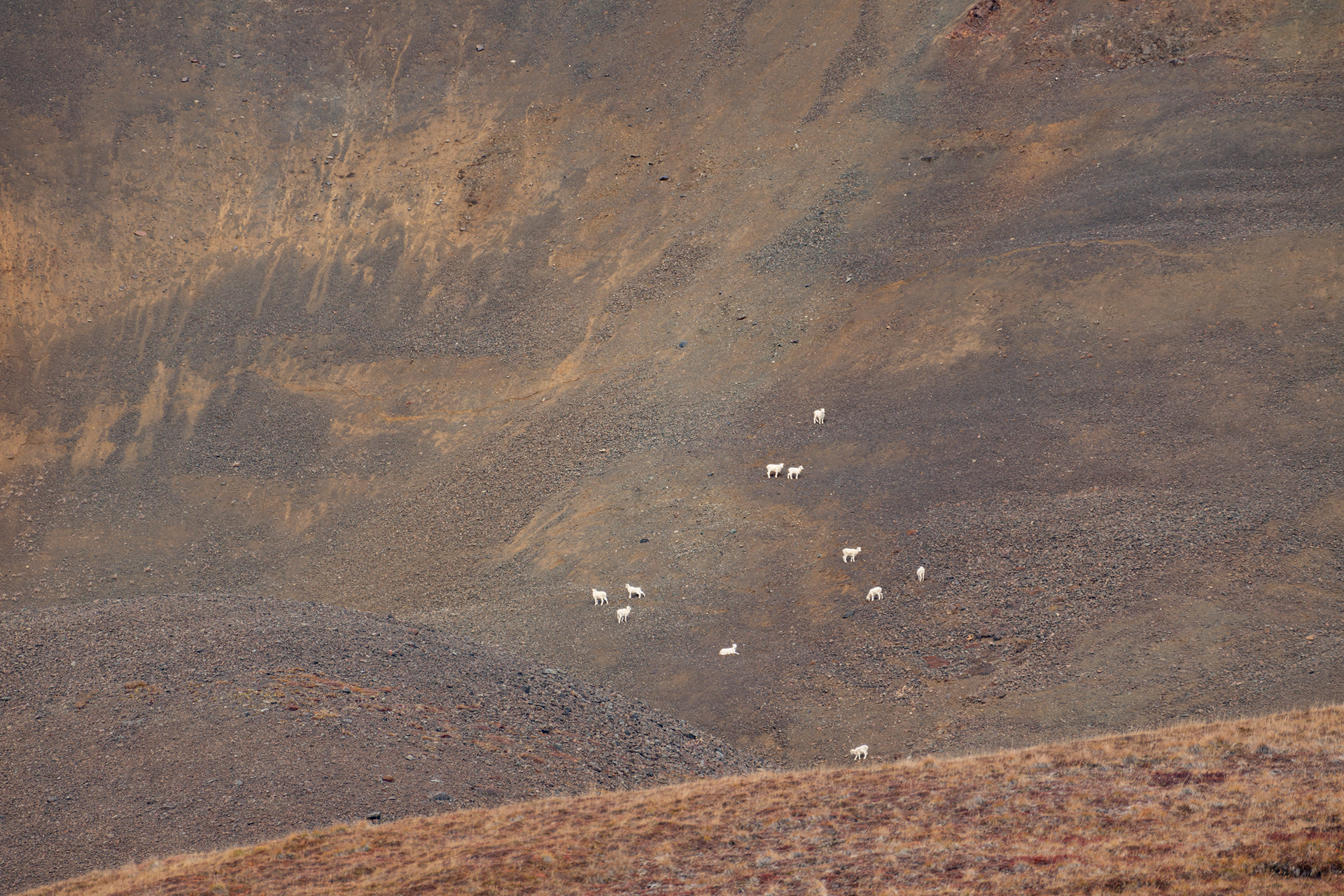
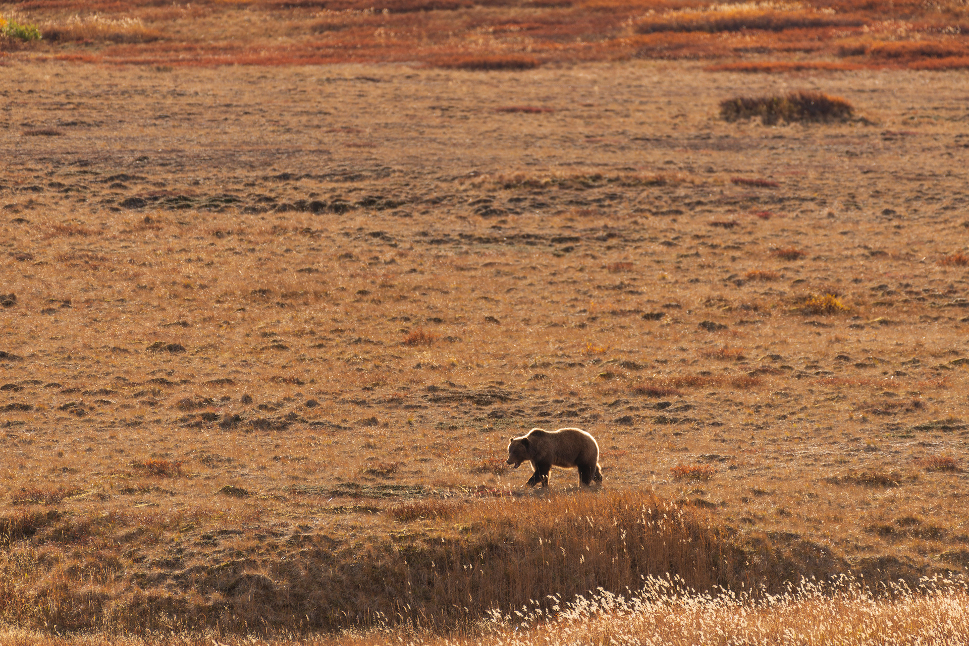
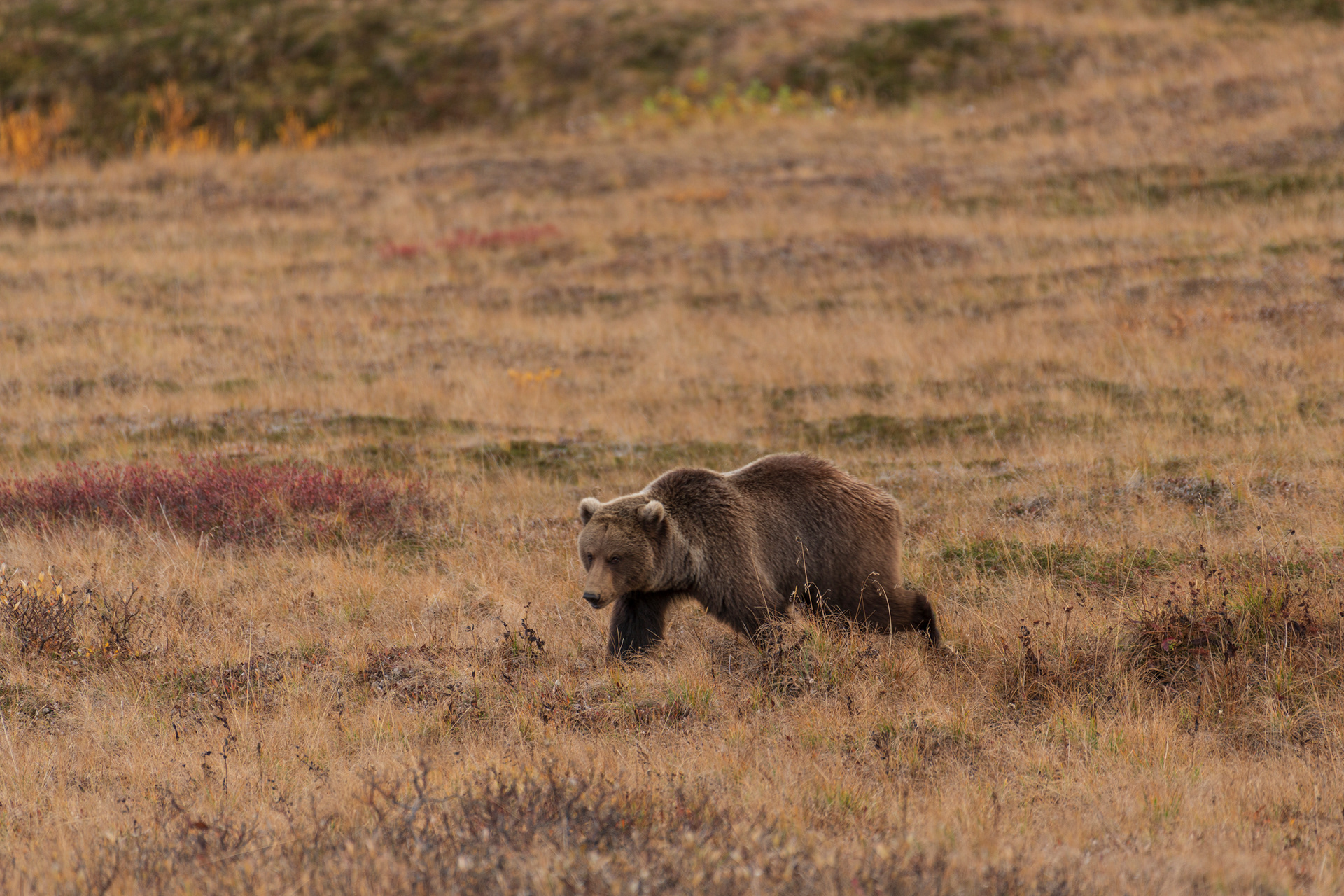
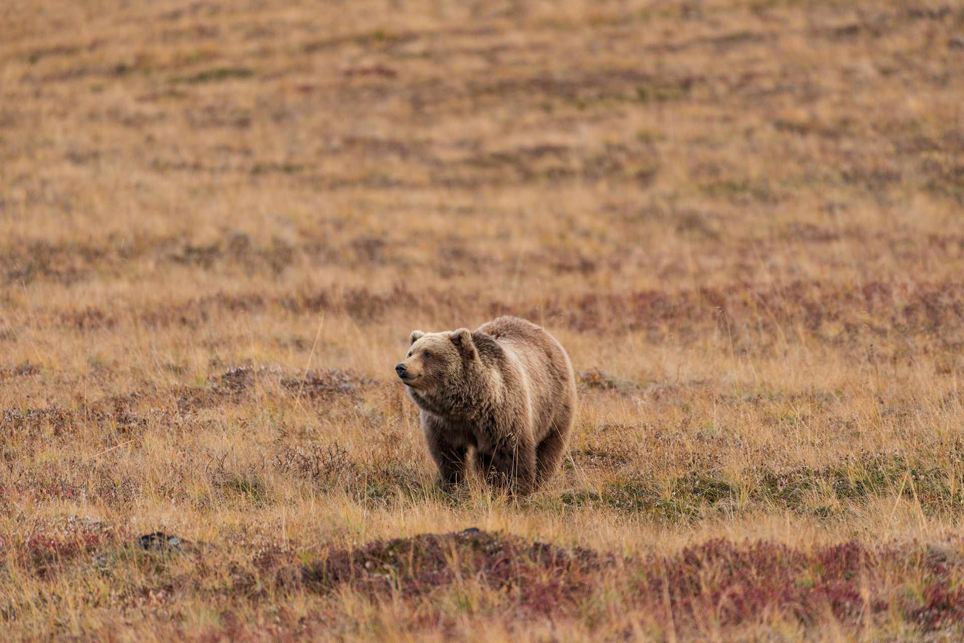
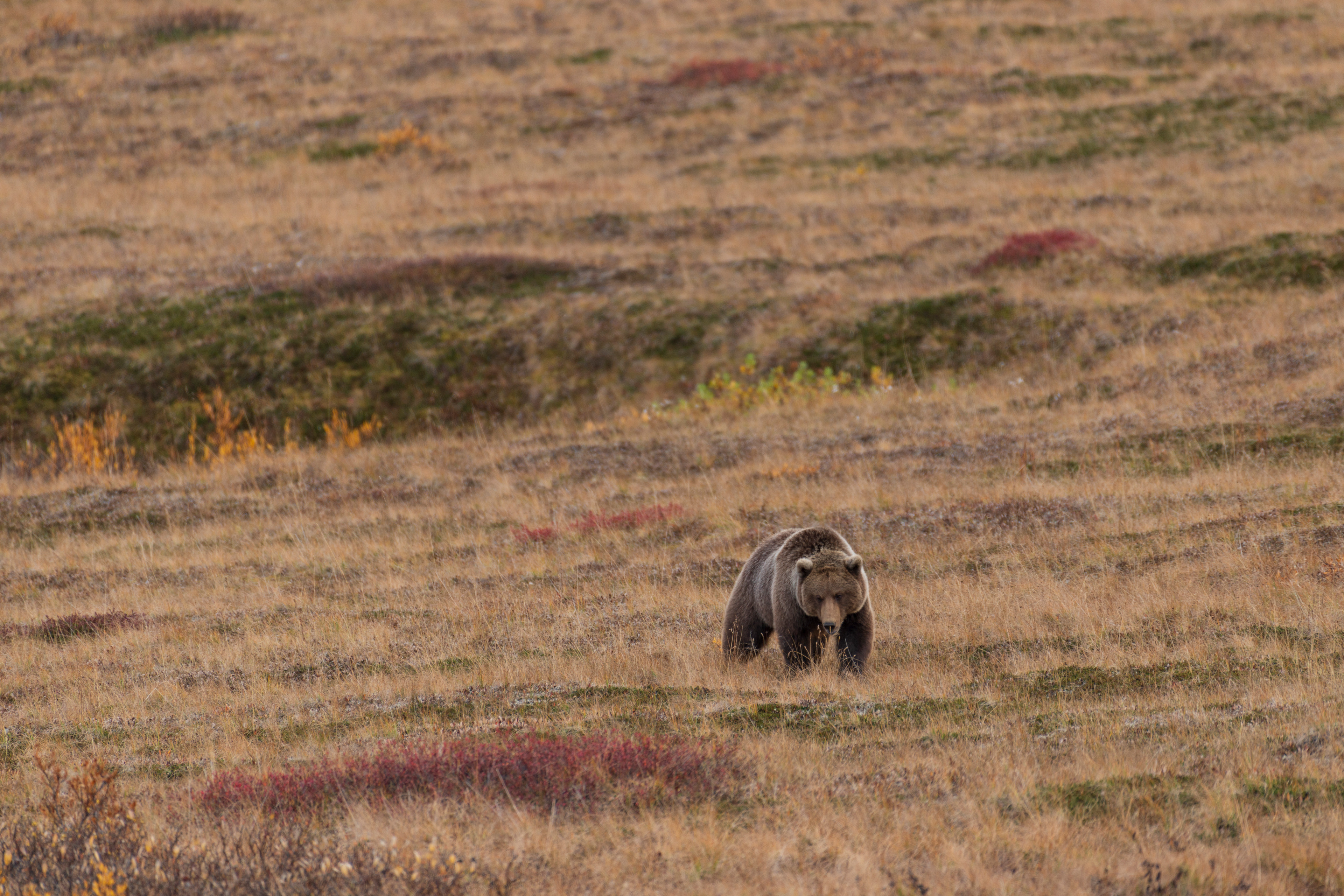
Past the Savage River checkpoint the pavement ends. The road narrows, climbs, and runs along drop-offs with nothing between you and them, which is why four-wheel drive is required. My wife spotted the first animals, a scatter of white dots on a slope so far away that I did not believe her until I got the binoculars on them and saw them moving. Dall sheep, almost certainly, though at that range it was a guess. Then was the first grizzly either of us had ever seen in the wild. We found it the way you find everything in this park, by coming around a bend and seeing a line of parked cars. It was too far away and below us for a good photograph, but we watched it until it walked out of sight.
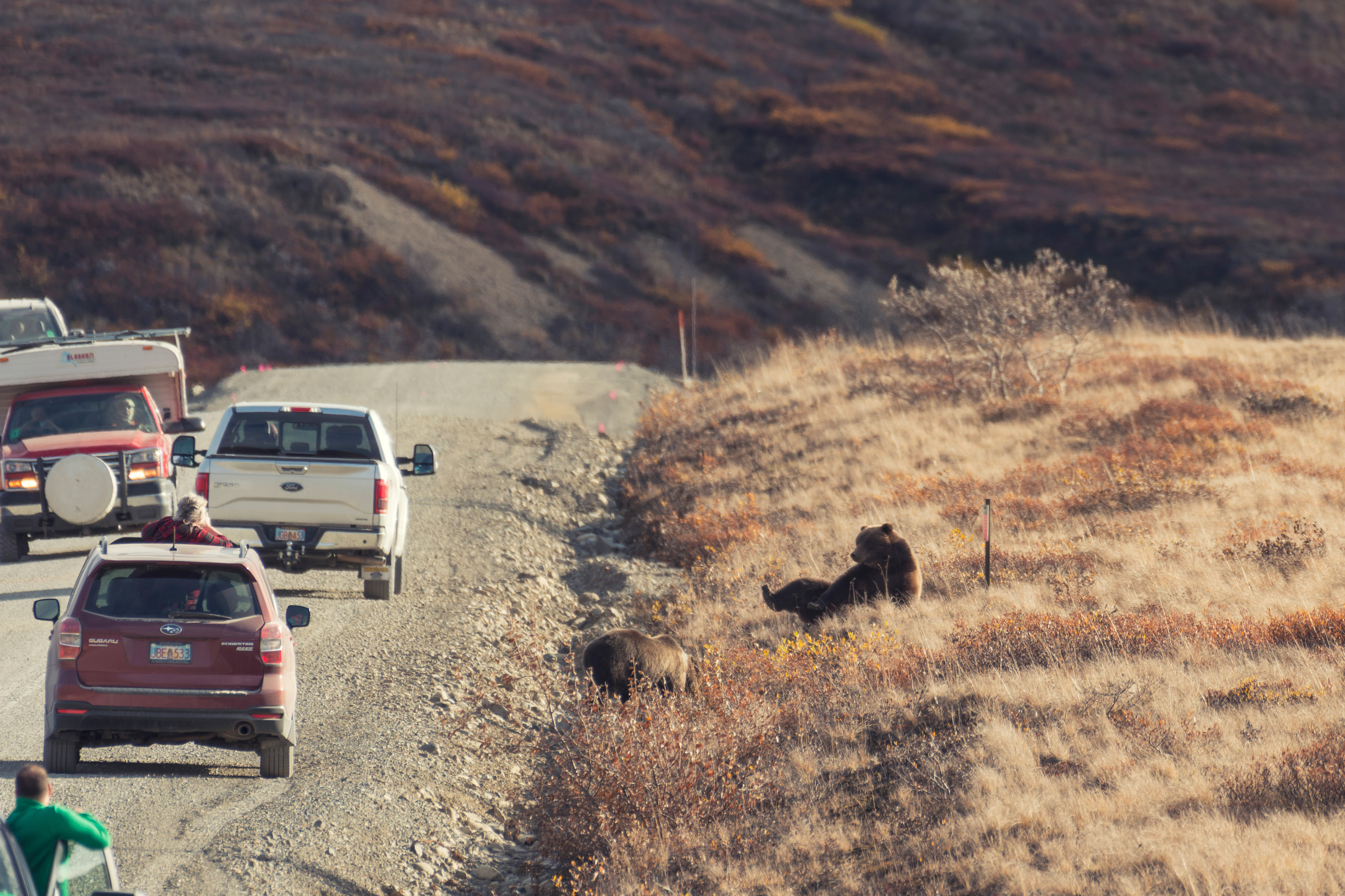
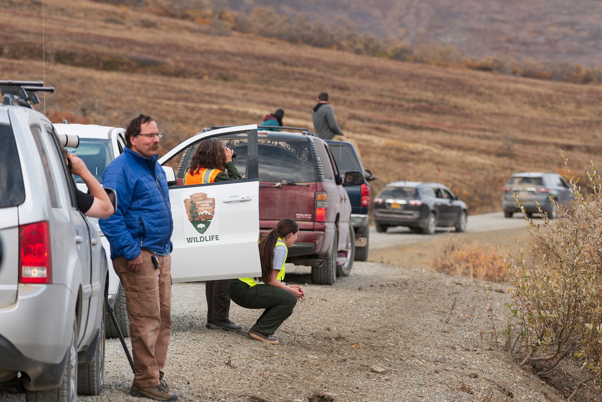
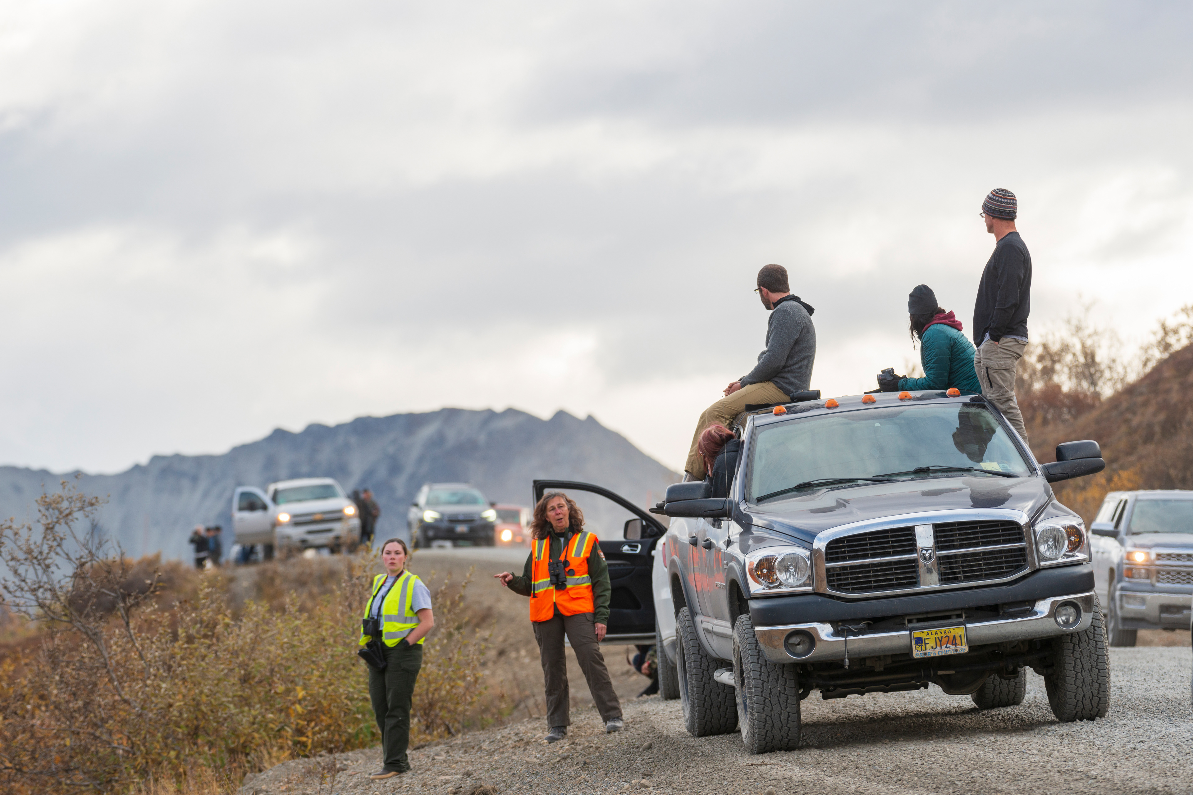
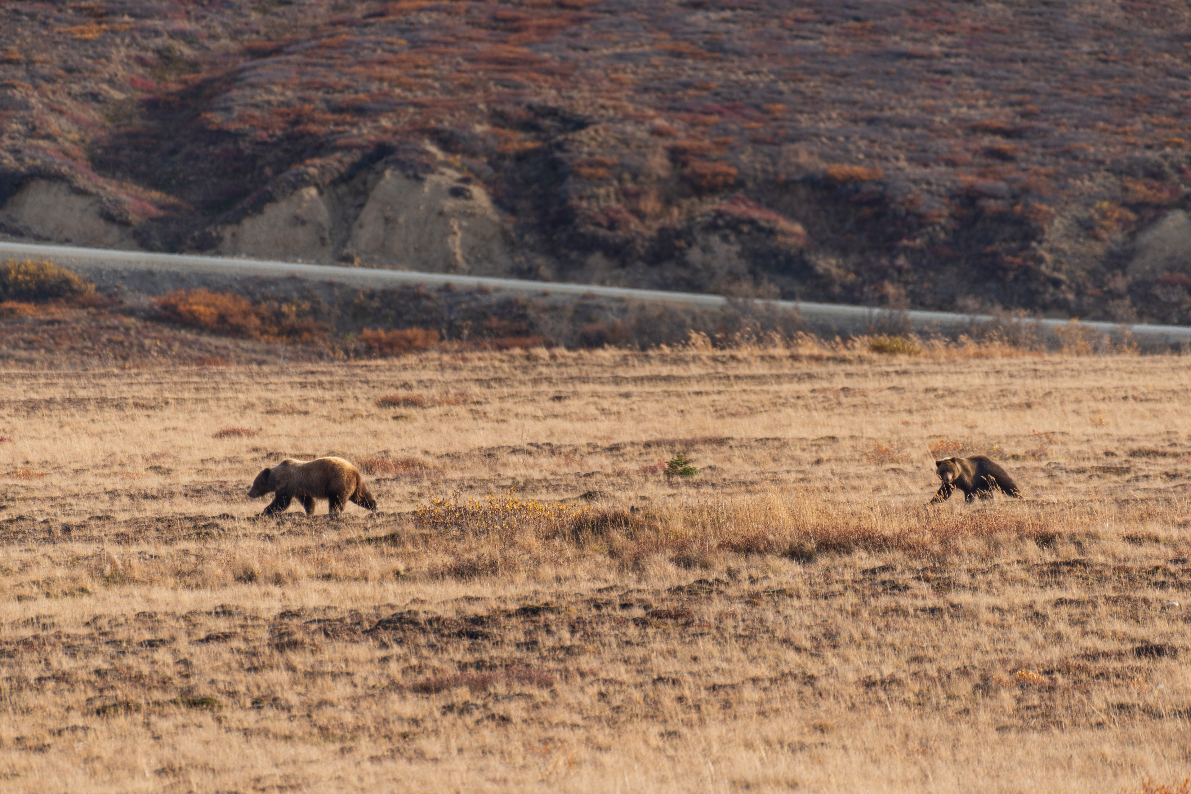
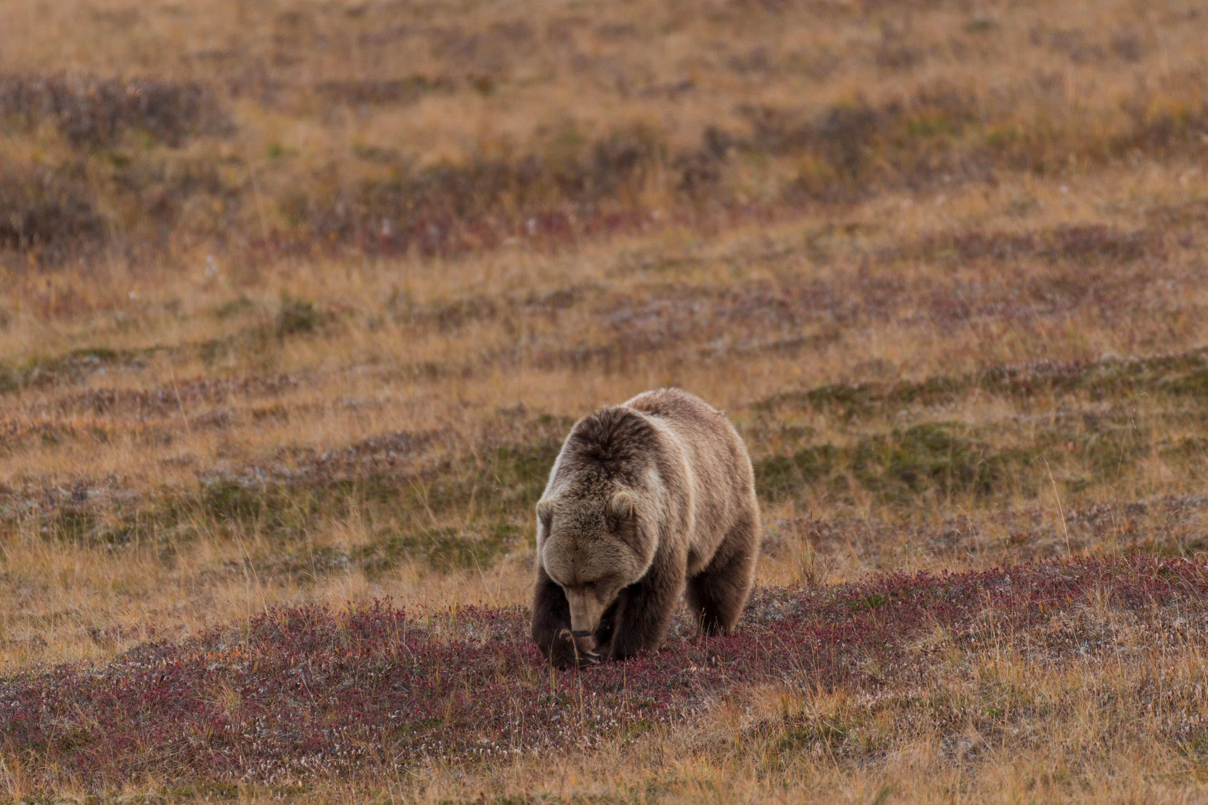
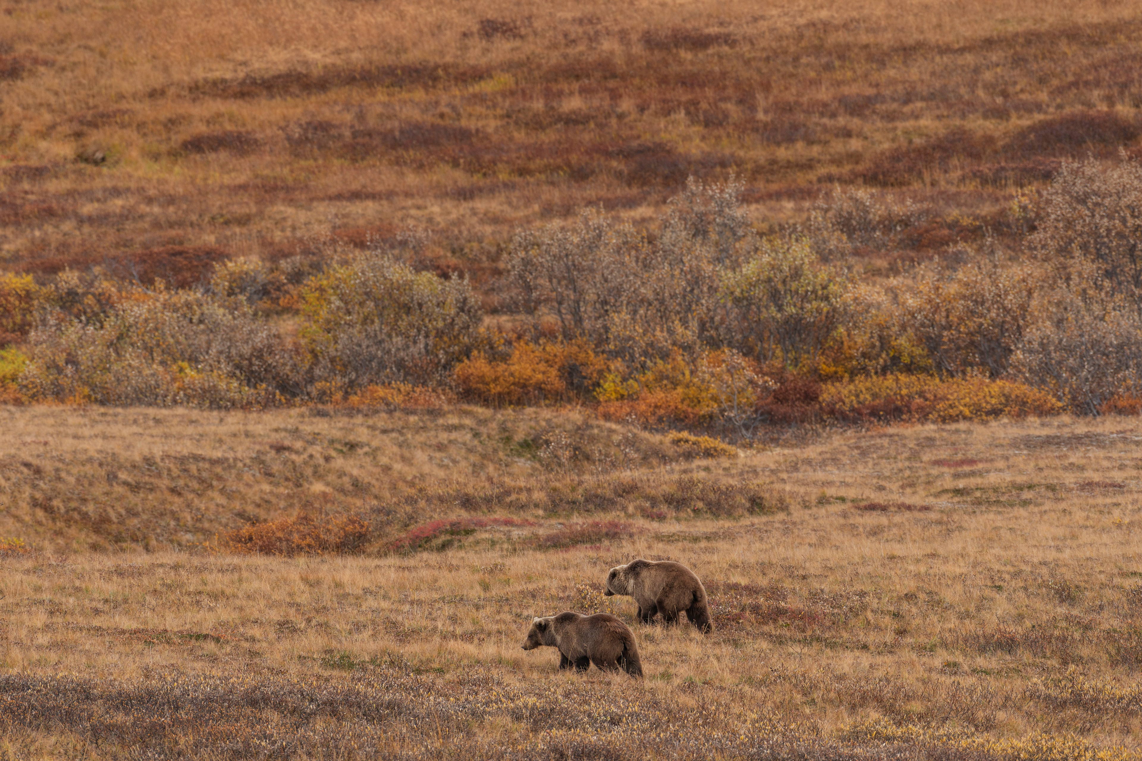
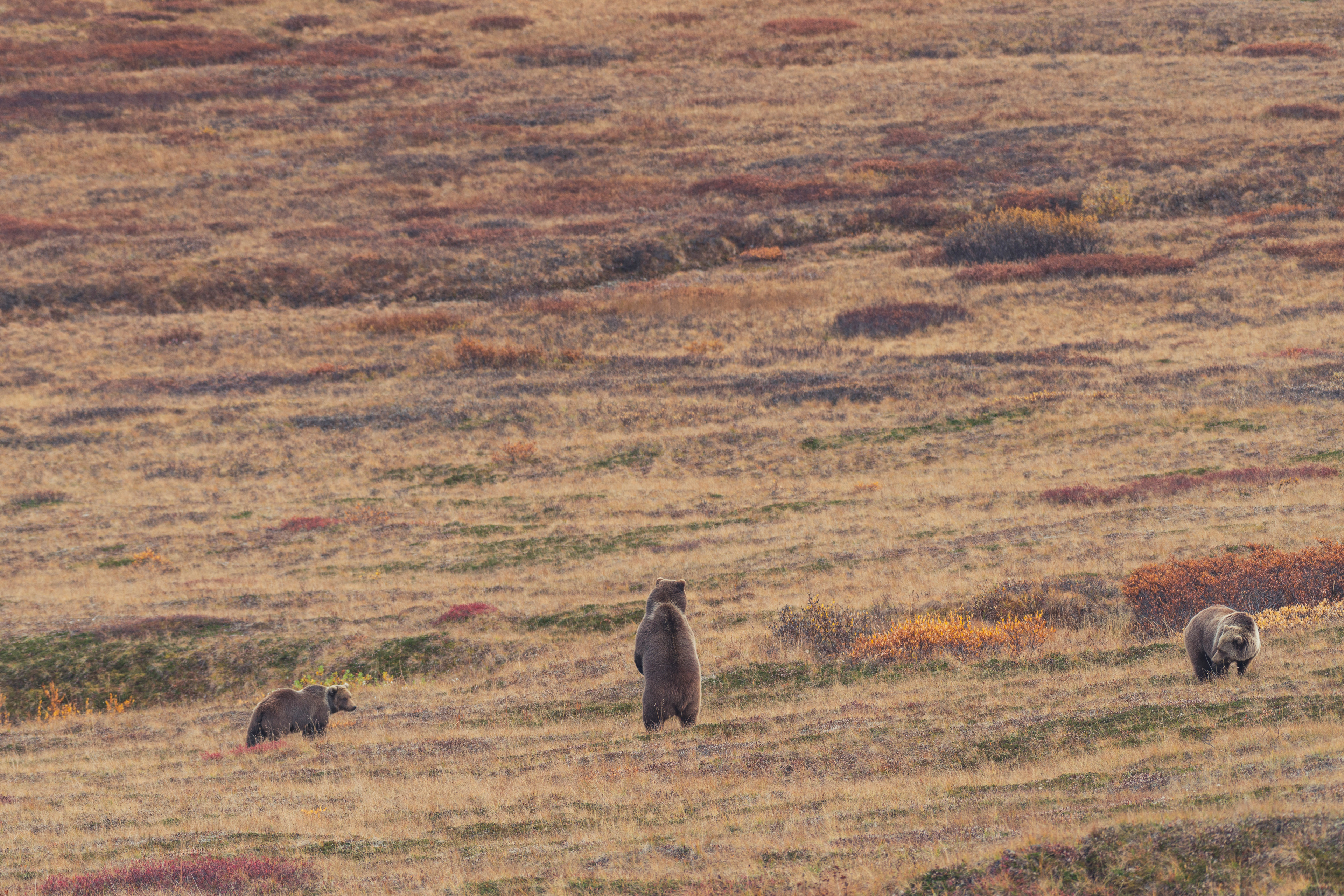
The second bear encounter was better in every way. A sow and a cub, closer, with the light overhead, moving through the tundra. Then they turned toward the road, and the rangers began moving people back, and the sow, in full view of several dozen people with cameras, flopped onto her back and showed us her belly. An animal does not expose its stomach to something it considers a threat. These bears have been watching tourists their entire lives and have drawn their own conclusions about us. Then she got up and crossed the road. The third came on the return trip: three bears together, one of them standing upright to get a better look at the traffic jam it had caused. All three of our bear sightings fell between Sable Pass and the Eielson Visitor Center, and I think that is not coincidence. September is cranberry season, cranberries are a favorite food, and the shrubs through there are thick with them.
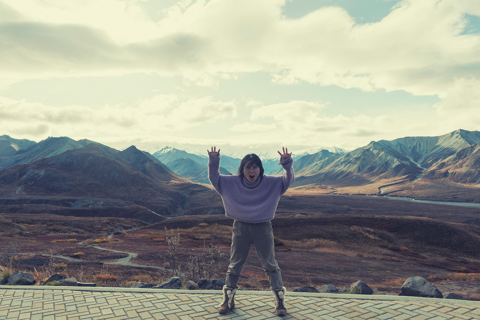
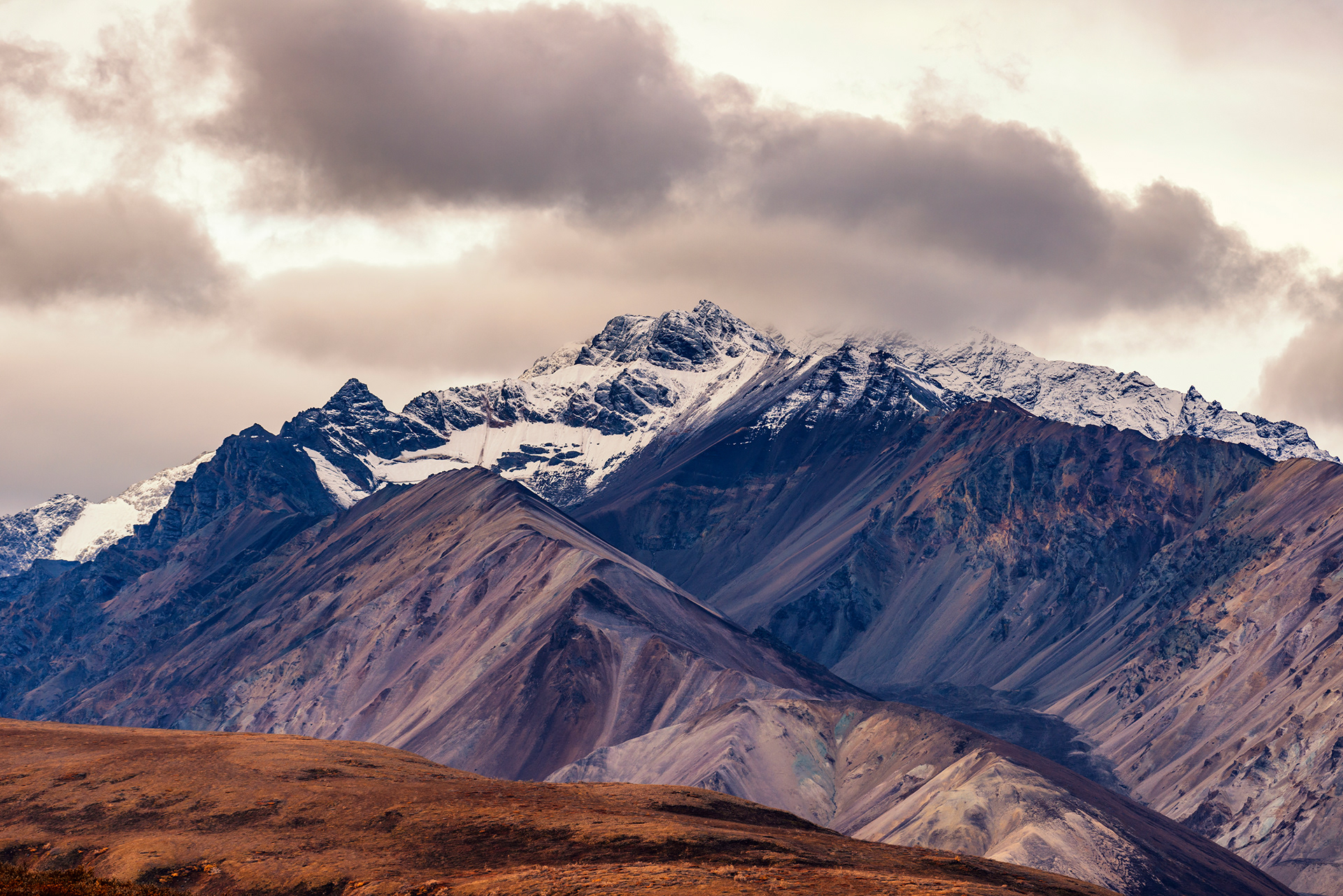
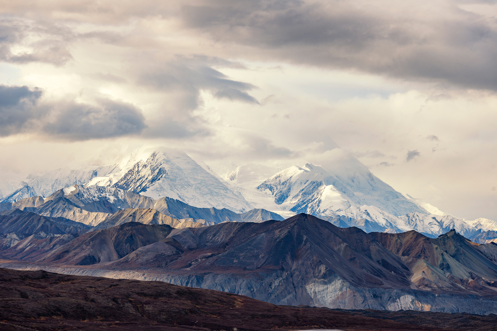
Stony Hill Overlook is the view everyone has seen from this park, even if they do not know it. The road curves away below you and points directly at the highest mountain in North America. We got the curve. The mountain kept its head in the cloud. Eielson Visitor Center, at mile 66, is the main stop in the interior and the best place on the road to see Denali when Denali is willing. It was not. We saw the lower slopes and a great deal of weather. An Arctic ground squirrel came and stood in front of us and was not remotely concerned.
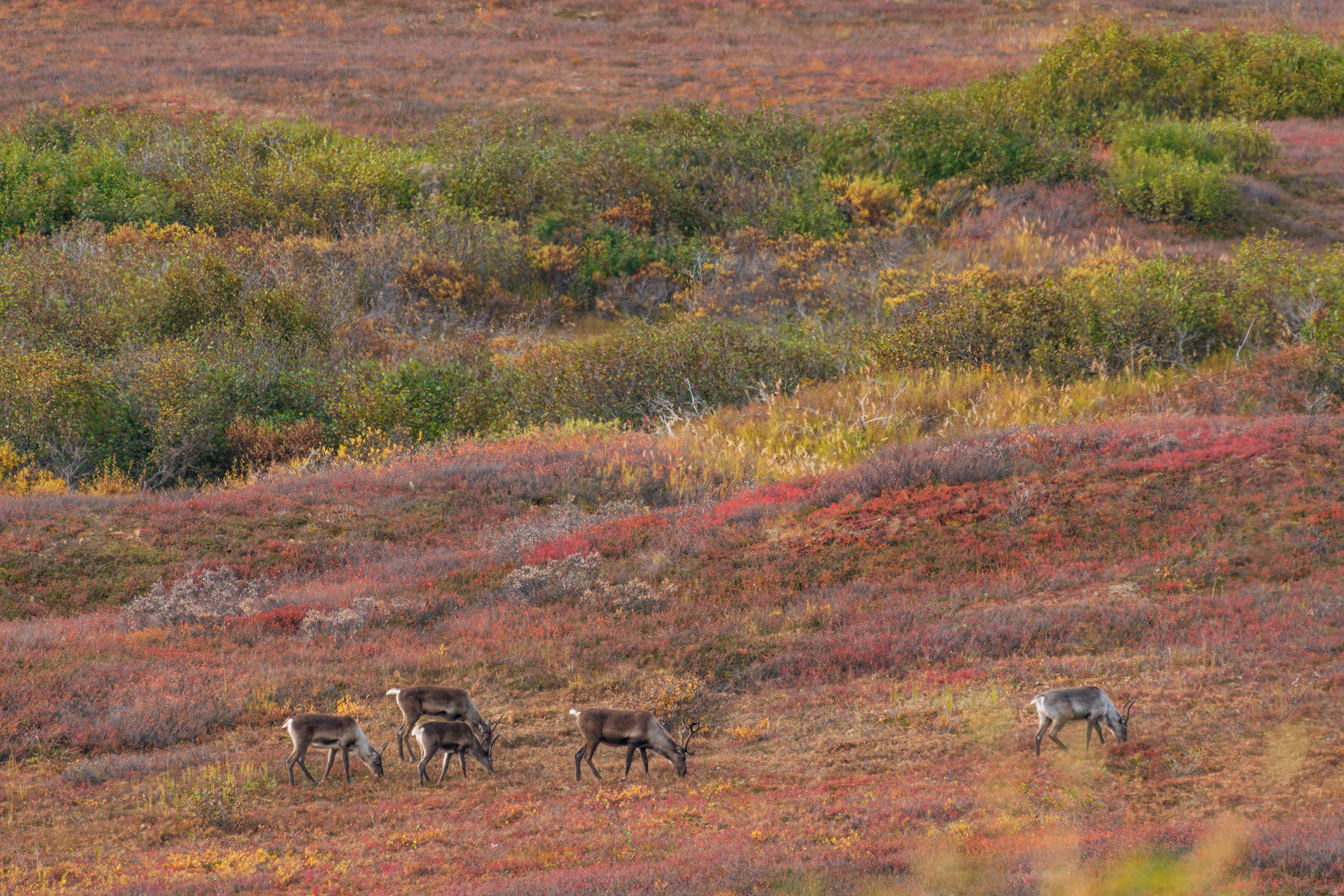
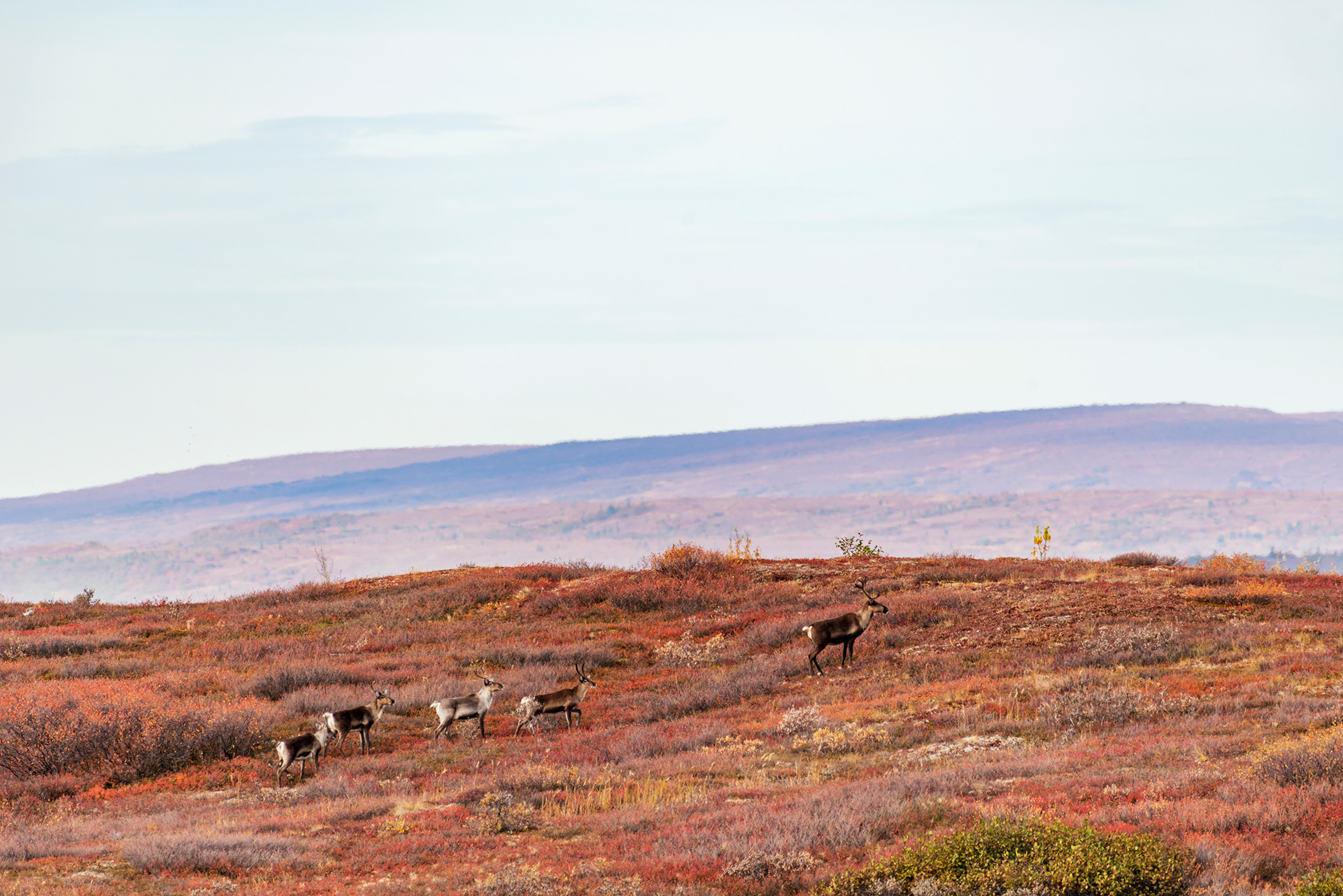
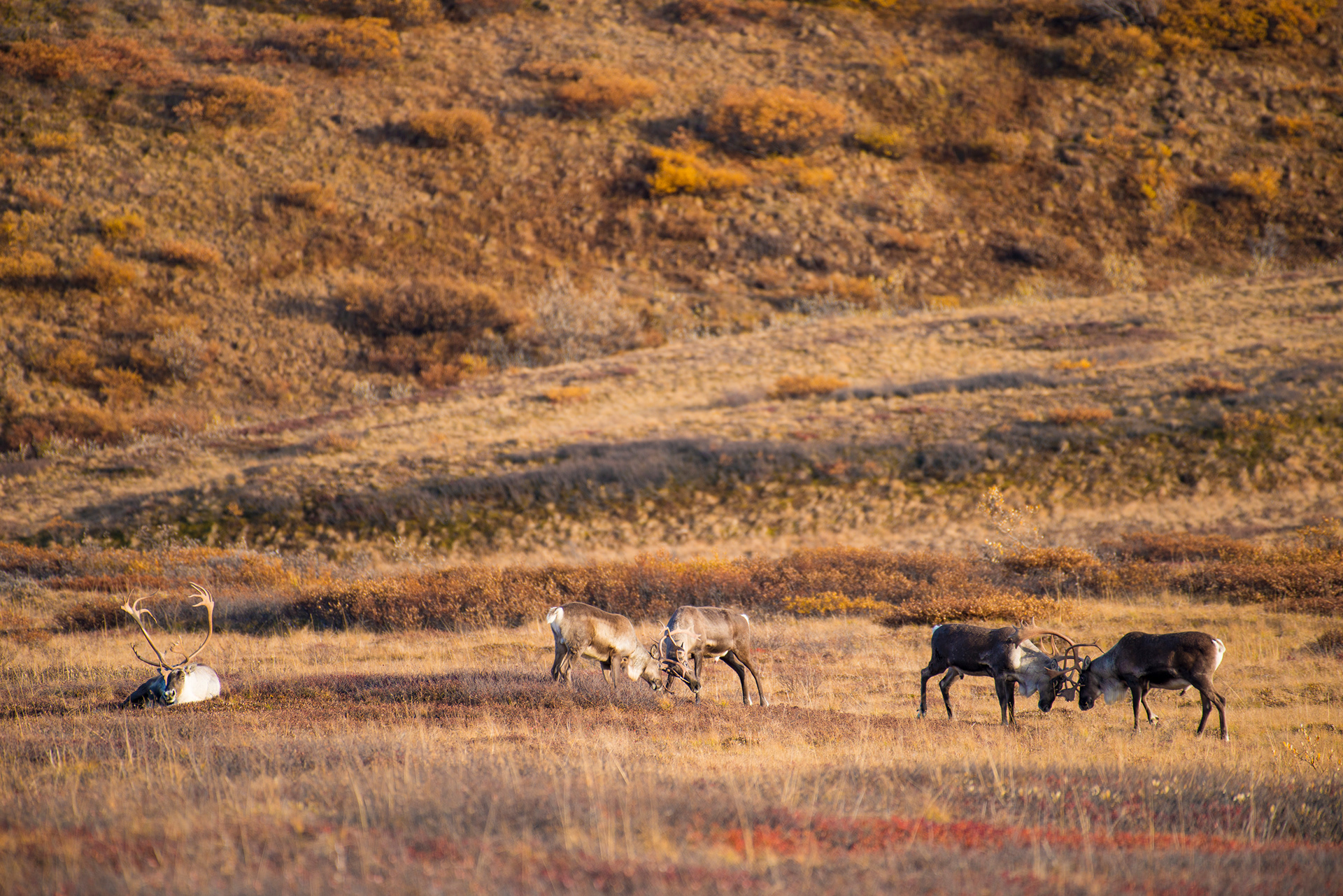
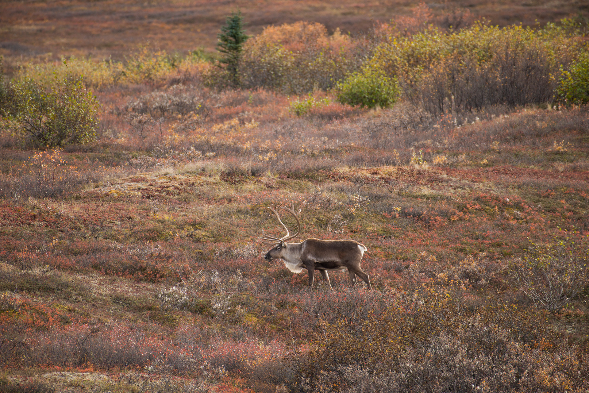
Past Eielson we met caribou, the first of many. This group ran when they saw us, then thought better of it, because a caribou cannot outrun a car and the food was where it was. Caribou are the only deer in which both sexes grow antlers, which is how you tell them apart from everything else out there. By the end of the day we had seen them ten times over and had reached the point of not stopping. On the way back we watched several bulls fight over a cow, with a ring of other animals standing around not participating.
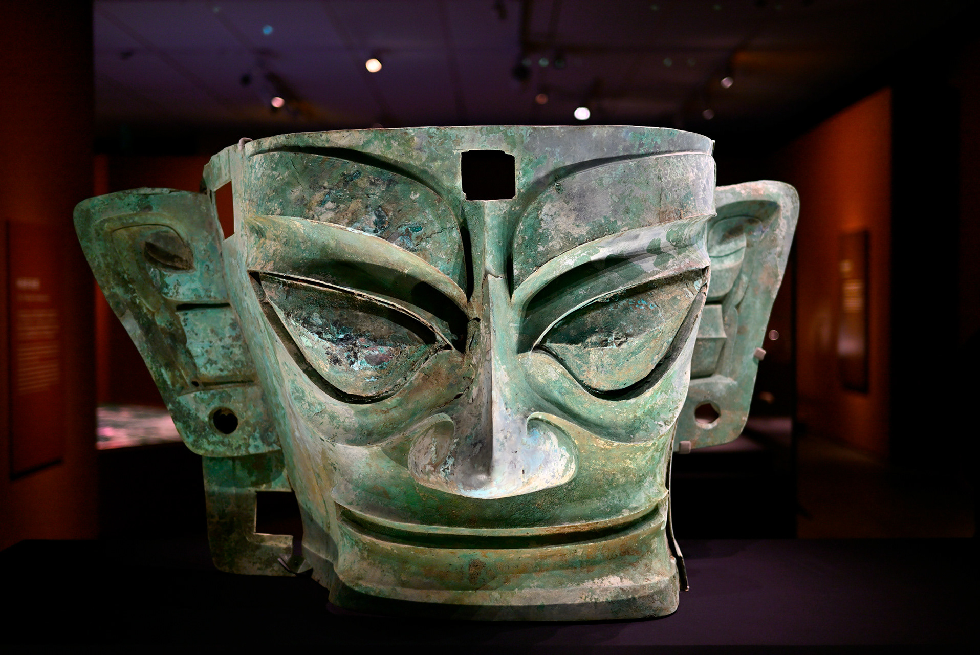
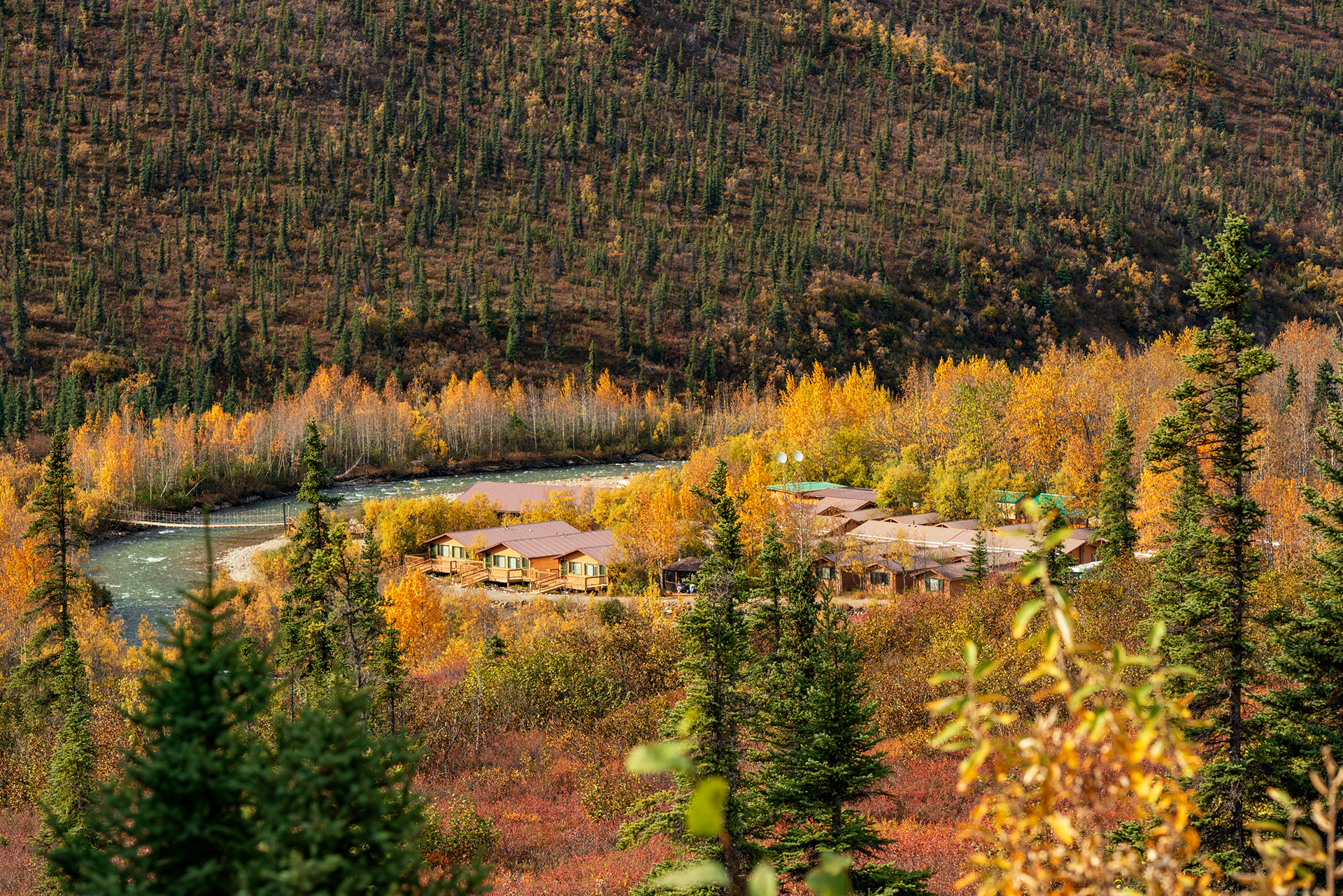
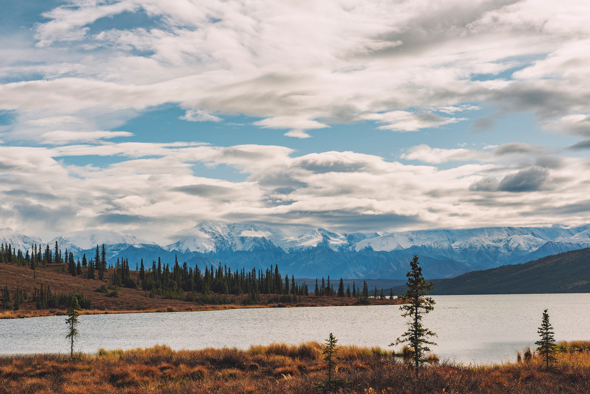
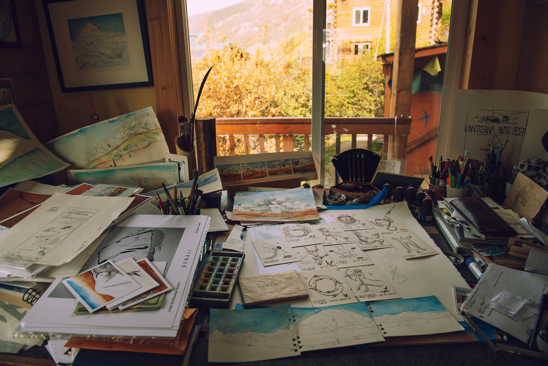
Wonder Lake, near the end of the road, is one of the largest campgrounds in the park and, on a still clear day, the place where the mountain reflects in the water. We did not get that day. The road ends at Kantishna. We had been wondering what to bring home from a day like this one and found an art gallery there, run by someone who lives inside the park, surrounded by mountains, which seems like a reasonable thing to do to yourself if you paint. We bought several paintings. The studio was cluttered and completely convincing. We stayed at Denali Hostel & Cabins, close to the park entrance, inexpensive and good, with a river running past it that we could hear from the bed.









Talkeetna and the Mountain from the Air
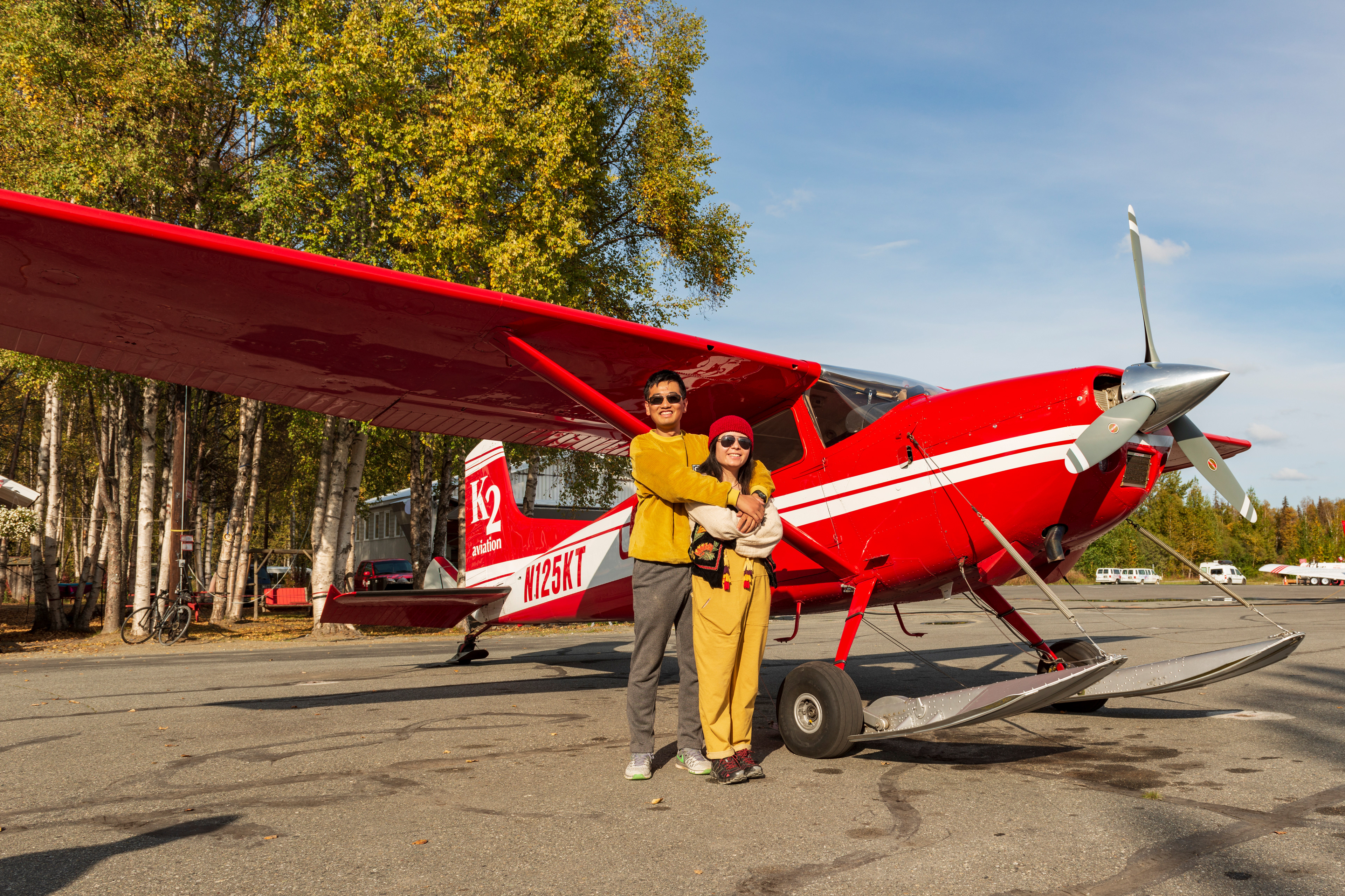
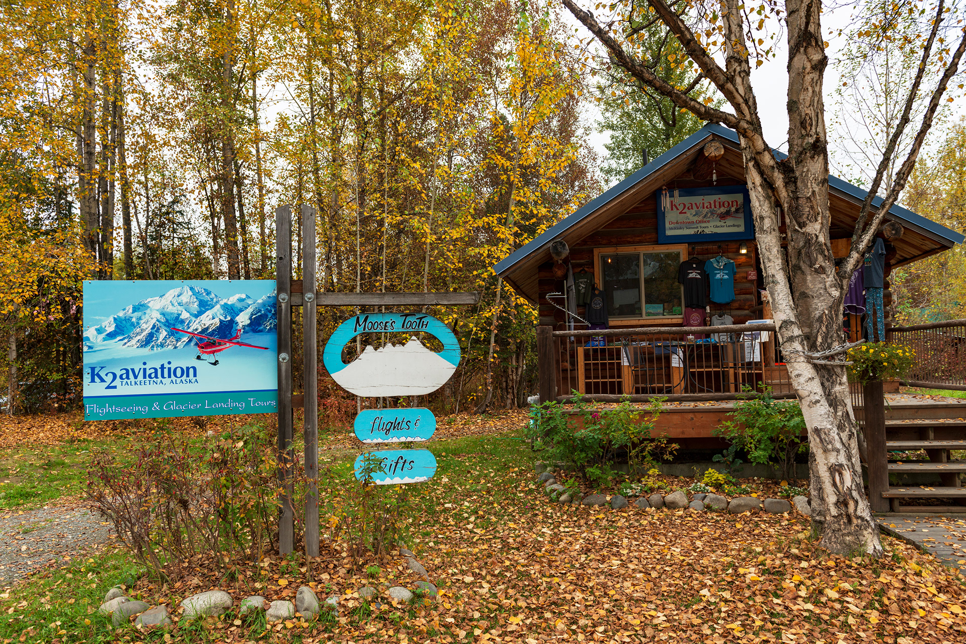
Denali is 20,310 feet, the highest mountain in North America, and it is so large that it generates its own weather. Roughly a third of visitors ever see the summit. We spent two weeks in Alaska and caught it in pieces. The other way to see it is from the air, and the flightseeing operators work out of Talkeetna, a small town off the Parks Highway that has been the staging point for Denali expeditions since the 1950s. We booked with K2 Aviation, and we booked the best thing on the menu: the Denali Summit Tour, which flies over the top of the mountain, with a glacier landing included.
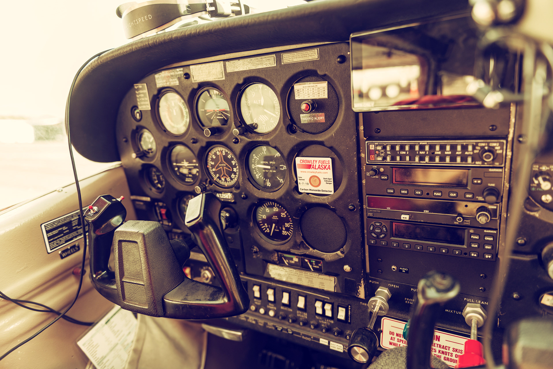
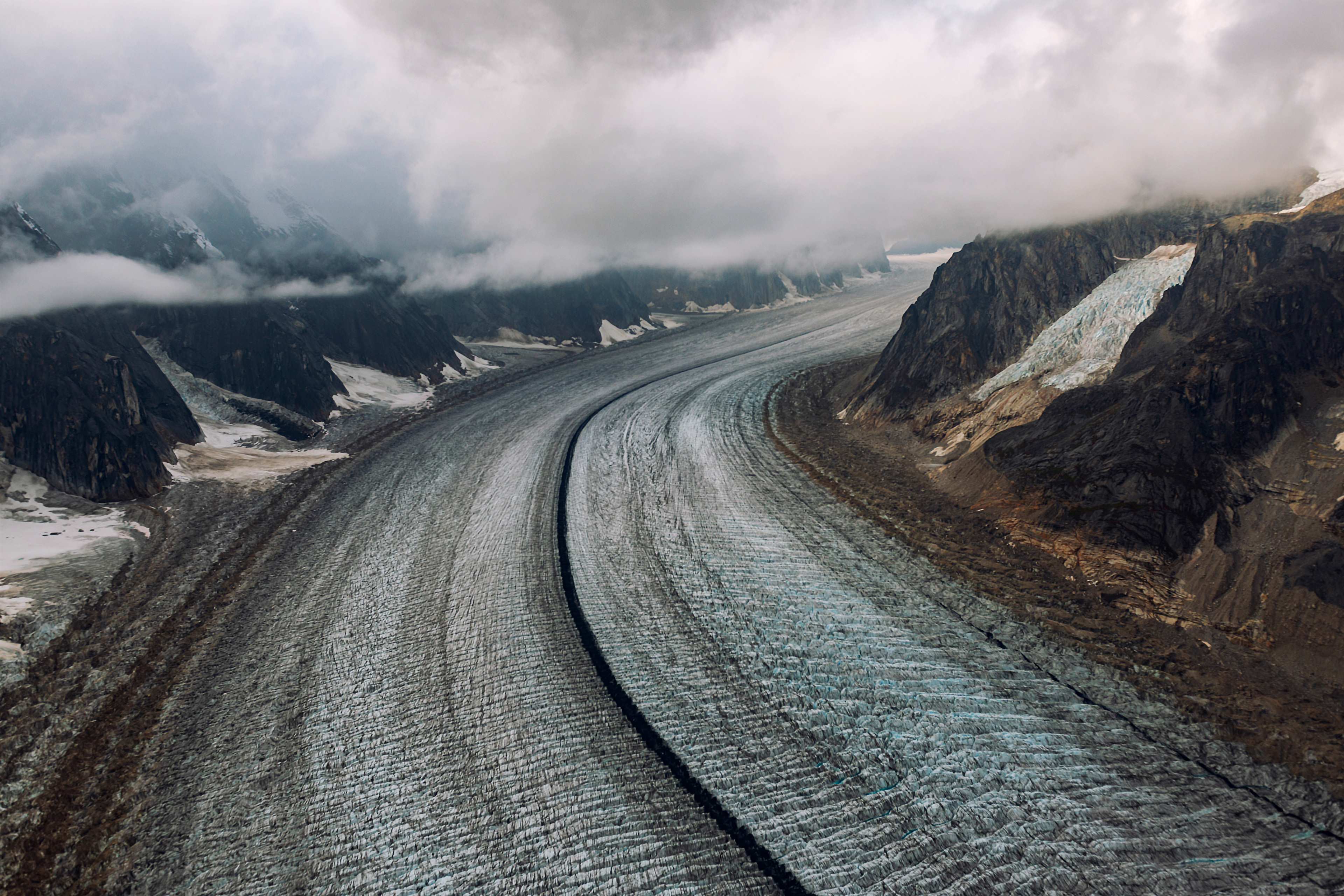
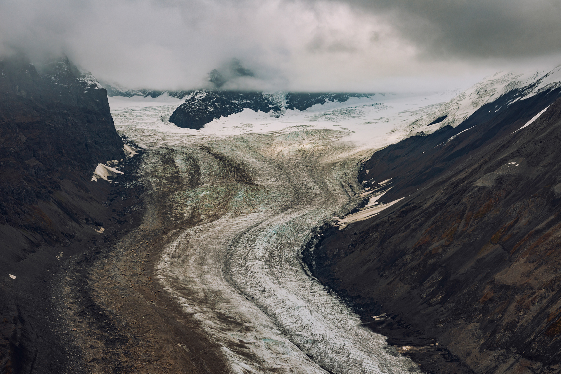
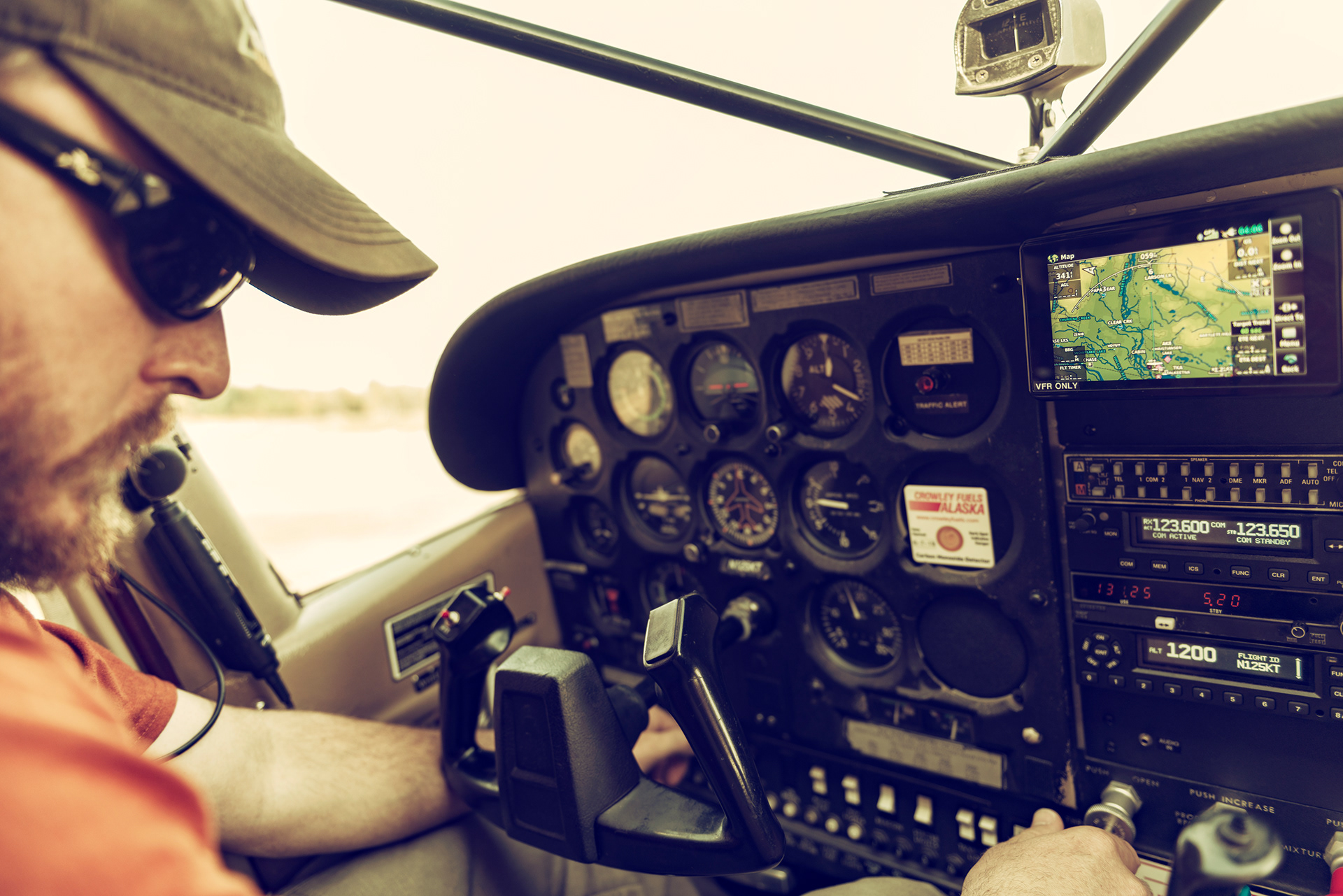
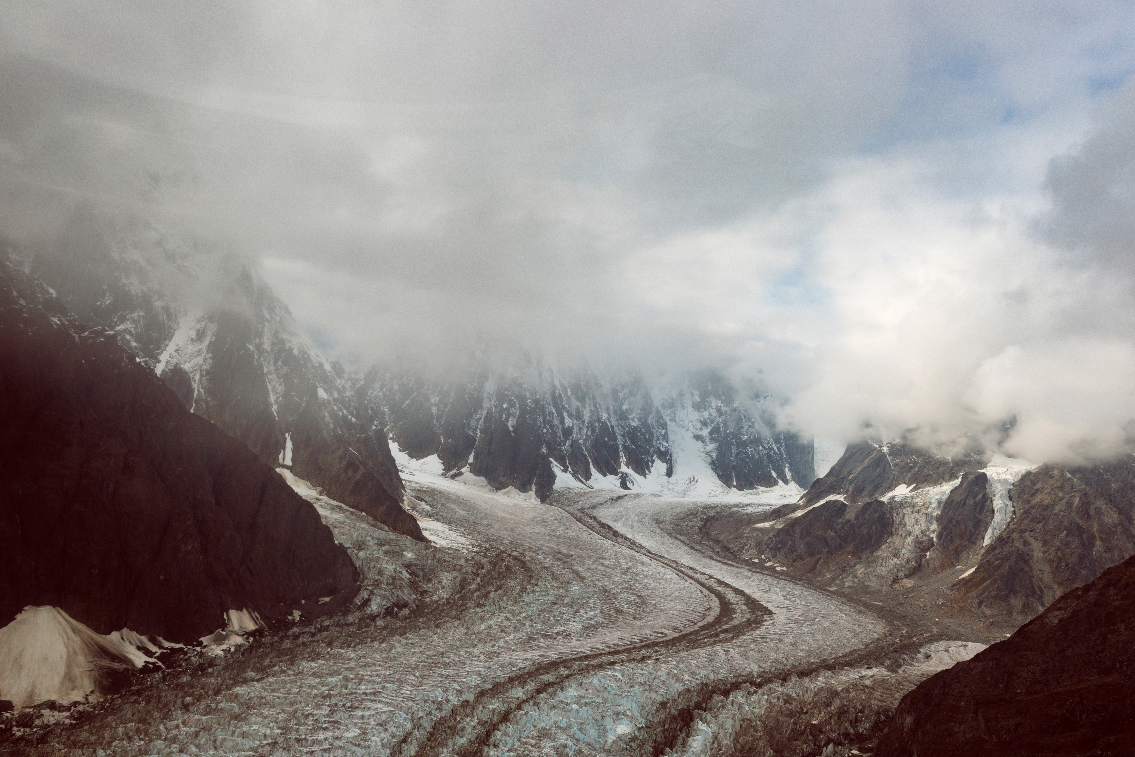
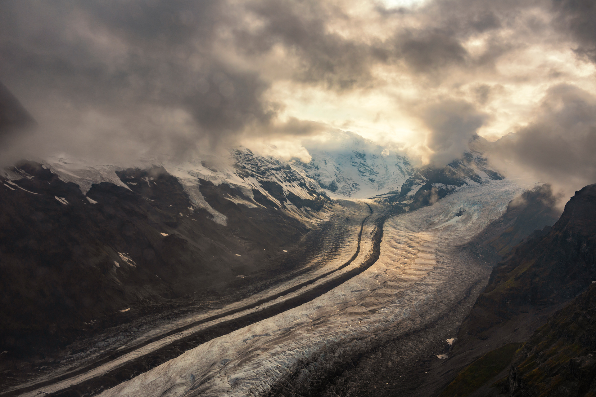
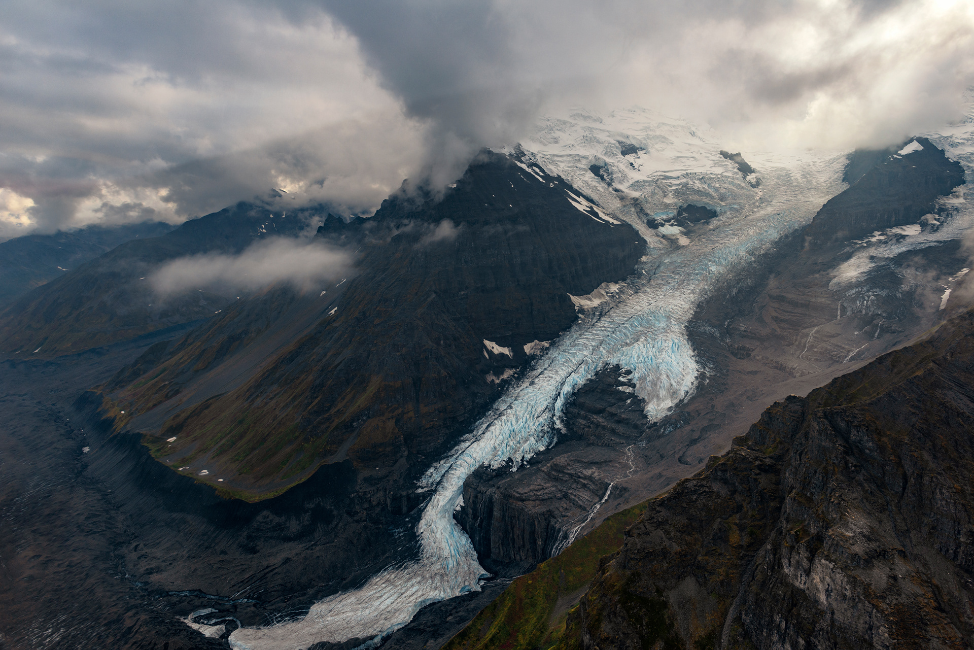
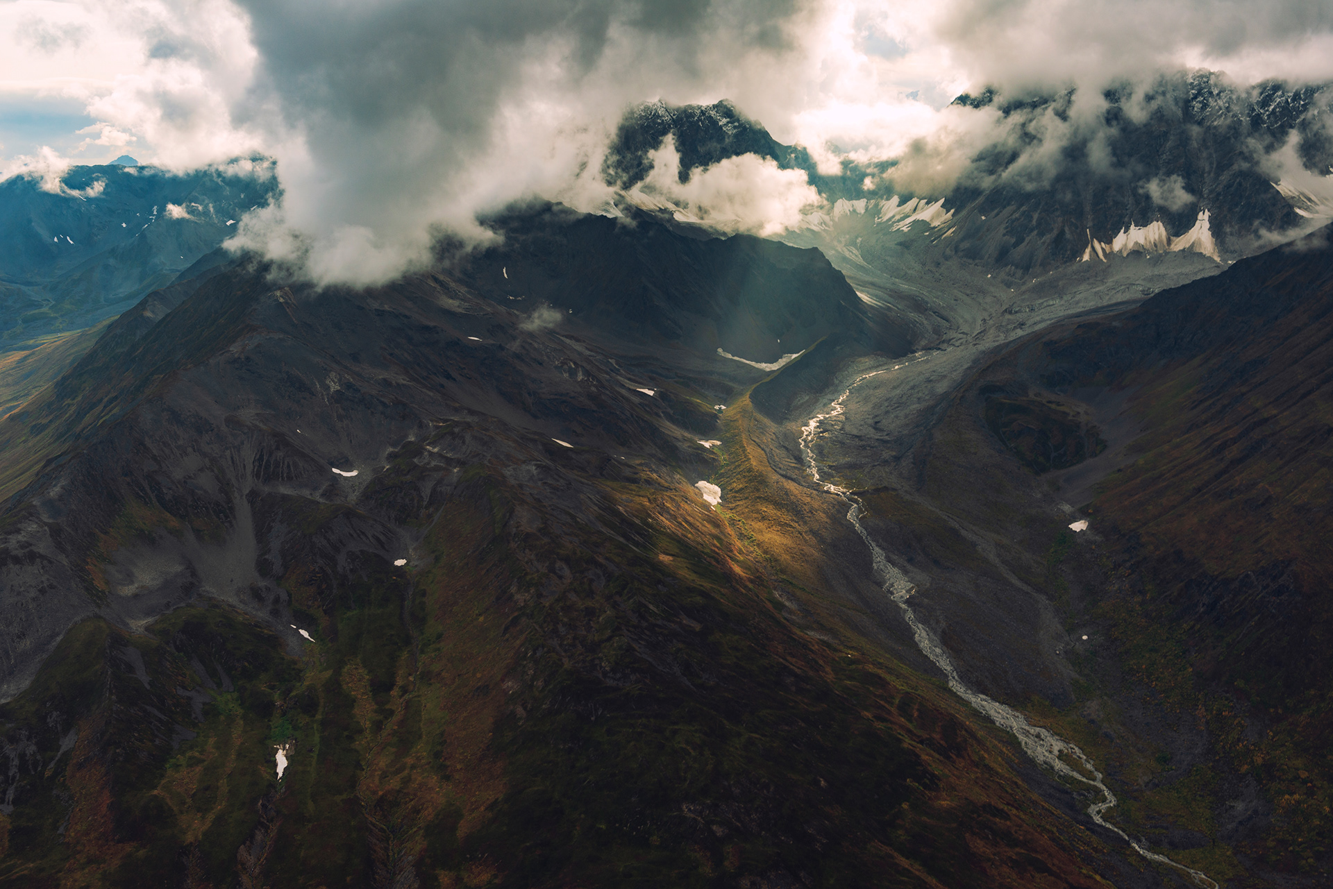
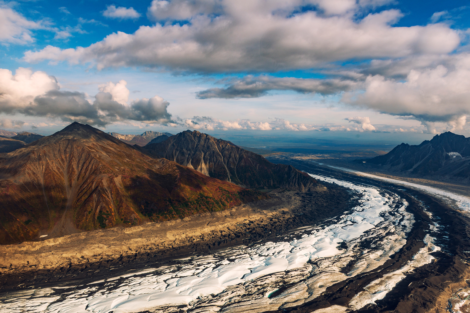
We got neither. The weather over the summit was bad on the afternoon of our flight, so the trip was downgraded to a lower route over two glaciers, and the landing was cancelled. This is normal and you should expect it. Book the flight you want, understand that the mountain decides, and treat what you get as the actual trip rather than a consolation. What we got was a small helicopter, five seats including the pilot's, with one older couple sharing it with us. It was my wife's first helicopter ride. The revised route ran over the Tokositna and Ruth glaciers, and on the way the pilot told us that no flight had seen Denali all day.
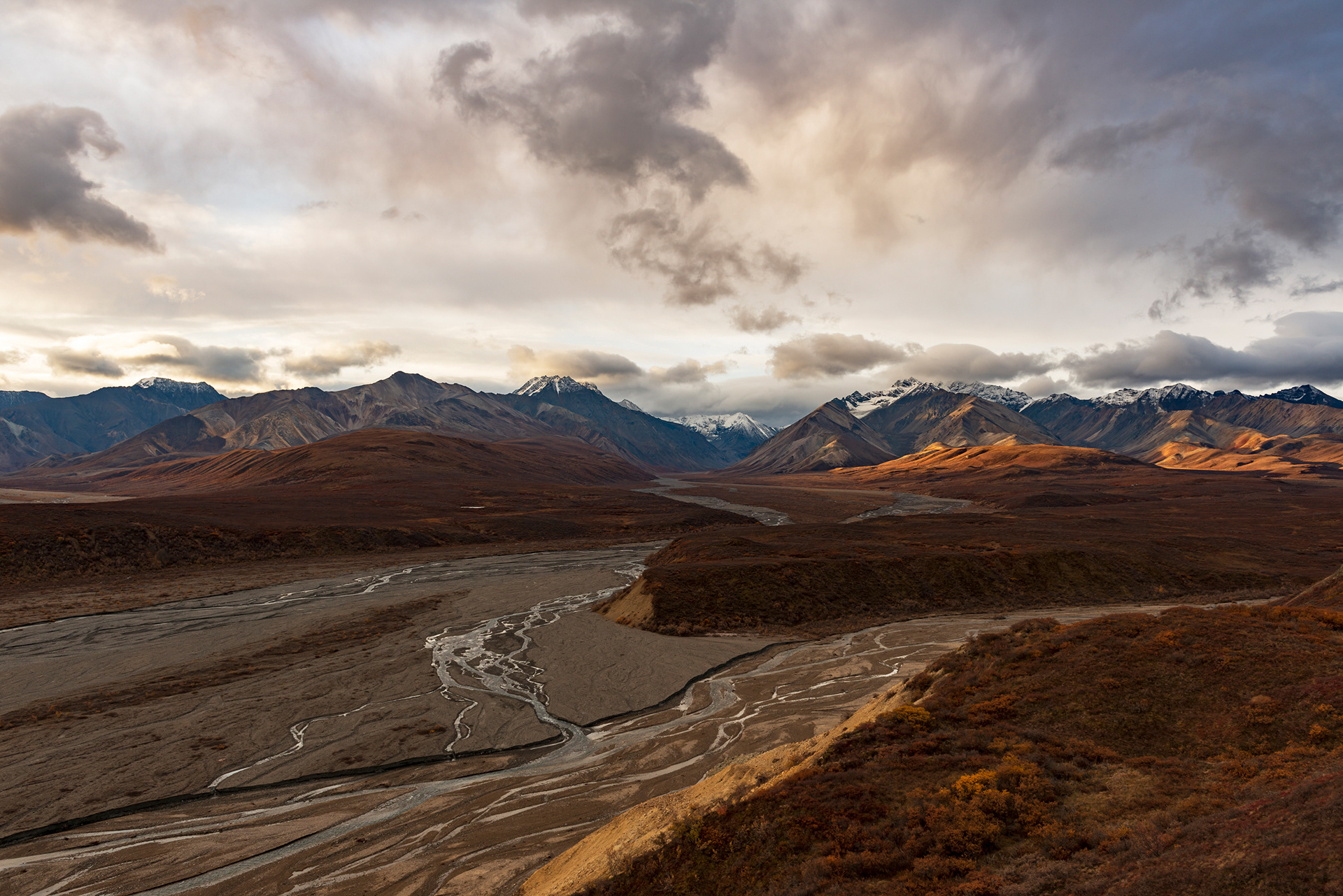
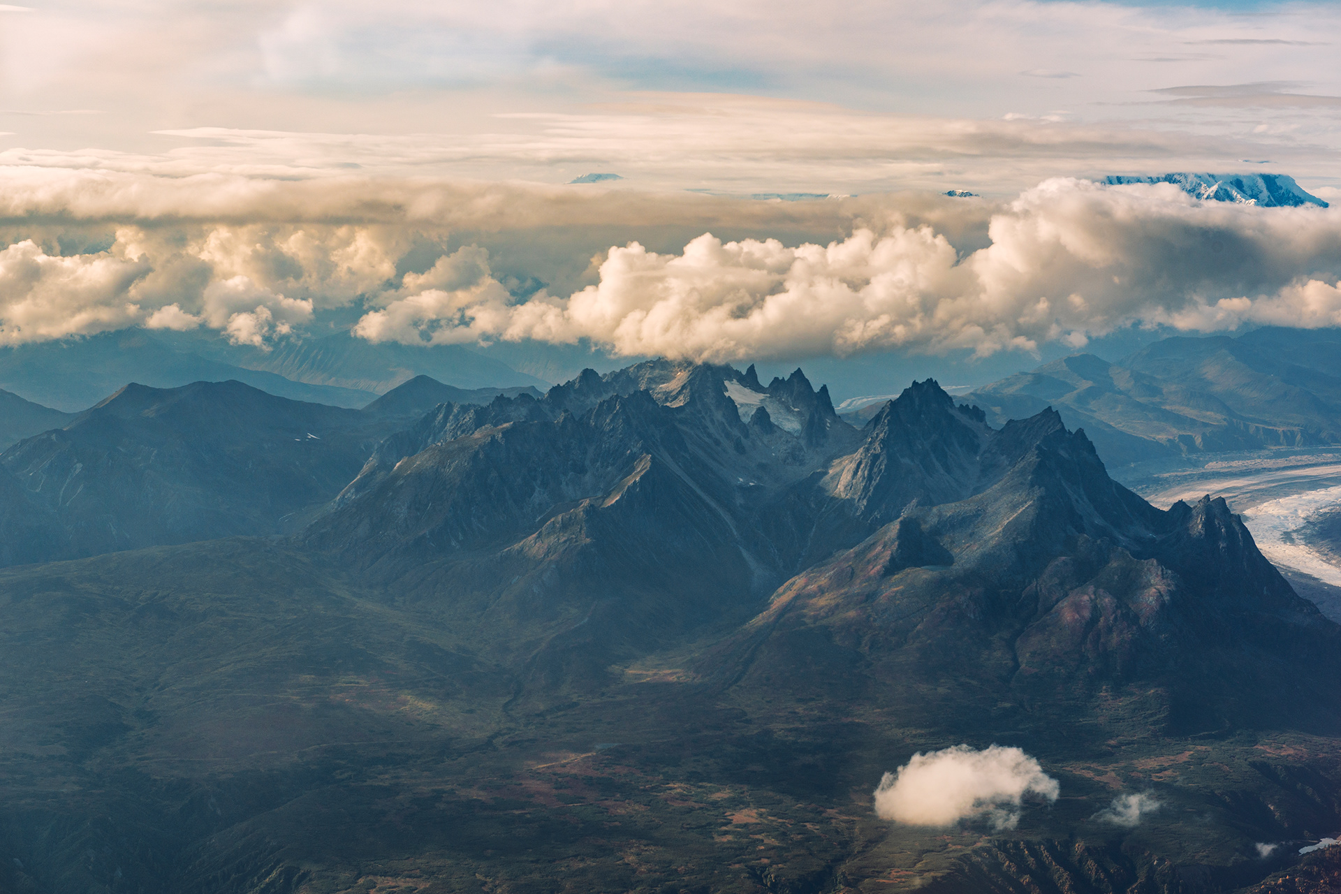
Then we saw Denali. A break opened in the cloud and the summit came out, and the pilot was as pleased as we were and told us how lucky we had been. It lasted about as long as it takes to read this paragraph. The rest of the flight was ice. Glacial tongues filling entire valleys, meltwater pooled into lakes on top of the ice, the Susitna River braided out across a plain below us, a shaft of sun coming down through the cloud deck onto a snowfield. Photographs through a helicopter window flatten everything, and I have not found a way around that, so what I have is a set of images that are technically fine and do not convey the size of any of it.
Talkeetna itself deserves an hour or two. The autumn color was at its peak while we were there. There is a coffee truck parked in the trees, an old train that looks its age, and shops that are worth walking into. Climbers come and go with enormous packs, which gives the whole place an atmosphere of people either preparing for something serious or recovering from it.




Practical Notes
Denali Road Lottery. Applications open in May at recreation.gov. $15 per application, $25 more if you win. Permits can be transferred but not sold, so apply under several names and transfer the winner. Use a credit card that will not expire before the draw, because a declined charge forfeits the permit.
Vehicle. Four-wheel drive with clearance is required for the Denali Park Road and strongly advised for the Denali Highway. Major rental companies prohibit their cars on both, and on the Dalton, and void your insurance if you go anyway.
Boat tours. Take seasickness medication for any full-day trip, regardless of your usual tolerance. For Kenai Fjords, the small-group operators cost more and are worth it.
Kayaking the Columbia Glacier. A full day out of Valdez, with about three hours of it on the transfer boat. The guides supply and fit the layers. Bring gloves, snacks and accept in advance that photography from a two-person kayak is hard.
Glacier trekking. Book a guided trip on the Matanuska rather than going alone. Ice caves are a summer and winter feature and are unlikely in September. Overcast days are better than sunny ones for photographing ice, on the glacier and on the water both.
Harding Icefield Trail. 4.1 miles each way with roughly 1,200 meters of gain, five to six hours round trip. Carry more layers than the trailhead temperature suggests. Bear country the whole way.
Season. Mid-September is the end of the line for a lot of this. Tour operators finish their seasons, shops on the Homer Spit close, and Denali Park Road shuts shortly after the lottery days. Going a week or two earlier buys you more open businesses and costs you some autumn color.
Looking Back
Two weeks was not enough, and I knew that while we were still driving. We gave the Denali Highway one day when it deserved four. We saw Wrangell-St. Elias only as a line of mountains on the eastern horizon from the Richardson Highway, and it is the largest national park in the country. We never got to Gates of the Arctic properly, never landed on a glacier, never saw a bear catch a salmon. The list of what we missed is longer than the list of what we did.
What Alaska changed, for me, is the idea that a trip should be efficient. I had built this itinerary the way I build everything, with the days packed and the driving optimized, and the best parts of it were the parts where the plan fell apart. The bear flight that got cancelled gave us a slow day in Homer eating oysters and watching gulls. The summit tour that got downgraded put us over two glaciers we would not otherwise have seen, and then gave us the mountain anyway, for a minute, when nobody else had seen it all day. The weather ran this trip more than I did, and the weather did a better job.
We will go back. Not to see new places, or not only for that, but to do a few of these properly: to camp on the Denali Highway with no schedule, to fly into Katmai in a year when the bears are behaving, to get further into Wrangell-St. Elias than the visitor center. Alaska is not a destination you finish. That is either its great flaw or the entire point, and after two weeks and four thousand miles I am fairly sure which.