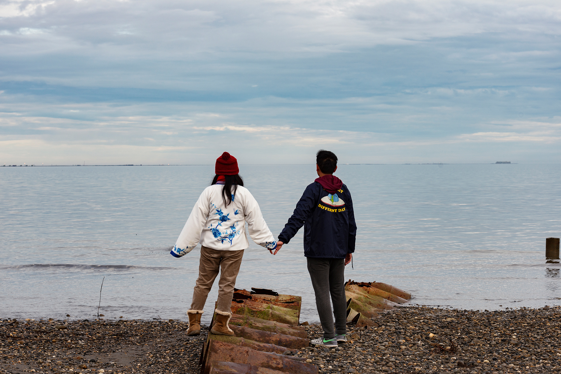
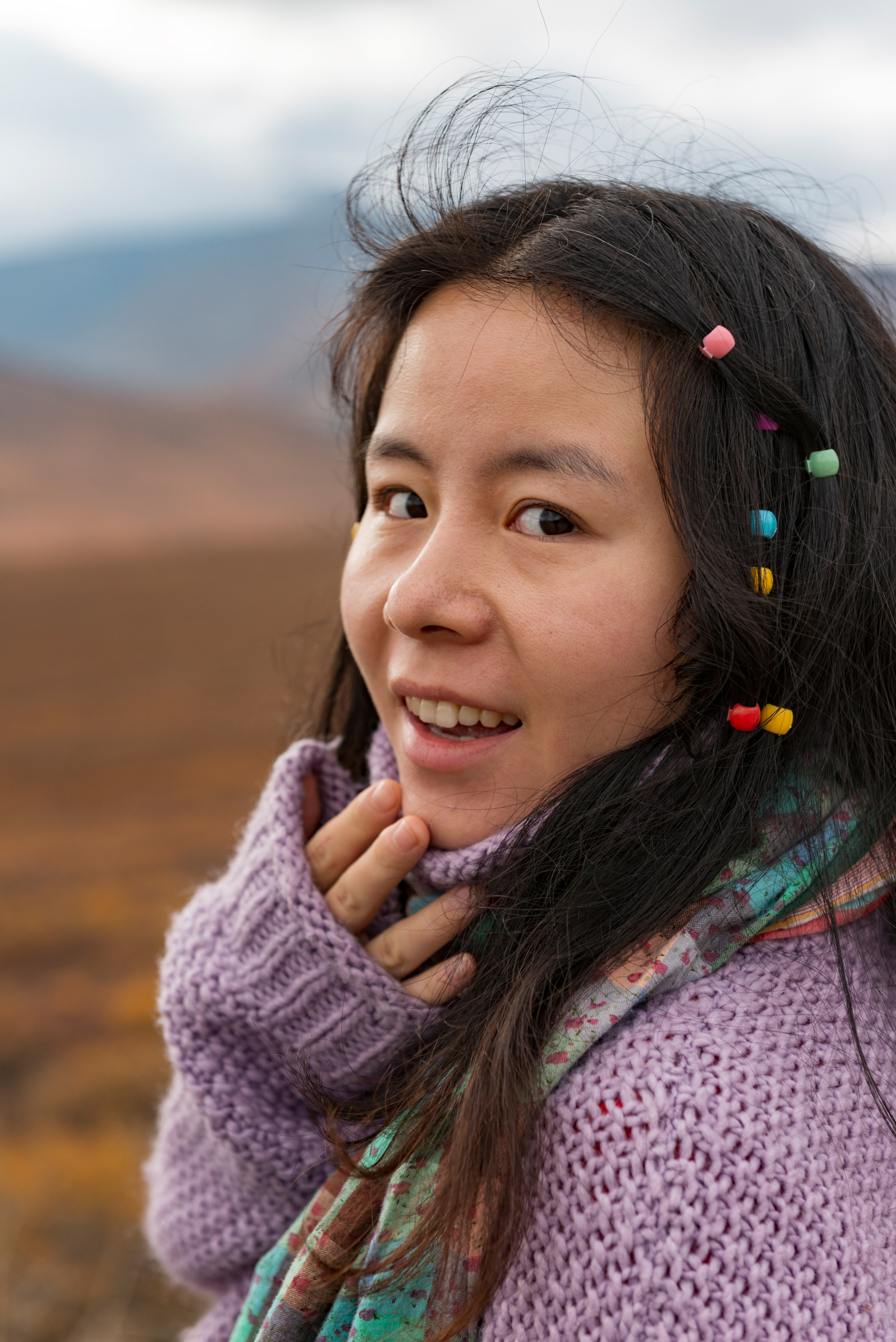
Some places exist on a different register. You don't just visit them — you reckon with them. Alaska is that kind of place. I'd been dreaming about it for years, and when the opportunity finally aligned — a milestone birthday, a wedding anniversary, and a once-in-a-decade Denali Road Lottery permit we somehow managed to pull — we designed a 15-day itinerary that would take us through almost every paved and unpaved road the state has to offer.
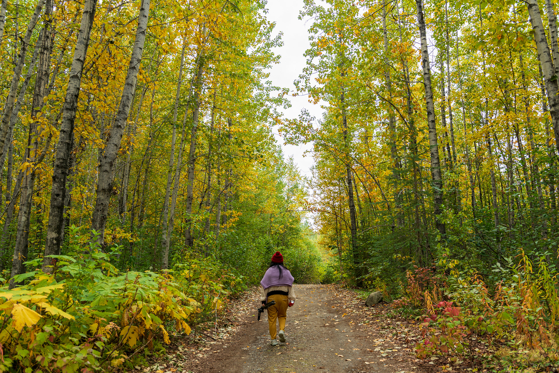
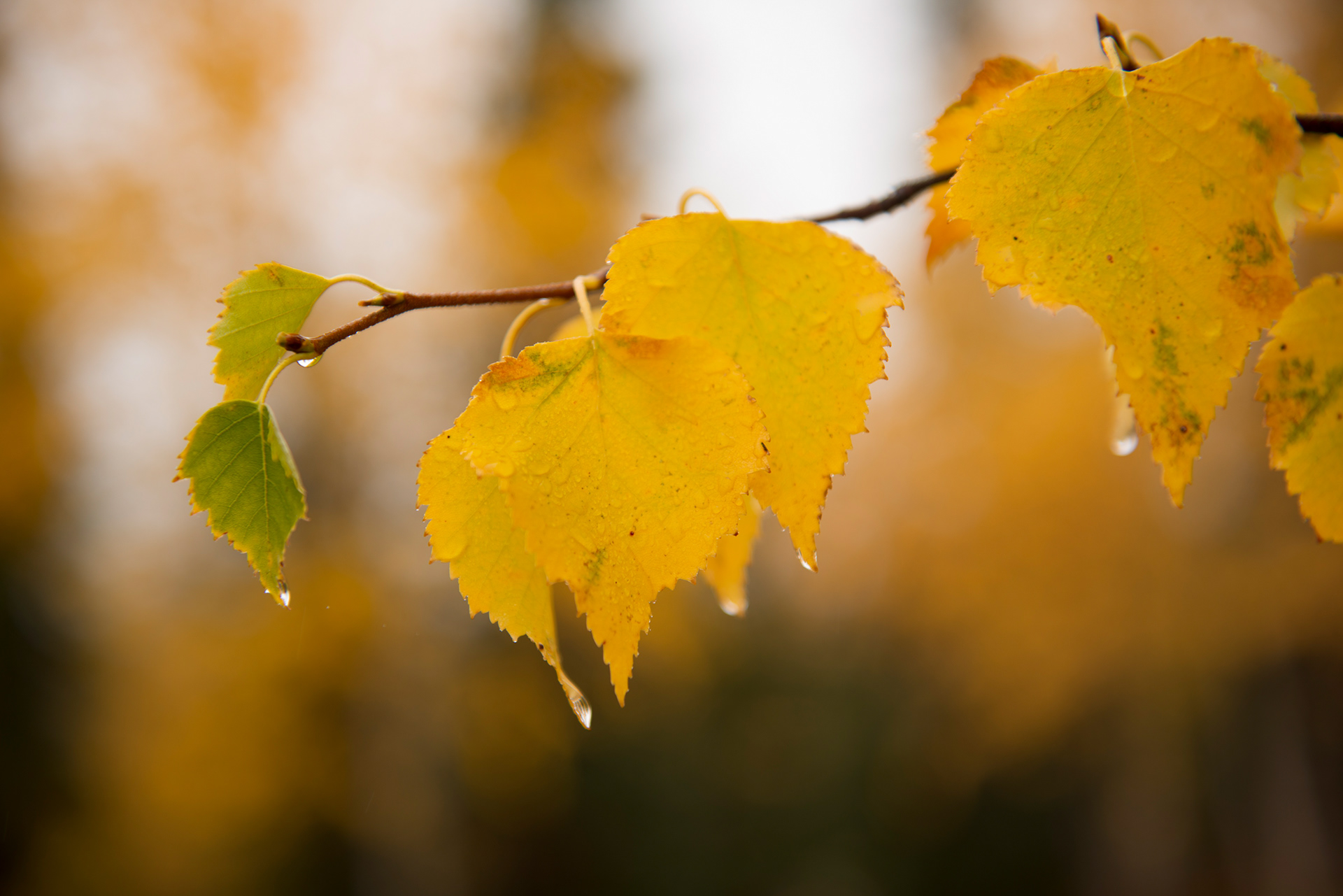
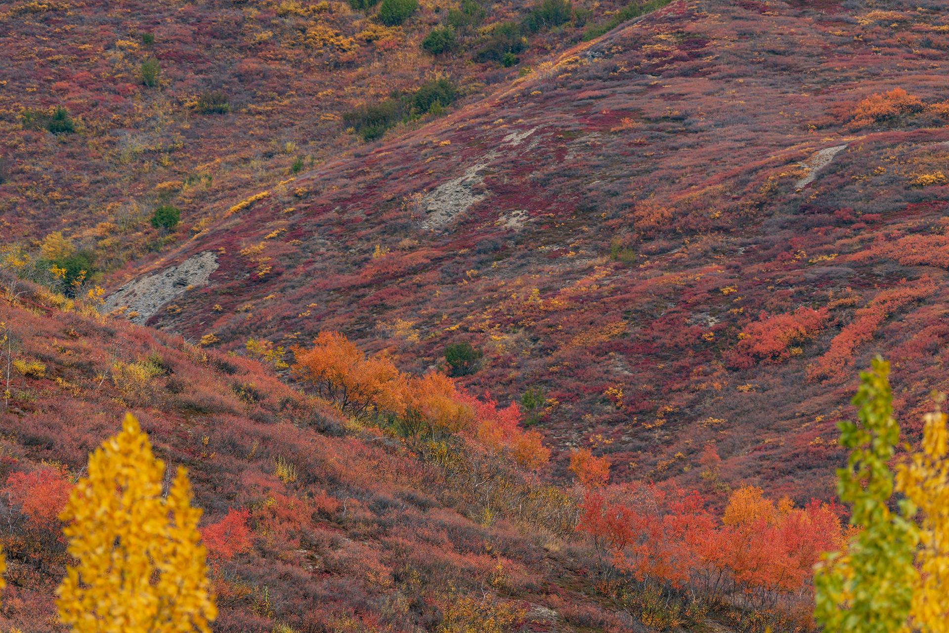
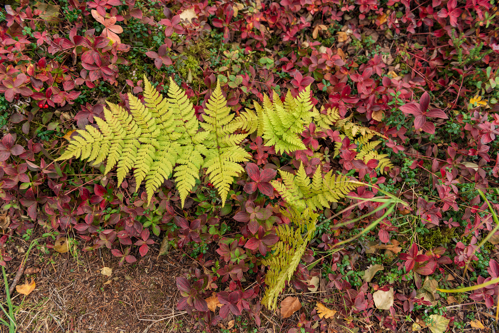
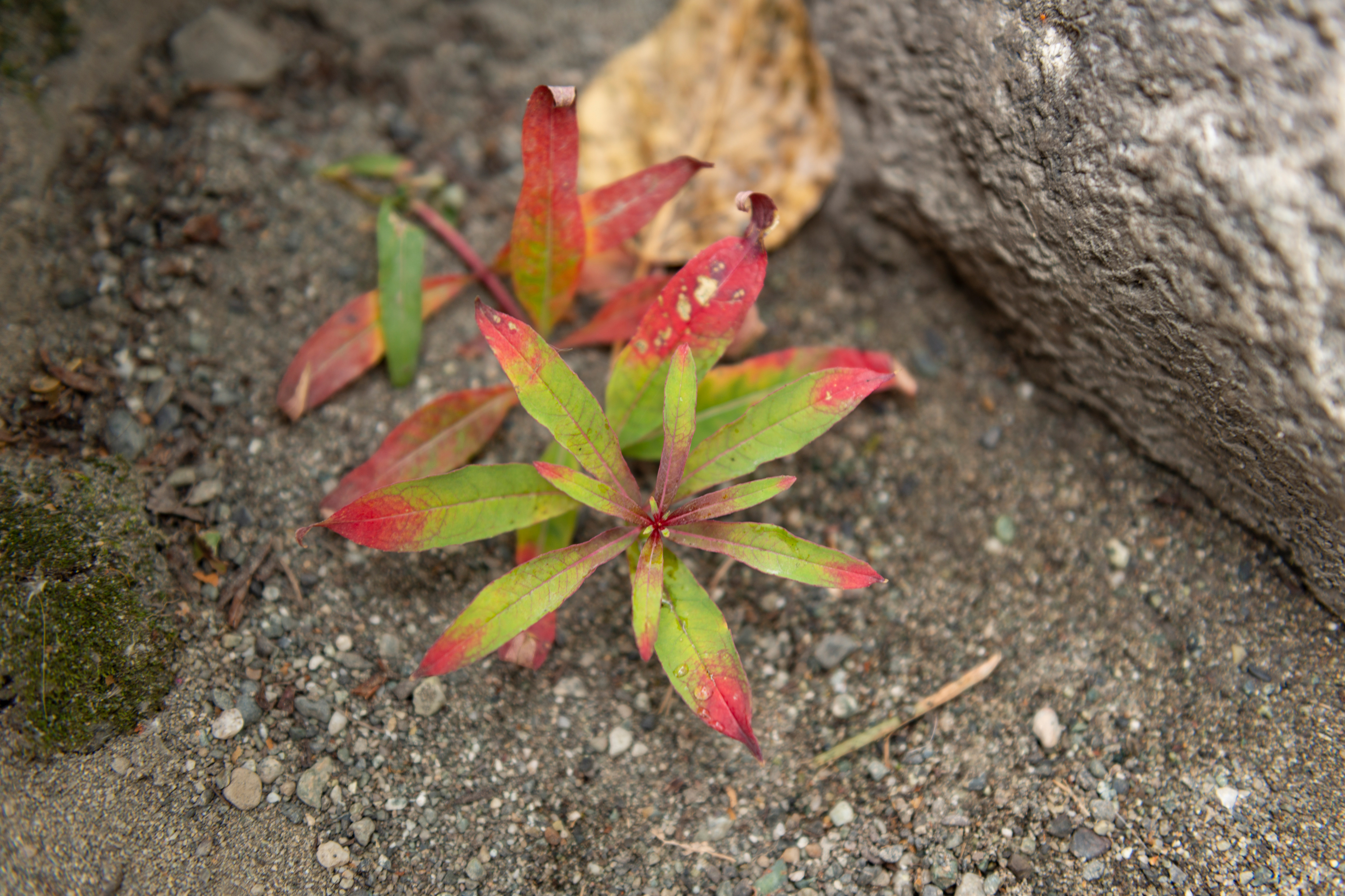
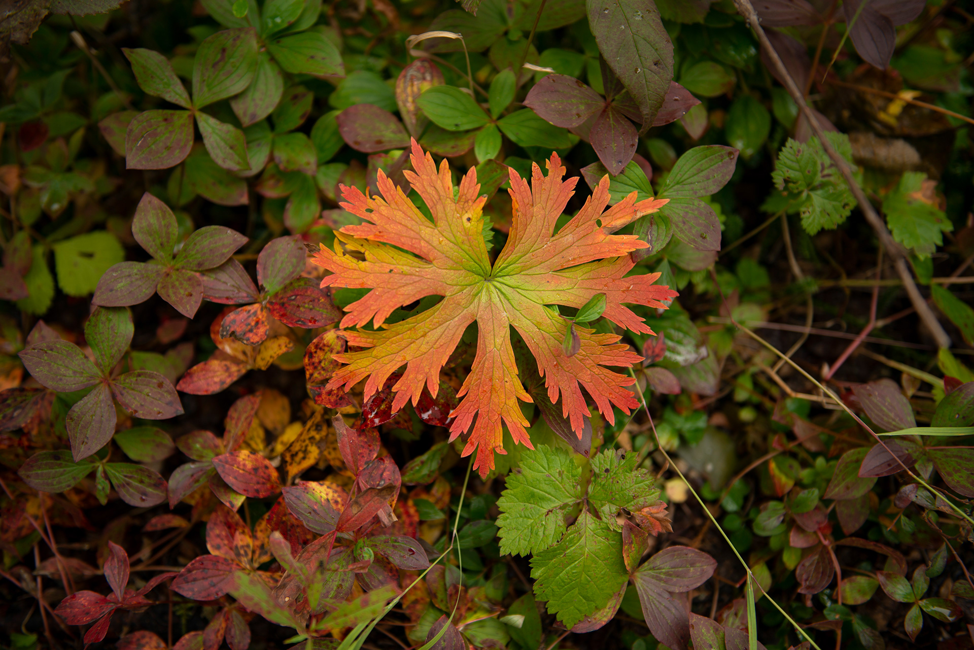
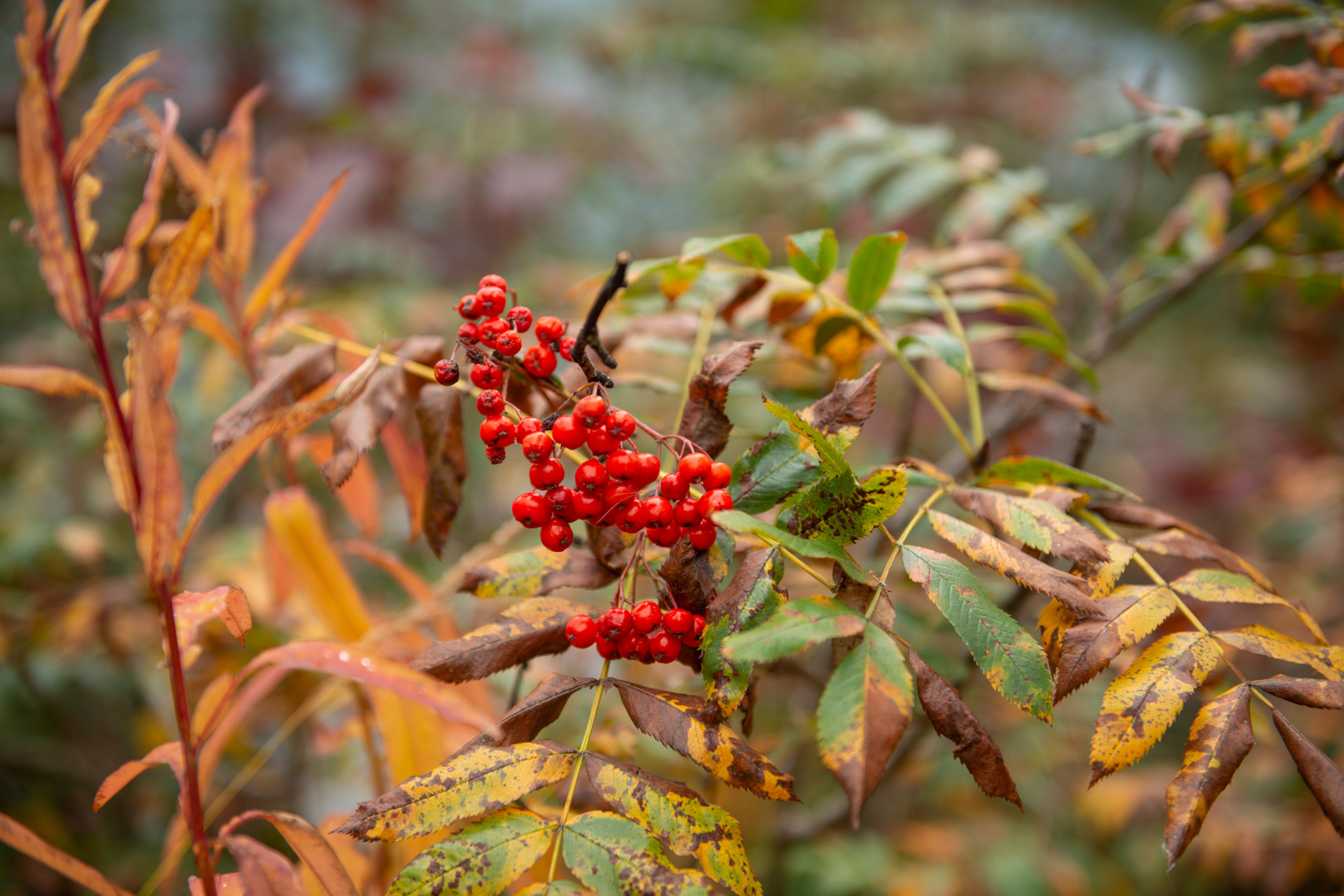
We chose late August through early September deliberately. It's a narrow window that threads several needles at once: the tourist season is winding down so prices are lower and crowds thinner; the brief Alaskan autumn paints the tundra and boreal forest in a blaze of crimson, gold, and amber; the aurora season reopens after the summer's midnight sun; and the wildlife is hyperactive, gorging on calories before winter locks everything down. In every way that mattered, the timing was exactly right.
This is the story of the northern half of that journey — a trek up the Dalton Highway through the Arctic Circle to the edge of the Arctic Ocean, a night when the sky turned inside out above us, and everything that happened on the road in between.

The State That Defies Intuition
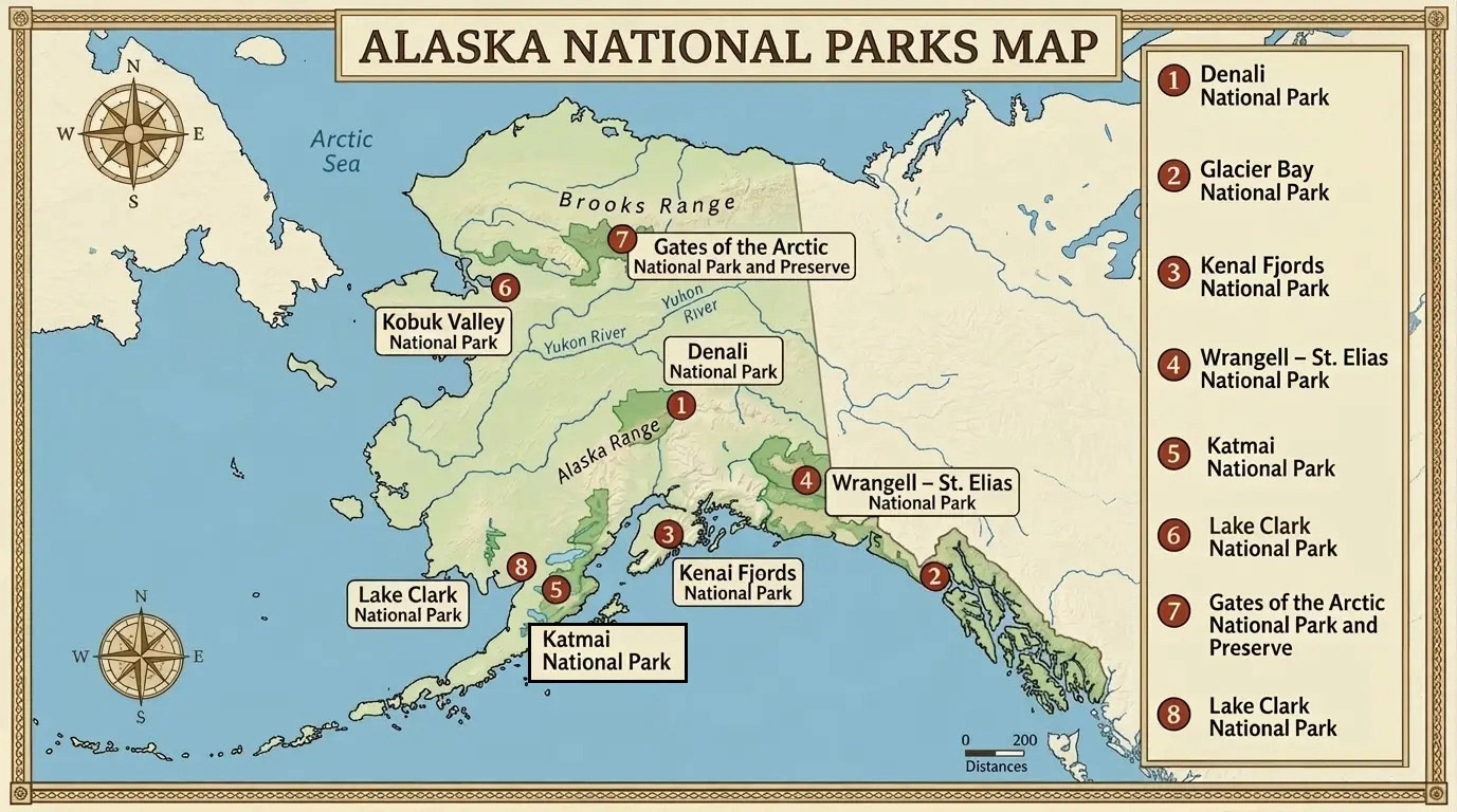
Alaska confounds expectations at every turn. It's the largest U.S. state by a margin that's almost embarrassing — larger than the next three largest states combined. It holds three of the country's geographic extremes: the northernmost point (Barrow, on the Arctic Ocean), the westernmost point (the Aleutian Islands, which actually cross the International Date Line and technically give Alaska the easternmost point too). It has more glaciers than the rest of the inhabited world combined, more coastline than all other U.S. states put together, and eight national parks.
What it doesn't have much of is roads. The highway network is sparse by design, not neglect — most of Alaska is simply untouched wilderness. We drove nearly every major road in the state over fifteen days, and that still left enormous blank spaces on the map. That feeling of frontier is not a marketing slogan. It is the texture of the place.
The Dalton Highway
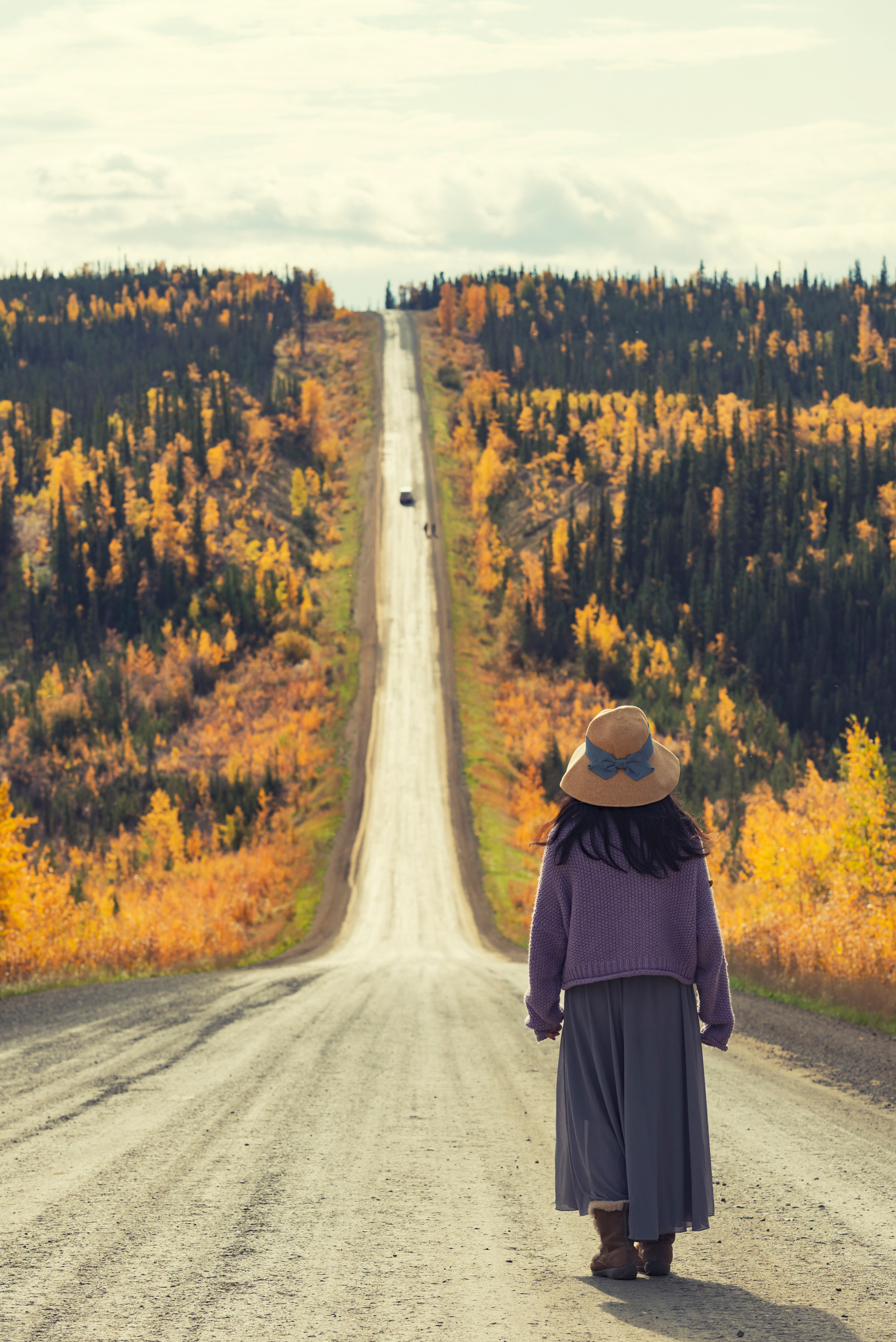
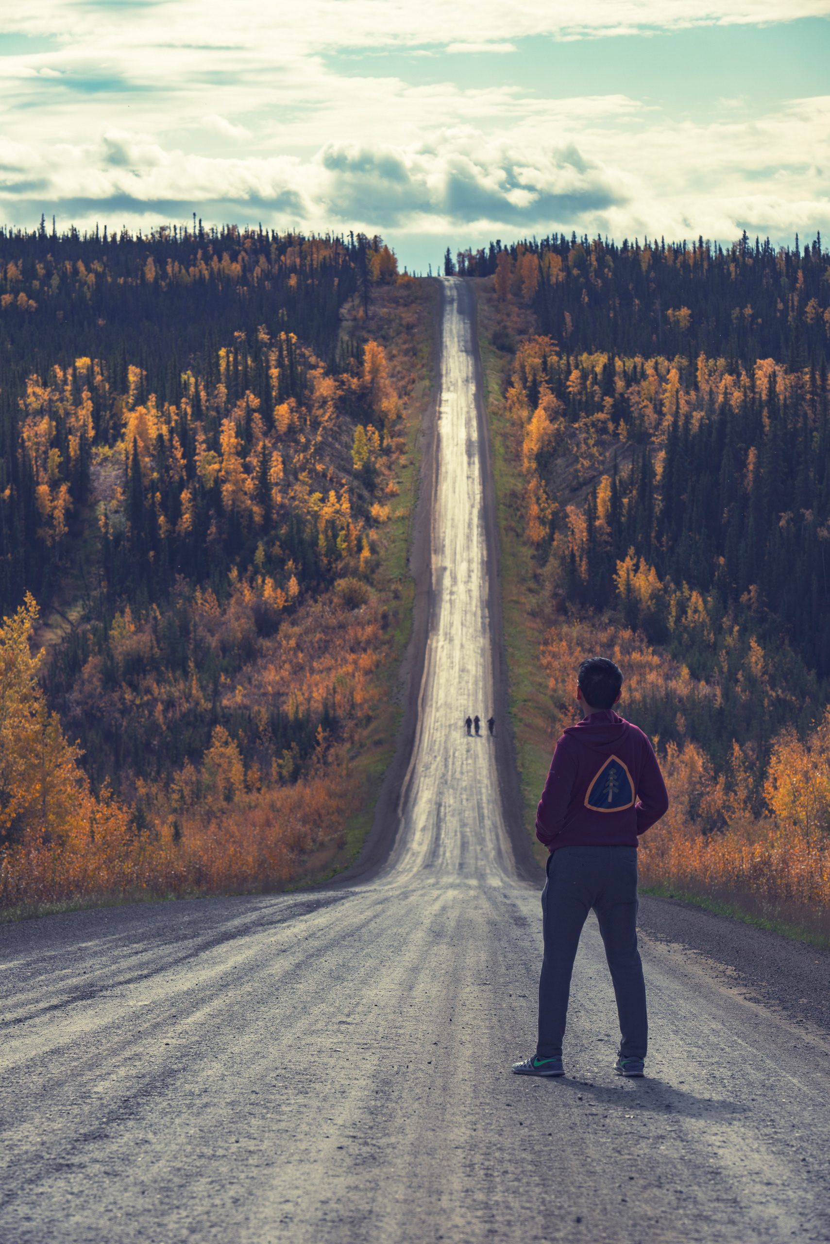
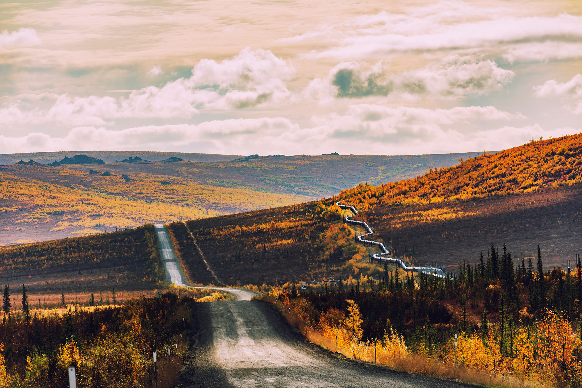
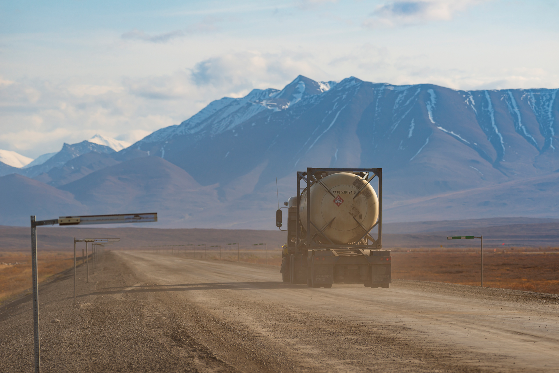
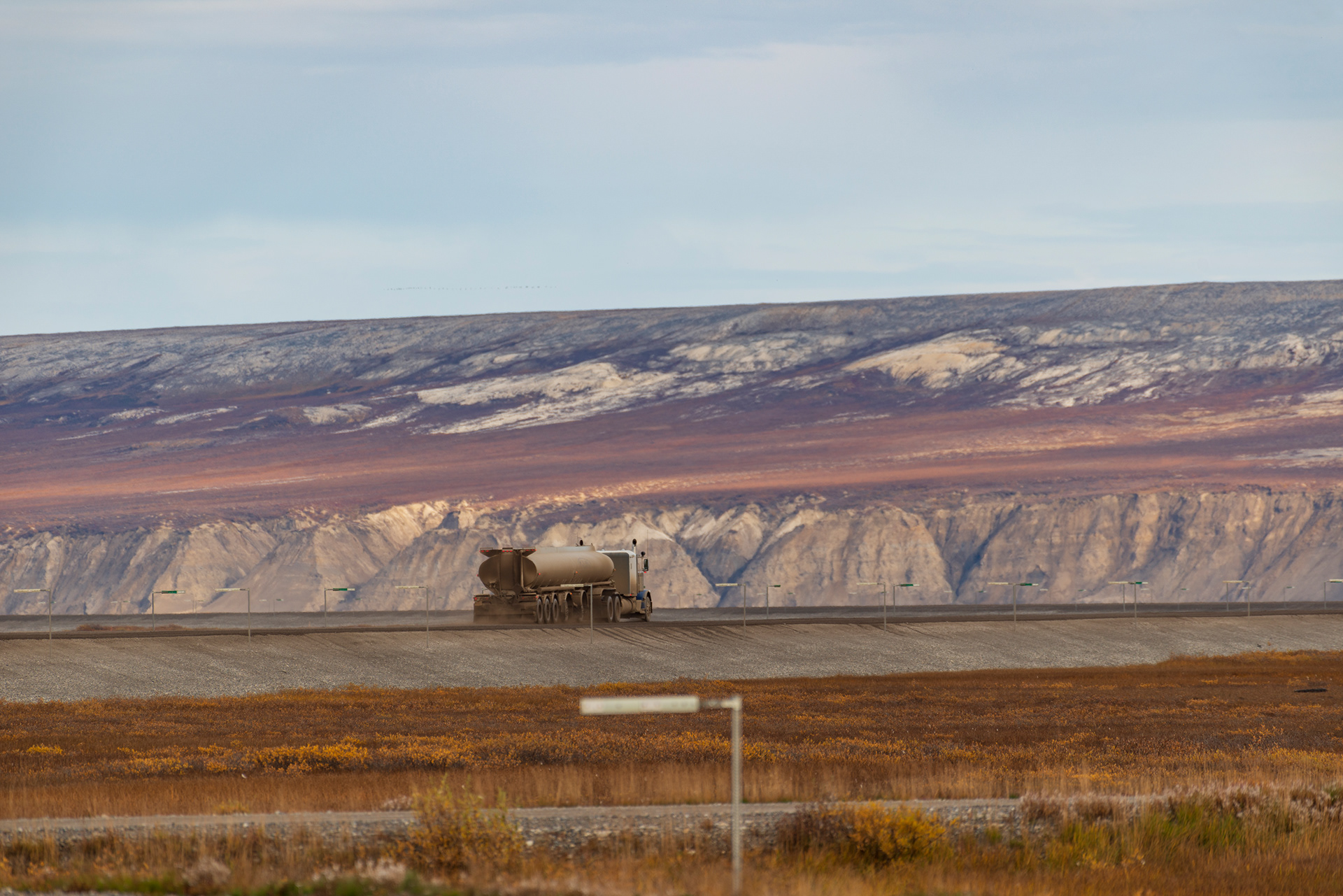
There are roads, and then there is the Dalton Highway.
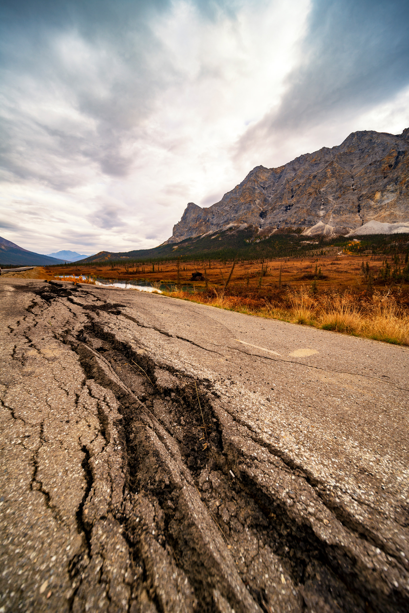
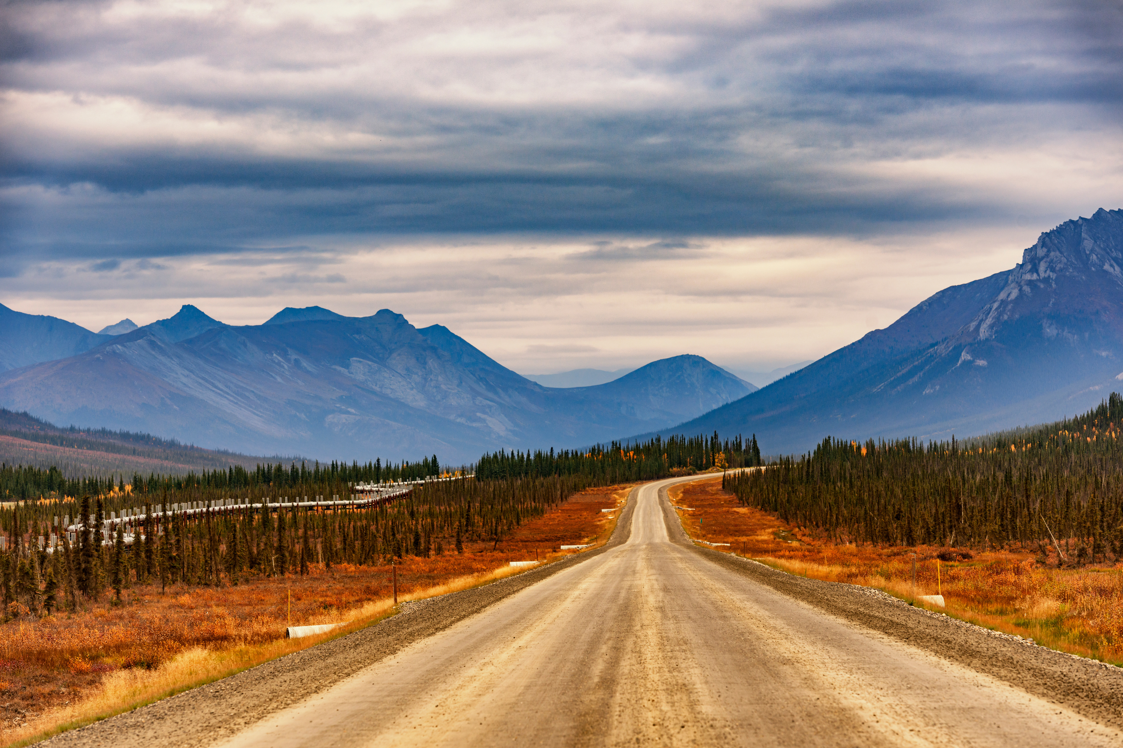
Its résumé reads like a dare: dubbed "the most dangerous road in the world" by a BBC documentary series; mostly unpaved; almost no services for 415 miles; home to eighteen-wheeler convoys hauling freight to an oil field at the literal top of the continent. It runs from Livengood Junction — just north of Fairbanks — straight north to Deadhorse and the Arctic Ocean, crossing the Arctic Circle en route, climbing over the Brooks Range at Atigun Pass (4,739 feet, the highest point on Alaska's road system), and descending into the vast, treeless North Slope. The Dalton Highway is one of only two roads in the Americas that reaches the Arctic Ocean. The other is the Dempster Highway in Canada's Yukon.
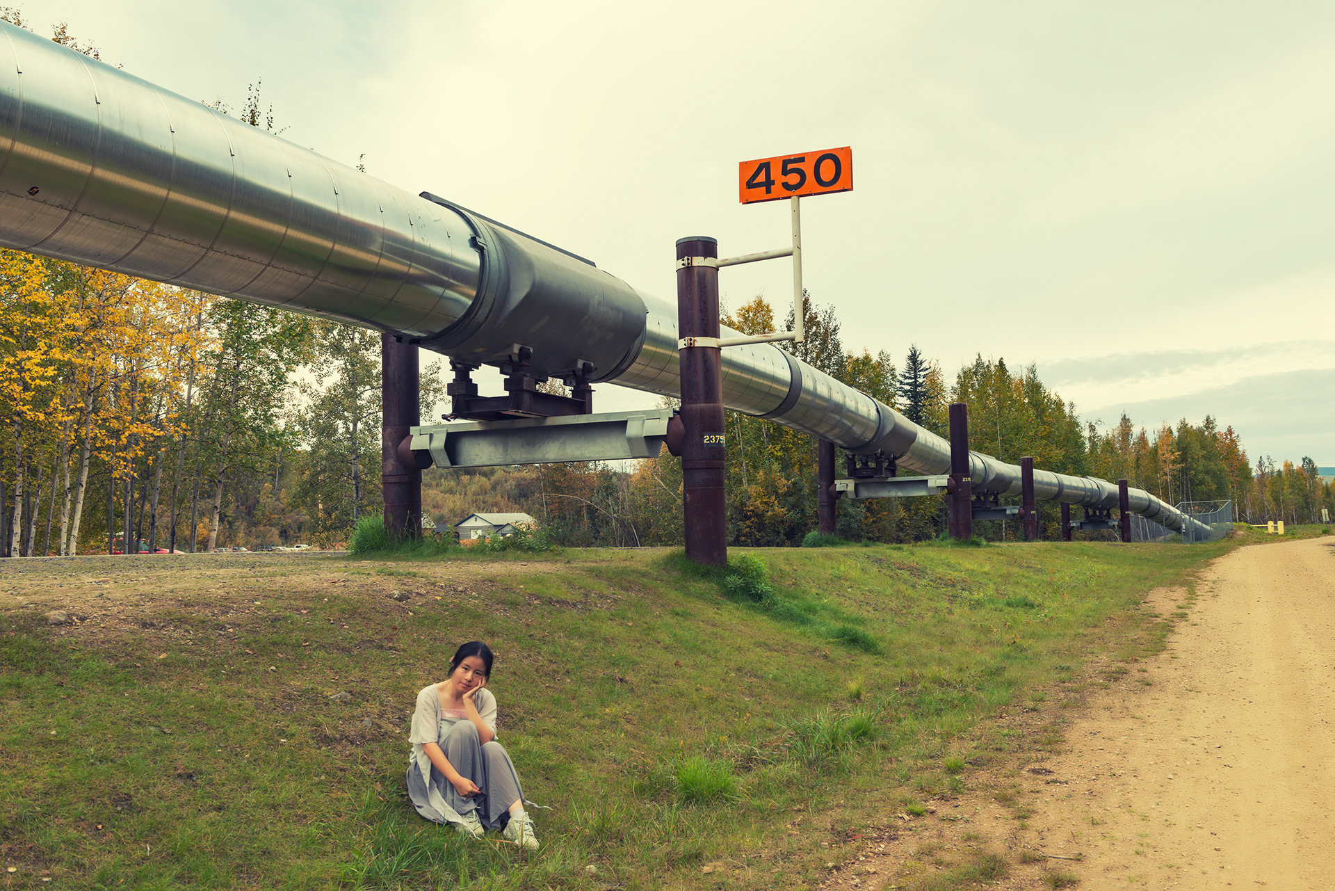
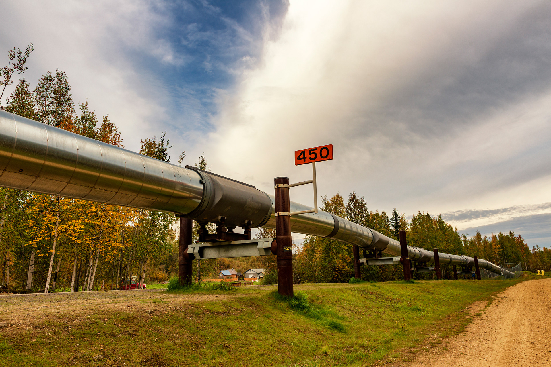
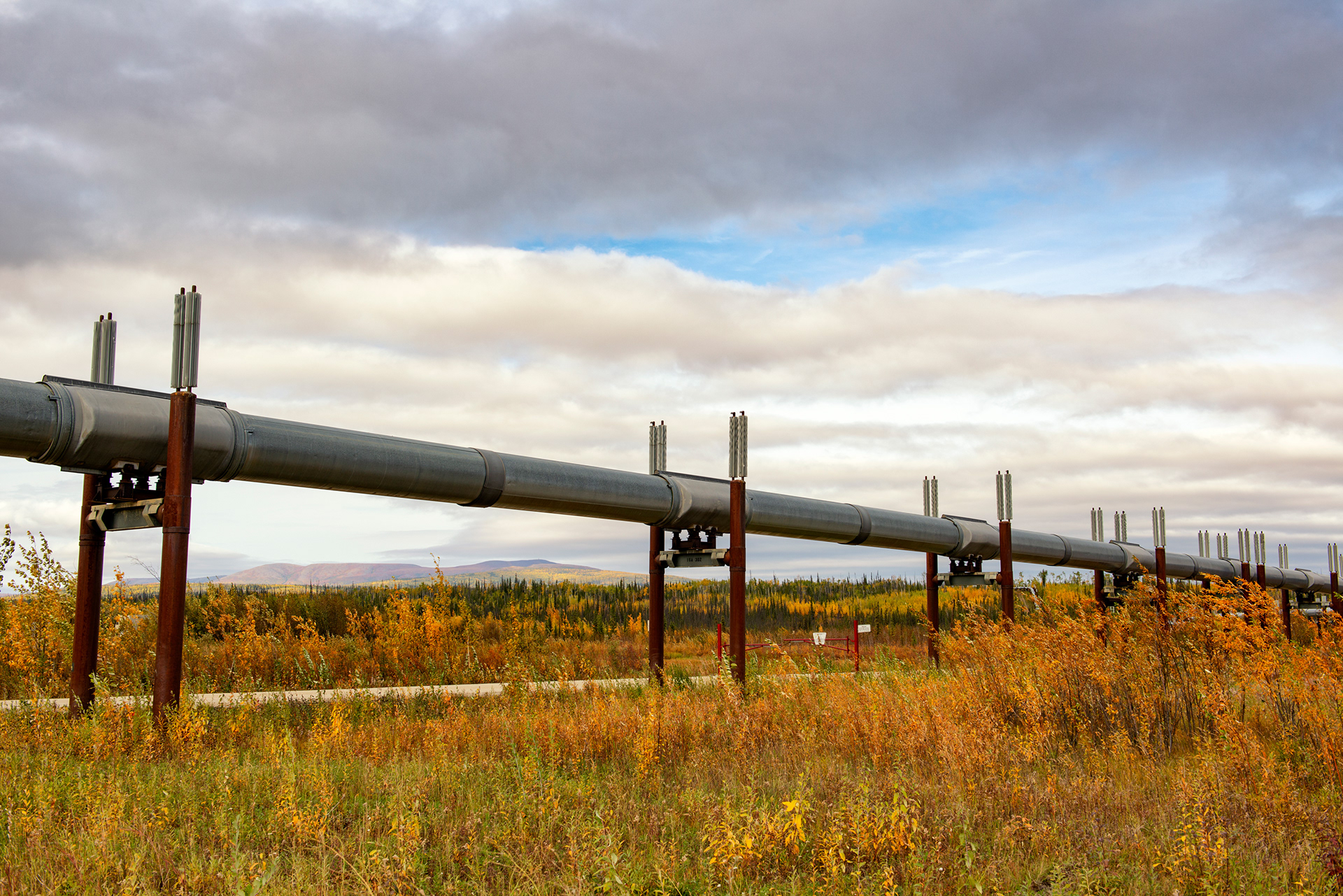
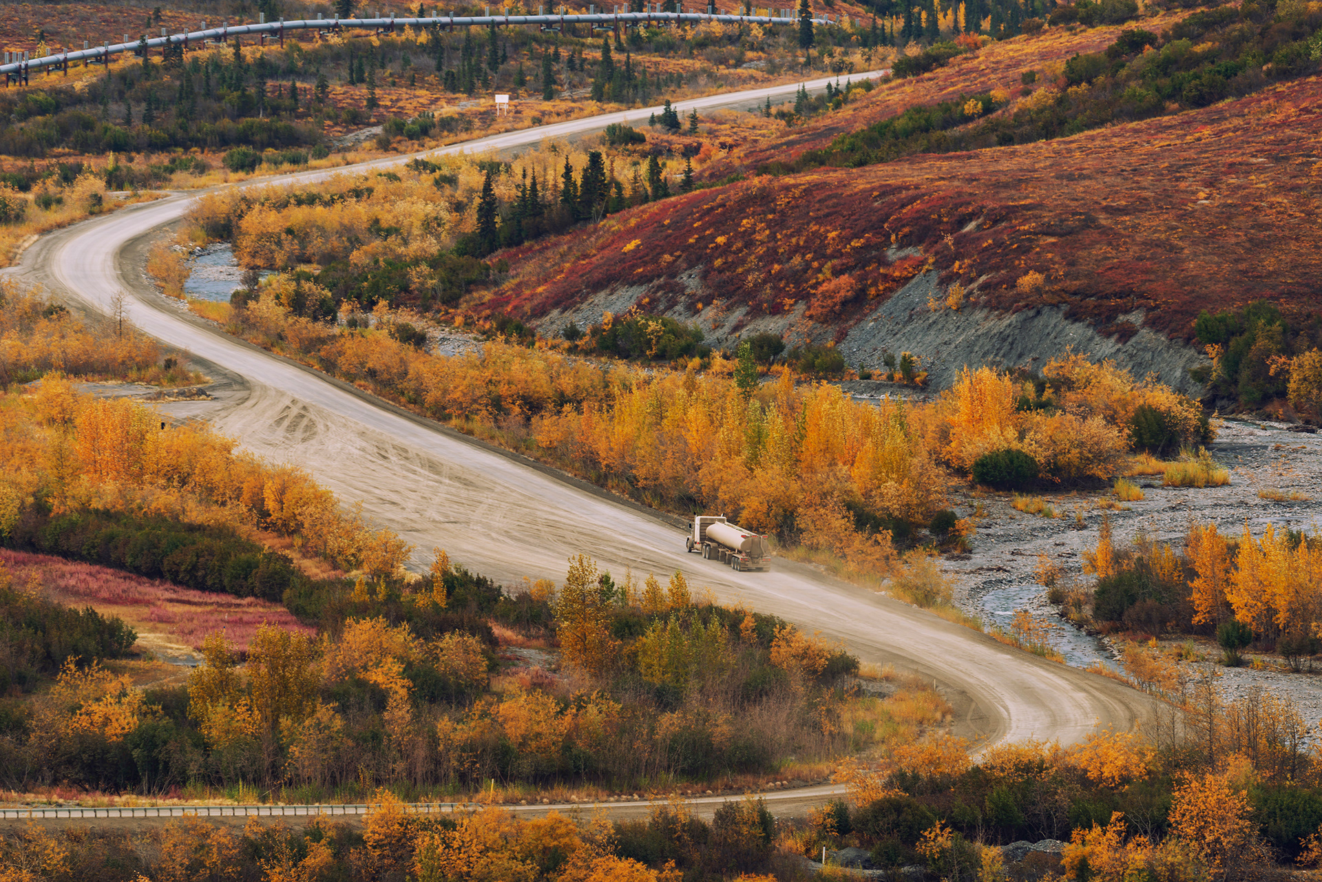
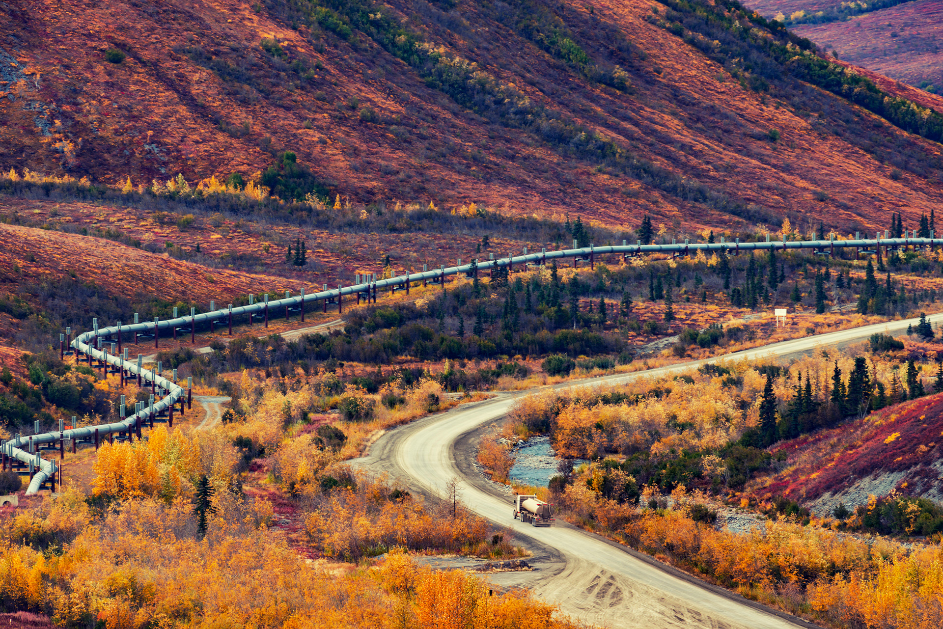
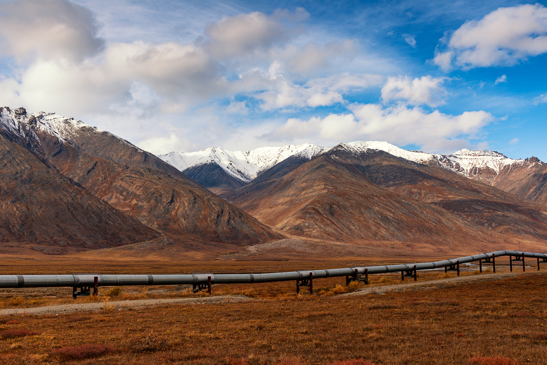
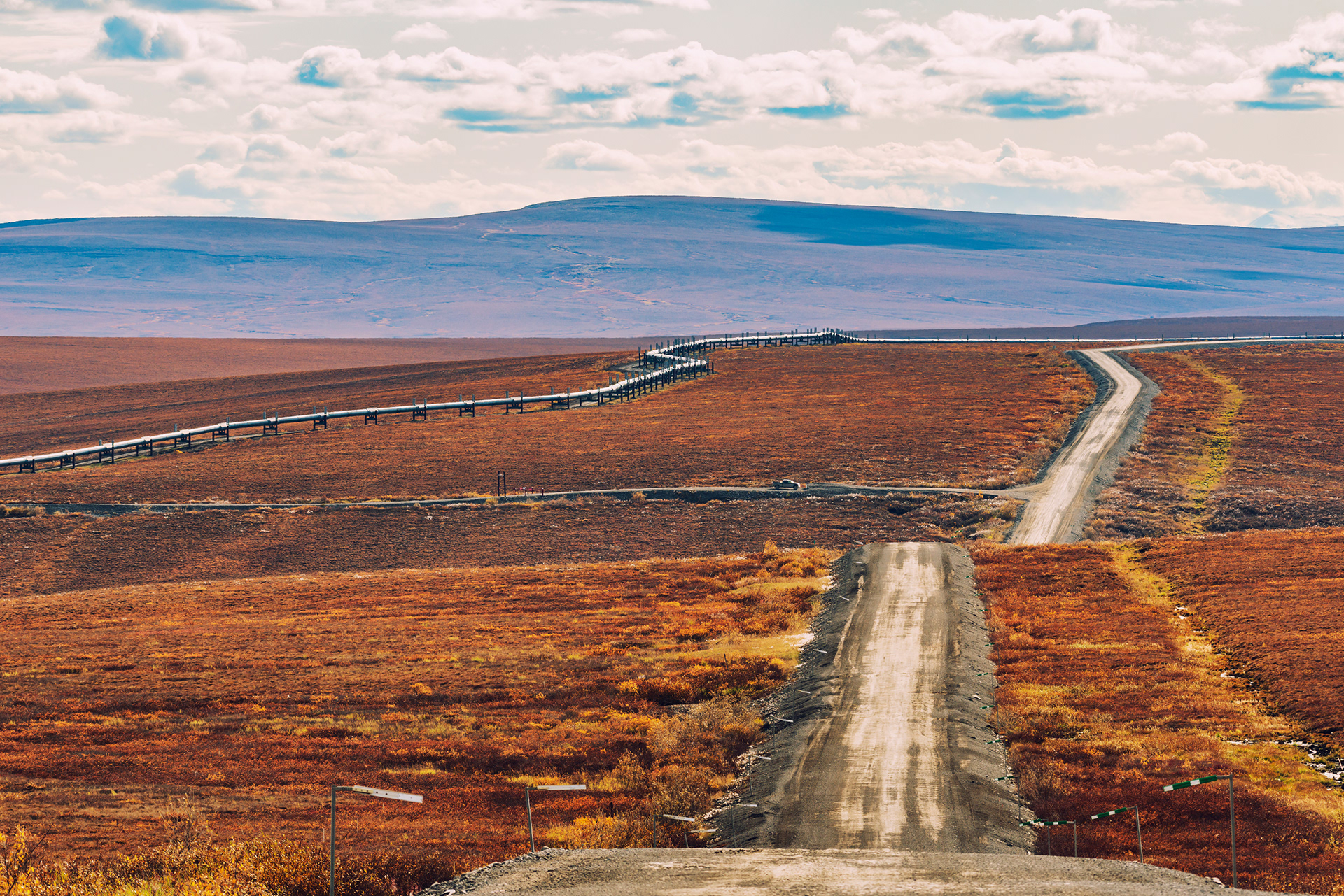
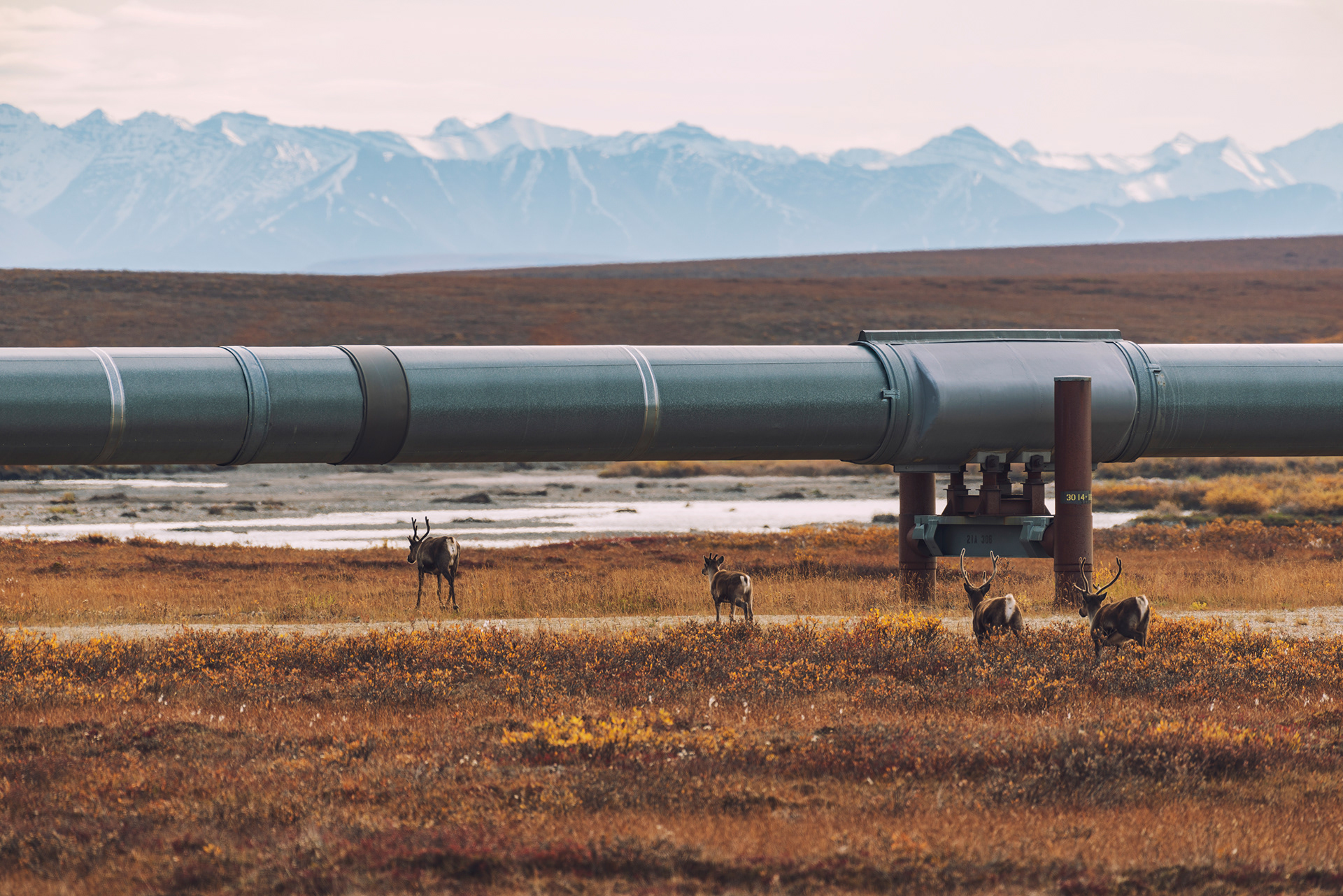
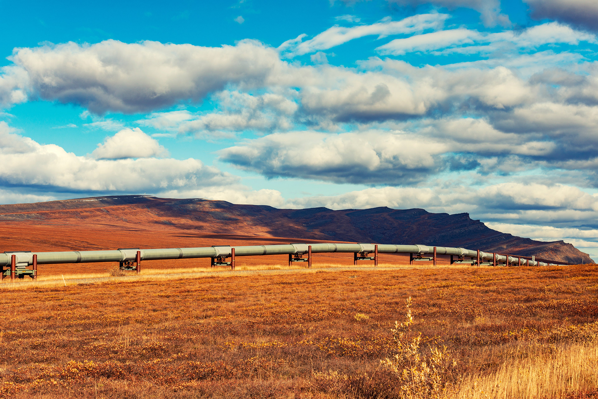
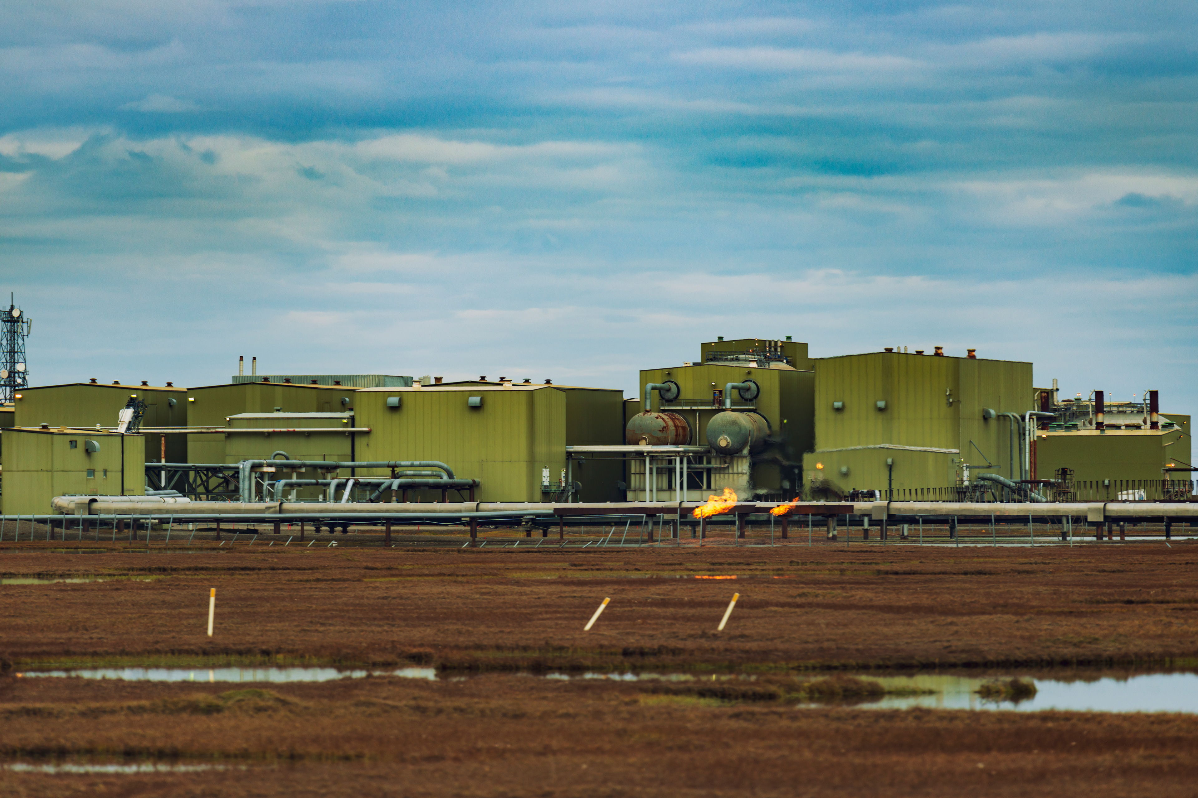
The Dalton was built for black gold. In 1968, enormous oil reserves were discovered near Prudhoe Bay on the Arctic Coast, and the U.S. government — facing an energy crisis — commissioned an 800-mile pipeline from the fields to the southern port of Valdez. Construction on the Trans-Alaska Pipeline began in 1974; the highway was hacked out of the wilderness in just five months to support it. The pipeline itself took three years. Both opened in 1977.
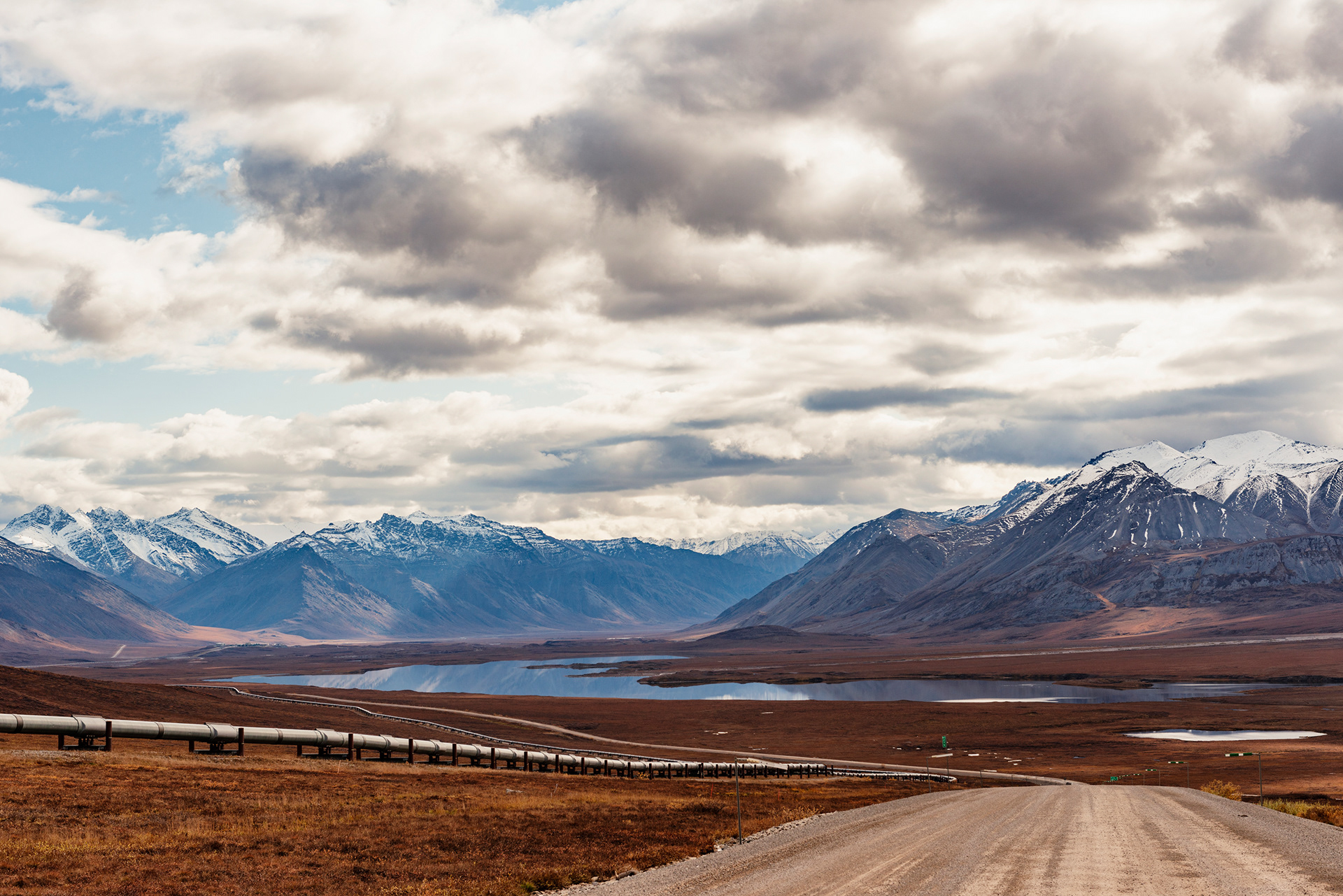
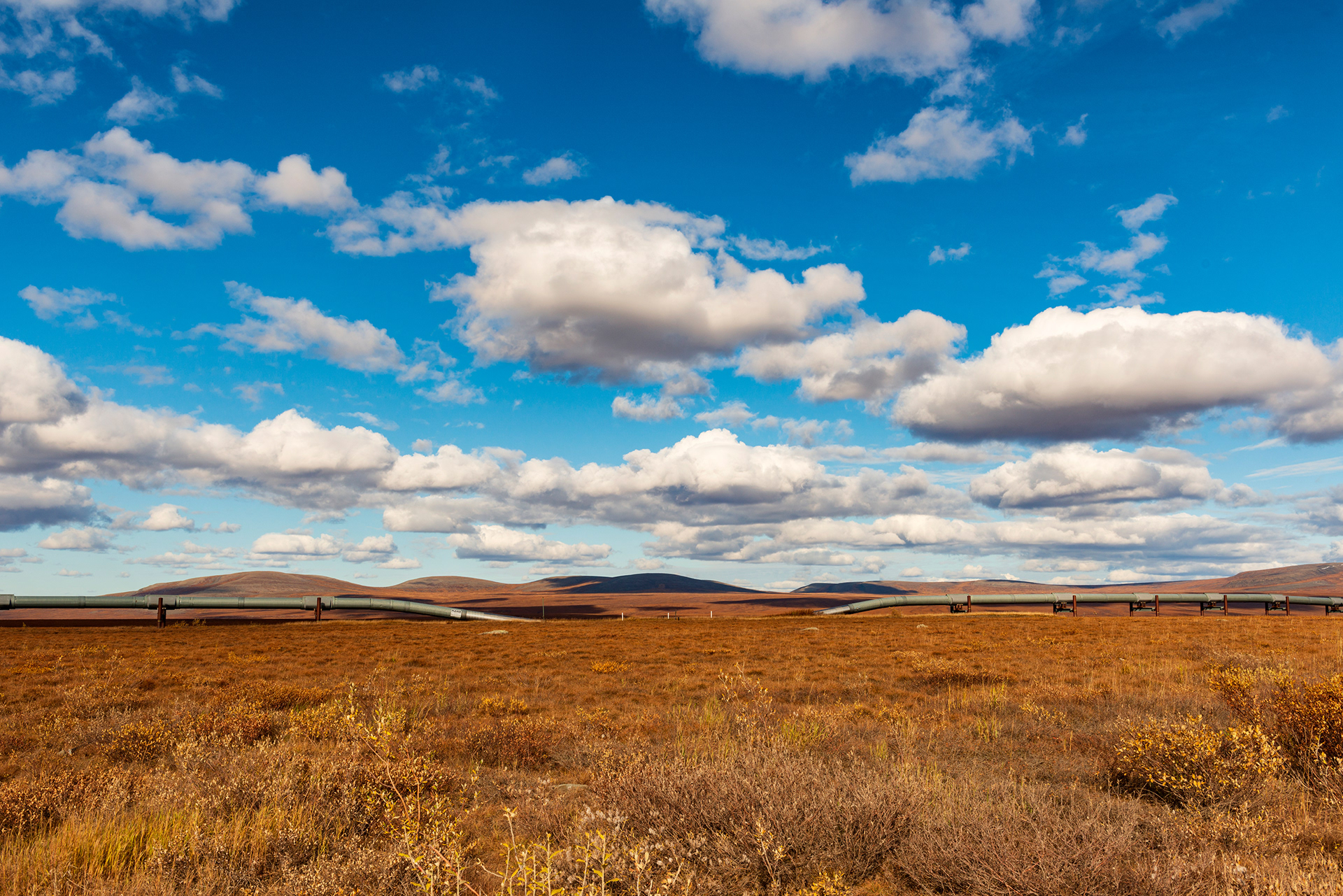
Driving the Dalton today, the pipeline is your constant companion. It parallels the road for much of the route, sometimes running overhead on elevated supports (which allow animals to pass beneath) and sometimes buried underground (where it crosses permafrost that can't support the heat of the oil). At intervals, pump stations push the crude southward. The whole system moves roughly 500,000 barrels per day.
Driving the Dalton today, the pipeline is your constant companion. It parallels the road for much of the route, sometimes running overhead on elevated supports (which allow animals to pass beneath) and sometimes buried underground (where it crosses permafrost that can't support the heat of the oil). At intervals, pump stations push the crude southward. The whole system moves roughly 500,000 barrels per day.
What you need to know before you go:
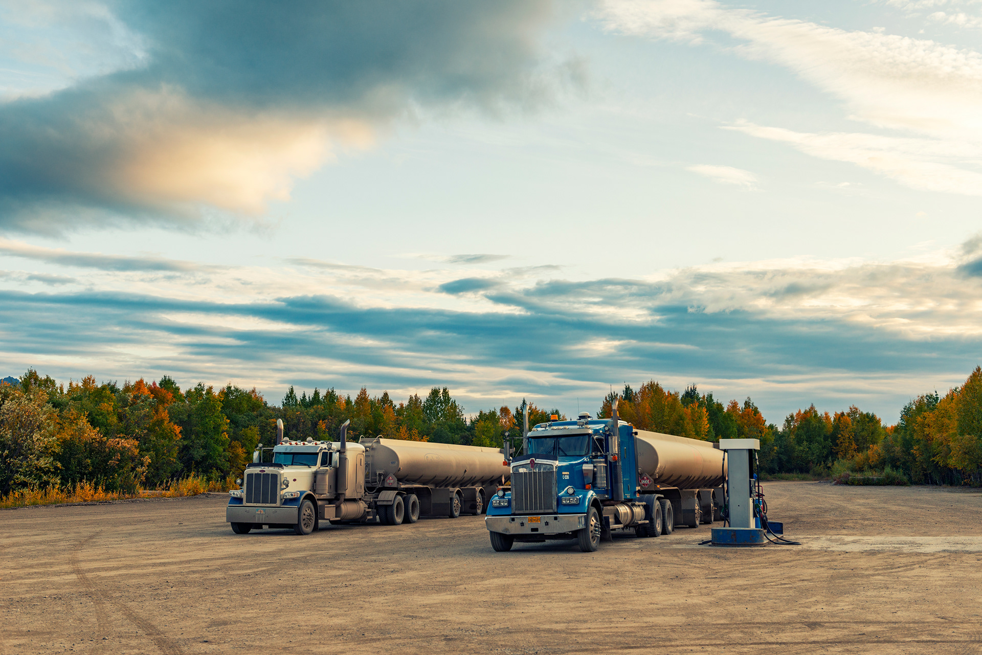
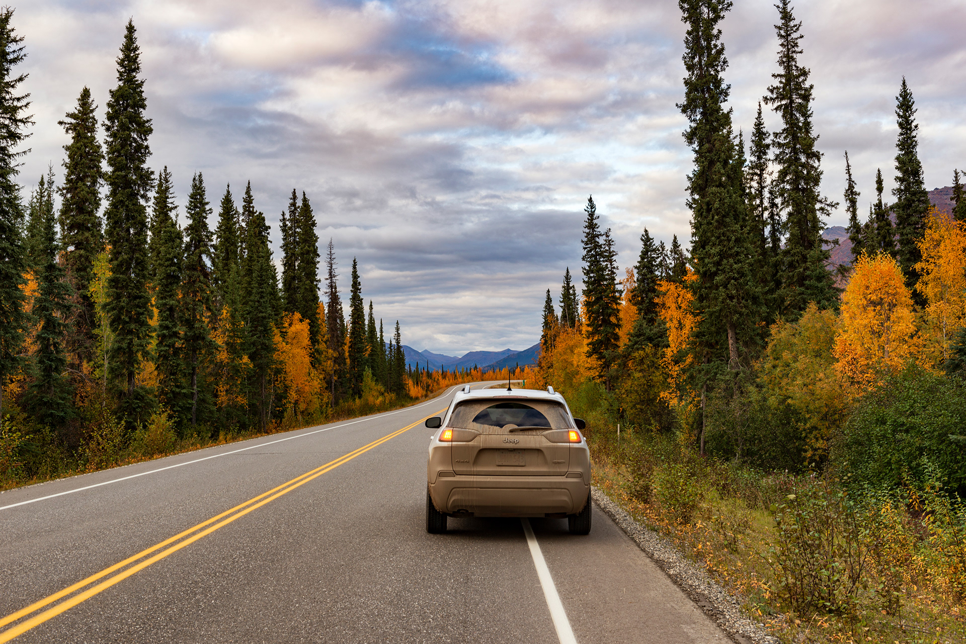
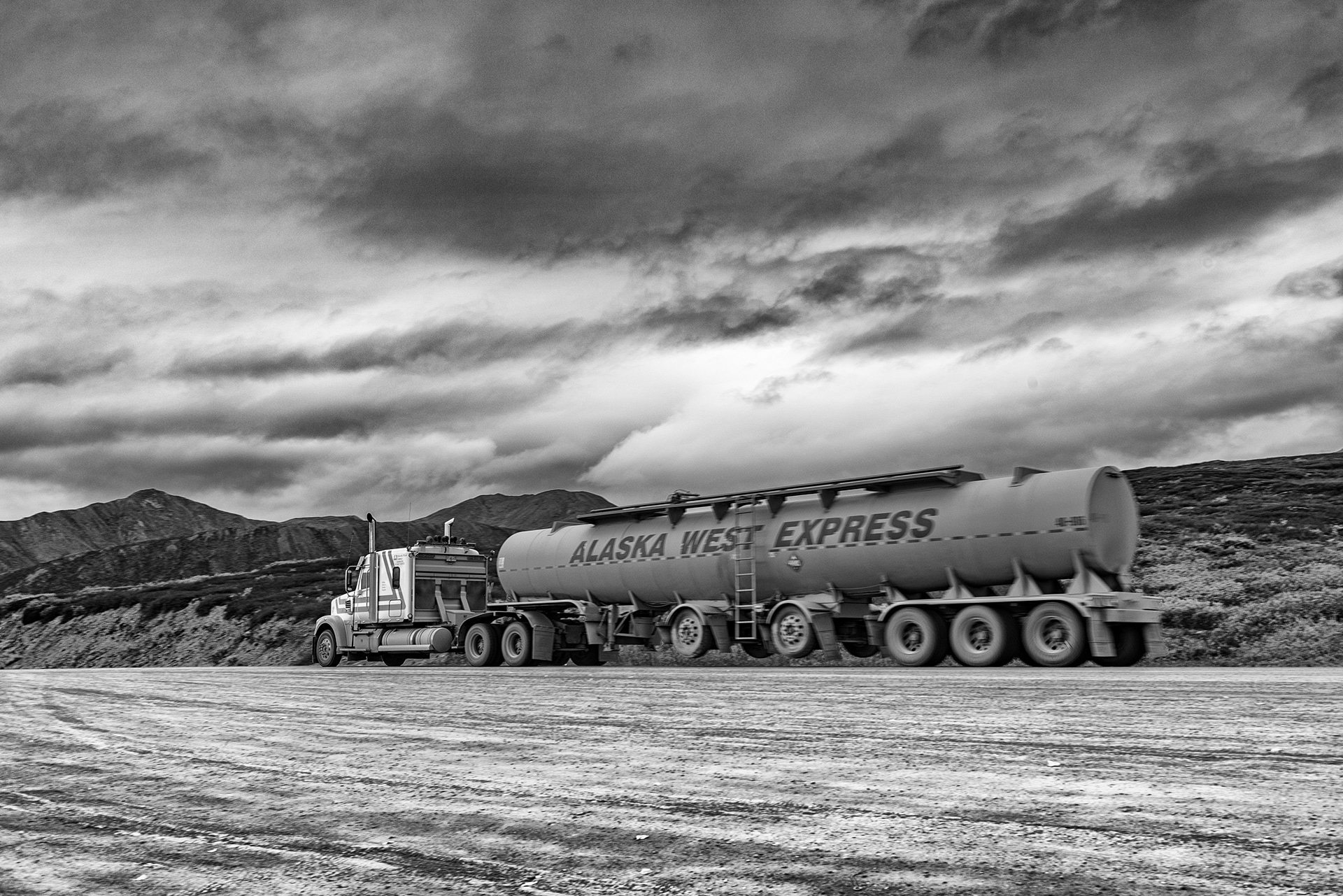
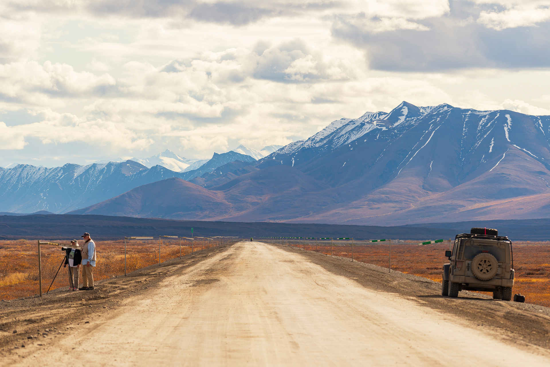
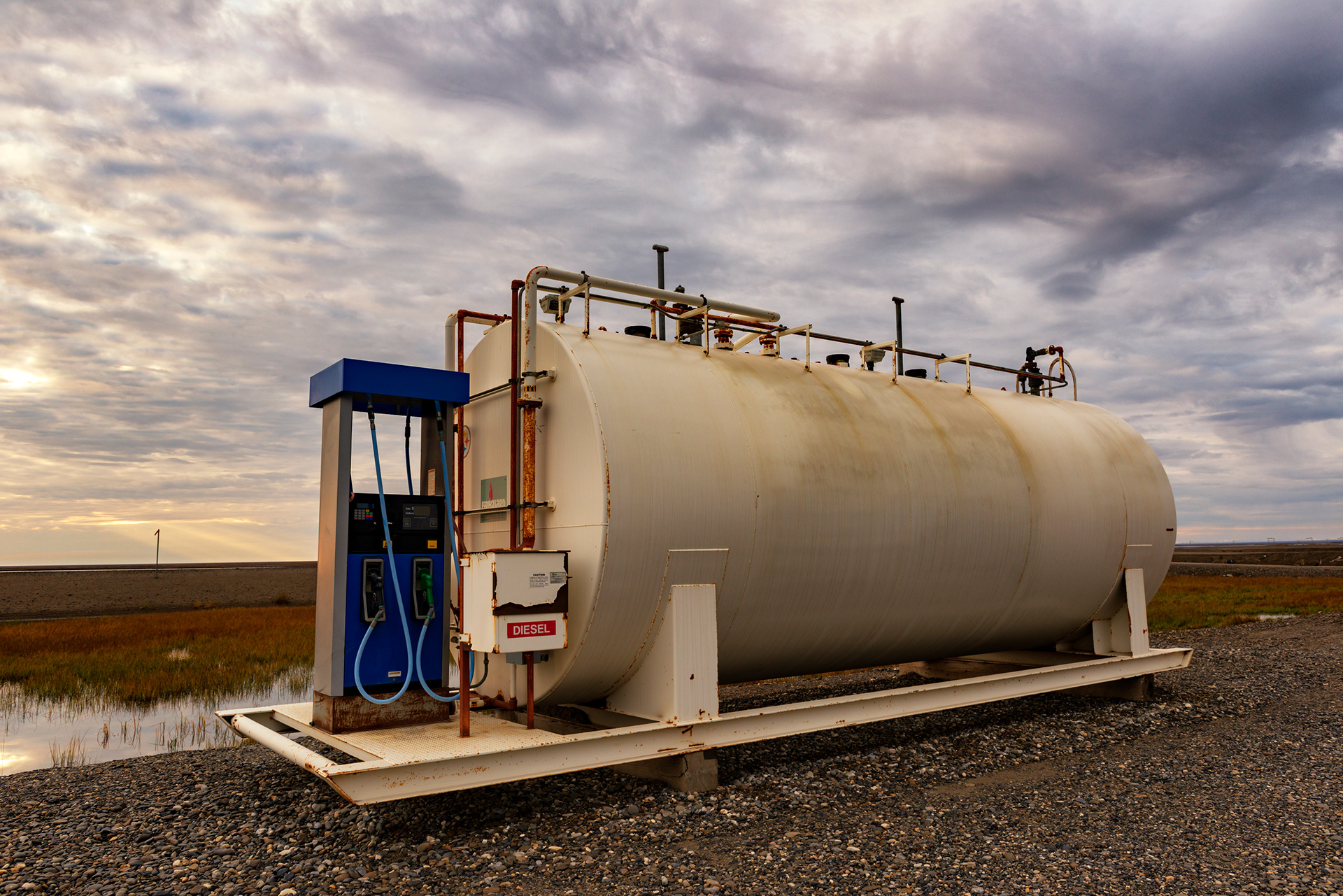
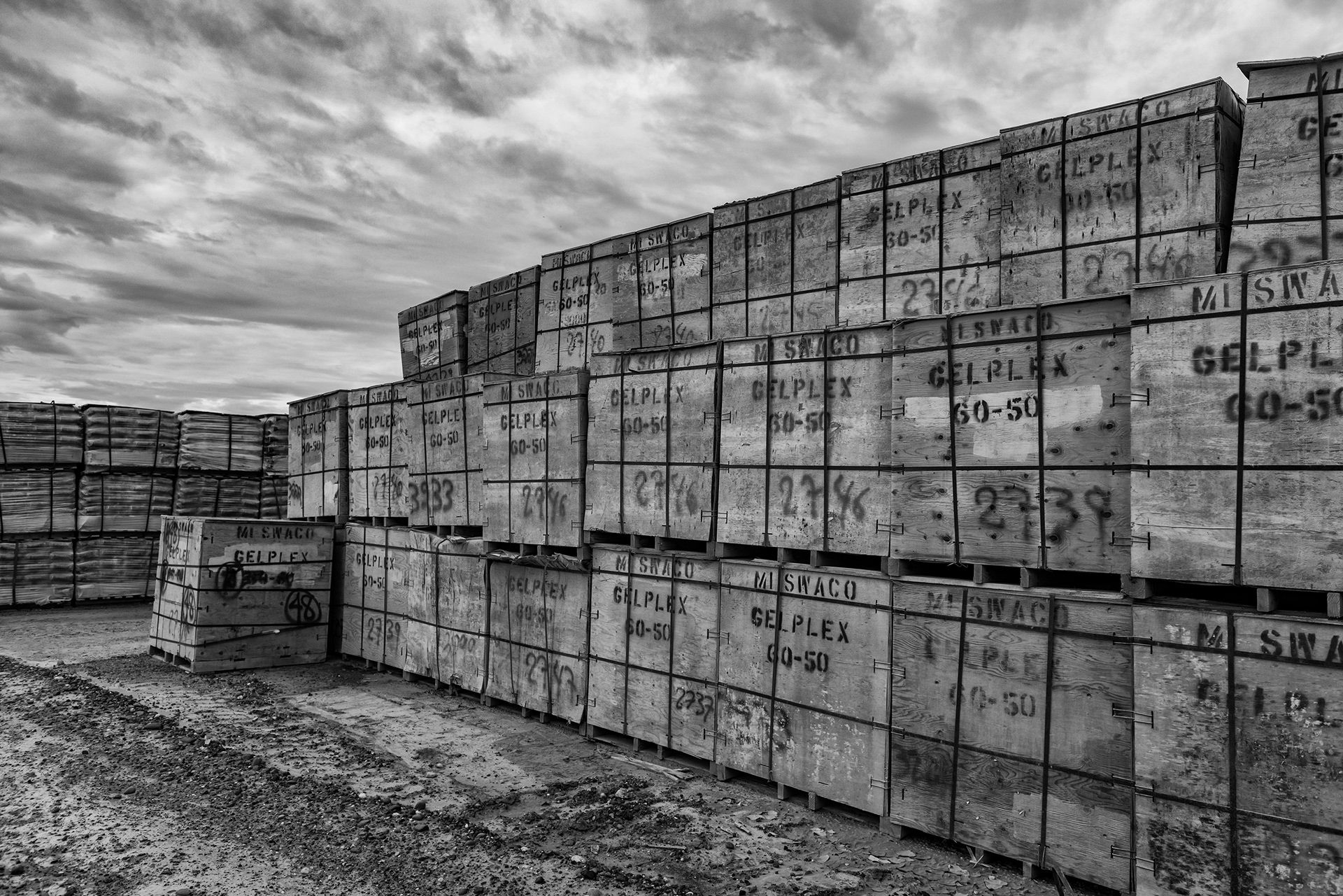
The Dalton allows no margin for improvisation. The only fuel stops are at Yukon Crossing (mile 56), Coldfoot (mile 175), and Deadhorse at the end. Fill up at every one — no exceptions. Most major rental car companies prohibit their vehicles on this road; you'll need a local outfitter who specifically allows unpaved highway driving. A 4WD SUV is not optional. When eighteen-wheelers blow past at highway speed, they kick up gravel that can crack a windshield, so give them wide berth and slow down. And carry more water, food, and cold-weather layers than you think you need.
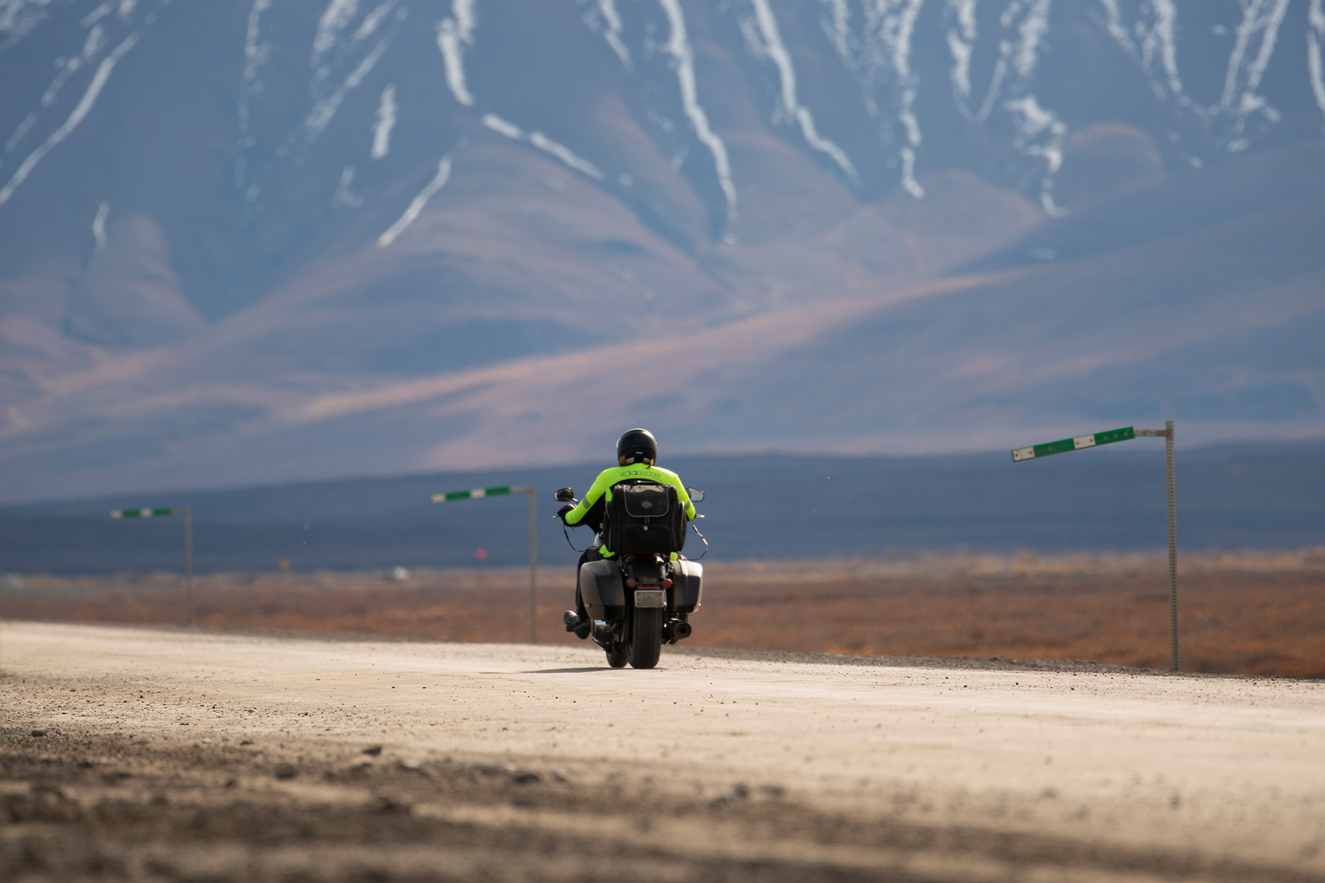
Driving North
We left Fairbanks on Day 2 with a full tank and the kind of nervous anticipation that comes before something genuinely unknown.
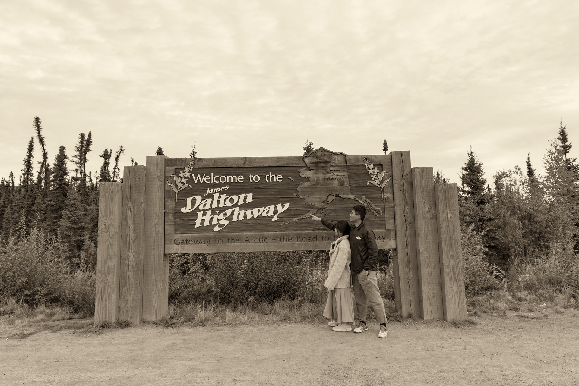
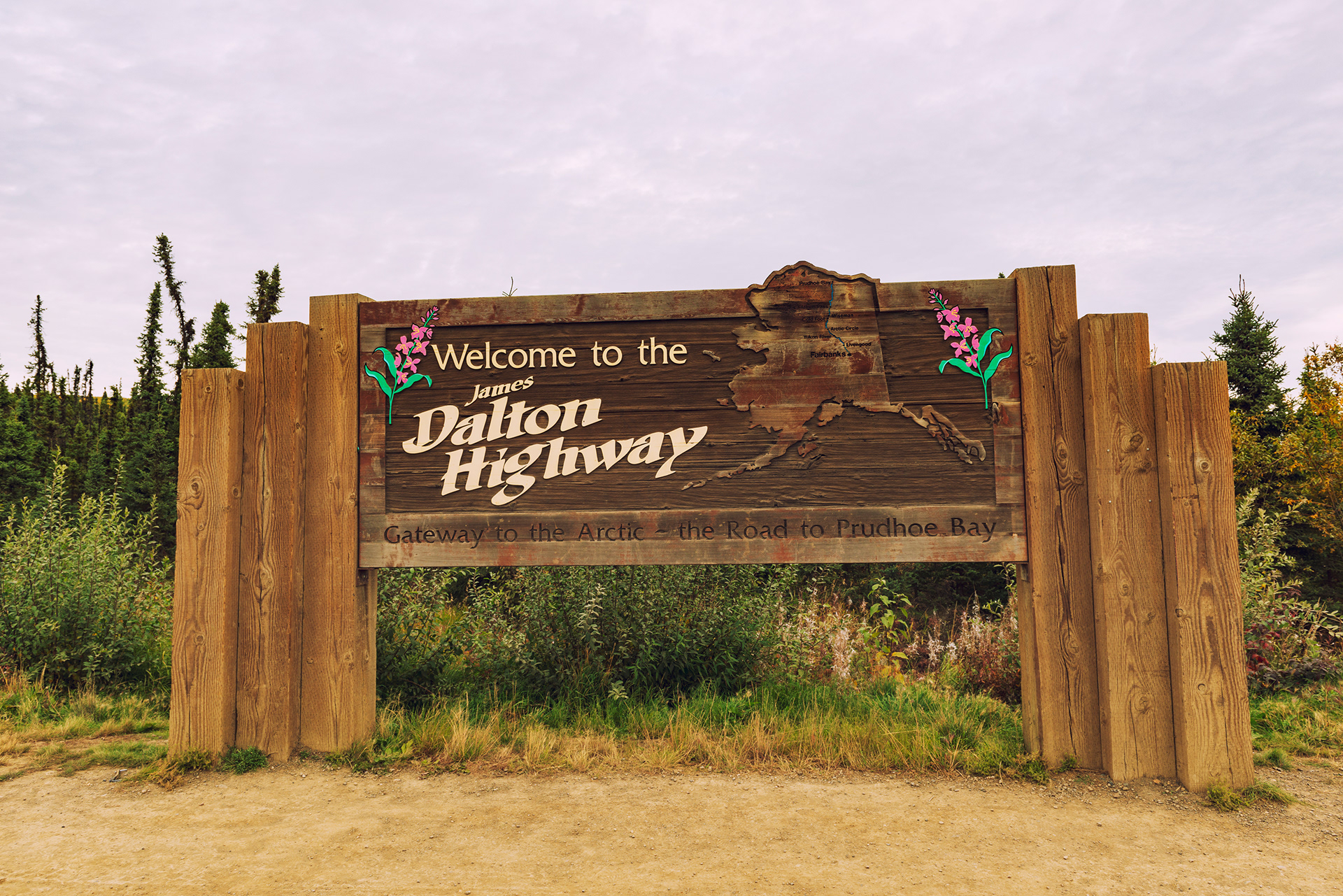
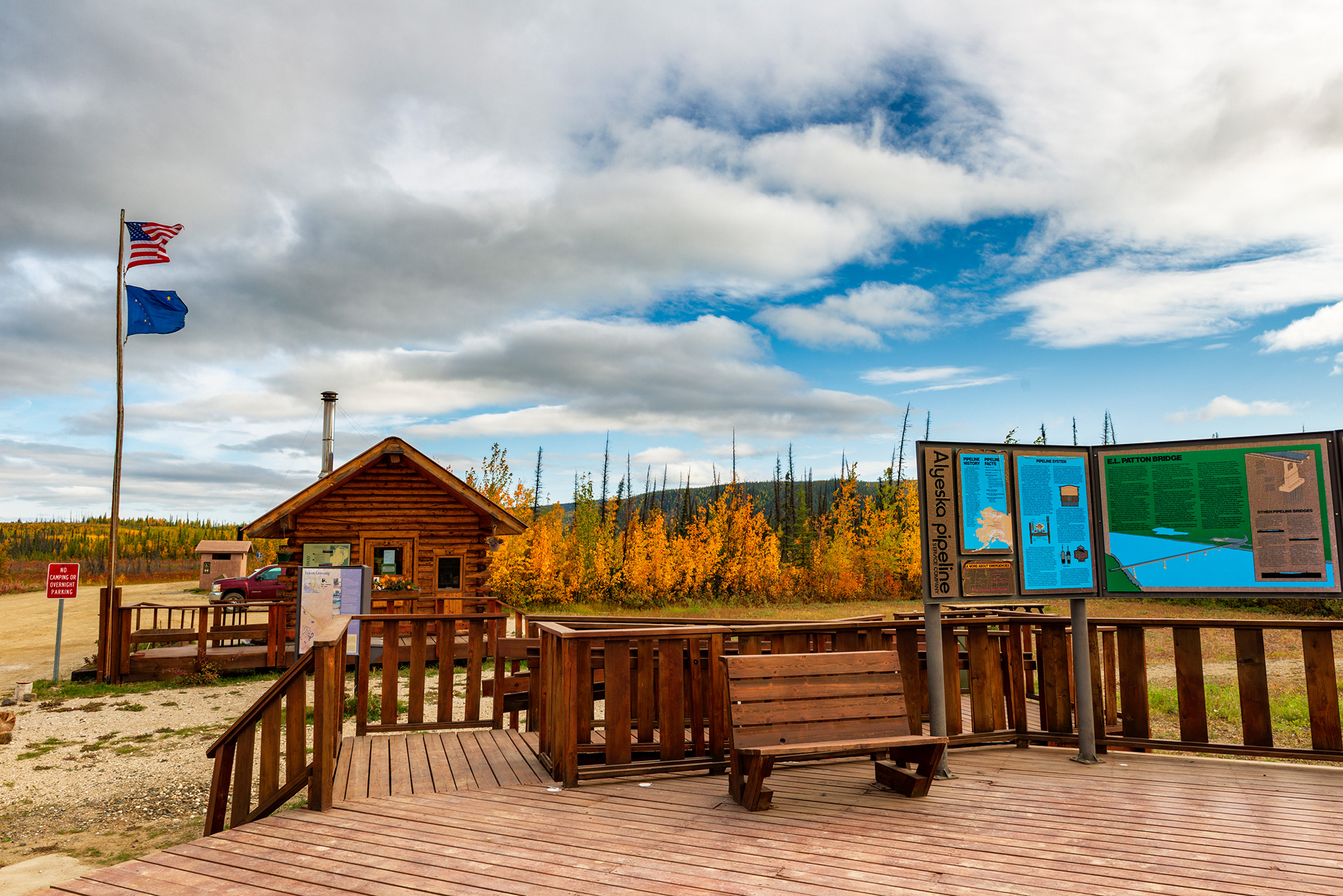
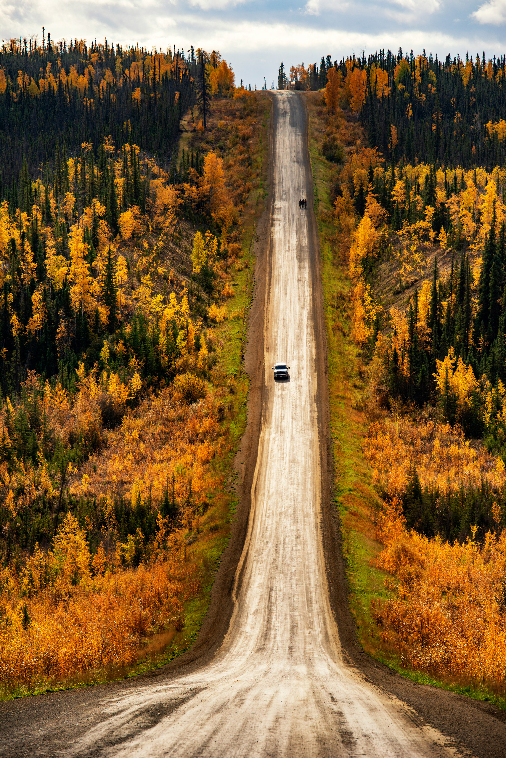
Dalton Highway Sign (Mile 0): The road begins at an unceremonious junction where a sign announces what you're about to attempt. Nearby, a small park displays the history of the Trans-Alaska Pipeline. It's a good place to take stock before committing.
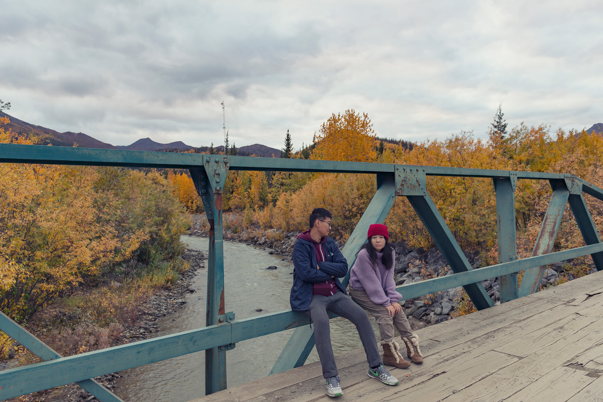
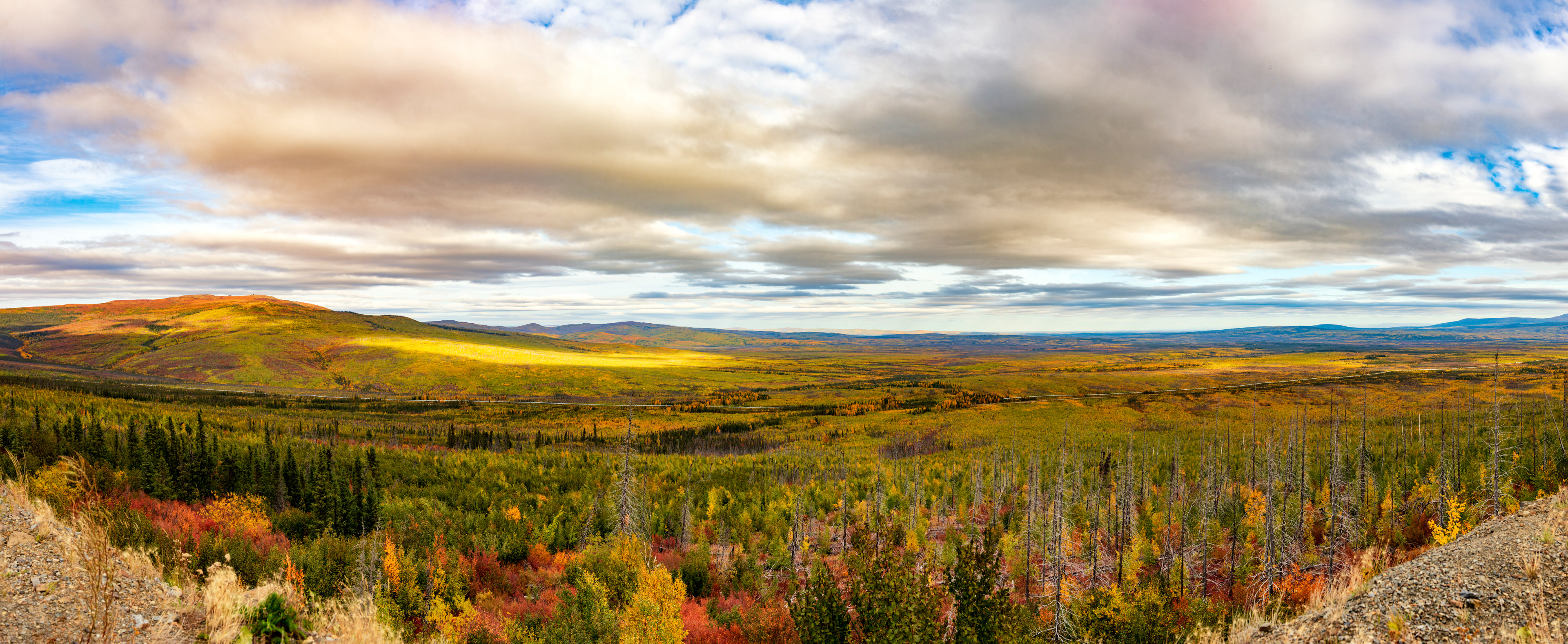
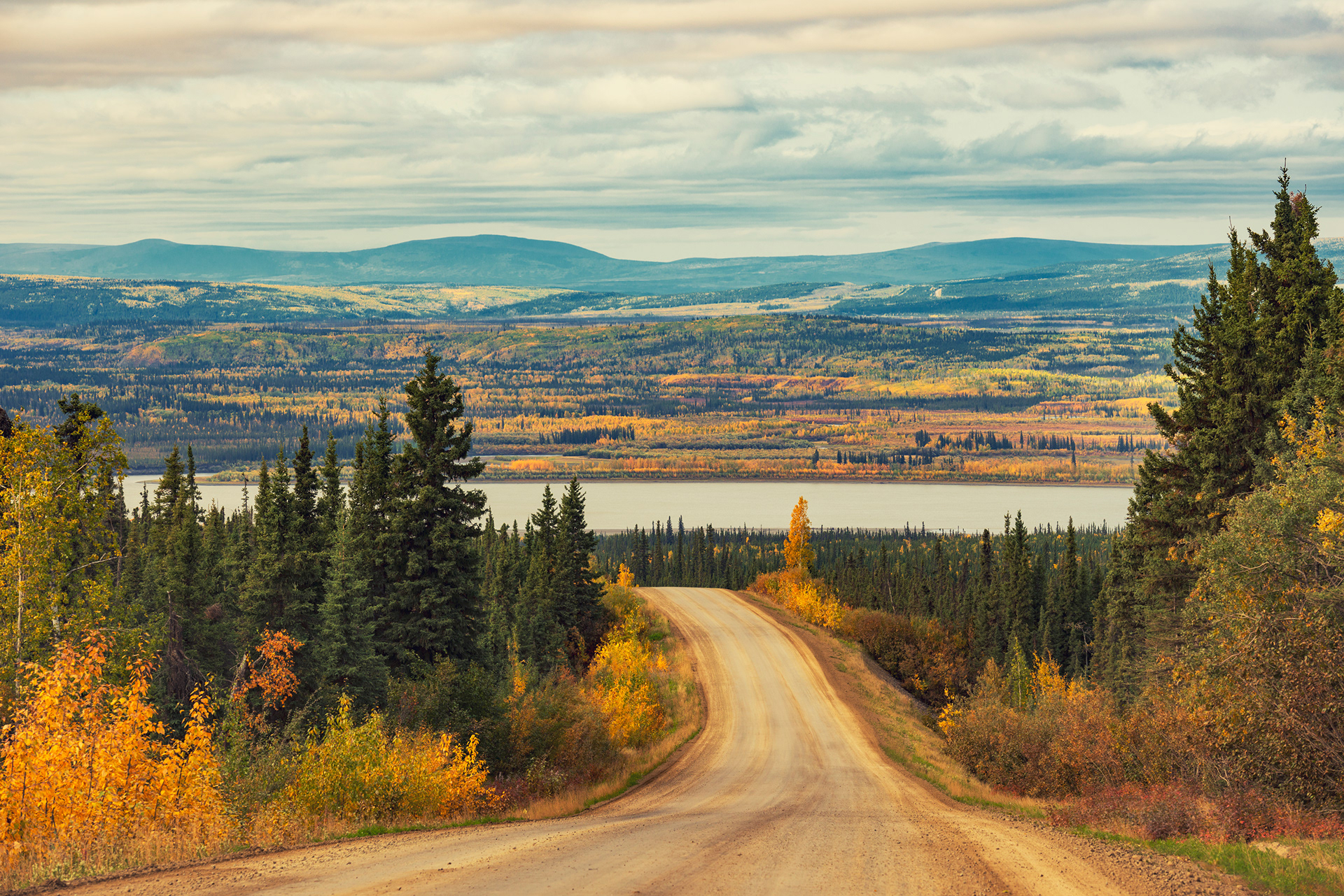
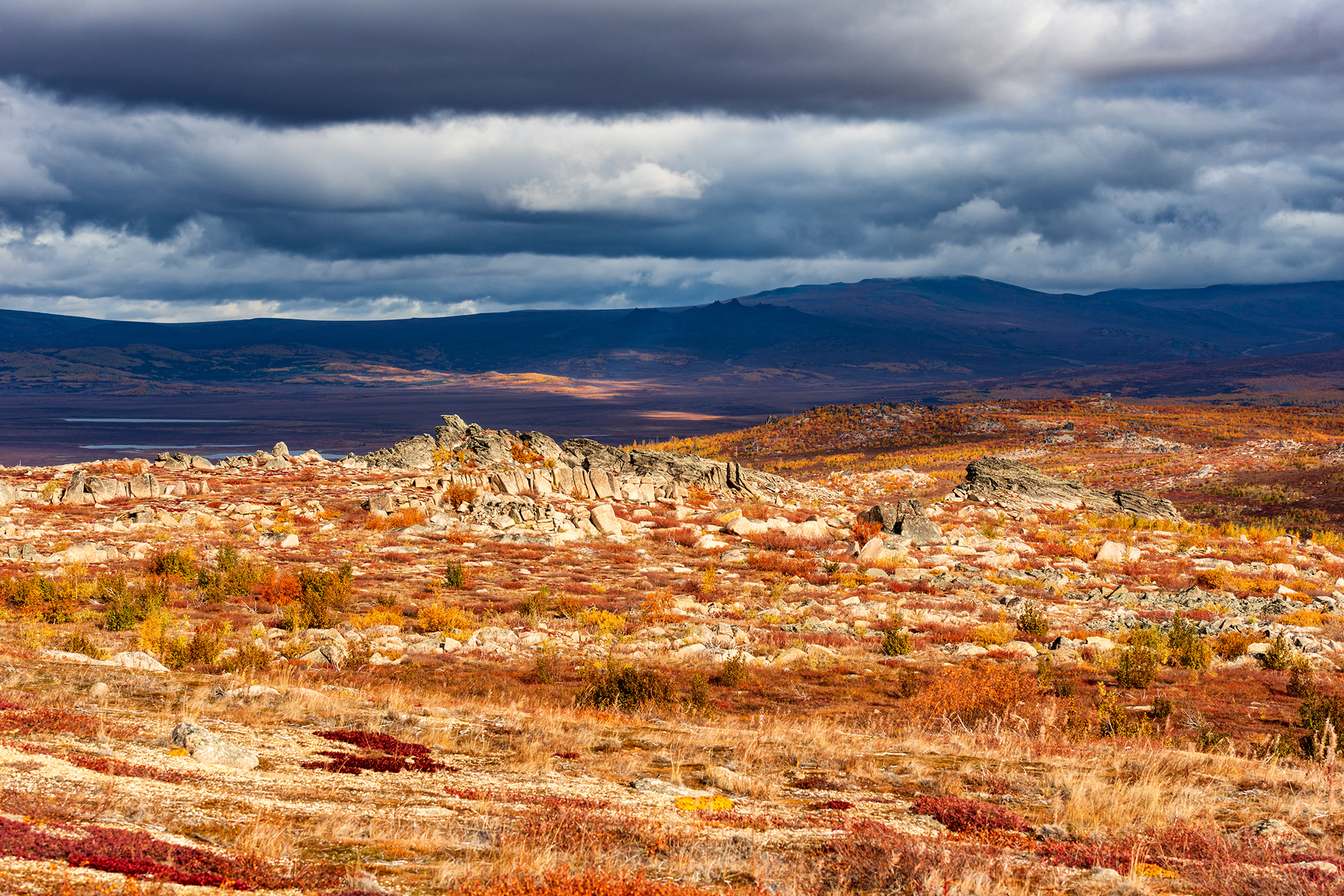
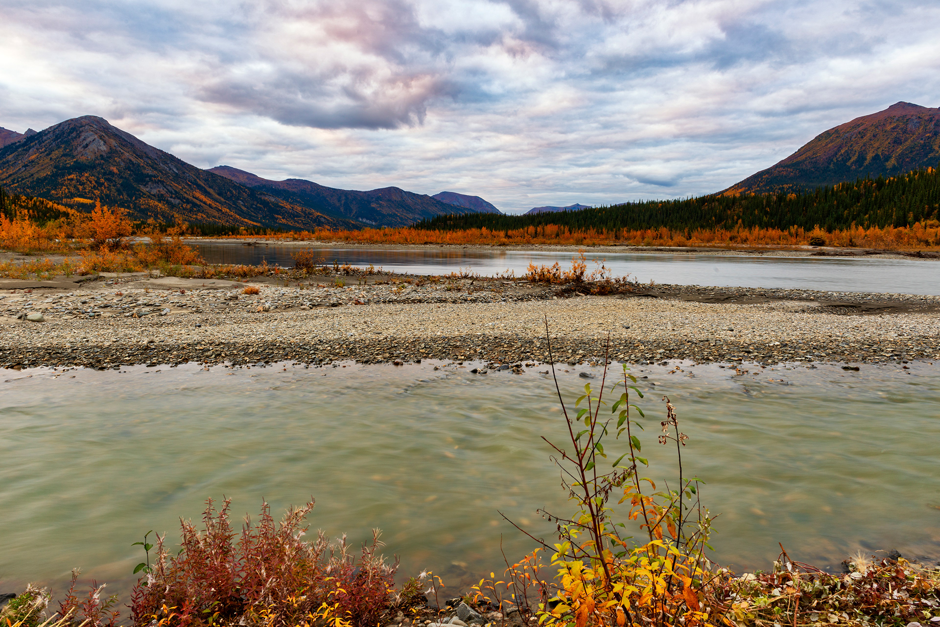
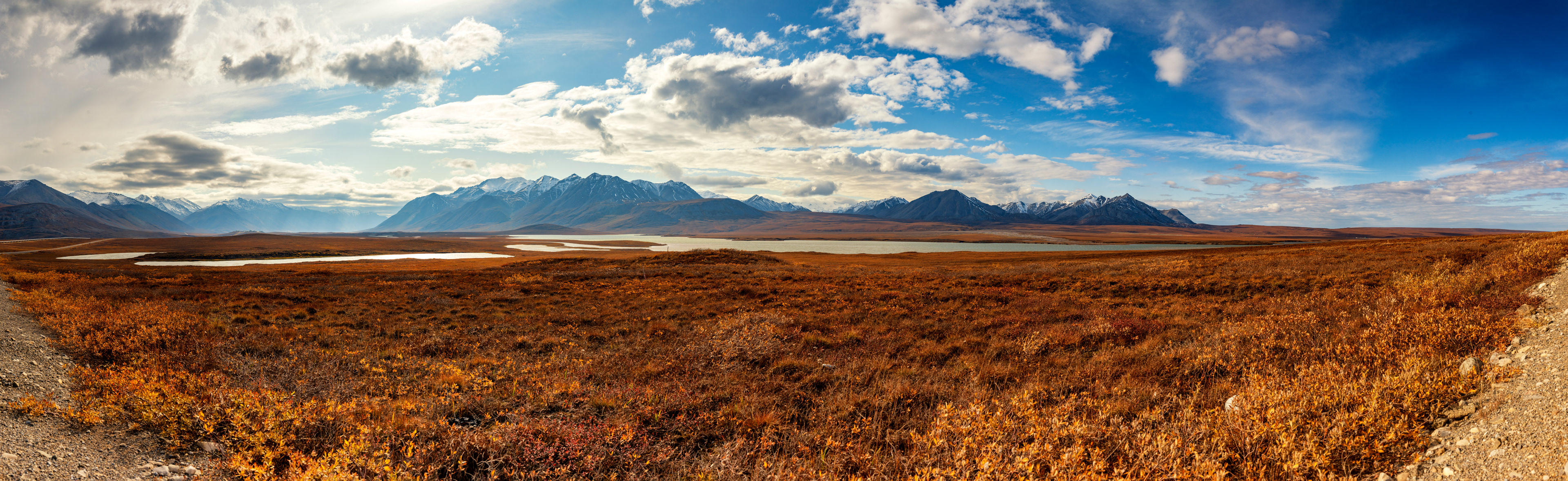
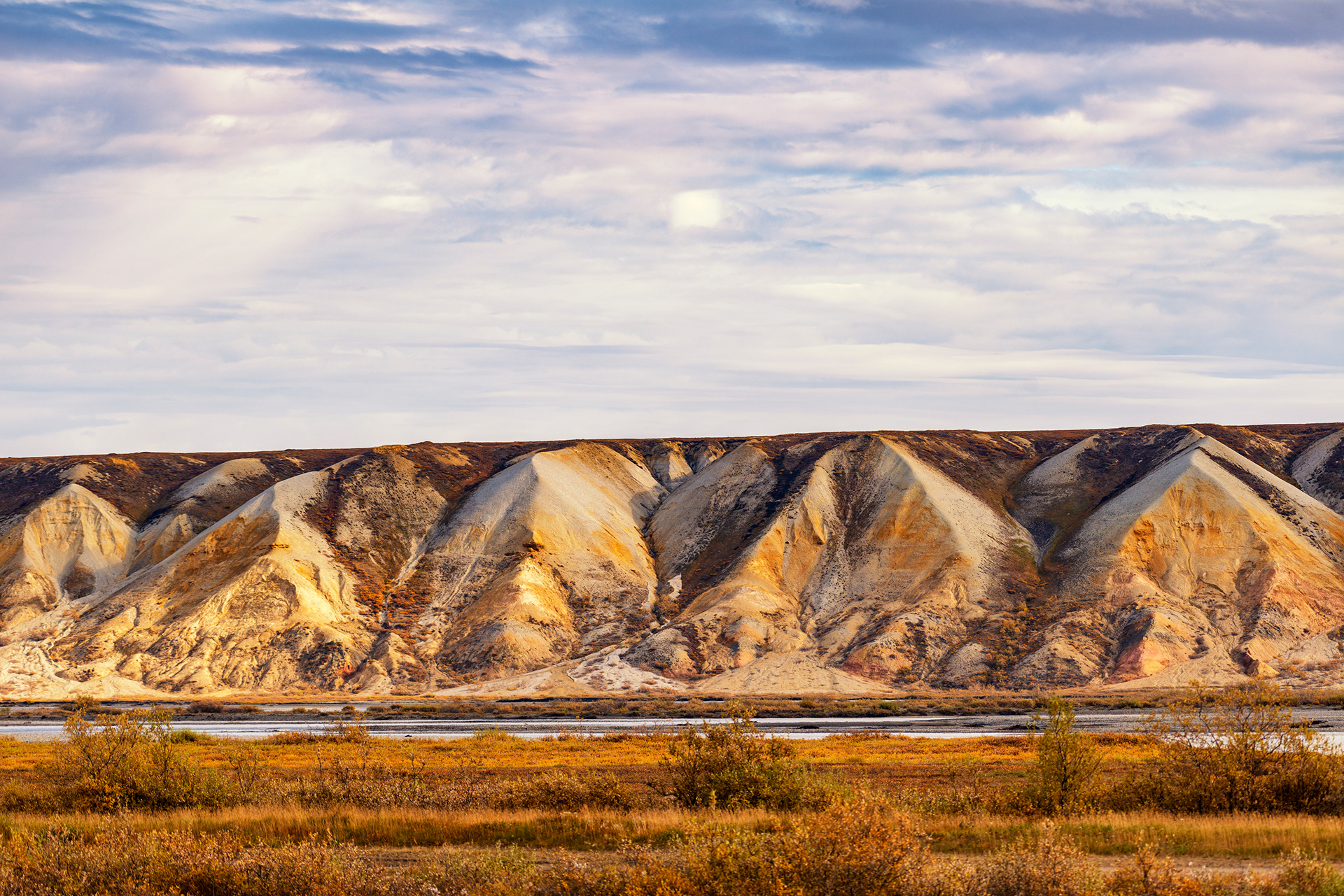
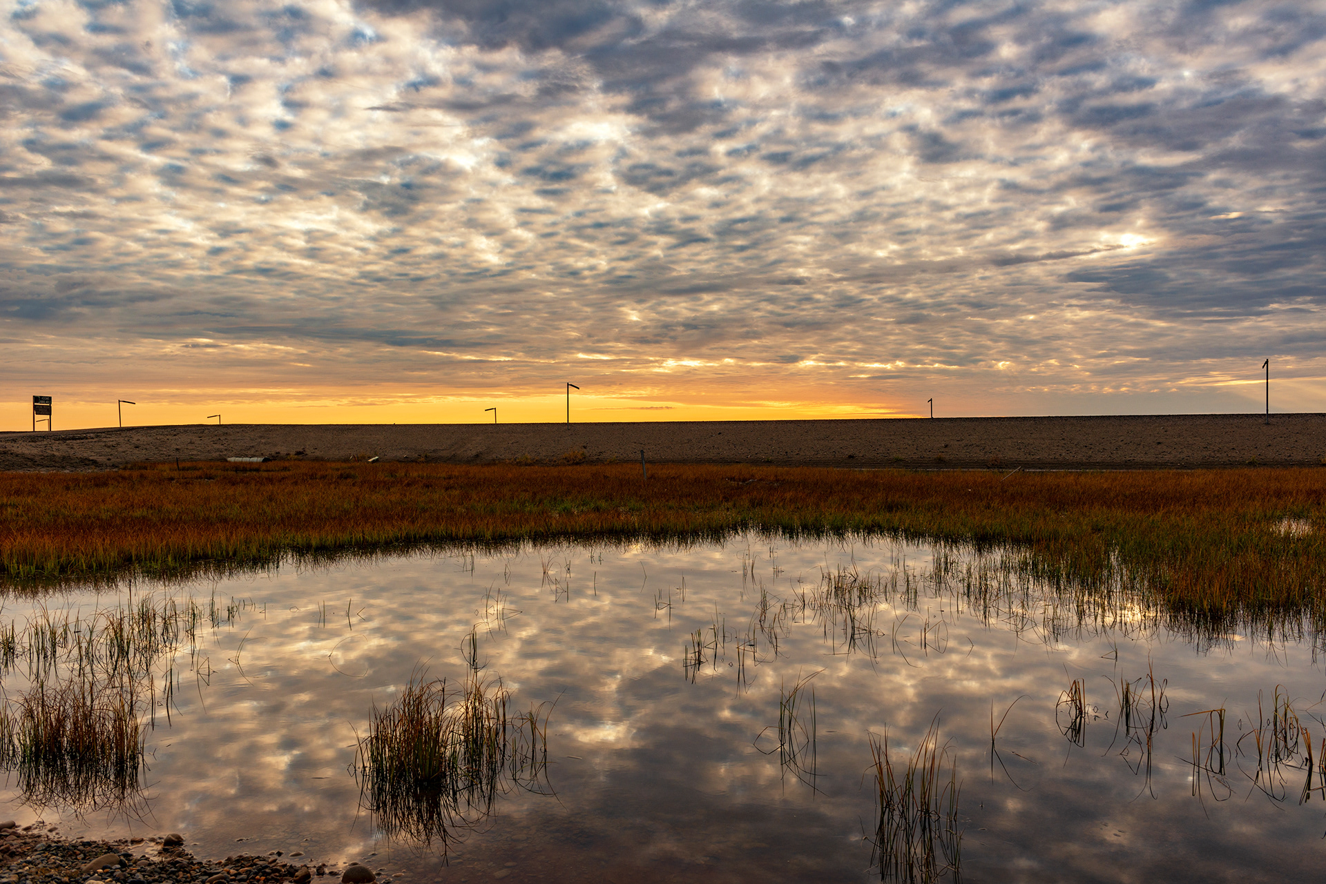
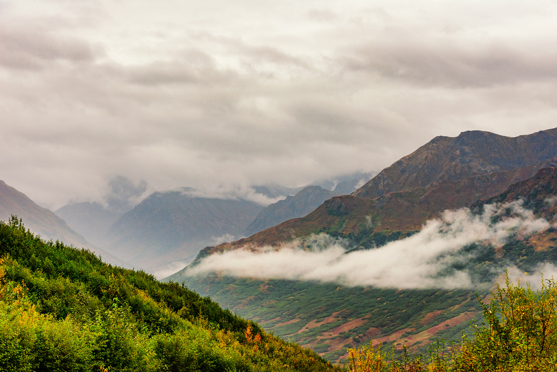
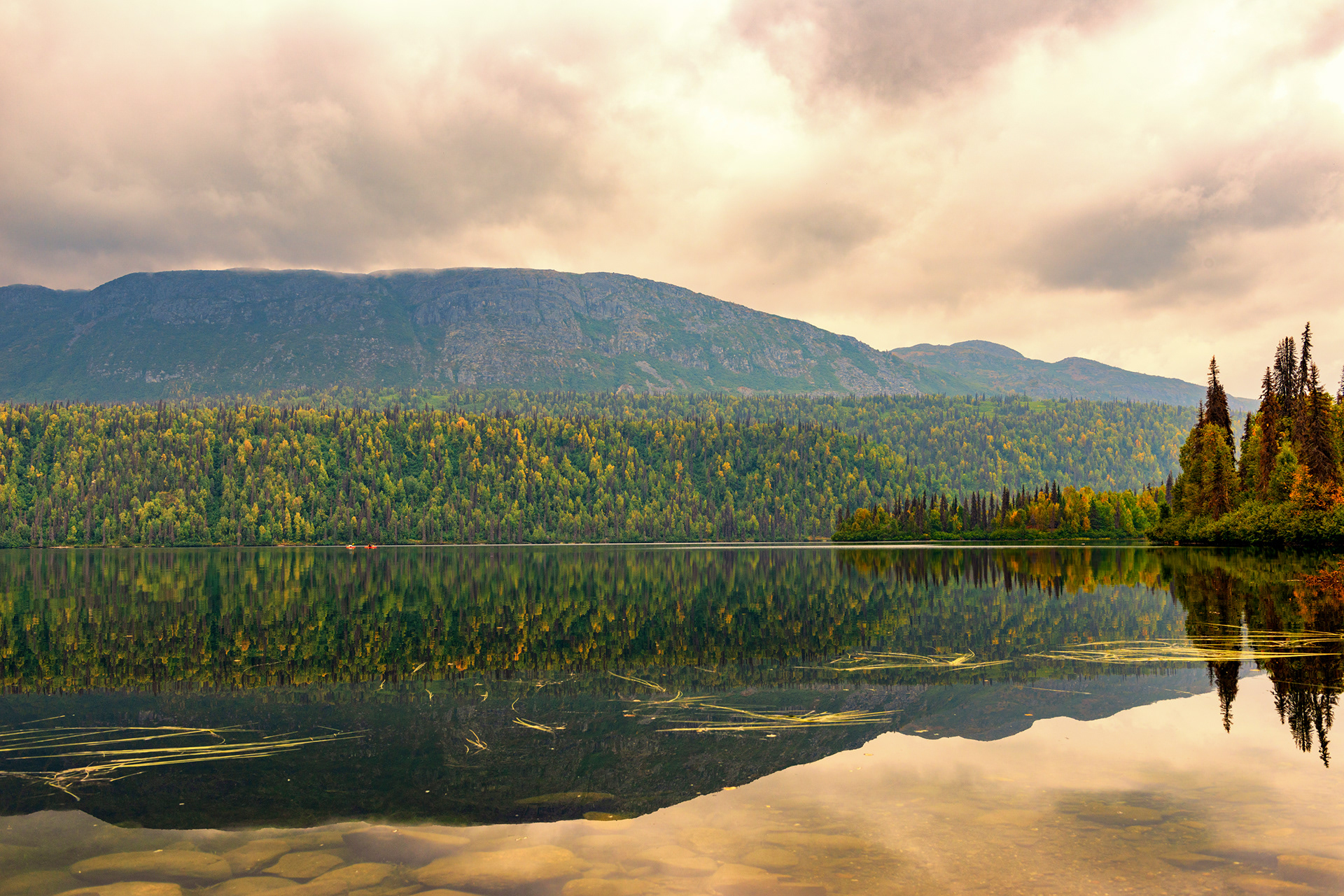
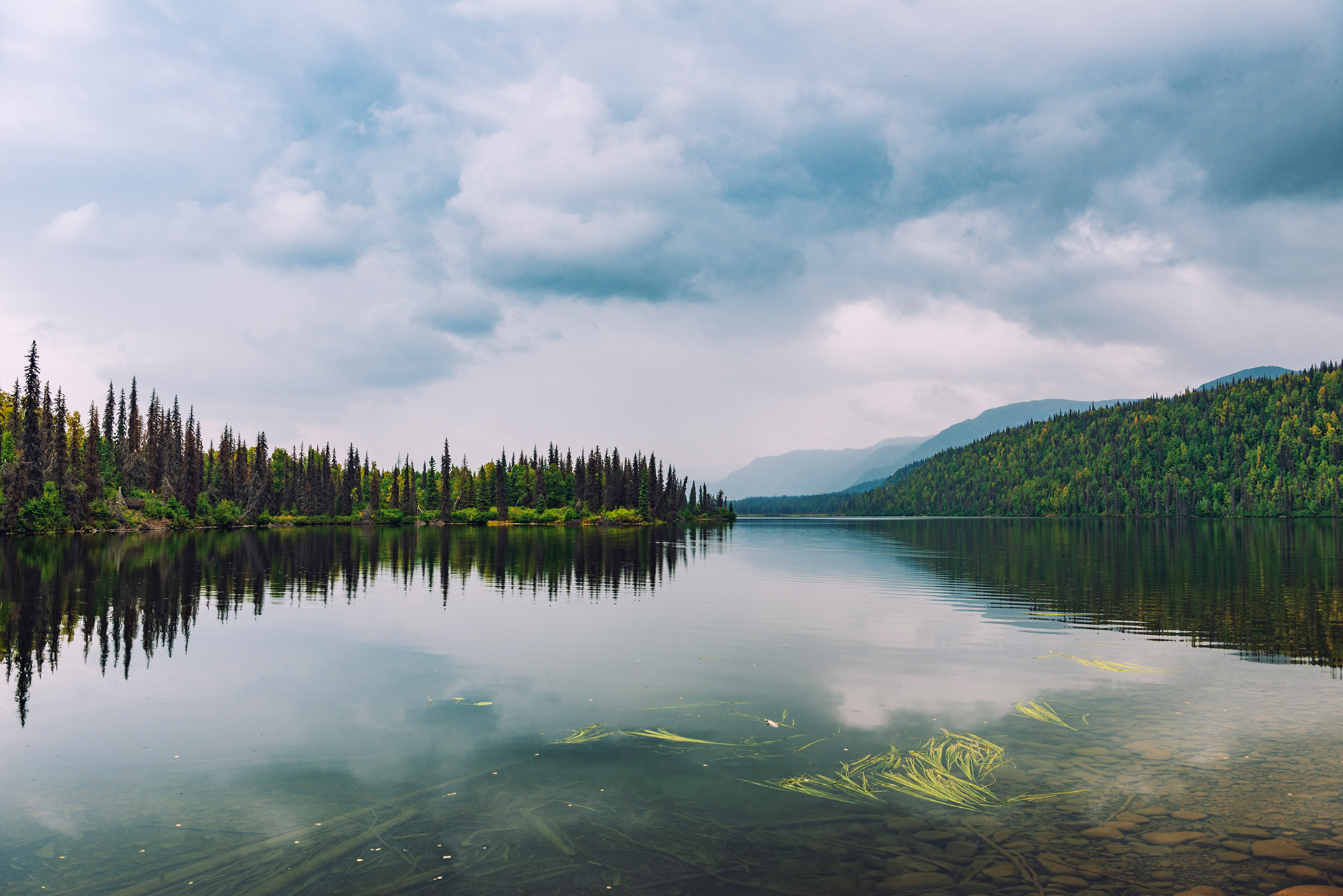
Hess Creek Overlook Just north of the Yukon River crossing, a pullout delivers a panoramic sweep of the surrounding boreal forest. The perspective is wide and almost vertiginous — the land stretches out in every direction with no indication that other humans exist anywhere within it. This is the look of Alaska at its most characteristic.
Yukon River Crossing (Mile 56): The Yukon is one of North America's great rivers — 1,980 miles from its Canadian headwaters to the Bering Sea. Crossing it here, on a bridge that also carries the pipeline, feels significant. The visitor station on the north bank is run by a volunteer ranger who stamped our Arctic Circle crossing certificates even though we hadn't technically crossed yet (he called it "cheating," but gave us the stamps anyway). This is the only fuel stop for the first hundred miles, so top off.
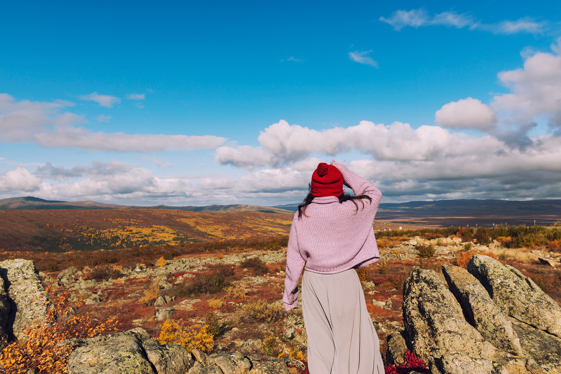
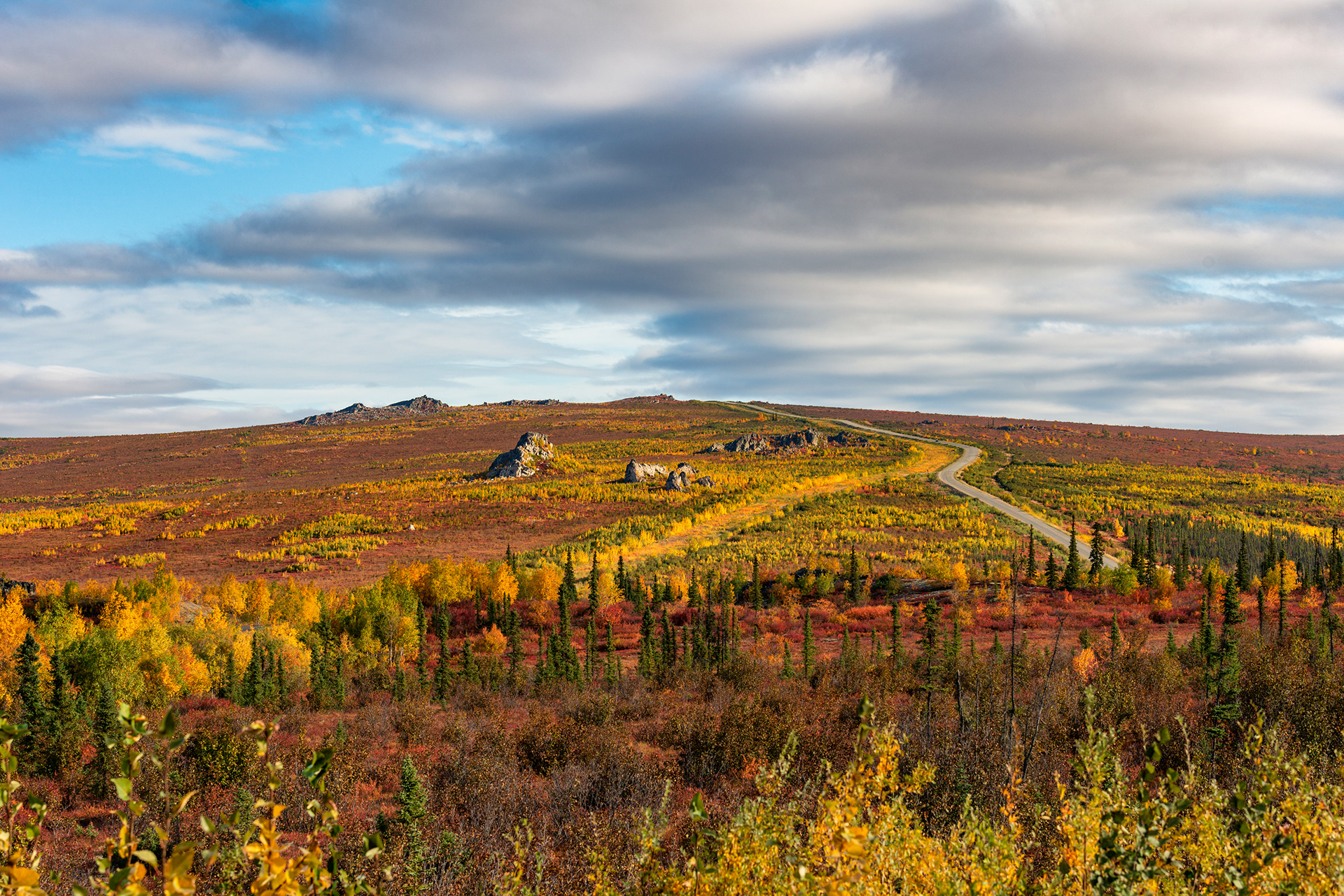
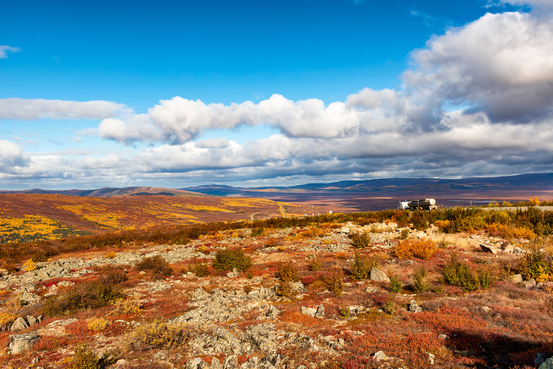
86-Mile Overlook: A short spur climbs above the treeline and opens onto one of the Dalton's most dramatic viewpoints — a bird's-eye sweep over the Yukon Flats, with the winding road visible far below. The autumn colors at this elevation, set against the scale of the valley, looked like something poured from a painter's palette. Do not skip this one.
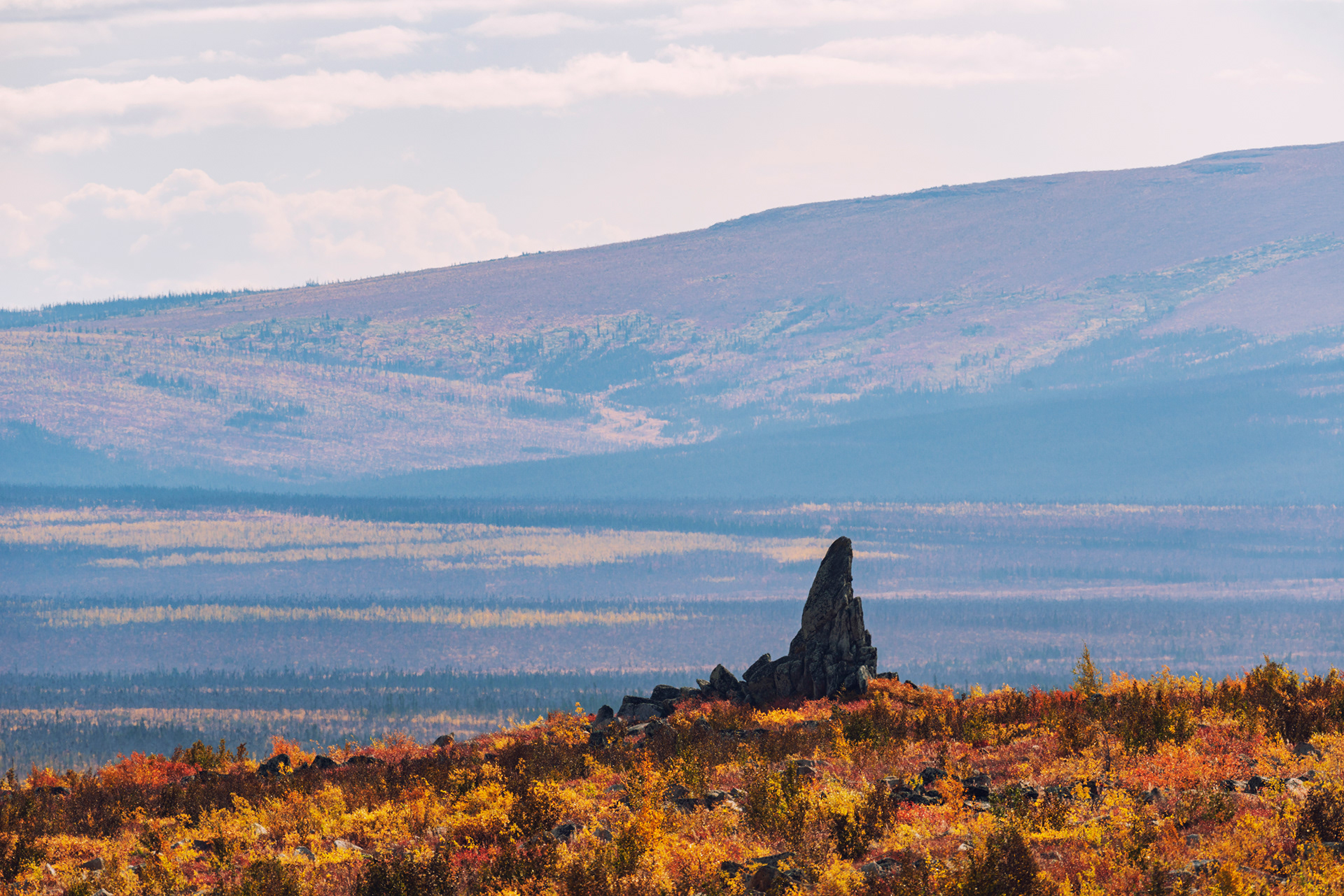
Finger Mountain: If I had to recommend just one stop on the entire Dalton, it would be Finger Mountain. A distinctive rock formation shaped like a pointing finger gives it the name, but the reason to stop is the complete hiking system that fans out from the parking area. Even a short loop around the ridgeline above the parking lot rewards you with 360-degree views of tundra, mountains, and the pipeline threading south toward the horizon. The same ranger from the Yukon Crossing was there when we arrived — done with his official duties for the season, he'd driven up just to enjoy it. He told us it was his favorite spot on the whole highway. I believe him.
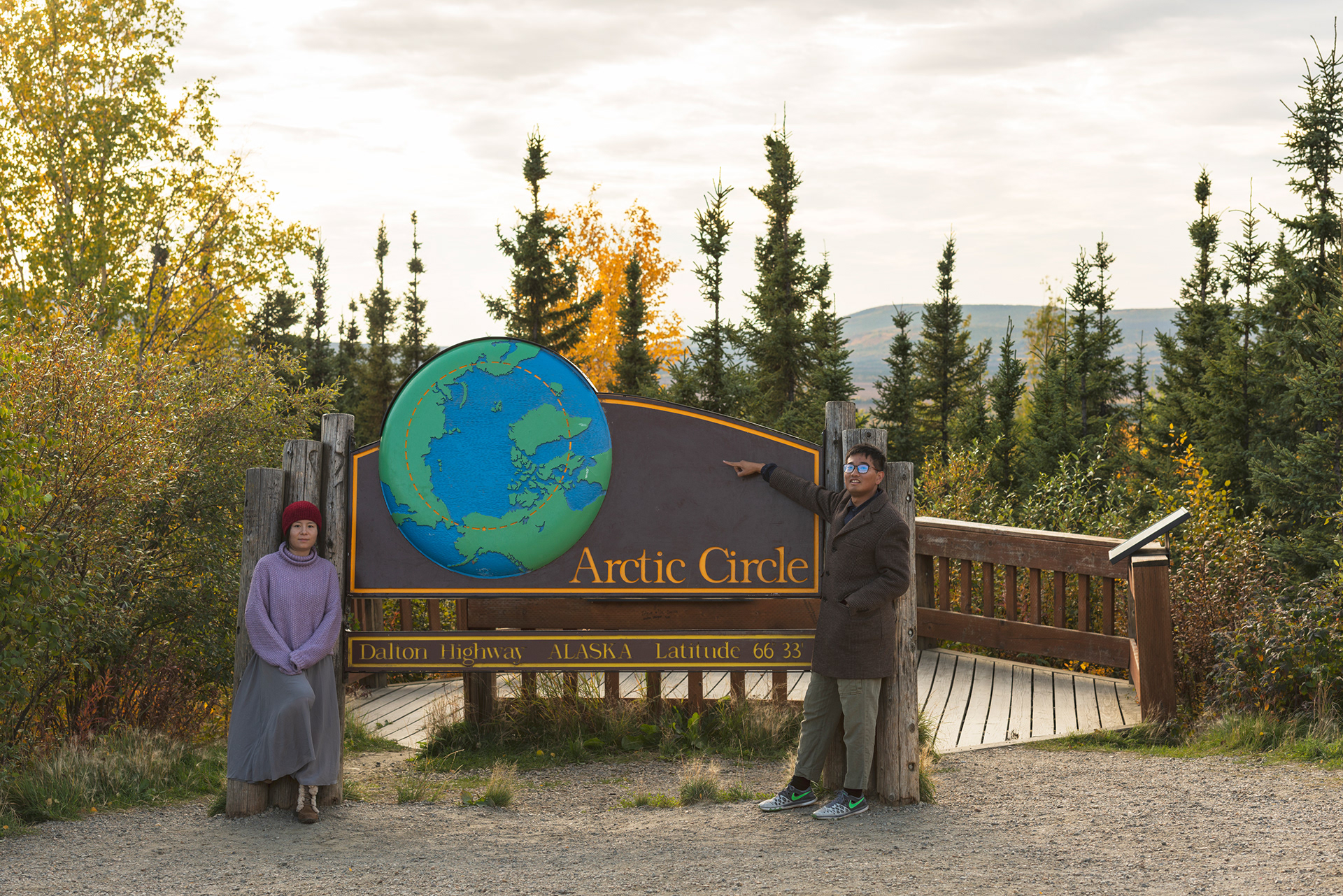
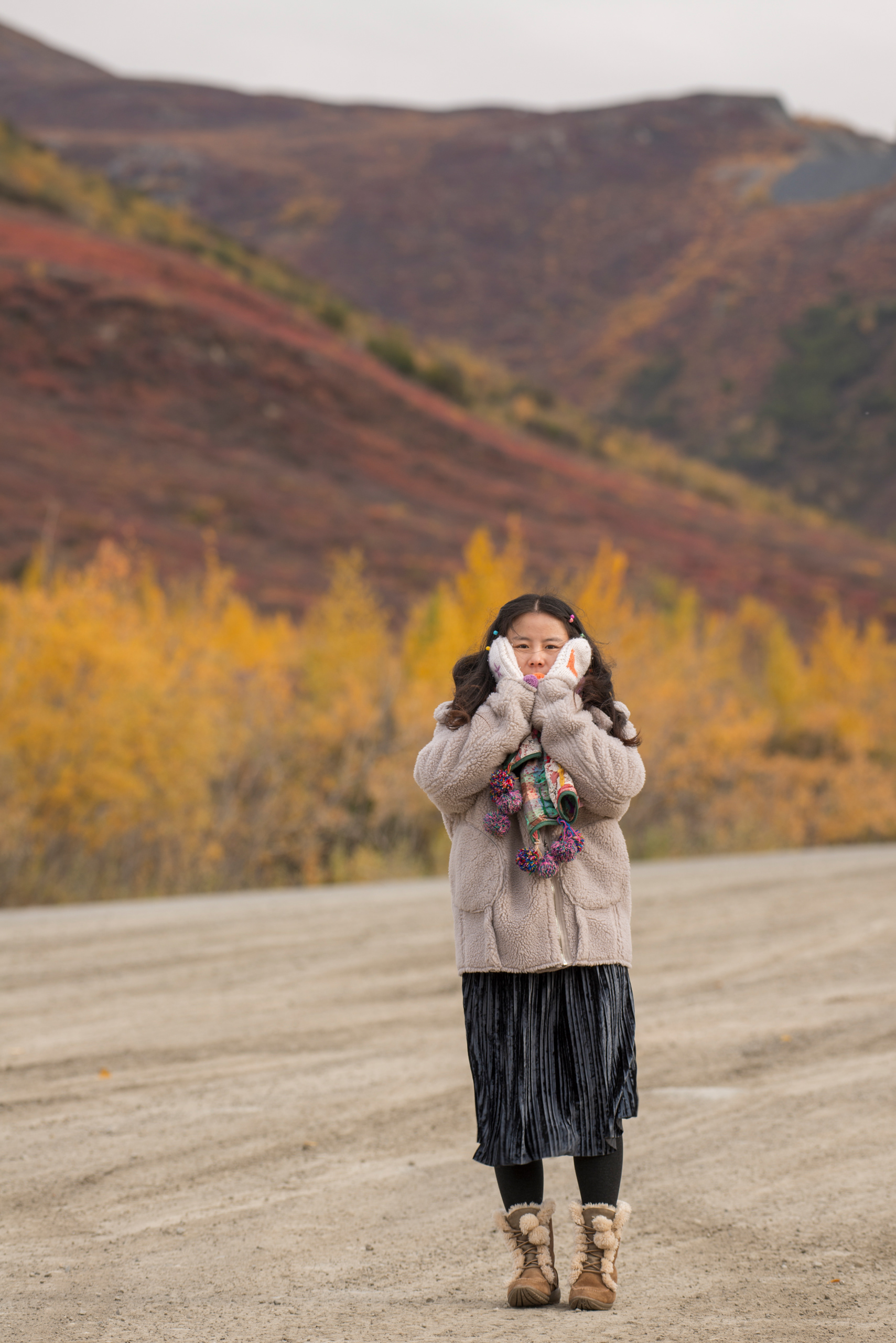
Arctic Circle Sign: At approximately mile 115, a sign marks the latitude 66.5°N — the theoretical line where the midnight sun first appears at the summer solstice and where polar night first descends at the winter solstice. In practical terms, crossing it means you've entered the Arctic. Most day-trippers from Fairbanks turn back here. We pressed on.
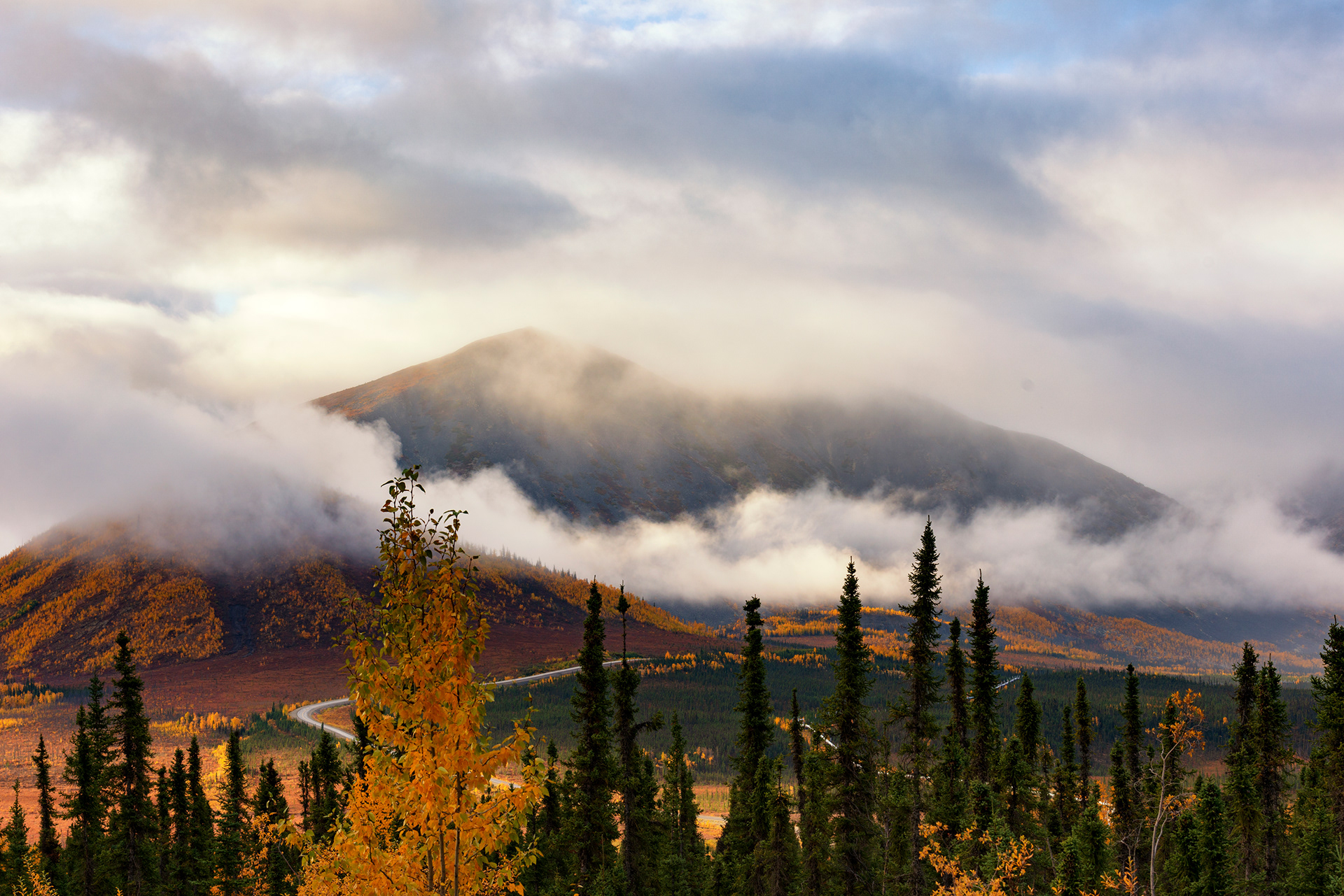
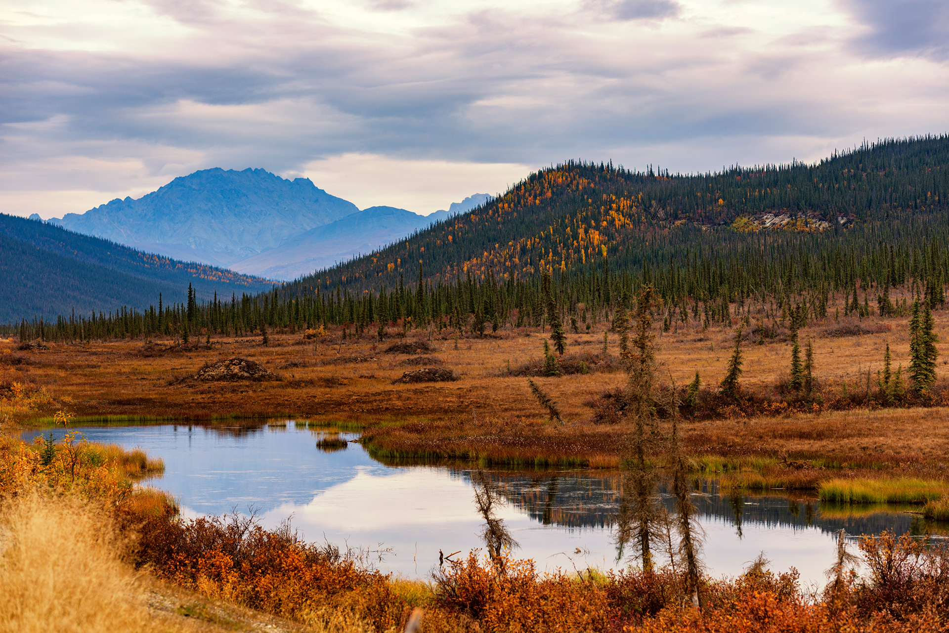
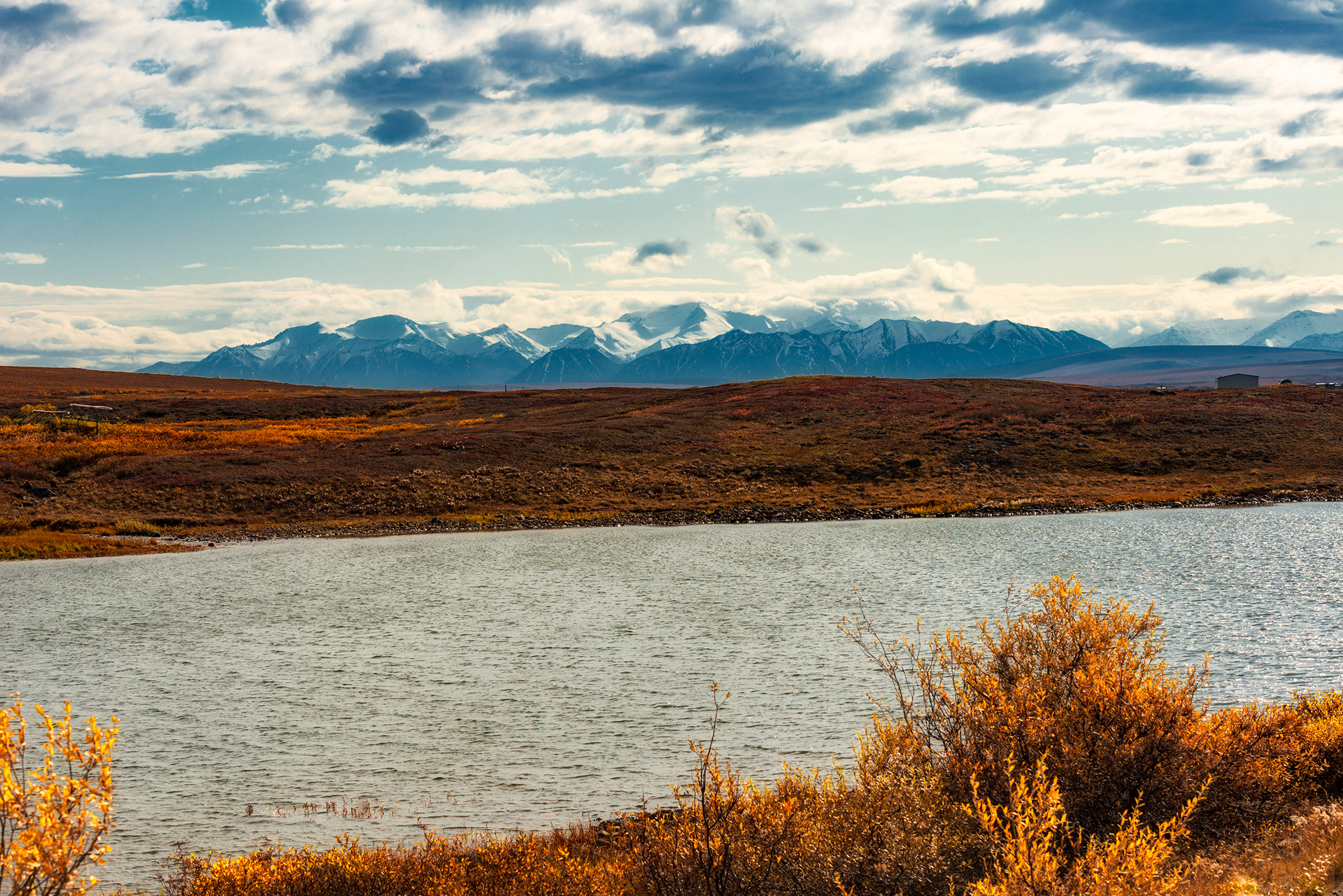
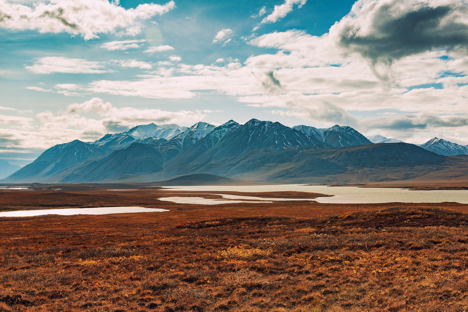
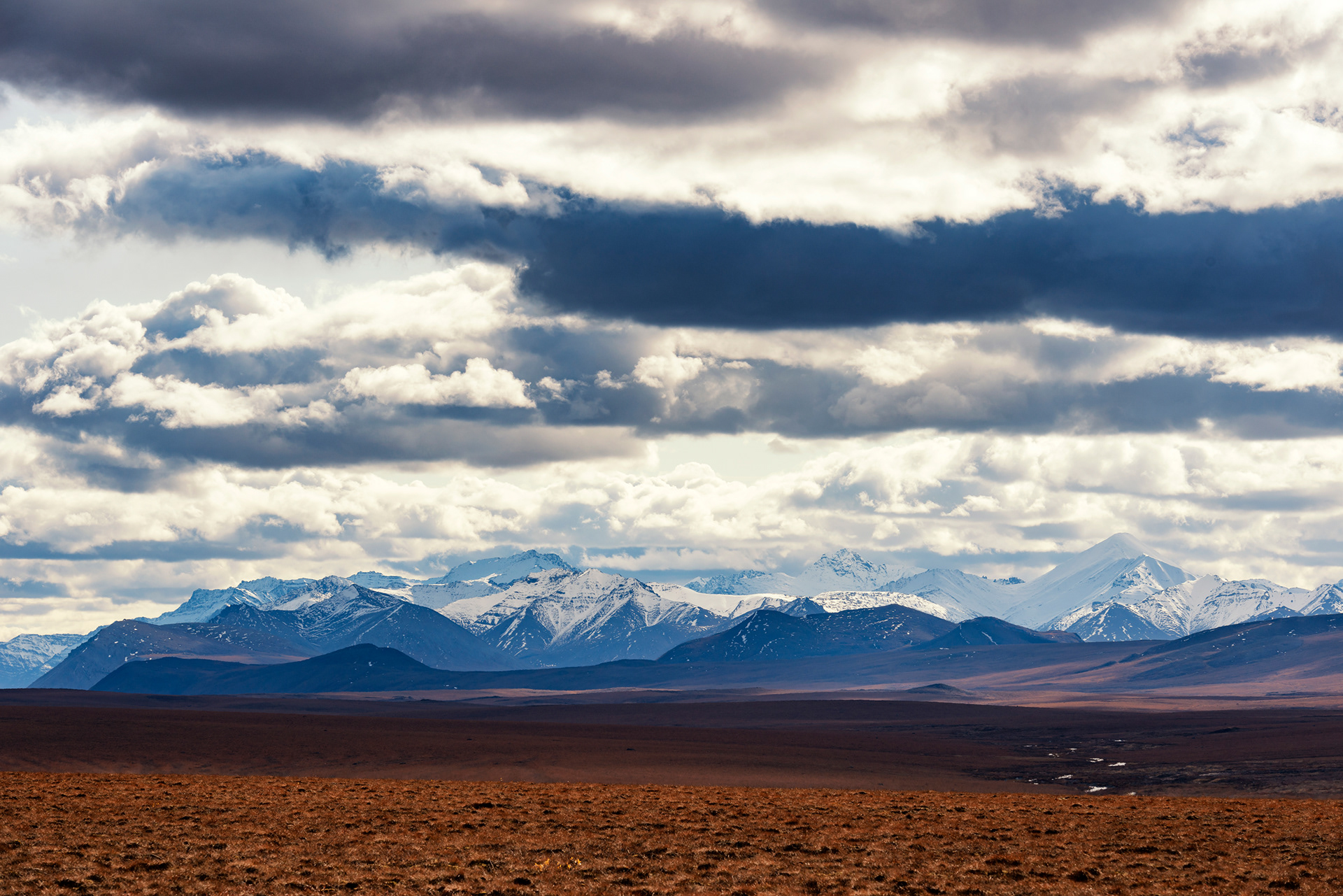
Gobbler's Knob: A roadside pull-off where the Brooks Range first comes into view to the north — a wall of dark mountains across the horizon, rising from the tundra like a geological argument. In summer you can watch the midnight sun roll along the ridge. In September we watched the light go golden at 9 PM and the mountains turn purple.


Coldfoot & Wiseman
A trucker's stop and a forgotten hamlet — fourteen miles and a world apart
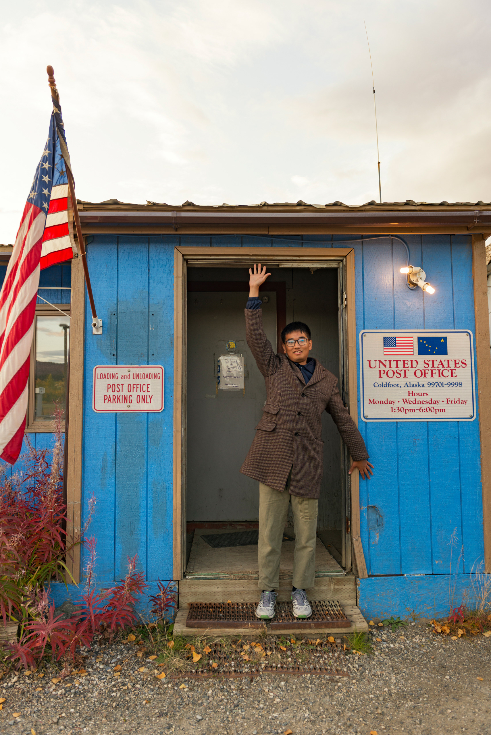
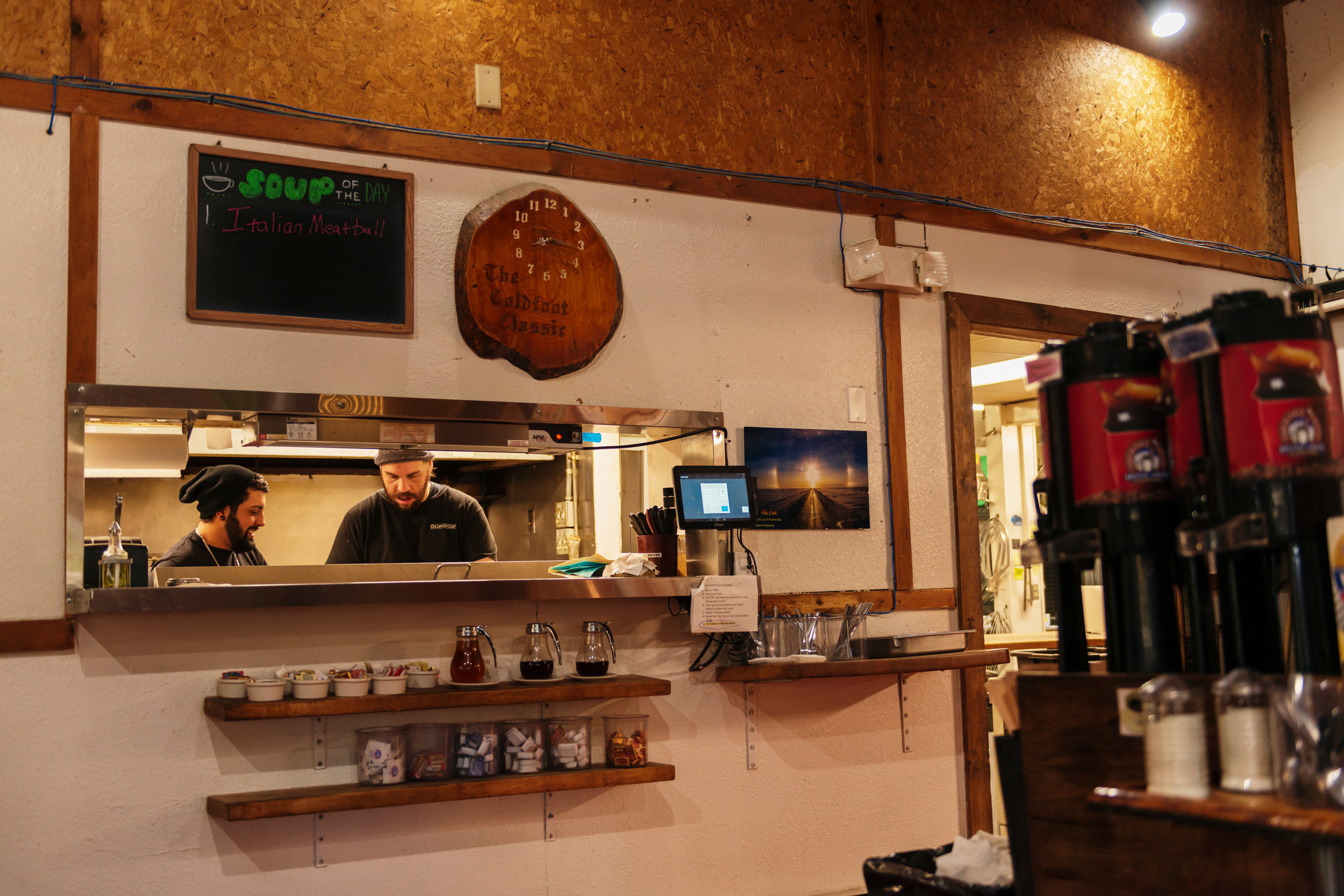
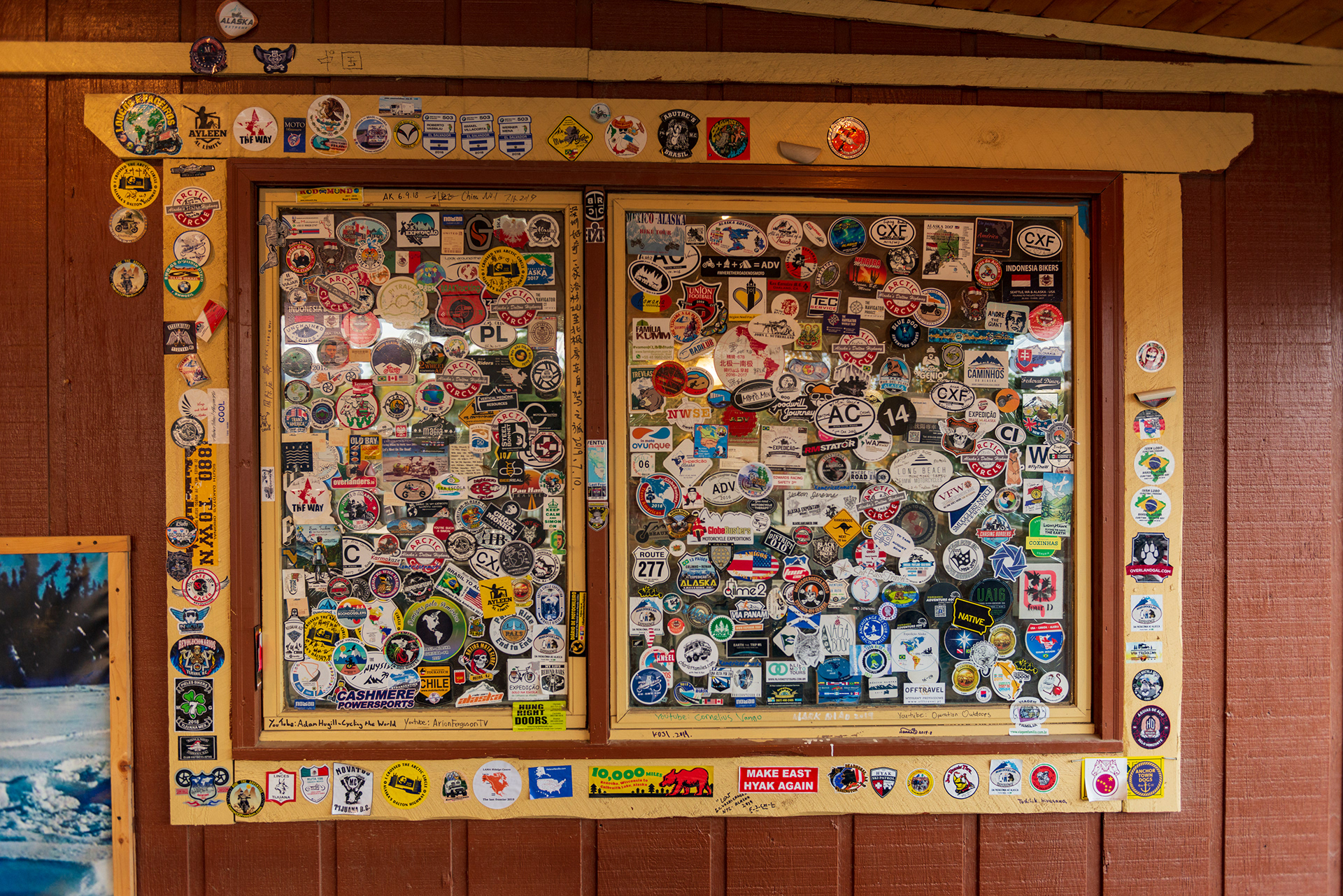
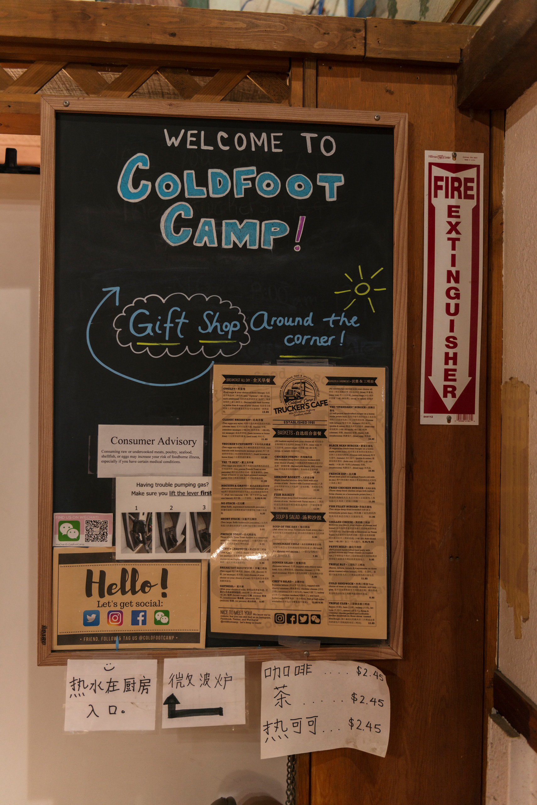
Coldfoot sits at mile 175 and exists for exactly one reason: it is the last fuel stop before Deadhorse, 240 miles further north. Top off without exception — there is nothing between here and the end of the road. What's gathered around the fuel pumps is a trucker's rest stop with a visitor center, a restaurant, and the Arctic Interagency Visitor Center — the best place on the Dalton to pick up national park maps, speak to a ranger, and get an honest weather briefing for the road ahead. The food at Coldfoot Camp is exactly what you'd expect from a place that primarily serves long-haul drivers: enormous portions, unremarkable quality. After two days on the road, it tasted like a feast.
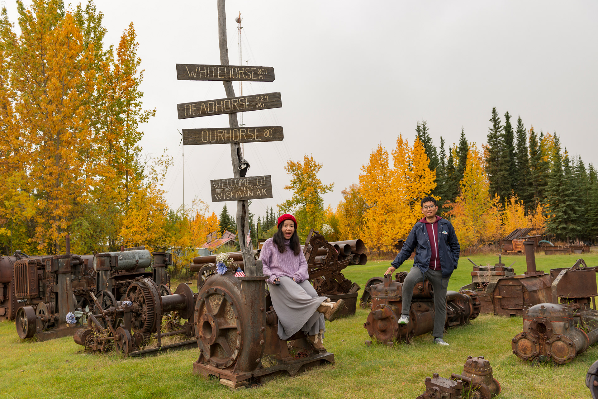
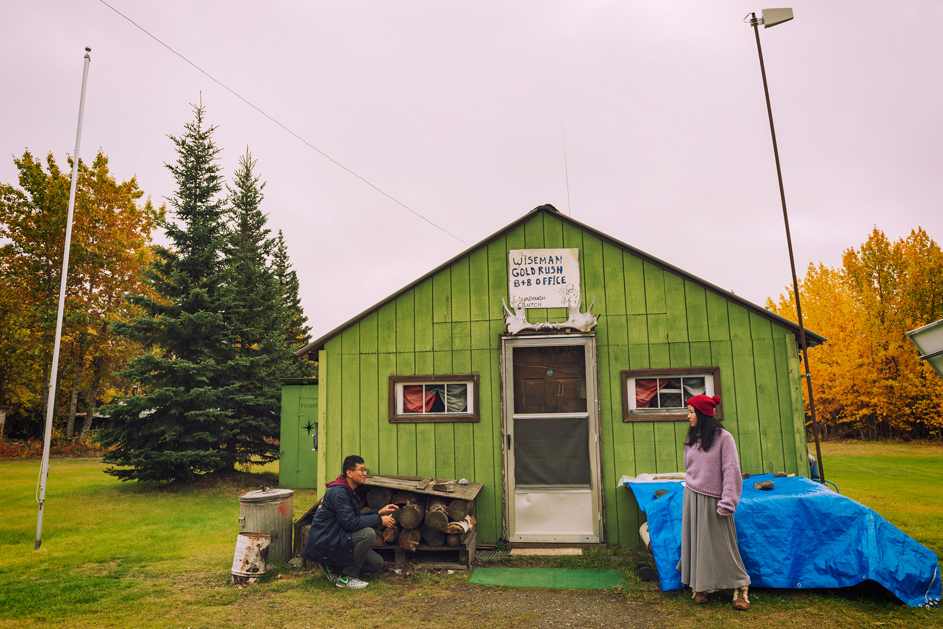
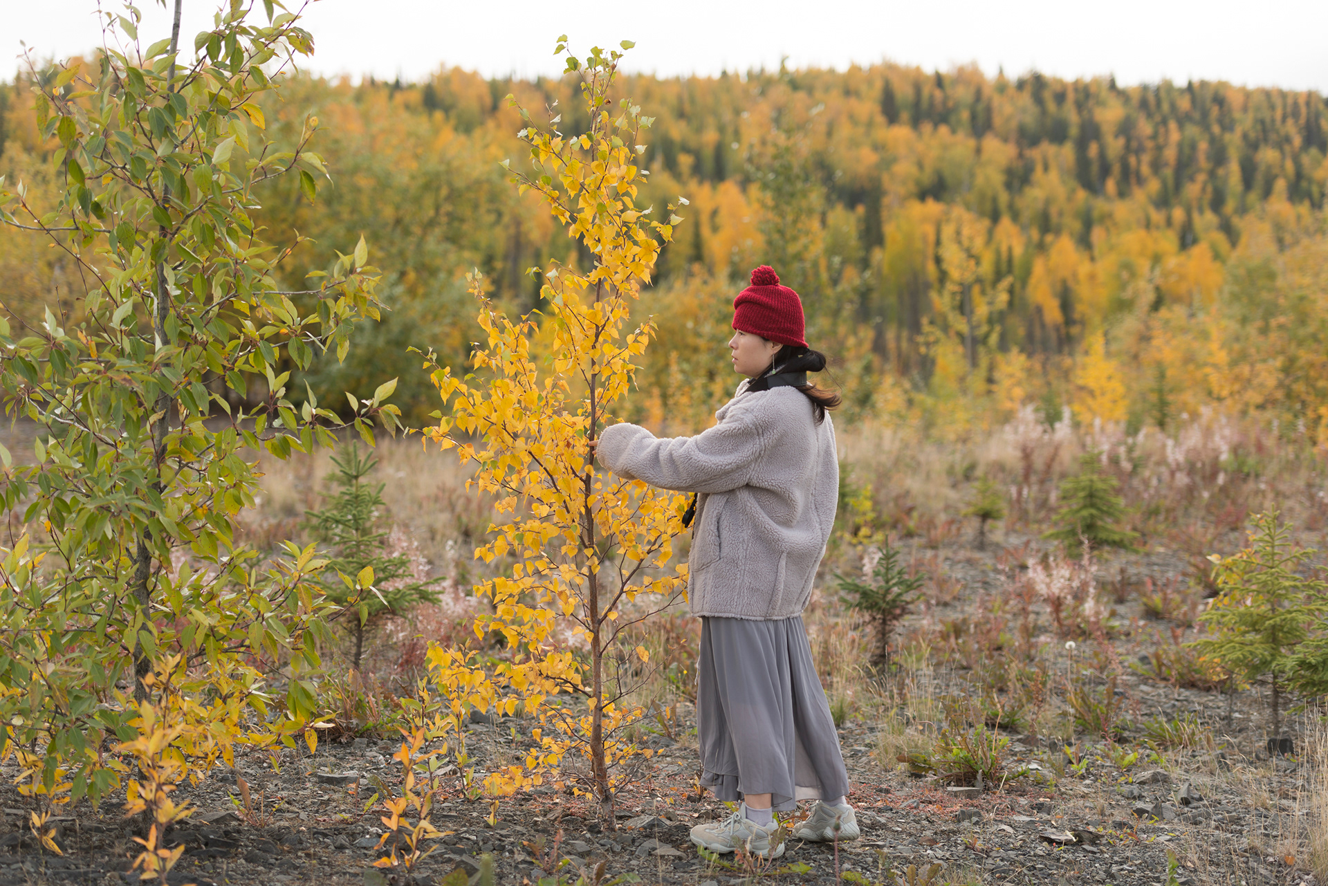
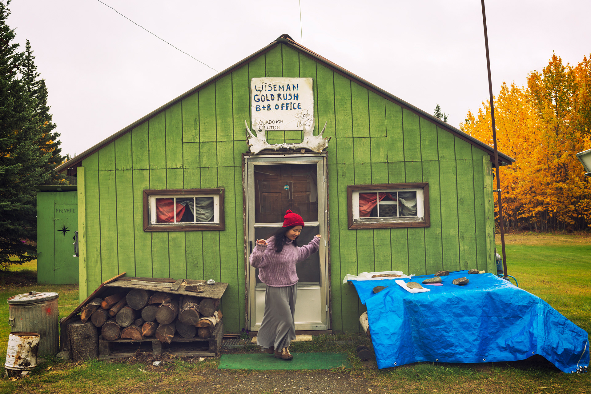
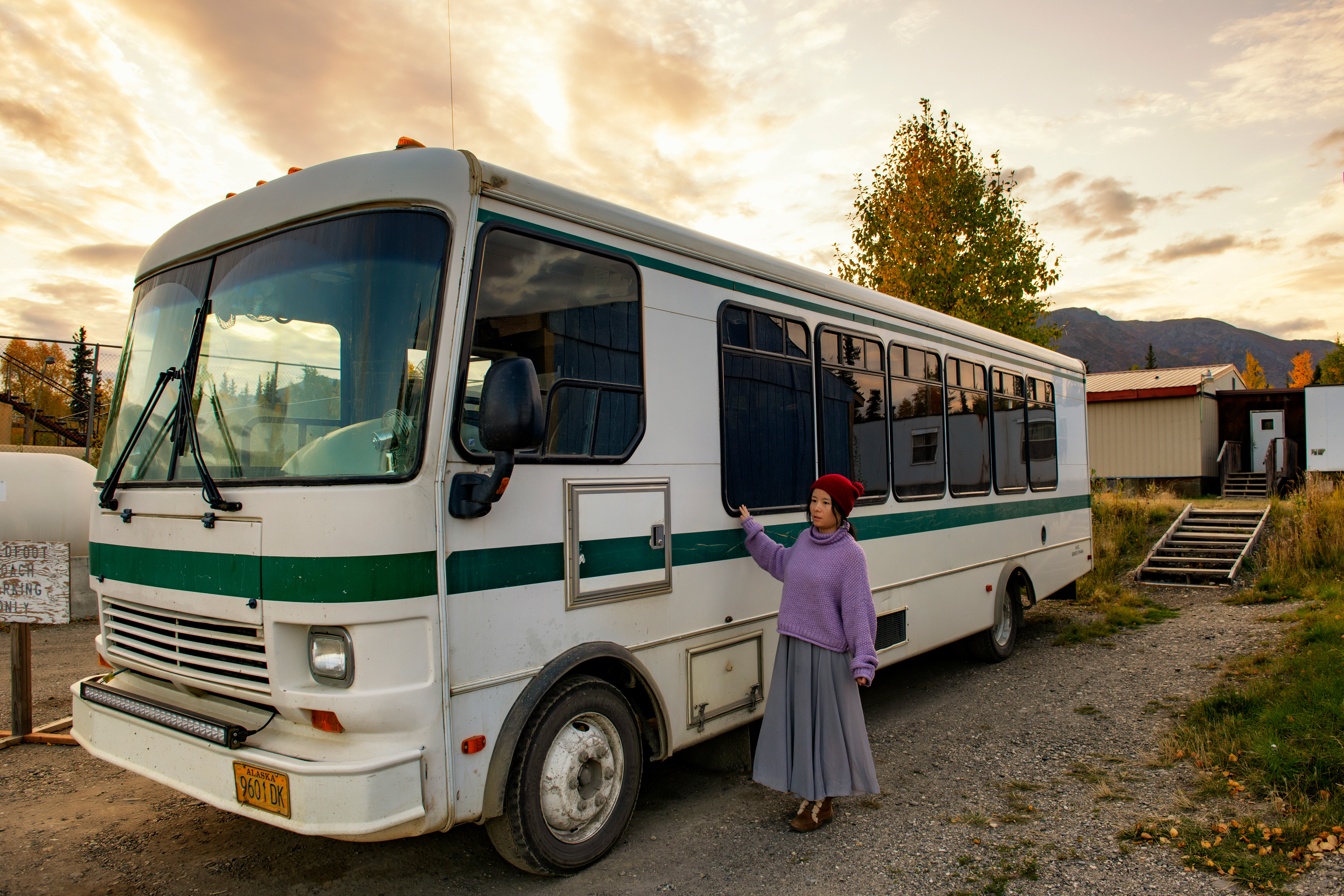
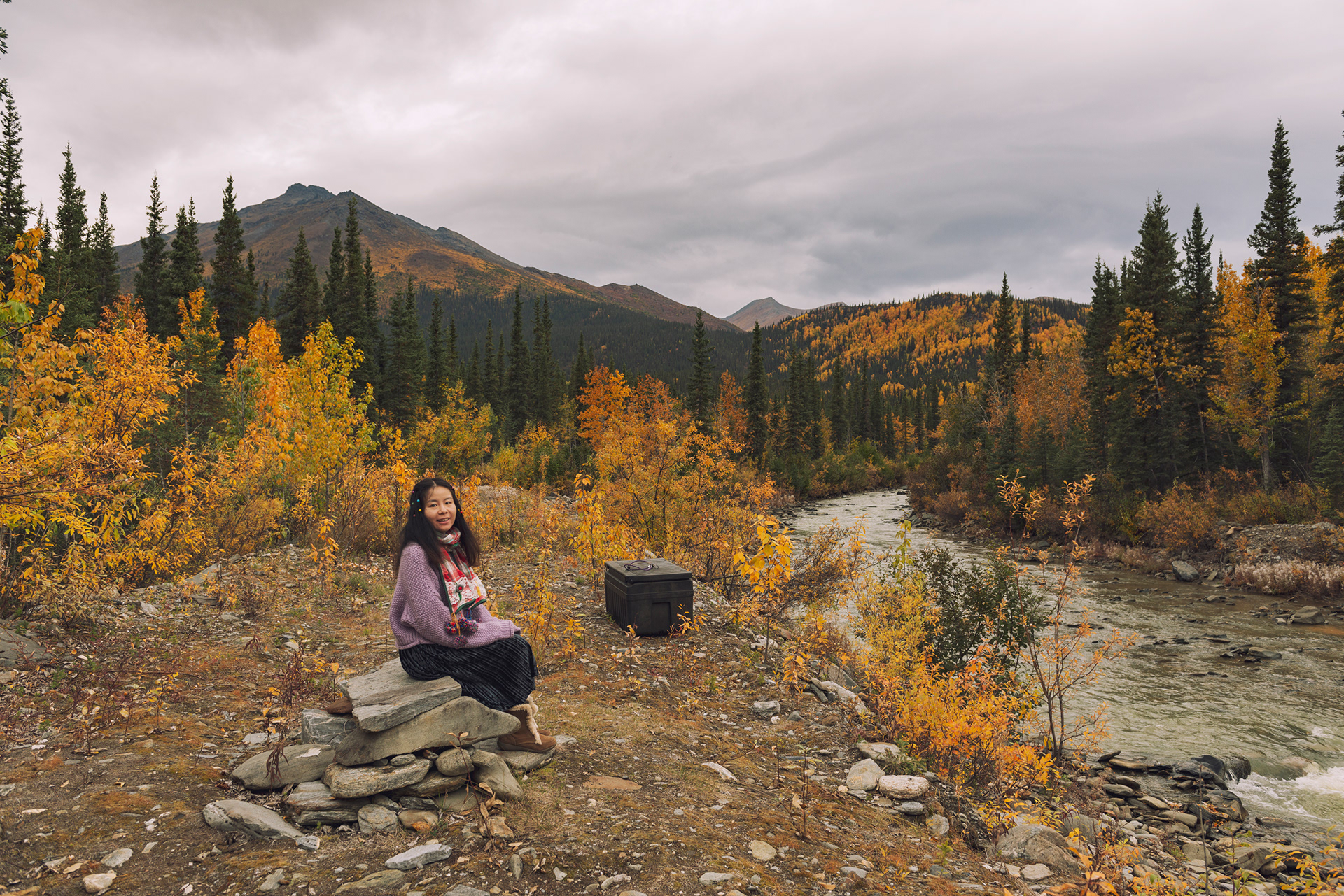
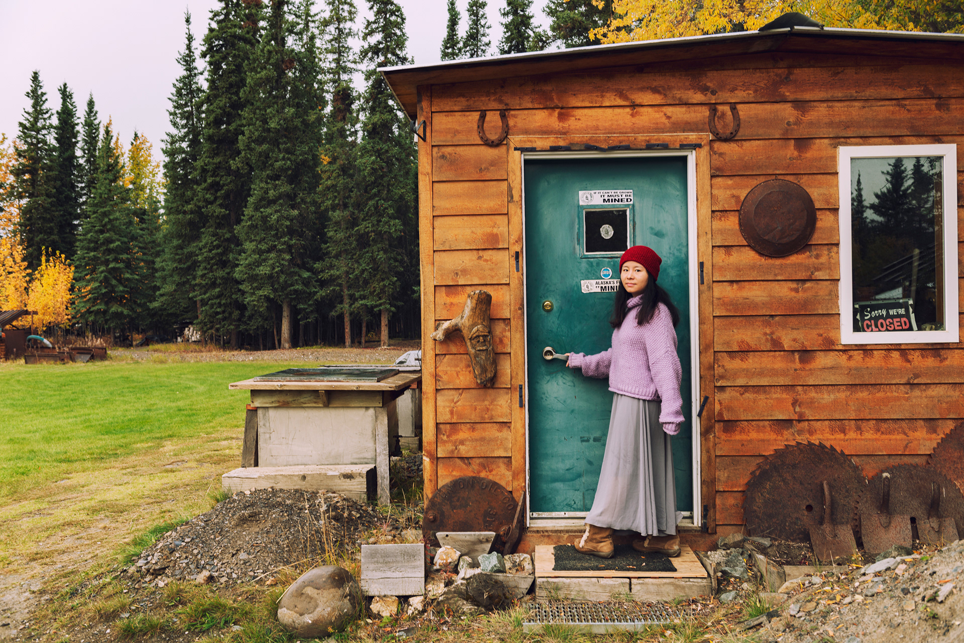
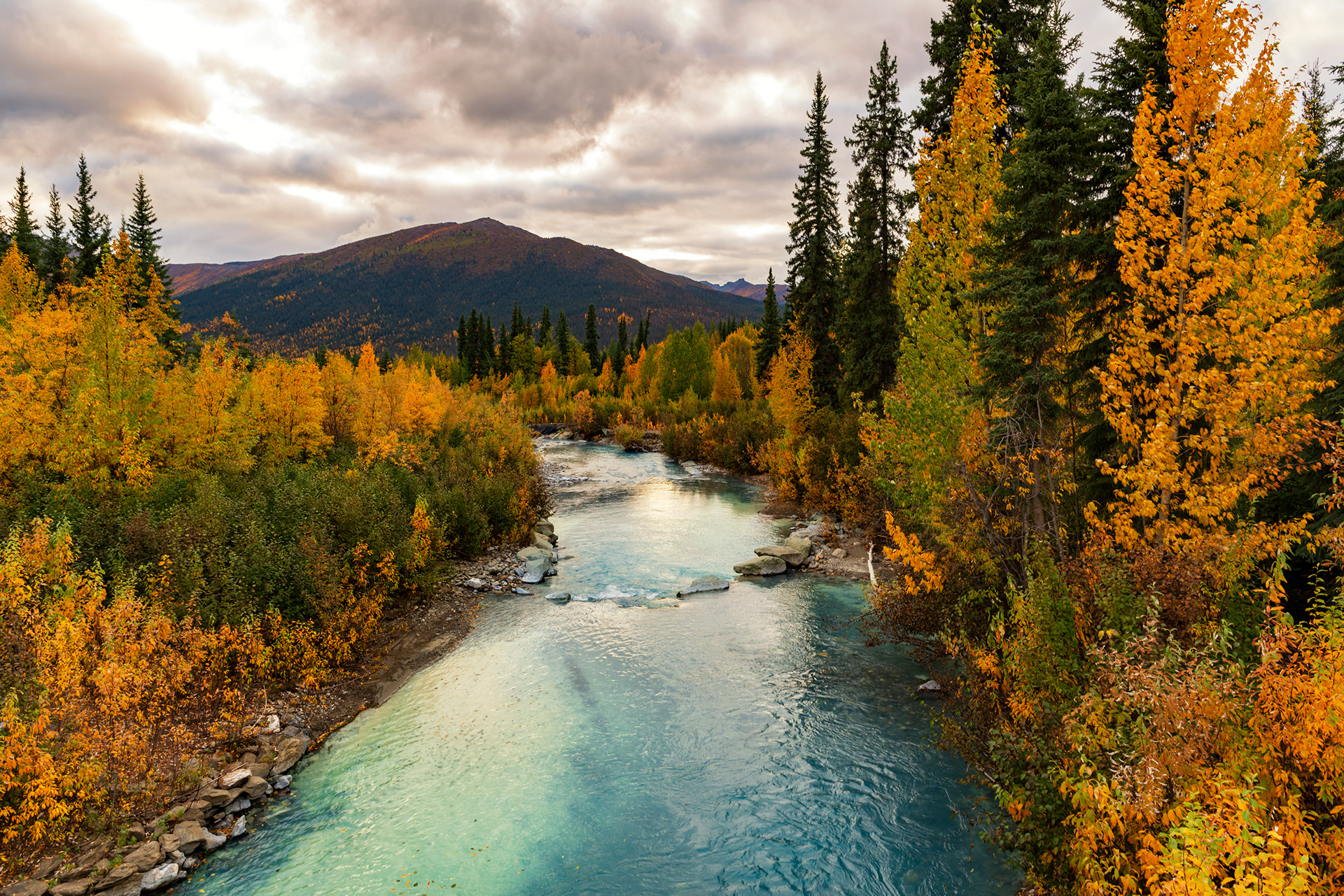
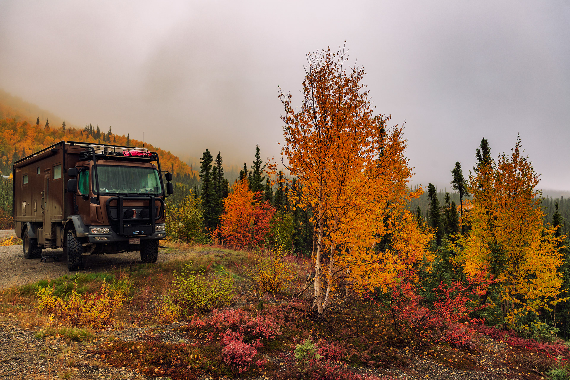
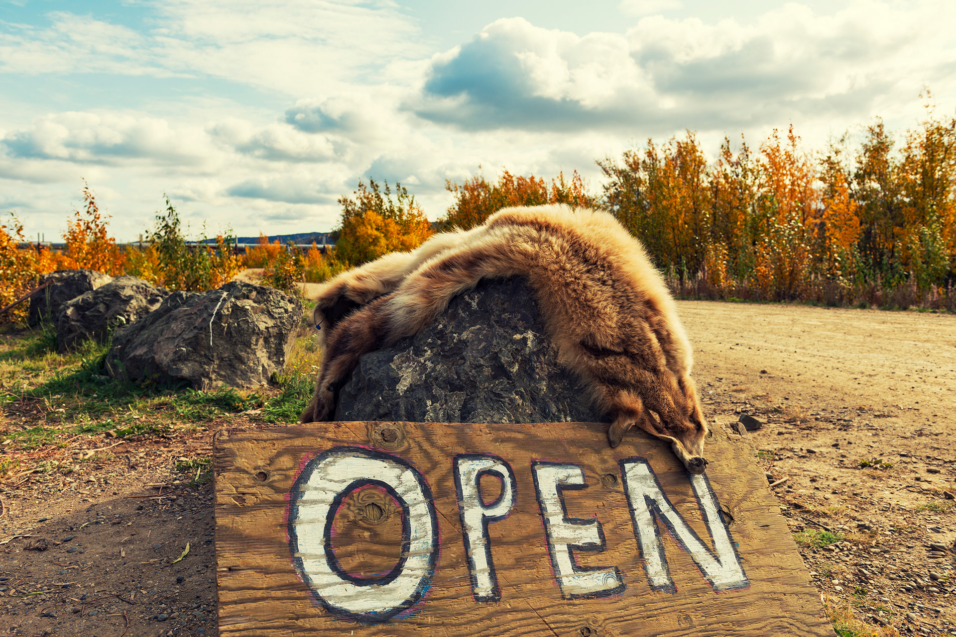
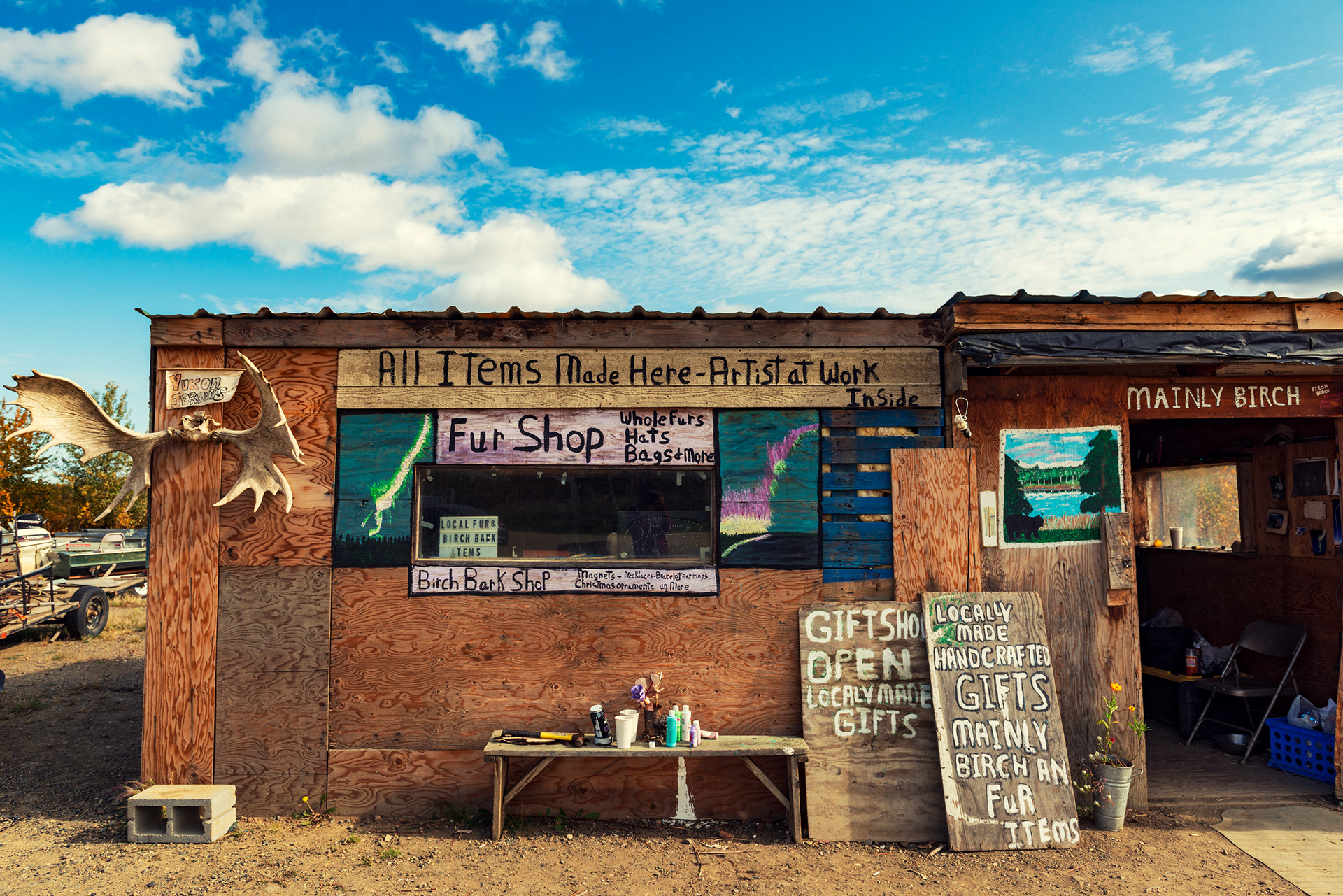
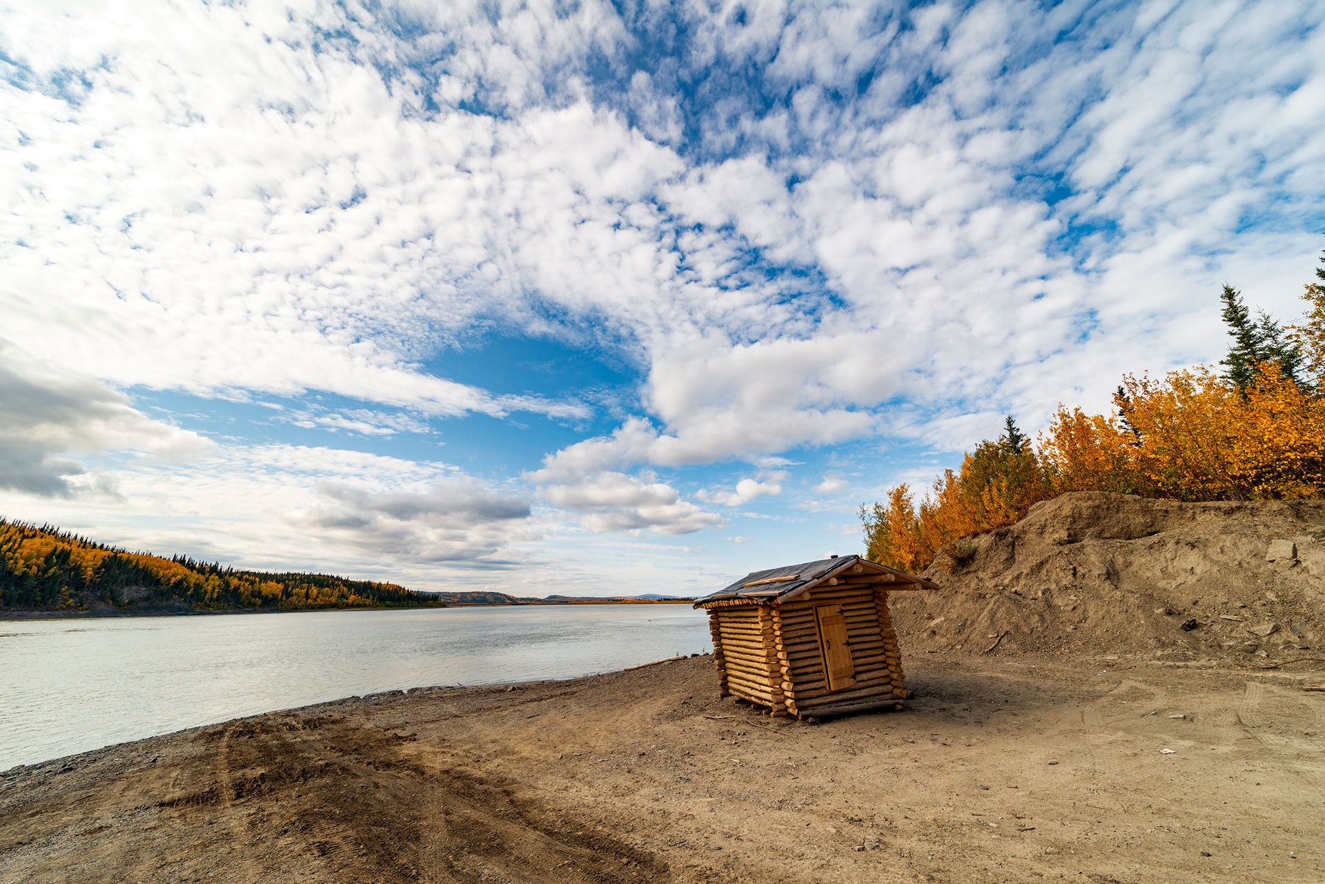
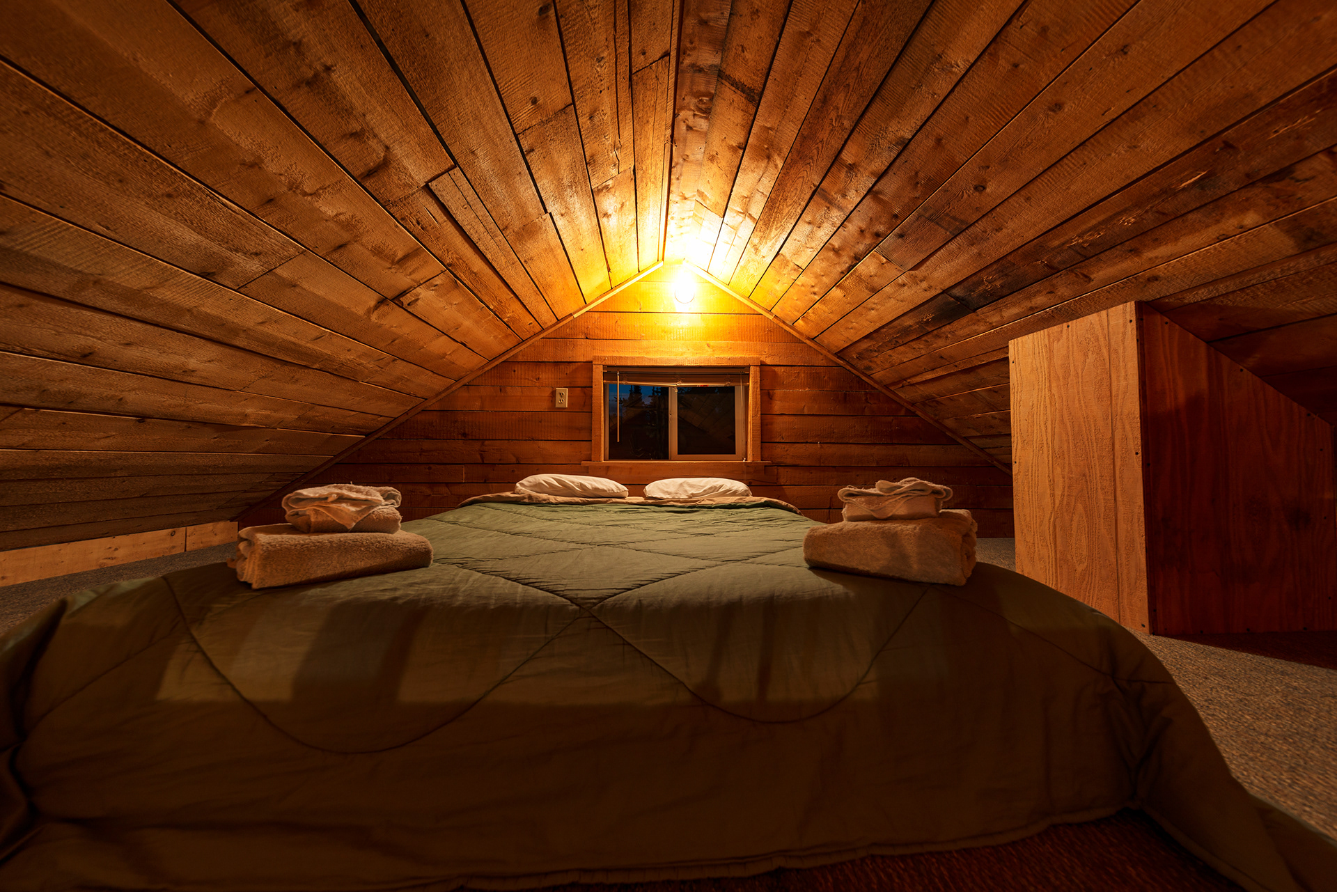
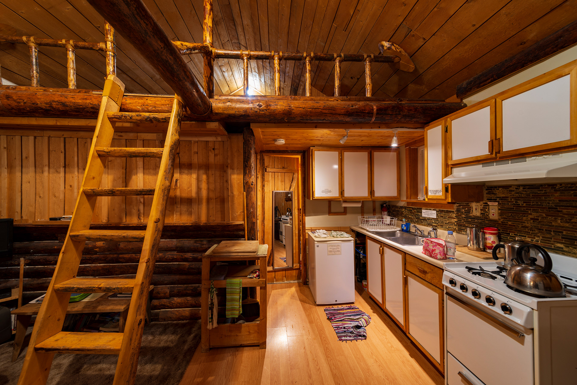
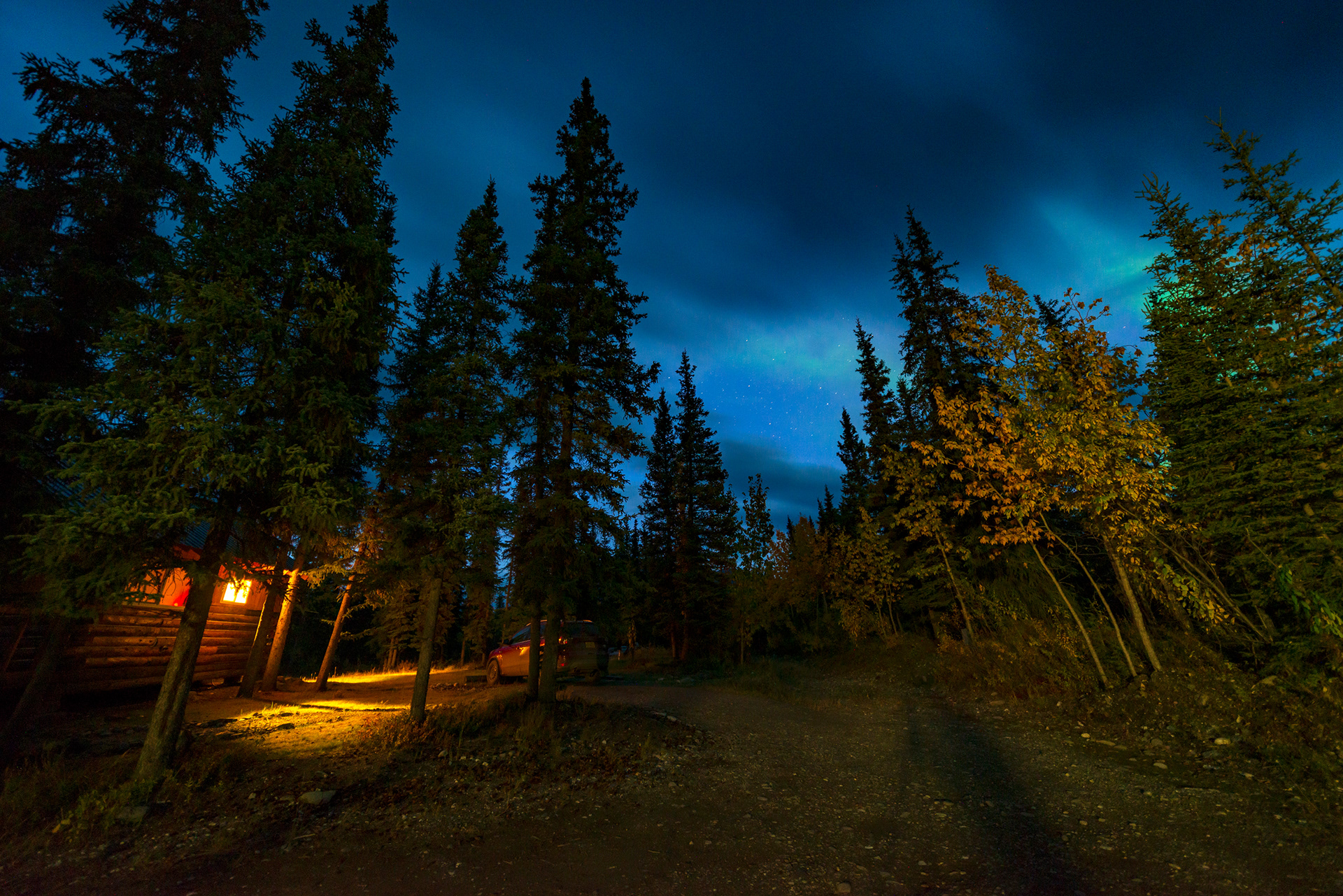
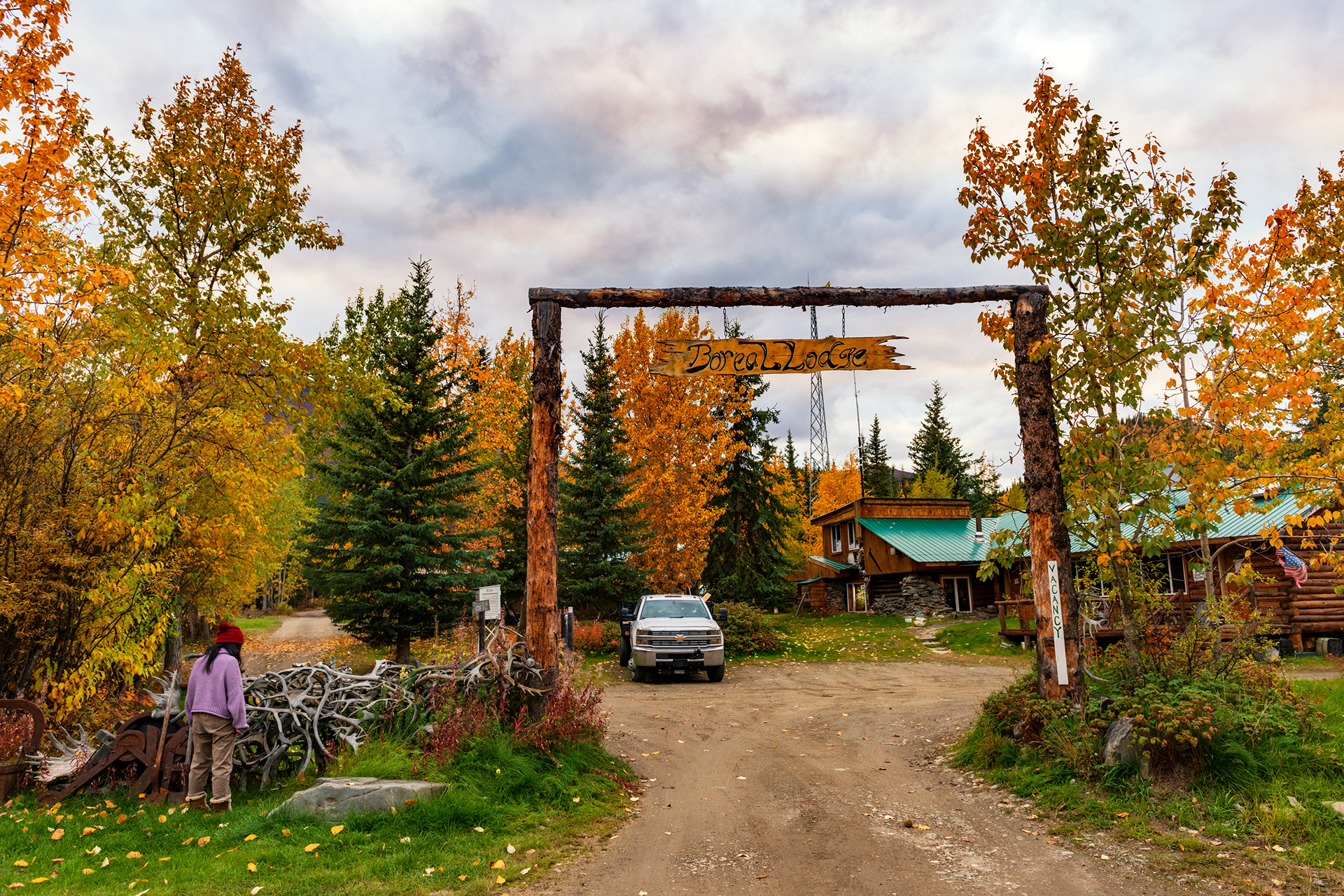
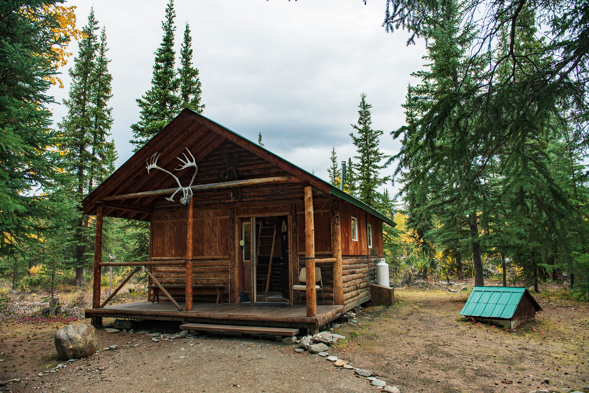
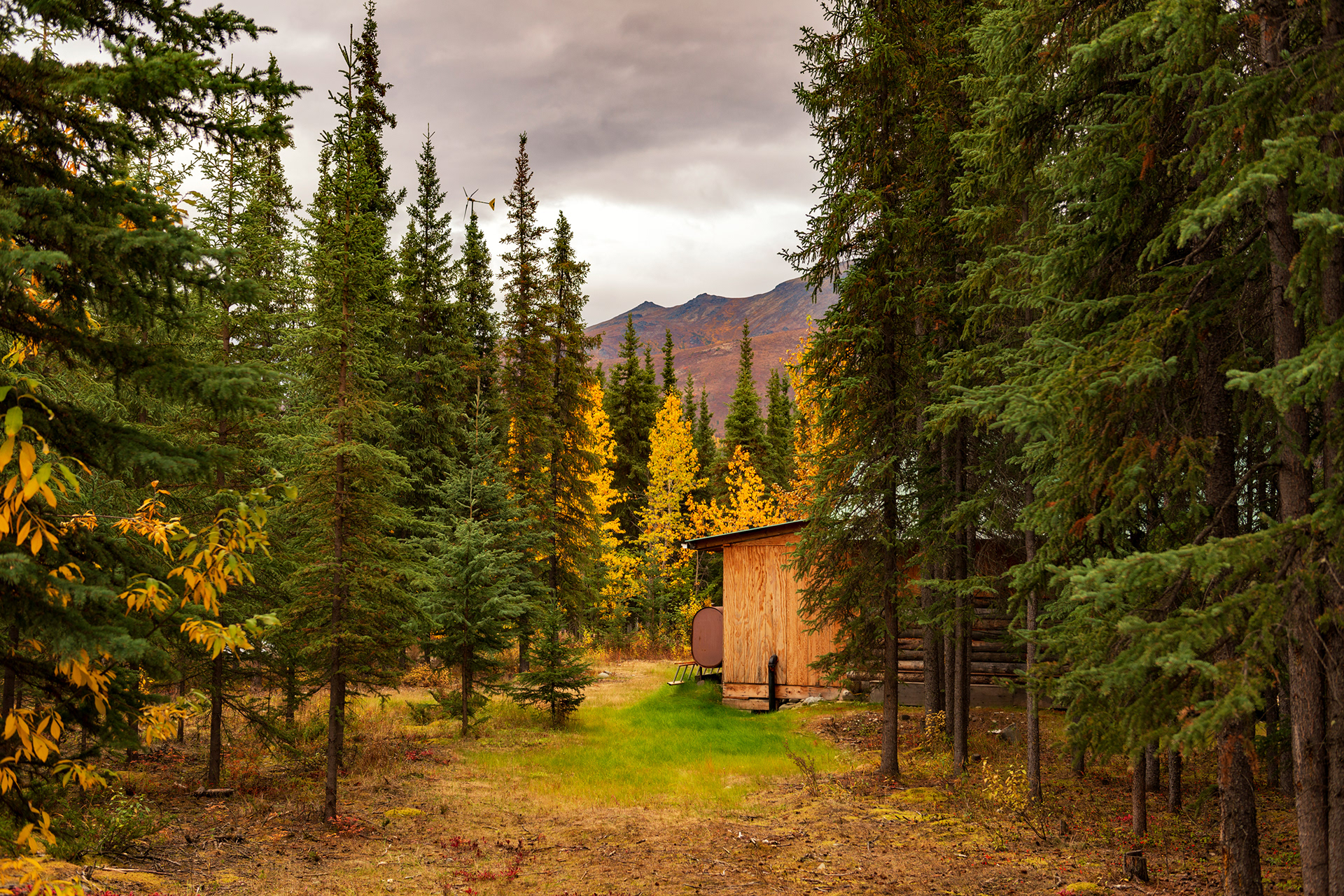
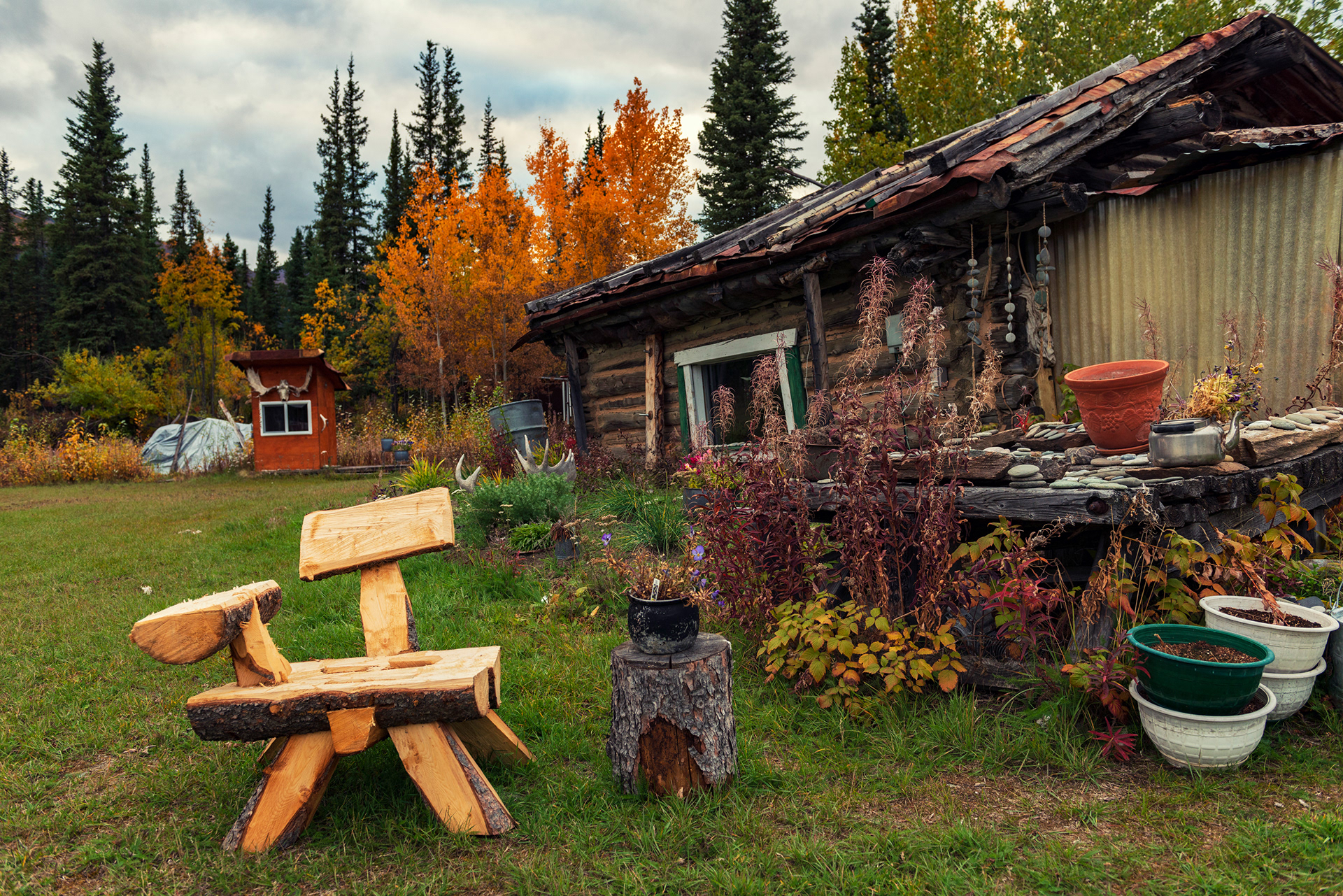
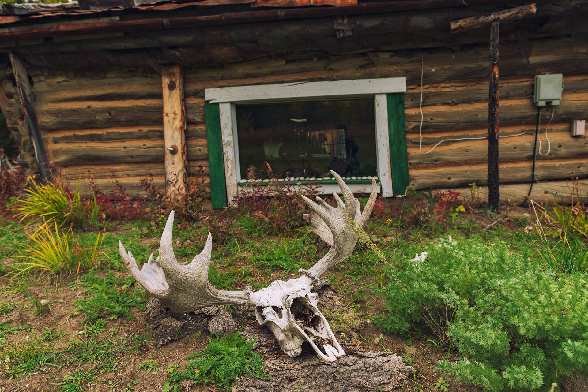
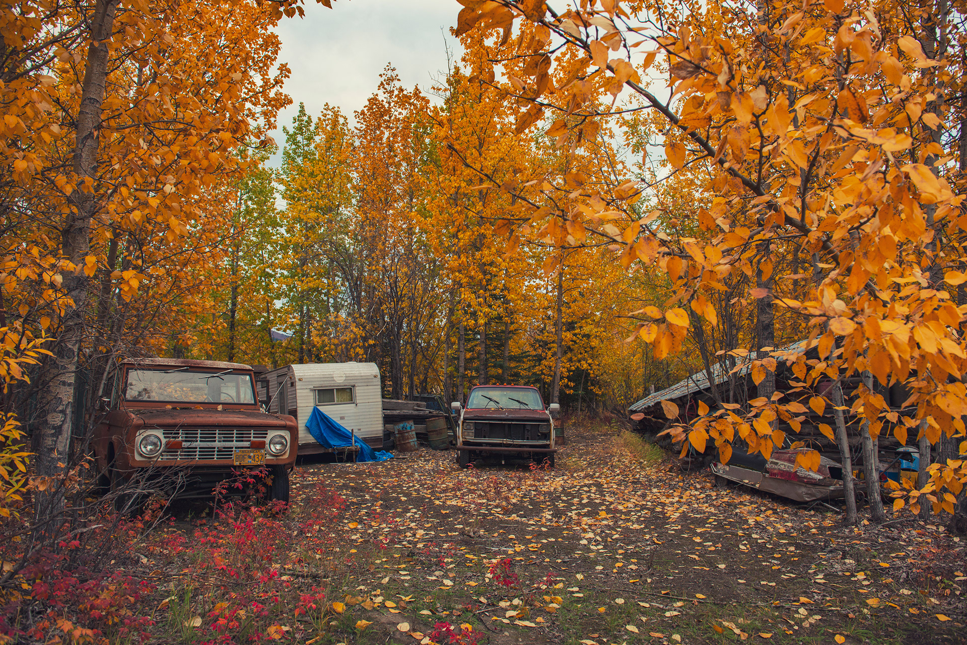
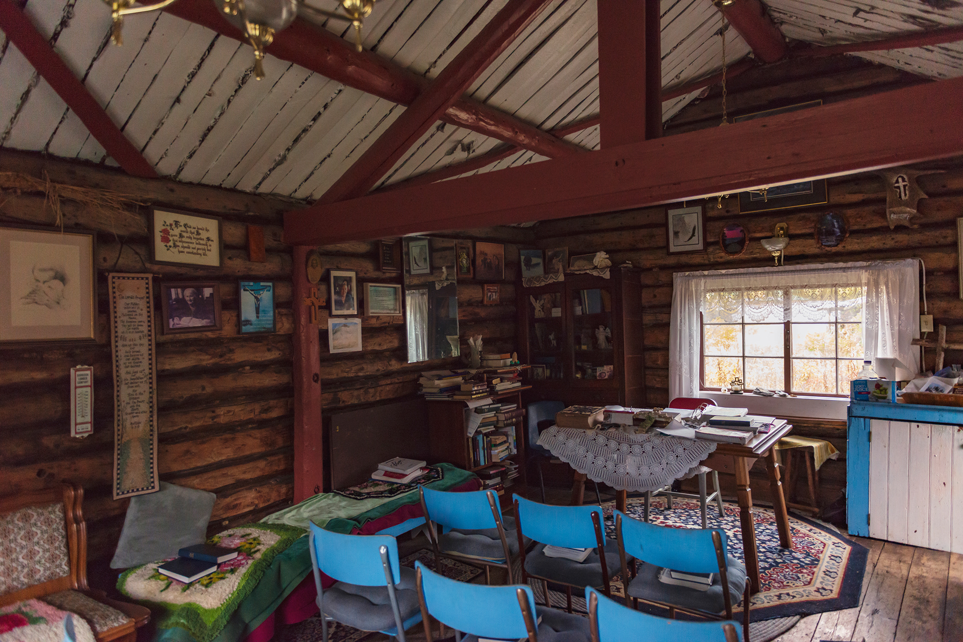
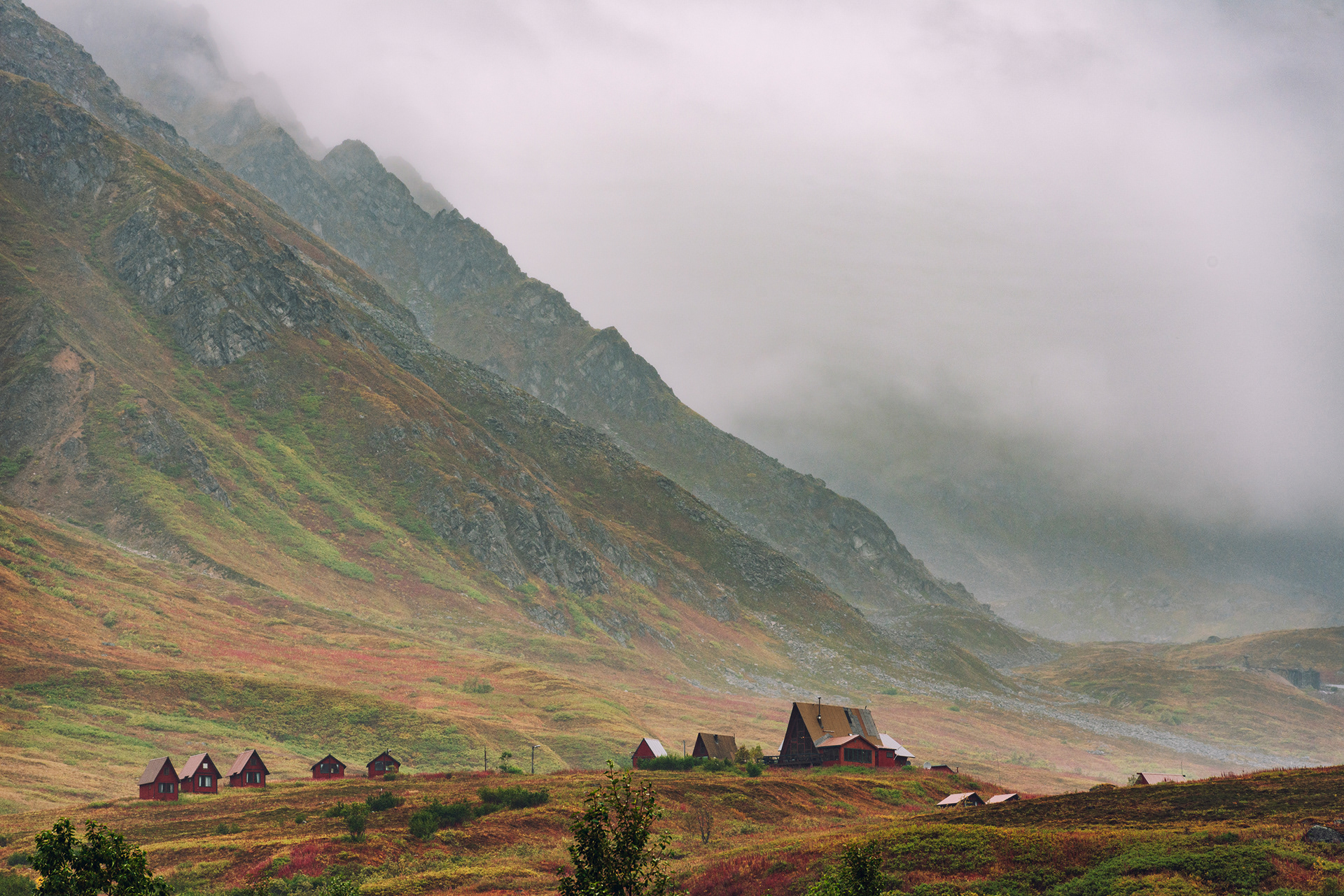
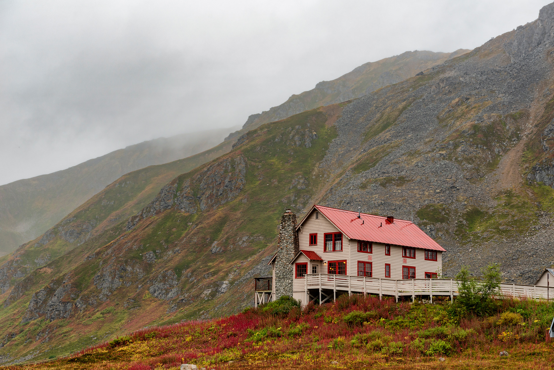
Fourteen miles north, Wiseman is everything Coldfoot isn't. It's a tiny settlement — population in the single digits — that feels like someone's pastoral fantasy of Arctic living made real: wood cabins, a clear river running behind the properties, mountains in every direction, vegetable gardens, chickens in yards. It is absurdly beautiful for something so small. We stayed at Boreal Lodge, a genuinely lovely cabin with a sleeping loft and the sound of the river at night. I'd booked it six months in advance and nearly didn't get it. If this trip is on your list, book Wiseman the day you decide to go.
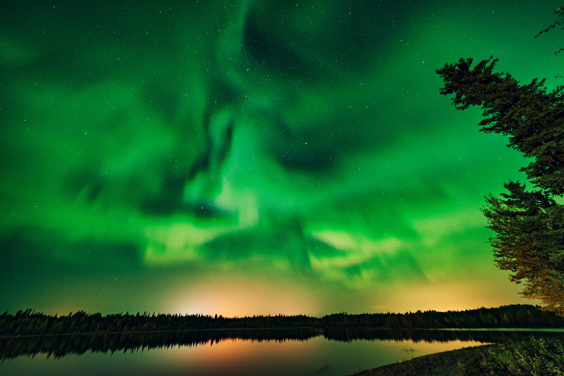
It's also one of the best aurora-viewing spots on the highway. Near-zero light pollution, and the surrounding peaks create a natural amphitheater that frames the sky in every direction. On clear nights in September the aurora can appear as early as 10 PM.
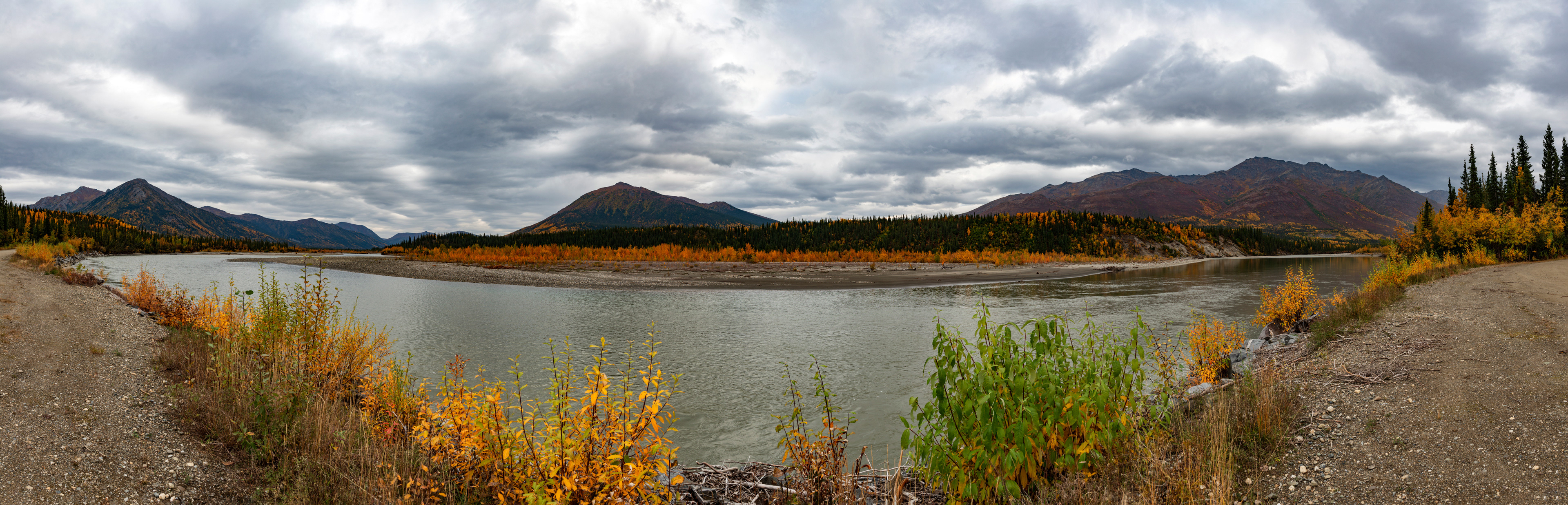


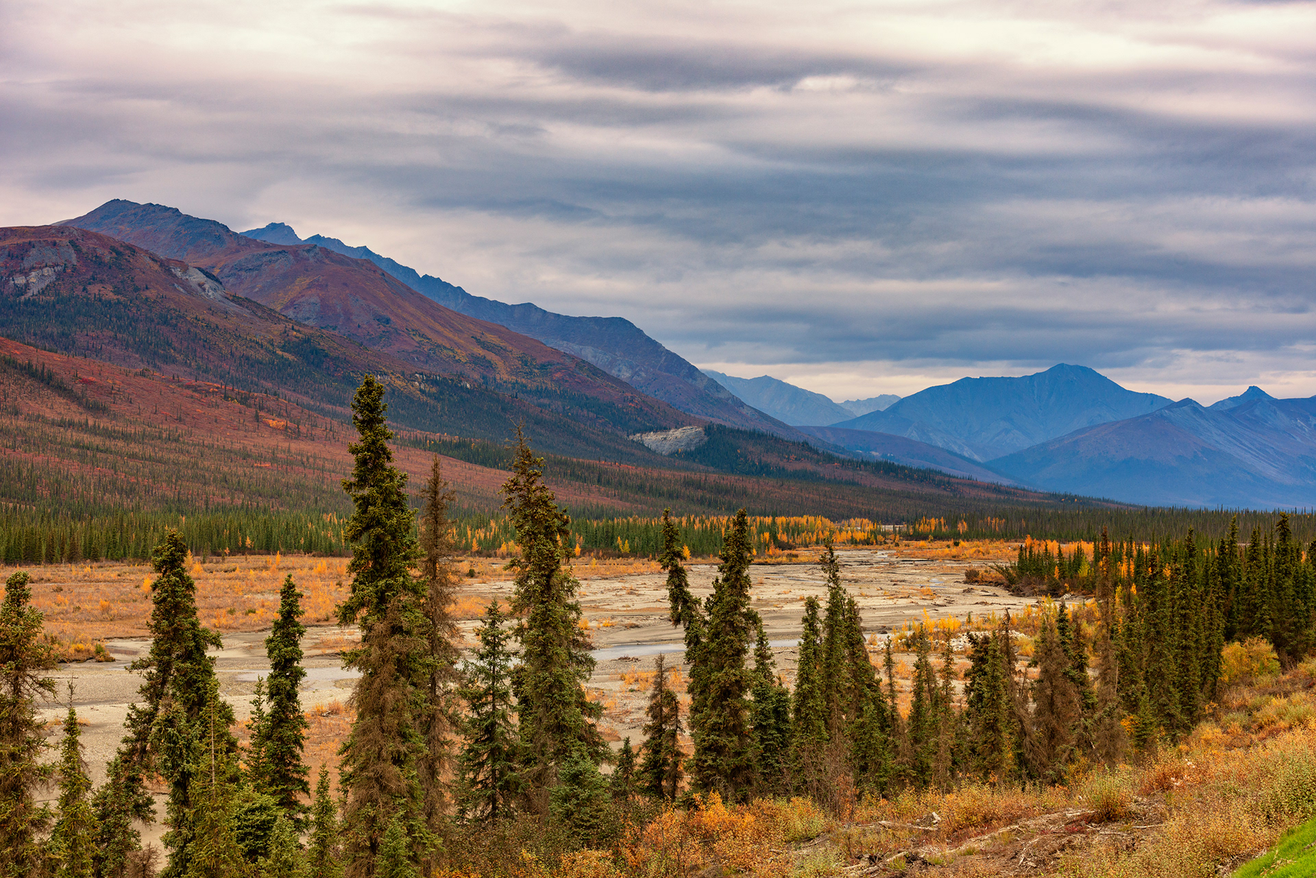
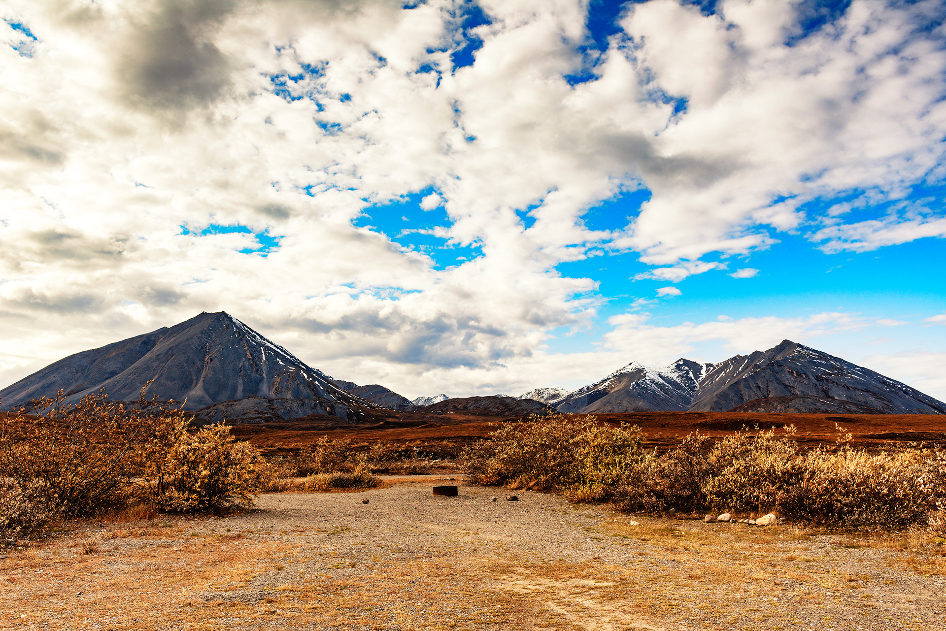
Through the Brooks Range
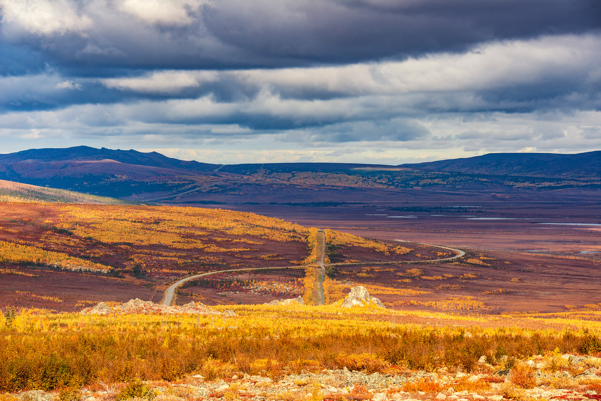
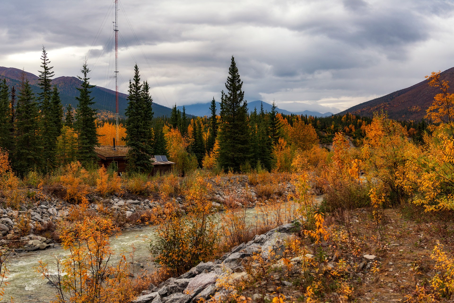
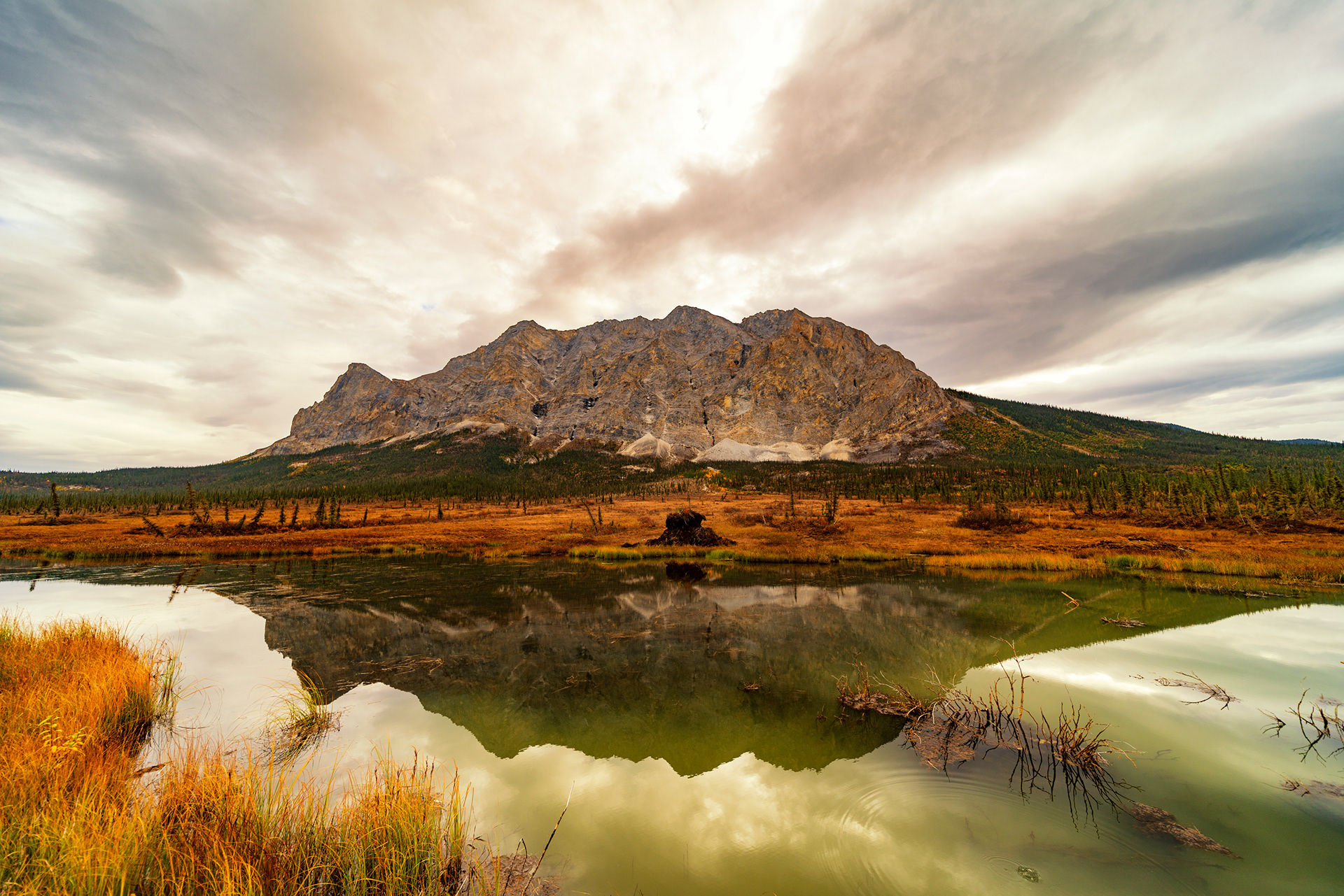
Sukakpak Mountain: Fifteen miles north of Wiseman, this pyramid-shaped peak is locally known as an "aurora magnet" — supposedly the topography creates favorable conditions for northern lights viewing. Whether that's fact or lore, the mountain is striking regardless. At its base, pingos emerge from the tundra — dome-shaped ice hills formed when subsurface water expands within permafrost, pushing the soil upward over hundreds of years. Each one is a slow-motion geological event.
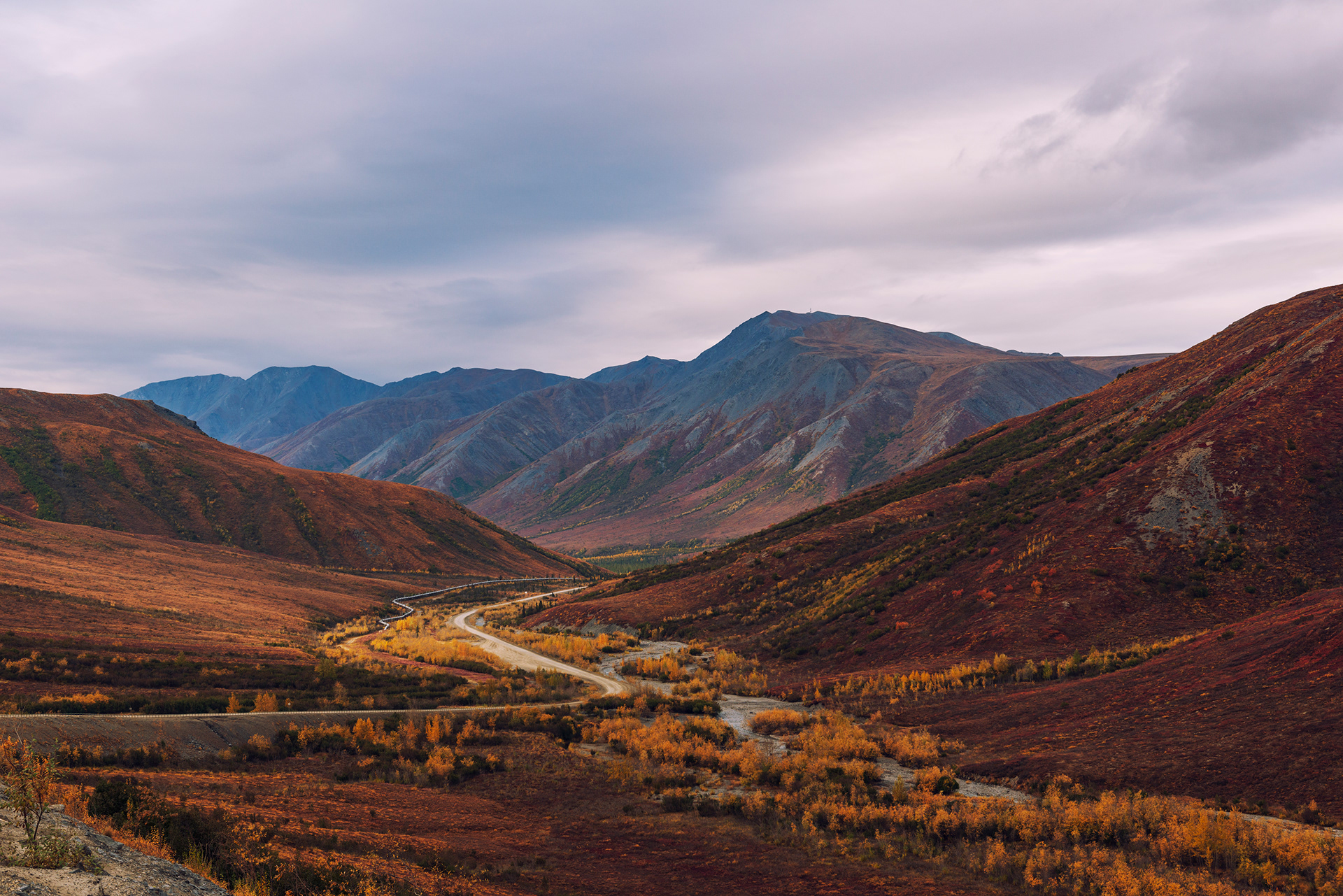
Gates of the Arctic National Park: From Sukakpak northward, the Dalton Highway runs alongside the eastern boundary of one of the most remote national parks on earth. Gates of the Arctic covers 8.5 million acres of the central Brooks Range — the second largest national park in the United States, entirely above the Arctic Circle, with no roads inside, no maintained trails, no visitor facilities, and no entrance fee. Its name comes from two peaks flanking the North Fork of the Koyukuk River: Frigid Crags and Boreal Mountain. Robert Marshall, the conservationist who explored this area on foot in 1929, named them "the gates of the Arctic" in his journals, describing them as the threshold of true northern wilderness. The park was formally established in 1980, and the name stuck.
Access is intentionally difficult. The most common way in is by bush plane from Coldfoot or the small town of Bettles to the west, landing on a gravel bar and hiking out from there. You can also simply walk in from the Dalton Highway — there's no fence, no gate, no sign announcing the park boundary. One step off the road and you're in 8.5 million acres of wilderness with no infrastructure of any kind. We watched its ridgelines from the road for miles, and that was enough to understand what Marshall meant.
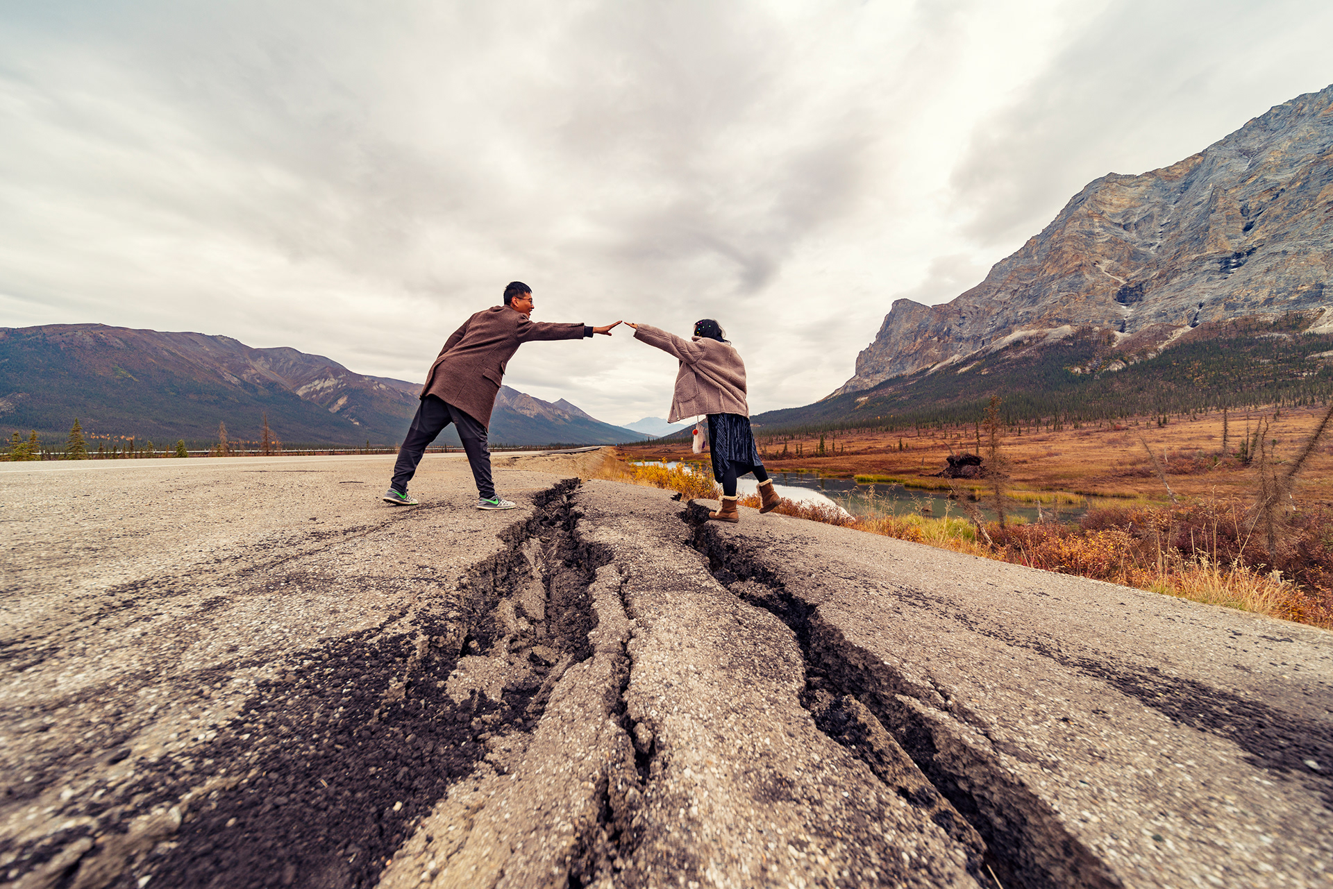
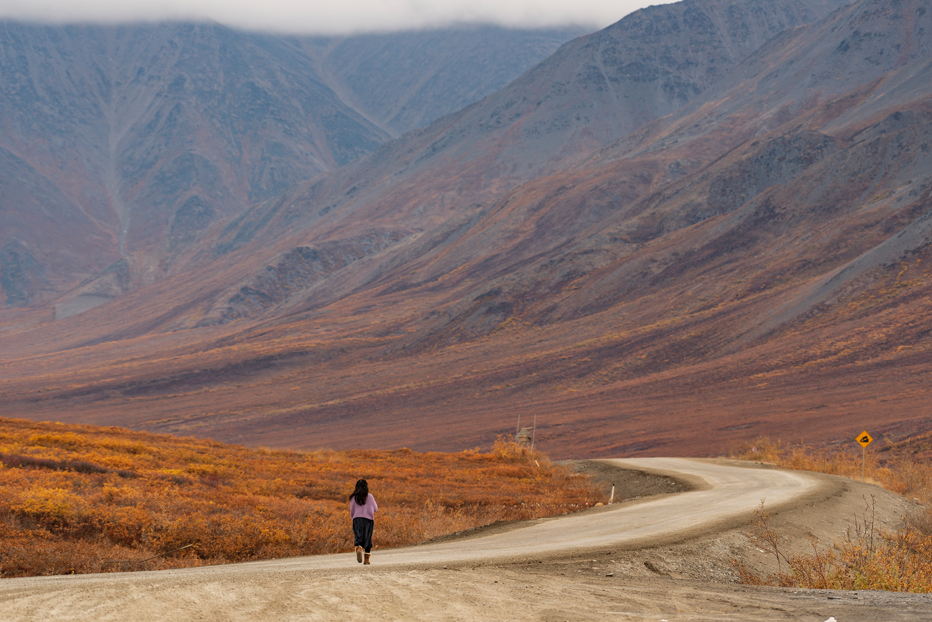
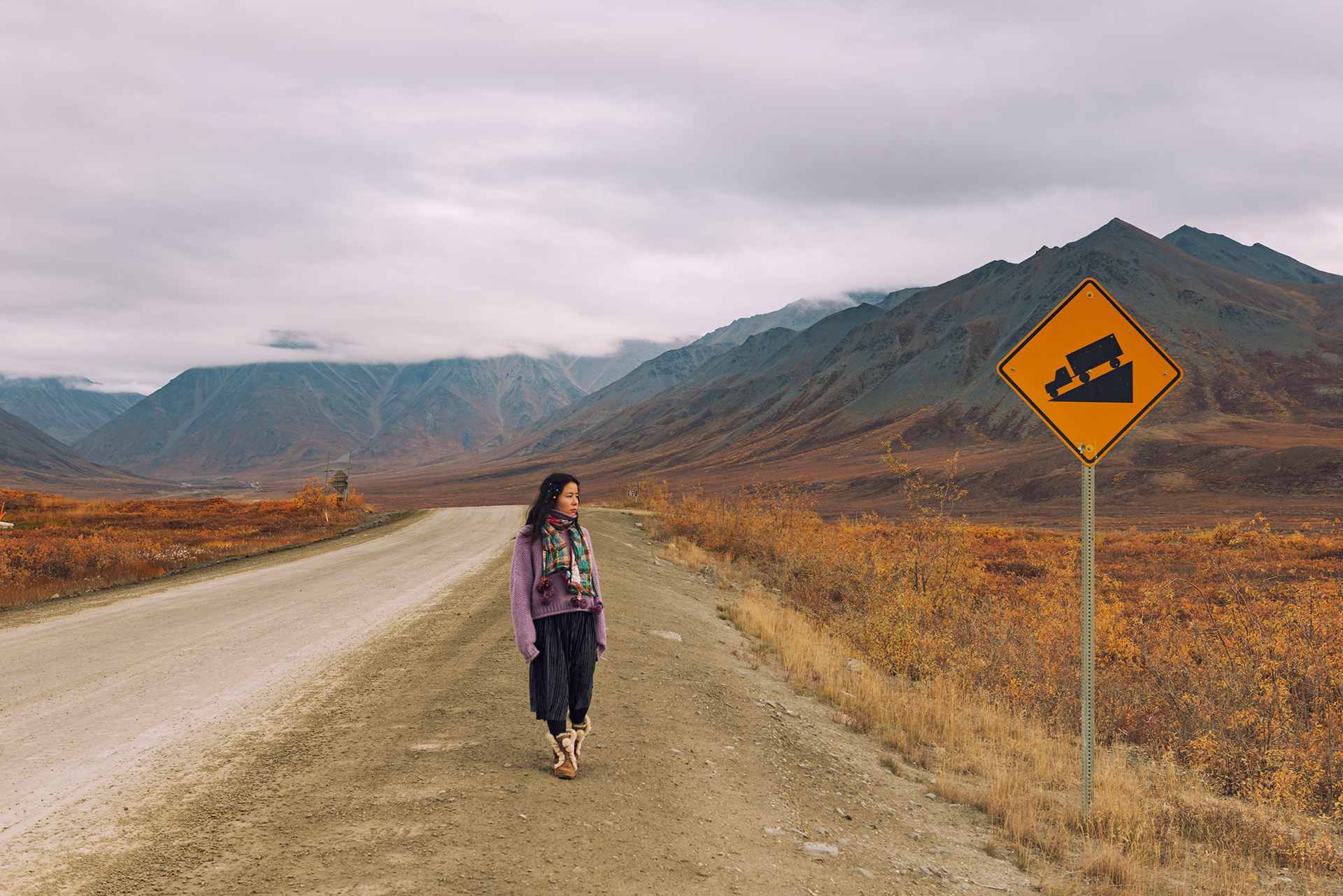
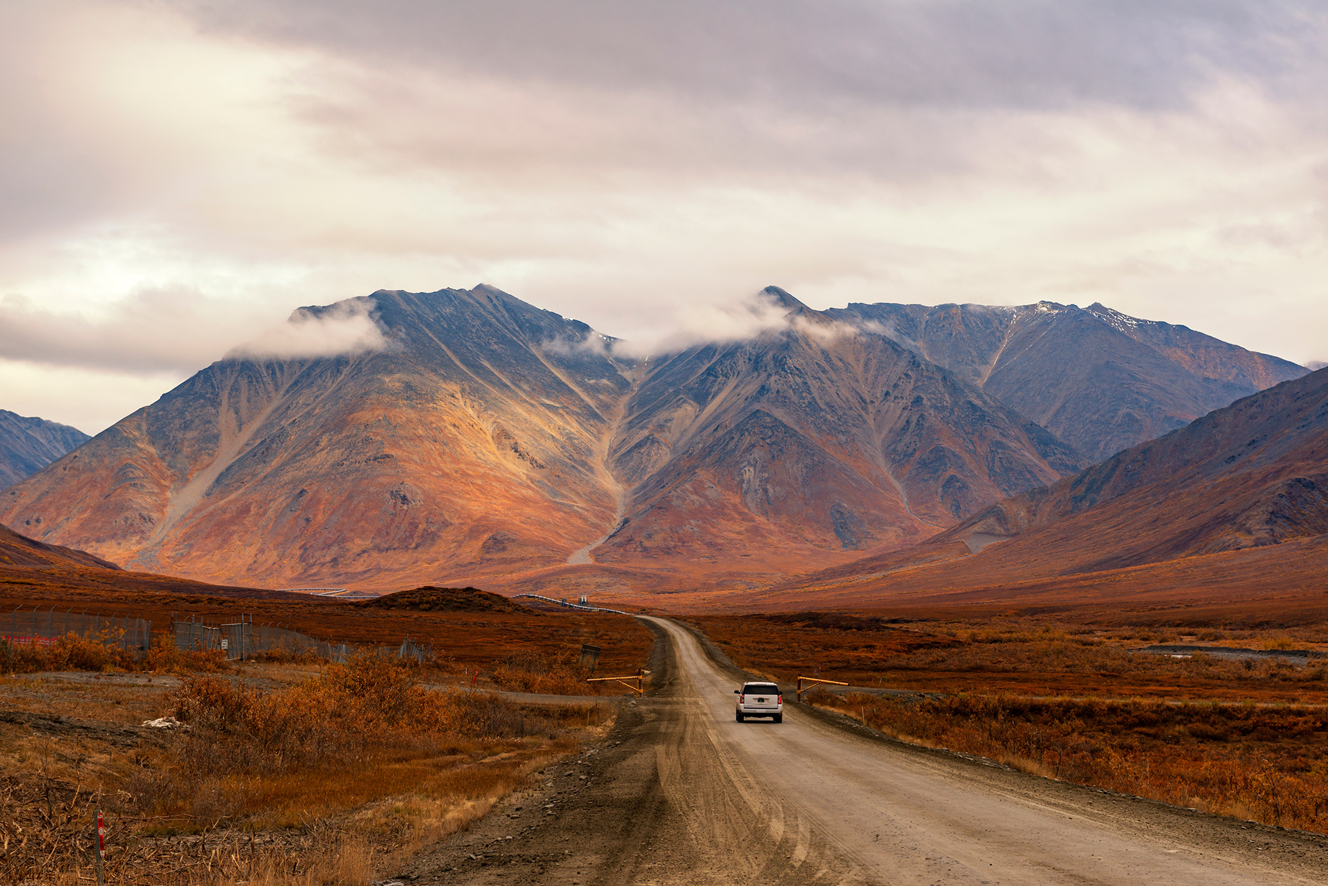
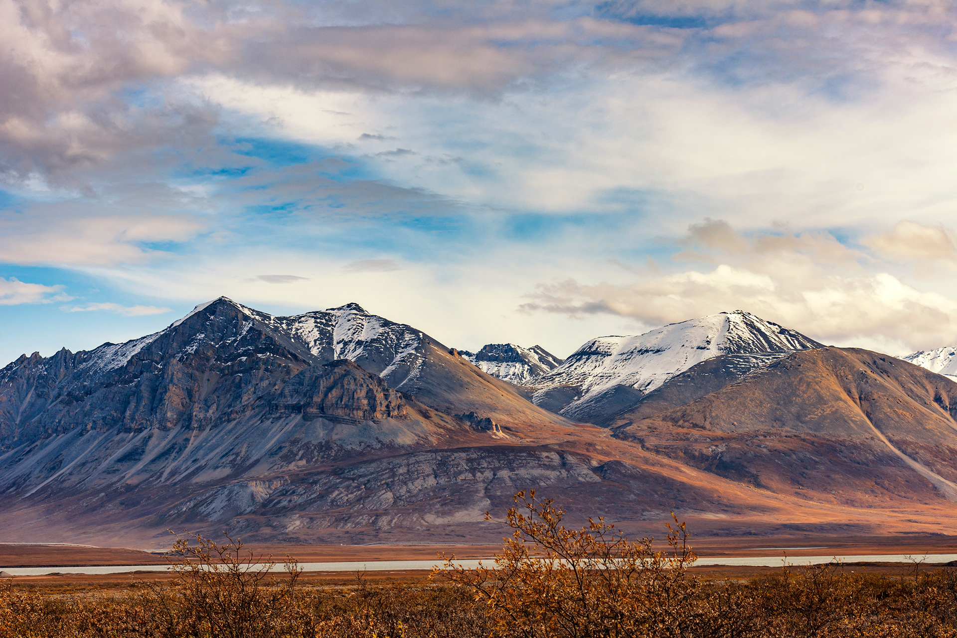
Atigun Pass: The Brooks Range is a continental divide in the most literal sense: every drop of water south of it eventually finds the Bering Sea, and every drop north drains to the Arctic Ocean. Atigun Pass, at 4,739 feet, is the crossing point — the highest elevation on Alaska's road system and a place that can receive snow in any month of the year. When we came through in early September, clouds were stacked against the peaks like wool against glass. The road through the pass is steep, narrow, and spectacular.
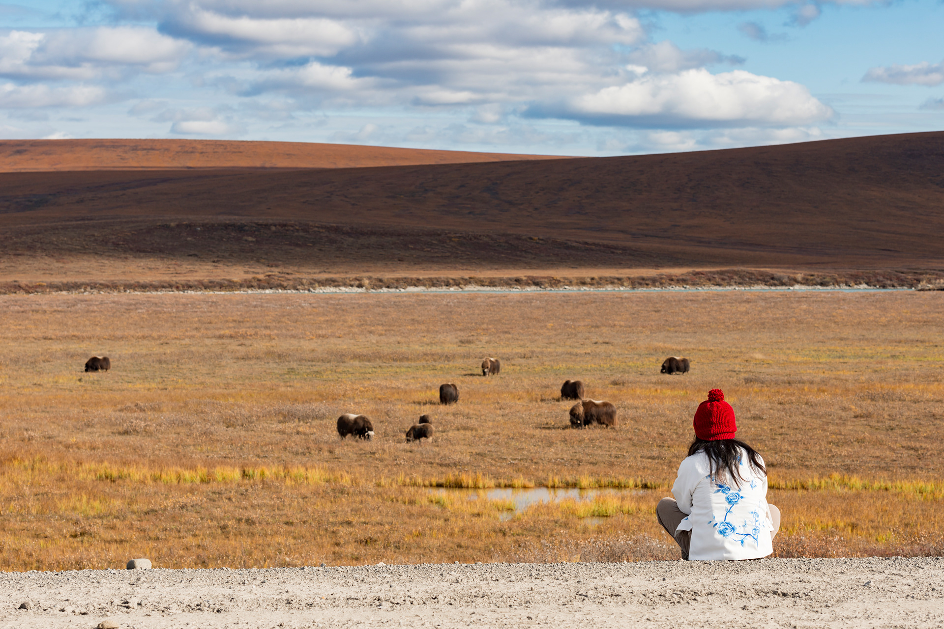
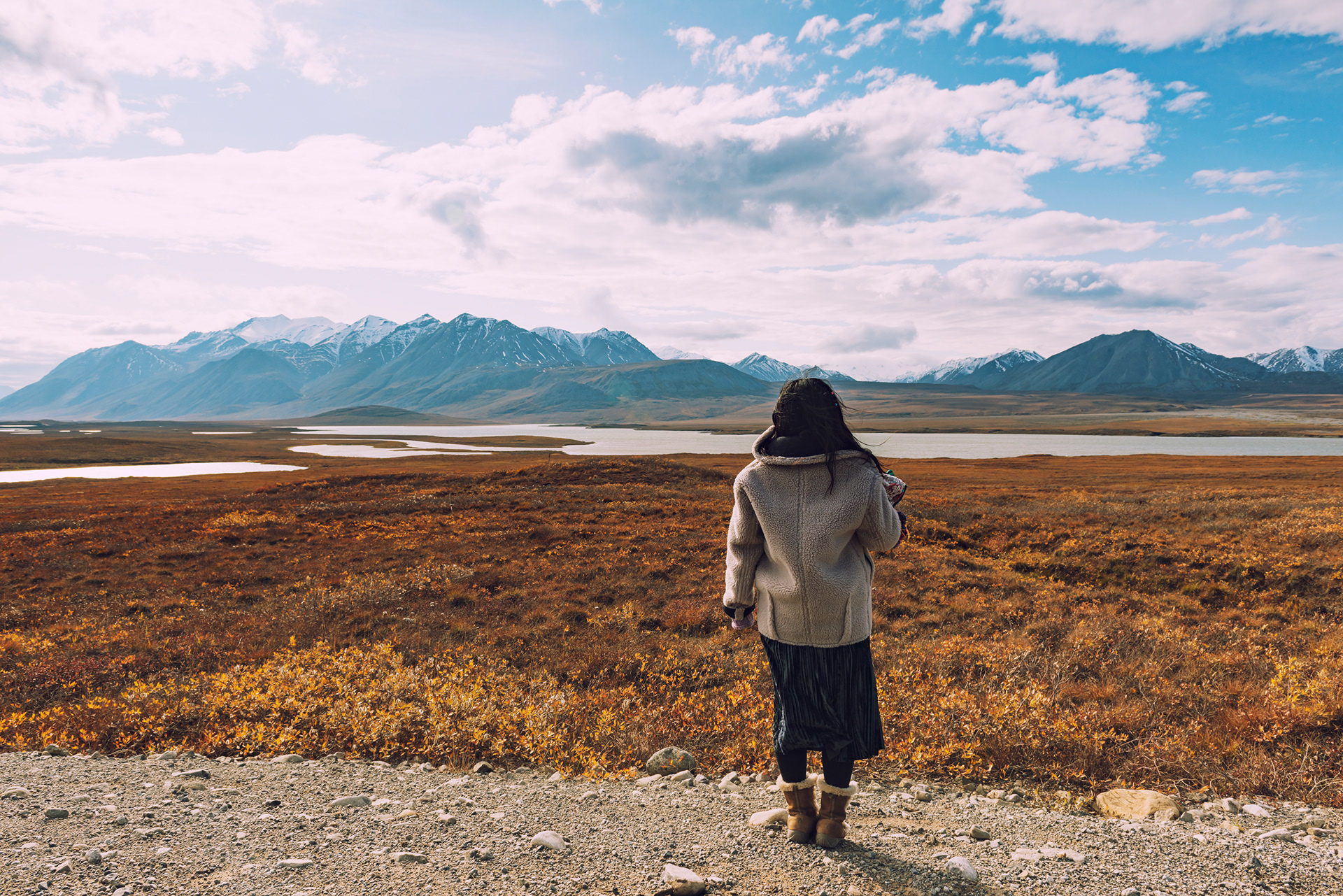
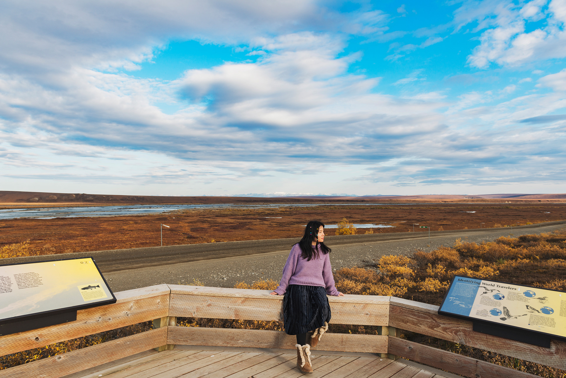
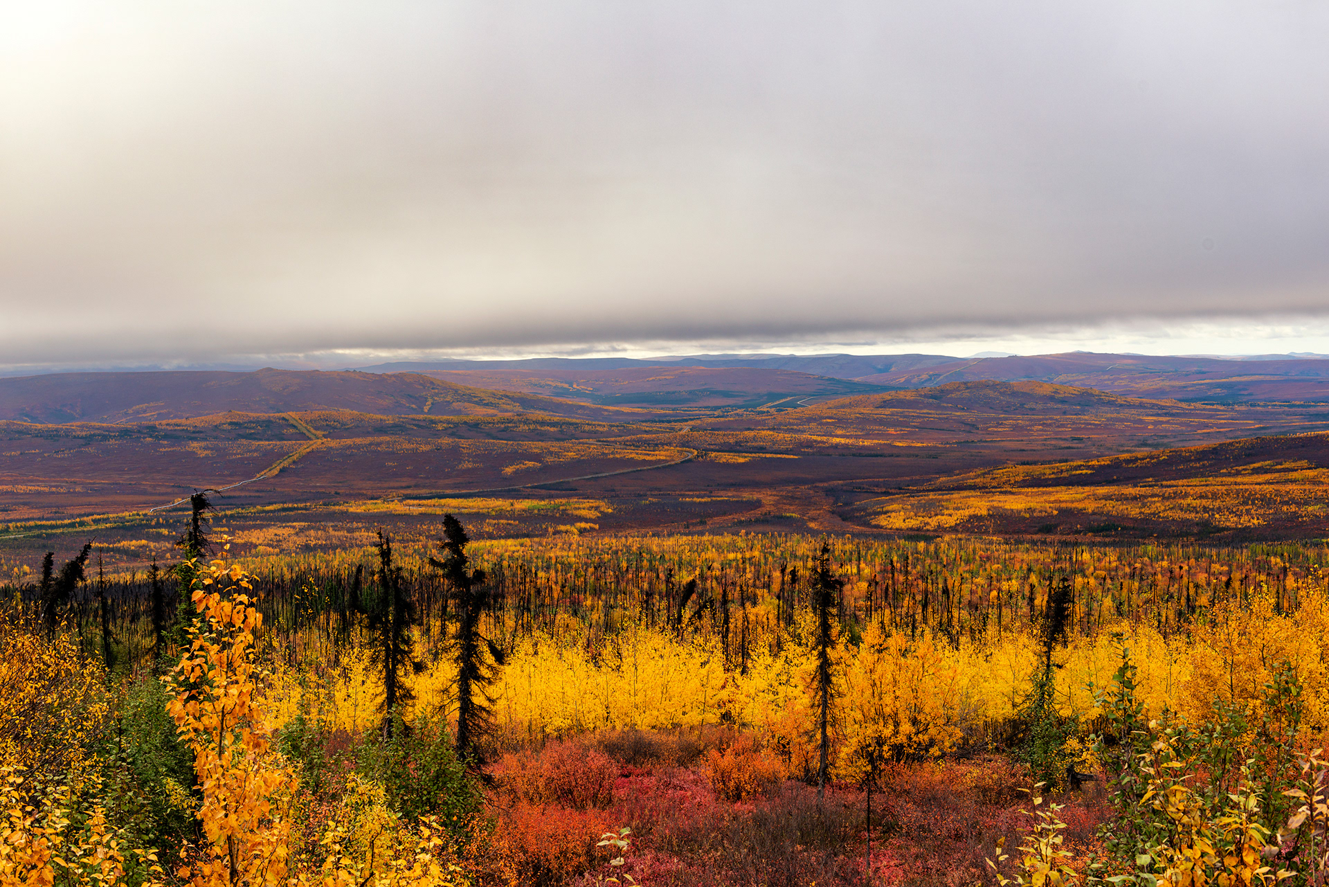
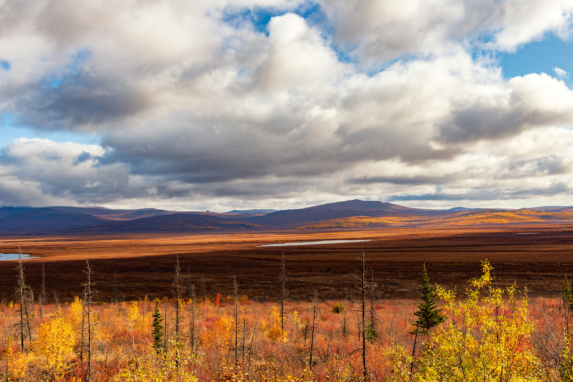
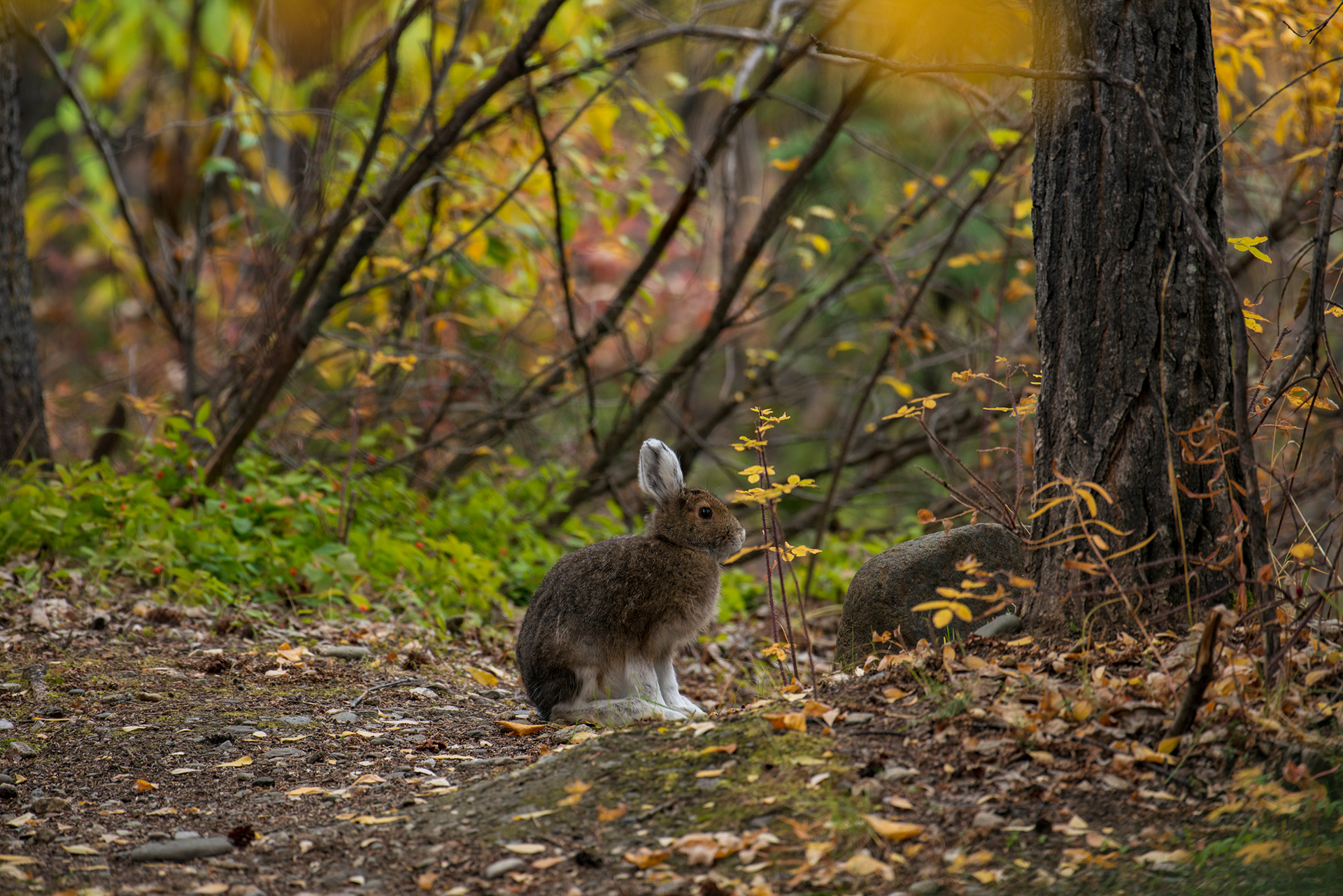
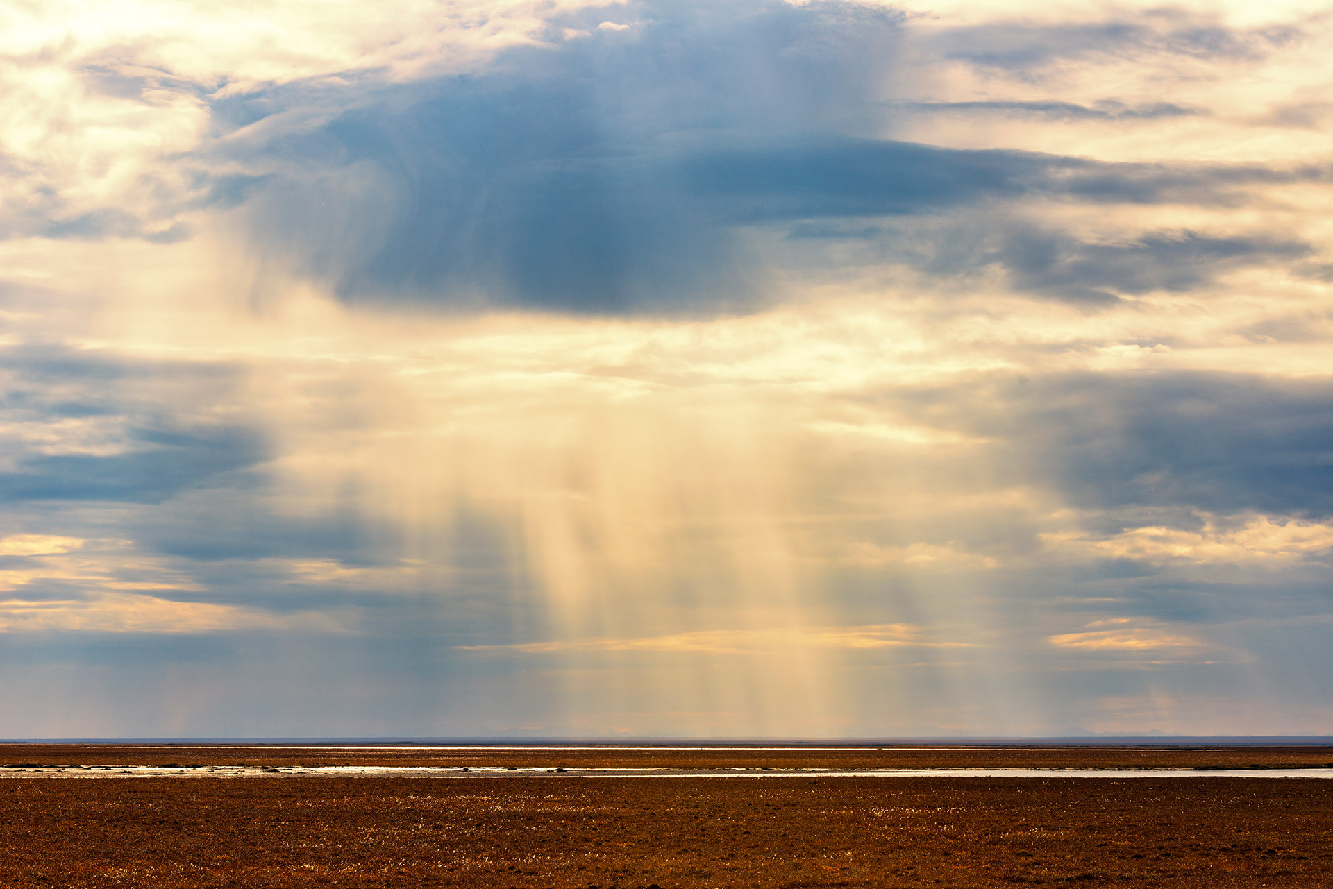
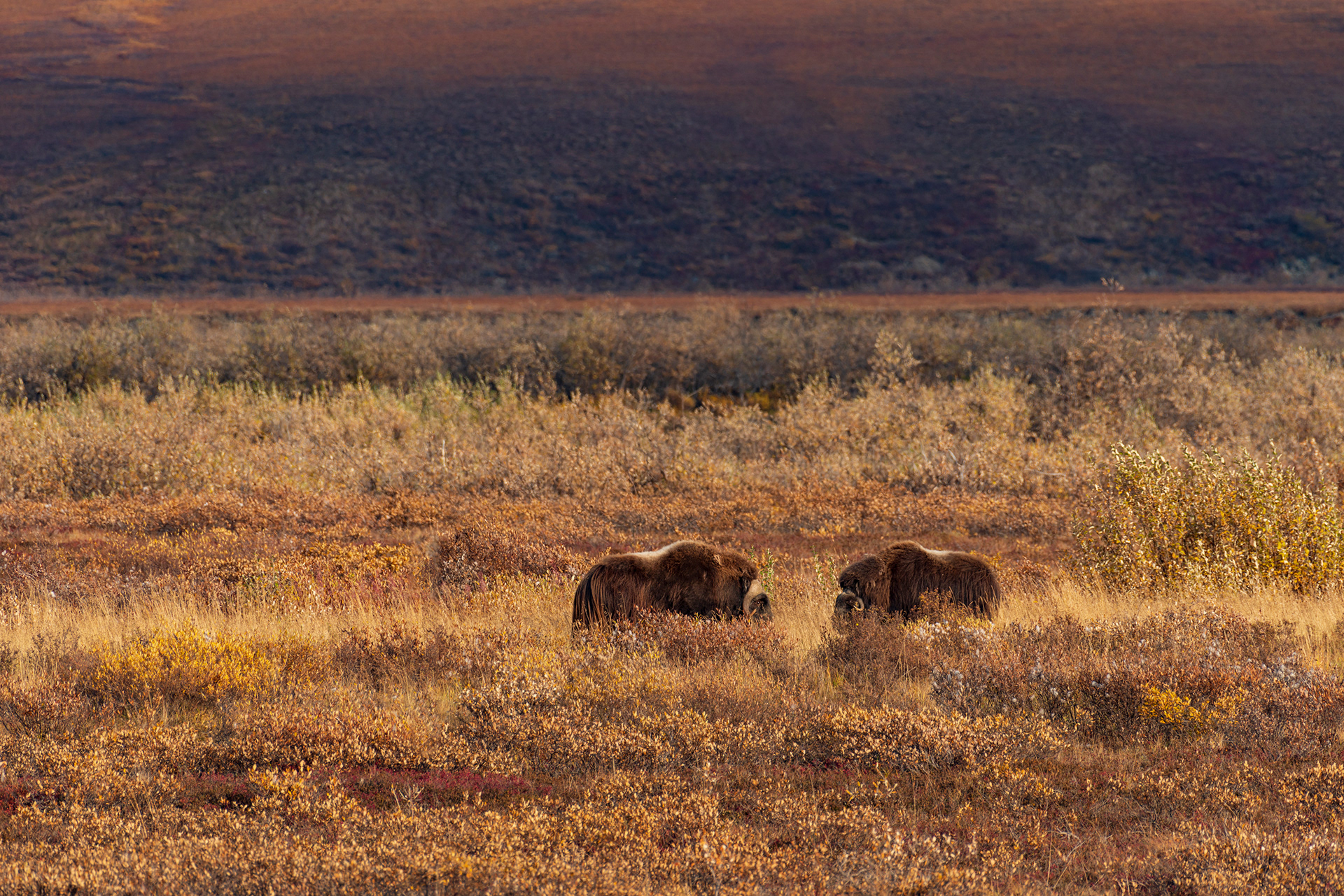
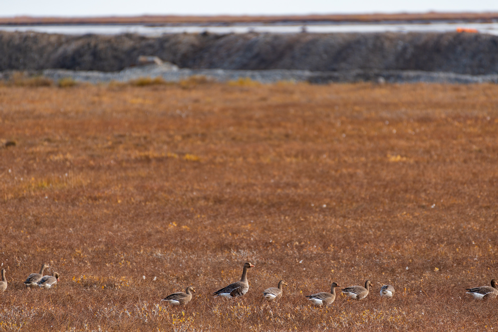
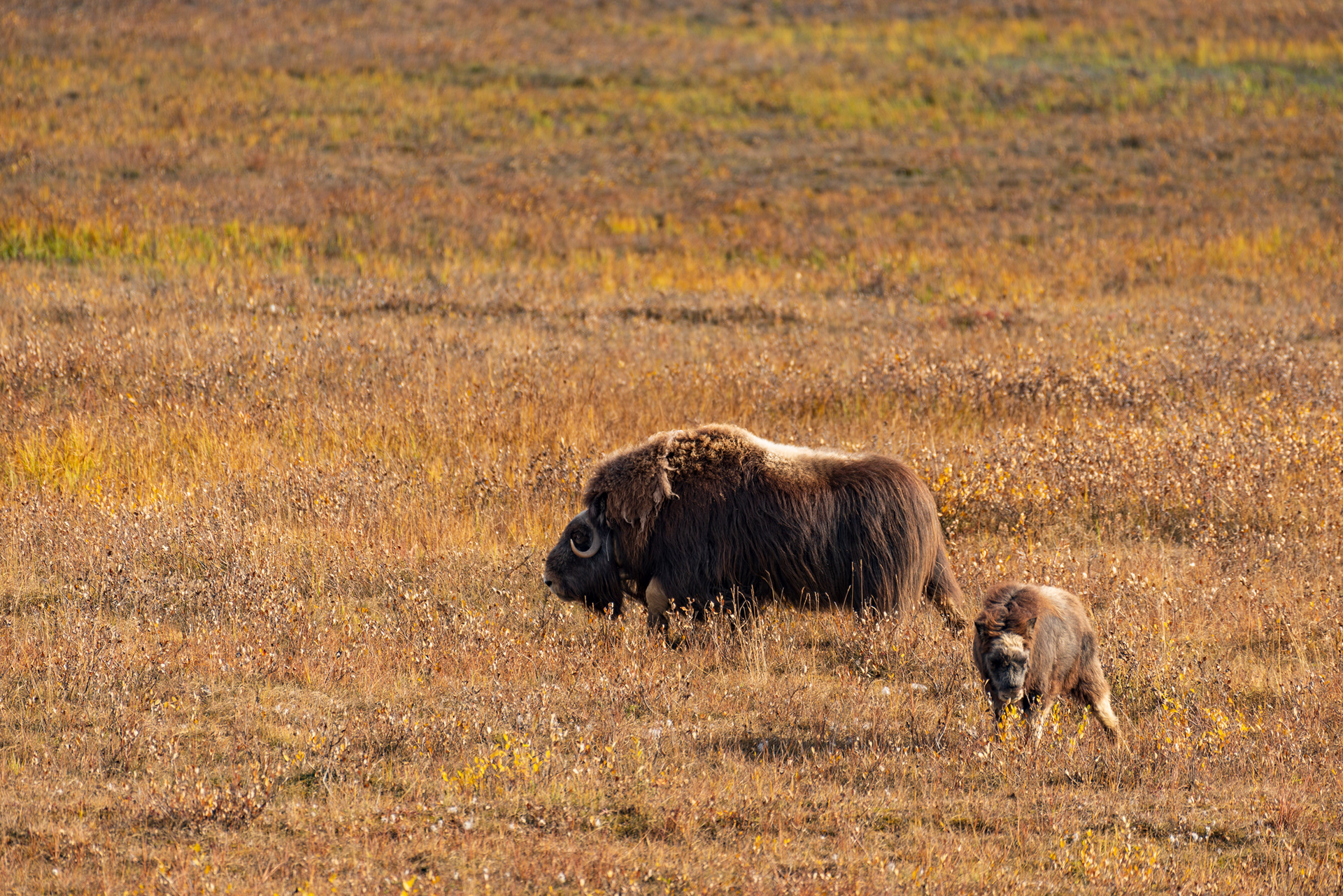
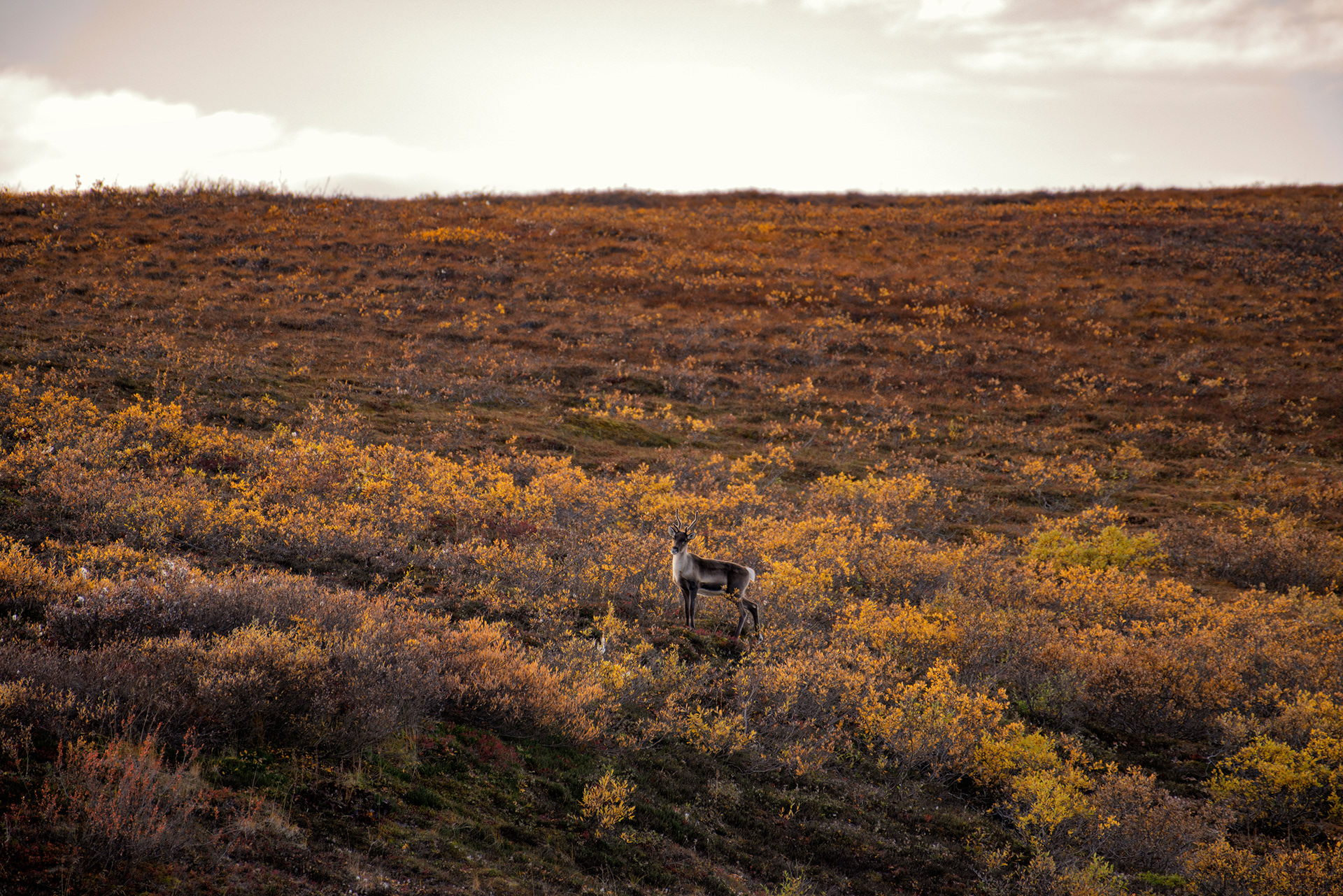
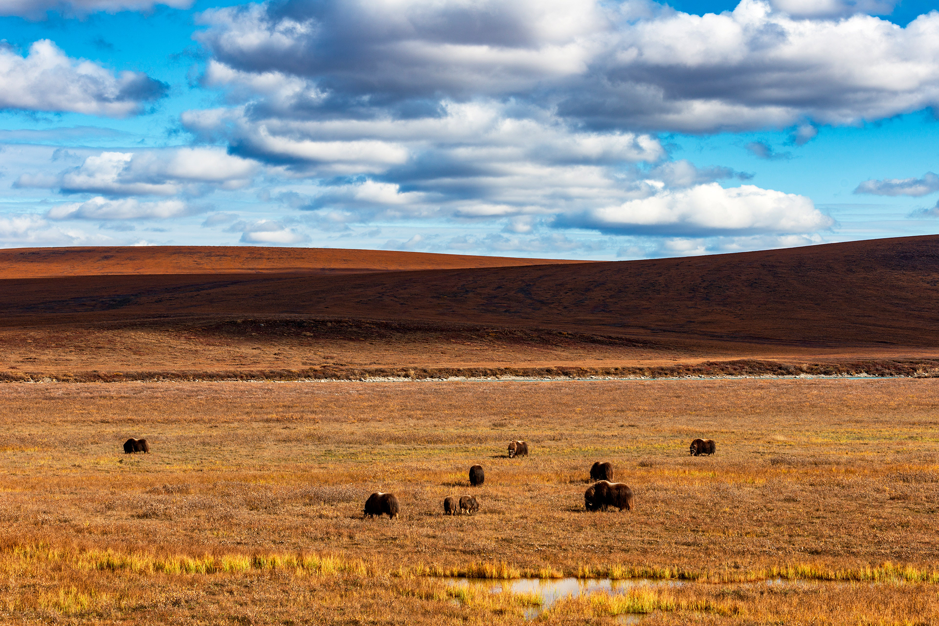
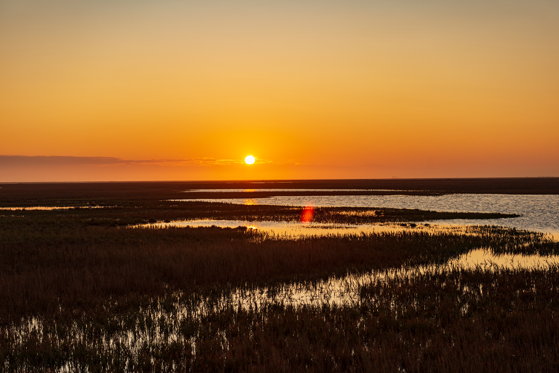
The North Slope: Once you descend from the Brooks Range, the landscape transforms completely and irreversibly. The trees disappear. The mountains recede. What opens ahead is the North Slope — a vast, flat tundra studded with lakes, crossed by caribou migration routes, and inhabited by muskox, Dall sheep, and grizzly bears. We watched a herd of muskox move across the plain, their shaggy silhouettes prehistoric against the pale sky. A line of caribou crossed the road directly in front of us, threading under the elevated pipeline as if they'd done it a thousand times — because they have.
Franklin Bluffs: Iron-rich cliffs that glow rust and amber in slanted Arctic light. Named for Sir John Franklin, the 19th-century British Arctic explorer whose doomed expedition in search of the Northwest Passage remains one of exploration history's great tragedies. Standing here at latitude 69°N, with the tundra stretching to every horizon, it's easier to understand what compelled those men north in the first place.
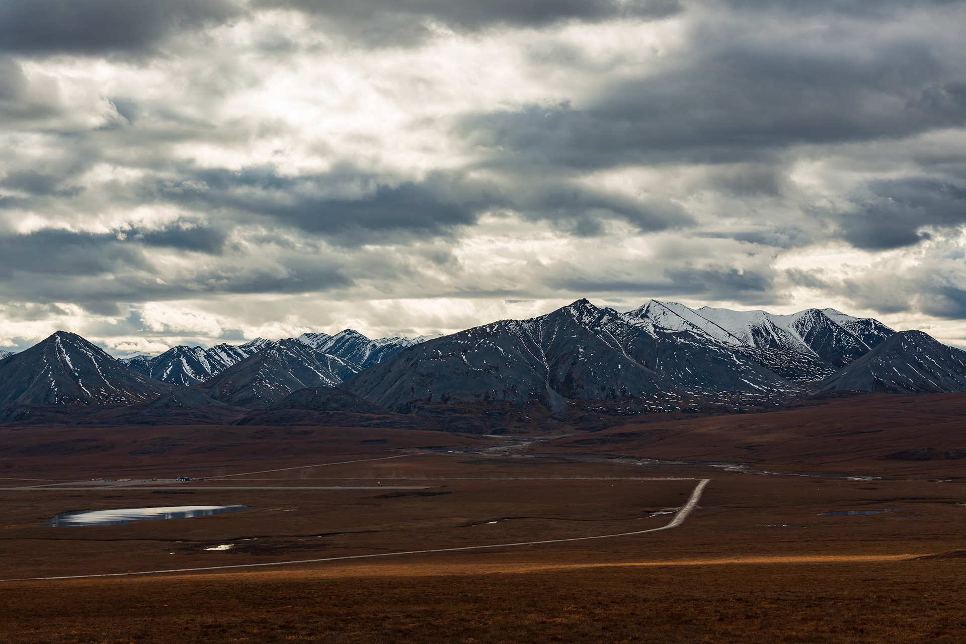
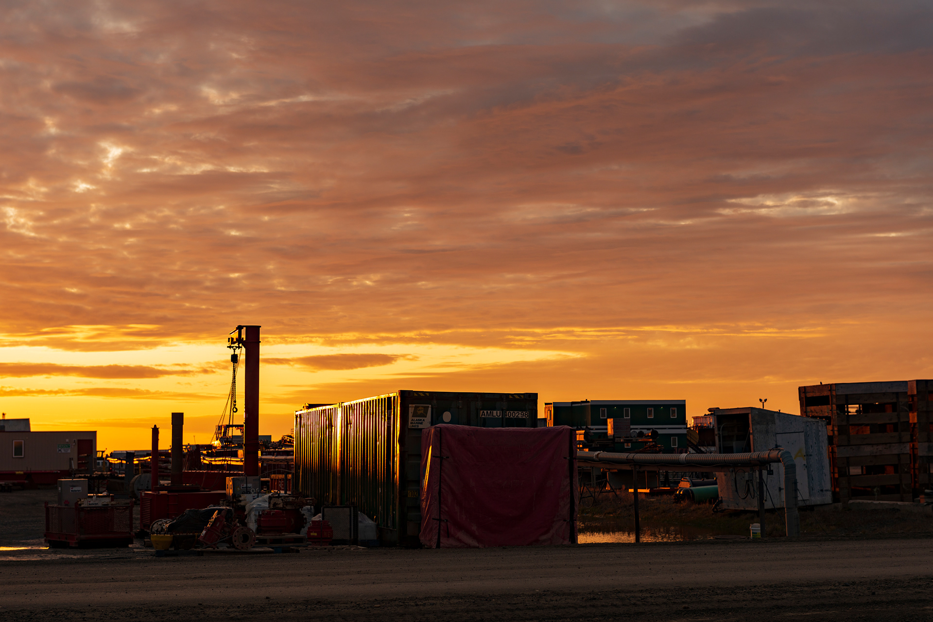
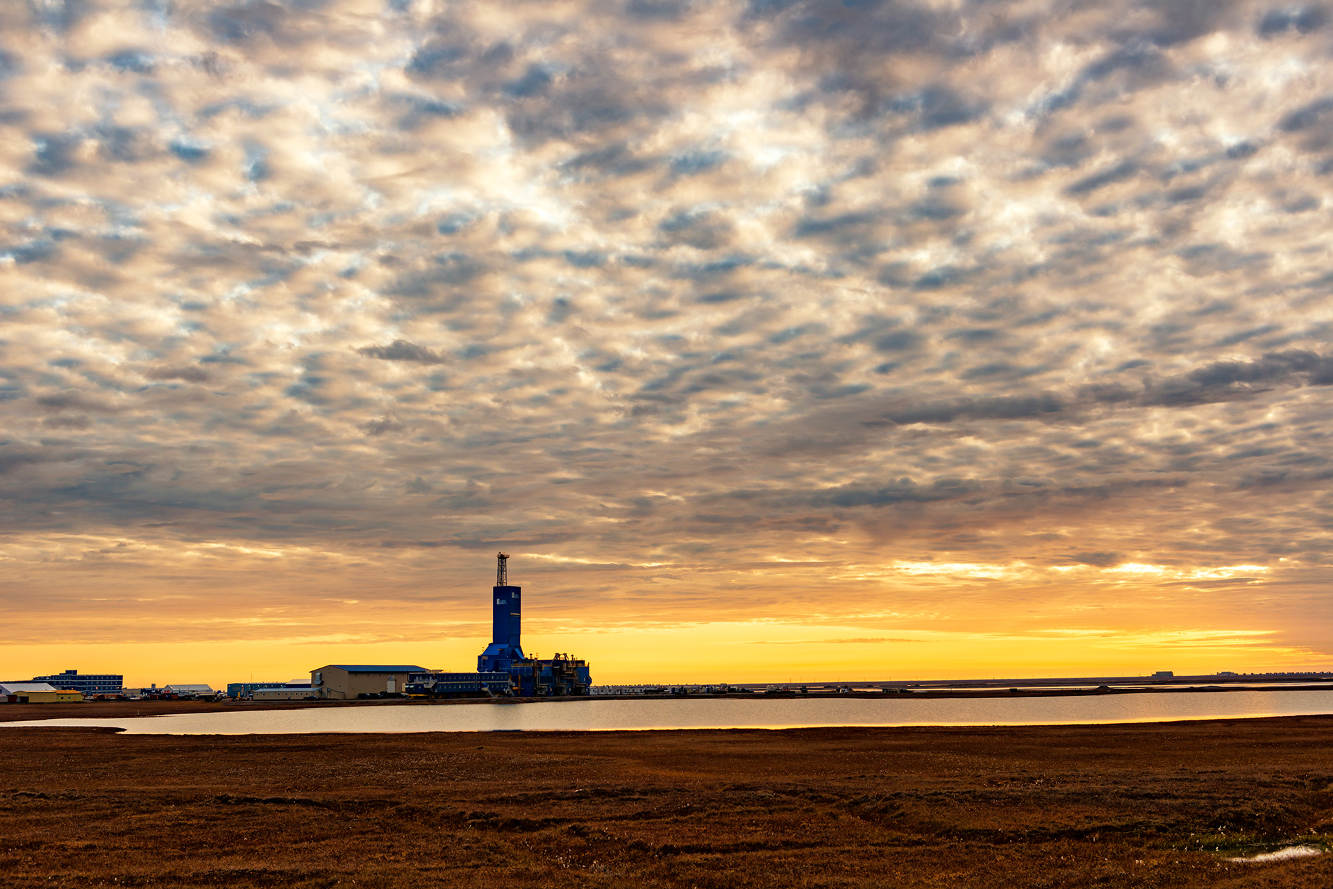
Deadhorse / Prudhoe Bay
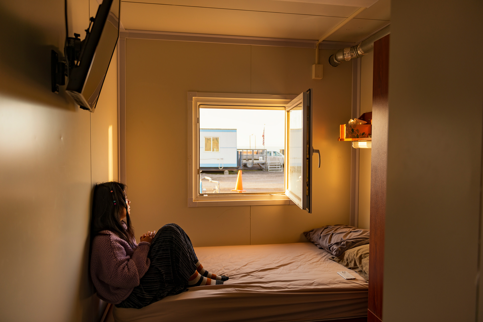
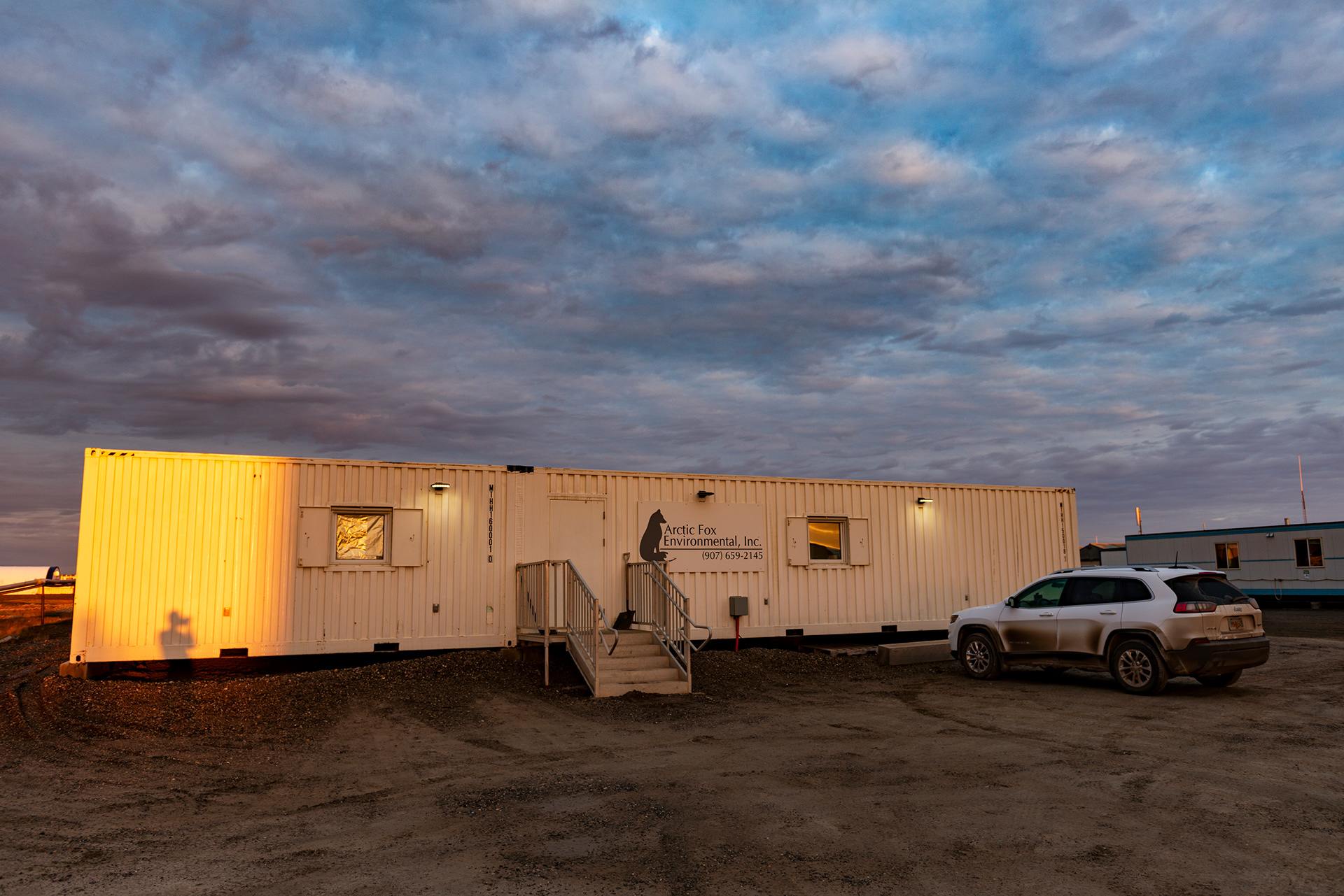
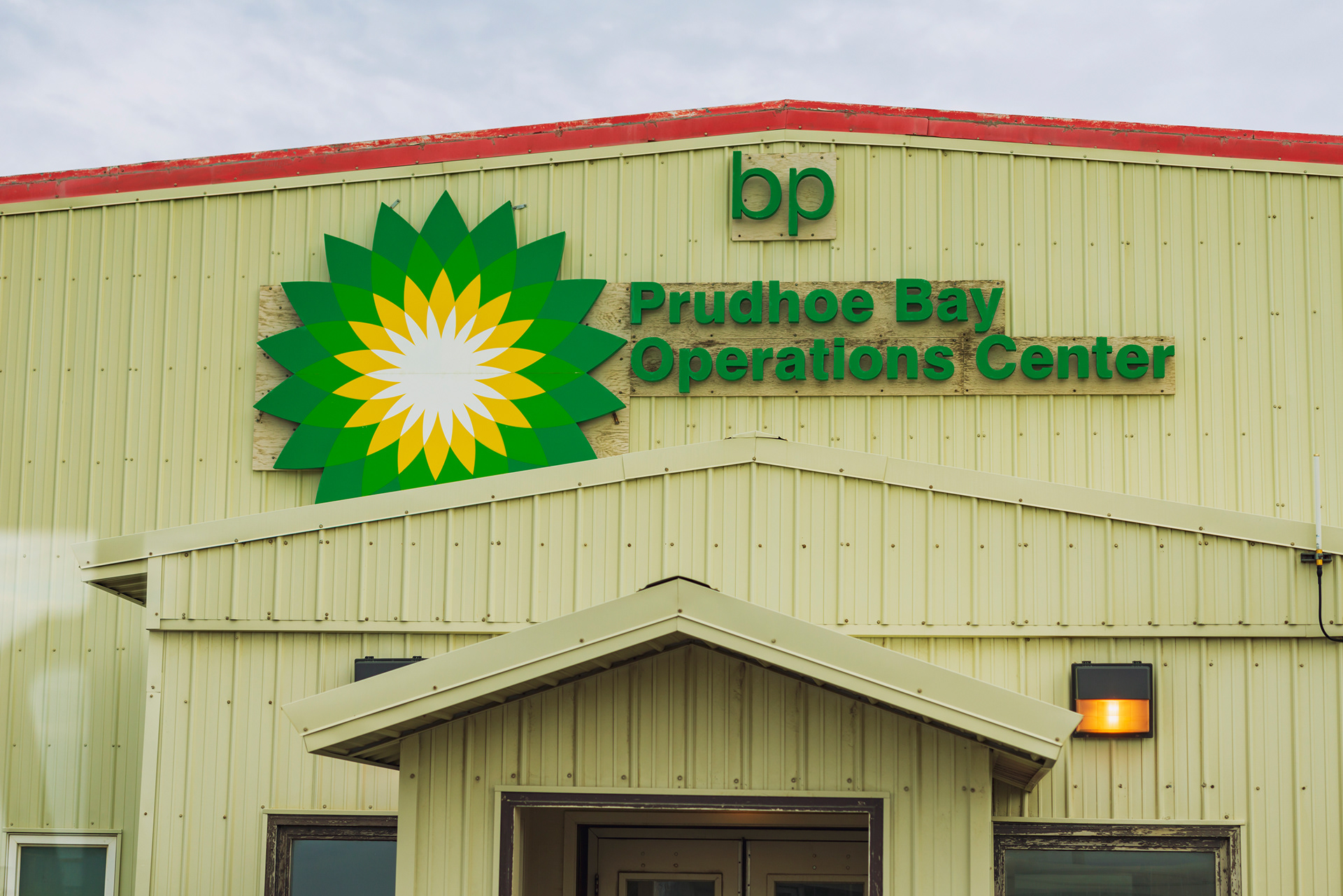
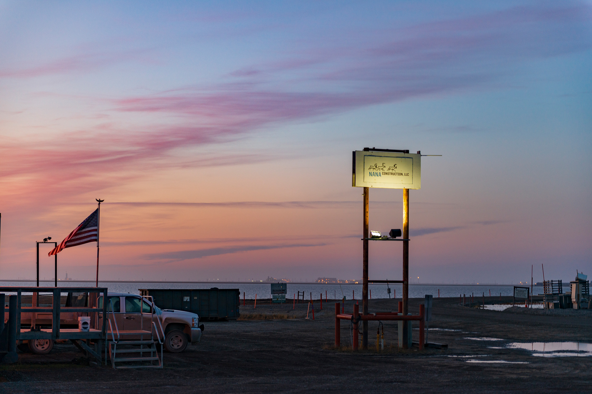
Deadhorse is not a place you visit for its beauty. It is an oil field town at latitude 70°N — the northernmost community in the United States accessible by road. The infrastructure is industrial: container-box buildings, pipe yards, heavy equipment grinding through mud-slick roads, the constant rumble of machinery. BP has its regional headquarters here. The air smells of petroleum.
We arrived in the late afternoon after two solid days of driving. Our accommodation was an Airbnb where we shared a twin bed in what was essentially a shipping container — by far the most unusual night of the trip.
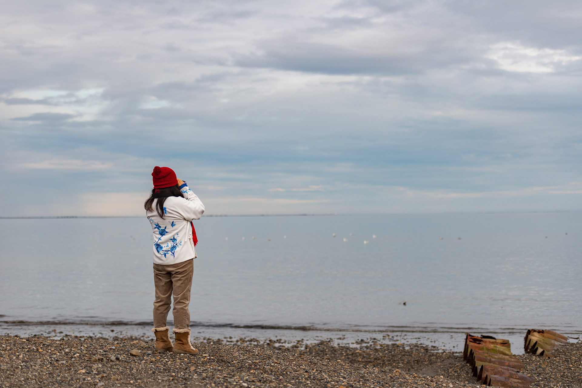
But Deadhorse isn't the point. The Arctic Ocean is.
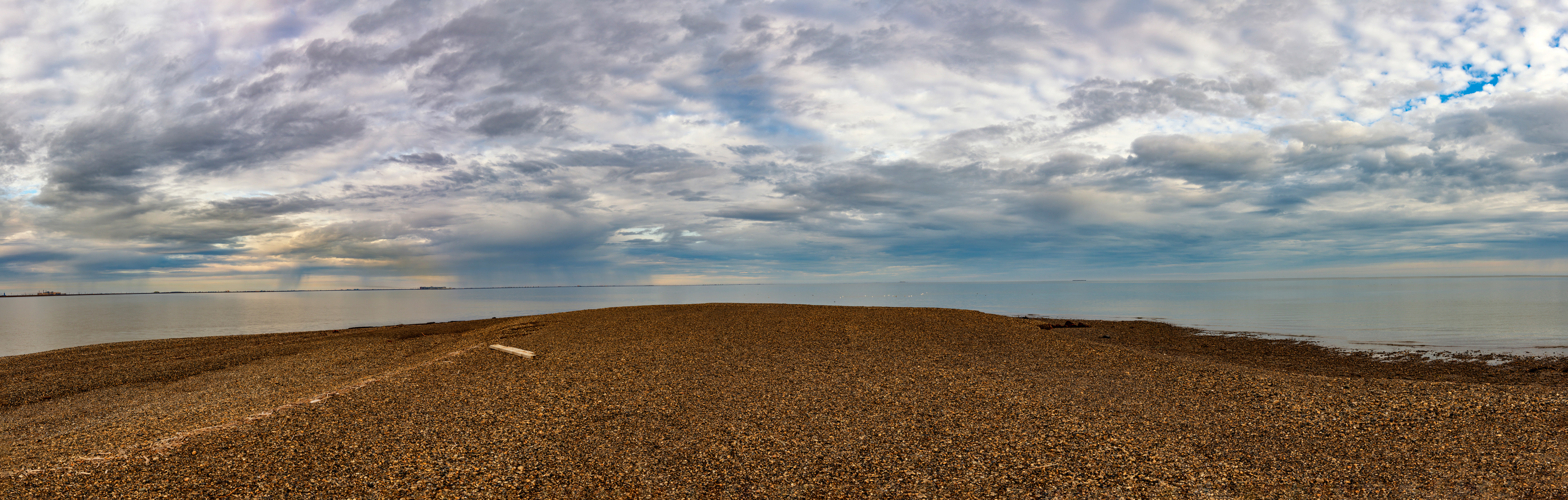
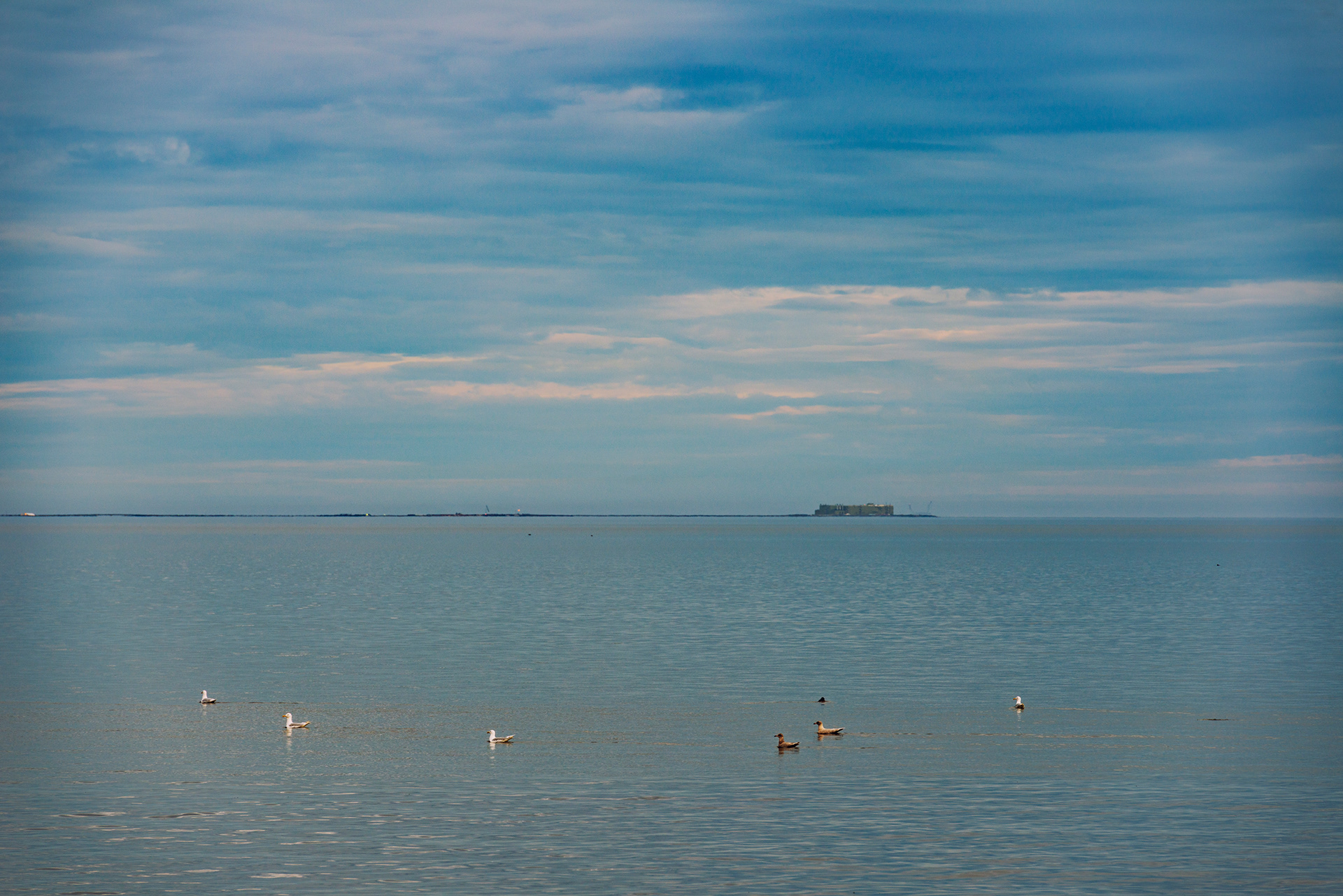
Arctic Ocean Tour: The oil fields between Deadhorse and the coast are restricted territory. The only way to reach the water is via a guided Arctic Ocean Tour run out of Deadhorse Camp, which takes you through the active oil field (complete with a history briefing from a driver-guide who's clearly done this a thousand times) and delivers you to the coast of the Beaufort Sea.
The Arctic Ocean in September is iron-gray and cold in ways that go beyond temperature — it has the quality of a boundary, an edge of the world. It's open only from July through September; the other eight months it's locked under pack ice. A few people each year actually swim in it. We were not among them.
We stood on the shore at 70°N and let it register that we had driven here from Anchorage. Every mile of tundra, every mountain pass, every refueling stop had led to this moment of standing at the top of a continent with nothing between us and the North Pole but open sea.

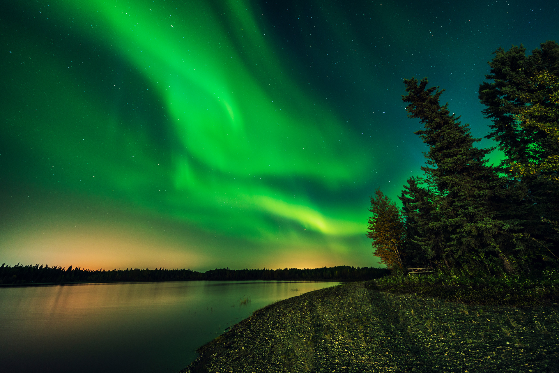
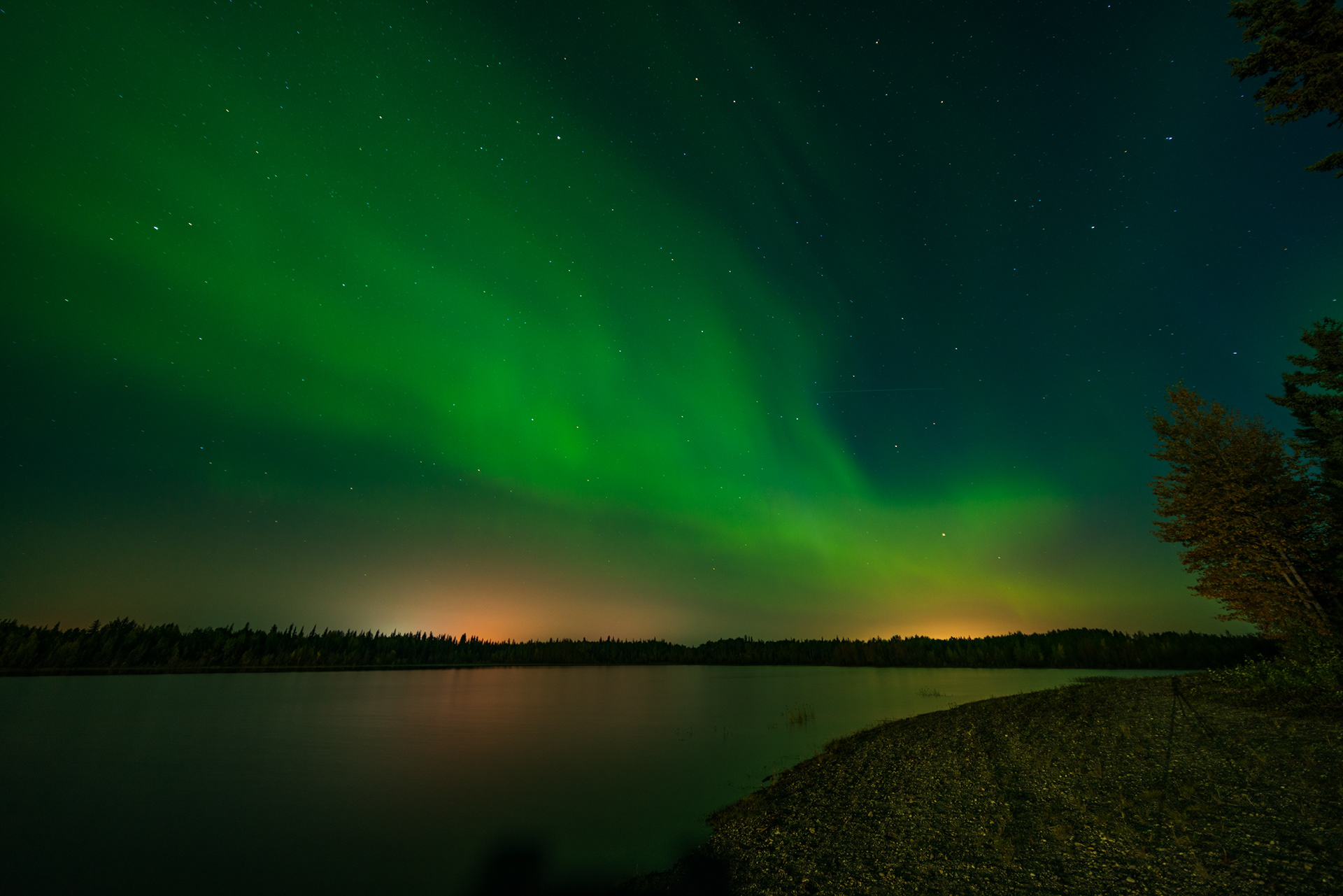
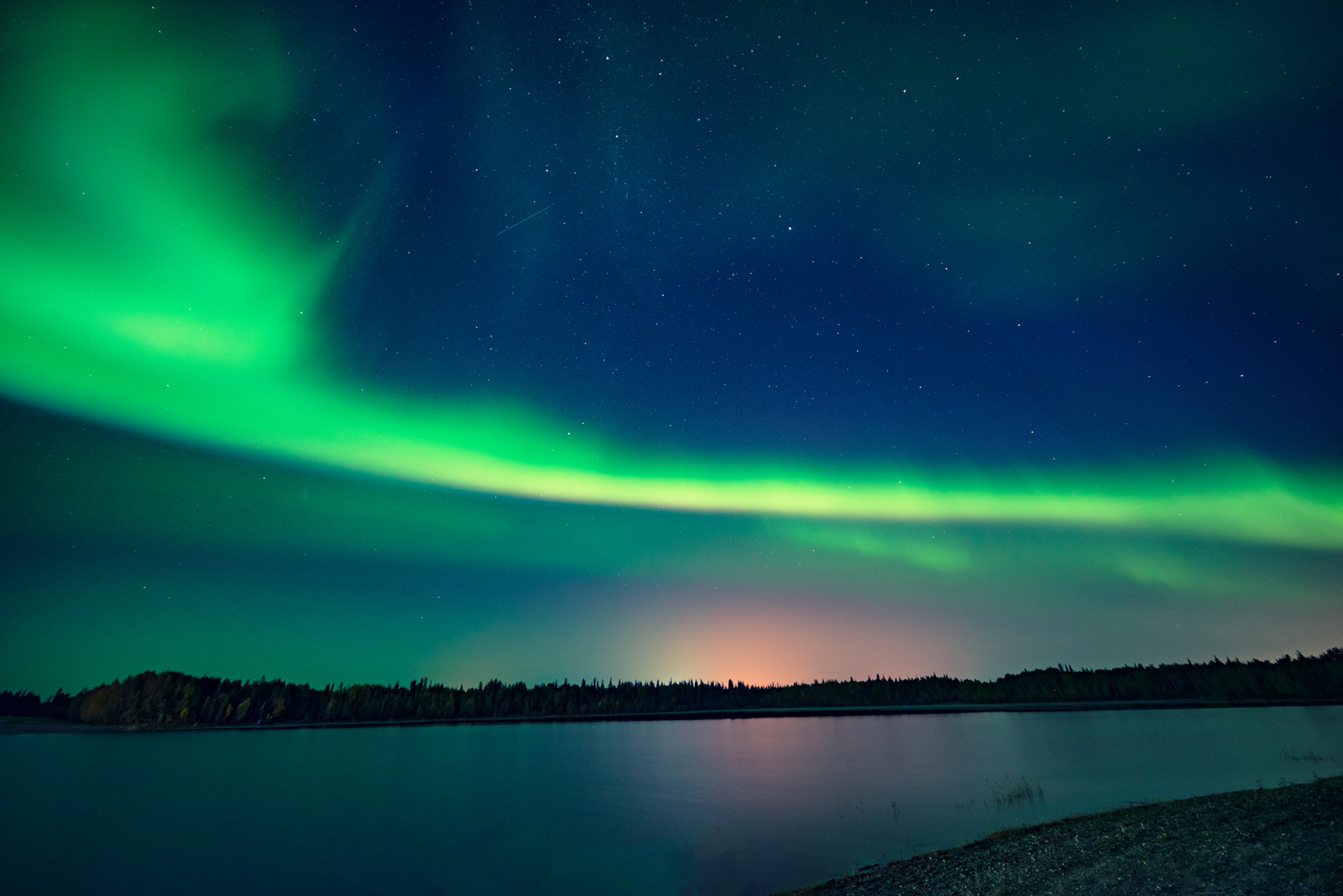
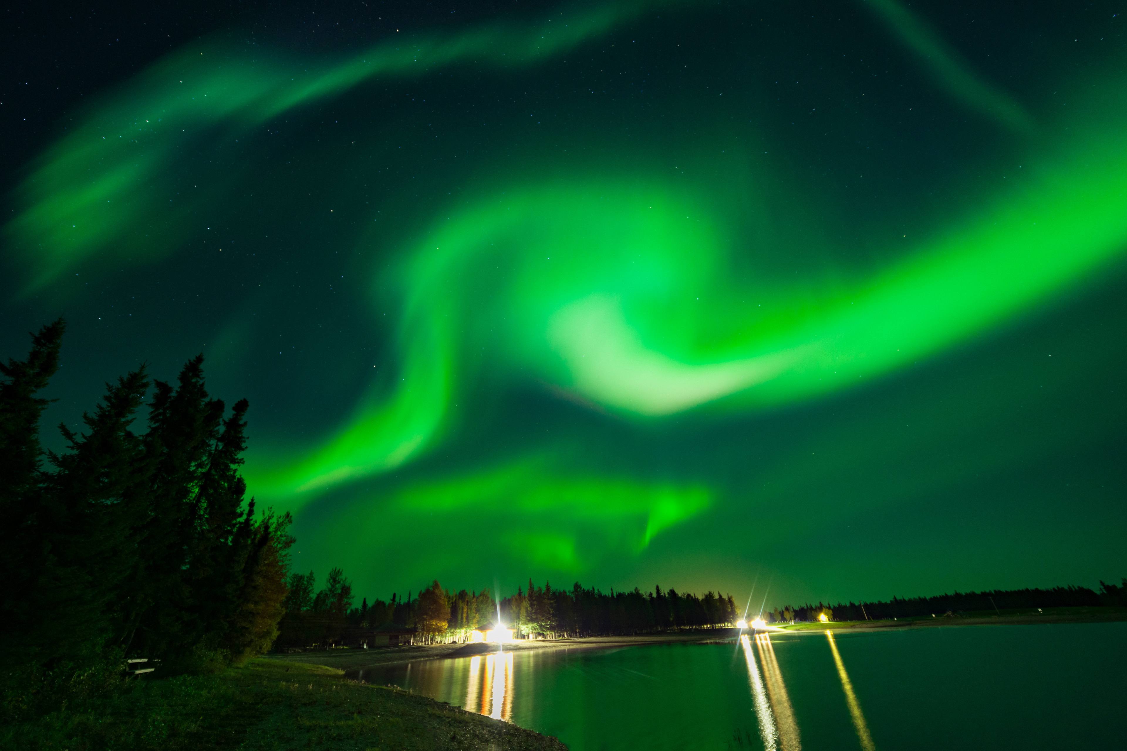
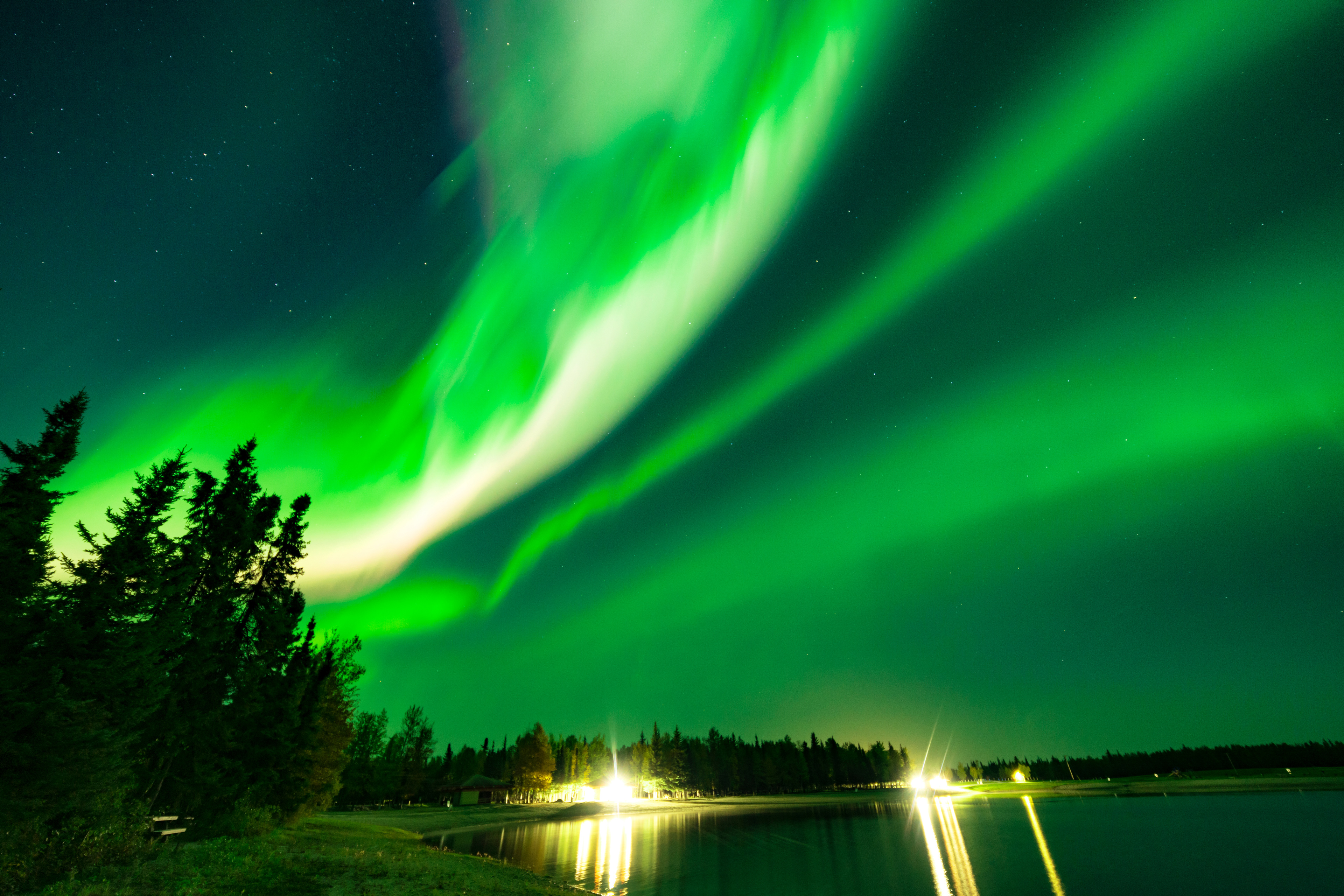
The Aurora: A Night at Chena Lake
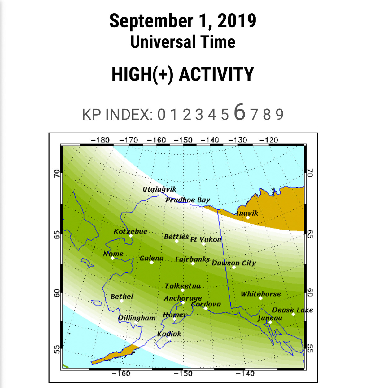
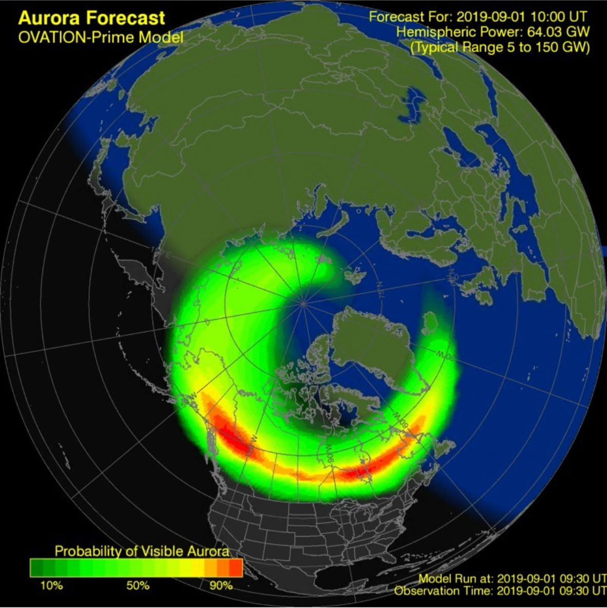
We saw the northern lights on our second night in Alaska, which felt almost unfairly good. We'd been lucky: a Kp-6 (level 6) geomagnetic storm hit during one of the few cloudless nights of our trip, coinciding almost exactly with a new moon.
A brief explanation of how aurora forecasting works, because it matters enormously if you're chasing them:
The aurora borealis is caused by solar wind — streams of charged particles ejected from the sun — interacting with Earth's magnetic field and atmosphere near the poles. The intensity is measured by the Kp index, which runs from 0 to 9. A Kp of 3–4 is visible to the naked eye under dark skies. A Kp of 5 or above is a genuine aurora storm, where the lights pulse, ripple, and fill large portions of the sky. A Kp-6 is exceptional.
The key forecasting resources:
- Alaska Geophysical Institute: A map showing aurora coverage probability over Alaska; updates every 30 minutes
- NOAA Ovation Model: A global real-time image of aurora probability that loads even on weak cell service; you can refresh it every few minutes to track movement
Three conditions must align for a good aurora night: high Kp value, clear skies, and darkness (near new moon). The aurora season in Fairbanks runs from mid-August through mid-April. Fairbanks sits near the auroral oval — the ring around the geomagnetic pole where aurora activity is concentrated — which is why it reliably has 200+ observable aurora nights per year.
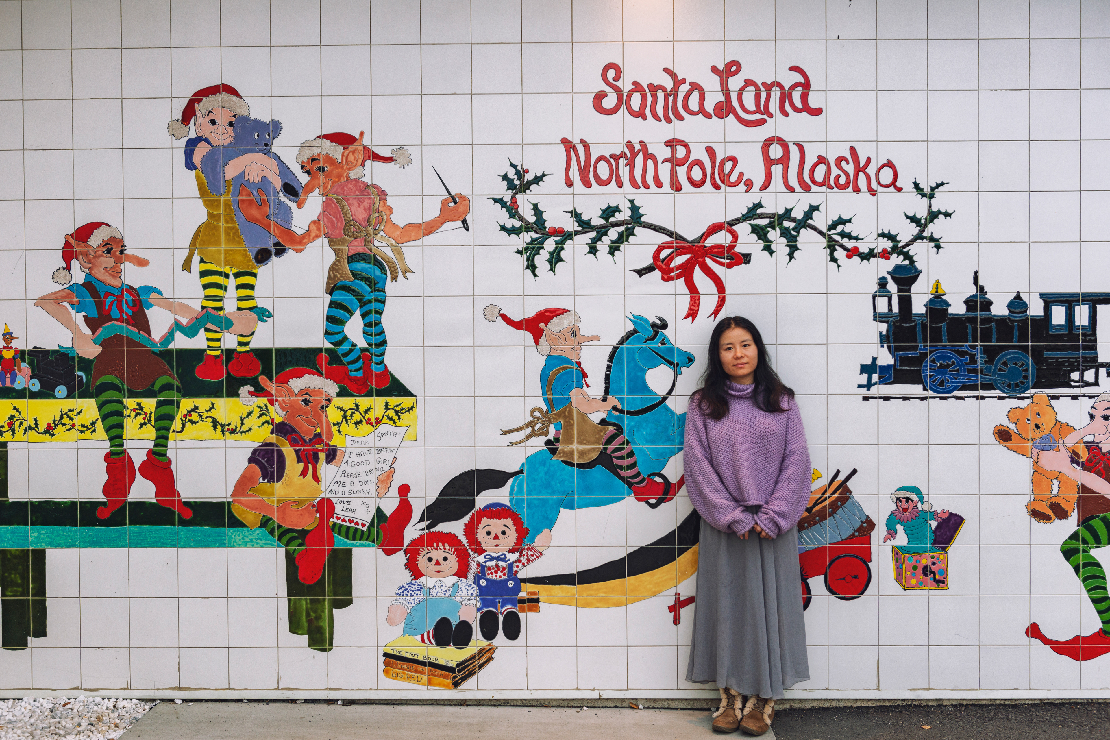
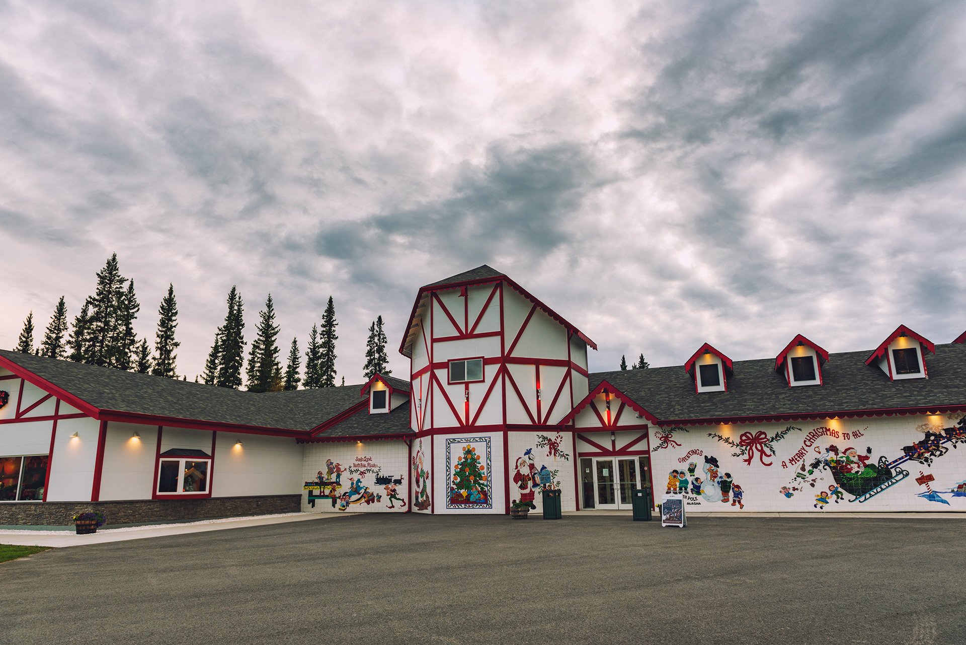
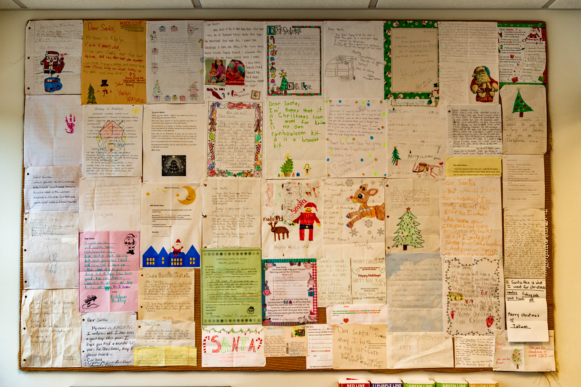
North Pole, Alaska: Yes, it's a real place — a small town just southeast of Fairbanks, and the name is not a coincidence. In the 1950s, a local developer reasoned that a toy manufacturer would jump at the chance to stamp "Made in North Pole, Alaska" on its products, and named the town accordingly to attract one. The toy company never came, but the name stuck, and the town leaned into it completely. The streets are named Santa Claus Lane, Kris Kringle Drive, and St. Nicholas Drive. Streetlights are shaped like candy canes. Christmas decorations stay up year-round, because taking them down would defeat the entire point.
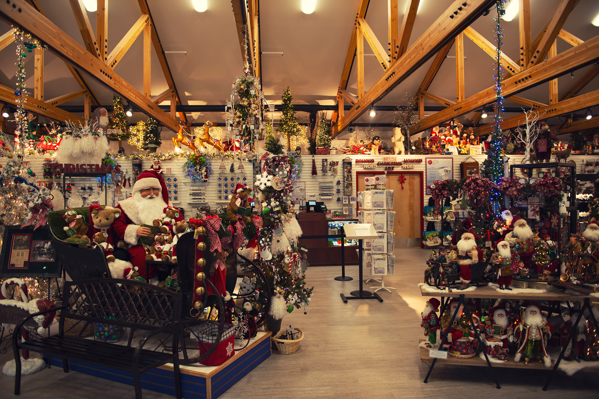
The centerpiece is the Santa Claus House — a gift shop with a 42-foot fiberglass Santa out front, live reindeer in a pen around back, and a year-round Christmas market inside. It's unapologetically kitsch, and also the reason the town's post office processes hundreds of thousands of letters addressed simply to "Santa Claus, North Pole" every December — volunteers with Operation Santa answer as many as they can. We stopped here on the drive back from the Dalton, and it's exactly the kind of detour that's more fun than it has any right to be. Worth twenty minutes if you're passing through, longer if you have kids with you.
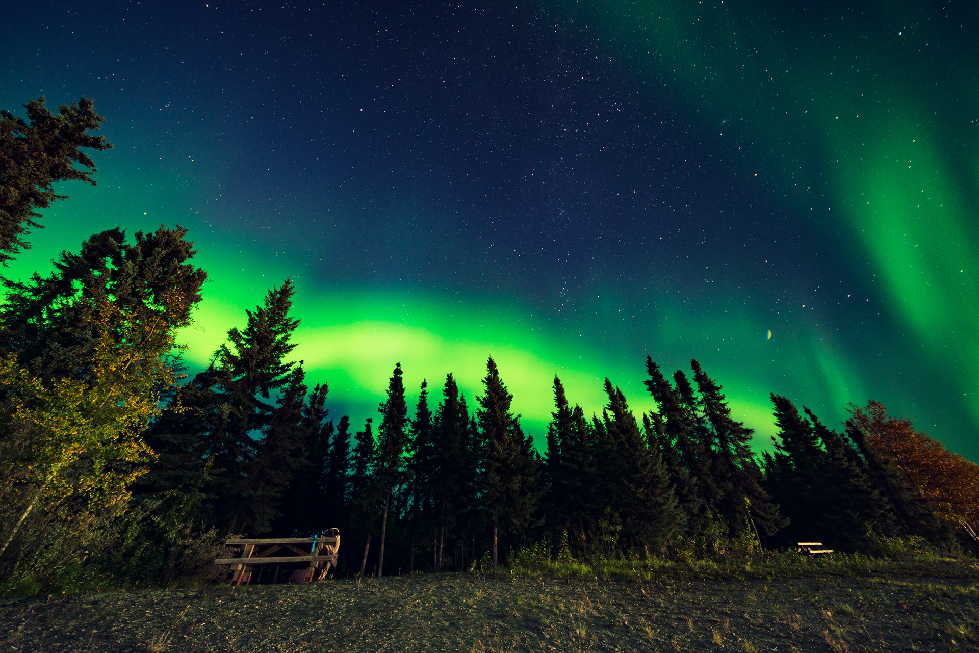
Chena Lake: We drove 40 minutes from Fairbanks to Chena Lake, away from the city lights. The aurora was already visible before we parked the car. By the time we got our cameras set up, it was overhead — green curtains sweeping from horizon to horizon, periodically folding into bright bands and then erupting into a burst of movement that looked almost electric. It lasted for hours. At its peak, the light from the aurora was bright enough to cast shadows.
Photography settings: Wide-angle lens at the widest aperture you have (f/2.8 or faster), ISO 1600, 10-second exposure. Focus manually to infinity. The key insight is that high-intensity aurora moves fast — if you use a 30-second exposure you'll blur the movement that makes a Kp-5 or higher storm so spectacular. Shorter exposures preserve the structure. Adjust ISO up or down based on test shots.
The aurora is one of those experiences that can't be adequately described or photographed. You're standing outside at midnight under a sky that is actively dancing, and no image captures the sense of motion, of scale, of the sky doing something it has no business doing. It was the most disorienting natural phenomenon I've ever witnessed. Worth every mile of the drive north.
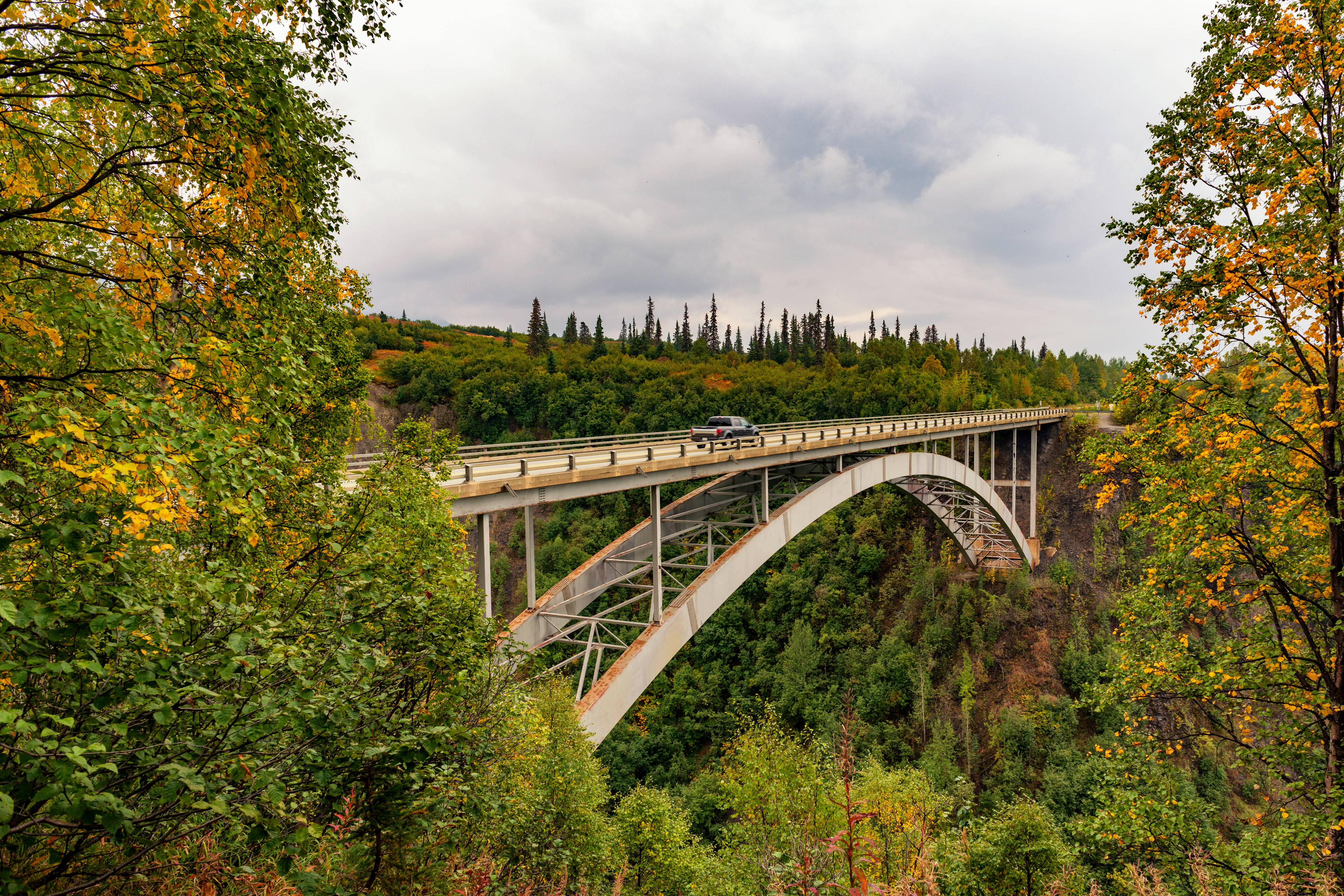
The Parks Highway
The Parks Highway (Route 3) is Alaska's spine — 362 miles connecting Anchorage to Fairbanks, running parallel to the Alaska Range. On its own, it's a beautiful drive. In context, it served as the backbone of our entire circuit.
Flattop Mountain, Anchorage A trail that can be done in two hours from the trailhead and gives you the best possible overview of Anchorage and the surrounding region. At sunset, the city below goes golden while the Cook Inlet and the Alaska Range fill the distance. This is the opening act — do it your first evening.
Hatcher Pass A scenic byway that cuts through the Talkeetna Mountains, open to 4WD vehicles. The Independence Mine Historic Park — a gold mining operation from the early 20th century — sits in a high valley of stunning beauty. The mine buildings are preserved and open to explore; the landscape around them looks like something from a northern fairy tale. We spent two hours here that we hadn't planned for and didn't regret.
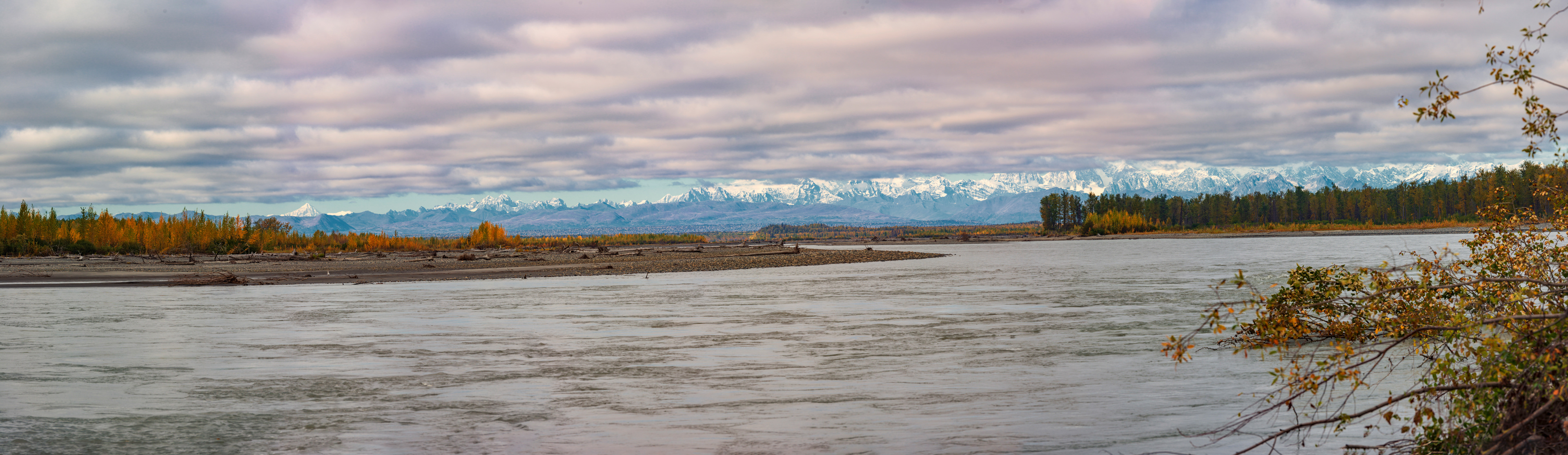
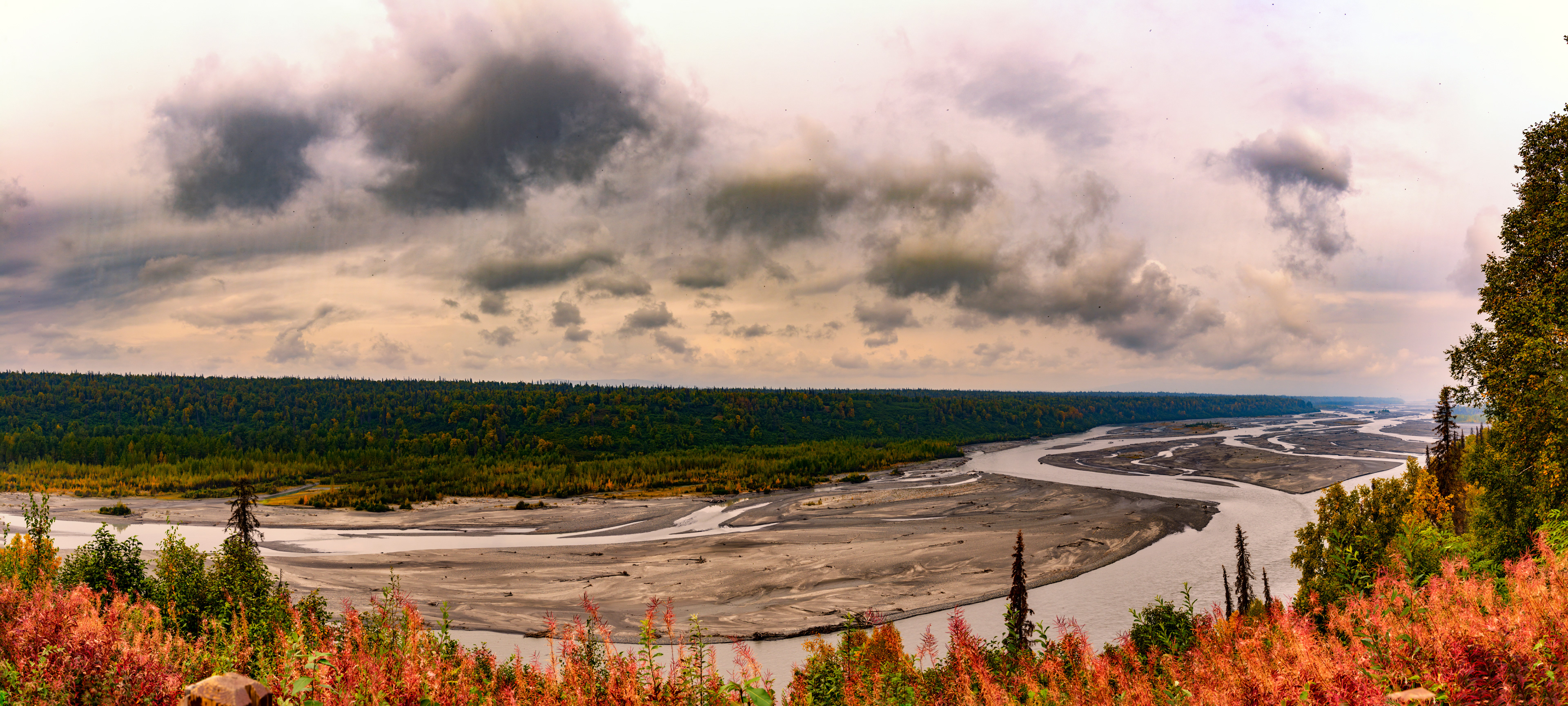
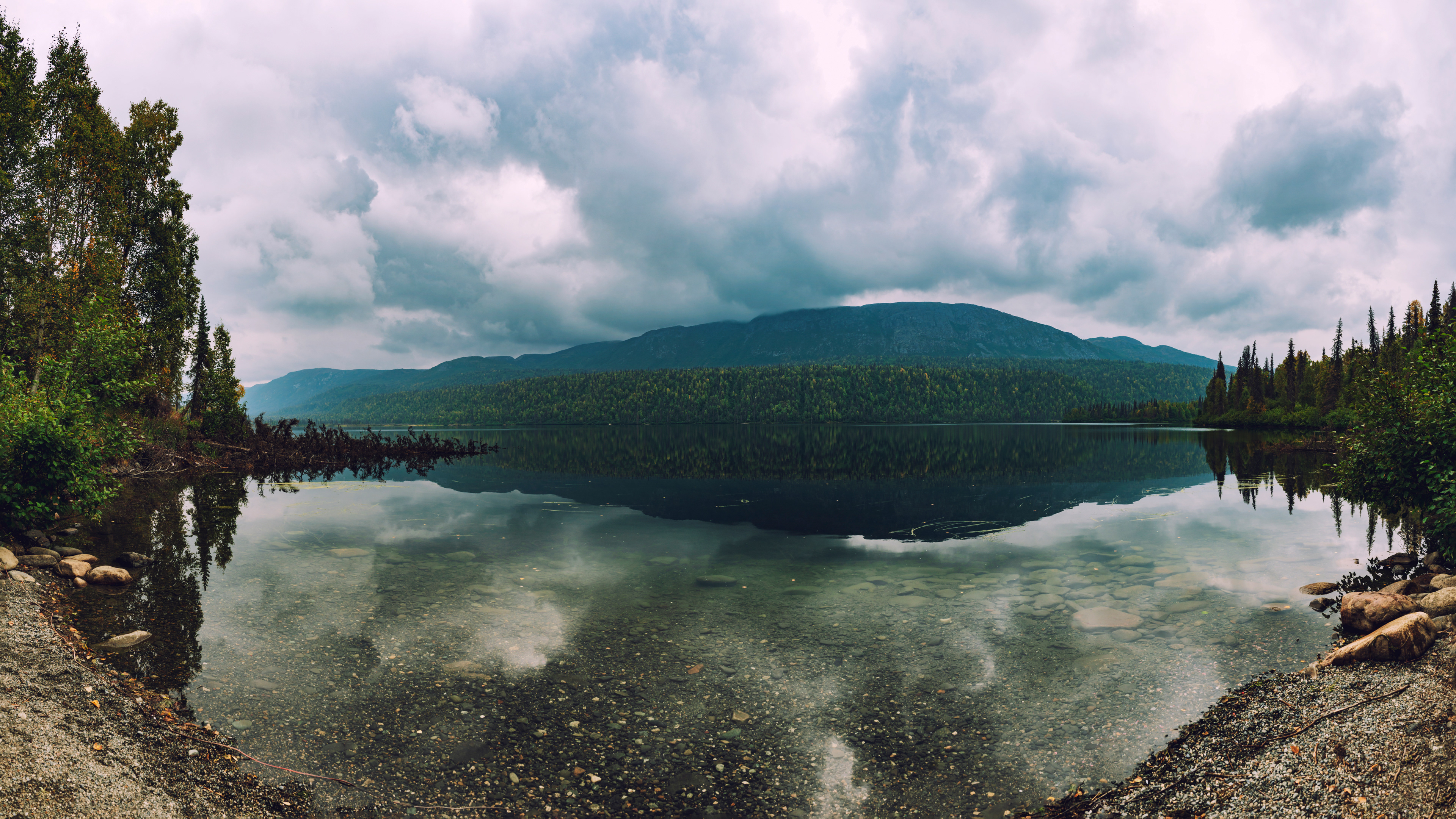
Byers Lake, Denali State Park On a clear day, the reflection of the Alaska Range in Byers Lake is the kind of image that ends up defining a trip in retrospect. The lake's surface is mirror-still in calm conditions, and the scale of the mountains behind it is enough to make you stop whatever you're doing and just look. There's camping here too — something we've added to the list for next time.

What's Next
The northern half of this trip was about scale and extremity — the furthest point north, the most challenging road, the most dramatic natural phenomenon. The southern half is something different: intimate glacier encounters, wildlife at close range, and a view of the continent's highest peak from a perspective most people never get. That's Episode 2.